The best MTB trails around Palo Alto
4.7
(47)
346
riders
18
rides
Mountain biking around Palo Alto offers diverse terrain, stretching from the San Francisco Bay to the foothills of the Santa Cruz Mountains. The region features extensive trail networks through rugged chaparral, woodlands, and rolling hills. Creeks and open spaces provide varied landscapes for exploration. This unique geography includes significant elevation changes in areas like Monte Bello Open Space Preserve, alongside gentler paths in preserves like Pearson-Arastradero.
Best mountain bike trails around Palo Alto
- The most popular mountain bike trail is Redtail Loop to Arastradero Creek Trail Loop, a 6.3 miles (10.1 km) trail that takes 53 minutes to complete. This easy route offers a scenic ride through varied landscapes.
- Another top favourite among local mountain bikers is Turtle Rock Viewpoint – Saratoga Gap loop from Monte Bello Open Space Preserve, a moderate 13.9 miles (22.3 km) path. This route features significant elevation gain and rewarding views within the Monte Bello Open Space Preserve.
- Local mountain bikers also love the Redtail Loop Trail – Arastradero Lake loop from Enid Pearson-Arastradero Preserve, a 5.7 miles (9.2 km) trail leading through diverse landscapes including rolling hills and woodlands, often completed in about 47 minutes.
- Mountain biking around Palo Alto is defined by foothills, baylands, and extensive open spaces. The network offers options for different ability levels, from easy loops to more challenging climbs.
- The routes in Palo Alto are highly rated by the komoot community with an average score of 4.7 stars from over 40 reviews. More than 300 mountain bikers have used komoot to explore Palo Alto's varied terrain.
Last updated: September 26, 2026
4.8
(17)
83
riders
10.1km
00:54
170m
170m
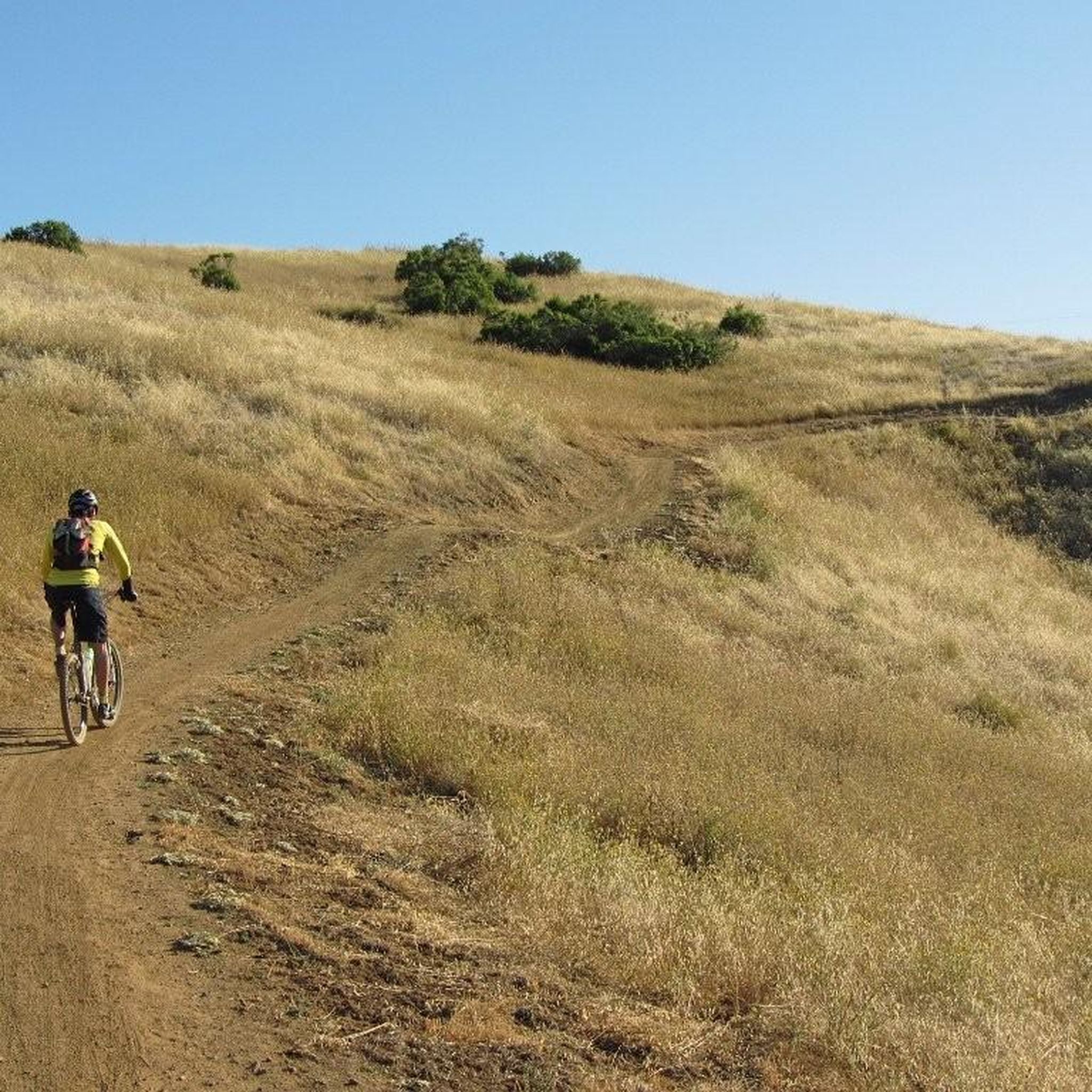
The Redtail Loop to Arastradero Creek Trail Loop offers a delightful mountain biking experience through Arastradero Preserve, showcasing a mix of oak woodlands, grassy meadows, and gentle rolling hills. You'll find yourself cruising on natural soil and compacted gravel, with the trail winding past the scenic Arastradero Lake and offering expansive views from the Arastradero Overlook. This easy 6.3-mile (10.1 km) route, with 567 feet (173 metres) of elevation gain, is perfect for a quick 53-minute ride, especially if you're a beginner looking to build confidence on varied terrain.
Planning your visit is straightforward, as Arastradero Preserve is known for being very bike-friendly, with all its trails open to mountain bikes. The preserve is particularly beautiful in spring when wildflowers bloom and the landscape is vibrant, but be mindful that heavy rains can lead to trail closures due to muddy conditions. Parking is available at the trailhead, and it's always a good idea to arrive early to secure a spot, especially during peak times. Remember to bring sun protection and water, as parts of the Redtail Loop are quite exposed.
This route is a fantastic introduction to mountain biking in the Silicon Valley area, offering a generous amount of singletrack within a multi-use park shared with hikers and horseback riders. The preserve's interconnected trail system allows for easy route improvisation if you want to extend your ride, and unique features like "The Bowl" offer opportunities for fun descents and climbs. It's a great spot for families or anyone seeking a relaxed ride with the chance to spot local wildlife like deer and various bird species.
5.0
(4)
51
riders
Moderate mountain bike ride. Good fitness required. Advanced riding skills necessary.

4.9
(9)
30
riders
Easy mountain bike ride. Great for any fitness level. Suitable for all skill levels.
4.7
(7)
30
riders
18.9km
01:32
370m
370m
Moderate mountain bike ride. Good fitness required. Suitable for all skill levels.
5.0
(1)
17
riders
Moderate mountain bike ride. Good fitness required. Suitable for all skill levels.
Get access to more routes and recommendations from other explorers.
Already have an account?
Our route recommendations are based on thousands of hikes, rides, and runs completed by other people on komoot.
Start today with a free account
Your next adventure awaits.

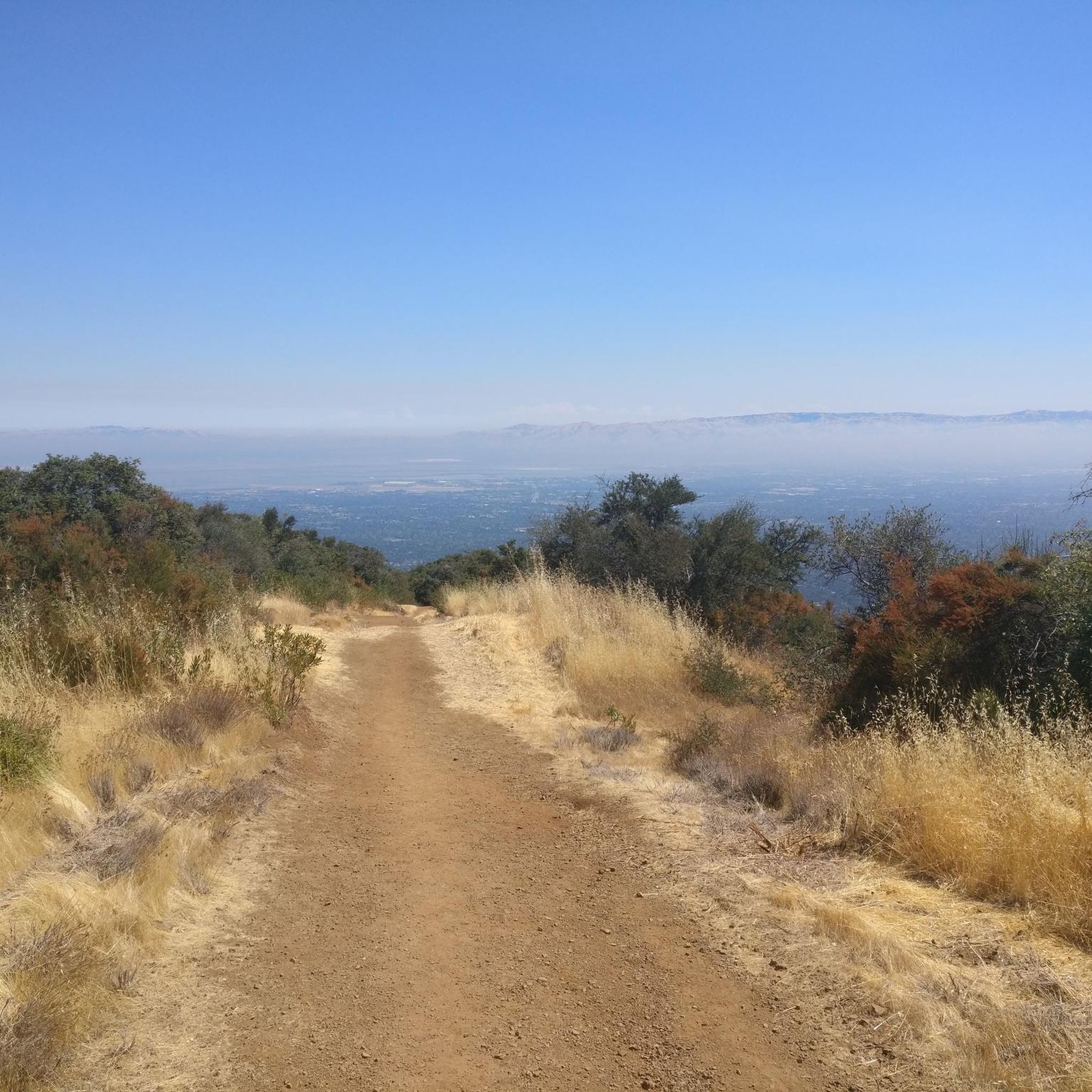
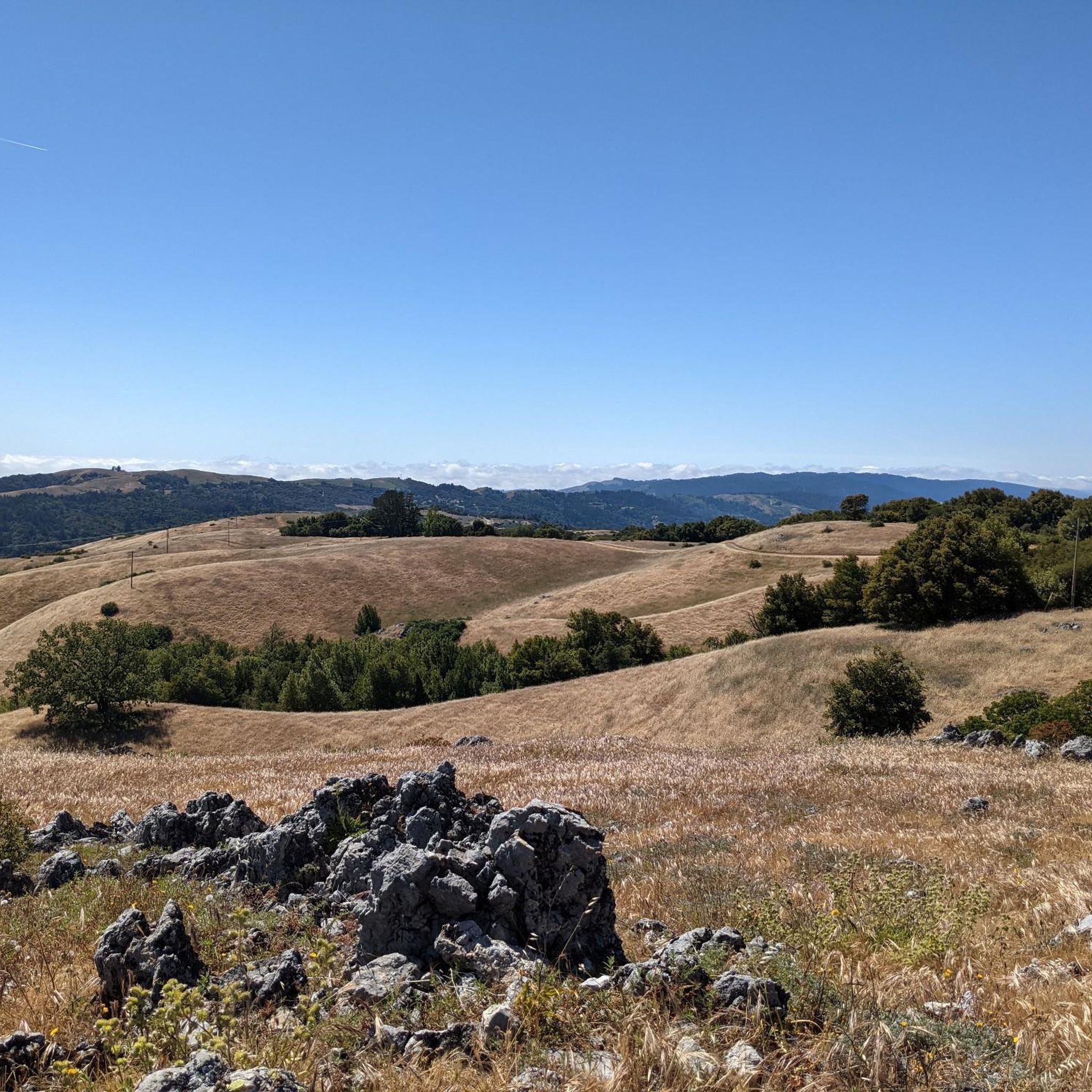
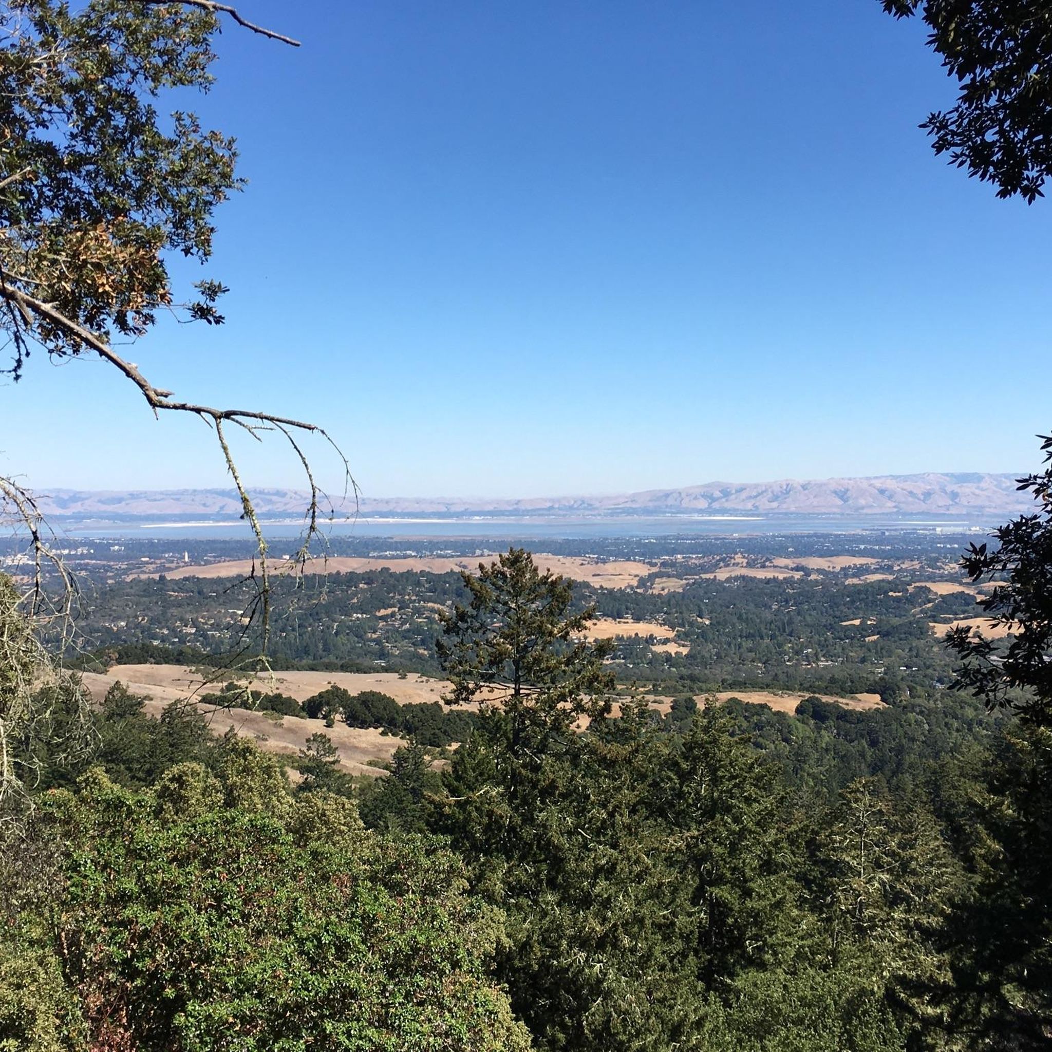
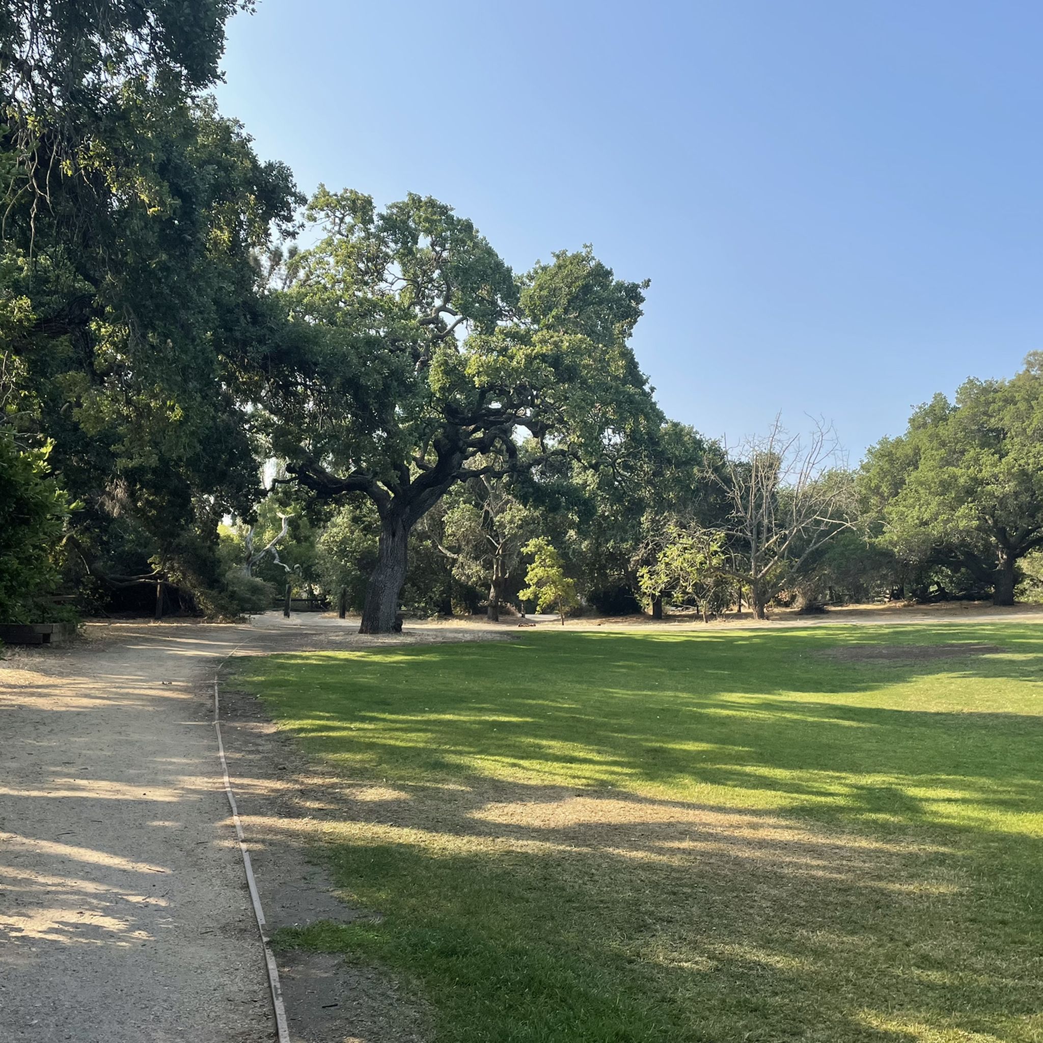
Other adventures around Palo Alto

Tips from the Community


Enid Pearson-Arastradero Preserve offers rolling grasslands mixed with oak and evergreen trees. The trail system starts on pavement and transitions to packed dirt and gravel—great for bikes with wider tires or a solid gravel setup. Keep an eye out for deer, coyotes, and even bobcats, and take a moment to pause at one of the benches or by Arastradero Lake to enjoy the open views.
0
0

Turtle Rock is the highest and most prominent mountain in the area. From this viewpoint, you can enjoy a panoramic view of the surrounding mountains, especially stunning at sunset. Be cautious, as the trail is popular and often busy with hikers.
1
0
Here, the Steve's Creek Nature Trail and the Canyon Trail intersect. A lovely patch of grass surrounds the junction, making it an ideal spot for a break.
0
0

Boronda Lake features a couple scenic picnic areas with piers out over the water. A small arched bridge leads out to Sunfish Island from a trail on the side of the lake opposite the road. This is great place from which to enjoy beautiful Foothills Nature Preserve.
0
0

Long Ridge Open Space Preserve is a 2,035-acre preserve that follows Long Ridge in the Santa Cruz Mountains. There are a variety of trails that can be used for hiking, biking, or horse riding. This is a dirt trail area, so it is more suited for gravel bikes or a stout touring bike; a hardtail would be ideal. In addition, this is a preserve and not a park, so there are no facilities that you would normally expect in a park, such as bathrooms, drinking water fountains, picnic tables, snack bars, or stores.
1
0
At the convergence of the Long Ridge Trail and Long Ridge Road, you will find the Wallace Stegner Bench. This overlook was one of the favorite places of author and conservationist Wallace Stegner. There are panoramic views of the Santa Cruz Mountains and the Pacific Ocean to be had from here. However, if you come up by bike, the dirt trail is best suited for a touring bike with decent tires or a gravel bike.
1
0

Turtle Rock gets its name because it looks like a little turtle with its head sticking up. This is a stunning spot to take a break and enjoy the overlook of the rolling hills and clouds roaming through the valleys.
0
0
Frequently Asked Questions
How many mountain bike trails are available around Palo Alto?
There are over a dozen mountain bike trails around Palo Alto, offering a variety of experiences. The komoot community has mapped 16 routes, with 10 rated as easy and 6 as moderate, ensuring options for different skill levels.
What kind of terrain can I expect on mountain bike trails in Palo Alto?
Palo Alto's mountain biking terrain is incredibly diverse, ranging from the San Francisco Bay to the foothills of the Santa Cruz Mountains. You'll find rugged chaparral, woodlands, rolling hills, and even marshlands. Areas like Monte Bello Open Space Preserve offer significant elevation changes, while preserves such as Pearson-Arastradero provide gentler paths through varied landscapes.
Are there any family-friendly mountain bike trails in Palo Alto?
Yes, Palo Alto offers several family-friendly options, particularly among the easy-rated trails. A good choice is the Redtail Loop to Arastradero Creek Trail Loop, which is 10.1 km long and takes about 53 minutes to complete. Another easy, scenic option is the Redtail Loop Trail – Arastradero Lake loop from Enid Pearson-Arastradero Preserve, covering 9.2 km in about 47 minutes.
What is the best time of year to go mountain biking in Palo Alto?
Palo Alto benefits from a Mediterranean-like climate with mild winters and warm, dry summers, making its trails accessible almost year-round. Spring and fall are particularly pleasant, offering comfortable temperatures and vibrant scenery. Even in winter, conditions are generally favorable for riding.
Are there any challenging mountain bike trails for experienced riders?
While there are no trails rated as 'difficult' in our current selection, experienced riders can find moderate challenges. The Turtle Rock Viewpoint – Saratoga Gap loop from Monte Bello Open Space Preserve is a moderate 22.3 km route with significant elevation gain, offering rewarding views. Another moderate option is the White Oak Trail – Old Ranch Trail loop from Los Trancos Open Space Preserve, which includes substantial climbs over its 9.9 km.
What natural features or landmarks can I see along the mountain bike trails?
Palo Alto's trails offer views of diverse natural features and landmarks. You can explore the extensive marshlands of the Palo Alto Baylands Nature Preserve, the rolling hills and woodlands of Pearson-Arastradero Preserve, and the rugged terrain of Monte Bello Open Space Preserve. Highlights you might encounter include Black Mountain, Windy Hill Summit, or the historic Woodside Store.
Are there mountain bike trails that form a loop?
Yes, many mountain bike trails in Palo Alto are designed as loops, providing a convenient and immersive riding experience. Examples include the easy Redtail Loop to Arastradero Creek Trail Loop and the moderate Turtle Rock Viewpoint – Saratoga Gap loop from Monte Bello Open Space Preserve.
What do other mountain bikers say about the trails in Palo Alto?
The mountain bike trails around Palo Alto are highly regarded by the komoot community, with an average rating of 4.7 out of 5 stars from over 40 reviews. Riders often praise the diverse landscapes, well-maintained paths, and the variety of options available for different skill levels.
Can I expect to see wildlife while mountain biking in Palo Alto?
Yes, Palo Alto's preserves and open spaces are rich in wildlife. In areas like Foothills Nature Preserve and Pearson-Arastradero Preserve, it's common to spot deer and coyotes, and occasionally bobcats. The Palo Alto Baylands Nature Preserve is also an excellent spot for birdwatching.
Are there any trails with jumps or specific features for mountain bikers?
For those looking for specific features, the Bowl Loop Jumps – Arastradero Lake loop from Enid Pearson-Arastradero Preserve is an easy 9.5 km route that includes sections with jumps, offering a fun experience for riders interested in adding some air to their ride.
How long are the mountain bike trails near Palo Alto?
The mountain bike trails near Palo Alto vary in length. You can find shorter, easy loops like the Redtail Loop Trail – Arastradero Lake loop at 9.2 km (about 47 minutes), up to longer, moderate routes such as the Turtle Rock Viewpoint – Saratoga Gap loop, which spans 22.3 km (about 2 hours and 13 minutes).
Most popular routes around Palo Alto
Most popular attractions around Palo Alto

Get inspired with the komoot mobile app


Explore more
Browse the best MTB trails in other regions.
