The best walks and hikes around Palo Alto
4.6
(519)
7,861
hikers
89
hikes
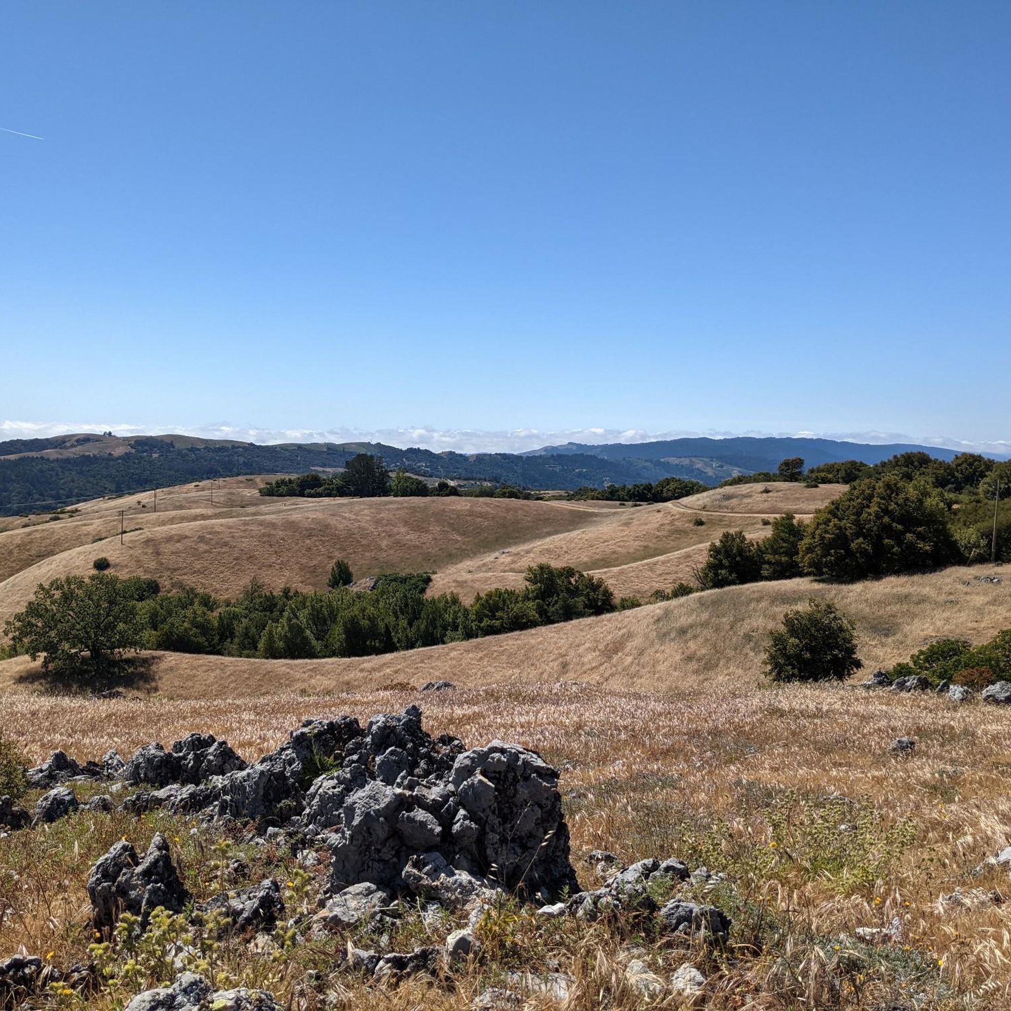
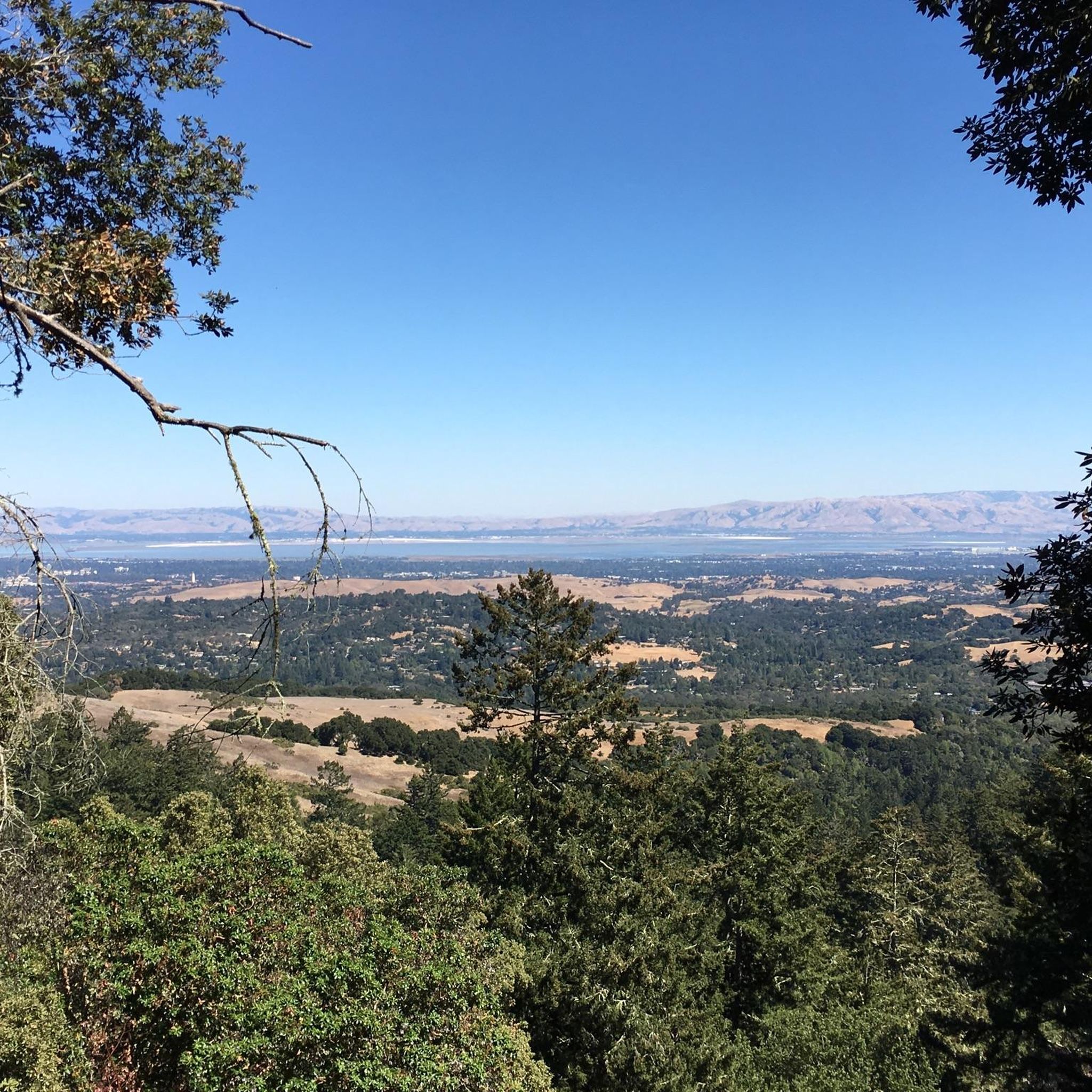
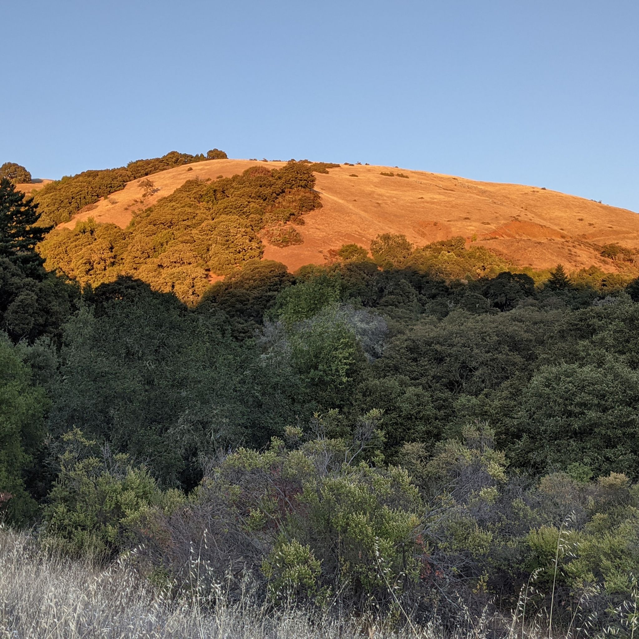
Hiking around Palo Alto offers diverse landscapes, ranging from flat marshlands near the San Francisco Bay to rolling savanna grasslands and wooded preserves in the foothills. The region is characterized by varied ecosystems, including chaparral and dense forests in the Santa Cruz Mountains. This geographical diversity provides options for both tranquil bay views and more strenuous uphill treks.
Best hiking trails around Palo Alto
- The most popular hiking route is Table Mountain via Long Ridge, a 10.2 miles (16.4 km) trail that takes about 4 hours 55 minutes to complete. This route features open grasslands and views across the Santa Cruz Mountains.
- Another top favourite among local hikers is Redtail Loop Trail, an easy 3.0 miles (4.9 km) path. This trail offers views of rolling hills and leads to Arastradero Lake.
- Local hikers also love the Adobe Creek Loop Trail, a 6.7 miles (10.8 km) trail leading through tidal and freshwater habitats, often completed in about 2 hours 45 minutes.
- Hiking around Palo Alto is defined by marshland trails, rolling savanna grasslands, and wooded preserves. The network of paths offers options for different ability levels, from short, level walks to longer, more challenging hikes.
- The routes in Palo Alto are highly rated by the komoot community with an average score of 4.6 stars from over 500 reviews. More than 7000 hikers have used komoot to explore Palo Alto's varied terrain.
Last updated: August 31, 2026
5.0
(3)
78
hikers
10.8km
02:45
30m
20m
Embark on a moderate hike along the Adobe Creek Loop Trail, a 6.7-mile (10.8 km) route that offers continuous scenic vistas of protected bayside marshland. You'll gain a gentle 83 feet (25 metres) in elevation, making this an accessible outing for many. The trail meanders alongside Adobe Creek and Charleston Slough, providing a tranquil atmosphere as you explore the salt marshes and mudflats. Expect to spend around 2 hours and 44 minutes immersed in this unique natural setting. It's a perfect way to experience the serene beauty of the Palo Alto Baylands.
Accessing the Adobe Creek Loop Trail is straightforward, with parking generally available at the trailheads. This multi-use path welcomes both hikers and cyclists, offering a shared experience for various outdoor enthusiasts. If you plan to bring your dog, remember that the trail is dog-friendly, but they must remain on a leash at all times to protect the local wildlife. Consider starting your adventure in the morning or late afternoon for the best light and cooler temperatures.
The Adobe Creek Loop Trail is a prime location for birdwatching, especially during low tide when a wide variety of waterfowl, such as pelicans and herons, feed in the mudflats. This route provides an excellent opportunity to observe the diverse wildlife that thrives in the protected bayside marshland. The trail's flat terrain and continuous views make it an ideal spot for nature photography and quiet contemplation of the natural world.
36
hikers
4.86km
01:21
90m
90m
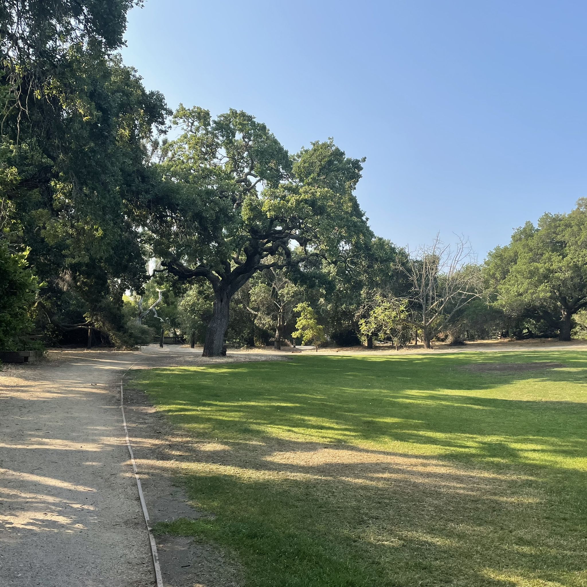
The Redtail Loop Trail offers a delightful and accessible hike through the Enid Pearson-Arastradero Preserve, showcasing the rolling hills and open spaces near Palo Alto. You'll traverse a mix of gentle and moderately steep sections on a well-defined doubletrack path, enjoying wide-open vistas that stretch towards Windy Hill and the iconic Stanford Dish. Keep an eye out for the shimmering Arastradero Lake as you make your way around this scenic route, especially in spring when the landscape is vibrant green and local wildlife, like soaring Red-tailed hawks, are often active.
Planning your visit to the Redtail Loop Trail is straightforward; it's an easy 3.0-mile (4.9 km) loop with 284 feet (87 metres) of elevation gain, typically taking about 1 hour and 20 minutes. The trail is multi-use, welcoming hikers, bikers, and even leashed dogs, making it a versatile option for many. Be prepared for significant sun exposure, as tree cover is limited, so bring water and sun protection. Spring is particularly recommended for its lush scenery and wildlife spotting opportunities.
This trail stands out as an excellent family-friendly option and a great introduction to hiking for beginners, offering a rewarding outdoor experience within the City of Palo Alto's Open Space. Its clear path and moderate challenge make it suitable for a wide range of fitness levels. The Redtail Loop also provides convenient connections to other trails within the preserve, such as the Meadowlark Trail, allowing you to easily extend your outing if you're looking for a longer adventure.

Sign up for free
5.0
(1)
21
hikers
11.6km
03:16
250m
250m
Explore the varied landscapes of the Arastradero Creek Loop, a moderate 7.2-mile (11.6 km) hike with 834 feet (254 metres) of elevation gain that typically takes about 3 hours and 16 minutes. You'll journey through rolling savanna grasslands and dense oak forests, passing tranquil spots like Arastradero Lake where you might catch morning steam rising. The trail offers a mix of wide gravel paths and narrower dirt tracks, providing a dynamic experience for hikers.
Planning your visit to the Arastradero Creek Loop is straightforward, as the preserve is easily accessible. Be prepared for some steep sections, though many climbs are made manageable by zigzags. Note that some trails within the preserve are subject to seasonal closures after heavy rain to prevent muddy conditions. The paths are well-maintained and clearly marked, making it a great option for those new to trail hiking.
This loop is situated within the Pearson-Arastradero Preserve, a haven for wildlife where you might spot deer, bobcats, coyotes, and various bird species. The preserve's diverse habitats, from riparian areas along Arastradero Creek to expansive grasslands, support a rich ecosystem. In spring, the meadows burst with wildflowers like California poppy and lupines, adding a splash of color to your hike.
5.0
(1)
17
hikers
15.5km
05:01
700m
700m
Embark on the Creek Trail to Black Mountain Loop, a difficult hike that guides you through diverse landscapes within Rancho San Antonio Open Space Preserve. You will traverse shaded oak woodlands, ascend chaparral ridges, and navigate exposed fire roads. The 9.7 miles (15.5 km) route involves a substantial 2287 feet (697 metres) of elevation gain, culminating in panoramic views from the 2,812-foot Black Mountain summit, offering vistas of the San Francisco Bay, Pacific Ocean, and Silicon Valley. Expect this challenging journey to take around 5 hours to complete.
Given the trail's difficulty and exposed sections, it is essential to prepare adequately for your visit. Bring plenty of water to stay hydrated, especially on sunny days, and consider starting early to avoid the harshest midday sun. This route demands a good level of fitness, so ensure you are ready for a significant cardiovascular workout. Check weather conditions before you go to make sure you have a safe and enjoyable experience.
This loop is a standout experience in the region, celebrated for its dramatic changes in scenery and the rewarding views from Black Mountain. The varied ecosystems you encounter, from dense woodlands to open ridges, showcase the natural beauty of the Bay Area. It is a prime example of the challenging and scenic trails available in Rancho San Antonio Open Space Preserve, making it a popular choice for experienced hikers seeking a strenuous adventure with a grand payoff.
10
hikers
16.4km
04:55
520m
520m
The Table Mountain via Long Ridge trail is a fantastic moderate hike that takes you on a diverse journey through the Long Ridge Open Space Preserve. You'll traverse shady woodlands with moss-covered trees and lush ferns, then emerge into expansive grasslands offering sweeping views of the Santa Cruz Mountains. This 10.2-mile (16.4 km) route, with its 1703 feet (519 metres) of elevation gain, typically takes about 4 hours and 55 minutes, making it a rewarding day out for hikers who appreciate varied terrain and stunning vistas, including the Table Mountain summit.
When planning your visit, aim for spring to witness spectacular wildflower displays in the meadows, or choose a clear day for the best chance to see the Pacific Ocean from viewpoints like the Wallace Stegner Bench. The trails are generally well-signed and maintained, though some sections can be rocky or uneven. While the preserve offers a beautiful escape, be mindful that some ambient noise from Skyline Boulevard or a nearby gun club might occasionally carry to parts of the trail.
This trail is a great way to experience the natural beauty of the Santa Cruz Mountains, showcasing a rich mix of environments from cool creekside forests to sun-drenched hilltops. Beyond the scenic beauty, you can also look for unique features like Turtle Rock and the Bodhidharma Cave. It's a solid choice for those looking for a substantial hike with a good workout and plenty of visual interest, providing a true sense of journey through California's diverse landscape.
Get access to more routes and recommendations from other explorers.
Sign up for free
Already have an account?
Our route recommendations are based on thousands of hikes, rides, and runs completed by other people on komoot.
Start today with a free account
Your next adventure awaits.
Login or Signup

Other adventures around Palo Alto

Tips from the Community


Turtle Rock is the highest and most prominent mountain in the area. From this viewpoint, you can enjoy a panoramic view of the surrounding mountains, especially stunning at sunset. Be cautious, as the trail is popular and often busy with hikers.
1
0

Black Mountain, situated on Monte Bello Ridge, is a popular destination for hikers and mountain bikers. With an elevation of 2,812 feet, it's easy to understand why. From the summit, the views of the Santa Cruz Mountains and Silicon Valley are breathtaking.
0
0
This spot is a fantastic place to view the many American White Pelicans and other birds on the island of Adobe Creek. A lovely bench is here, ideal for taking a quiet break and capturing some beautiful photos.
0
0

Long Ridge Open Space Preserve is a 2,035-acre preserve that follows Long Ridge in the Santa Cruz Mountains. There are a variety of trails that can be used for hiking, biking, or horse riding. This is a dirt trail area, so it is more suited for gravel bikes or a stout touring bike; a hardtail would be ideal. In addition, this is a preserve and not a park, so there are no facilities that you would normally expect in a park, such as bathrooms, drinking water fountains, picnic tables, snack bars, or stores.
1
0
Explore the reclaimed beauty of Charleston Slough, a former Leslie salt pond transforming into a marsh on the western shore of San Francisco Bay. Once altered for saltwater evaporation, the slough underwent significant restoration by the City of Mountain View in 1996, undoing the damage caused by Leslie Salt. Now, it stands as a more environmentally-friendly salt marsh.
0
0

Turtle Rock gets its name because it looks like a little turtle with its head sticking up. This is a stunning spot to take a break and enjoy the overlook of the rolling hills and clouds roaming through the valleys.
0
0
More Information
FAQs about hike in Palo Alto
- What are the best easy hikes around Palo Alto?
Palo Alto offers 34 easy hikes. A popular easy route is the "Long Ridge Trail loop — Long Ridge Open Space Preserve", which is 6.70 km long and takes about 1 hour 53 minutes. - What is the longest hiking route in Palo Alto?
The longest hiking route is "Ridge Trail, Peters Creek & Canyon Trail loop — Skyline Ridge Open Space Preserve", spanning 24.14 km with an elevation gain of 673.62 meters, taking around 7 hours 3 minutes. - Which hike is most popular in Palo Alto?
The "Long Ridge Trail loop — Long Ridge Open Space Preserve" is highly regarded, covering 6.70 km in about 1 hour 53 minutes. - How many hiking trails are there in total around Palo Alto?
There are 58 hiking routes in total around Palo Alto, including 34 easy, 18 moderate, and 6 difficult trails. - What kind of natural attractions can I expect to see while hiking in Palo Alto?
While hiking in Palo Alto, you can explore various natural attractions such as lakes, mountain peaks, and natural monuments. - What are the general difficulty levels for hikes in Palo Alto?
Hikes in Palo Alto range from easy trails, suitable for all fitness levels, to more difficult routes requiring very good fitness and sure-footedness. - Are there other outdoor activities besides hiking available in Palo Alto?
Yes, beyond hiking, Palo Alto also offers guides for running, road cycling routes, cycling, mountain biking, and gravel biking. - How are the hikes in Palo Alto rated by other users?
The komoot community rates the hikes around Palo Alto highly, with an average score of 4.58 stars based on 115 reviews.
Frequently Asked Questions
How many hiking trails are there around Palo Alto?
There are over 50 hiking trails to explore around Palo Alto. The terrain is quite varied, offering everything from flat, marshland paths in the Baylands to strenuous climbs in the foothills, ensuring options for all fitness levels.
Are there any easy, family-friendly hikes in the area?
Yes, Palo Alto has many trails suitable for families. A great option is the Franciscan Loop Trail — Los Trancos Open Space Preserve. It's a short, gentle walk through oak woodland that's perfect for a quick family outing.
Can I bring my dog on the trails?
Dog policies vary by preserve. While many areas have restrictions, the Pearson-Arastradero Preserve is a popular, dog-friendly open space with marked trails for hiking with your canine companion.
What are some popular places for hiking in Palo Alto?
Locals and visitors enjoy a few key areas for hiking:
- Palo Alto Baylands Nature Preserve: Highly regarded for its flat trails through vast marshlands, making it ideal for bird-watching and gentle walks.
- Foothills Nature Preserve: A favorite for its classic woodland and field hikes, with miles of trails and the serene Boronda Lake.
- Pearson-Arastradero Preserve: Known for its rolling savanna grasslands and dog-friendly policies.
- Monte Bello Open Space Preserve: Offers stunning views of the Santa Clara Valley from its well-maintained trails.
What kind of hiking is available at the Baylands Nature Preserve?
The Baylands Nature Preserve offers a unique hiking experience on flat, easy trails through one of the largest tracts of undisturbed marshland on the San Francisco Bay. It's an excellent destination for birdwatching and enjoying expansive views of the bay, rather than for strenuous hill climbs.
Are there any challenging hikes for experienced hikers?
Yes, for those seeking a challenge, the Ridge Trail, Peters Creek & Canyon Trail loop is a difficult 15-mile (24 km) hike. This demanding route in the Skyline Ridge Open Space Preserve involves significant elevation gain and rewards hikers with immersive woodland scenery.
What do other hikers enjoy most about the trails in Palo Alto?
The area is highly rated by the komoot community, with an average score of 4.6 stars from over 100 reviews. Hikers often praise the diversity of landscapes, from the flat, bird-rich Baylands to the wooded, hilly preserves. The well-maintained trails and clear signposting are also frequently mentioned.
What makes Foothills Nature Preserve a good hiking destination?
Foothills Nature Preserve is a 1,400-acre park offering a classic hiking experience with 15 miles of trails through rugged woodlands, fields, and chaparral. Highlights include Boronda Lake, where you can fish or canoe, and Vista Hill, which provides panoramic views of the landscape.
Are there any good circular or loop hikes?
Absolutely. A popular loop is the Boronda Lake — Foothills Nature Preserve trail. This easy 3.8-mile (6.1 km) circuit takes you around the lake and through beautiful mixed woodland, making for a pleasant and contained outing.
What wildlife might I see while hiking?
The diverse habitats support a variety of wildlife. In the Baylands Nature Preserve, you can spot numerous bird species, including the endangered California Clapper Rail. In the Foothills Nature Preserve and other woodland areas, it's common to see deer, coyotes, and even bobcats.
When is the best time of year to hike in Palo Alto?
Hiking is possible year-round. Spring brings vibrant wildflowers and pleasant temperatures. Autumn offers clear skies and comfortable weather. Summers can be hot, especially on exposed trails, so early morning hikes are recommended. Winter is cooler and greener after the rains, but trails can be muddy.
Are there any trails with great viewpoints?
Yes, for excellent views, consider the Long Ridge Trail to Wallace Stegner Bench. This route offers open grasslands and rewarding vistas across the Santa Cruz Mountains. Vista Hill in Foothills Nature Preserve is another spot known for its panoramic scenery.
Most popular routes around Palo Alto
Most popular attractions around Palo Alto

Get inspired with the komoot mobile app


Explore more
Browse the best Hikes in other regions.
