The best gravel rides around Los Altos Hills
4.8
(27)
243
riders
43
rides
Gravel biking around Los Altos Hills is characterized by its distinctive rolling hills and an extensive network of pathways. The terrain offers a mix of challenging ascents and descents, with routes often combining paved surfaces and unpaved segments. Riders can expect scenic landscapes with views of the surrounding hills and valleys, connecting to various open space areas. The region provides a diverse gravel biking experience suitable for different skill levels.
Best gravel bike trails around Los Altos Hills
- The most popular gravel bike trail is Arastradero Lake – Bowl Loop Jumps loop from California Avenue, an 18.0 miles (29.0 km) trail that takes 1 hour 52 minutes to complete. This route features a moderate difficulty with significant elevation gain through varied terrain.
- Another top favourite among local gravel bikers is San Francisco Bay Trail – Shoreline Lake loop from San Antonio, a moderate 19.7 miles (31.7 km) path. This trail offers a flatter profile with scenic views along the San Francisco Bay.
- Local gravel bikers also love the White Oak Trail – Bella Vista Trail loop from Los Trancos Open Space Preserve, a 6.2 miles (10.0 km) trail leading through open space preserves, often completed in about 1 hour 8 minutes.
- Gravel biking around Los Altos Hills is defined by rolling hills, a comprehensive pathway system, and connections to open space areas. The network offers options for different ability levels, from leisurely rides to challenging climbs.
- The routes in Los Altos Hills are highly rated by the komoot community with an average score of 4.6 stars from over 10 reviews. More than 200 gravel bikers have used komoot to explore Los Altos Hills's varied terrain.
Last updated: August 23, 2026
4.6
(5)
26
riders
30.0km
01:53
350m
350m
Moderate gravel ride. Good fitness required. Mostly paved surfaces. Suitable for all skill levels.
5.0
(1)
4
riders
Moderate gravel ride. Good fitness required. Mostly paved surfaces. Suitable for all skill levels.

Sign up for free
5.0
(1)
21
riders
Easy gravel ride. Great for any fitness level. Mostly paved surfaces. Suitable for all skill levels.
5.0
(5)
37
riders
Moderate gravel ride. Good fitness required. Mostly paved surfaces. Suitable for all skill levels.
11
riders
Easy gravel ride. Great for any fitness level. Mostly paved surfaces. Suitable for all skill levels.
Get access to more routes and recommendations from other explorers.
Sign up for free
Already have an account?
Our route recommendations are based on thousands of hikes, rides, and runs completed by other people on komoot.
Start today with a free account
Your next adventure awaits.
Login or Signup
Tips from the Community


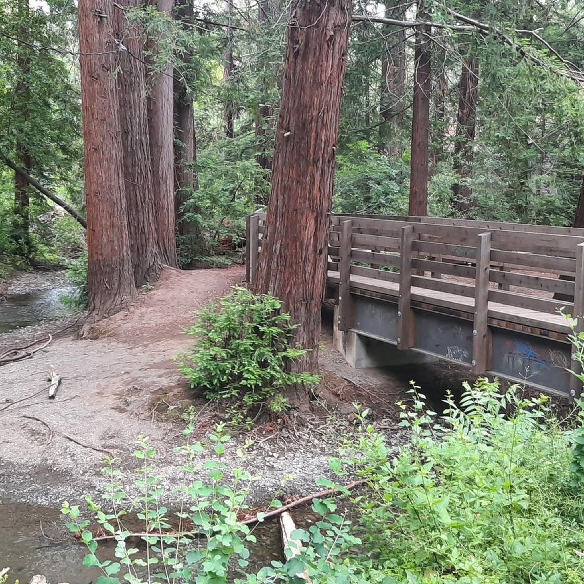
Enid Pearson-Arastradero Preserve offers rolling grasslands mixed with oak and evergreen trees. The trail system starts on pavement and transitions to packed dirt and gravel—great for bikes with wider tires or a solid gravel setup. Keep an eye out for deer, coyotes, and even bobcats, and take a moment to pause at one of the benches or by Arastradero Lake to enjoy the open views.
0
0

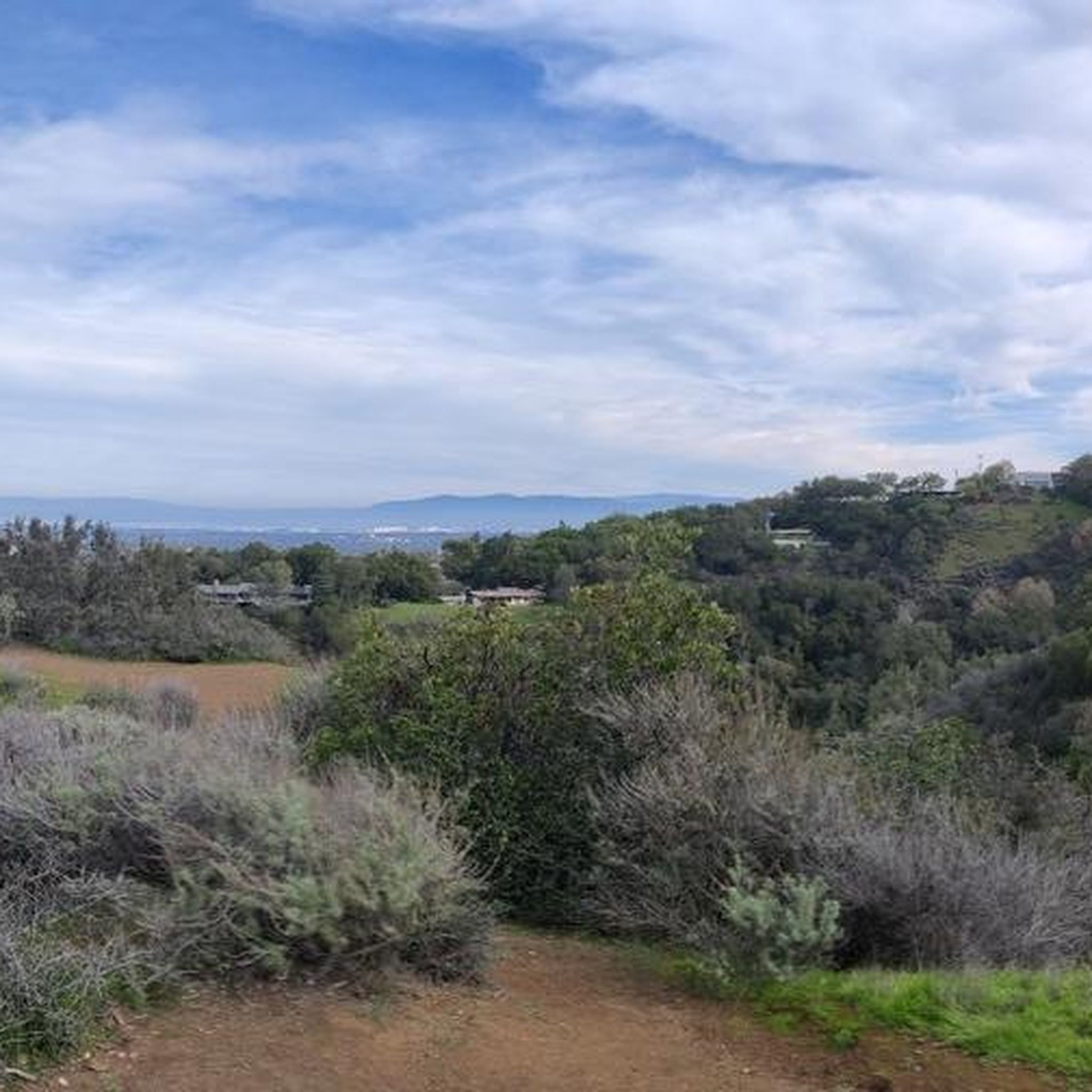
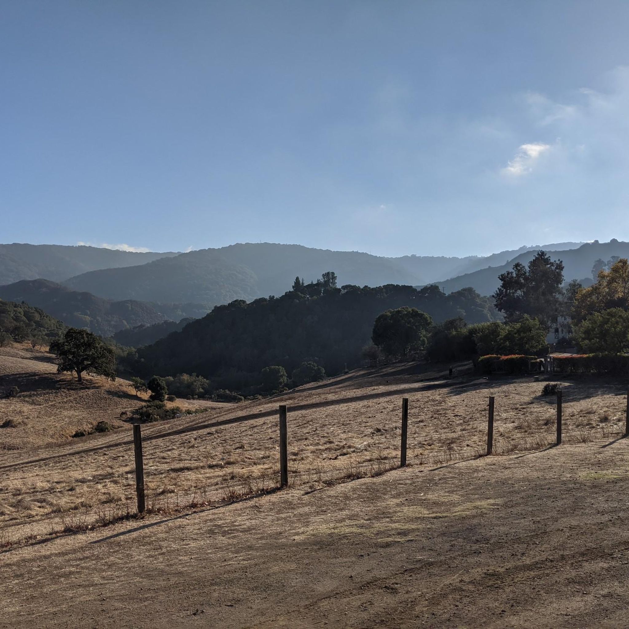
Just right off the picnic bench area lies a viewpoint of the Pearson-Arastradero Preserve. An open meadow offers views of the preserve and surrounding mountains. It's a nice shaded area for a break!
0
0
Here, the Steve's Creek Nature Trail and the Canyon Trail intersect. A lovely patch of grass surrounds the junction, making it an ideal spot for a break.
0
0

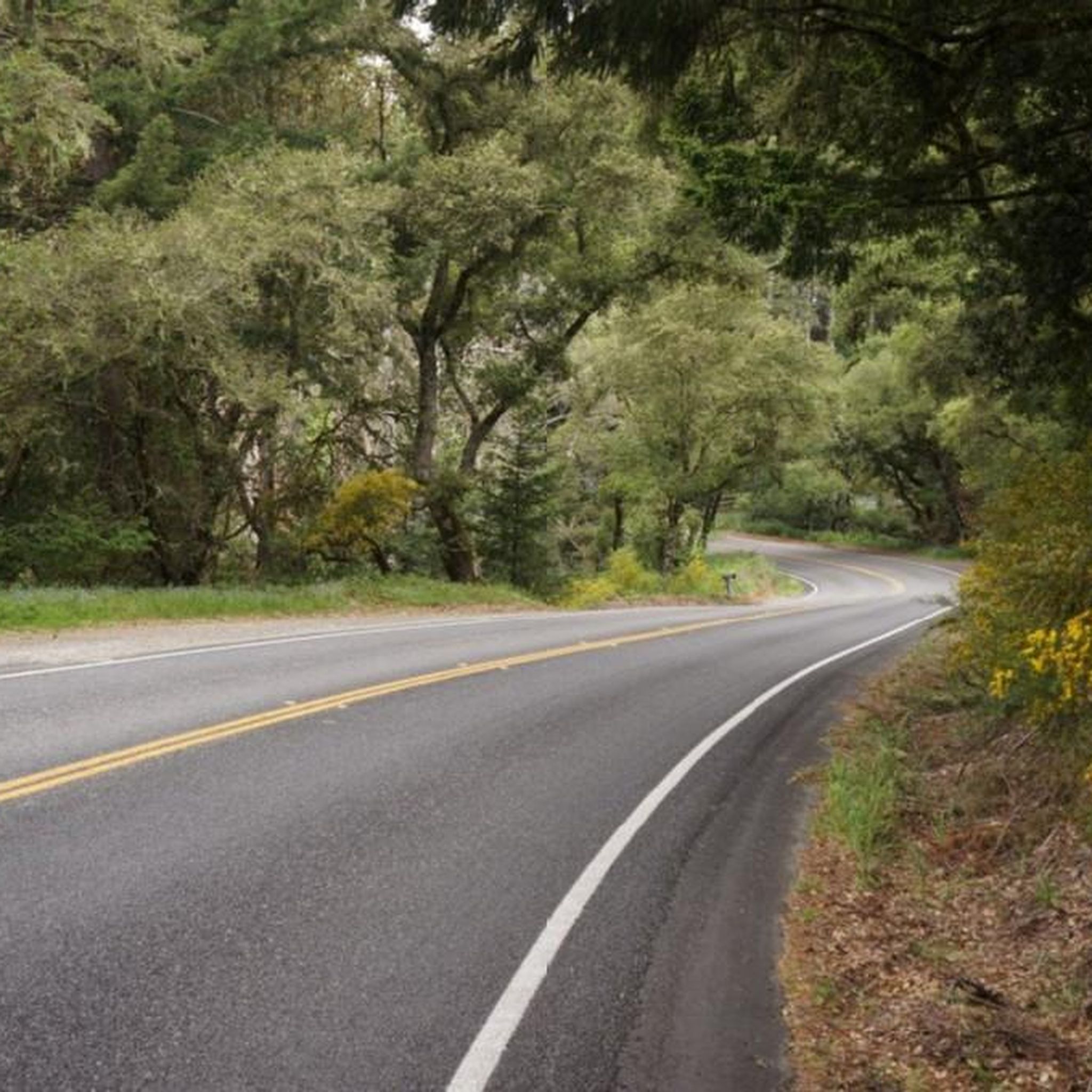
This winding side road is very lightly trafficked and carries you between Stanford and the Palo Alto hills with partial shade the entire way. On the east side of the road you will find Frenchman's Tower, and old brick landmark.
0
0

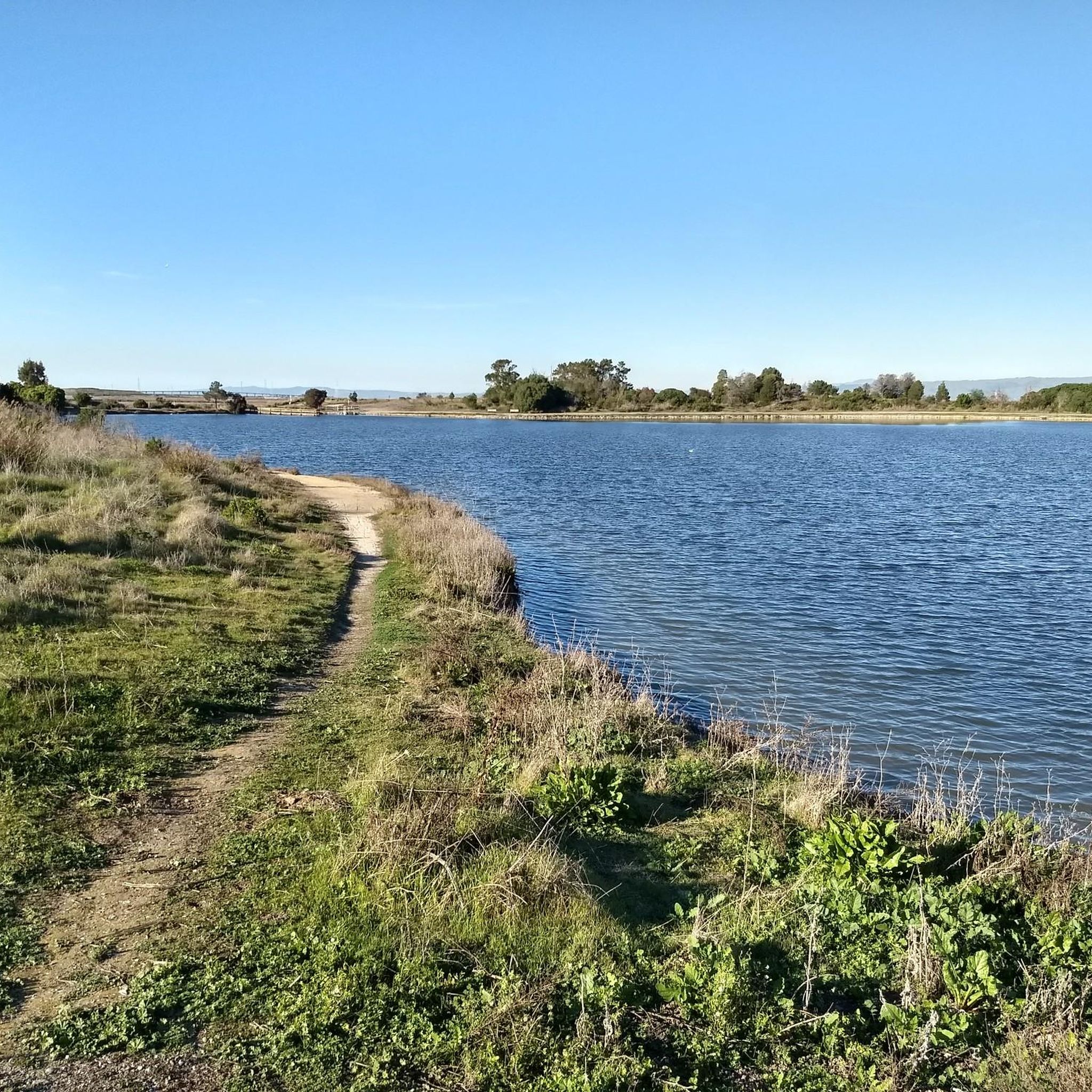
The San Francisco Bay Trail is a flat, paved trail that runs along the border of the bay. It is a great place for a run because it is traffic free and has great views.
0
0

This spot is a fantastic place to view the many American White Pelicans and other birds on the island of Adobe Creek. A lovely bench is here, ideal for taking a quiet break and capturing some beautiful photos.
0
0
Frequently Asked Questions
How many gravel bike trails are available in Los Altos Hills?
Los Altos Hills offers a wide selection of gravel biking routes, with over 40 trails documented on komoot. These routes cater to various skill levels, from easy rides to more challenging ascents.
What kind of terrain can I expect on gravel bike trails in Los Altos Hills?
The terrain in Los Altos Hills is characterized by rolling hills, offering a mix of challenging ascents and descents. Routes often combine paved surfaces with unpaved segments, including native trails that can be particularly challenging in winter. The comprehensive Pathway System connects neighborhoods and open spaces, providing diverse riding conditions.
Are there any easy or beginner-friendly gravel bike trails in Los Altos Hills?
Yes, Los Altos Hills has several easier options. For instance, the San Francisco Bay Trail – San Francisco Bay Trail loop from California Avenue is rated as easy, offering a less strenuous ride. There are 7 easy routes in total, providing a good starting point for beginners.
Where can I find challenging gravel bike routes in Los Altos Hills?
For experienced riders seeking a challenge, Los Altos Hills offers 17 difficult routes. Areas like Page Mill Road, Moody Road, and Altamont Road are frequently mentioned for their demanding climbs and gravel segments. The Juan Bautista de Anza Trail to Wild Rye Trail also provides good climbs with generally non-technical singletrack portions.
Are there any circular gravel bike routes in Los Altos Hills?
Many of the gravel bike trails in Los Altos Hills are designed as loops, allowing you to start and end at the same point. Examples include the popular Arastradero Lake – Bowl Loop Jumps loop from California Avenue and the White Oak Trail – Bella Vista Trail loop from Los Trancos Open Space Preserve.
What are some scenic viewpoints or natural attractions along the gravel bike trails?
Riders can enjoy picturesque vistas reminiscent of the Tuscan countryside. Notable viewpoints and natural attractions include Black Mountain, Windy Hill Summit, and the Byrne Preserve Lookout, all offering breathtaking views of the surrounding hills and valleys.
What do other gravel bikers say about the trails in Los Altos Hills?
The gravel biking routes in Los Altos Hills are highly regarded by the komoot community, with an average rating of 4.6 stars from over 10 reviews. More than 200 gravel bikers have explored the area using komoot, often praising the diverse terrain and scenic landscapes.
Is Los Altos Hills suitable for family-friendly gravel biking?
Yes, Los Altos Hills offers routes suitable for various fitness levels, including some that are less challenging and can be enjoyed by families. The comprehensive Pathway System provides safer, non-vehicular travel options, and some of the easier routes, like those connecting to the San Francisco Bay Trail, offer flatter profiles.
What are the parking options for gravel biking in Los Altos Hills?
Parking is generally available near popular starting points for trails, such as Stevens Creek Reservoir and Arastradero Preserve. Specific parking details can vary by trailhead, so it's advisable to check local signage or park information for your chosen route.
Are there any trails that connect to larger open space areas?
Yes, Los Altos Hills' pathway system provides excellent connectivity to surrounding open space areas, expanding your exploration options. The Stevens Creek Trail, a multi-mile project, also comes close to the area, offering additional cycling facilities and links to other trail systems.
What are the winter conditions like for gravel biking in Los Altos Hills?
While gravel biking is possible year-round, some of the native trails within the Los Altos Hills Pathway System can become particularly challenging in winter due to wet conditions. Riders should be prepared for potentially muddy or slippery surfaces on unpaved segments during the wetter months.
Are there any routes that offer views of the San Francisco Bay?
Absolutely. Routes like the San Francisco Bay Trail – Shoreline Lake loop from San Antonio offer scenic views along the San Francisco Bay, providing a different landscape compared to the inland hills.
Most popular routes around Los Altos Hills
Most popular attractions around Los Altos Hills

Get inspired with the komoot mobile app


Explore more
Browse the best Gravel rides in other regions.
