The best MTB trails around Los Altos Hills
4.6
(108)
1,155
riders
97
rides
Mountain biking around Los Altos Hills offers diverse terrain across rolling hills and extensive trail networks. The region is characterized by lush landscapes, open spaces, and native oak trees, providing a varied environment for outdoor activities. Numerous preserves and open space districts contribute to a wide array of trails, from gentle paths to challenging ascents. This commitment to preserving natural areas ensures a compelling setting for mountain bikers of all skill levels.
Best mountain bike trails around Los Altos Hills
- The most popular mountain bike trail is Beginner Loop – Enid Pearson-Arastradero Preserve, a 6.3 miles (10.1 km) trail that takes about 54 minutes to complete. This easy route winds through the diverse environments of the preserve.
- Another top favourite among local mountain bikers is Indian Creek Trail – White Oak Trail loop from Rancho San Antonio County Park, a difficult 31.7 miles (51.0 km) path. This challenging route features significant elevation changes and varied landscapes.
- Local mountain bikers also love the Stevens Creek Reservoir loop from Creston, a 12.9 miles (20.7 km) trail leading through scenic areas around the reservoir, often completed in about 2 hours.
- Mountain biking around Los Altos Hills is defined by rolling hills, diverse trail systems, and extensive open spaces. The network offers options for different ability levels, from beginner-friendly loops to advanced routes.
- The routes in Los Altos Hills are highly rated by the komoot community with an average score of 4.7 stars from over 100 reviews. More than 900 mountain bikers have used komoot to explore Los Altos Hills's varied terrain.
Last updated: August 18, 2026
4.8
(17)
85
riders
10.1km
00:54
170m
170m
Easy mountain bike ride. Great for any fitness level. Suitable for all skill levels.
4.9
(9)
30
riders
Easy mountain bike ride. Great for any fitness level. Suitable for all skill levels.

Sign up for free
4.7
(7)
29
riders
18.9km
01:32
370m
370m
Moderate mountain bike ride. Good fitness required. Suitable for all skill levels.
18
riders
47.4km
02:51
480m
480m
Moderate mountain bike ride. Good fitness required. Suitable for all skill levels.
4.3
(3)
13
riders
35.4km
02:31
460m
460m
Moderate mountain bike ride. Good fitness required. Suitable for all skill levels.
Get access to more routes and recommendations from other explorers.
Sign up for free
Already have an account?
Our route recommendations are based on thousands of hikes, rides, and runs completed by other people on komoot.
Start today with a free account
Your next adventure awaits.
Login or Signup
Tips from the Community

Enid Pearson-Arastradero Preserve offers rolling grasslands mixed with oak and evergreen trees. The trail system starts on pavement and transitions to packed dirt and gravel—great for bikes with wider tires or a solid gravel setup. Keep an eye out for deer, coyotes, and even bobcats, and take a moment to pause at one of the benches or by Arastradero Lake to enjoy the open views.
0
0

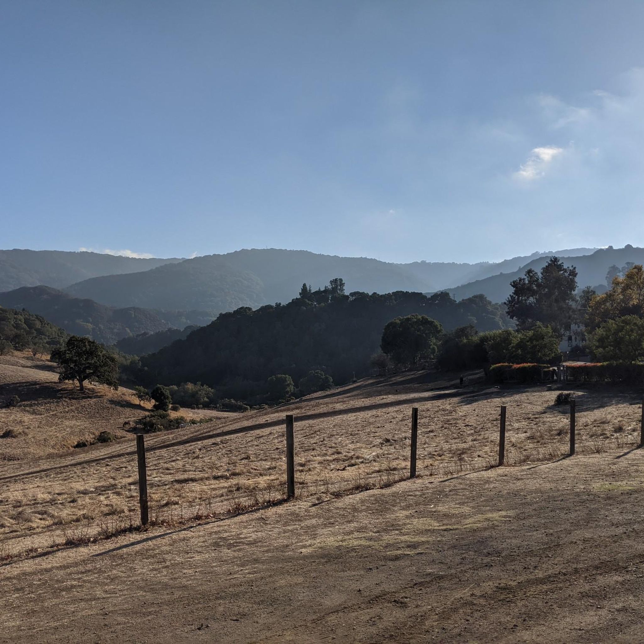
Just right off the picnic bench area lies a viewpoint of the Pearson-Arastradero Preserve. An open meadow offers views of the preserve and surrounding mountains. It's a nice shaded area for a break!
0
0

The Palo Alto-Los Altos Bike and Pedestrian Path, also known as the Hetch Hetchy Trail, is a well-maintained multi-use route that connects Los Altos Avenue to Arastradero Road. It’s popular for biking, running, and hiking, offering scenic views and access to parks like Terman Park, Bol Park, and Barron Park Donkeys. The trail includes a mini library and is part of Henry M. Gunn High School's recommended walking routes.
1
0

Woodside Store was built back in the 1850s by two pioneers who came to California for the gold rush. At the time it was the only stagecoach stop between San Francisco and Santa Clara, and it carried all the essential items that travelers riding between cities might need. The store has been restored, inside and out, to look exactly as it did centuries ago. You can call the museum ahead of your trip to book tours.
0
0

This fantastic tavern, founded in 1852, is the second oldest in the state. It features a large, beer garden-style outdoor area with plenty of shade. An extensive beer and food menu makes it a perfect stop to enjoy a brew and some great food after a ride.
0
0

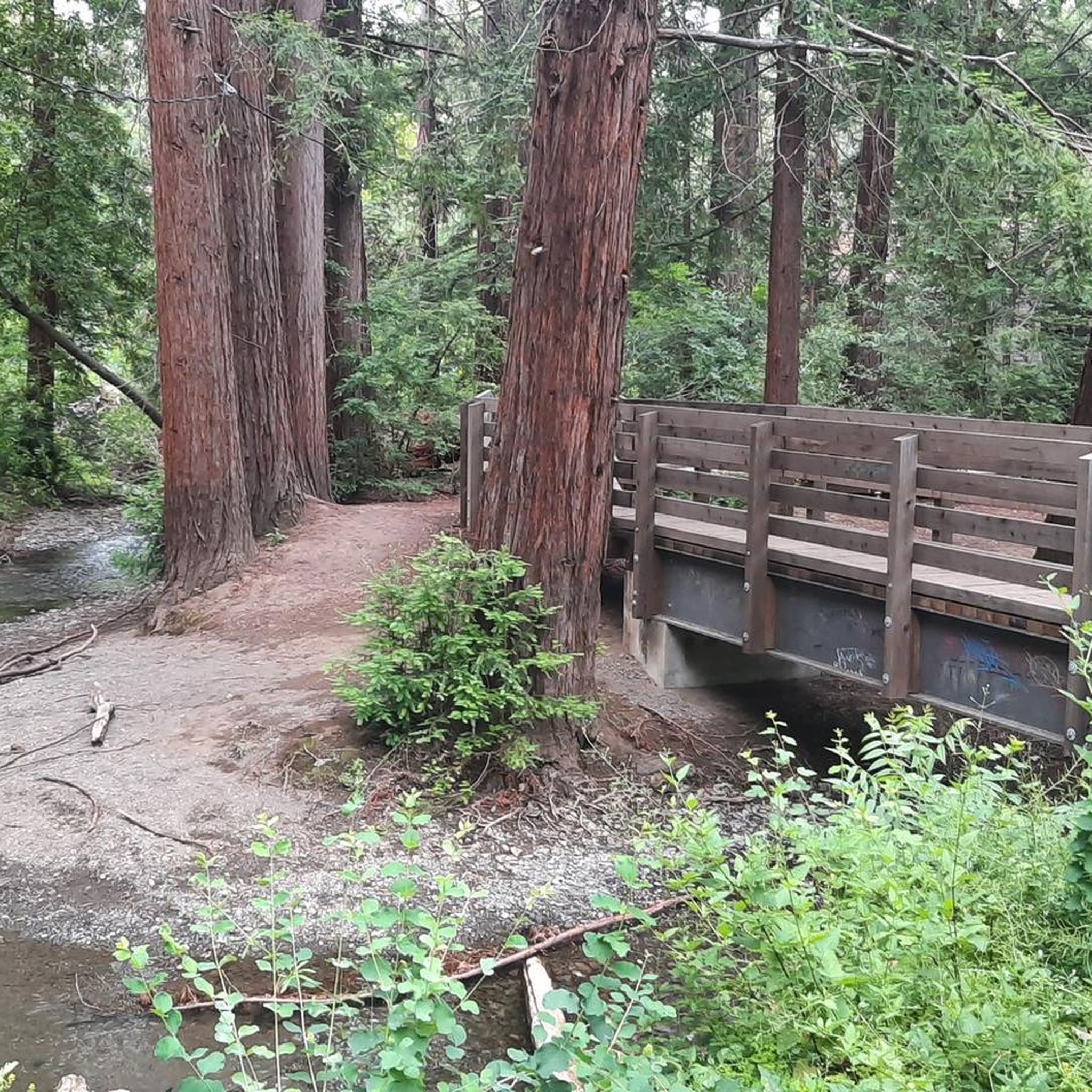
Lovely shortcut from LA to PA. A couple of things to watch out for: 1) near the LA end, the trail crosses a street. It's a cul-de-sac so traffic isn't an issue but the nearly curb shaped 'ramps' are worth noting. Also be careful going over the bridge as sightlines are limited and there could be other users
0
0
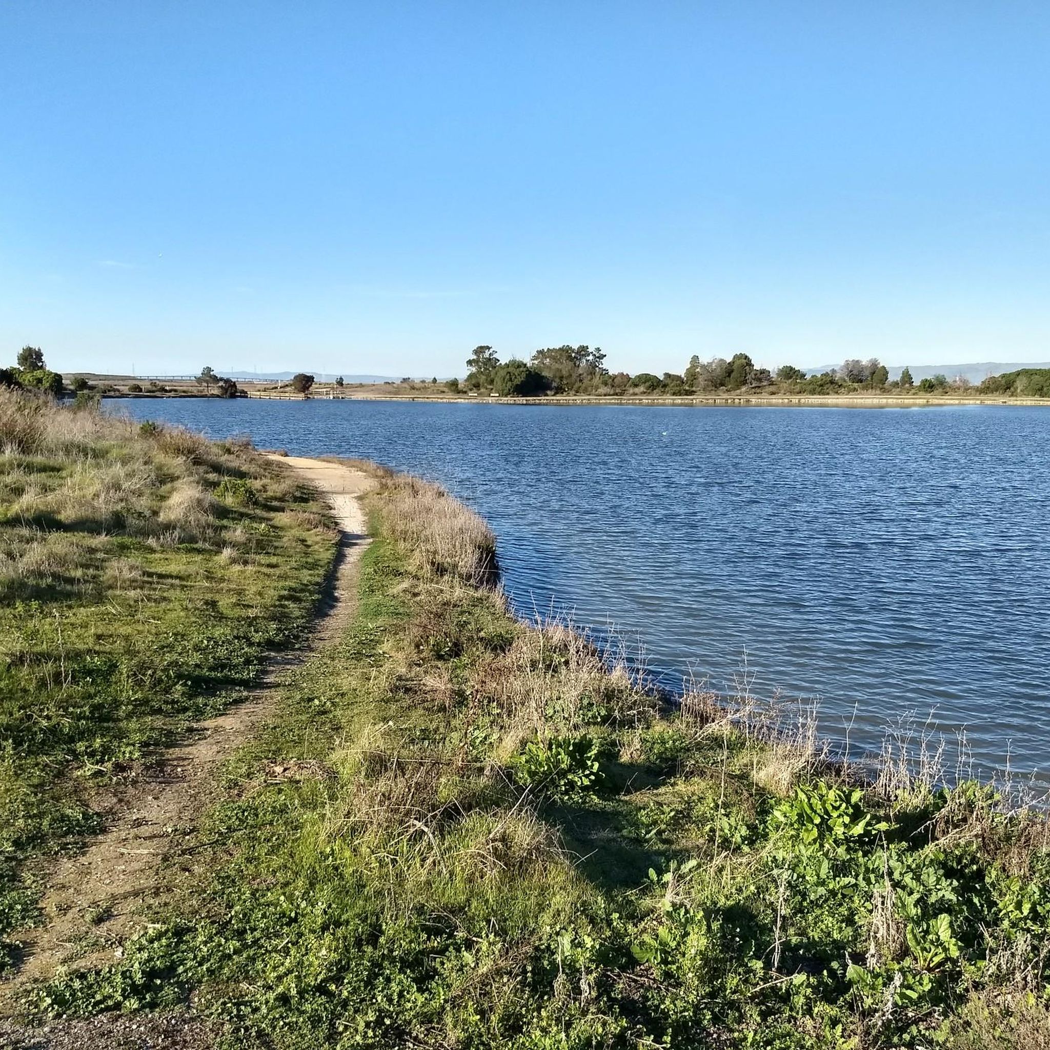
Boronda Lake features a couple scenic picnic areas with piers out over the water. A small arched bridge leads out to Sunfish Island from a trail on the side of the lake opposite the road. This is great place from which to enjoy beautiful Foothills Nature Preserve.
0
0
The Bol Park Path is a 1.25-mile asphalt trail that runs through a quiet Palo Alto neighborhood, connecting Hanover Street and Arastradero Road. It is open to biking, walking, and running, and it is wheelchair accessible. The path passes through Bol Park, a pretty green space along Matadero Creek, and is known for its historical donkey pasture, where two donkeys still greet visitors from a nearby corral. The trail is also popular with students heading to Gunn High School. Trailhead is limited, but spots can be found along Laguna Avenue near the park.
0
0
Frequently Asked Questions
How many mountain bike trails are available in Los Altos Hills?
Los Altos Hills offers a wide selection of mountain bike trails, with nearly 100 routes documented on komoot. These trails cater to various skill levels, including 33 easy, 36 moderate, and 27 difficult options.
Are there beginner-friendly mountain bike trails in Los Altos Hills?
Yes, Los Altos Hills has several beginner-friendly mountain bike trails. A popular choice is the Beginner Loop – Enid Pearson-Arastradero Preserve, which is 6.3 miles (10.1 km) long and winds through diverse environments. Another easy option is the Arastradero Lake – Redtail Loop Trail loop from Los Altos Hills, offering a pleasant 9.8 km ride.
Where can I find challenging mountain bike trails in the Los Altos Hills area?
For experienced riders seeking a challenge, the Los Altos Hills area offers demanding routes. The Indian Creek Trail – White Oak Trail loop from Creston is a difficult 31.6 miles (50.9 km) path featuring significant elevation changes and varied landscapes. The Monte Bello / Rancho San Antonio Preserve also provides over 24 miles of trails, including challenging sections.
Are there mountain bike trails with scenic views in Los Altos Hills?
Absolutely. The rolling hills and lush landscapes of Los Altos Hills provide many scenic routes. Trails around the Stevens Creek Reservoir offer picturesque views. Additionally, the Monte Bello / Rancho San Antonio Preserve is known for stunning vistas of the Santa Cruz Mountains.
What do other mountain bikers say about the trails in Los Altos Hills?
The mountain bike trails in Los Altos Hills are highly regarded by the komoot community, with an average rating of 4.7 stars from over 100 reviews. Riders frequently praise the diverse terrain, well-maintained paths, and the natural beauty of the open spaces and rolling hills.
Are there any loop trails for mountain biking in Los Altos Hills?
Yes, many mountain bike trails in Los Altos Hills are designed as loops, offering a convenient riding experience. Examples include the Beginner Loop – Enid Pearson-Arastradero Preserve and the Stevens Creek Reservoir loop from Creston, which is a moderate 12.8 miles (20.7 km) route.
What natural attractions can I see near the mountain bike trails?
While mountain biking in Los Altos Hills, you can explore several natural attractions. The area features beautiful lakes like Stevens Creek Reservoir and Arastradero Lake. You can also find notable peaks such as Black Mountain and Windy Hill Summit, offering expansive views.
Are there any specific preserves or open spaces known for mountain biking in Los Altos Hills?
Los Altos Hills is surrounded by excellent preserves and open spaces for mountain biking. The Enid Pearson-Arastradero Preserve is popular for its diverse trails. The Monte Bello / Rancho San Antonio Preserve also offers extensive trail networks. Additionally, the Mid-Peninsula Regional Open Space District Lands provide numerous opportunities for outdoor recreation.
Is there parking available at mountain bike trailheads in Los Altos Hills?
Many of the preserves and open spaces in and around Los Altos Hills, such as the Enid Pearson-Arastradero Preserve and Monte Bello / Rancho San Antonio Preserve, offer designated parking areas at their trailheads. It's always a good idea to check specific preserve websites for detailed parking information before your visit.
What is the best time of year to go mountain biking in Los Altos Hills?
Los Altos Hills offers enjoyable mountain biking for much of the year. Spring is particularly beautiful with wildflowers, and the mild temperatures of fall are also ideal. While some off-road paths can be challenging during winter months due to wet conditions, the region's generally temperate climate allows for year-round riding, with summer being warm and dry.
Are there any unique places to explore besides the trails themselves?
Beyond the trails, you can visit Hidden Villa, a 1600-acre wilderness and organic farm that offers unique outdoor experiences focused on environmental education. The town's commitment to open space and large-lot zoning also means you'll encounter a peaceful, natural ambiance throughout the area.
Can I find mountain bike trails that are less crowded in Los Altos Hills?
While popular preserves like Enid Pearson-Arastradero and Monte Bello can see visitors, the extensive network of trails across Los Altos Hills and adjacent Mid-Peninsula Regional Open Space District lands means you can often find quieter routes. Exploring some of the less-trafficked paths within these larger networks or visiting during off-peak hours can lead to a more solitary experience.
Most popular routes around Los Altos Hills
Most popular attractions around Los Altos Hills

Get inspired with the komoot mobile app


Explore more
Browse the best MTB trails in other regions.
