The best walks and hikes around Los Altos Hills
4.6
(382)
5,888
hikers
39
hikes
Hikes around Los Altos Hills navigate a landscape of rolling hills, open space preserves, and wooded valleys. The region is characterized by its extensive network of trails that wind through oak woodlands and along creek beds. The terrain offers a mix of shaded paths and exposed hillsides with views across the surrounding area.
Best hiking trails around Los Altos Hills
- The most popular hiking route is Adobe Creek Trail — Hidden Villa, a 7.4 mile (11.9 km) trail that…
Last updated: August 18, 2026
5.0
(1)
13
hikers
9.88km
02:55
260m
290m
This moderate 6.1-mile loop in Hidden Villa offers diverse terrain, panoramic Bay Area views, and passes by an organic farm.
9
hikers
16.3km
05:08
700m
530m
This difficult 10.1-mile loop hike offers challenging climbs, diverse terrain, and panoramic views from Black Mountain summit.

Sign up for free
5.0
(1)
3
hikers
9.13km
02:35
180m
250m
Embark on a journey through the Los Altos Hills with the Broken House Path, Deer Creek Trail, and Los Altos Loop hiking route. This moderate 5.7-mile (9.1 km) trail offers…
2.47km
00:46
90m
90m
Hike the easy 1.5-mile Matadero and Page Mill Loop in Los Altos Hills, offering scenic views of the San Francisco Bay and wildflowers.
4.8
(9)
22
hikers
11.9km
03:43
460m
460m
The Adobe Creek Trail offers a delightful escape into the protected bayside marshlands of Palo Alto, California. As you hike, you'll be treated to continuous scenic vistas of salt marshes…
Get access to more routes and recommendations from other explorers.
Sign up for free
Already have an account?
Our route recommendations are based on thousands of hikes, rides, and runs completed by other people on komoot.
Start today with a free account
Your next adventure awaits.
Login or Signup
Tips from the Community

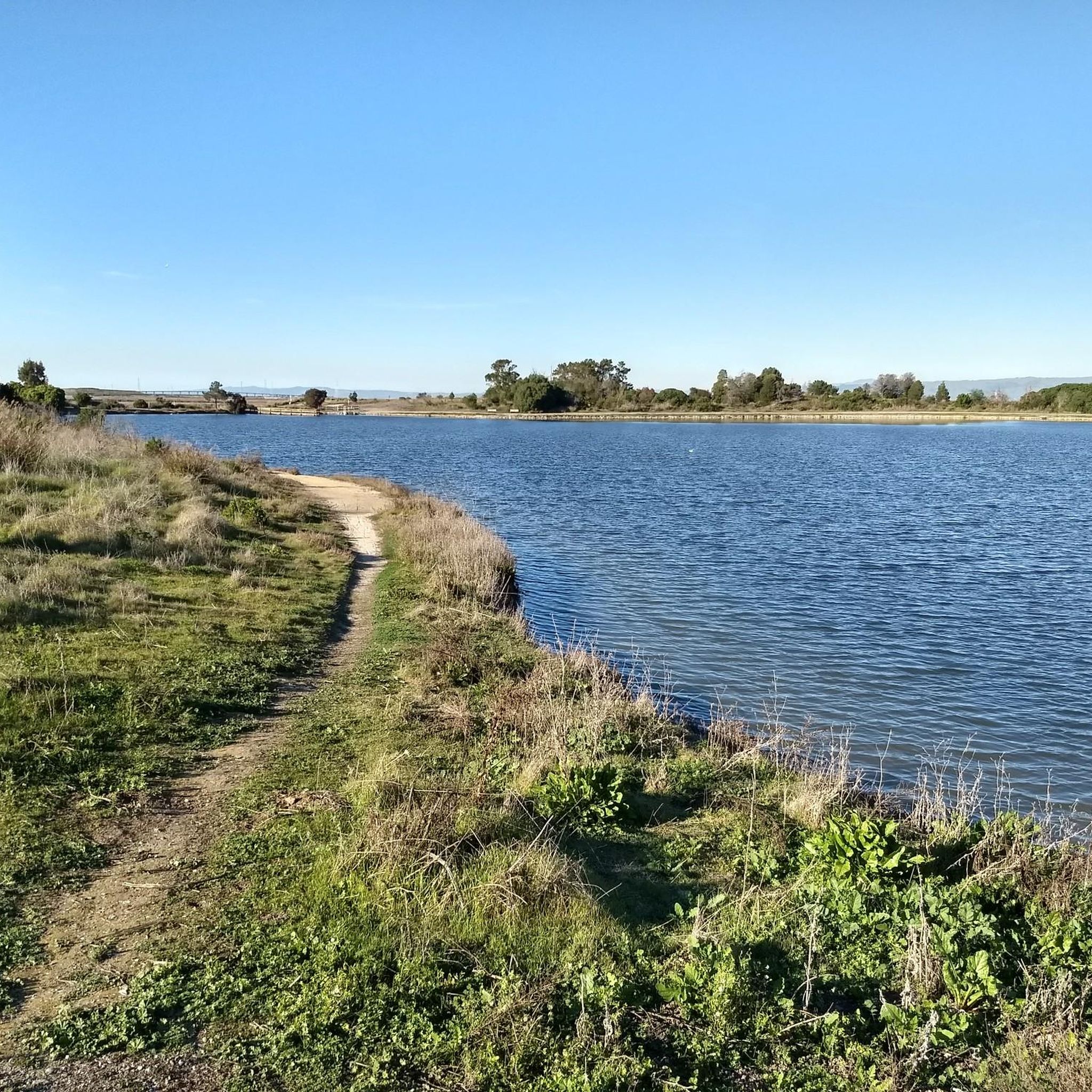
This is a fantastic trail that runs through California oak woodlands and chaparral. It climbs Elephant Mountain, offering scenic views of the San Francisco Bay Area before descending toward Adobe Creek. Popular for birdwatching and quiet reflection, the route connects to other trails for some great loop options or a longer extended hike to explore this beautiful area.
0
0

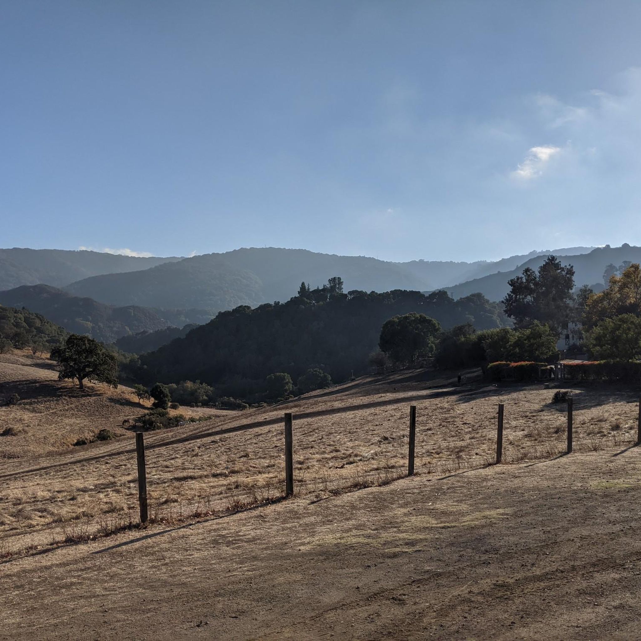
This 55-acre preserve is one of the best places for hiking in Los Altos Hills, with multiple paths to combine into shorter or longer walks. It's not uncommon to see horses grazing in the grasslands of the preserve.
0
0

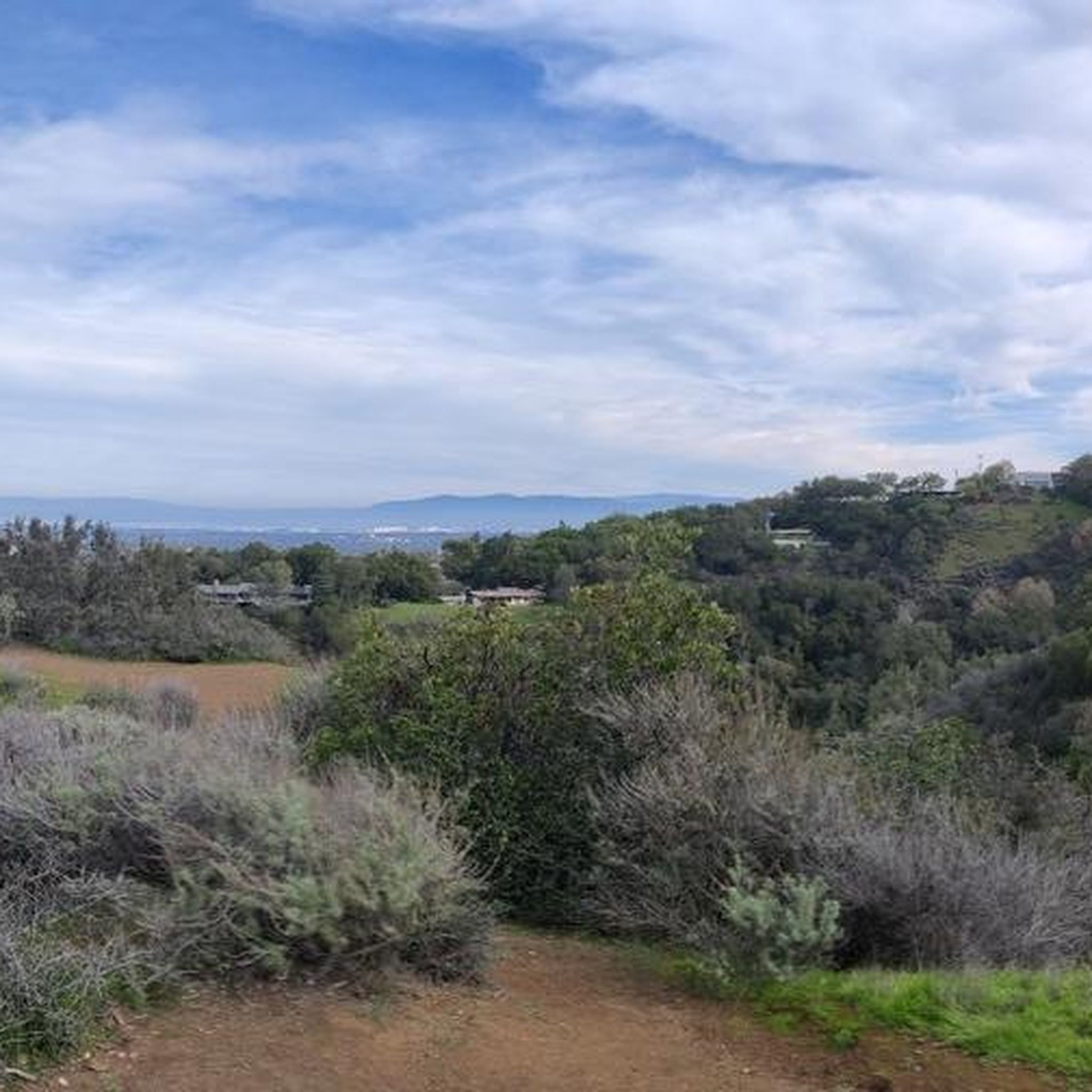
A log bench and a stone engraved memorial with a lookout over the surrounding natural area.
0
0

Hidden Villa deserves an extended visit: This organic farm is a precursor.Its creation dates back to 1924. The place is also important both historically and educationally. It was the first place in the United States to offer a multicultural program for American children. The path passes nearby, Take a break at the farm. www.hiddenvilla.org
0
0
In the mountains of Hidden Villa, you are far from the city, and yet geographically the city of men is very close.
0
0
Frequently Asked Questions
Are there any easy, family-friendly hikes in Los Altos Hills?
Yes, the area is great for families. The Los Altos Hills & Redwood Grove Nature Preserve walk is an excellent choice, offering a short, shaded path through a beautiful redwood grove. Another popular spot is Hidden Villa, which has gentle trails and an educational farm with animals that children enjoy.
Can I bring my dog on the trails in Los Altos Hills?
Dog policies vary by preserve, so it's important to check before you go. Many trails in Rancho San Antonio County Park and Open Space Preserve allow dogs on-leash in designated areas. However, other popular spots like Hidden Villa and Foothills Nature Preserve generally do not permit dogs to protect wildlife and the farm environment.
Which trails offer the best views of the surrounding area?
For panoramic views, Windy Hill Open Space Preserve is a local favorite, offering vistas that stretch across the valley to the ocean on clear days. Trails within Monte Bello Open Space Preserve also climb to high points with rewarding views of the Santa Clara Valley.
Are there any circular or loop hikes available?
Many trails in the area are designed as loops. The Byrne Preserve loop to Los Altos Hidden Villa Farm is a great moderate option that takes you through varied terrain. Most of the major preserves, like Rancho San Antonio and Foothills Nature Preserve, feature multiple interconnected trails that allow you to create loops of different lengths.
What are the most popular places to hike around Los Altos Hills?
Locals and visitors enjoy several key areas for hiking:
- Rancho San Antonio County Park and Open Space Preserve: A large, popular preserve known for its diverse network of trails ranging from flat paths to challenging climbs.
- Foothills Nature Preserve: A serene park featuring trails that wind through woodlands and around the picturesque Boronda Lake.
- Hidden Villa: Valued for its scenic trails and unique combination of hiking with an educational farm.
- Monte Bello Open Space Preserve: Highly regarded for its expansive views and trails that traverse open grasslands and oak forests.
What is the terrain like on the hiking trails?
The landscape is defined by rolling hills, so expect a mix of gentle slopes and steeper climbs. Many trails wind through oak woodlands, providing intermittent shade, while others cross open grasslands with more sun exposure. You'll also find several paths that follow the courses of local creeks, offering a flatter, more sheltered experience.
How many hiking trails are there in the Los Altos Hills area?
There are over 35 designated hiking routes in and around Los Altos Hills on Komoot. These range from short, easy walks suitable for all fitness levels to more strenuous, all-day hikes with significant elevation gain.
What kind of wildlife might I see while hiking?
The open space preserves are rich in wildlife. It's common to see deer, especially around dawn and dusk in places like Monte Bello Open Space Preserve. The area's diverse habitats also support a variety of bird species, coyotes, and smaller mammals. The creeks and riparian corridors are particularly good spots for nature observation.
Are there any particularly challenging hikes in the region?
Yes, for those seeking a challenge, the Black Mountain Trail in Rancho San Antonio Preserve is a strenuous option. It involves a significant amount of elevation gain to reach the summit but rewards hikers with panoramic views of the Bay Area.
Do I need to pay for parking or entry at the trailheads?
It depends on the location. Most preserves like Rancho San Antonio offer free parking, though lots can fill up quickly on weekends. Foothills Nature Preserve requires a vehicle entry fee, which helps maintain the park's facilities and trails. Always check the specific regulations for the park you plan to visit.
What do other hikers enjoy most about the trails in Los Altos Hills?
The area is well-regarded by the Komoot community. Reviewers frequently praise the well-maintained trail systems, the beautiful rolling hills, and the mix of shaded woodlands and open vistas. The accessibility of serene nature so close to the urban centers of Silicon Valley is a consistently highlighted feature.
Most popular routes around Los Altos Hills
Most popular attractions around Los Altos Hills

Get inspired with the komoot mobile app


Explore more
Browse the best Hikes in other regions.
