The best gravel rides in Los Padres National Forest
92
riders
19
rides
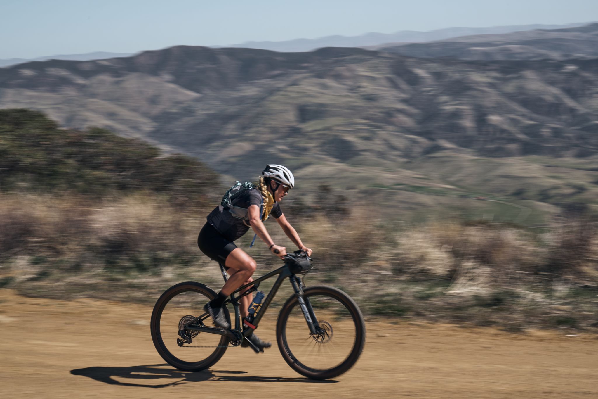
Gravel biking in Los Padres National Forest offers routes through a diverse landscape of mountains, canyons, and chaparral-covered hills. The region is characterized by varied elevations, ranging from coastal areas to higher mountain peaks, providing a range of gradients for gravel cyclists. Trails often traverse remote, unpaved roads and fire trails, with sections of both exposed terrain and shaded forest. The geology includes sedimentary rock formations and alluvial plains, influencing the surface conditions of many gravel bike trails.
Best gravel bike trails in Los Padres National Forest
- The most popular gravel bike trail is Pozo Gravel Adventure, a 57.0 miles (91.8 km) trail that takes 9 hours 46 minutes to complete. This difficult route explores extensive backcountry roads.
- Another top favourite among local gravel bikers is Romero Canyon Loop, a difficult 8.9 miles (14.3 km) path. This loop features significant elevation gain within a shorter distance, traversing canyon terrain.
- Local gravel bikers also love the Los Burros and South Coast Ridge Road Loop, a 26.5 miles (42.7 km) trail leading through mountainous and ridge-line landscapes, often completed in about 5 hours 8 minutes.
- Gravel biking in Los Padres National Forest is defined by remote fire roads, challenging climbs, and diverse natural environments. The network offers options for experienced gravel bikers seeking difficult, long-distance routes.
- The routes in Los Padres National Forest are highly rated by the komoot community with an average score of 5.0 stars from over 1 review. More than 100 gravel bikers have used komoot to explore Los Padres National Forest's varied terrain.
Last updated: July 7, 2026
91.8km
09:46
1,990m
2,000m
The Pozo Gravel Adventure is a challenging gravel biking route that plunges you into the remote beauty of the Los Padres National Forest, offering a true test of endurance and skill. You'll navigate a diverse landscape of gravel and dirt roads, interspersed with technical, rocky sections and even some rough chip seal. From the historic Pozo Saloon, the route climbs through rolling countryside, revealing expansive vistas from high points like Pozo Summit and Panza Summit, with pine-adorned mountaintops and distant ocean views.
This difficult 57.0-mile (91.8 km) adventure, with its 6542 feet (1994 metres) of elevation gain, typically takes around 9 hours and 45 minutes to complete. It's best tackled by advanced riders with excellent fitness, especially outside of the hot summer months; spring and fall offer ideal conditions. Be prepared for a long day in a remote area, and consider wider tires, like 47mm, to handle the varied and often rugged terrain.
What makes this route truly notable is its blend of demanding climbs, technical descents, and the sense of remote adventure it provides within the Santa Margarita backcountry. It's a comprehensive gravel biking experience that will push your limits, rewarding you with stunning natural beauty and a deep immersion in the wilderness, far from crowded trails.
14.3km
02:07
710m
710m
Challenge yourself on the difficult Romero Canyon Loop, a 8.9-mile gravel biking route with 2329 feet of elevation gain and ocean views.

Sign up for free
42.7km
05:07
1,520m
1,510m
This difficult 26.5-mile gravel biking loop in Silver Peak Wilderness offers panoramic Big Sur coastal views and challenging climbs.
8
riders
29.7km
03:05
810m
810m
Experience the challenging Old Coast Road Loop, a 18.5-mile gravel biking route with stunning ocean views and redwood forests.
10
riders
97.0km
07:45
2,480m
2,480m
Hard gravel ride. Very good fitness required. Mostly paved surfaces. Suitable for all skill levels.
Get access to more routes and recommendations from other explorers.
Sign up for free
Already have an account?
Our route recommendations are based on thousands of hikes, rides, and runs completed by other people on komoot.
Start today with a free account
Your next adventure awaits.
Login or Signup
Popular around Los Padres National Forest

California Coastal Trail — Following the coastline from Mexico to Oregon
Los Padres Traverse — mountains to sea on the Sierra Madre Road
Hiking in Los Padres National Forest
MTB Trails in Los Padres National Forest
Running Trails in Los Padres National Forest
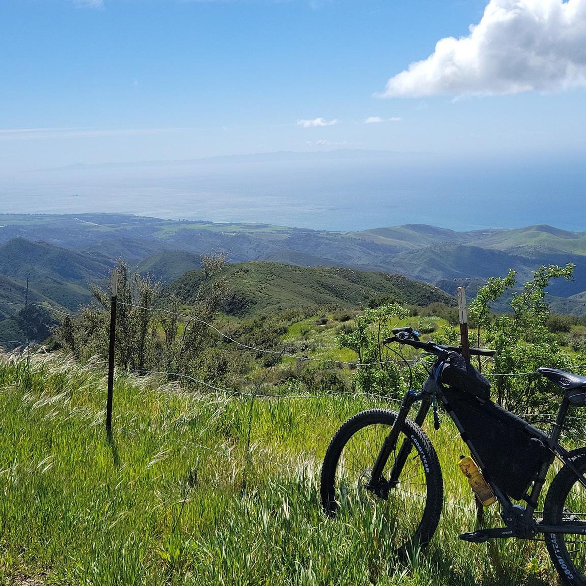
Cycling in Los Padres National Forest
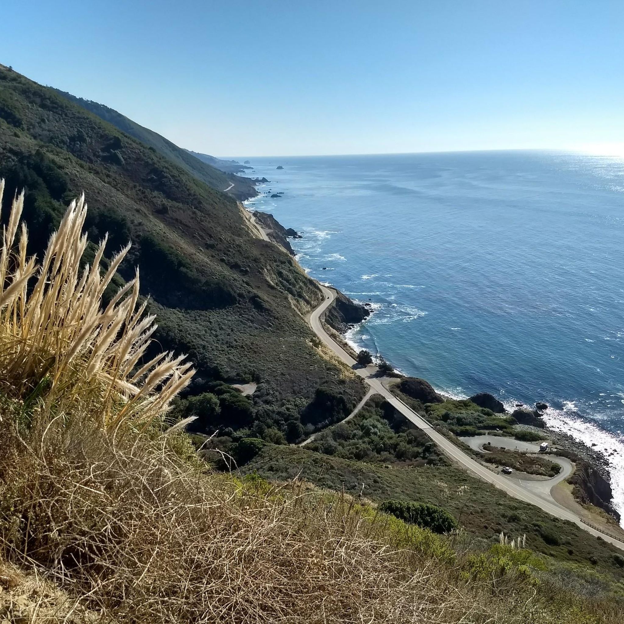
Road Cycling Routes in Los Padres National Forest


Tips from the Community

This is an especially scenic section of the Cabrillo Highway, which is a section of the famous Pacific Coast Highway.
0
0
The Salmon Creek Waterfall is a small, but scenic waterfall. To access it, you need to take a short detour off the Salmon Creek Trail.
0
0

This popular multi-use trail for hikers, runners, and cyclists is a former wide fire road that narrows into a singletrack due to overgrowth. It is a more advanced gravel ride with a smooth climb. Riders must use a bell, which is available for free at bell boxes in the parking area. The trail is a mix of dirt and occasional loose gravel. Riders must use a bell, which is available for free at bell boxes in the parking area.
0
0

The Old Coast Road is a historic dirt path that was the main route between Monterey and Big Sur before Highway 1 was built in the 1930s. It is wide and easy to navigate, with two significant 1,000-foot ascents. Initially established by the Rumsen and Esselen Native Americans, this route provided access to present-day Monterey County's coast. Today, the Old Coast Road is part of the 90-mile stretch of Highway 1 that runs from Carmel to San Simeon and is included in the Big Sur International Marathon route, organized by Runner's World editors.
0
0
This is an excellent, less crowded vantage point of the Bixby Bridge, with the stunning Pacific Ocean in the background. There is a small pull-out here, making it an ideal spot to capture a few obstructed and memorable photos.
0
0
Nice view over Los Padres National Forest. The climb up to the peak is challenging, but it is worth the effort for the great vistas.
1
0

California State Route 1 is a beautiful route on the west coast of the USA. The Bixby Bridge is located between Monterey and Los Angeles and is one of the special highlights.
0
0

A small parking lot on the side of the highway grants views across Bixby Bridge. This bridge is part of California's first scenic highway and was completed in 1932. Its concrete arches match the colors of the coastal cliffs to form an iconic Californian landmark.
0
0
Frequently Asked Questions
How many gravel bike trails are available in Los Padres National Forest?
Los Padres National Forest offers over 20 gravel bike routes on komoot. The majority of these are categorized as difficult, providing challenging rides through varied terrain.
Are there beginner-friendly gravel bike trails in Los Padres National Forest?
The gravel biking routes in Los Padres National Forest are predominantly challenging, with most categorized as difficult. There are very few routes considered easy or moderate, making it more suitable for experienced gravel bikers seeking demanding climbs and longer distances.
What are some challenging gravel bike routes for experienced riders?
For experienced riders seeking a challenge, consider the Old Coast Road Loop. This difficult route covers nearly 30 miles (48 km) with significant elevation gain, offering a demanding ride through scenic landscapes.
Are there any loop gravel bike trails in Los Padres National Forest?
Yes, there are several excellent loop options for gravel biking. The Old Coast Road Loop is a popular choice, offering a substantial ride. Another option is the Romero Canyon Loop, which provides a shorter but still challenging experience with notable elevation gain.
What is the typical length of gravel bike trails in Los Padres National Forest?
Gravel bike trails in Los Padres National Forest vary significantly in length. You'll find routes ranging from shorter, intense loops around 9 miles (14 km) to extensive backcountry adventures exceeding 50 miles (80 km), catering to different endurance levels.
What scenic viewpoints or natural attractions can I find along gravel bike routes?
Many routes offer stunning views and access to natural attractions. You might encounter highlights like La Cumbre Peak, offering panoramic vistas, or the serene Montecito Hot Springs. The region also features areas like Redwood Grove for a change of scenery.
Are permits required for gravel biking in Los Padres National Forest?
Generally, no specific permits are required for day-use gravel biking on most trails within Los Padres National Forest. However, an Adventure Pass may be needed for parking at certain developed recreation sites. It's always advisable to check the official U.S. Forest Service website for the latest regulations before your ride.
Is Los Padres National Forest suitable for dog-friendly gravel biking?
Los Padres National Forest generally allows dogs on trails, but they must be on a leash. Always check specific trail regulations before heading out, as some areas or wilderness sections may have restrictions. Ensure your dog is accustomed to longer rides and the varied terrain.
What is the best time of year for gravel biking in Los Padres National Forest?
The best time for gravel biking is typically during the spring and fall when temperatures are milder. Summers can be very hot, especially in inland areas, while winters can bring rain and cooler temperatures, potentially affecting trail conditions. Always check weather forecasts and trail conditions before your ride.
What do other gravel bikers enjoy the most about gravel biking in Los Padres National Forest?
The komoot community highly rates the gravel biking experience in Los Padres National Forest, with an average score of 5.0 stars. Riders often praise the remote fire roads, challenging climbs, and the diverse natural environments that define the region's routes.
Are there any specific considerations for parking when gravel biking in Los Padres National Forest?
Parking availability varies by trailhead. Some popular trailheads may have designated parking areas, while others might require roadside parking. As mentioned, an Adventure Pass may be necessary for parking at certain developed recreation sites, so it's good practice to check local regulations beforehand.
What kind of terrain can I expect on gravel bike trails in Los Padres National Forest?
You can expect a diverse range of terrain, from unpaved roads and fire trails to sections with sedimentary rock formations and alluvial plains. The routes often feature significant elevation changes, traversing mountains, canyons, and chaparral-covered hills, providing a true gravel biking challenge.
Most popular routes in Los Padres National Forest
Most popular attractions in Los Padres National Forest

Get inspired with the komoot mobile app


Explore more
Browse the best Gravel rides in other regions.
