The best cycling routes in Los Padres National Forest
4.8
(146)
4,119
riders
286
rides
Touring cycling in Los Padres National Forest offers routes through a vast 1.7 million-acre landscape across California's Central Coast. The region features diverse ecosystems, including rugged mountains, ancient forests, and dramatic coastal areas. Elevations reach nearly 9,000 feet, encompassing chaparral, oak woodlands, and pine forests. This varied terrain provides a range of touring cycling experiences, from scenic byways to challenging mountain climbs.
Best touring cycling routes in Los Padres National Forest
- The most popular touring cycling route is Mount Pinos…
Last updated: May 27, 2026
18
riders
27.2km
02:04
720m
720m
Hard bike ride. Very good fitness required. Mostly paved surfaces. Suitable for all skill levels.
5.0
(1)
5
riders
27.1km
01:39
230m
230m
Moderate bike ride. Good fitness required. Mostly paved surfaces. Suitable for all skill levels.

Sign up for free
6
riders
25.6km
03:06
1,150m
1,150m
Hard bike ride. Very good fitness required. Mostly paved surfaces. Suitable for all skill levels.
41
riders
66.9km
04:54
1,380m
1,390m
Hard bike ride. Very good fitness required. Mostly paved surfaces. Suitable for all skill levels.
5.0
(2)
35
riders
36.1km
02:17
450m
450m
Moderate bike ride. Good fitness required. Mostly paved surfaces. Suitable for all skill levels.
Get access to more routes and recommendations from other explorers.
Sign up for free
Already have an account?
Our route recommendations are based on thousands of hikes, rides, and runs completed by other people on komoot.
Start today with a free account
Your next adventure awaits.
Login or Signup
Popular around Los Padres National Forest

California Coastal Trail — Following the coastline from Mexico to Oregon
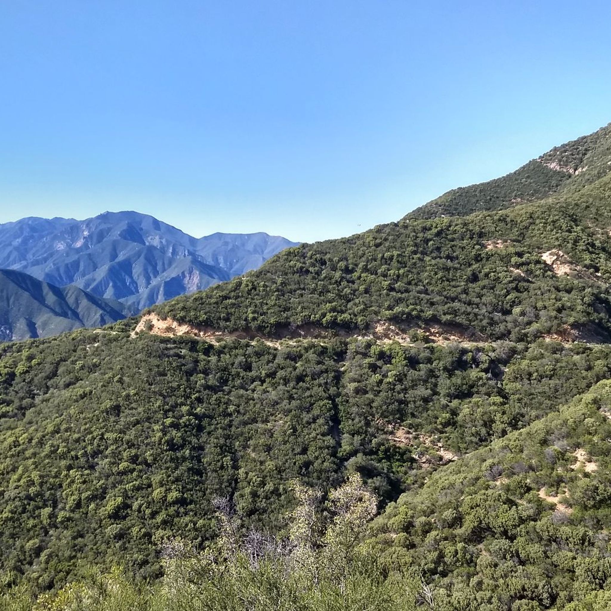
Los Padres Traverse — mountains to sea on the Sierra Madre Road
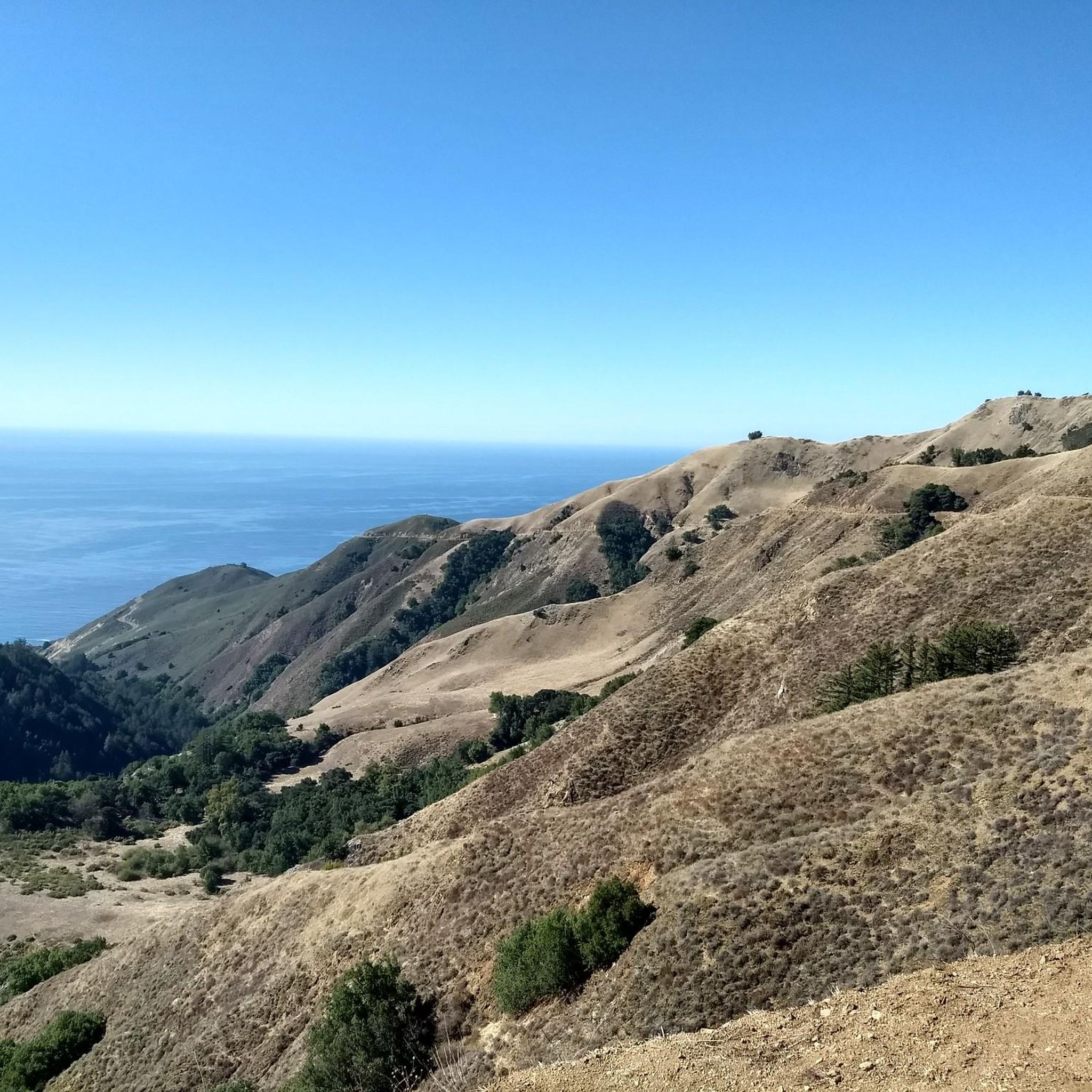
Hiking in Los Padres National Forest
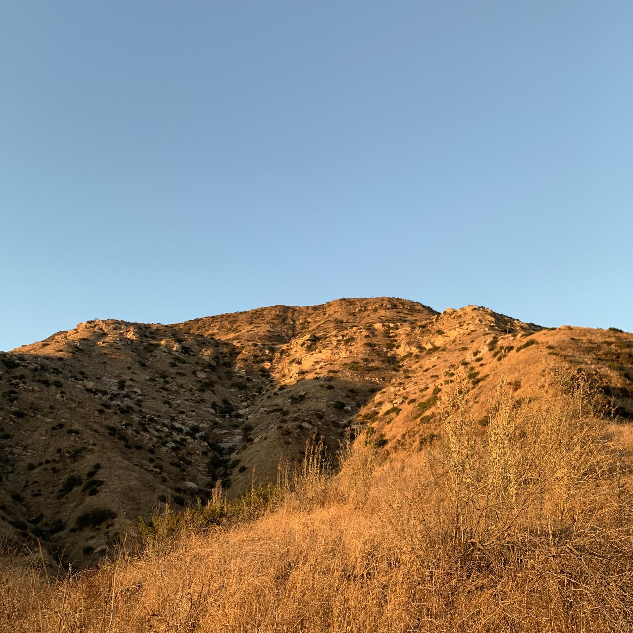
MTB Trails in Los Padres National Forest
Running Trails in Los Padres National Forest
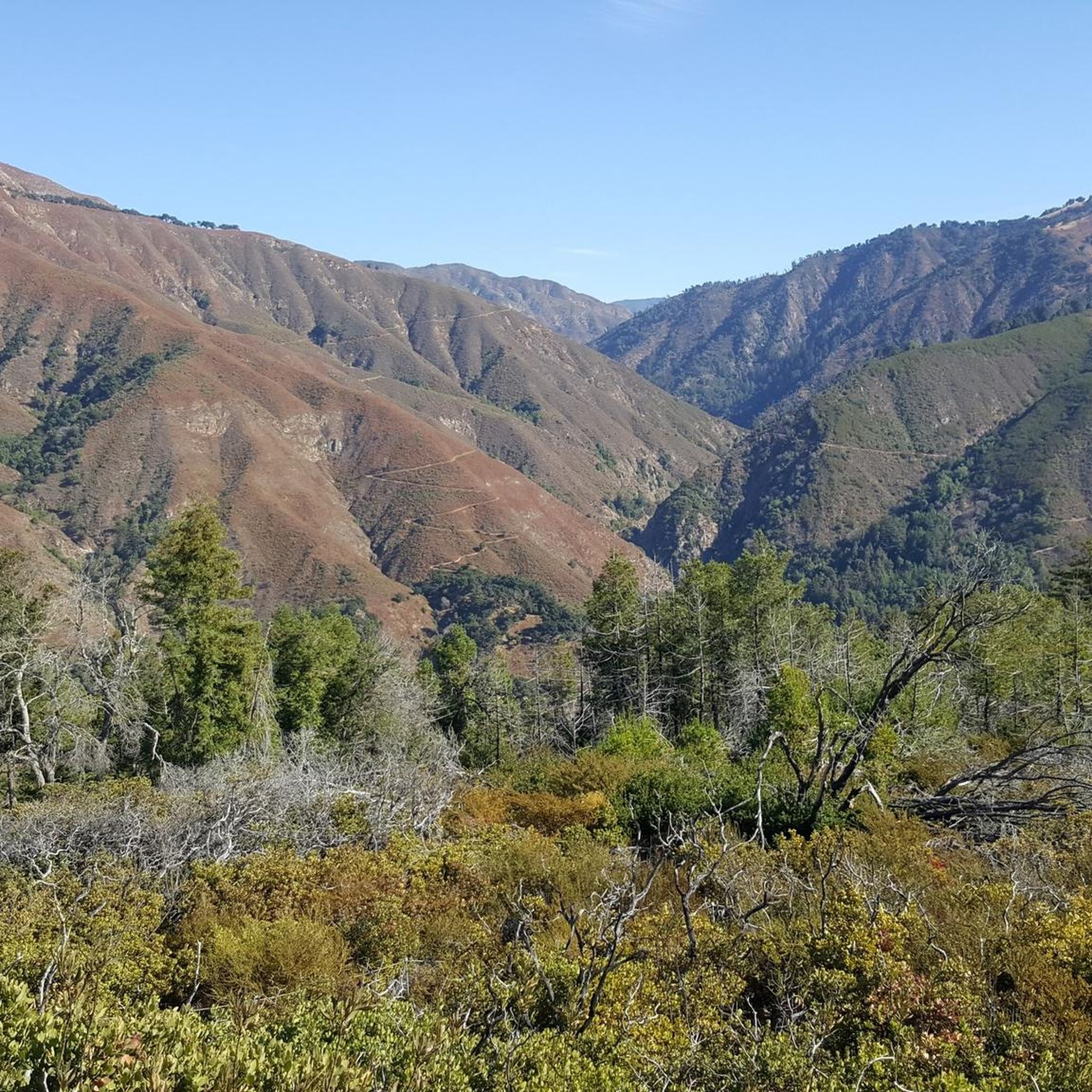
Gravel biking in Los Padres National Forest
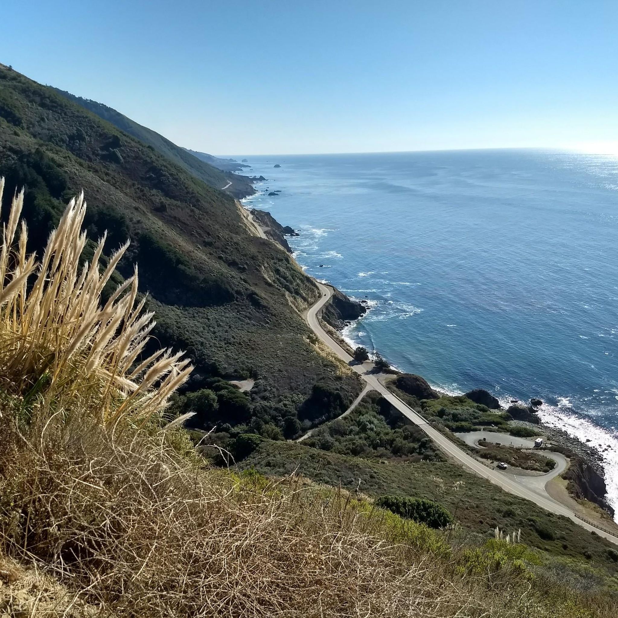
Road Cycling Routes in Los Padres National Forest


Tips from the Community

This is what camping along the coast is all about! Great views and easy access to the shoreline. The camp hosts are very helpful and can usually get you in to one of the first-come, first-served sites if you don't have a reservation. However, if you'd like the peace of mind that comes with a sure thing you can make reservations here: www.recreation.gov/camping/campgrounds/233116
0
0

It is a nice cabin, clean, quiet. No food options except breakfast of hard boiled eggs, breads and juices.
0
0

This is an epic road to ride on. By no means an easy one, but the sweeping views of the San Rafael Wilderness Area make up for the effort.
0
0

Lucia Lodge is a picturesque family-owned historic resort perched on a cliff along the Big Sur coast, boasting some of the most stunning views of the California Central Coast. The Lucia store was established in 1937, coinciding with the opening of Highway 1. A fire destroyed the restaurant and store in August 2021; however, the lodge, located just 100 yards to the north, continues to operate and is a fantastic place to stay if you're looking for a place to treat yourself and relax during an extensive adventure along the incredible coastline.
0
0
Ranger Peak stands at 1,376 meters and boasts beautiful bright green slopes adorned with wildflowers surrounded by open meadows and scattered oak trees. There is a trail leading to the summit on the south side, accessible from Figueroa Road. If you're seeking an extended adventure, the view of Figueroa Mountain and beyond from the top is truly incredible.
0
0

This state park has four excellent things going for it: Stunning views of Monterey Bay National Marine Sanctuary and the Big Sur coastline; stately redwood forests; interesting old lime kilns, which were used to burn limestone to render quicklime... and miles of paved trails you can bike on.
0
0
It's narrow, steep, and full of curves. Generally this means a lot of work and not much fun. However, the views are excellent and the smile you'll get on the downhill make it all worthwhile.
0
0
This is the end of the paved road but you can continue on a fire road to the summit of Mt Pinos. There's also hiking trails accessible if you want to leave your bike at the nordic center and stretch your legs a bit. I'd recommend continuing to the summit if you have time as there is a nearby Condor observation area where you might catch a glimpse of the majestic California Condor, North Americas largest land based bird.
0
0
Frequently Asked Questions
How many touring cycling routes are available in Los Padres National Forest?
Los Padres National Forest offers over 280 touring cycling routes. These include a diverse range of options, with approximately 99 easy, 99 moderate, and 87 difficult routes, catering to various skill levels and preferences.
What kind of landscapes and natural features can I expect to see while touring cycling in Los Padres National Forest?
The forest boasts a rich tapestry of landscapes, from rugged mountains and ancient forests to dramatic coastal areas. You'll encounter diverse ecosystems such as sandstone canyons, towering peaks, chaparral, oak woodlands, and pine forests. Notable features include the Santa Ynez Mountains with Pacific coastline views, the majestic Santa Lucia Mountains along the Big Sur Coastline, and unique geological formations like the Cuyama Badlands and Piedra Blanca Formations.
Are there any challenging touring cycling routes for experienced riders?
Yes, Los Padres National Forest offers several challenging routes. For instance, the Mount Pinos Road climb is a difficult 16.9-mile route known for its diverse scenery and significant elevation gains. Another demanding option is the Gridley-Pratt Trail Loop, a 15.9-mile difficult route near Ojai with stunning views of the Ojai Valley and Nordhoff Peak.
What are some scenic byways suitable for touring cyclists in the region?
Los Padres National Forest features several scenic byways ideal for touring cycling. The Jacinto Reyes National Scenic Byway (Highway 33) is a 38-mile segment offering spectacular vistas, cliffs, rock formations, and lush riparian areas. Another stunning option is El Camino Cielo, or 'Trail to the Sky,' which winds through the Santa Ynez Mountains, providing panoramic views 4,000 feet above Santa Barbara.
Are there any circular touring cycling routes in Los Padres National Forest?
Yes, there are several circular routes available. The Baldwin Road loop in Ojai is a moderate 16.9-mile path featuring diverse terrain, orange groves, and views of the Ventura River Preserve, with mostly paved surfaces. Another option is the Blackjack Winery – Figueroa Mountain Road loop, a difficult 66.9-kilometer route offering varied terrain including vineyards.
What interesting landmarks or natural attractions can I find along the touring cycling routes?
Along your touring cycling routes, you can explore various natural and geological wonders. Consider visiting the Wheeler Gorge Tunnels and Bridge, or the scenic East Camino Cielo paved section for breathtaking views. The forest also features dramatic mountain passes like Nacimiento-Fergusson Road — Big Sur, offering stunning coastal vistas.
What do other touring cyclists enjoy most about cycling in Los Padres National Forest?
The touring cycling routes in Los Padres National Forest are highly rated by the komoot community, with an average score of 4.7 stars from over 140 reviews. Reviewers often praise the region's diverse terrain, from rugged mountains to coastal areas, and the stunning scenic byways that offer panoramic views and challenging climbs.
Are there any routes that offer views of waterfalls or hot springs?
While specific touring cycling routes may not directly lead to them, Los Padres National Forest is home to natural attractions like the stunning waterfall on the San Ysidro Trail, especially after rainfall. The Montecito Hot Springs also offer five pools with varying temperatures and ocean views. The Arroyo Seco Gorge is known for its clear waters, ideal for swimming and picnicking.
What is the best time of year for touring cycling in Los Padres National Forest?
The diverse ecosystems of Los Padres National Forest mean that conditions can vary. Generally, spring and fall offer pleasant temperatures for touring cycling. However, given the range from semi-desert regions to redwood forests and elevations up to 9,000 feet, it's advisable to check local weather conditions and route-specific details before planning your trip, especially for higher elevation routes or during potential winter snows.
Are there any long-distance touring cycling options in Los Padres National Forest?
Yes, for those seeking longer adventures, the forest offers routes like the Tour De Los Padres, a rugged and challenging long-distance mountain biking route. While primarily for mountain biking, it traverses scenic areas including forested singletrack, high desert scrub, ocean bluffs, and remote backcountry, providing an extensive touring experience for well-equipped cyclists.
Where can I find information about parking or public transport access for touring cycling routes?
Parking availability varies by trailhead and access point within the vast Los Padres National Forest. Many popular trailheads and scenic byways have designated parking areas. Public transport options are generally limited within the forest itself, so planning for vehicle access or shuttle services to your starting point is often necessary. Always check specific route details for parking recommendations.
Most popular routes in Los Padres National Forest
Most popular attractions in Los Padres National Forest

Get inspired with the komoot mobile app


Explore more
Browse the best Cycling routes in other regions.
