The best road cycling routes in Los Padres National Forest
4.7
(254)
10,425
riders
14
rides
Road cycling routes in Los Padres National Forest traverse a vast and diverse landscape characterized by challenging climbs, scenic vistas, and varied terrain. The region features rugged canyons, coastal bluffs, and mountain peaks, offering a wide range of elevations. Cyclists can expect both paved and unpaved segments, with routes winding through forests, past rivers, and along dramatic coastlines. This expansive area provides a rich environment for road cycling, from moderate paths to demanding ascents.
Best road cycling routes in Los Padres National Forest
- The most popular road cycling route is Figueroa Mountain Road – Dan Henry Bike Route loop from Figueroa Mountain, a 44.8 miles (72.1 km) difficult trail that takes 5 hours 4 minutes to complete. This route features significant elevation gain through mountainous terrain.
- Another top favourite among local road cyclists is Limekiln State Park – Big Creek Bridge loop from Mill Creek Trail parking, a difficult 108.8 miles (175.2 km) path. This extensive route offers dramatic coastal views and challenging climbs along the Big Sur coastline.
- Local road cyclists also love the Little Sur Creek - beach – Rocky Creek Bridge loop from Big Sur Village, a 38.9 miles (62.7 km) trail leading through coastal areas and foothills, often completed in about 2 hours 59 minutes.
- Road cycling in Los Padres National Forest is defined by challenging mountain climbs, scenic coastal roads, and rugged canyon landscapes. The network offers options for both experienced cyclists seeking demanding ascents and those looking for moderate rides with varied terrain.
- The routes in Los Padres National Forest are highly rated by the komoot community with an average score of 4.6 stars from over 120 reviews. More than 4900 road cyclists have used komoot to explore Los Padres National Forest's varied terrain.
Last updated: June 29, 2026
2.0
(2)
156
riders
72.1km
05:04
1,640m
1,640m
Hard road ride. Very good fitness required. Some segments of this route may be unpaved and difficult to ride.
5.0
(3)
46
riders
175km
09:03
2,960m
2,960m
Hard road ride. Very good fitness required. Some segments of this route may be unpaved and difficult to ride.

Sign up for free
39
riders
85.1km
04:47
1,720m
1,720m
Hard road ride. Very good fitness required. Mostly well-paved surfaces and easy to ride.
20
riders
87.4km
05:10
1,650m
1,650m
Hard road ride. Very good fitness required. Some segments of this route may be unpaved and difficult to ride.
23
riders
53.2km
03:00
1,160m
1,160m
Hard road ride. Very good fitness required. Mostly well-paved surfaces and easy to ride.
Get access to more routes and recommendations from other explorers.
Sign up for free
Already have an account?
Our route recommendations are based on thousands of hikes, rides, and runs completed by other people on komoot.
Start today with a free account
Your next adventure awaits.
Login or Signup
Popular around Los Padres National Forest

California Coastal Trail — Following the coastline from Mexico to Oregon
Los Padres Traverse — mountains to sea on the Sierra Madre Road
Hiking in Los Padres National Forest
MTB Trails in Los Padres National Forest
Running Trails in Los Padres National Forest
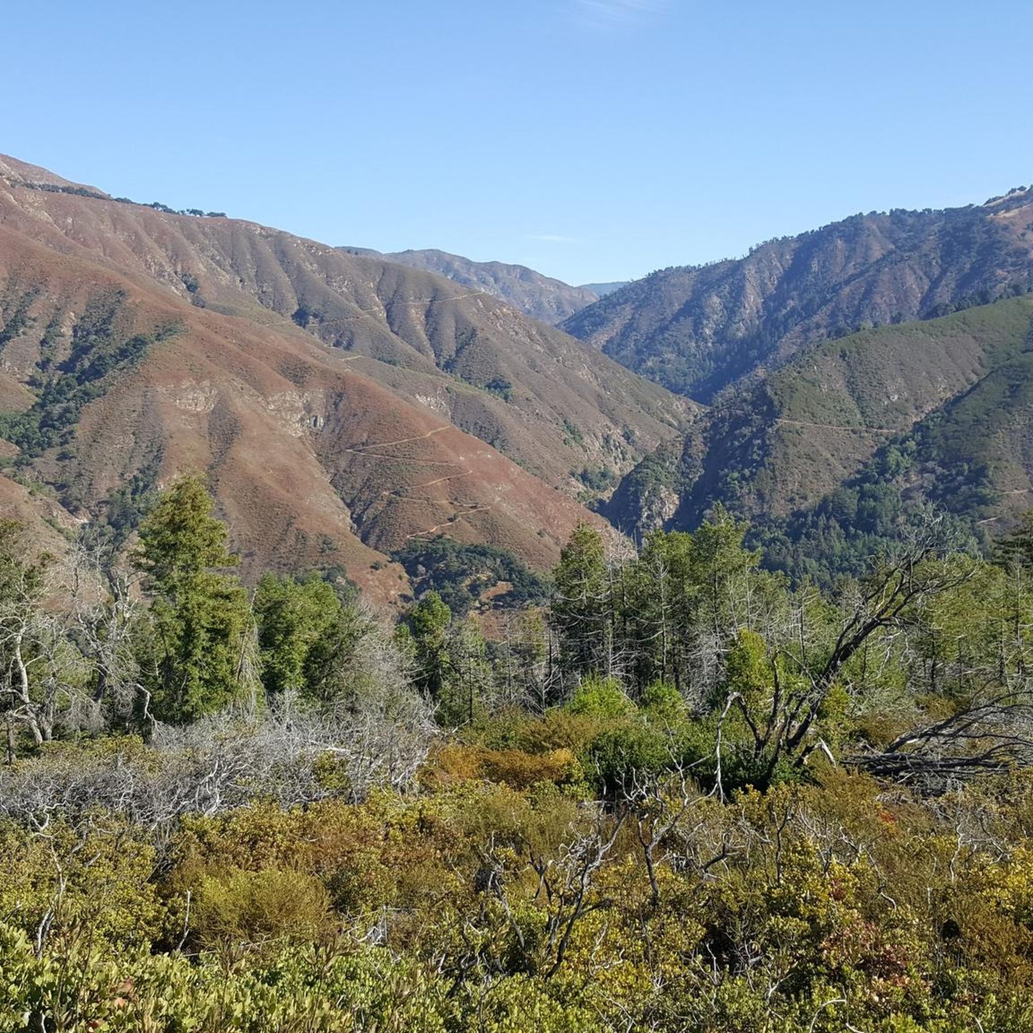
Gravel biking in Los Padres National Forest
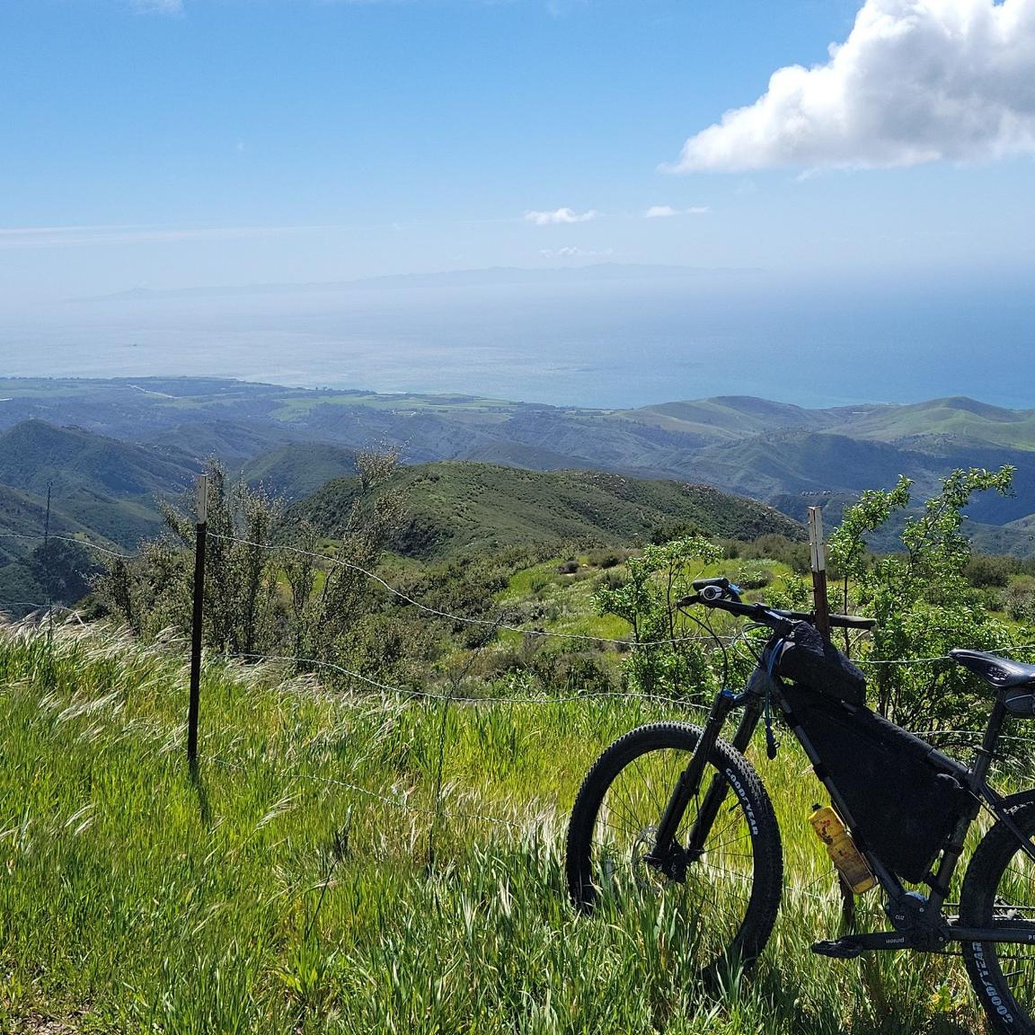
Cycling in Los Padres National Forest


Tips from the Community

Carmel Valley Village is a picturesque, small, rural community nestled in the rolling hills of Monterey County close to the coast and Carmel-by-the-Sea. Known for its world-class wineries, art galleries, and upscale resorts, it is relaxed yet fancy, with stunning views in every direction. There are plenty of highly rated restaurants and cafes here, ideal if you want to treat yourself to lunch during a long ride.
0
0
Carmel Valley Village is a picturesque, small, rural community nestled in the rolling hills of Monterey County close to the coast and Carmel-by-the-Sea. Known for its world-class wineries, art galleries, and upscale resorts, it is relaxed yet fancy, with stunning views in every direction. There are plenty of highly rated restaurants and cafes here, ideal if you want to treat yourself to lunch during a long ride.
0
0
Figueroa Mountain is a spectacular summit, offering panoramic views of the Santa Ynez Valley and the San Rafael Wilderness, dotted with beautiful wildflowers and oak trees. It's a popular recreation area for hiking, camping, and mountain biking, equipped with its own dedicated campground, picnic area, and restrooms. It's well worth the trip to get here, and a great opportunity to capture incredible photos while you take a break during your ride.
0
0

This is an epic road to ride on. By no means an easy one, but the sweeping views of the San Rafael Wilderness Area make up for the effort.
0
0
Ranger Peak stands at 1,376 meters and boasts beautiful bright green slopes adorned with wildflowers surrounded by open meadows and scattered oak trees. There is a trail leading to the summit on the south side, accessible from Figueroa Road. If you're seeking an extended adventure, the view of Figueroa Mountain and beyond from the top is truly incredible.
0
0

This state park has four excellent things going for it: Stunning views of Monterey Bay National Marine Sanctuary and the Big Sur coastline; stately redwood forests; interesting old lime kilns, which were used to burn limestone to render quicklime... and miles of paved trails you can bike on.
0
0

The Big Creek Bridge, on the southern Big Sur coast near Lucia, spans 589 feet across Big Creek Canyon. Opened in 1938, this open spandrel concrete arch bridge was constructed during the Great Depression, partially funded by the Works Progress Administration. Designed by Christian Theophil Gutleben, it has two iconic 178-foot arches and sits 65 feet above the canyon. It remains open despite frequent mudslides affecting other Pacific Coast Highway bridges. Parking areas at both ends offer scenic views, and cyclists bike across with cars. Though it is a highway, the speed limit remains at 55 miles per hour.
0
0

Pfeiffer Big Sur State Park is located in Monterey County on California's Central Coast and spans approximately 1,006 acres along the scenic Big Sur River. Often referred to as a "mini Yosemite," this park is known for its lush redwood forests, dramatic peaks of the Santa Lucia Mountains, and the historic Colonial Tree, a coast redwood estimated to be 1,100-1,200 years old. At the park, you can hike, bike, camp, and swim in the Big Sur River. Camping is available, but reservations are highly recommended due to the park's popularity. Alternatively, guests can stay in one of the rustic cottages at the nearby Big Sur Lodge. Please be advised, however, as of April 2024, the park is temporarily closed due to mudslides and road damages on Highway 1. Visitors are advised to check the CalTrans Quick Map for the latest updates on road closures and detours.
0
0
Frequently Asked Questions
How many road cycling routes are available in Los Padres National Forest?
Los Padres National Forest offers a wide selection of road cycling routes. You can find over 14 routes, ranging from moderate to difficult, designed to showcase the diverse landscapes of the region.
When is the best time of year for road cycling in Los Padres National Forest?
Spring and autumn are generally considered the most favorable seasons for road cycling in Los Padres National Forest. During these times, the weather is more temperate, and there are typically fewer tourists compared to the summer months. Winter can bring road closures due to rain and potential landslides, especially in higher elevations.
What kind of terrain can I expect on road cycling routes in Los Padres National Forest?
Road cycling in Los Padres National Forest features highly varied terrain. You'll encounter challenging climbs, scenic vistas, and a mix of paved and unpaved segments. Routes wind through rugged canyons, along dramatic coastlines, and up to mountain peaks, offering diverse elevation gains and landscapes from coastal bluffs to alpine forests.
Are there challenging road cycling routes with significant climbs?
Yes, Los Padres National Forest is renowned for its challenging climbs. Routes like the Figueroa Mountain Road – Dan Henry Bike Route loop feature significant elevation gain through mountainous terrain. Other demanding options include the Limekiln State Park – Big Creek Bridge loop, which offers extensive climbs and dramatic coastal views.
What scenic viewpoints or natural attractions can I expect to see while road cycling?
Many routes offer breathtaking views. You might encounter stunning coastal vistas along the Big Sur coastline, especially near Nacimiento-Fergusson Road or Nacimiento-Fergusson Rd ⛰️ Plaskett Ridge summit down to Hwy 1. Higher up, you can enjoy panoramic views from peaks like La Cumbre Peak or Nordhoff Peak, and experience the beauty of the Ojai Valley. The Mt. Pinos Climb also offers diverse scenery at high elevations.
Are there any road cycling routes that offer coastal views?
Absolutely. The Los Padres National Forest extends to the coast in many areas, providing stunning ocean views. Routes such as the Limekiln State Park – Big Creek Bridge loop offer dramatic coastal scenery along the Big Sur coastline. The Big Sur Station 🌲 – Partington Cove 🌊 loop also provides excellent opportunities for ocean-adjacent riding.
What do other road cyclists enjoy most about road cycling in Los Padres National Forest?
The area is highly rated by the komoot community, with an average score of 4.6 stars from over 130 reviews. Reviewers often praise the challenging mountain climbs, the scenic coastal roads, and the rugged canyon landscapes that define the region's diverse cycling experience.
Are there any loop trails for road cycling?
Yes, several road cycling routes in Los Padres National Forest are designed as loops. For instance, the Figueroa Mountain Road – Dan Henry Bike Route loop is a popular difficult option. Another challenging loop is the Top of the Cachagua Road Climb – Los Padres Reservoir loop. For a moderate coastal experience, consider the Downtown Carpinteria – Carpinteria loop.
What should I pack for road biking in Los Padres National Forest?
Given the varied terrain and potential for changing weather, it's advisable to pack ample water, emergency supplies, and wear protective gear. Be prepared for diverse conditions, including both paved and unpaved segments, and significant elevation changes. Layers are recommended, especially during spring and autumn, to adapt to temperature fluctuations.
Are there any specific roads known for scenic road cycling?
Yes, several roads are particularly noted for their scenic beauty and cycling experience.
Mount Pinos Road offers a challenging climb with diverse scenery and high elevations. Nacimiento Road is a paved scenic drive ascending to an ocean overlook. The Los Padres Traverse, following Sierra Madre Road, provides expansive views of the Carrizo Plains, Soda Lake, and the Pacific Ocean. Additionally, Lumbre Peak offers dramatic mountain views, especially vibrant in spring.
Are there any permits required for road cycling in Los Padres National Forest?
While general road cycling on paved public roads typically does not require a permit, it's always a good idea to check the specific regulations for any designated wilderness areas or special use zones you plan to enter within the vast Los Padres National Forest. Information regarding permits for certain activities or areas can usually be found on the official forest service website.
Most popular routes in Los Padres National Forest
Most popular attractions in Los Padres National Forest

Get inspired with the komoot mobile app


Explore more
Browse the best Road cycling routes in other regions.
