The best gravel rides around La Forteresse
4.3
(10)
34
riders
9
rides
Gravel bike trails around La Forteresse are situated in the Isère department of southeastern France, offering diverse landscapes for cycling. The region encompasses the Rival valley and the eastern part of the Chambaran plateau, with elevations ranging between 503 and 773 meters. This varied topography, characterized by molasse and clay-sandy soils, provides a suitable environment for gravel biking. The presence of the Rival torrent further contributes to the natural features of the area.
Best gravel bike trails around La Forteresse
…Last updated: May 21, 2026
5.0
(4)
5
riders
31.7km
02:05
120m
120m
Moderate gravel ride. Good fitness required. Mostly paved surfaces. Suitable for all skill levels.
3.0
(1)
5
riders
34.4km
02:06
260m
260m
Moderate gravel ride. Good fitness required. Mostly paved surfaces. Suitable for all skill levels.

Sign up for free
8
riders
20.0km
01:06
90m
90m
Easy gravel ride. Great for any fitness level. Mostly paved surfaces. Suitable for all skill levels.
2
riders
18.9km
01:10
220m
220m
Moderate gravel ride. Good fitness required. Mostly paved surfaces. Suitable for all skill levels.
5.0
(2)
6
riders
Easy gravel ride. Great for any fitness level. Mostly paved surfaces. Suitable for all skill levels.
Get access to more routes and recommendations from other explorers.
Sign up for free
Already have an account?
Our route recommendations are based on thousands of hikes, rides, and runs completed by other people on komoot.
Start today with a free account
Your next adventure awaits.
Login or Signup


Tips from the Community

Here is the route for the ascent of the Col de Pierre Brune starting from Poliénas
1
0

A beautiful encounter at the bend in the road
0
0

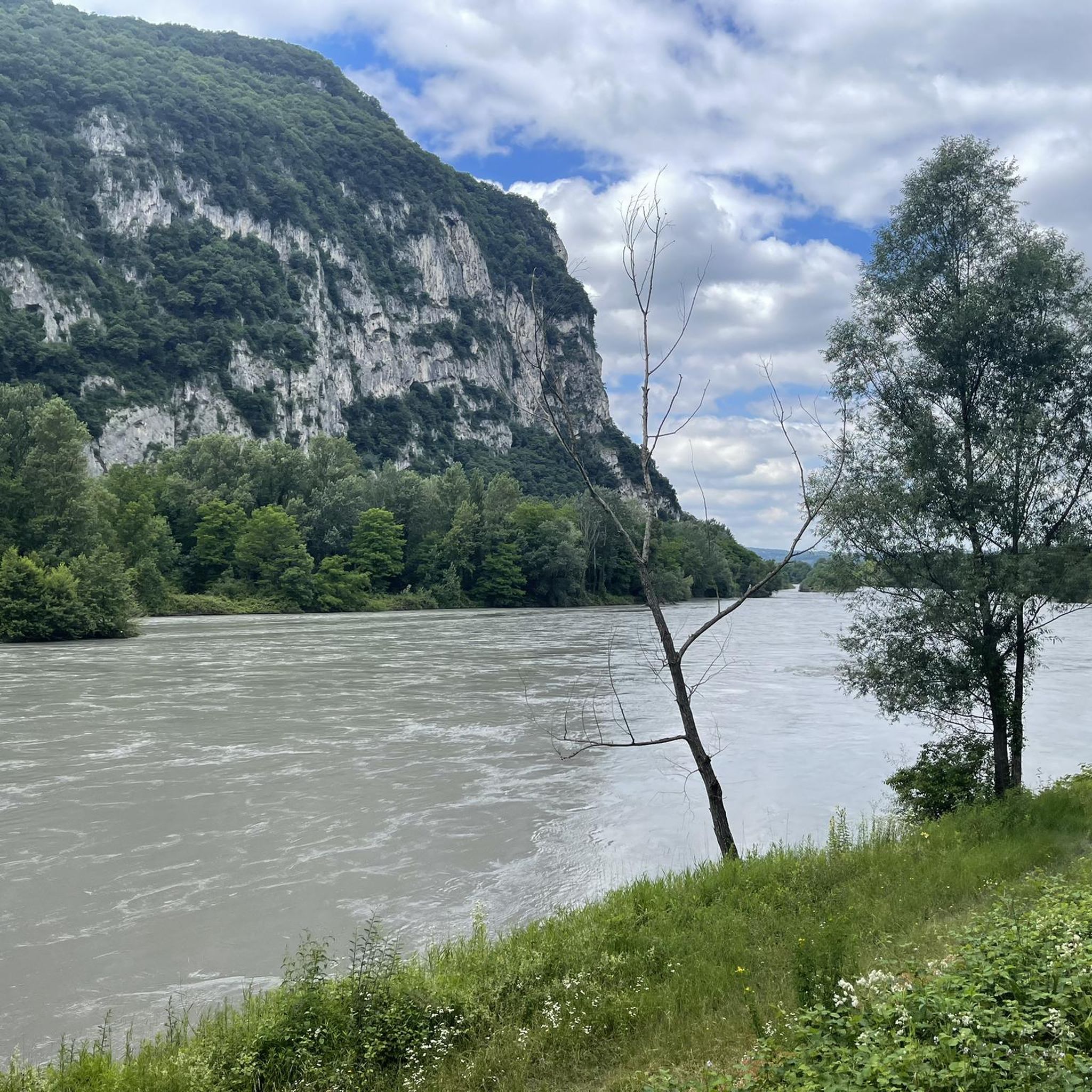
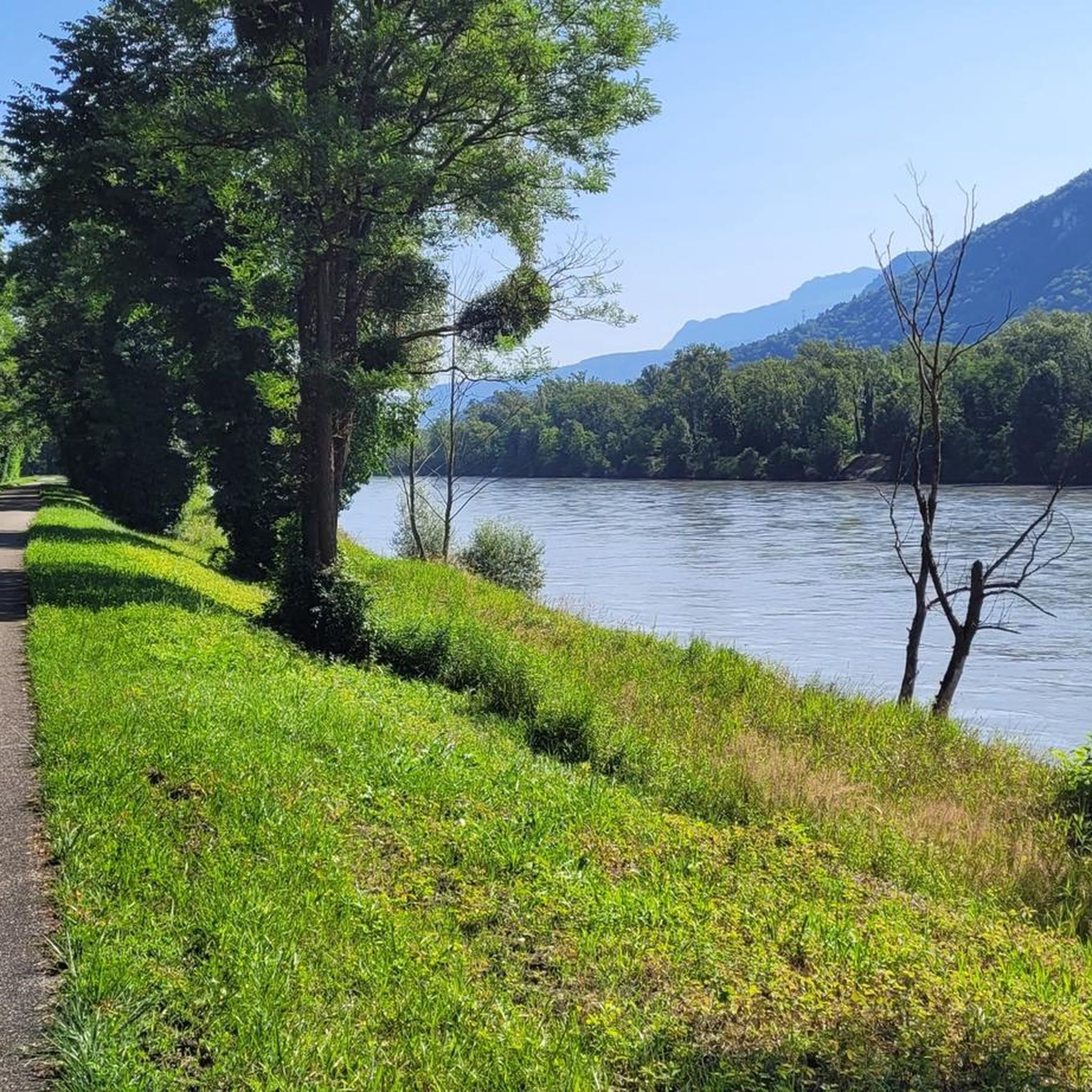
A beautiful cycle path that follows the Isère River. There are a few places to stop for a picnic, and there's even a water fountain. This is a good place to cycle during the summer months as it's generally cooler along the riverside, which is well shaded.
1
0

Beautiful view of the greenway on the Vercors. A bit long greenway with only one picnic spot
1
0

Beautiful bike path along the Isère and views of the Vercors.
0
0
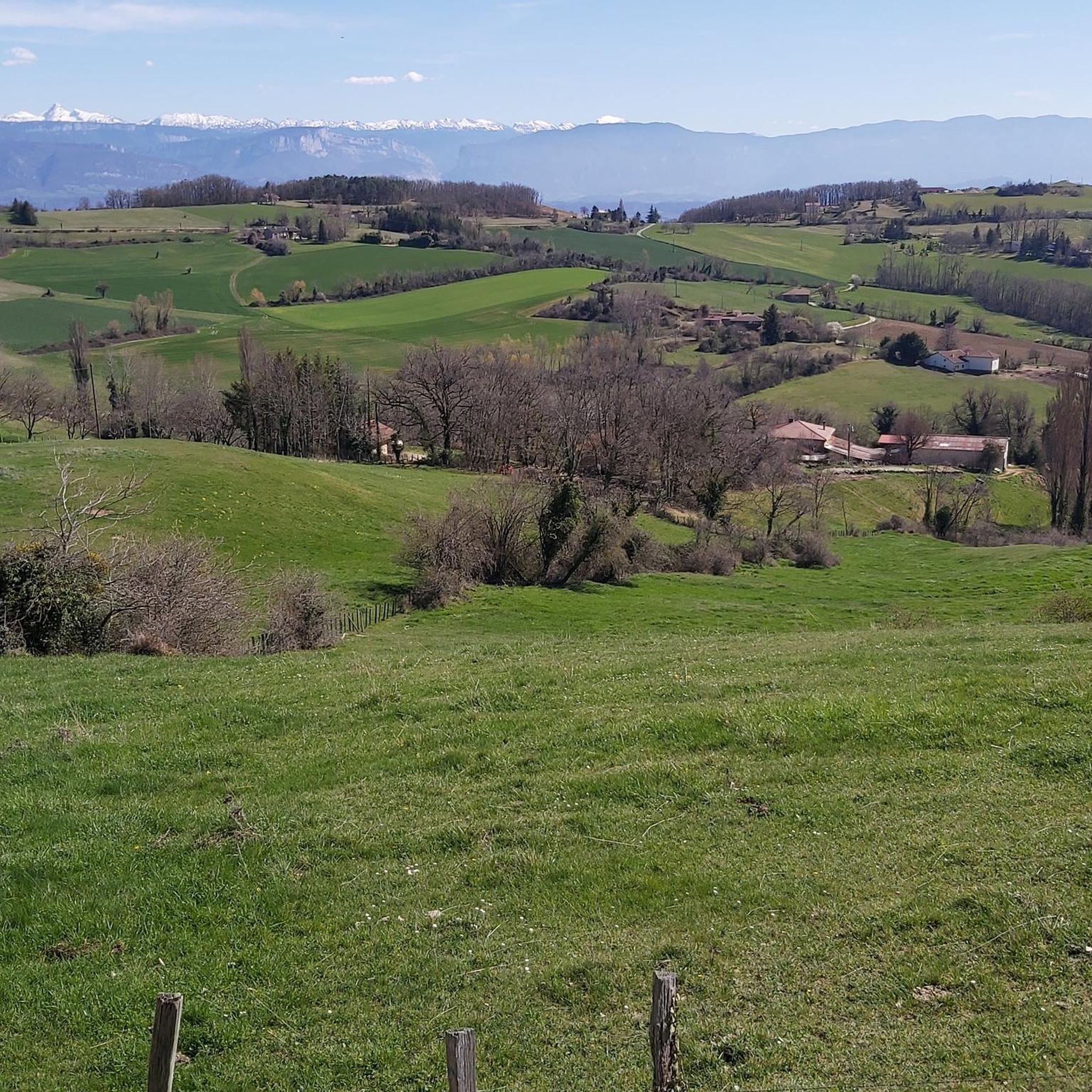
Beautiful typical farm of Dauphiné Isérois
0
0

Véloroute V63 on its own site, away from car traffic.
1
0
Frequently Asked Questions
What kind of terrain can I expect on gravel bike trails around La Forteresse?
The region offers a varied topography, including the Rival valley and the eastern part of the Chambaran plateau. You'll encounter molasse and clay-sandy soils, with elevations ranging between 503 and 773 meters. This diverse landscape, along with numerous forest tracks, makes it ideal for gravel biking.
How many gravel bike trails are available in the La Forteresse area?
There are 11 gravel bike trails in the La Forteresse area, catering to various skill levels. You'll find 3 easy routes, 7 moderate routes, and 1 more challenging option.
Are there any easy or beginner-friendly gravel bike trails near La Forteresse?
Yes, there are several easy routes suitable for beginners. For instance, the In the land of tranquility loop from L'Albenc is an easy 20.0 km trail that takes about 1 hour 33 minutes. Another accessible option is the V63 cycle route – View of the Vercors massif loop from Saint-Quentin-sur-Isère, which is 24.6 km long.
What do other gravel bikers enjoy most about riding in La Forteresse?
The trails around La Forteresse are highly rated by the komoot community, with an average score of 4.3 stars from over 10 reviews. Riders often praise the varied terrain, the tranquil landscapes, and the scenic views, particularly of the Vercors massif.
Are there any scenic viewpoints or landmarks along the gravel bike routes?
Yes, several routes offer scenic views. For example, the View of the Vercors massif – Saint-Jean-de-Chépy Castle loop from Vourey provides stunning vistas of the Vercors massif and passes by a historic castle. You can also find the View of the Vercors massif as a highlight in the area.
Can I find loop trails for gravel biking in La Forteresse?
Absolutely. Many of the gravel bike trails in the area are designed as loops, allowing you to start and finish at the same point. Examples include the Gravel loop from Sillans and the Gravel loop from L'Albenc.
What is the best time of year for gravel biking around La Forteresse?
The Isère region, including La Forteresse, is generally well-suited for outdoor activities. While specific seasonal recommendations aren't provided, the diverse terrain and forest tracks suggest that spring, summer, and autumn would offer pleasant conditions for gravel biking. Winter conditions might vary, so checking local weather is advisable.
Are there any notable mountain passes or cycling routes nearby?
Yes, the area features several mountain passes that can be incorporated into rides. These include the Toutes Aures Pass, Lachard Pass (695 m), and Col de Châtain (684 m). The Isère cycle route is also a significant nearby cycling path.
What are some of the longer gravel bike routes in the area?
For a longer ride, consider the View of the Vercors massif – Saint-Jean-de-Chépy Castle loop from Vourey, which covers 34.4 km and typically takes around 2 hours 6 minutes. Another good option is the Gravel loop from Sillans, at 31.7 km.
Is public transport available to access the gravel trails around La Forteresse?
While specific public transport links to trailheads are not detailed, La Forteresse is located in the Isère department of southeastern France. It's advisable to check local transport services for connections to the starting points of the routes, especially if you're not arriving by car.
Are there any specific attractions or points of interest to explore near La Forteresse?
Beyond the cycling routes, the broader region offers points of interest such as the historic Chateau de Bressieux. The natural environment itself, with its valley, plateau, and torrent, provides a picturesque backdrop for exploration. You can also find highlights like the Sculpture Trail of the Four Winds.
Most popular routes around La Forteresse
Most popular attractions around La Forteresse

Get inspired with the komoot mobile app


Explore more
Browse the best Gravel rides in other regions.
