The best walks and hikes around La Forteresse
4.5
(154)
1,021
hikers
86
hikes
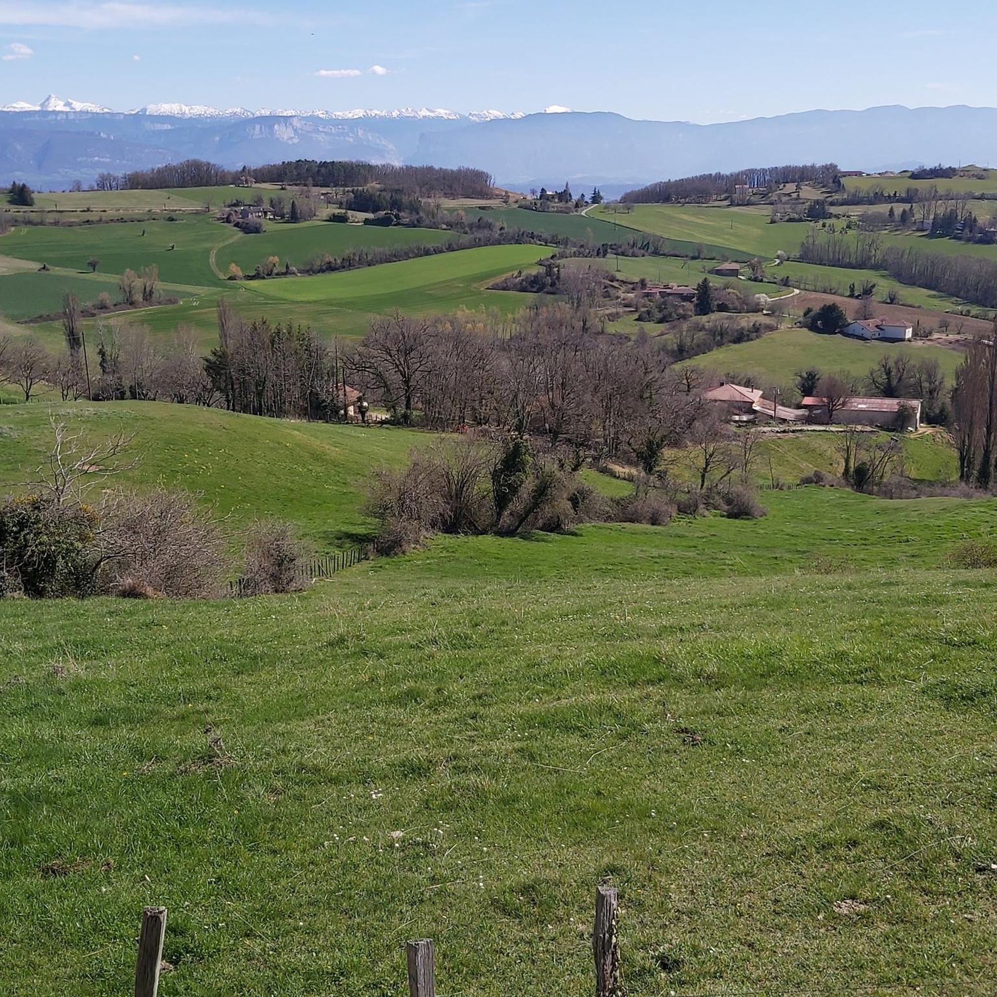
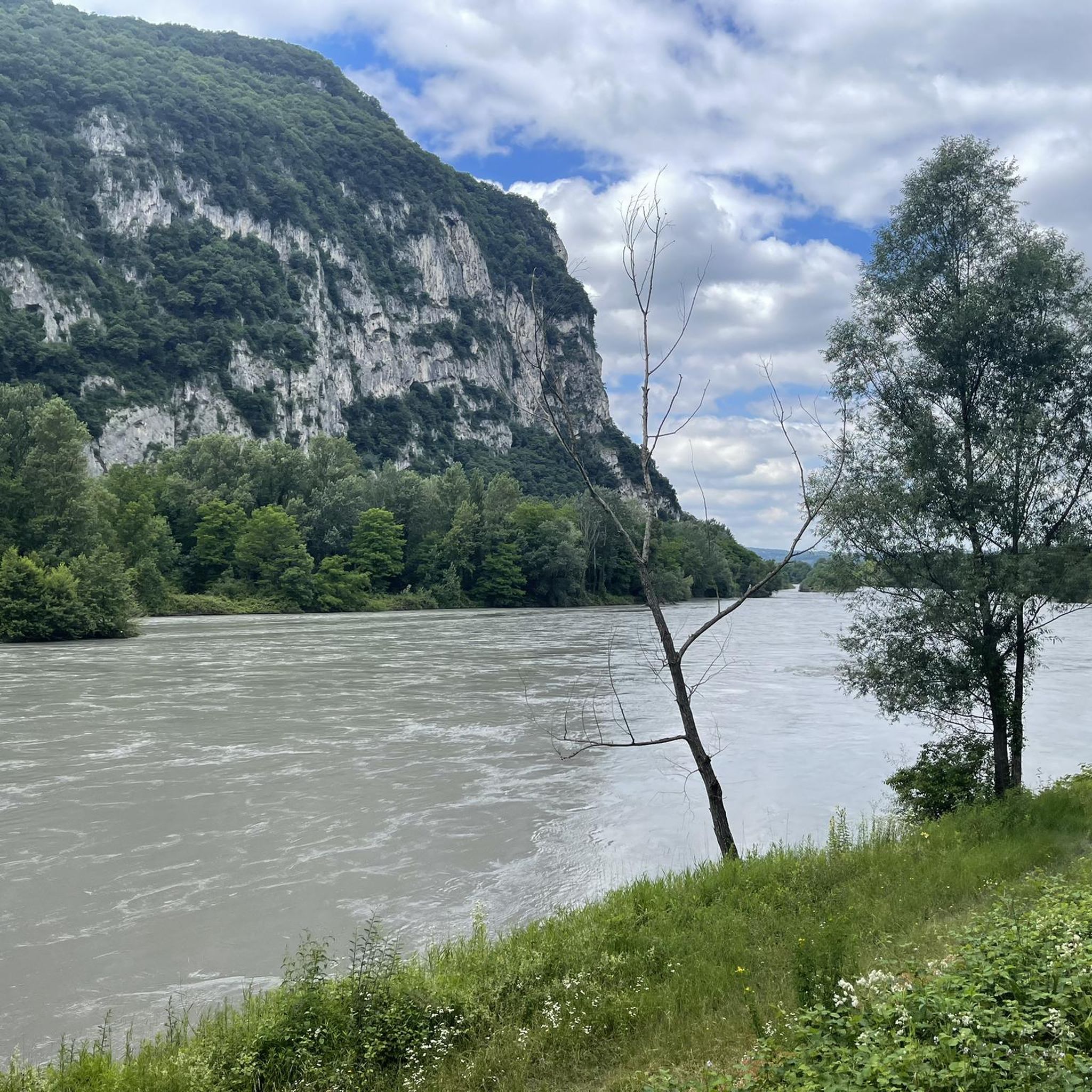
Hiking around La Forteresse offers access to diverse natural landscapes within the Isère department, characterized by a blend of serene countryside and panoramic mountain views. The area features wooded terrain, tranquil waterways like the Ruisseau de Combe Guérin, and picturesque ponds. Hikers can experience pleasant walks through the Chambarans Massif and enjoy expansive views of the Bièvre plain, Dauphinois roofs, and distant mountain ranges including Chartreuse, Belledonne, and Mont Blanc. This region provides a variety of trails, from gentle strolls…
Last updated: July 1, 2026
4.0
(4)
24
hikers
8.00km
02:36
350m
350m
Moderate hike. Good fitness required. Easily-accessible paths. Suitable for all skill levels.
4.5
(2)
14
hikers
6.93km
02:01
180m
180m
Moderate hike. Good fitness required. Easily-accessible paths. Suitable for all skill levels.

Sign up for free
4.0
(2)
19
hikers
9.38km
02:53
330m
330m
Moderate hike. Good fitness required. Easily-accessible paths. Suitable for all skill levels.
5.0
(3)
11
hikers
11.8km
03:29
340m
340m
Moderate hike. Good fitness required. Easily-accessible paths. Suitable for all skill levels.
5.0
(1)
12
hikers
5.48km
01:39
170m
170m
Easy hike. Great for any fitness level. Easily-accessible paths. Suitable for all skill levels.
Get access to more routes and recommendations from other explorers.
Sign up for free
Already have an account?
Our route recommendations are based on thousands of hikes, rides, and runs completed by other people on komoot.
Start today with a free account
Your next adventure awaits.
Login or Signup



Tips from the Community

These ponds are often privately owned, and therefore fishing is prohibited. They are home to many birds and give St Geoirs a touch of the Dombes region.
0
0

The view from the pass is worth the effort!
0
0

The Col de Chatain from Tullins is 7.23 km long with a total drop of 469 m. The average gradient is 6.49% with maximum gradients of 12%.
2
0

There is a small cafe, a free water point and a small picnic area in the sun.
0
0
A fairly steady climb from Vinay, the start has easier grades of 2-4% with the second and final part increasing to 5-6%. The views from the top are definitely worth the effort!
2
0

Located between the Chambarans and the Bièvre plain, it gives a view of "all horizons" at an altitude of 628m.
0
0

Small picnic area and water point at the pass
0
0
Frequently Asked Questions
How many hiking trails are available around La Forteresse?
La Forteresse offers a wide variety of hiking options, with over 75 trails listed on komoot. These range from easy strolls to more challenging routes, catering to different fitness levels.
What kind of terrain can I expect on hikes near La Forteresse?
The terrain around La Forteresse is quite varied. You'll find pleasant walks through the wooded areas of the Chambarans Massif, tranquil paths along waterways like the Ruisseau de Combe Guérin, and circuits around picturesque ponds. Many routes also offer panoramic views of the Bièvre plain and distant mountain ranges like Chartreuse and Belledonne.
Are there any easy hiking trails suitable for beginners or leisurely walks?
Yes, La Forteresse has 19 easy trails. For a leisurely walk, consider The ponds of St Geoirs loop from Plan, which takes you around magnificent ponds covered with water lilies, offering a picturesque and gentle experience.
Can I find circular hiking routes in the La Forteresse area?
Many of the trails around La Forteresse are circular, allowing you to start and end at the same point. Examples include the popular Col de Châtain (684 m) loop from Morette, which explores the wooded Chambarans, or the Lachard Pass (695 m) loop from La Forteresse, offering scenic vistas.
What are some notable natural features or viewpoints to look out for on the trails?
Hikers can enjoy beautiful views of the Dauphinois roofs and expansive sights across the Bièvre plain. From various points, you can also catch impressive distant views of the Chartreuse and Belledonne massifs, and on clear days, even Mont Blanc. The tranquil Ruisseau de Combe Guérin and the picturesque ponds of Plan are also prominent natural features.
Are there any specific landmarks or attractions along the hiking routes?
Yes, several routes pass by interesting points. You might encounter the Toutes Aures Pass, or the Col de Châtain (684 m). For unique art in nature, consider exploring the Sculpture Trail of the Four Winds.
What do other hikers say about the trails in La Forteresse?
The hiking trails around La Forteresse are highly regarded by the komoot community, holding an average rating of 4.4 out of 5 stars from over 130 reviews. Hikers often praise the varied terrain, the peaceful wooded areas, and the rewarding panoramic views.
Are there any hikes that offer views of the Vercors Hills?
Yes, for views of the Vercors Hills, we recommend the View of the Vercors Hills – Toutes Aures Pass loop from Brion. This moderate trail provides excellent vistas of the surrounding landscape.
What is the best time of year to go hiking in La Forteresse?
The region is enjoyable for hiking throughout much of the year. The 'bois de Châtain' (chestnut wood) is particularly pleasant on warmer days due to its coolness. Spring and autumn offer comfortable temperatures and beautiful scenery, while summer provides lush greenery. Winter hiking is possible, but conditions can vary, especially at higher elevations.
Are there any challenging hikes for experienced hikers?
While most trails are easy to moderate, there are 2 difficult routes for those seeking a greater challenge. The area's proximity to the Chartreuse Regional Natural Park and the broader Isère region, with its four major massifs, means more strenuous options with significant elevation changes are accessible nearby for experienced hikers.
Is La Forteresse a good base for exploring other major massifs?
Yes, La Forteresse is well-situated for exploring the wider Isère region. It provides access to extensive trail networks and is close to the Chartreuse Regional Natural Park. The broader Isère department is home to four major massifs: Chartreuse, Vercors, Belledonne, and Oisans, offering a vast array of hiking opportunities from gentle strolls to challenging alpine treks.
Most popular routes around La Forteresse
Most popular attractions around La Forteresse

Get inspired with the komoot mobile app


Explore more
Browse the best Hikes in other regions.
