The best MTB trails around La Forteresse
4.3
(140)
637
riders
106
rides
Mountain bike trails around La Forteresse offer varied terrain within the Isère department of southeastern France. The region is situated in a small valley, forming part of the Chambaran plateau, characterized by a geological makeup of Miocene molasse. This results in diverse ground conditions, largely covered by clay-loam or clay-sandy soils, providing a range of surfaces for mountain biking. The presence of the Rival torrent also suggests routes that may follow water features or traverse valleys.
Best mountain bike trails…
Last updated: July 1, 2026
4.3
(6)
22
riders
35.0km
03:04
510m
510m
Hard mountain bike ride. Good fitness required. Advanced riding skills necessary. Some portions of the route may require you to push your bike.
3.4
(5)
11
riders
25.2km
02:39
790m
790m
Hard mountain bike ride. Good fitness required. Advanced riding skills necessary. Some portions of the route may require you to push your bike.

Sign up for free
5.0
(2)
14
riders
26.7km
02:19
430m
430m
Moderate mountain bike ride. Good fitness required. Suitable for all skill levels.
4.0
(3)
11
riders
Hard mountain bike ride. Good fitness required. Advanced riding skills necessary. Some portions of the route may require you to push your bike.
2.0
(2)
8
riders
21.8km
01:43
310m
310m
Moderate mountain bike ride. Good fitness required. Advanced riding skills necessary.
Get access to more routes and recommendations from other explorers.
Sign up for free
Already have an account?
Our route recommendations are based on thousands of hikes, rides, and runs completed by other people on komoot.
Start today with a free account
Your next adventure awaits.
Login or Signup
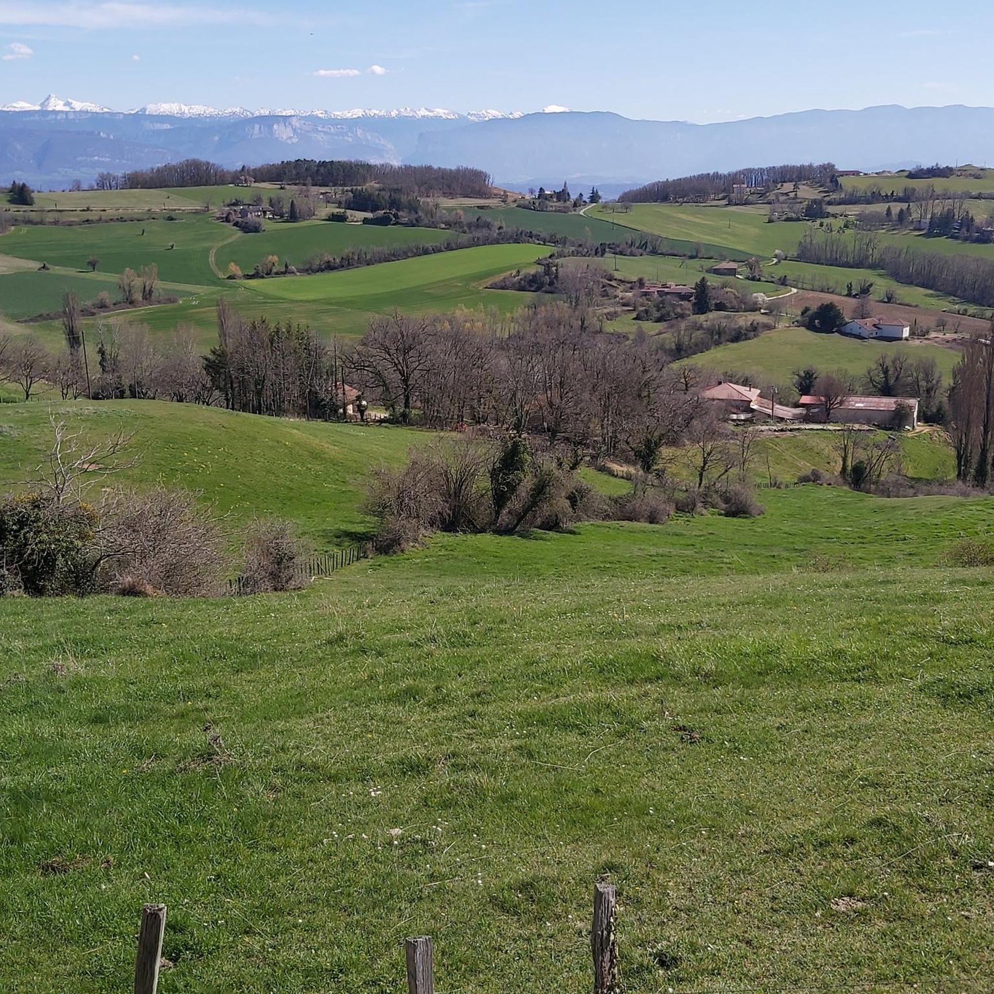
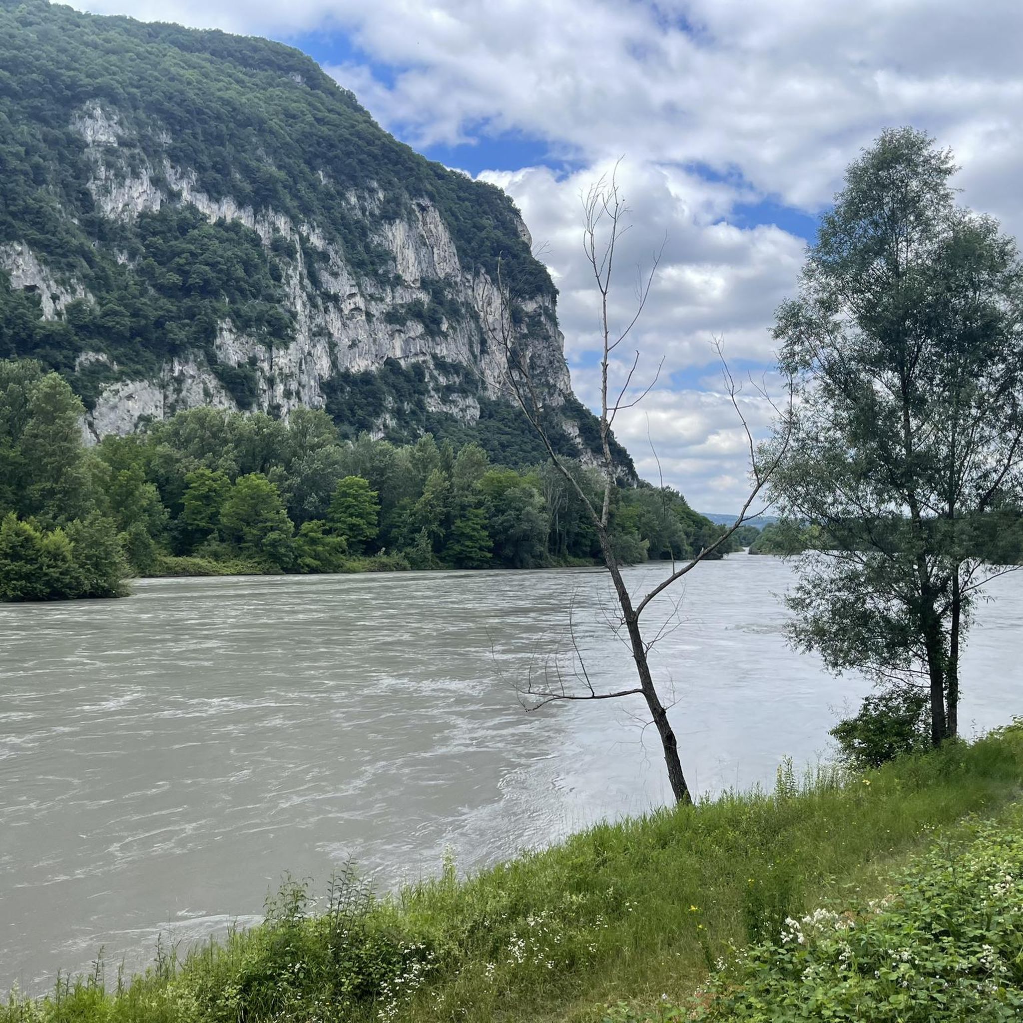

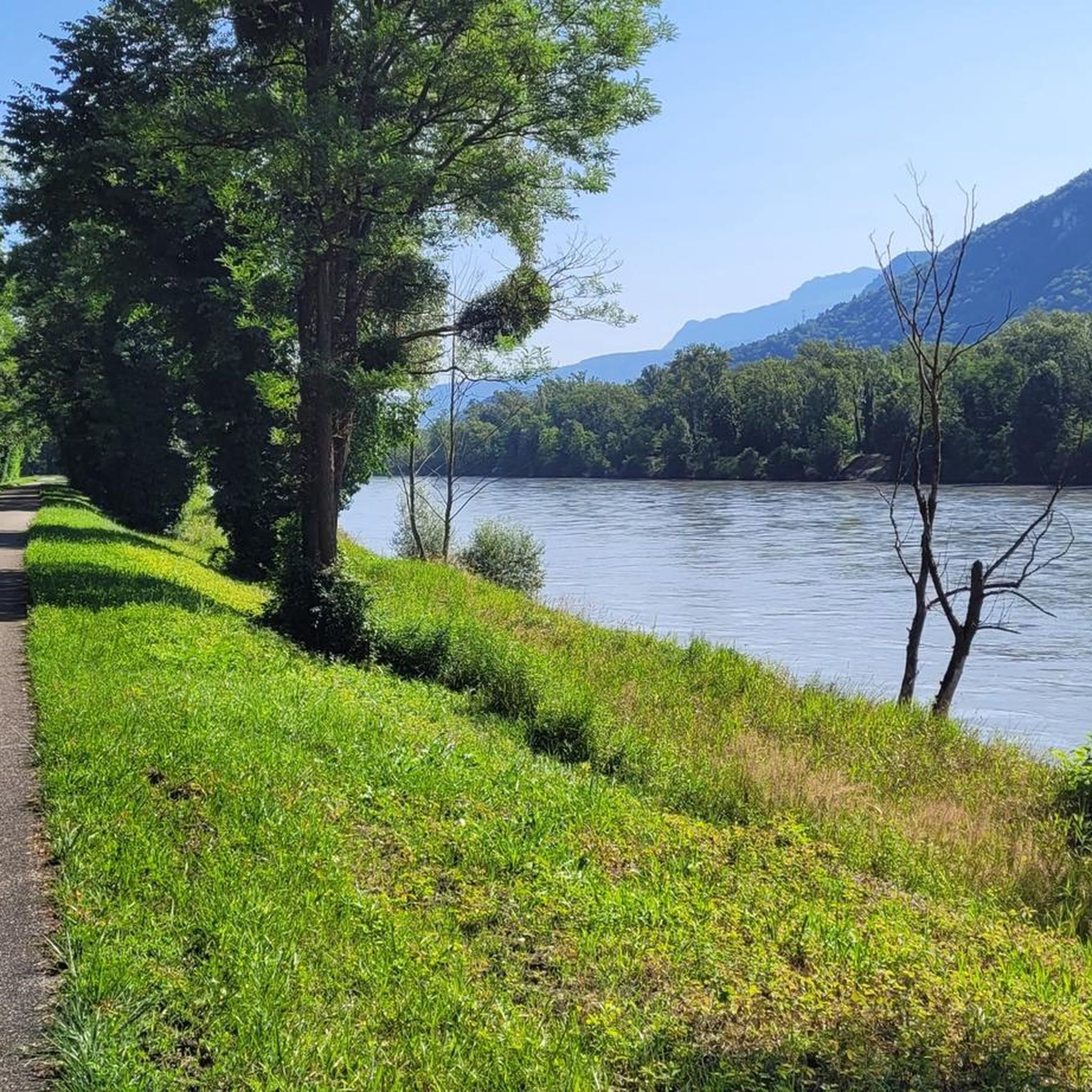

Tips from the Community

A beautiful encounter at the bend in the road
0
0

The Col de Chatain from Tullins is 7.23 km long with a total drop of 469 m. The average gradient is 6.49% with maximum gradients of 12%.
2
0

An orientation table that allows you to have a nice panorama.
0
0
A large pond next to the Col de la Madeleine road.
1
0

this place is really visited it is beautiful
0
0

Magnificent view of the plain and the surrounding mountains
0
0

A nice little mid-season pass from Tullins, more steep than from very soft Izeaux
0
0
Frequently Asked Questions
How many mountain bike trails are available around La Forteresse?
There are over 90 mountain bike trails around La Forteresse, offering a wide range of options for different skill levels and preferences.
What types of terrain can I expect on the mountain bike trails in La Forteresse?
The terrain around La Forteresse is diverse, characterized by its location in a small valley within the Chambaran plateau. You'll encounter a geological makeup of Miocene molasse, largely covered by clay-loam or clay-sandy soils. This provides a mix of surfaces, from forest paths to rolling hills, and some routes may follow the scenic Rival torrent.
Are there mountain bike trails suitable for beginners or families in La Forteresse?
Yes, La Forteresse offers trails for various skill levels. Out of the over 90 routes, 9 are classified as easy, making them suitable for beginners or family outings. You can find options that are less demanding in terms of technical difficulty and elevation.
What kind of elevation gain should I expect on the trails?
Elevation gain varies significantly across the trails. For example, the Château des Ayes loop from Sillans, a moderate route, has an elevation gain of around 430 meters. More challenging routes, like the Col de Toutes Aures – Toutes Aures Pass loop from Brion, can feature nearly 1000 meters of ascent, demanding good physical fitness.
What do other mountain bikers enjoy most about the trails in La Forteresse?
The mountain bike trails around La Forteresse are highly rated by the komoot community, with an average score of 4.3 stars. Reviewers often praise the varied terrain, the engaging rides through natural features like canyons, and the scenic views offered by routes such as the Very nice place with canyon loop from Tullins-Fures.
Are there any notable landmarks or viewpoints along the mountain bike routes?
Yes, several routes offer access to interesting landmarks and viewpoints. For instance, the Statue of Liberty – Étang de Dionay loop from Brion passes by the Statue of Liberty. You can also find highlights like the View of the Vercors massif and the Toutes Aures Pass on or near some trails.
When is the best time of year to go mountain biking in La Forteresse?
The warmer months are generally the best time for mountain biking in La Forteresse. The Isère department, where La Forteresse is located, is known for its outdoor activities, and many ski resorts in the broader region transform into mountain biking hubs during this period, suggesting favorable conditions for trail riding.
Are there any circular mountain bike routes available?
Yes, many of the mountain bike routes around La Forteresse are designed as loops. Examples include the Statue of Liberty – Étang de Dionay loop from Brion, the Very nice place with canyon loop from Tullins-Fures, and the Château des Ayes loop from Sillans, providing convenient starting and ending points.
What are some of the more challenging mountain bike trails in the area?
For experienced riders seeking a challenge, routes like the Col de Toutes Aures – Toutes Aures Pass loop from Brion offer significant elevation gain and technical sections. Another difficult option is the Statue of Liberty – Étang de Dionay loop from Brion, which is 35 km long with over 500 meters of climbing.
Can I access the mountain bike trails using public transport?
While specific public transport connections directly to trailheads in La Forteresse are not detailed, the region is part of the Isère department, which has a broader transport network. It's advisable to check local public transport options to nearby towns like Tullins-Fures or Brion, from where some routes originate.
Is there parking available at the trailheads?
Parking availability can vary by trailhead. For routes starting from towns like Tullins-Fures or Brion, you can typically find public parking within the town centers or designated areas near popular starting points. It's recommended to check specific route details or local information for precise parking locations.
Are there any places to explore nearby after a ride?
Beyond the trails, the Isère department offers numerous attractions. You can explore other highlights like the Isère cycle route or the Sculpture Trail of the Four Winds. The broader region is also home to the majestic Chartreuse and Vercors massifs, providing additional opportunities for exploration.
Most popular routes around La Forteresse
Most popular attractions around La Forteresse

Get inspired with the komoot mobile app


Explore more
Browse the best MTB trails in other regions.
