The best gravel rides around Rimbach Bei Masmünster
4.4
(22)
300
riders
11
rides
Gravel biking around Rimbach Bei Masmünster offers challenging routes through a landscape characterized by significant elevation changes and dense forests. The region, situated in the Vosges mountains, features prominent peaks like the Ballon d'Alsace and Grand Ballon, providing demanding climbs and descents. Gravel bike trails in this area often include sections around natural features such as various mountain passes. The terrain is generally rugged, suitable for experienced gravel cyclists.
Best gravel bike trails around Rimbach Bei Masmünster
- The most popular…
Last updated: November 3, 2026
4.5
(4)
55
riders
63.5km
04:32
1,590m
1,590m
Hard gravel ride. Very good fitness required. Mostly paved surfaces.
4.5
(2)
23
riders
35.5km
03:03
1,170m
1,170m
Hard gravel ride. Very good fitness required. Mostly paved surfaces.

4.3
(3)
54
riders
Hard gravel ride. Very good fitness required. Mostly paved surfaces.
4.3
(4)
45
riders
34.4km
02:26
790m
790m
Hard gravel ride. Very good fitness required. Mostly paved surfaces.
5.0
(2)
18
riders
51.3km
03:45
1,390m
1,390m
Hard gravel ride. Very good fitness required. Mostly paved surfaces.
Get access to more routes and recommendations from other explorers.
Already have an account?
Our route recommendations are based on thousands of hikes, rides, and runs completed by other people on komoot.
Start today with a free account
Your next adventure awaits.
Popular around Rimbach Bei Masmünster
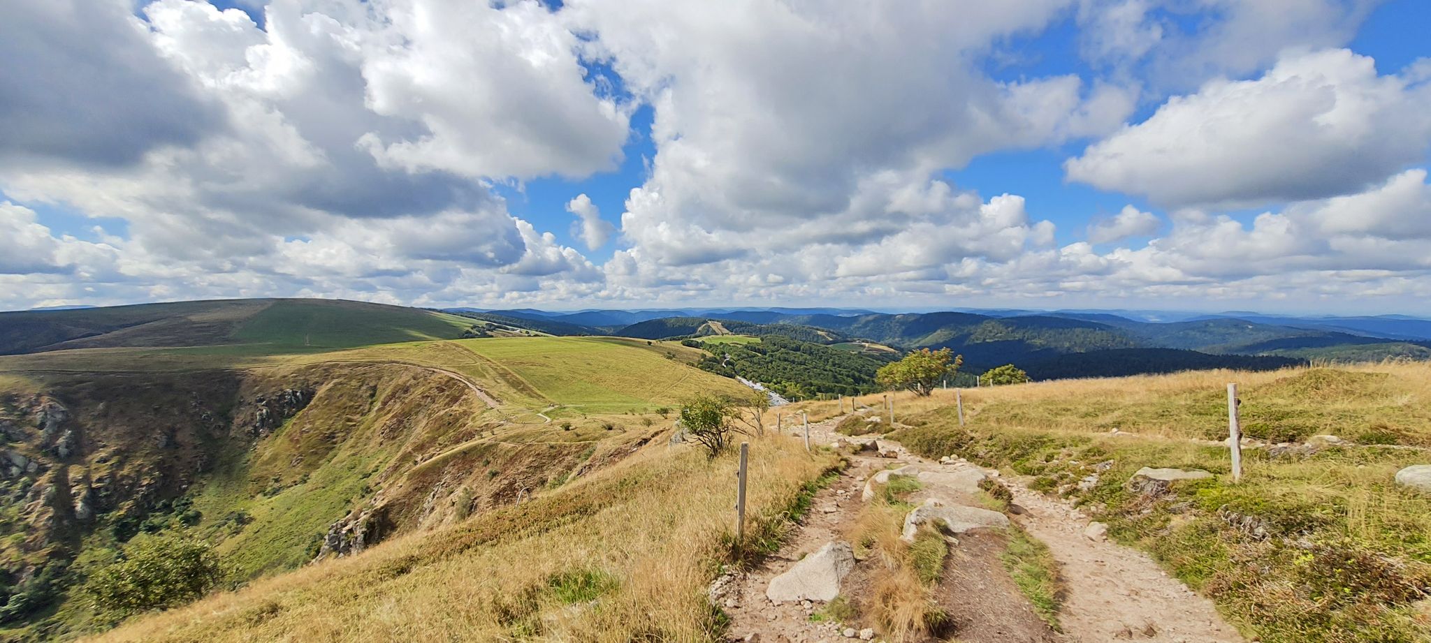
Thatches, lakes and forests – Tour des Ballons des Vosges
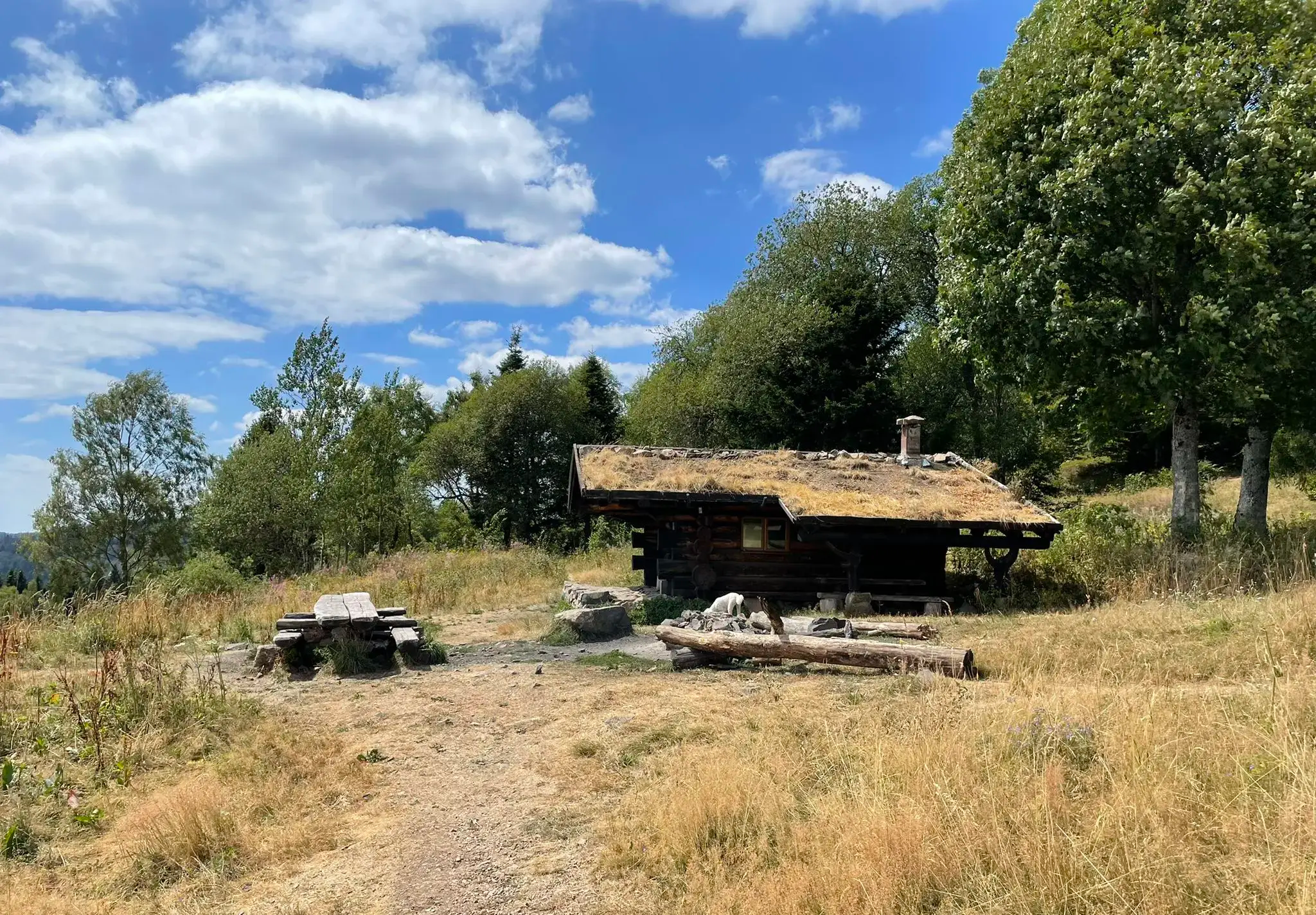
À la découverte des chalets de la Doller
Hiking around Rimbach Bei Masmünster
Road Cycling Routes around Rimbach Bei Masmünster
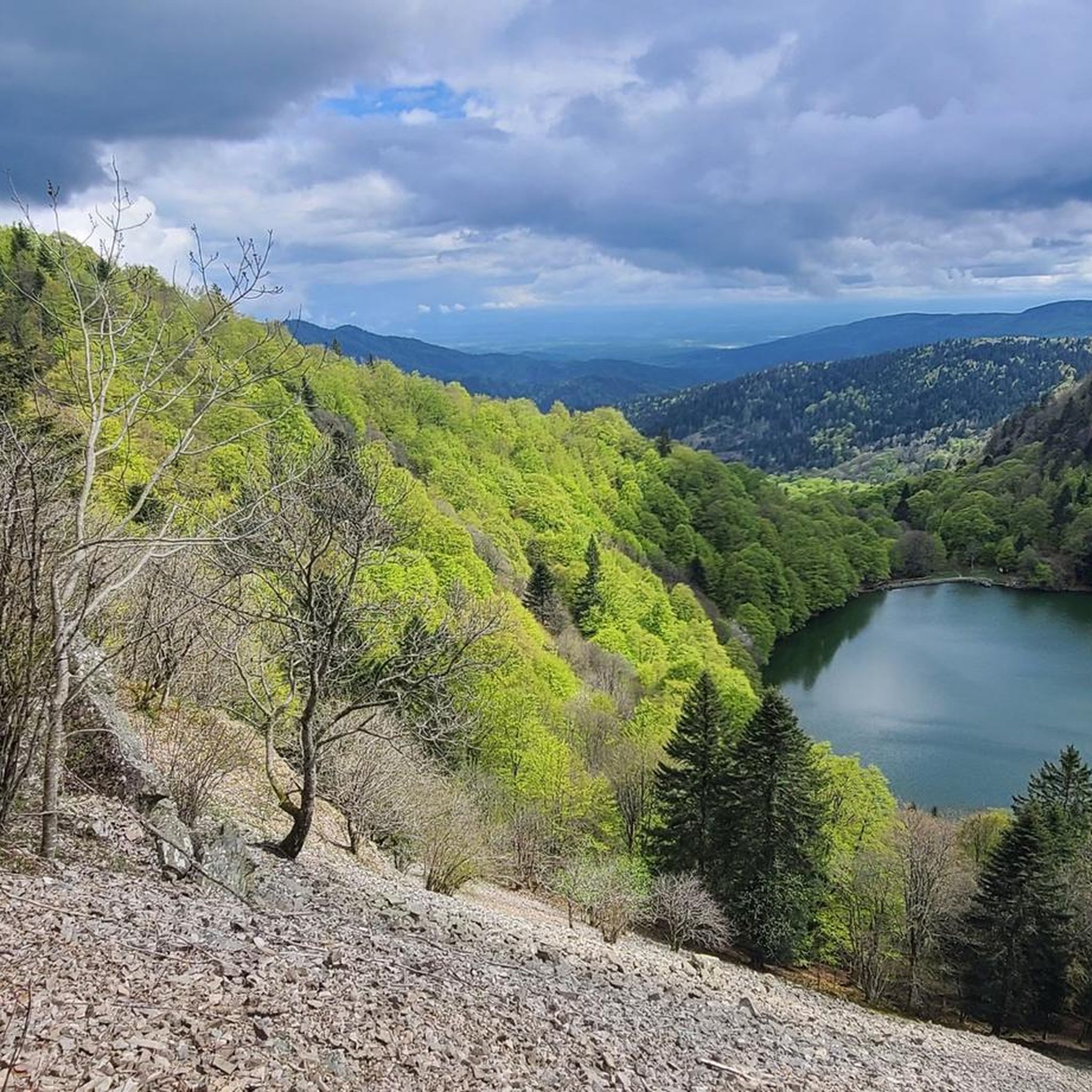
Cycling around Rimbach Bei Masmünster
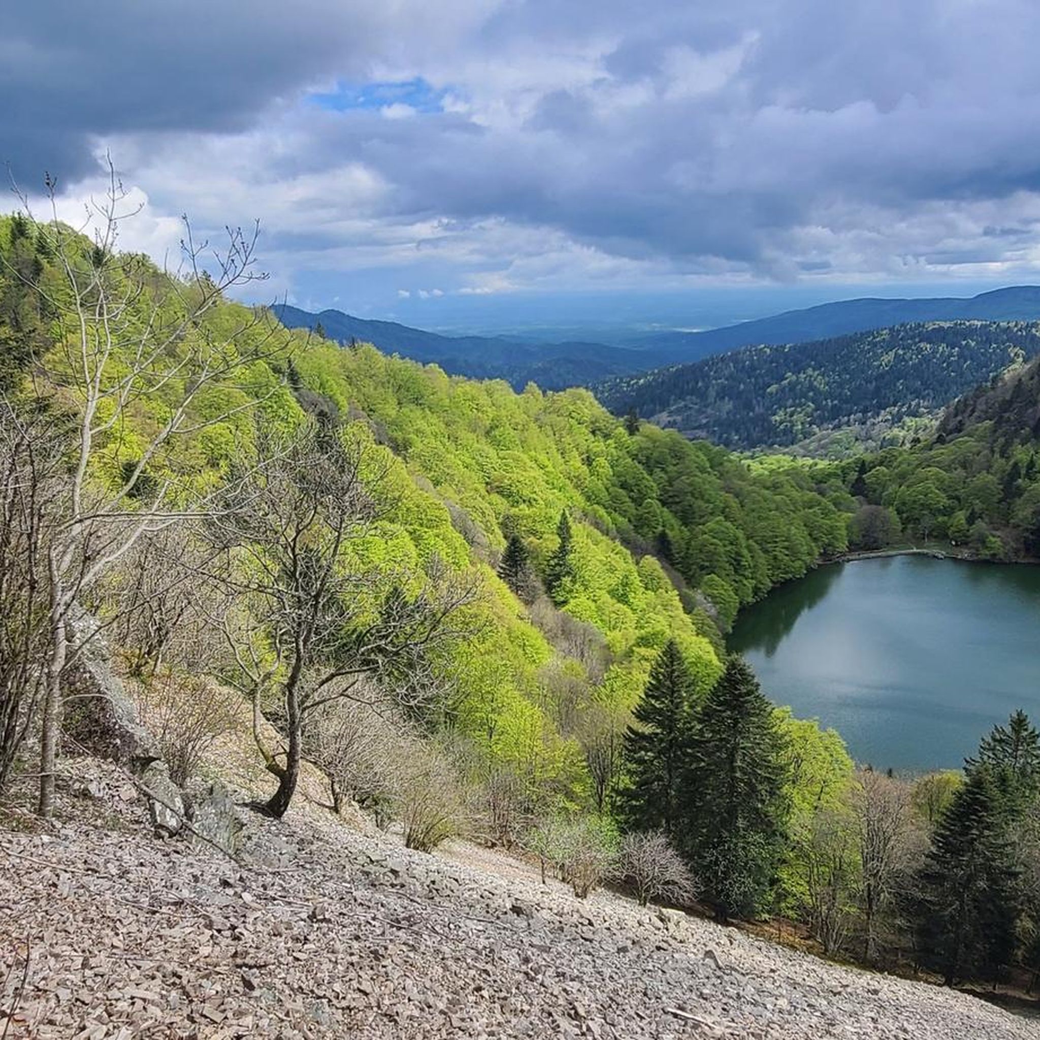
MTB Trails around Rimbach Bei Masmünster
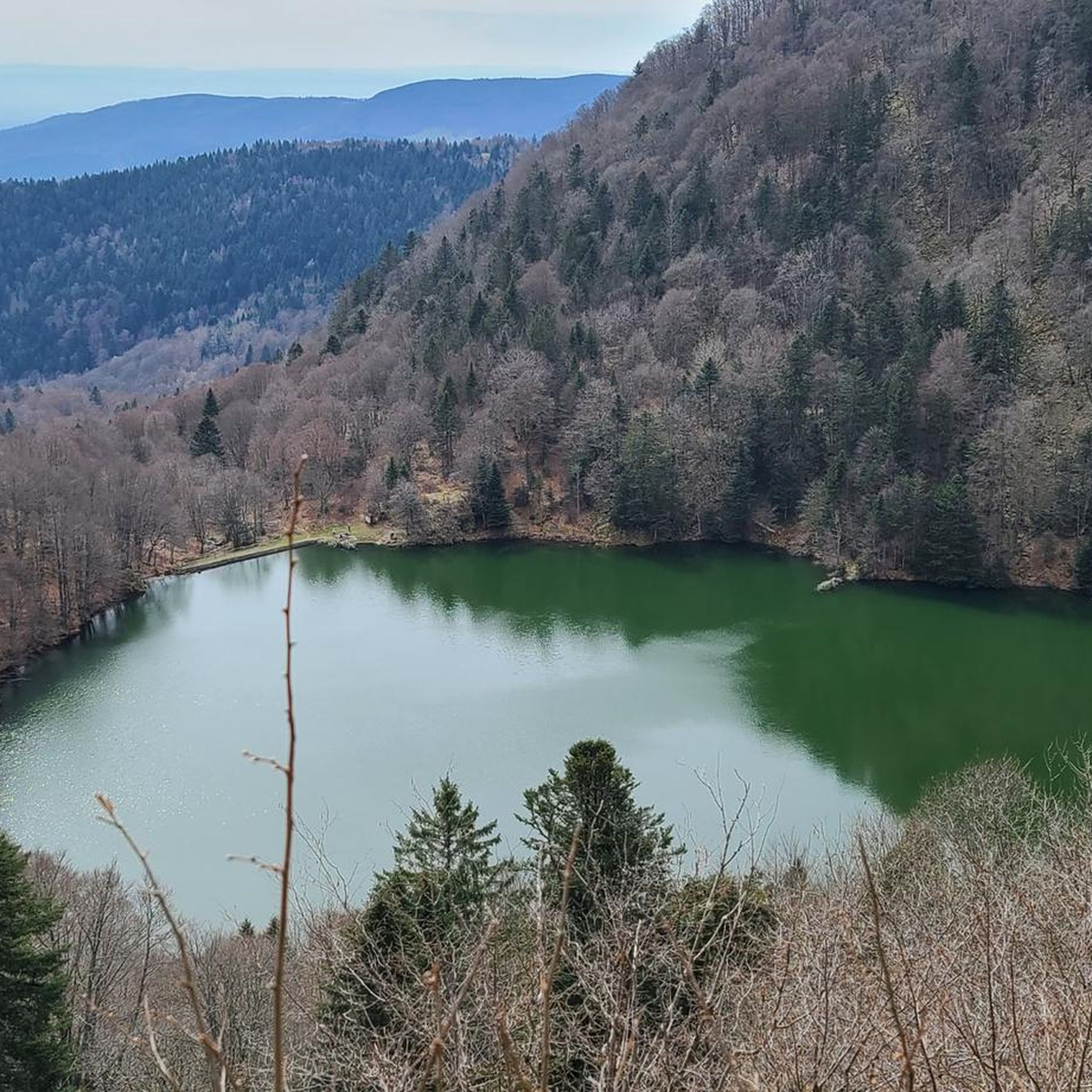
Running Trails around Rimbach Bei Masmünster

Mountain Hikes around Rimbach Bei Masmünster


Tips from the Community

The bare mountain lends itself to beautiful panoramas.
6
0
When you drive from the Route des Crêtes towards Le Grand Ballon, you pass the Col du Haag (1233 m) almost unnoticed. Yet, this pass marks a special point on the southern flank of the highest mountain in the Vosges. Here, steep roads from the Thurdal leave the wooded slopes and reach the open heights of the massif. From the col, a typical Vosges landscape unfolds with mountain meadows, scattered farms, and sweeping views. The proximity of the Grand Ballon is felt everywhere: the imposing summit towers above the pass and forms the natural goal of the final climbing kilometers. For cyclists, the Col du Haag is mainly known as the point where difficult climbs from the valleys converge before the road continues to rise to the highest point of the Vosges.
6
0
De Col des Croix is a 679-meter-high mountain pass in the French Vogezen massif, located on the border of the Vosges and Haute-Saône departments. The pass forms an accessible connecting road (the D486) between the northern Le Thillot and the southern Servance. At the top, you will find the well-known Le Chalet Snack du Col des Croix, and the road splits towards the D16 (Route des Forts), the route that continues to the higher Ballon de Servance.
6
0
The end of the climb is somewhat disappointing. There is nothing marked. No photo opportunity. You have a small parking lot, a closed military road, and a picnic spot well hidden under the trees. At the two yellow signs (mainly for hikers) there is the only indication that you are at the Ballon de Servance and at 1158 m. The climb is "cozy". No cars, completely shaded, a few kilometer markers.
7
0
La Planche des Belles Filles is a 5.8 kilometer climb. It is a category 1 climb. It is located in Plancher Les Mines, Franche-Comté, France. The average gradient of this climb is 8.6% with a maximum of 13.6%. La Planche des Belles Filles climbs from 527 meters at the start to 1,033 meters at the summit, for a total elevation gain of 506 meters.
7
0
This 5.9-kilometer climb from the village of Plancher-les-Mines in Haute-Saône is one of the most difficult in the Vosges. Indeed, cyclists who want to try it will need to be at least somewhat trained. With a gradient of 24% towards the end of the route, it's better to be well-attached. The gradient never seems to ease, with its hairpin bends and, upon reaching the resort, the last 2 kilometers rise like a wall. However, you'll be able to say that you've done it, so come and try the climb of La Planche too!
8
0

sensational view up to the Alps.
1
0

beautiful cycle path along the Moselle
1
0
Frequently Asked Questions
What is the general difficulty level of gravel bike trails around Rimbach Bei Masmünster?
Gravel biking around Rimbach Bei Masmünster is primarily suited for experienced riders. All 21 available routes are classified as difficult, featuring significant elevation changes and rugged terrain through the Vosges mountains. You can expect demanding climbs and descents.
Are there any family-friendly or beginner gravel bike routes in the Rimbach Bei Masmünster area?
No, the gravel bike trails around Rimbach Bei Masmünster are not suitable for families or beginners. The region's mountainous terrain and challenging ascents mean that all routes are rated as difficult, requiring a good level of fitness and gravel biking experience.
What kind of distances can I expect on gravel bike routes in Rimbach Bei Masmünster?
The gravel bike routes in this area typically range from moderate to long distances. For example, the Ballon d'Alsace – Rue du Ballon d'Alsace loop from Fontaine Minerale is about 32 km (20 miles), while the Kruth Dam – Lake Kruth-Wildenstein loop from Fellering extends to nearly 49 km (30.5 miles).
What are some notable viewpoints or natural features along the gravel bike trails?
Many routes offer panoramic views from prominent peaks and passes. You can experience stunning vistas from locations like Ballon d'Alsace and Markstein. The Kruth Dam – Lake Kruth-Wildenstein loop from Fellering also traverses varied terrain around a large lake, providing scenic waterside sections.
What is the best time of year for gravel biking in Rimbach Bei Masmünster?
The best time for gravel biking in Rimbach Bei Masmünster is typically from late spring to early autumn (May to October). During these months, the weather is generally more favorable, and the mountain passes are clear of snow. Winter cycling can be challenging due to snow and ice at higher elevations in the Vosges mountains.
Are there any circular gravel bike routes available?
Yes, many of the gravel bike routes in Rimbach Bei Masmünster are designed as loops. Examples include the Ballon d'Alsace – Rue du Ballon d'Alsace loop from Fontaine Minerale, the Kruth Dam – Lake Kruth-Wildenstein loop from Fellering, and the Ves Chapel – BRIDGE BOW loop from Fontaine Minerale, allowing you to start and finish at the same point.
What do other gravel bikers say about the trails in Rimbach Bei Masmünster?
The gravel biking routes in Rimbach Bei Masmünster are highly regarded by the komoot community, holding an average rating of 4.3 stars from over 19 reviews. Riders often praise the challenging nature of the trails, the dense forest sections, and the rewarding views from the mountain peaks.
Where can I find parking for gravel bike trails in the area?
Many routes start from villages or specific points that offer parking. For instance, routes like the Ballon d'Alsace – Rue du Ballon d'Alsace loop and the Ves Chapel – BRIDGE BOW loop both start from Fontaine Minerale, which typically has designated parking areas. Other routes begin from Fellering or Moosch, where you can also find parking facilities.
Are there any specific mountain passes or summits I can reach by gravel bike?
Absolutely. The region is known for its prominent peaks and passes. You can cycle towards and over the Ballon d'Alsace and the Markstein. The Grand Ballon – Markstein loop from Fellering is a great option to experience these high points.
How many gravel bike trails are available in Rimbach Bei Masmünster?
There are 21 dedicated gravel bike trails available around Rimbach Bei Masmünster, all of which are categorized as difficult due to the challenging mountainous terrain and significant elevation changes.
What are the typical trail conditions like for gravel biking in this region?
The gravel trails in Rimbach Bei Masmünster are characterized by rugged surfaces, often traversing dense forests and featuring substantial elevation gains and descents. You can expect a mix of gravel roads, forest paths, and potentially some technical sections, making for a challenging ride.
Can I find places to eat or drink near the gravel bike routes?
While specific cafes are not listed for every route, many trails start or pass through villages like Fontaine Minerale, Fellering, or Moosch. These villages typically offer amenities such as small shops, bakeries, or local eateries where you can refuel before or after your ride.
Most popular routes around Rimbach Bei Masmünster
Most popular attractions around Rimbach Bei Masmünster

Get inspired with the komoot mobile app


Explore more
Browse the best Gravel rides in other regions.
