The best walks and hikes around Rimbach Bei Masmünster
4.5
(868)
5,350
hikers
32
hikes
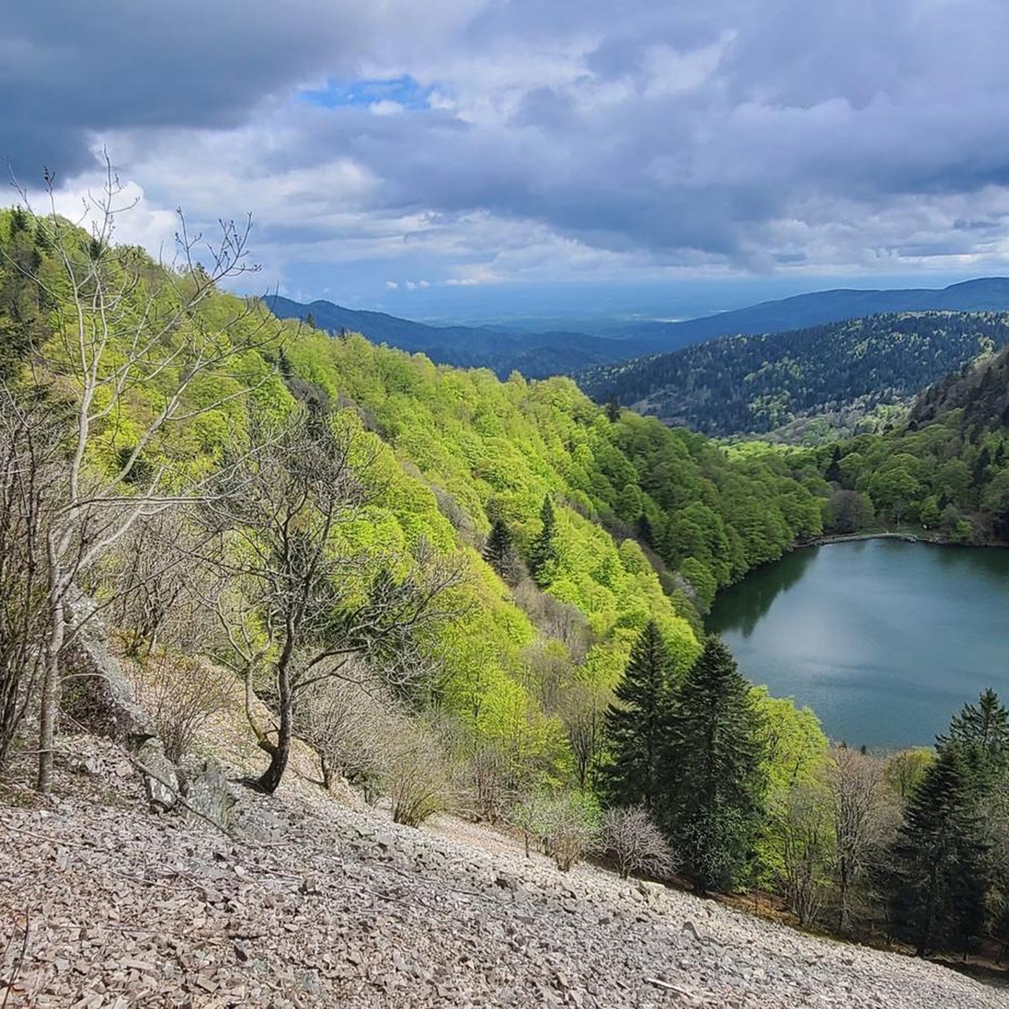
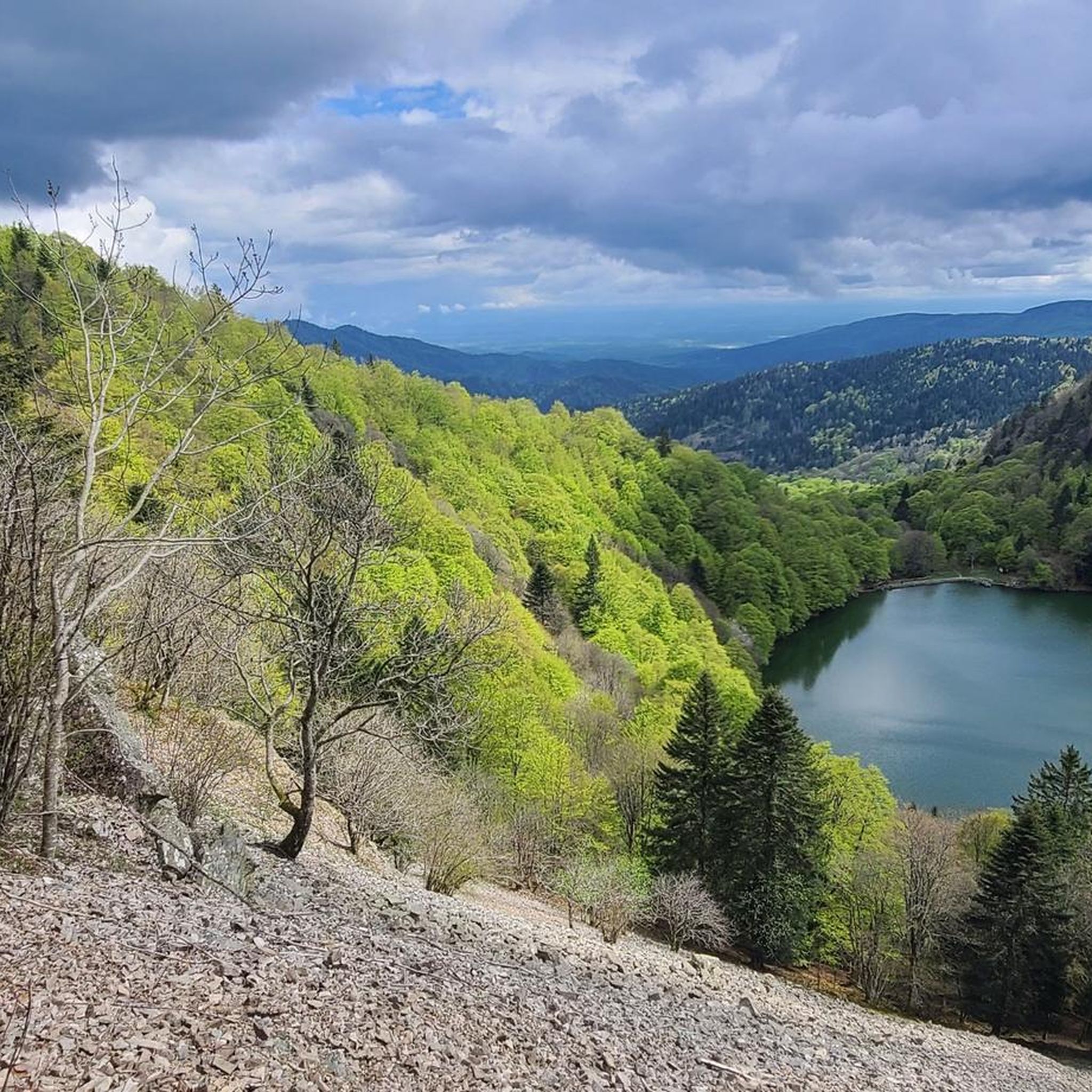
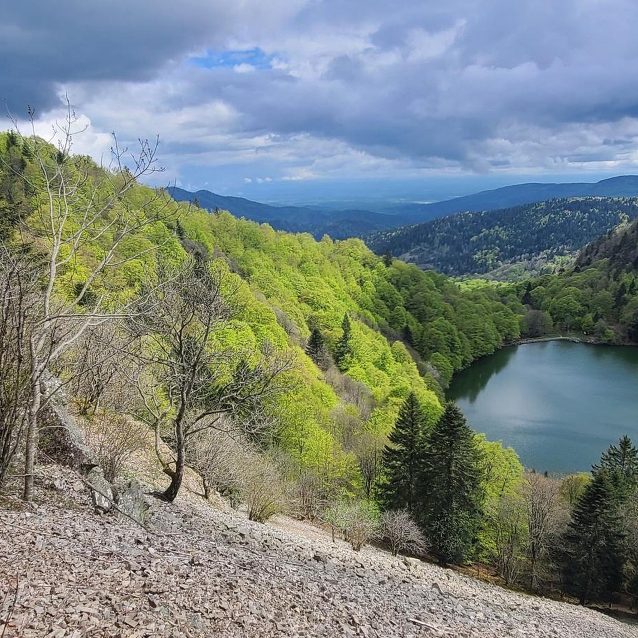
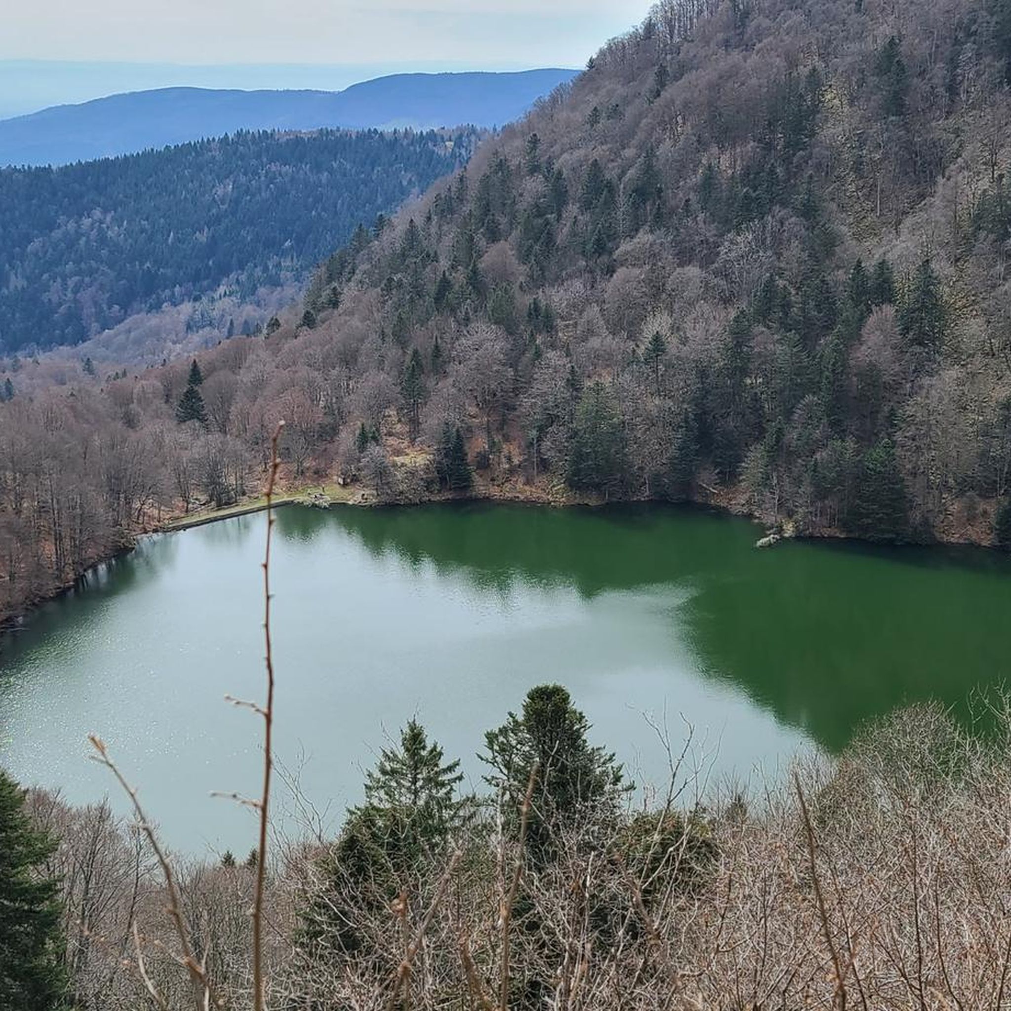
Hiking around Rimbach Bei Masmünster offers diverse landscapes within the Southern Vosges mountains of northeastern France. The region is characterized by peaks reaching over 1000 meters, including Rossberg and Tête des Perches, providing significant ascents. Glacial lakes such as Lac des Perches and Neuweiher are nestled within impressive cirques, while extensive forests and wild valleys define the terrain. This area, part of the Ballons des Vosges Regional Natural Park, features varied paths through deep woods and open ridgelines.
Best hiking…
Last updated: August 30, 2026
4.6
(12)
89
hikers
10.8km
03:59
620m
620m
Hard hike. Good fitness required. Sure-footedness, sturdy shoes and alpine experience required.
4.7
(66)
425
hikers
13.0km
04:24
580m
580m
Hard hike. Good fitness required. Sure-footedness, sturdy shoes and alpine experience required.

Sign up for free
4.5
(51)
236
hikers
9.28km
03:07
420m
420m
Moderate hike. Good fitness required. Mostly accessible paths. Sure-footedness required.
4.8
(10)
101
hikers
17.5km
06:06
840m
840m
Hard hike. Very good fitness required. Sure-footedness, sturdy shoes and alpine experience required.
4.9
(7)
51
hikers
Hard hike. Very good fitness required. Sure-footedness, sturdy shoes and alpine experience required.
Get access to more routes and recommendations from other explorers.
Sign up for free
Already have an account?
Our route recommendations are based on thousands of hikes, rides, and runs completed by other people on komoot.
Start today with a free account
Your next adventure awaits.
Login or Signup
Popular around Rimbach Bei Masmünster

Thatches, lakes and forests – Tour des Ballons des Vosges
Road Cycling Routes around Rimbach Bei Masmünster
Cycling around Rimbach Bei Masmünster
MTB Trails around Rimbach Bei Masmünster
Running Trails around Rimbach Bei Masmünster

Gravel biking around Rimbach Bei Masmünster

Mountain Hikes around Rimbach Bei Masmünster
Other adventures around Rimbach Bei Masmünster

Tips from the Community

nice inn with delicious food. especially the breakfast - great. sometimes they grill in the evening. no street nearby - wonderfully quiet
3
0

So beautiful here, with the little lake in the depth and the view of the Alps!
1
0
better not climb the rock with fear of heights
2
0

Beautiful hike and beautiful viewpoint
1
0

Located at an altitude of 800 meters.
1
0


Very pleasant and varied hike!
2
0

Bench located on a pretty meadow path that offers a beautiful view of Rimbach and the surrounding mountains 🌾
0
0
Frequently Asked Questions
How many hiking trails are available in Rimbach Bei Masmünster?
There are over 35 hiking trails around Rimbach Bei Masmünster, offering a wide range of experiences from easy strolls to challenging expeditions within the Southern Vosges mountains.
Are there easy hiking options suitable for beginners or families?
Yes, Rimbach Bei Masmünster offers 4 easy hiking options. These trails are generally shorter and have less elevation gain, making them suitable for families or those looking for a relaxed walk. While specific routes for strollers are not highlighted, many easy paths through the forests can be enjoyed by families.
What kind of terrain and elevation can I expect on hikes in this region?
The terrain in Rimbach Bei Masmünster is diverse, ranging from deep forests and shaded paths to open ridgelines with panoramic views. You can expect significant elevation changes, as the region is nestled in the Southern Vosges mountains with peaks over 1000 meters. Many routes, especially the difficult ones, involve substantial ascents and descents, requiring good fitness and sturdy shoes.
Are there any circular or loop hikes available?
Yes, many popular routes in Rimbach Bei Masmünster are circular. For example, the Neuweiher Lake – Gresson Moyen Farm Inn loop from Oberbruck is a moderate 9 km path, and the Neuweiher Lake – View of Rimbach-près-Masevaux loop from Oberbruck offers forested paths and views over 13 km.
What are some notable natural features or landmarks to see while hiking?
Hikers can explore several impressive natural features. The **Lac des Perches**, also known as Sternsee, is a high-altitude glacial lake nestled in a wild cirque. The **Neuweiher** consists of two serene, superimposed lakes. You'll also traverse extensive forests and ridgelines offering panoramic views, sometimes extending to the Alps on clear days. For specific points of interest, consider exploring highlights like Markstein or Ballon d'Alsace.
What do other hikers enjoy the most about hiking in Rimbach Bei Masmünster?
The hiking trails in Rimbach Bei Masmünster are highly rated by the komoot community, with an average score of 4.5 stars from over 700 reviews. Hikers often praise the diverse landscapes, the pristine glacial lakes like Lac des Perches and Neuweiher, and the extensive forests that provide varied and rewarding experiences.
Is it possible to find food or accommodation along the trails?
Yes, some trails pass by traditional farm inns and refuges where you can find regional cuisine and hospitality. For instance, the popular "Randonnée des 3 lacs" route leads past the Auberge-Refuge du Neuweiher and the Auberge du Riesenwald. The region also features huts like the Munsteraeckerle Shelter and the Haag farmhouse inn, which serve as resting points and offer local fare.
Are there any specific regulations or permits required for hiking in the Ballons des Vosges Regional Natural Park?
Generally, no specific permits are required for hiking on marked trails within the Ballons des Vosges Regional Natural Park. However, it's always advisable to respect local signage, stay on designated paths, and be aware of any temporary restrictions, especially during hunting seasons or specific environmental protection periods. Always practice Leave No Trace principles.
What is the best time of year to go hiking in Rimbach Bei Masmünster?
The best time to hike in Rimbach Bei Masmünster is typically from spring through autumn when the weather is mild and trails are clear. Summer offers lush greenery and warmer temperatures, while autumn provides stunning fall foliage. Winter hiking is possible but requires appropriate gear and experience, as higher elevations can see snow and ice.
Are there options for parking near the trailheads?
Yes, many popular trailheads in and around Rimbach Bei Masmünster, such as the Ermensbach parking area, offer designated parking facilities for hikers. It's common to find parking available at the start of well-known routes, especially those leading to attractions like the Neuweiher lakes or Lac des Perches.
Can I bring my dog on the hiking trails?
Dogs are generally welcome on hiking trails in the Ballons des Vosges Regional Natural Park, but it is crucial to keep them on a leash to protect wildlife and ensure the safety of other hikers. Always carry water for your dog, especially on longer routes, and be prepared to clean up after them.
Most popular routes around Rimbach Bei Masmünster
Most popular attractions around Rimbach Bei Masmünster

Get inspired with the komoot mobile app


Explore more
Browse the best Hikes in other regions.
