The best road cycling routes around Rimbach Bei Masmünster
4.5
(531)
21,087
riders
119
rides
Road cycling routes around Rimbach Bei Masmünster traverse a landscape characterized by river valleys, such as the Moselle, and the foothills of the Vosges mountains. The region features a mix of rolling hills, forested areas, and open stretches alongside lakes. Road cyclists can expect varied terrain, from gentle gradients along waterways to more challenging climbs towards higher elevations.
Best road cycling routes around Rimbach Bei Masmünster
- The most popular road cycling route is Col du Page Memorial (957 m) –…
Last updated: August 29, 2026
4.5
(17)
664
riders
Moderate road ride. Good fitness required. Mostly well-paved surfaces and easy to ride.
5.0
(2)
136
riders
98.8km
04:45
1,390m
1,390m
Hard road ride. Very good fitness required. Mostly well-paved surfaces and easy to ride.

Sign up for free
4.8
(4)
81
riders
28.9km
01:17
250m
250m
Moderate road ride. Great for any fitness level. Some segments of this route may be unpaved and difficult to ride.
5.0
(1)
82
riders
66.0km
02:52
550m
550m
Moderate road ride. Good fitness required. Mostly well-paved surfaces and easy to ride.
4.2
(5)
51
riders
47.4km
01:59
280m
280m
Moderate road ride. Great for any fitness level. Some segments of this route may be unpaved and difficult to ride.
Get access to more routes and recommendations from other explorers.
Sign up for free
Already have an account?
Our route recommendations are based on thousands of hikes, rides, and runs completed by other people on komoot.
Start today with a free account
Your next adventure awaits.
Login or Signup
Popular around Rimbach Bei Masmünster

Thatches, lakes and forests – Tour des Ballons des Vosges
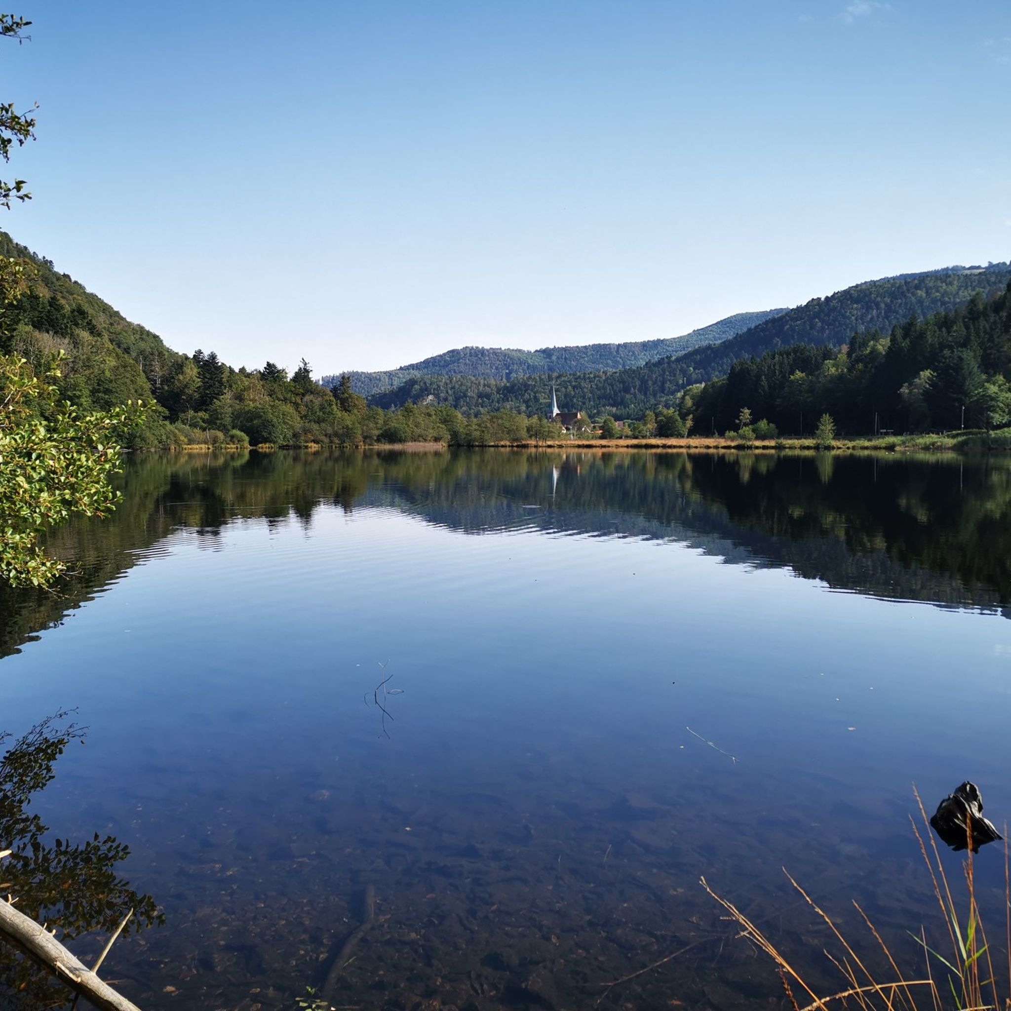
Hiking around Rimbach Bei Masmünster
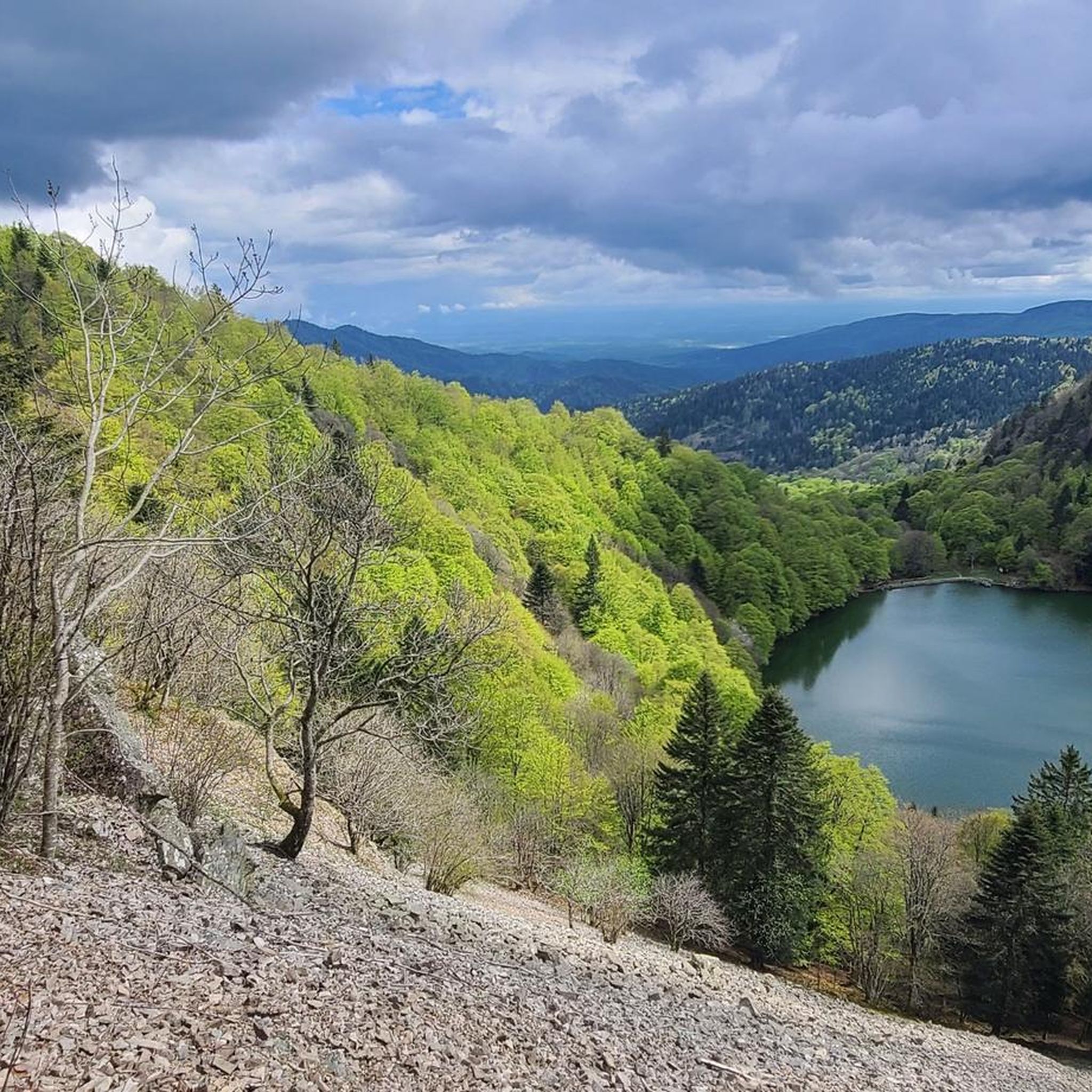
Cycling around Rimbach Bei Masmünster
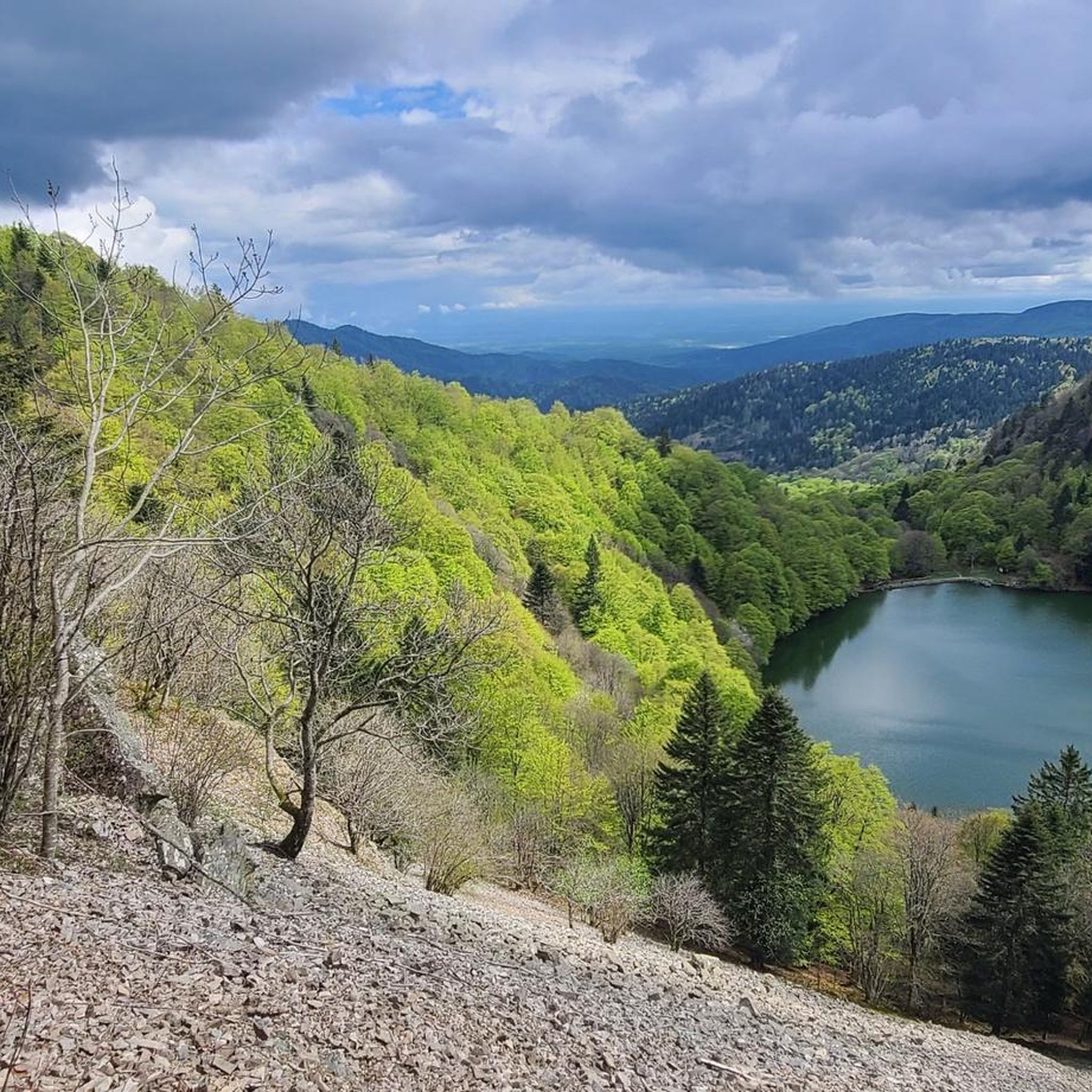
MTB Trails around Rimbach Bei Masmünster
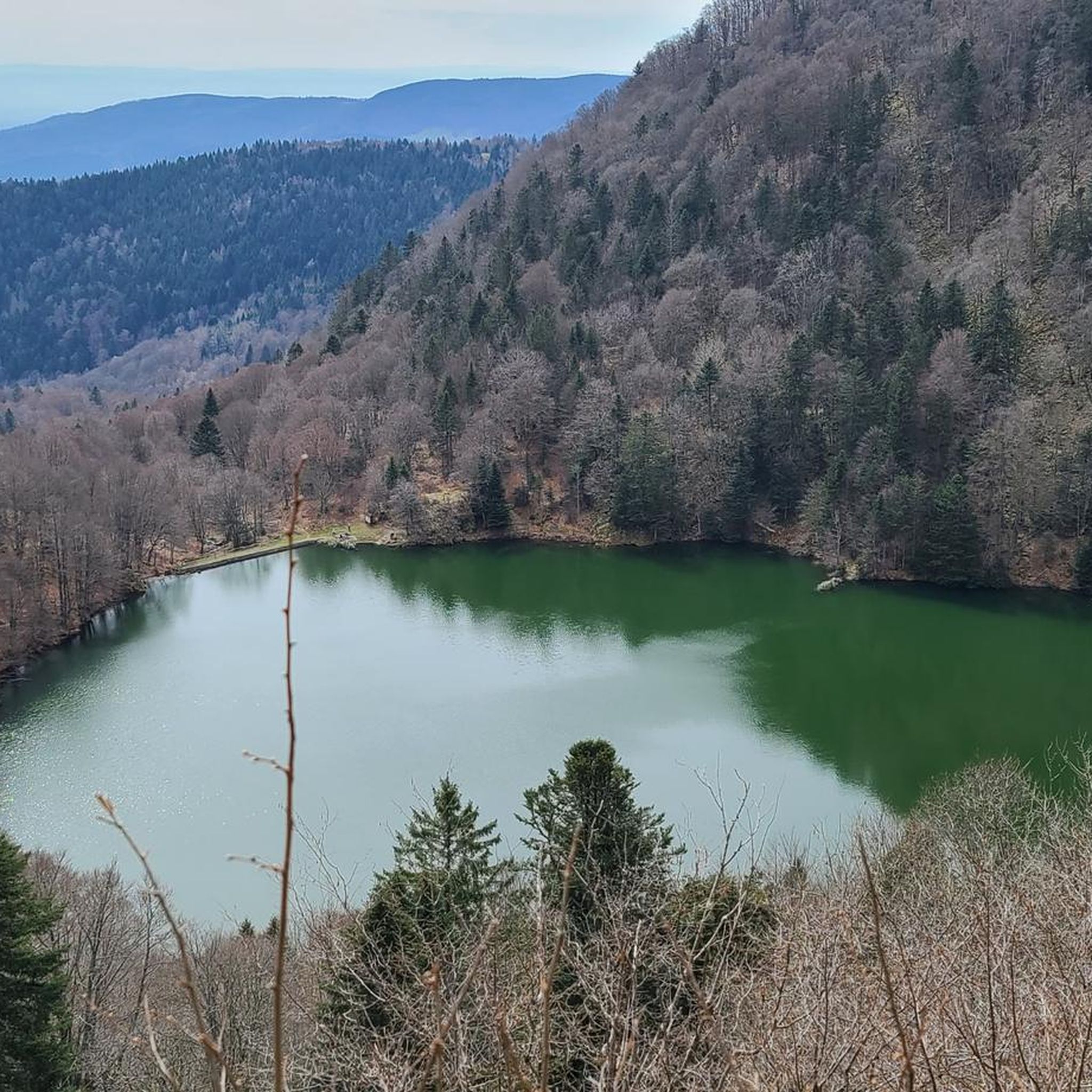
Running Trails around Rimbach Bei Masmünster

Gravel biking around Rimbach Bei Masmünster

Mountain Hikes around Rimbach Bei Masmünster
Other adventures around Rimbach Bei Masmünster

Tips from the Community

beautiful cycle path along the Moselle
0
0
we followed your route for many kilometers
0
0

The Saint-Antoine church of Fellering is a neo-Gothic building constructed between 1874 and 1878 by the architect Charles Winkler.
0
0

If you like to hurt and question gravity, this is the right place.
0
0
It starts gently... but that's just the beginning.
0
0
Long hesitated to do it. Short but very hard, with the Pinot turn and the last ramp of the super board to tell yourself that it's really hard.
0
0

Along the departmental road D466 there are several fountains with drinking water. There should be up to four. When driving in the direction of Ballon d'Alsace, the last one is located at the Place des Anciens Combattants next to the Église Notre-Dame de l'Assomption church with a cemetery in the town center.
0
0
The Place des Anciens Combattants is located directly on the departmental road D466 at the transition from Grand Rue to Rue du Ballon or vice versa, depending on the direction you are coming from. On the square, located in the center of Sewen, you will find the Église Notre-Dame de l'Assomption church as well as the cemetery, a large, old village fountain with an octagonal basin. There are also two bus stops, one for the connection to Cernay and the other to Mulhouse. Behind the cemetery in Rue de l'Église is the guesthouse Gite au Coer du Village. From the square, the quietly located Lac de Sewen is also reachable on foot at a distance of 1 km. From the representation of the village of Sewen on the map, the impression might arise that it is a place with residents in the low four-digit range, but this is deceptive. There are not even 500. 180 years ago, there were almost 1,000.
0
0
Frequently Asked Questions
How many road cycling routes are available around Rimbach Bei Masmünster?
There are over 115 road cycling routes available around Rimbach Bei Masmünster, offering a wide range of options for different skill levels. You'll find everything from easy rides along river valleys to challenging climbs in the Vosges foothills.
Are there easy road cycling routes suitable for beginners or families in Rimbach Bei Masmünster?
Yes, Rimbach Bei Masmünster offers several easy road cycling routes. For a gentle ride, consider the Lake Kruth-Wildenstein – Bockloch Waterfall loop from Urbès, which is 17.8 miles (28.7 km) long and leads through forested areas and past a scenic lake. There are 21 easy routes in total, many of which are suitable for a relaxed pace.
What are some challenging road cycling routes for experienced riders in the region?
For experienced road cyclists seeking a challenge, the region offers routes with significant elevation gain. A notable difficult route is the Planche des Belles Filles – La Planche des Belles Filles loop from Sewen, a 61.6 miles (99.1 km) path featuring substantial climbing to a well-known summit with panoramic views. There are 29 difficult routes in the area.
What kind of scenery can I expect on road cycling routes around Rimbach Bei Masmünster?
Road cycling around Rimbach Bei Masmünster is defined by diverse scenery, including picturesque river valleys like the Moselle, dense forested hills, and tranquil lakes. Many routes offer scenic viewpoints, especially as you gain elevation towards the Vosges mountains. You can also find routes that pass by natural monuments and mountain passes.
Are there any circular road cycling routes in Rimbach Bei Masmünster?
Yes, many of the road cycling routes around Rimbach Bei Masmünster are designed as loops. For example, the Col du Page Memorial (957 m) – Voie verte along the Moselle loop from Saint-Maurice-sur-Moselle is a popular circular route that combines riverside riding with a climb. Another option is the Burnhaupt Station – Lake Michelbach loop from Sewen.
What attractions or landmarks can I see along the road cycling routes?
Many routes pass by or offer views of significant landmarks. You might encounter natural monuments such as Ballon d'Alsace or serene lakes like Lac des Perches (Star Lake) and Neuweiher Lake. Mountain passes like Hundsruck Pass also feature prominently on some routes, offering stunning vistas.
What do other road cyclists enjoy most about road cycling in Rimbach Bei Masmünster?
The area is highly rated by the komoot community, with an average score of 4.5 stars from over 400 reviews. Reviewers often praise the varied terrain, from gentle greenways along the Moselle to challenging climbs in the Vosges, and the beautiful natural scenery including lakes and forests.
What is the best time of year for road biking in Rimbach Bei Masmünster?
The spring, summer, and early autumn months generally offer the most favorable conditions for road biking in Rimbach Bei Masmünster. During these seasons, you can expect milder temperatures and less precipitation, making for more enjoyable rides through the river valleys and up into the mountains. Summer provides longer daylight hours for extended tours.
Are there road cycling routes that offer viewpoints or panoramic vistas?
Absolutely. Given the region's topography with the Vosges mountains, many routes include climbs to higher elevations that reward cyclists with panoramic views. The Planche des Belles Filles loop, for instance, leads to a summit renowned for its expansive vistas. Passes like Markstein also provide excellent viewpoints.
Can I find road cycling routes that are less crowded?
While popular routes can see more traffic, the extensive network of over 115 routes means you can often find quieter options, especially on weekdays or by exploring some of the less-trafficked local roads. Routes that venture deeper into the forested areas or away from major tourist hubs tend to be less crowded.
Are there road cycling routes that pass by cafes or places to stop for refreshments?
Yes, many routes in the region are designed to pass through charming villages and towns where you can find cafes, bakeries, and restaurants. Planning your route to include stops in places like Saint-Maurice-sur-Moselle or Sewen can enhance your cycling experience with opportunities for refreshments and local cuisine.
What is the typical distance and elevation gain for road cycling routes in this area?
The routes vary significantly. Easy routes like the Lake Kruth-Wildenstein loop are around 17.8 miles (28.7 km) with about 246 meters of elevation gain. Moderate routes, such as the Col du Page Memorial loop, can be around 32.1 miles (51.6 km) with over 800 meters of climbing. Difficult routes, like the Planche des Belles Filles loop, can exceed 60 miles (99 km) with over 1300 meters of elevation.
Most popular routes around Rimbach Bei Masmünster
Most popular attractions around Rimbach Bei Masmünster

Get inspired with the komoot mobile app


Explore more
Browse the best Road cycling routes in other regions.
