The best gravel rides around La Valla-En-Gier
4.3
(16)
66
riders
27
rides
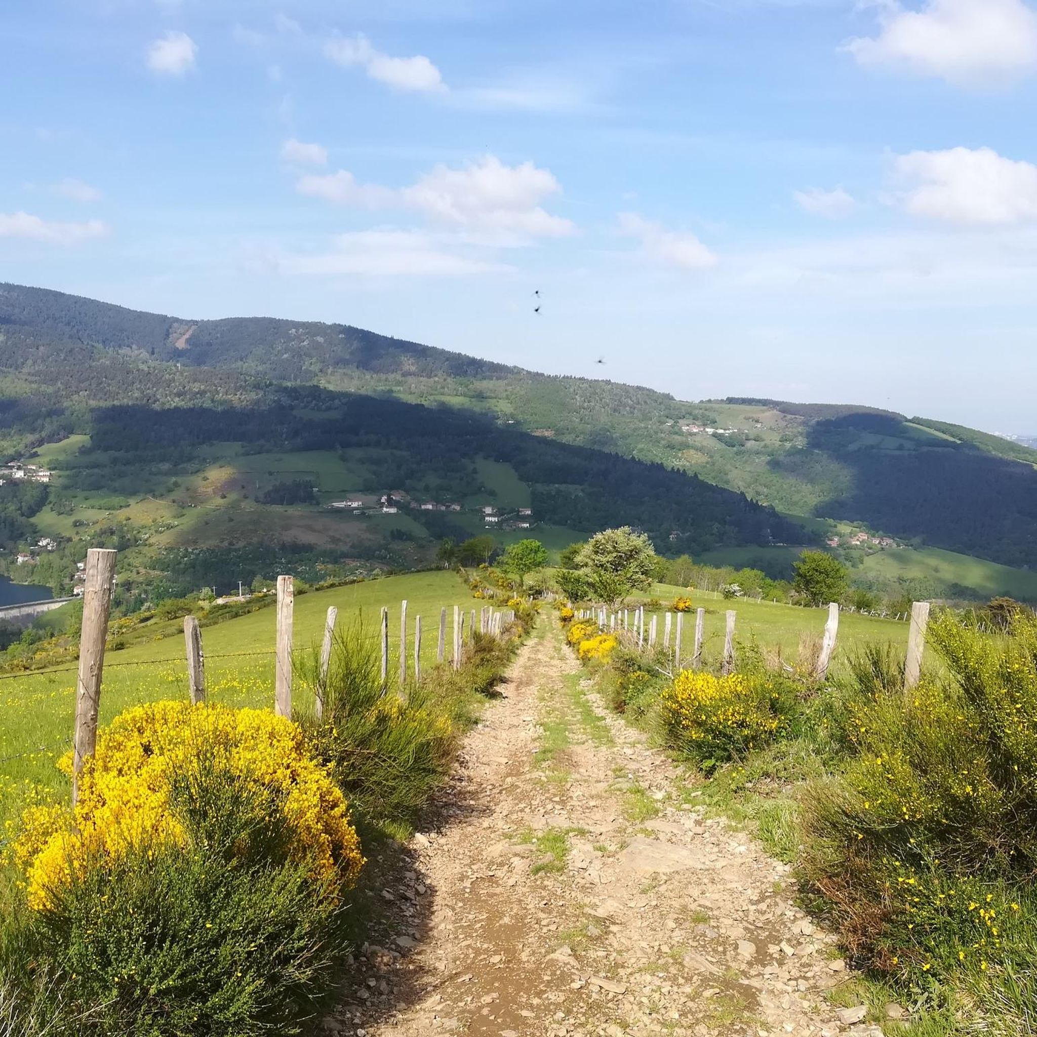
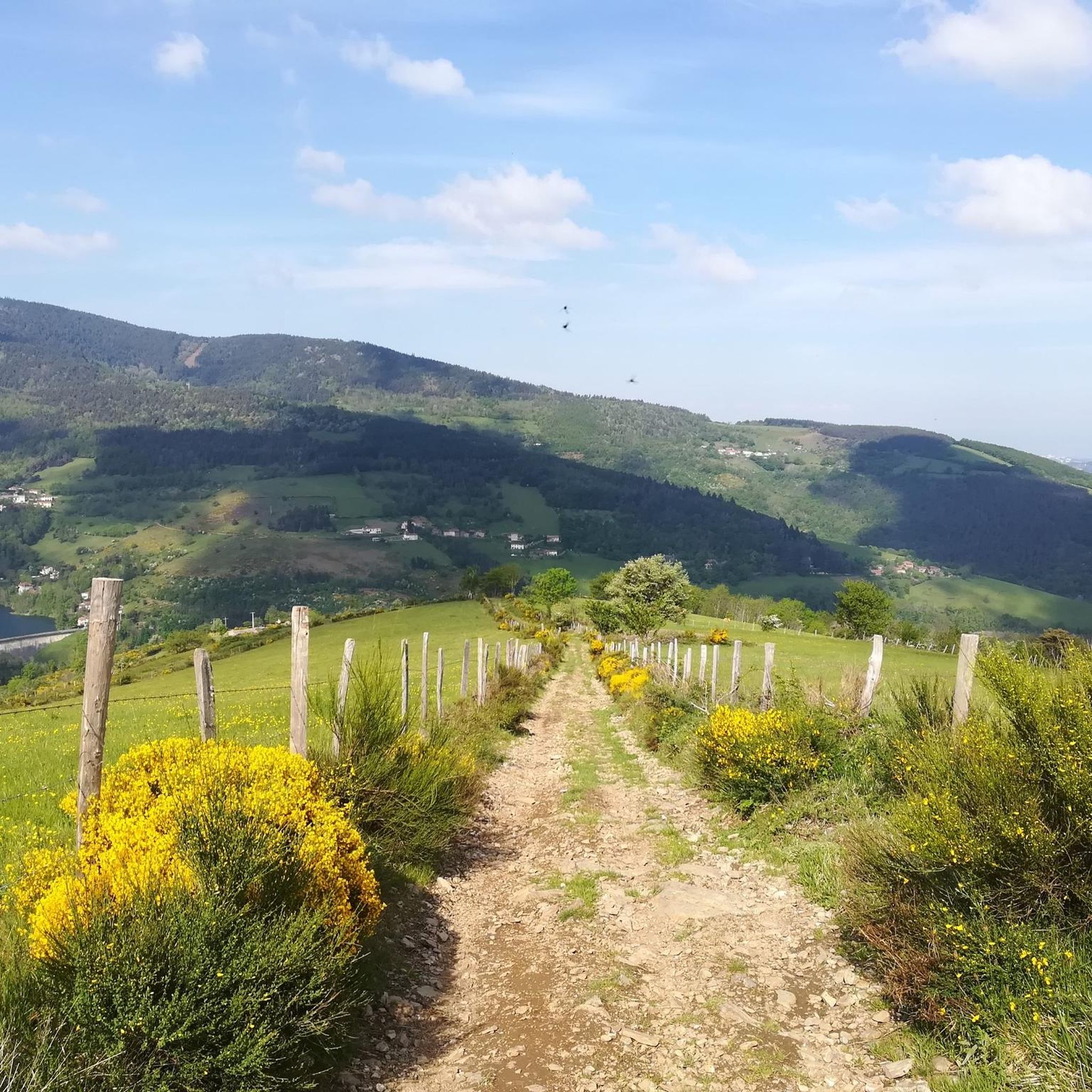
Gravel biking around La Valla-En-Gier offers diverse landscapes within France's Auvergne-Rhône-Alpes region, particularly suited for mixed-terrain cycling. The area is characterized by significant forest coverage and abundant water sources, situated within the Pilat Regional Natural Park. Riders encounter varied topography with notable elevation changes, including routes leading to summits like Crêt de l'Œillon and past natural features such as the Saut du Gier waterfall. The region's extensive network of paths provides a mix of paved and unpaved surfaces, ideal for…
Last updated: July 3, 2026
3.0
(2)
9
riders
30.5km
03:04
930m
930m
Hard gravel ride. Very good fitness required. Mostly paved surfaces. Suitable for all skill levels.
3.0
(2)
9
riders
33.3km
03:17
980m
980m
Hard gravel ride. Very good fitness required. Mostly paved surfaces. Suitable for all skill levels.

Sign up for free
5.0
(2)
10
riders
36.9km
03:13
990m
990m
Hard gravel ride. Very good fitness required. Mostly paved surfaces. Suitable for all skill levels.
5.0
(1)
9
riders
49.8km
04:22
1,180m
1,180m
Hard gravel ride. Very good fitness required. Mostly paved surfaces. Suitable for all skill levels.
1
riders
108km
08:37
2,450m
2,450m
Hard gravel ride. Very good fitness required. Mostly paved surfaces. Suitable for all skill levels.
Get access to more routes and recommendations from other explorers.
Sign up for free
Already have an account?
Our route recommendations are based on thousands of hikes, rides, and runs completed by other people on komoot.
Start today with a free account
Your next adventure awaits.
Login or Signup
Popular around La Valla-En-Gier
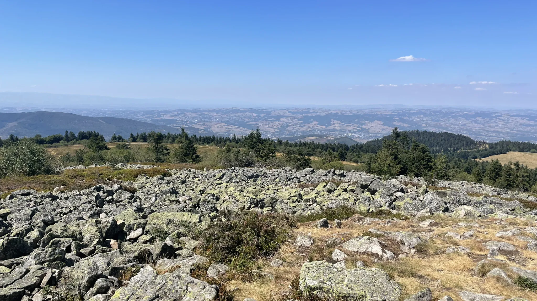
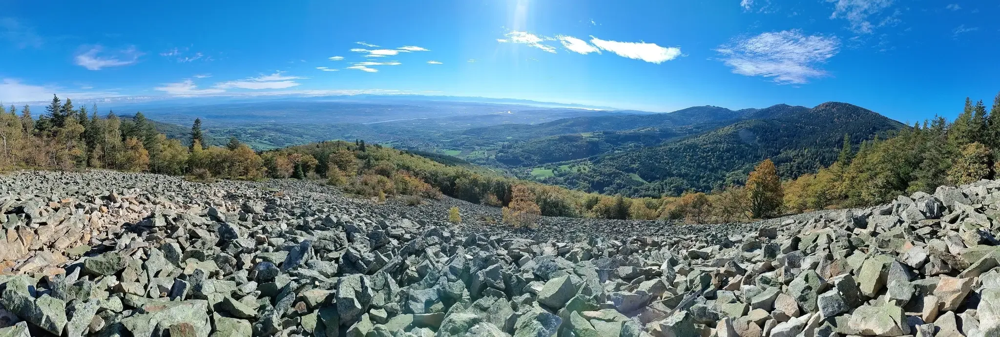
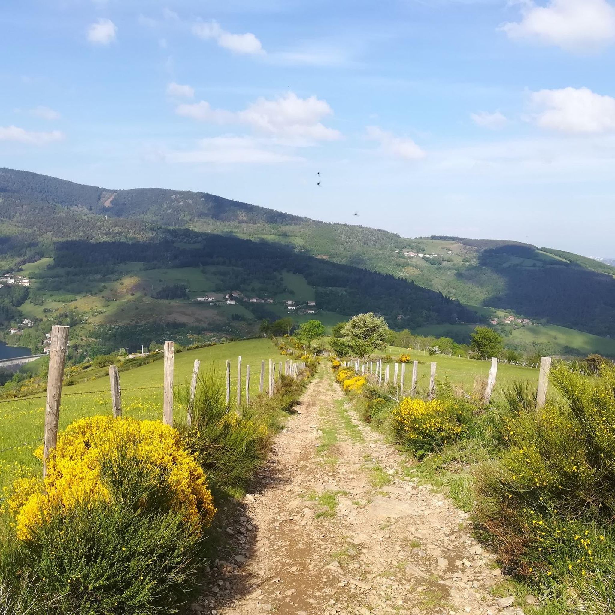
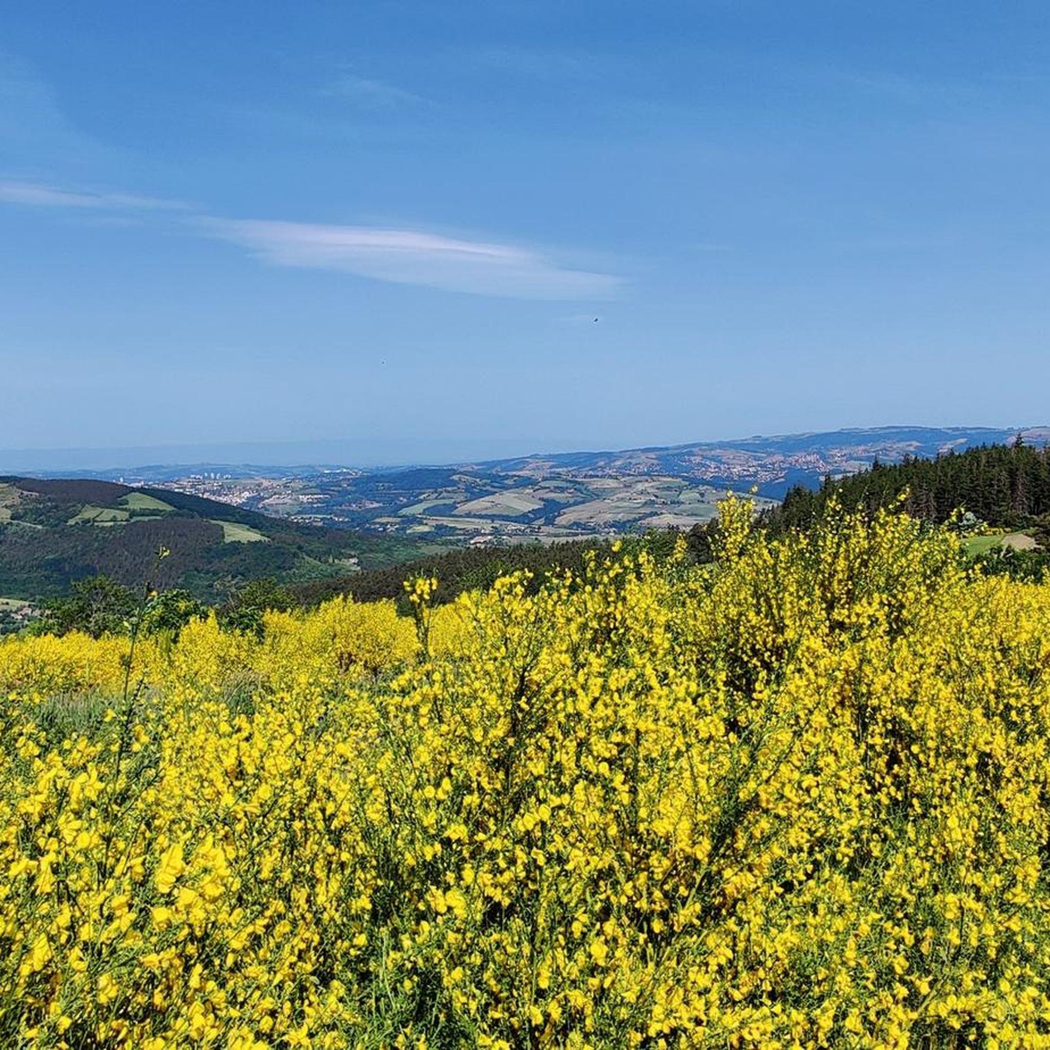

Tips from the Community

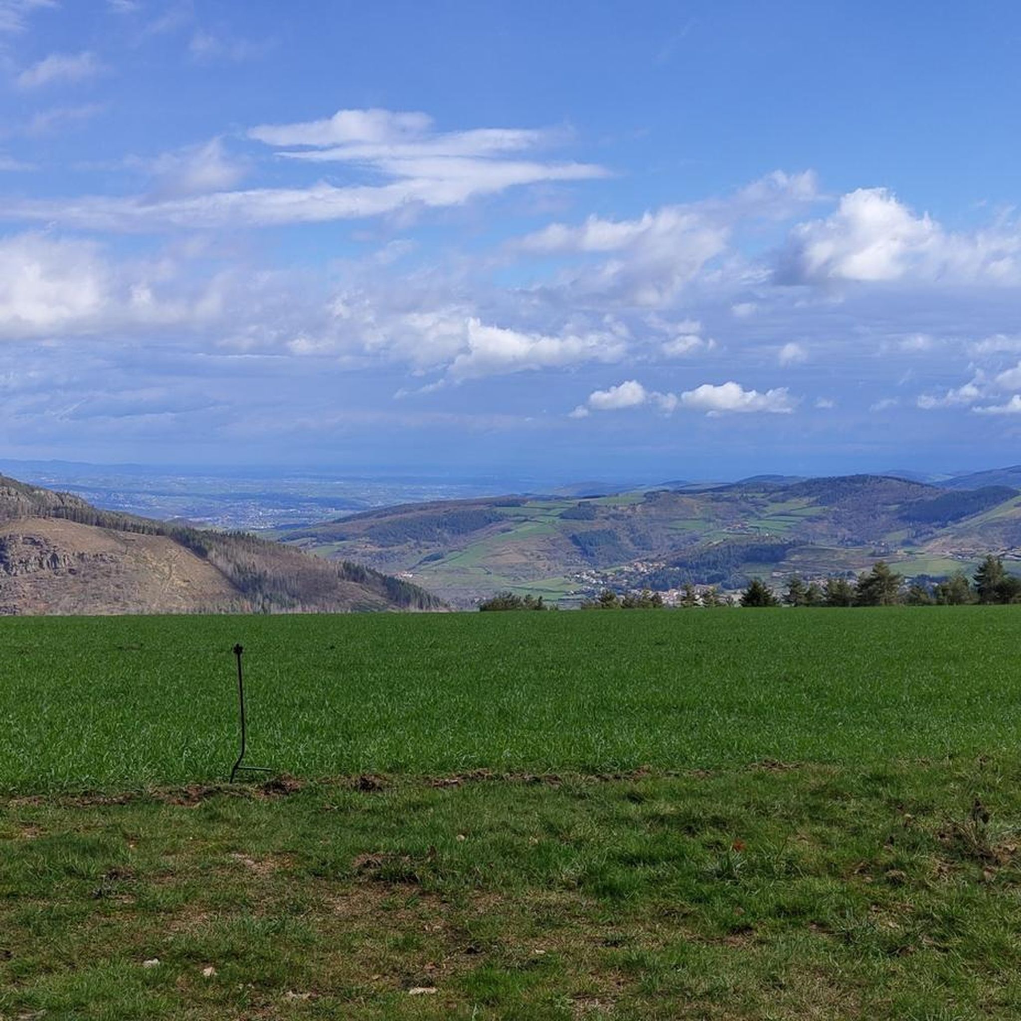
The Col de Pavezin is certainly not the highest, but it is no less mythical. The inventor of the derailleur, Paul de Vivié, who settled here, made it an unmissable rendezvous. The pass is located between the Rhône valley and the Gier valley, and opens up a grandiose panorama of the Alps and the Rhône furrow.
0
0

following the Furan is a "source" of discoveries, dams, aqueduct, penstock...
1
0

Nice route, watch out for the heat in summer...
0
0

The water in the fountain is super fresh, very beautiful view and good refuge
0
0
Very rocky, it hits your legs hard and for a long time Half sunny - half shaded A bit steep, you'll have to pedal to pick up speed In conclusion, very pleasant, but very physical when you want to set a time trial
0
0
THE crossroads of all the walks in the area, with the little refreshing break at the inn, it's perfect (change of owner in progress, for the moment it is closed)
0
0
Frequently Asked Questions
How many gravel bike trails are available in La Valla-En-Gier?
La Valla-En-Gier offers a network of over 30 gravel bike trails. While many are challenging, they provide diverse experiences through the Pilat Regional Natural Park.
What is the typical difficulty level for gravel biking in La Valla-En-Gier?
The gravel biking routes in La Valla-En-Gier are predominantly challenging, with 25 out of 30 routes rated as difficult. Riders should expect significant elevation changes and varied terrain, including forest paths and mountain passes. There are also 5 moderate routes available for those seeking a slightly less intense ride.
Are there any easy gravel bike trails suitable for beginners or families?
While the region is known for its challenging routes, there are 5 moderate gravel trails available. For families or beginners, it's recommended to carefully review route profiles for elevation and distance. The area's topography generally involves considerable elevation gain, making truly 'easy' flat routes less common.
What kind of landscapes and terrain can I expect on the gravel trails?
You can expect a rich variety of landscapes, from dense forest paths and river valleys to routes ascending to mountain passes within the Pilat Regional Natural Park. The terrain is a mix of paved and unpaved surfaces, offering a true gravel biking experience with significant elevation changes and panoramic views, especially from higher points like Crêt de l'Œillon.
Are there any notable landmarks or natural attractions to see along the gravel routes?
Absolutely! The region is rich in natural beauty and historical sites. You can encounter impressive natural landmarks like the Saut du Gier waterfall, or ride towards summits offering sweeping views, such as Crêt de l'Œillon. Historical dams like the Barrage du Gouffre d'Enfer and the Barrage du Pas-du-Riot also offer scenic beauty, particularly in autumn. You might also spot unique geological formations known as 'Les Chirats'.
Can I find circular gravel bike routes in La Valla-En-Gier?
Yes, many of the gravel routes in La Valla-En-Gier are designed as loops, allowing you to start and finish at the same point. Examples include the challenging Wide track on the heights – Col de la Croix du Planil loop from La Terrasse-sur-Dorlay or the La Jasserie Refuge – Col de l'Œillon (1233 m) loop from Colombier.
What is the best time of year for gravel biking in La Valla-En-Gier?
The region offers a 'chlorophyll-filled spectacle' throughout much of the year. Spring and autumn are particularly beautiful, with vibrant foliage and pleasant temperatures. Autumn is especially noted for the changing colors around the historical dams. While summer is also an option, be prepared for warmer temperatures, especially on longer climbs. Winter riding is possible but may involve colder conditions and potential snow at higher elevations.
Is La Valla-En-Gier suitable for dog-friendly gravel biking?
The Pilat Regional Natural Park, where La Valla-En-Gier is located, generally welcomes dogs on trails, provided they are kept on a leash to protect wildlife and ensure the safety of other users. Always check specific trail regulations, especially in protected areas, and ensure your dog is fit for the elevation and distance of your chosen route.
Where can I park my car when planning a gravel bike ride?
Parking is generally available in and around the villages that serve as starting points for many routes, such as La Valla-En-Gier itself or nearby towns like La Terrasse-sur-Dorlay or Colombier. Look for designated parking areas or public spaces, especially near trailheads or village centers.
How can I reach La Valla-En-Gier by public transport for gravel biking?
La Valla-En-Gier is situated in a more rural part of the Auvergne-Rhône-Alpes region. While public transport options might be limited directly to the village, larger nearby towns like Saint-Étienne (which has a train station) could serve as hubs. From there, local bus services or a short taxi ride might be necessary to reach La Valla-En-Gier. Planning your journey in advance is recommended.
What do other gravel bikers enjoy most about riding in La Valla-En-Gier?
The area is highly rated by the komoot community, with an average score of 4.2 stars from over 13 reviews. Reviewers often praise the diverse landscapes, the challenging yet rewarding climbs, and the immersive experience of riding through the dense forests and past natural features within the Pilat Regional Natural Park.
Are there any routes that lead to panoramic viewpoints?
Yes, several routes offer spectacular panoramic views. For instance, the Crêt de l'Oeillon – Col de l'Œillon (1233 m) loop from Tarentaise leads towards Crêt de l'Œillon, which, at 1,364 meters, provides sweeping vistas across the Rhône Valley and, on clear days, even glimpses of the Vercors, Ecrins, and Mont-Blanc mountain ranges.
Most popular routes around La Valla-En-Gier
Most popular attractions around La Valla-En-Gier

Get inspired with the komoot mobile app


Explore more
Browse the best Gravel rides in other regions.
