The best running trails around La Valla-En-Gier
4.5
(131)
4,459
runners
14
runs
Jogging around La Valla-En-Gier offers diverse landscapes within the northern foothills of the Pilat massif. The region is characterized by varied and accentuated terrain, including the industrial Gier valley and the Crêt de la Perdrix. Dense forests, the Gier River with its waterfalls, and several dams contribute to a dynamic environment for running. This area provides significant elevation changes, making it suitable for a robust workout in a natural setting.
Best jogging routes around La Valla-En-Gier
- The most popular jogging…
Last updated: July 1, 2026
35
runners
19.5km
02:49
900m
900m
Hard run. Very good fitness required. Sure-footedness, sturdy shoes and alpine experience required.
22
runners
17.9km
02:26
750m
750m
Hard run. Very good fitness required. Mostly paved surfaces. Suitable for all skill levels.

Sign up for free
4.7
(3)
22
runners
Hard run. Very good fitness required. Mostly accessible paths. Some sure footedness required.
19
runners
6.92km
00:51
120m
120m
Moderate run. Good fitness required. Mostly paved surfaces. Suitable for all skill levels.
12
runners
Hard run. Very good fitness required. Sure-footedness, sturdy shoes and alpine experience required.
Get access to more routes and recommendations from other explorers.
Sign up for free
Already have an account?
Our route recommendations are based on thousands of hikes, rides, and runs completed by other people on komoot.
Start today with a free account
Your next adventure awaits.
Login or Signup
Popular around La Valla-En-Gier
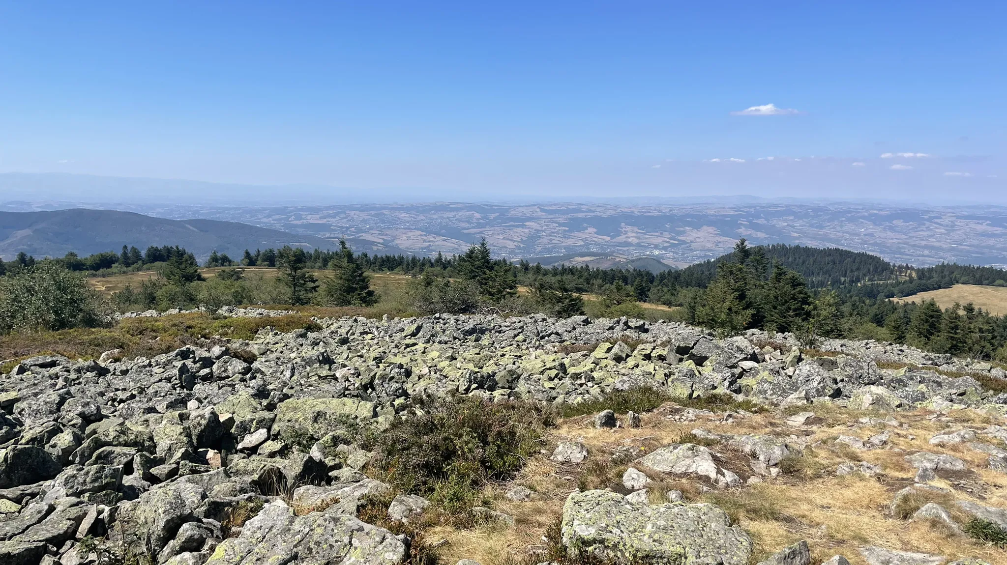
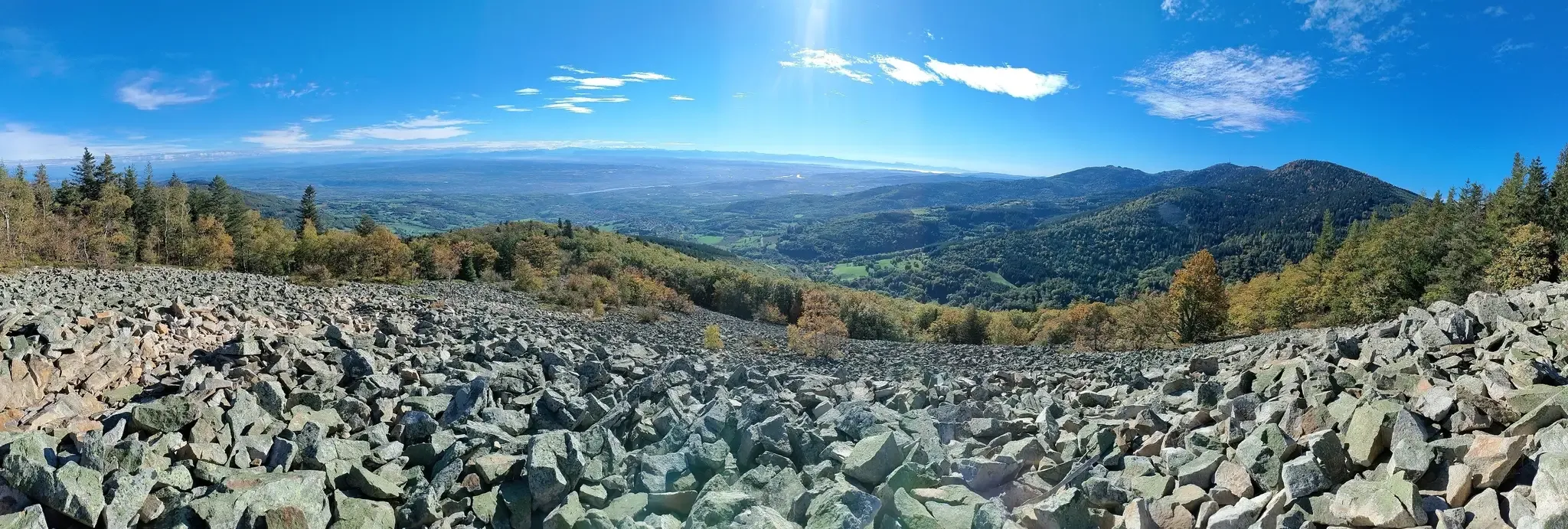
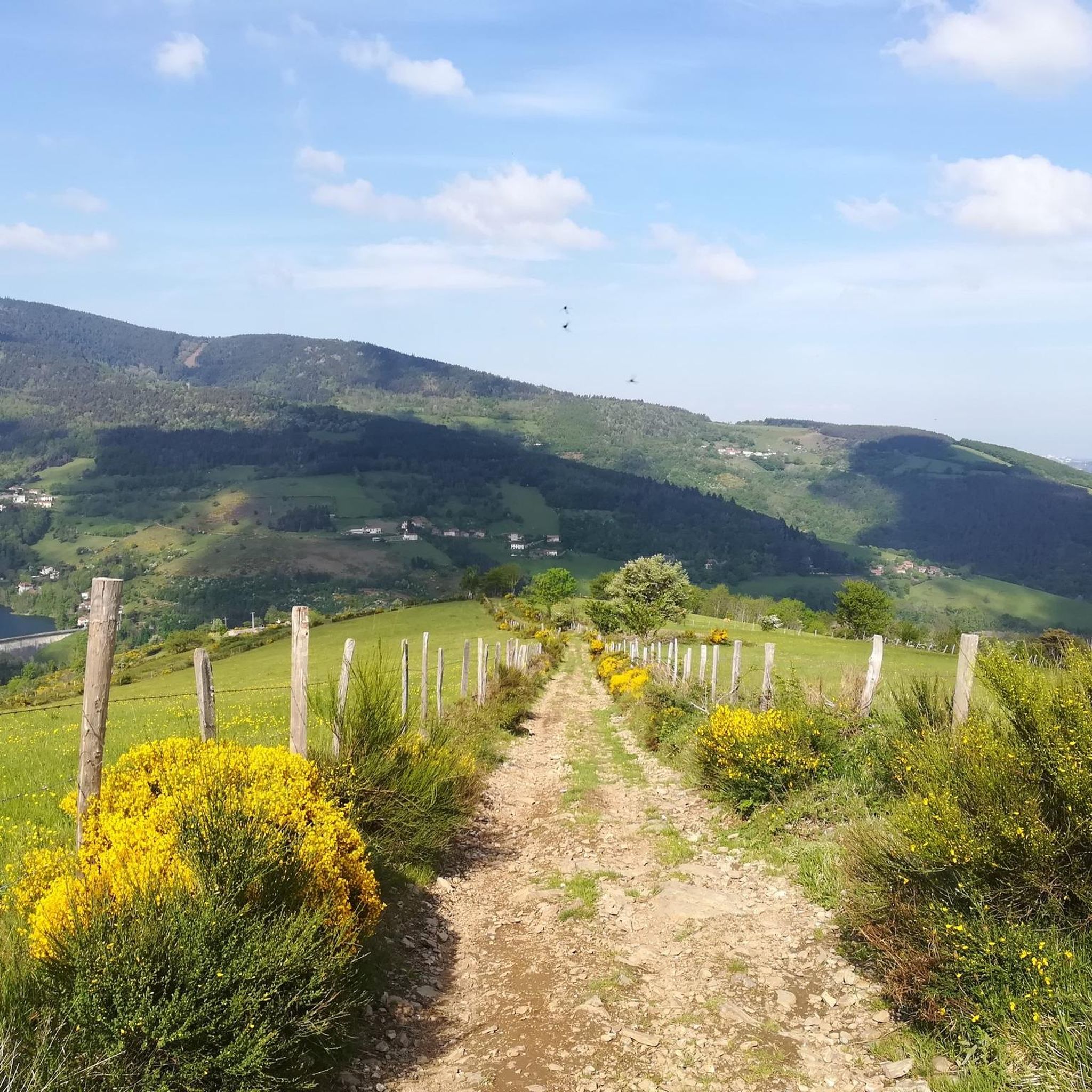
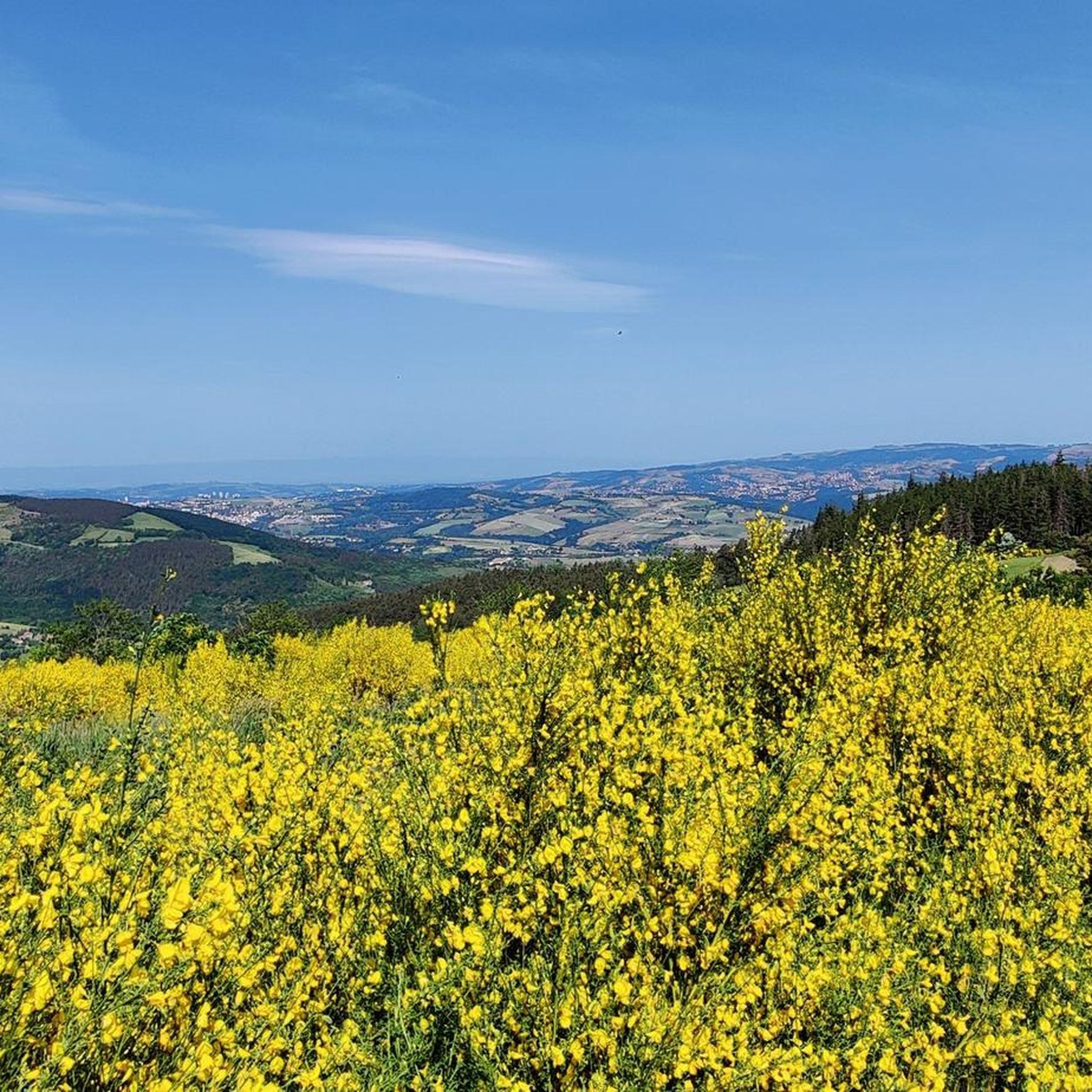
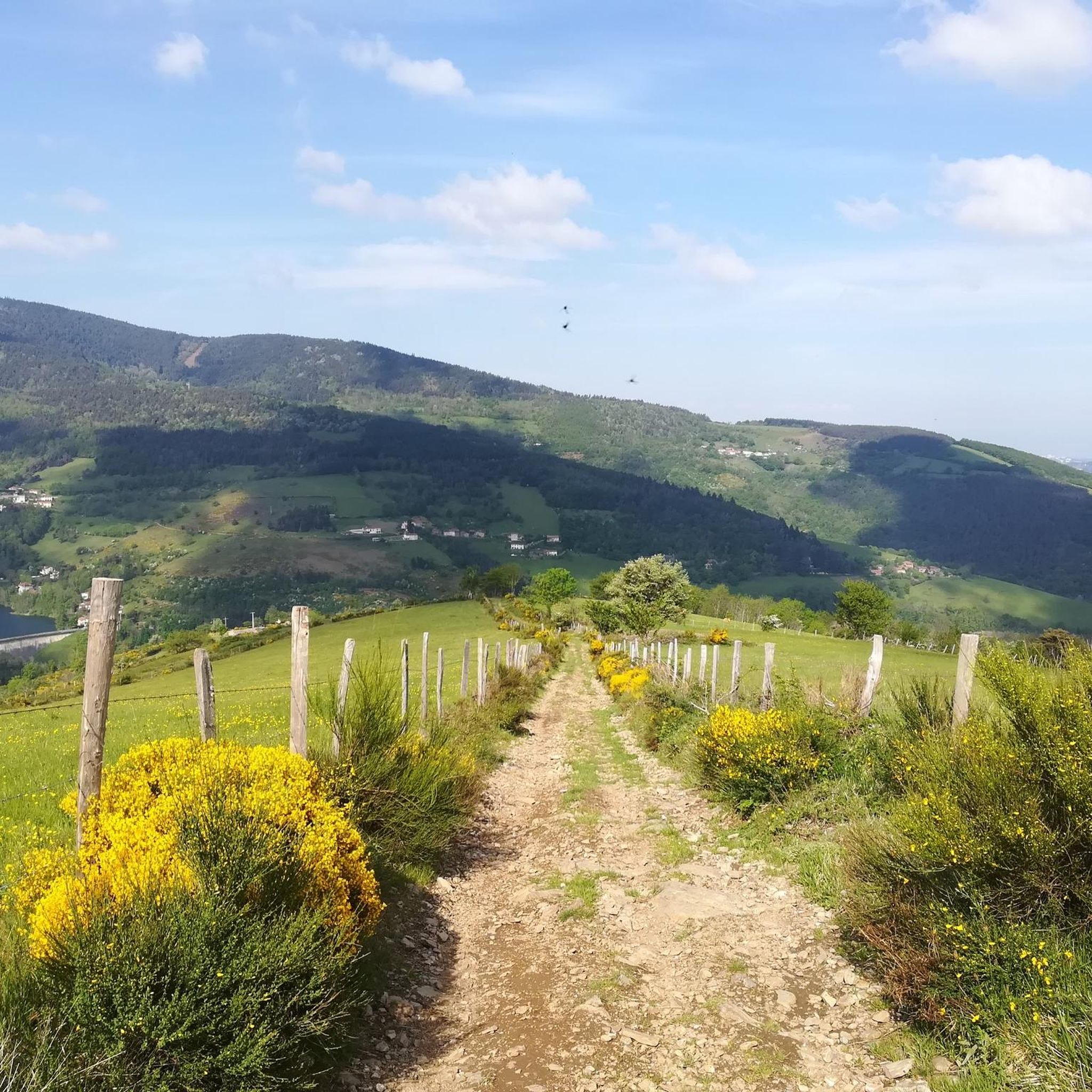
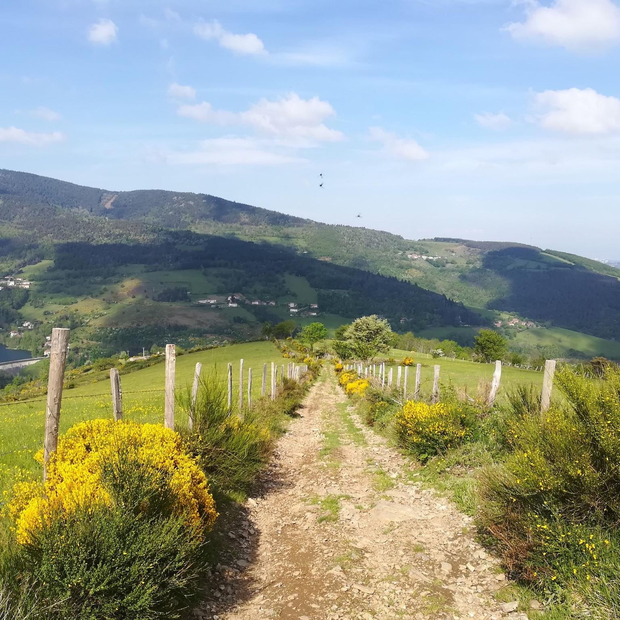


Tips from the Community

Old hotel created in 1898, to treat people with tuberculosis.
0
0

A superb November morning, with a changing mist.
0
0

Arrival at 1361m!: wind 😉
0
0

The water in the fountain is super fresh, very beautiful view and good refuge
0
0

Any self-respecting cyclist must, after reaching the Col de l'Oeillon, continue to the Crêt de l'Oeillon, the true summit and final objective of this climb!
0
0

Don’t hesitate to go to the Chirat side to enjoy the orientation table and the view over the Rhone valley.
0
0
Frequently Asked Questions
How many running routes are available around La Valla-en-Gier?
There are over 15 dedicated running routes around La Valla-en-Gier listed on komoot, offering a variety of experiences. These routes are highly rated by the komoot community, with an average score of 4.5 stars from over 120 reviews.
What kind of terrain can I expect on the jogging trails in La Valla-en-Gier?
The terrain around La Valla-en-Gier is quite varied and accentuated, situated on the northern foothills of the Pilat massif. You'll encounter significant elevation changes, dense forests, and paths along the Gier River and several scenic dams. This diverse landscape provides a robust workout in a natural setting.
Are there any easy or beginner-friendly jogging routes in the area?
Yes, while many routes offer challenging climbs, there are options for all fitness levels. You can find routes up to 3 miles with 330 ft of elevation gain that are suitable for beginners. For example, there is at least one easy route and three moderate routes available, alongside more difficult options.
Can I find long-distance running trails in La Valla-en-Gier?
Absolutely. The region is ideal for longer runs, with many routes exceeding 10 miles. For instance, the Partridge Peak loop from Pilat is an 11.3-mile trail, and the Crêt de la Perdrix – La Jasserie Refuge loop from Pilat covers 11.1 miles, both offering demanding yet rewarding experiences.
Are there any circular running routes available?
Yes, many of the running trails around La Valla-en-Gier are circular, allowing you to start and finish at the same point. Examples include the Crêt de l'Œillon – Crêt de la Botte loop from Parc naturel régional du Pilat, which is a 9.0-mile loop, and the The Croix du Planil – Circuit de la Barollière loop from Pilat, a moderate 7 km route.
What natural attractions or landmarks can I see while running in La Valla-en-Gier?
The area is rich in natural beauty. You can run past impressive features like the Gouffre d'Enfer Dam, one of Europe's first arched gravity dams, or explore trails leading to the dramatic Saut du Gier waterfall. The Pilat Regional Natural Park also features summits like Crêt de l'Œillon and Crêt de la Perdrix, offering panoramic views.
Are there any trails that pass by dams or reservoirs?
Yes, the region overlooks several dams, including La Rive, Piney, and Soulages. The Gouffre d'Enfer Dam is a particularly scenic spot, especially in autumn. Many trails, such as the Barrages des Rive et Soulages loop, offer beautiful views of these reservoirs.
Is La Valla-en-Gier suitable for family-friendly running or walks?
While many routes involve significant elevation, there are easier sections and shorter trails that can be suitable for families. The diverse network offers options for different ability levels, so you can choose paths that align with your family's fitness. Look for routes with less elevation gain for a more relaxed experience.
What is the best time of year to go jogging in La Valla-en-Gier?
The Pilat Regional Natural Park offers a refreshing environment year-round. Spring and autumn are particularly beautiful, with lush greenery or vibrant fall colors. The dense forests provide shade in summer, and the clean air is beneficial for outdoor activities. Winter jogging is also possible, but be prepared for potentially colder conditions and check trail conditions.
Are dogs allowed on the running trails in the Pilat Regional Natural Park?
The Pilat Regional Natural Park generally welcomes dogs, but it's important to keep them on a leash, especially in protected areas, near livestock, or during nesting seasons for wildlife. Always ensure your dog is well-behaved and that you clean up after them to preserve the natural environment for everyone.
Where can I find parking for the running routes?
Parking is typically available at common starting points for trails within the Pilat Regional Natural Park and near villages like La Valla-en-Gier. Specific parking information can often be found on individual route descriptions or local tourism websites. It's advisable to check the starting point of your chosen route for designated parking areas.
Can I access the running trails using public transport?
Access to trails via public transport can vary. While La Valla-en-Gier is a commune, direct public transport links to specific trailheads might be limited. It's best to research local bus services or regional transport options that connect to the village or nearby towns, and then plan your route accordingly from there.
Most popular routes around La Valla-En-Gier
Most popular attractions around La Valla-En-Gier

Get inspired with the komoot mobile app


Explore more
Browse the best Running Trails & Routes in other regions.
