The best walks and hikes around La Valla-En-Gier
4.5
(1002)
6,462
hikers
85
hikes
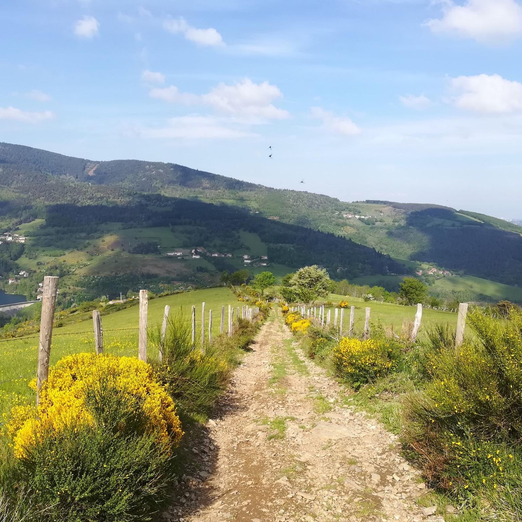
Hiking around La Valla-En-Gier offers diverse terrain within the northern foothills of the Pilat massif, part of the Pilat Regional Natural Park. The region features pronounced relief, situated between the deeply incised valleys of the Gier and Ban rivers. Extensive forests provide shaded paths, while numerous dams, rivers, and waterfalls, including Le Saut du Gier, add to the varied landscape. This topography creates a range of hiking experiences for outdoor enthusiasts.
Best hiking trails in La Valla-en-Gier
- The most popular…
Last updated: July 7, 2026
4.7
(210)
1,421
hikers
10.1km
02:55
260m
250m
Moderate hike. Good fitness required. Easily-accessible paths. Suitable for all skill levels.
4.7
(177)
1,210
hikers
9.55km
02:43
220m
220m
Moderate hike. Good fitness required. Easily-accessible paths. Suitable for all skill levels.

Sign up for free
4.6
(23)
117
hikers
8.62km
02:31
210m
210m
Moderate hike. Good fitness required. Easily-accessible paths. Suitable for all skill levels.
4.6
(24)
115
hikers
7.90km
02:10
120m
120m
Moderate hike. Good fitness required. Easily-accessible paths. Suitable for all skill levels.
4.5
(13)
47
hikers
17.1km
05:55
890m
890m
Hard hike. Very good fitness required. Sure-footedness, sturdy shoes and alpine experience required.
Get access to more routes and recommendations from other explorers.
Sign up for free
Already have an account?
Our route recommendations are based on thousands of hikes, rides, and runs completed by other people on komoot.
Start today with a free account
Your next adventure awaits.
Login or Signup
Popular around La Valla-En-Gier


Tips from the Community

Very nice but does not deserve its easy trail status.
0
0

A superb November morning, with a changing mist.
0
0

magnificent with a small, rather steep passage (good shoes recommended)
0
0

Any self-respecting cyclist must, after reaching the Col de l'Oeillon, continue to the Crêt de l'Oeillon, the true summit and final objective of this climb!
0
0

nice hike to escape the heat of Lyon
0
0

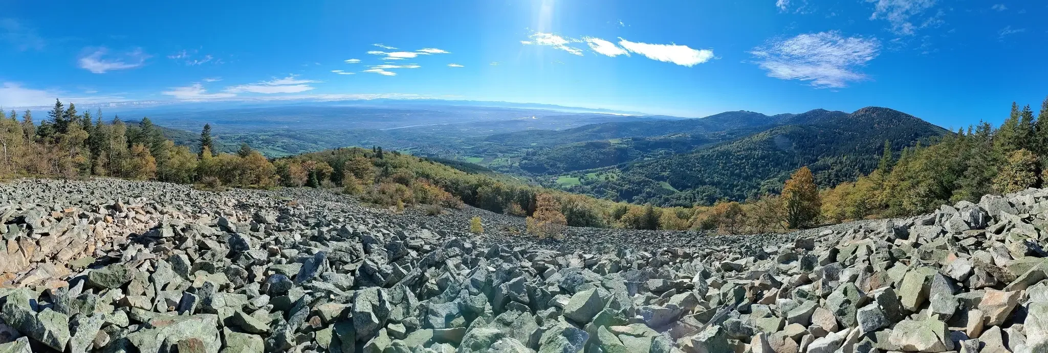
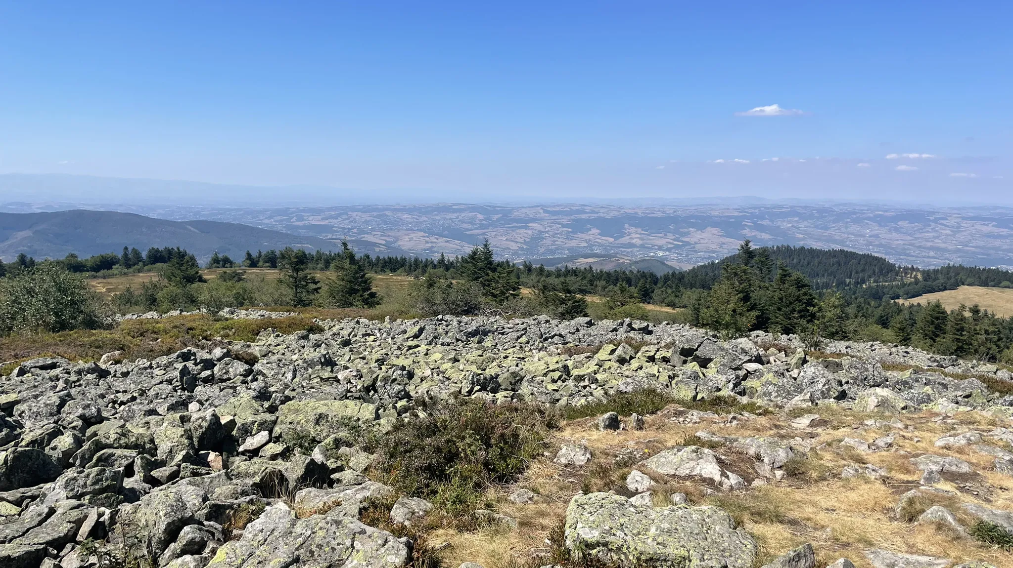
The second most remarkable summit of the Pilat behind the Crêt de la Perdrix, this giant of gneiss and granite reveals, from its height of 1,364 meters, its trump card: a bird's-eye view of the Pic des Trois dents and the valley of the Rhône which extends at its feet. On a clear day, the gaze wanders to strange apparitions which imprint their reliefs on the horizon line: the Vercors mountains, the Ecrins and the Mont-Blanc range, for a natural spectacle that is both unreal and majestic.
2
0
Frequently Asked Questions
How many hiking trails are available around La Valla-en-Gier?
La Valla-en-Gier offers a wide network of trails, with over 80 hiking routes available on komoot. These range from easy strolls to more challenging treks, catering to various fitness levels.
Are there any easy hiking trails suitable for beginners or families in La Valla-en-Gier?
Yes, La Valla-en-Gier has a good selection of easier trails. Approximately 34 routes are classified as easy, perfect for beginners or families looking for a relaxed outdoor experience. These often feature gentler terrain and shorter distances.
Can I find circular hiking routes in La Valla-en-Gier?
Yes, the region is well-suited for circular hikes. The municipality has developed four distinct looped trails, each exploring a different valley (Val du Ban, Val du Jarret, Val Haut/La Fare, Val du Gier), all conveniently starting and ending in the village. Many of the routes on komoot are also circular, such as the popular Soulages dams and Rive dam loop.
Are there any hikes that feature waterfalls in La Valla-en-Gier?
Absolutely. The landscape is rich with water features, including impressive waterfalls. The most notable is Le Saut du Gier, where the Gier river plunges into a gorge. You can experience this natural wonder on the challenging Le Saut du Gier trail.
What kind of views can I expect on hikes in La Valla-en-Gier?
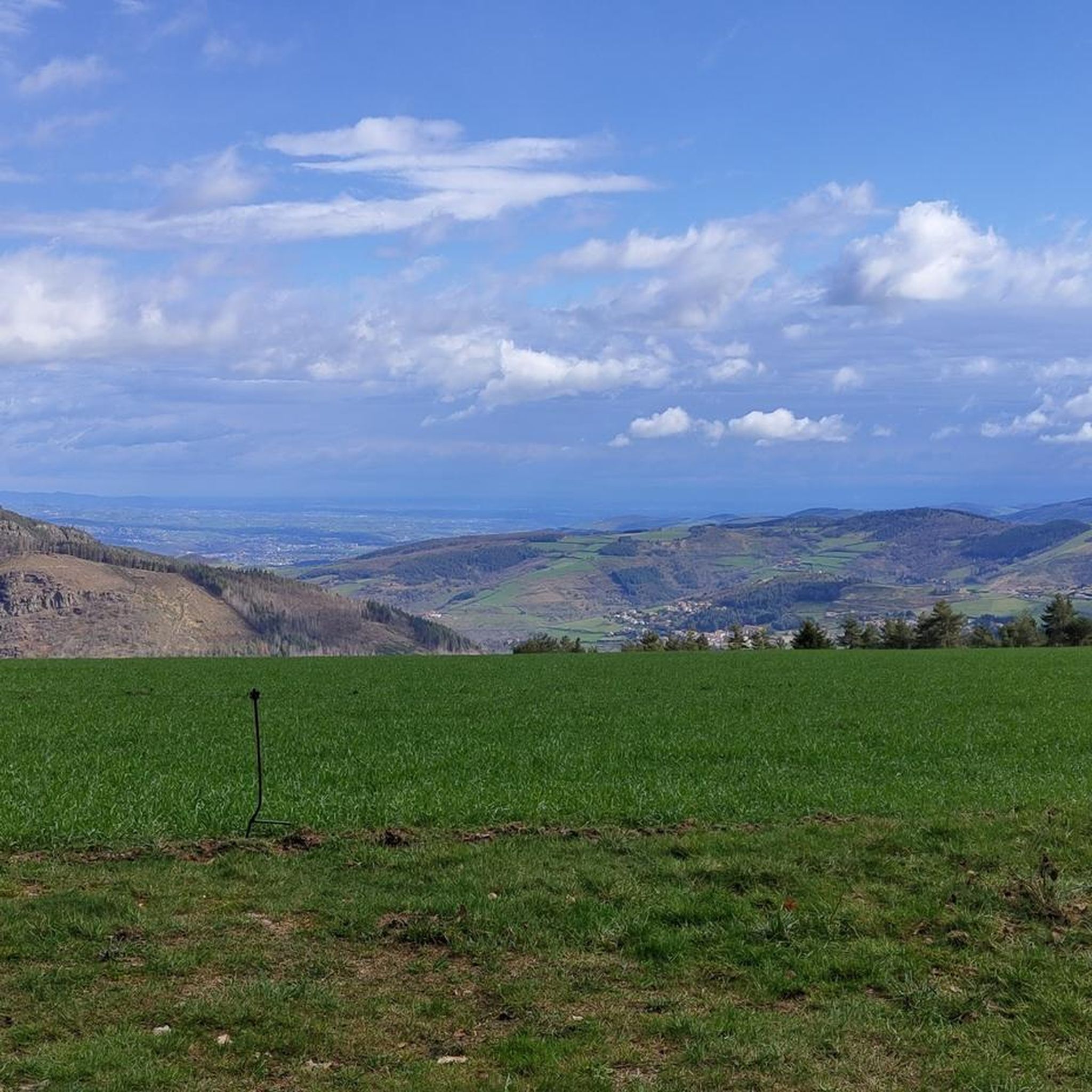
Hiking in La Valla-en-Gier offers diverse and striking views. Located within the Pilat Regional Natural Park, you can expect panoramic vistas across the Rhône Valley and even the distant Alps from higher points. Trails like the Pilat Crests Trail are particularly known for their expansive scenery.
Are there any challenging trails for experienced hikers in the area?
Yes, for experienced hikers seeking a challenge, La Valla-en-Gier offers several demanding routes. There are 17 difficult trails available, such as the 17.1 km Le Saut du Gier trail, which features significant elevation gain and varied terrain.
What natural landmarks or points of interest can I see while hiking?
The region is rich in natural landmarks. You can explore majestic peaks like Crêt de l'Œillon and Crêt de la Perdrix, offering superb views. The area also features numerous dams and reservoirs, such as the Soulages Dam and Cotatay Dam, which are often part of scenic routes.
What do other hikers enjoy most about hiking in La Valla-en-Gier?
The hiking experiences in La Valla-en-Gier are highly rated by the komoot community, with an average score of 4.5 stars from over 800 reviews. Hikers often praise the diverse terrain, the beautiful forest crossings, and the stunning panoramic views from the Crêts.
Are there any hikes that pass by dams or reservoirs?
Yes, the landscape around La Valla-en-Gier is dotted with dams and reservoirs, providing scenic backdrops for hikes. A popular route that showcases these features is the Tour of the Soulages and Rive Dams, offering pleasant views of the water bodies.
Is public transport available to access hiking trails in La Valla-en-Gier?
La Valla-en-Gier is a village within the Pilat Regional Natural Park. While specific public transport links directly to trailheads might be limited, the village itself serves as a starting point for many local loops. For detailed public transport options to reach the village, it's advisable to check regional transport services.
What is the best time of year to hike in La Valla-en-Gier?
The extensive forests in the region offer cool and shaded paths, making hiking enjoyable even during warmer months. However, the diverse terrain and panoramic views are particularly stunning in spring and autumn when the foliage changes. Winter hiking is also possible, but some higher altitude trails may require appropriate gear and conditions should be checked.
Most popular routes around La Valla-En-Gier
Most popular attractions around La Valla-En-Gier

Get inspired with the komoot mobile app


Explore more
Browse the best Hikes in other regions.
