The best gravel rides around Saint-Romain-Les-Atheux
4.5
(13)
87
riders
29
rides
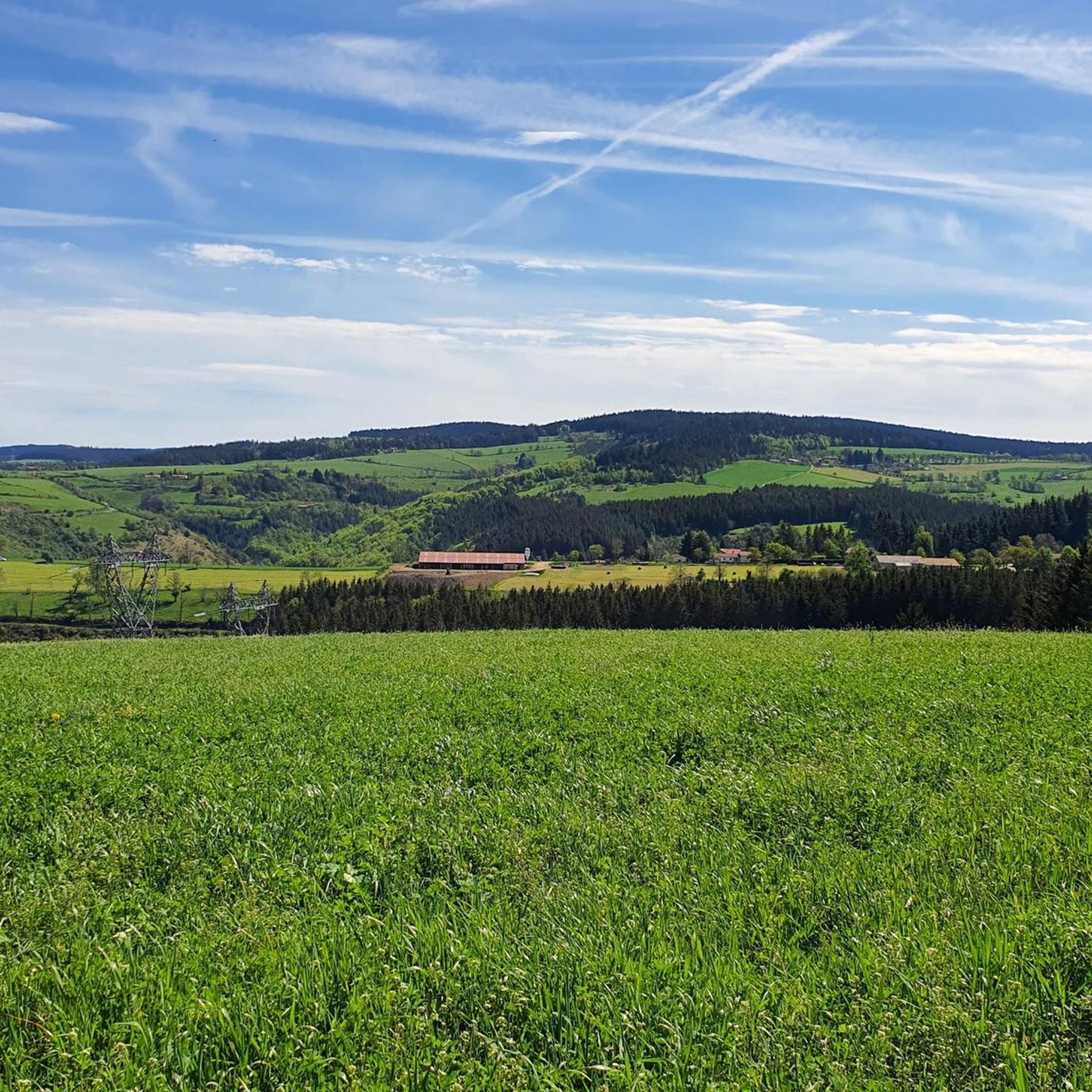
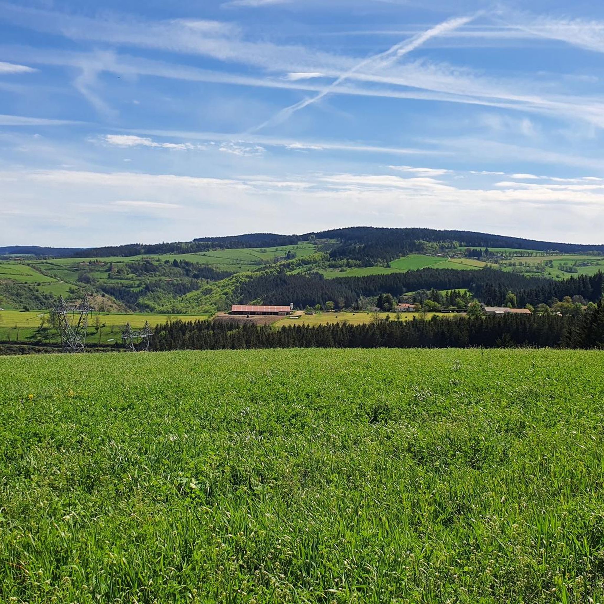
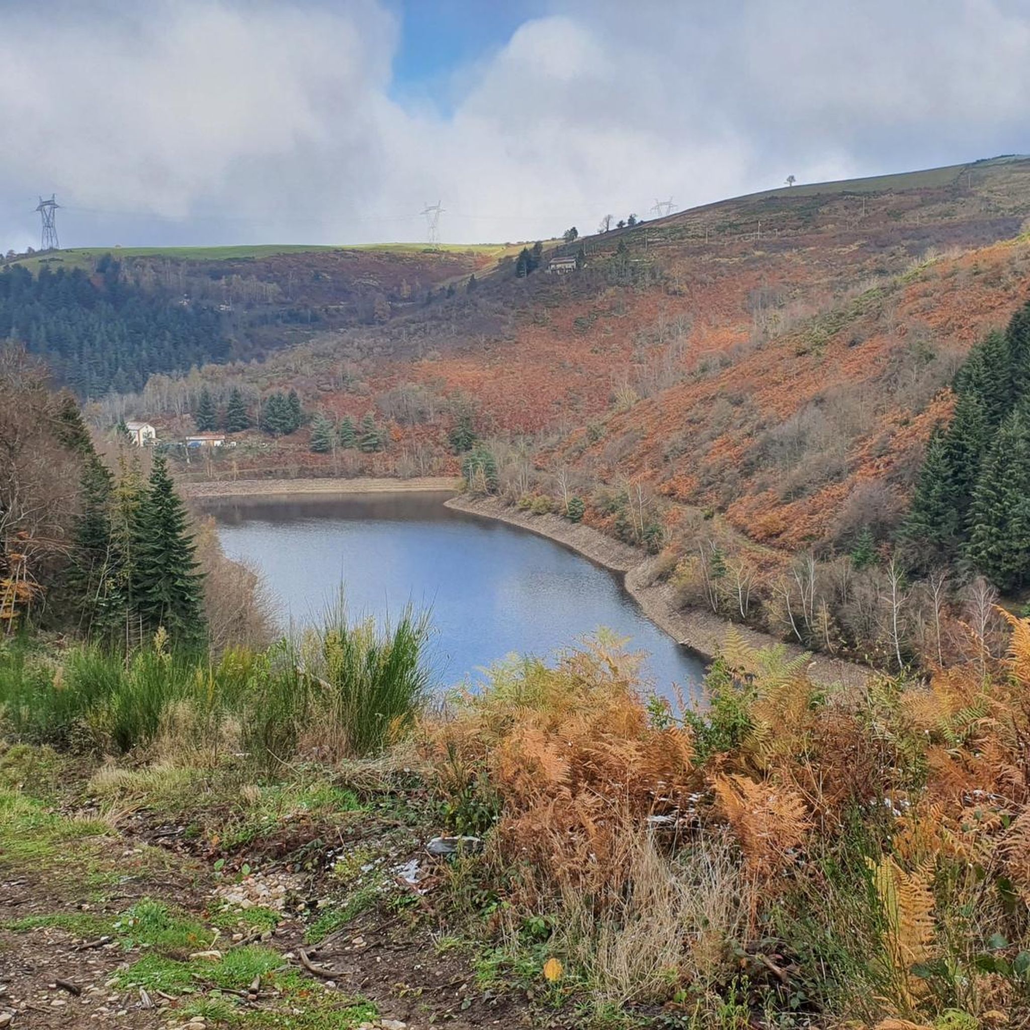
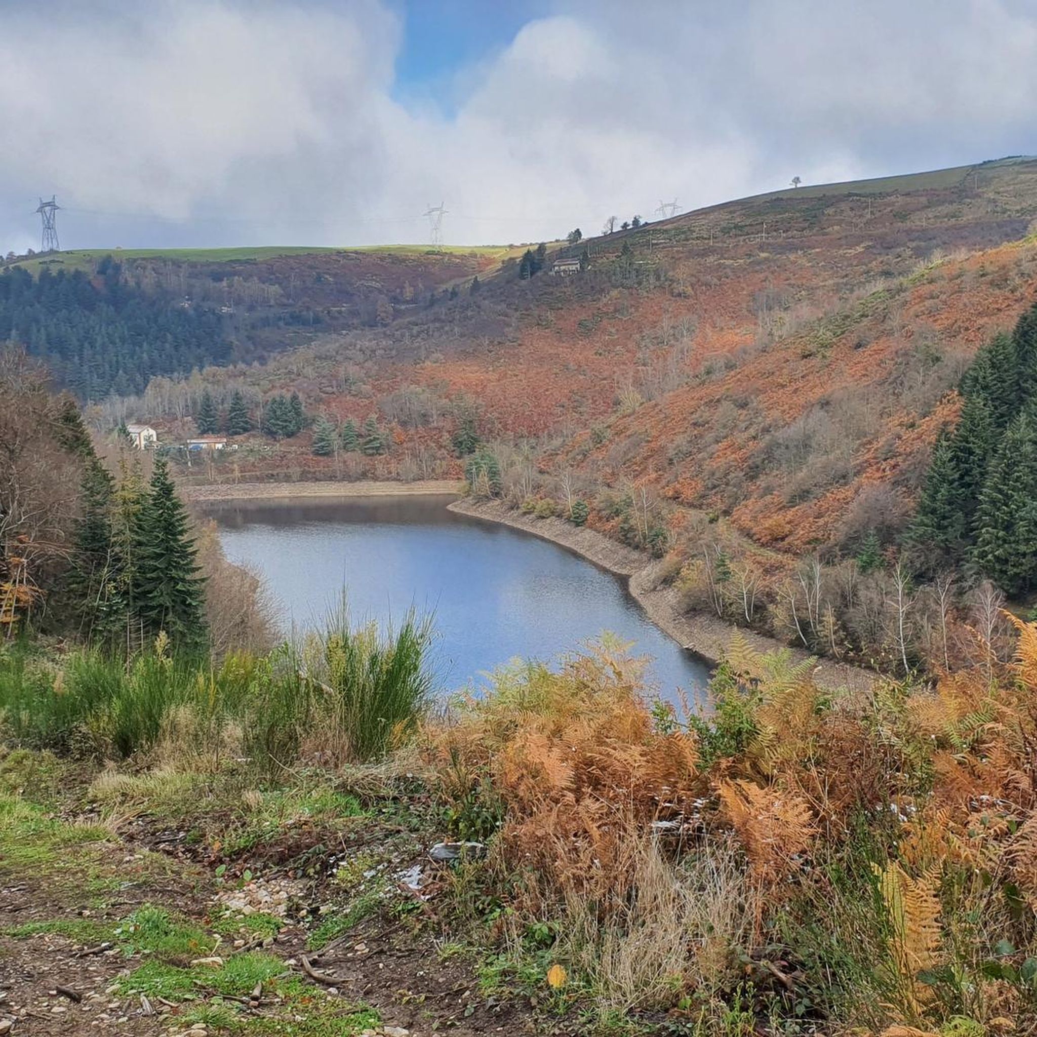
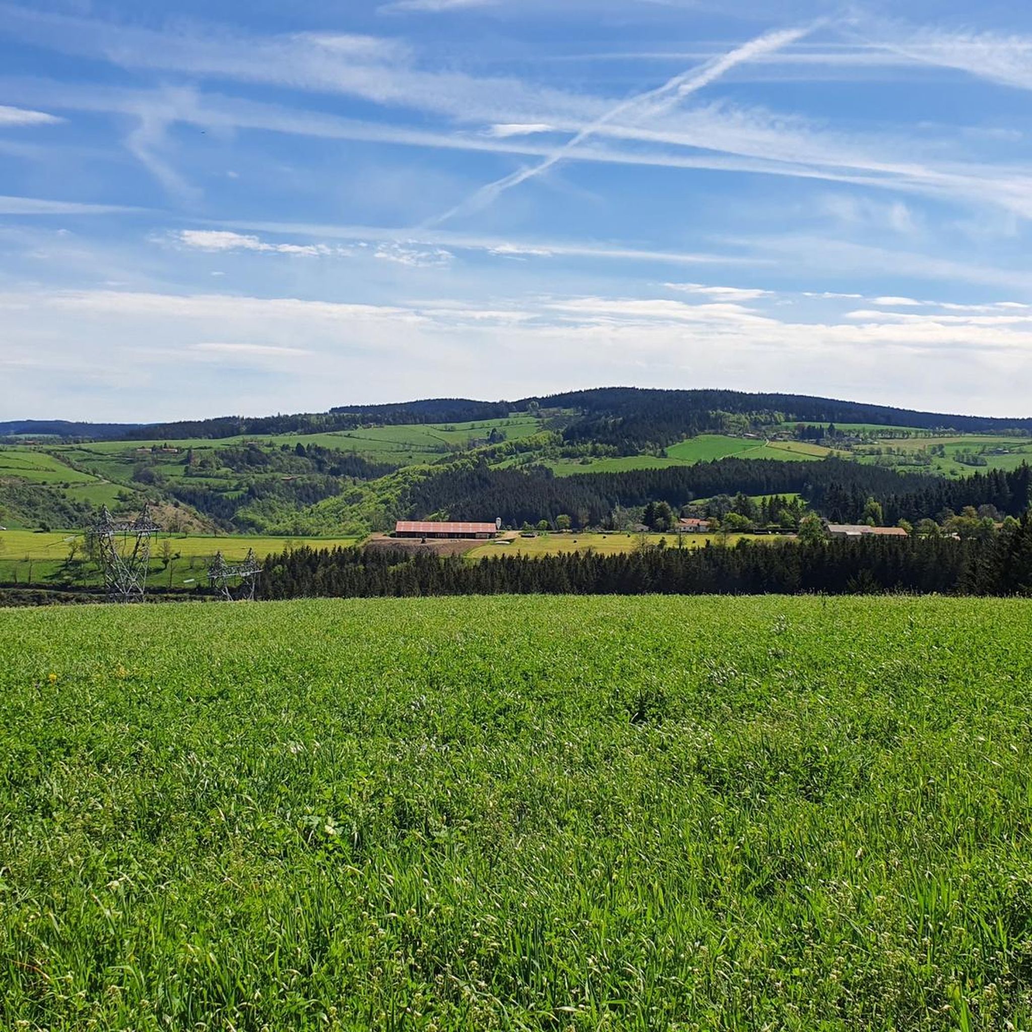
Gravel biking around Saint-Romain-Les-Atheux offers diverse terrain within France's Auvergne-Rhône-Alpes region, situated on the western edge of the Pilat Natural Park. The area features a significant elevation range, from 635 meters to 983 meters, creating dynamic landscapes with high plateaus and deeply cut valleys. This topography includes a mix of deciduous and coniferous forests, alongside scenic valleys and dam-fed lakes, providing varied surfaces for gravel cycling.
Best gravel bike trails around Saint-Romain-Les-Atheux
- The most popular gravel bike trail is The…
Last updated: July 3, 2026
5.0
(1)
9
riders
49.8km
04:22
1,180m
1,180m
Hard gravel ride. Very good fitness required. Mostly paved surfaces. Suitable for all skill levels.
12
riders
33.4km
02:24
540m
540m
Hard gravel ride. Very good fitness required. Mostly paved surfaces. Suitable for all skill levels.

Sign up for free
4.8
(4)
8
riders
39.1km
03:17
1,010m
1,010m
Hard gravel ride. Very good fitness required. Mostly paved surfaces. Suitable for all skill levels.
5.0
(1)
9
riders
37.6km
02:36
730m
730m
Hard gravel ride. Very good fitness required. Mostly paved surfaces. Suitable for all skill levels.
6
riders
60.5km
04:59
1,220m
1,220m
Hard gravel ride. Very good fitness required. Mostly paved surfaces. Suitable for all skill levels.
Get access to more routes and recommendations from other explorers.
Sign up for free
Already have an account?
Our route recommendations are based on thousands of hikes, rides, and runs completed by other people on komoot.
Start today with a free account
Your next adventure awaits.
Login or Signup
Tips from the Community

following the Furan is a "source" of discoveries, dams, aqueduct, penstock...
1
0
Great view from Essalois castle.
0
0


A wonderful place for a walk. You can have a drink at La Chaumière.
0
0
Very good inn with Saint-Etienne specialties. Drinking water point nearby
0
0
Frequently Asked Questions
How many gravel bike trails are available around Saint-Romain-Les-Atheux?
There are over 35 gravel bike routes in the Saint-Romain-Les-Atheux area, offering a wide range of options for cyclists. Most of these routes are categorized as difficult, providing a good challenge for experienced riders.
What kind of terrain can I expect on gravel bike trails in Saint-Romain-Les-Atheux?
The terrain is highly varied, thanks to its location on the edge of the Pilat Natural Park. You'll encounter significant elevation changes, from 635 meters to 983 meters, leading to dynamic landscapes with high plateaus and deeply cut valleys. Expect a mix of deciduous and coniferous forests, along with scenic valleys and dam-fed lakes, providing diverse surfaces for gravel cycling.
Are there any family-friendly gravel biking options in Saint-Romain-Les-Atheux?
While many routes in the area are rated as difficult, there are 8 moderate routes that might be more suitable for families or those looking for a less strenuous ride. These routes still offer the beautiful scenery of the Pilat Natural Park but with more manageable distances and elevation gains. Always check the specific route details on komoot for the most up-to-date information on difficulty and suitability.
What are some notable landmarks or attractions I might see along the gravel trails?
The region is rich in natural and historical sights. You might encounter impressive structures like the Gouffre d'Enfer Dam or the Pas-du-Riot Dam. Historical points of interest include Rochetaillée Castle. For natural beauty, look out for the Crêt de Chaussître summit or the unique Gimel Peat Bogs.
Can I find circular gravel bike routes in the area?
Yes, many of the gravel routes around Saint-Romain-Les-Atheux are designed as loops, allowing you to start and finish at the same point. For example, the challenging Essalois Castle – Essalois Castle loop from Saint-Genest-Lerpt is a popular circular option, as is the Château de Duby loop from Saint-Victor-Malescours.
What do other gravel bikers enjoy most about riding in Saint-Romain-Les-Atheux?
The area is highly rated by the komoot community, with an average score of 4.25 stars from over 10 reviews. Cyclists often praise the diverse topography, the challenging climbs, and the beautiful, natural environment of the Pilat Natural Park. The mix of forest roads, plateau tracks, and scenic dam views are frequently highlighted.
Are there any long-distance gravel routes for experienced riders?
Absolutely. For experienced riders seeking a significant challenge, routes like Les Pierres de Gimel – Souvignet bridge loop from Jonzieux cover nearly 58 km with substantial elevation gain, offering a full day's adventure. Another demanding option is The pit of hell – Chaubouret Cross loop from Saint-Étienne Châteaucreux, which is almost 50 km long with over 1100 meters of ascent.
Is it possible to access the trails using public transport, or is parking available?
While Saint-Romain-Les-Atheux is a rural commune, its proximity to larger towns like Saint-Étienne means public transport might get you close. However, for direct access to trailheads, driving and parking are generally the most convenient options. Many routes start from nearby villages or specific points within the Pilat Natural Park where parking is available. Always check the starting point of your chosen route for specific parking information.
Are there any picnic spots or places to rest along the trails?
Yes, the region is well-equipped for outdoor activities. The Pilat Natural Park, which borders Saint-Romain-Les-Atheux, features designated picnic areas. For example, there's a convenient picnic area near the pond of Le Pêcher in Saint-Romain-Les-Atheux itself, perfect for a break during your ride. You can find more details on local picnic spots at pilat-tourisme.fr.
What is the best season for gravel biking in Saint-Romain-Les-Atheux?
The varied topography and natural features of Saint-Romain-Les-Atheux make it enjoyable across multiple seasons. Spring and autumn offer pleasant temperatures and beautiful foliage, while summer provides longer daylight hours. Winter can be challenging due to higher altitudes and potential snow, but some lower-elevation routes might still be accessible. Always check local weather conditions before heading out.
Are there any routes that feature water bodies like rivers or lakes?
Yes, the commune is situated between the Valchérie and Cotatay valleys, drained by their respective rivers. You'll find routes that pass by the Cotatay Dam and the Sapt Dam, offering serene lake views and forest paths. The Loire Bridge – Lizeron Path loop from Saint-Genest-Lerpt also includes sections near the Loire River, providing scenic waterside riding.
Most popular routes around Saint-Romain-Les-Atheux
Most popular attractions around Saint-Romain-Les-Atheux

Get inspired with the komoot mobile app


Explore more
Browse the best Gravel rides in other regions.
