The best walks and hikes around Saint-Romain-Les-Atheux
4.5
(1218)
7,563
hikers
349
hikes
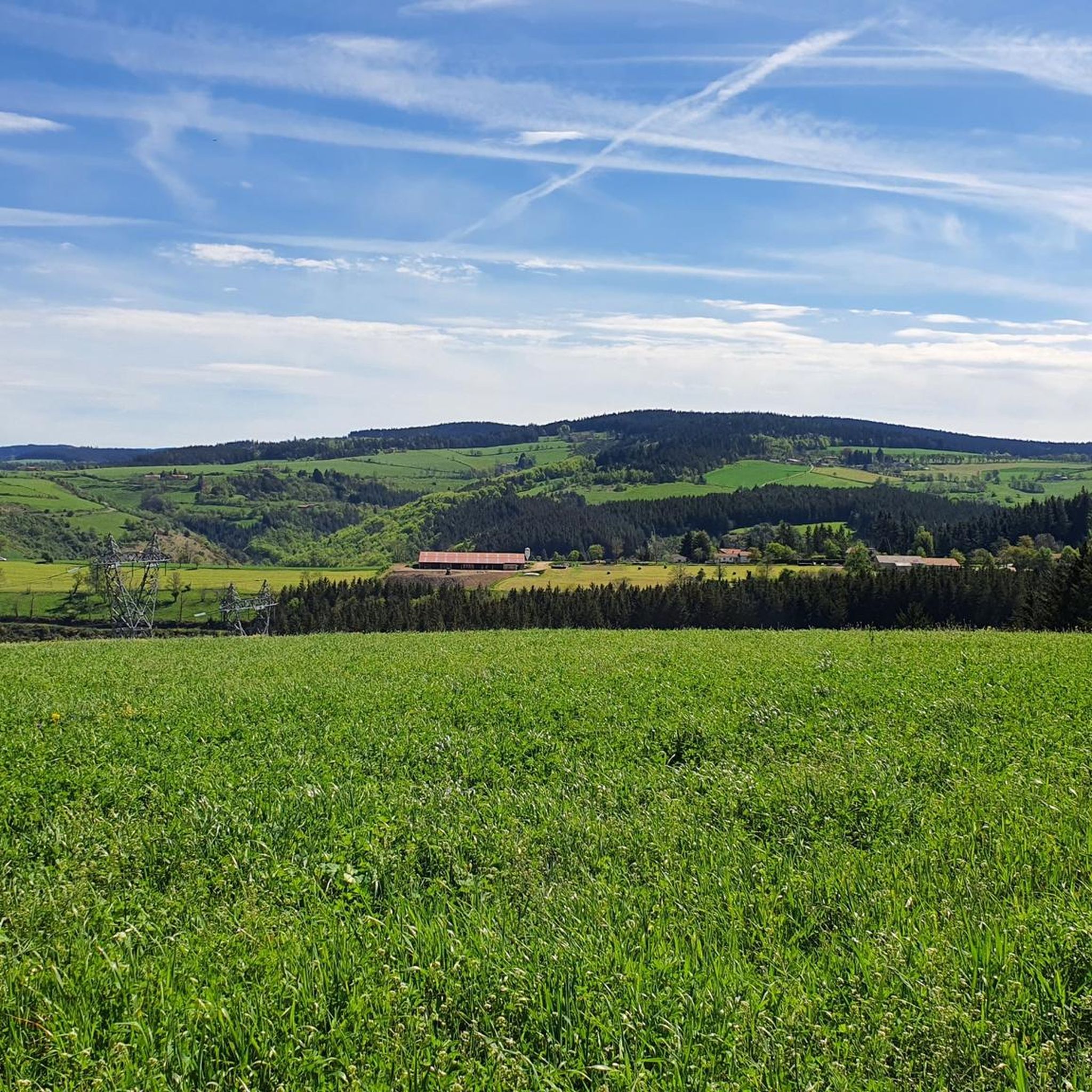
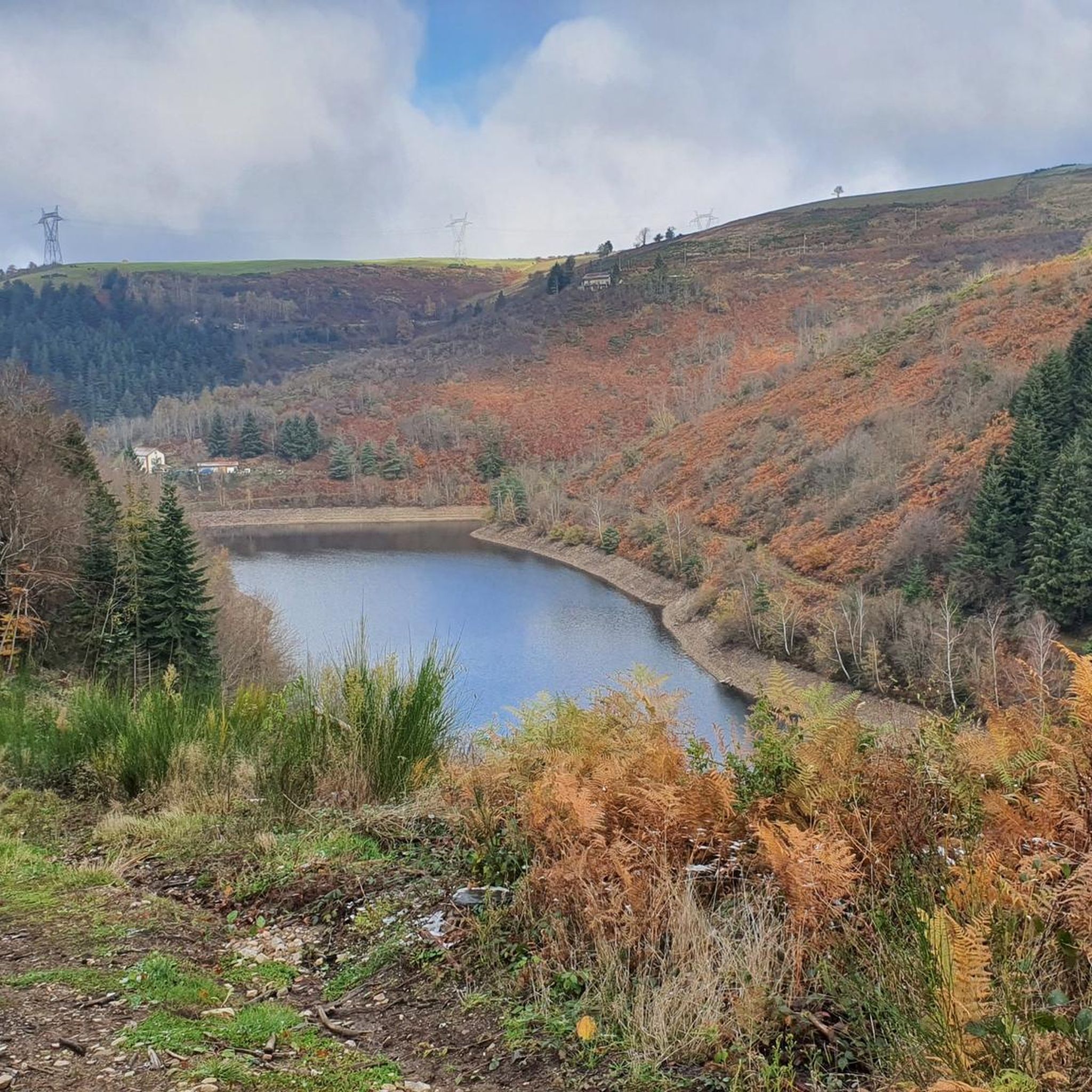
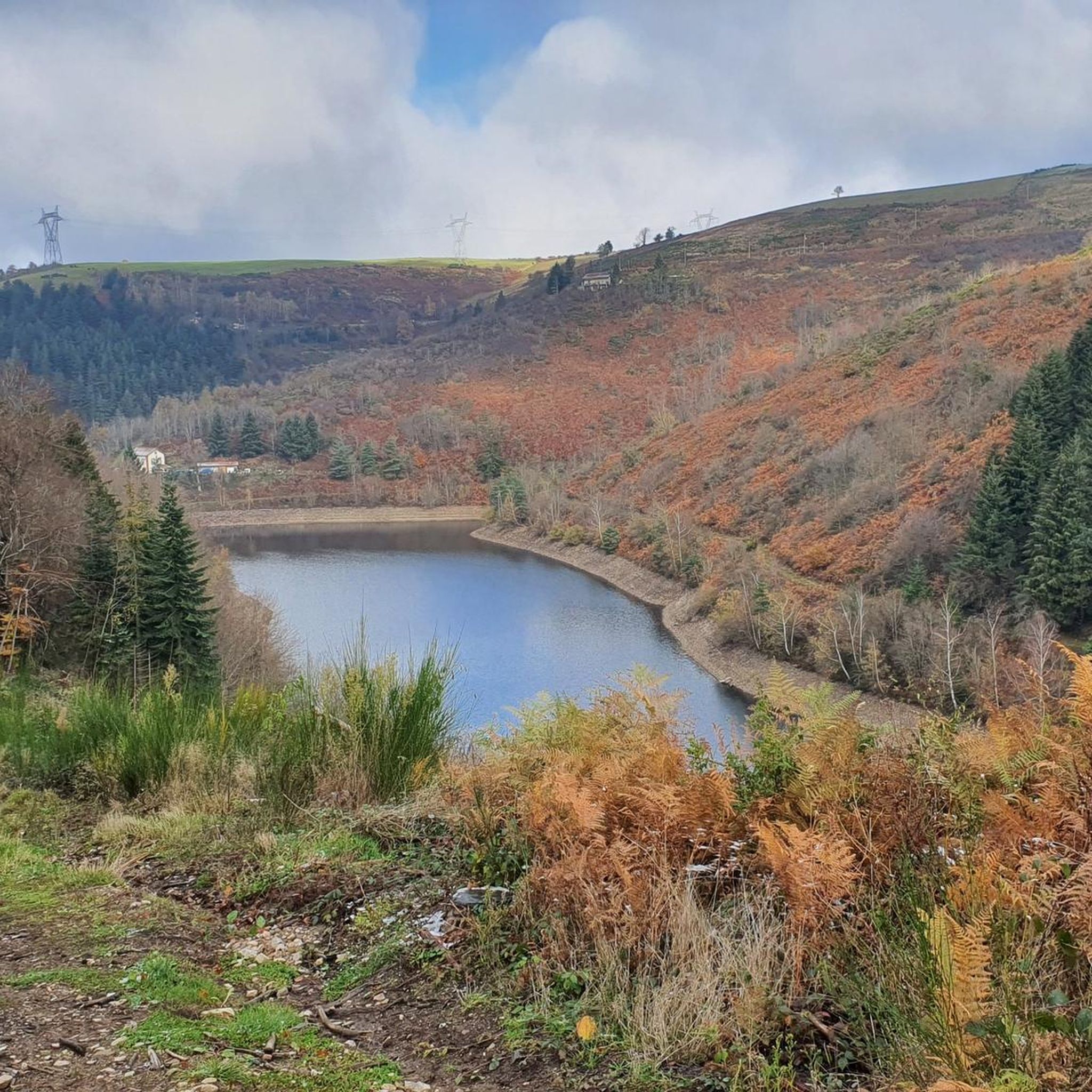
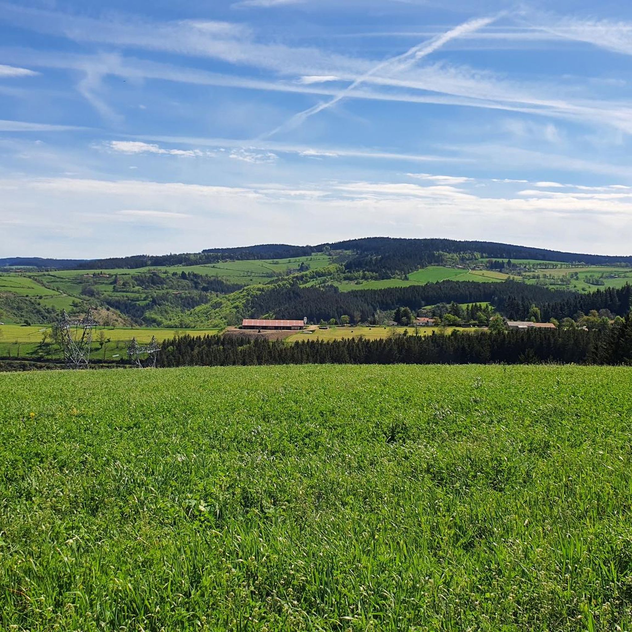
Hiking around Saint-Romain-Les-Atheux offers diverse landscapes within the Pilat Regional Natural Park, with altitudes ranging from 600 to 1000 meters. The terrain features a mix of lush deciduous forests in valleys, extensive prairies, and coniferous forests on plateaus. Hikers can explore paths around several dams, including Cotatay Dam and Sapt Dam, and follow the Valchérie stream. This varied topography provides a range of natural environments for outdoor activities.
Best hiking trails around Saint-Romain-Les-Atheux
- The most popular hiking route is Cotatay…
Last updated: July 7, 2026
3.0
(3)
5
hikers
5.86km
01:45
170m
170m
This easy 3.6-mile loop around Barrage de Cotatay in Pilat Regional Natural Park offers serene lake views and forest paths.
5.0
(4)
46
hikers
6.33km
01:47
130m
130m
Easy hike. Great for any fitness level. Easily-accessible paths. Suitable for all skill levels.

Sign up for free
4.9
(9)
44
hikers
10.8km
03:17
380m
380m
Moderate hike. Good fitness required. Easily-accessible paths. Suitable for all skill levels.
4.5
(11)
42
hikers
15.4km
04:16
270m
270m
Moderate hike. Good fitness required. Easily-accessible paths. Suitable for all skill levels.
4.5
(2)
30
hikers
12.5km
03:42
350m
350m
Moderate hike. Good fitness required. Easily-accessible paths. Suitable for all skill levels.
Get access to more routes and recommendations from other explorers.
Sign up for free
Already have an account?
Our route recommendations are based on thousands of hikes, rides, and runs completed by other people on komoot.
Start today with a free account
Your next adventure awaits.
Login or Signup

Tips from the Community


The Sapt dam is an impressive 18-metre-high structure. Also called the Plats dam, it is located on the course of the Semène.
0
0

Nice example of a dam where you can walk under the structure that overlooks you. Impressive.
2
0

access by the southwest path is steep with some stones. Access by the northwest path under the road is pleasant and not too steep with views over the Cotatay valley.
0
0

Frequently Asked Questions
How many hiking trails are available in Saint-Romain-Les-Atheux?
There are over 300 hiking routes around Saint-Romain-Les-Atheux, catering to various skill levels. You'll find approximately 100 easy routes, nearly 200 moderate options, and around 30 more challenging trails.
Are there any easy, family-friendly walks in Saint-Romain-Les-Atheux?
Yes, Saint-Romain-Les-Atheux offers several easy and accessible trails, many of which are suitable for families. The area around the Cotatay Dam is particularly good for gentle strolls, such as the Cotatay Dam Loop, which is just under 6 km. Another option is the 1 km "Les arbres du chemin de l'eau" discovery trail near the Pêcher pond, perfect for learning about local tree species. For more information on this specific trail, you can visit pilat-tourisme.fr.
What kind of landscapes can I expect to see while hiking here?
Hiking in Saint-Romain-Les-Atheux offers a diverse range of landscapes within the Pilat Regional Natural Park. You'll encounter lush deciduous forests in the valleys, extensive prairies, and coniferous forests on the plateaus. Many trails feature picturesque lake views around dams like Cotatay and Sapt, and you might even follow the Valchérie stream, known for trout fishing.
Are there any circular walks available?
Yes, many trails in Saint-Romain-Les-Atheux are designed as circular routes. For example, the Cotatay Dam – Cotatay Valley loop from Aux Planches is an easy 6.3 km circular path. For a moderate option, consider the Sapt Dam loop from Saint-Genest-Malifaux, which covers about 15.4 km.
What are some notable viewpoints or scenic spots in the area?
For breathtaking panoramas, Le Guizay offers expansive views of Saint-Étienne and the wider Pilat region. Additionally, the "points de vue de Salvaris" provide scenic outlooks over the Gier valley, Saint-Chamond, the Pilat, and the Furan valley.
Can I find any historical or cultural points of interest along the trails?
Yes, some trails offer glimpses into the region's past. For instance, Sentier n°1, "Le barrage du Cotatay," passes by the ruins of an old silk-throwing factory, reflecting the village's industrial heritage. You can also explore the Rochetaillée Castle nearby.
What do other hikers say about the trails in Saint-Romain-Les-Atheux?
The hiking routes in Saint-Romain-Les-Atheux are highly regarded by the komoot community, with an average rating of 4.5 stars from over 1000 reviews. Hikers often praise the varied terrain, from forest paths to lake views, and the well-maintained trails suitable for different ability levels.
Are there any trails that feature dams or lakes?
Absolutely. The area is known for its dams and lakes. The Cotatay Dam loop from Barrage de Cotatay is a shorter, easy option directly around the dam. Other significant bodies of water include Sapt Dam and Barrage de l'Ondenon. You can also visit the impressive Gouffre d'Enfer Dam.
Are there any trails that go through dense forests?
Yes, you can find trails that lead through dense forests. Sentier n°3, "Le Fournel," located near the Haute-Loire border, invites exploration of thick spruce and deciduous forests, often crisscrossed by numerous small streams, providing a truly immersive woodland experience.
What are the typical durations for hikes in this region?
Hike durations vary significantly depending on the route's length and difficulty. Easy loops around the Cotatay Dam, like the Cotatay Dam Loop (5.9 km), typically take around 1 hour 45 minutes. Longer, moderate routes such as the Cotatay Cave – Cotatay Dam loop from Le Chambon-Feugerolles (12.5 km) can take over 3 hours.
Are there any specific natural monuments or unique geological features to see?
Beyond the dams, the region offers natural monuments like the Le Gnaorou and The Gimel Peat Bogs. For those seeking higher ground, the Crêt de Chaussître and Crêt des 6 Soleils offer elevated perspectives.
Most popular routes around Saint-Romain-Les-Atheux
Most popular attractions around Saint-Romain-Les-Atheux

Get inspired with the komoot mobile app


Explore more
Browse the best Hikes in other regions.
