The best running trails around Saint-Romain-Les-Atheux
4.3
(242)
10,850
runners
492
runs
Jogging around Saint-Romain-Les-Atheux offers varied terrain within the Loire department, bordering the Pilat Regional Natural Park. The landscape features plateaus, valleys like the Cotatay and Valchérie, and extensive forests, providing diverse running experiences. Altitudes range from 635 to 983 meters, contributing to a mix of gradients suitable for different fitness levels. The area's well-maintained trail networks traverse both deciduous and coniferous woodlands, often alongside small streams.
Best jogging routes around Saint-Romain-Les-Atheux
- The most popular jogging route is Crêt de Chaussître…
Last updated: June 29, 2026
72
runners
18.3km
02:21
500m
500m
Hard run. Very good fitness required. Mostly paved surfaces. Suitable for all skill levels.
4.6
(5)
33
runners
13.0km
01:32
300m
300m
Hard run. Very good fitness required. Mostly paved surfaces. Suitable for all skill levels.

Sign up for free
4.5
(4)
22
runners
10.5km
01:09
230m
230m
Moderate run. Good fitness required. Mostly paved surfaces. Suitable for all skill levels.
23
runners
11.6km
01:32
350m
350m
Hard run. Very good fitness required. Mostly paved surfaces. Suitable for all skill levels.
15
runners
9.67km
01:02
90m
90m
Moderate run. Good fitness required. Mostly paved surfaces. Suitable for all skill levels.
Get access to more routes and recommendations from other explorers.
Sign up for free
Already have an account?
Our route recommendations are based on thousands of hikes, rides, and runs completed by other people on komoot.
Start today with a free account
Your next adventure awaits.
Login or Signup

Tips from the Community

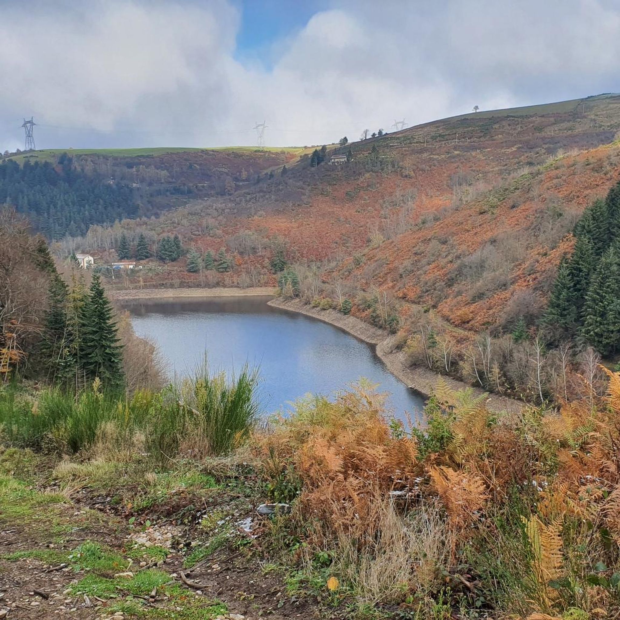
The Sapt dam is an impressive 18-metre-high structure. Also called the Plats dam, it is located on the course of the Semène.
0
0

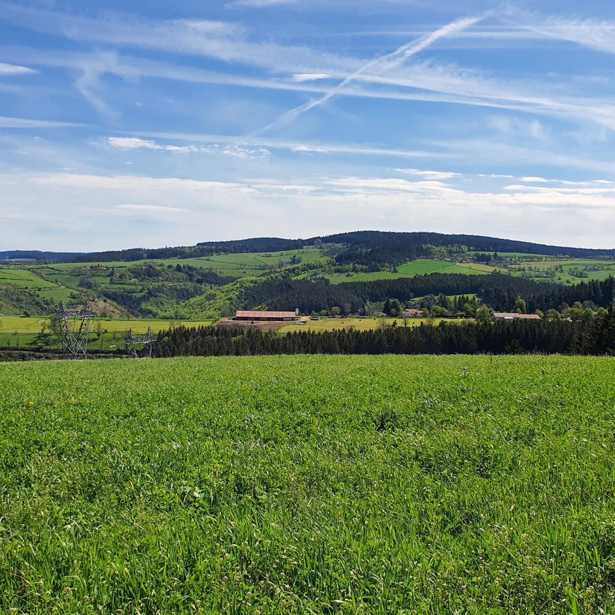
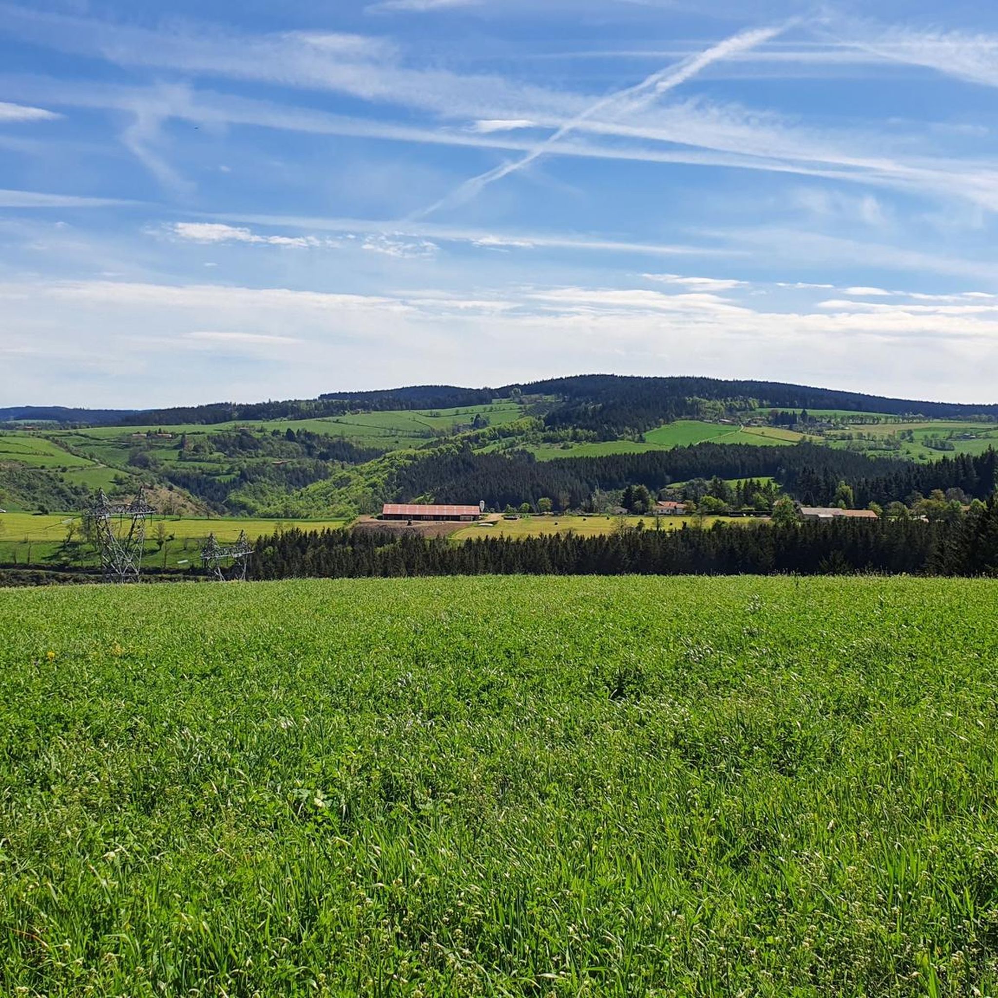
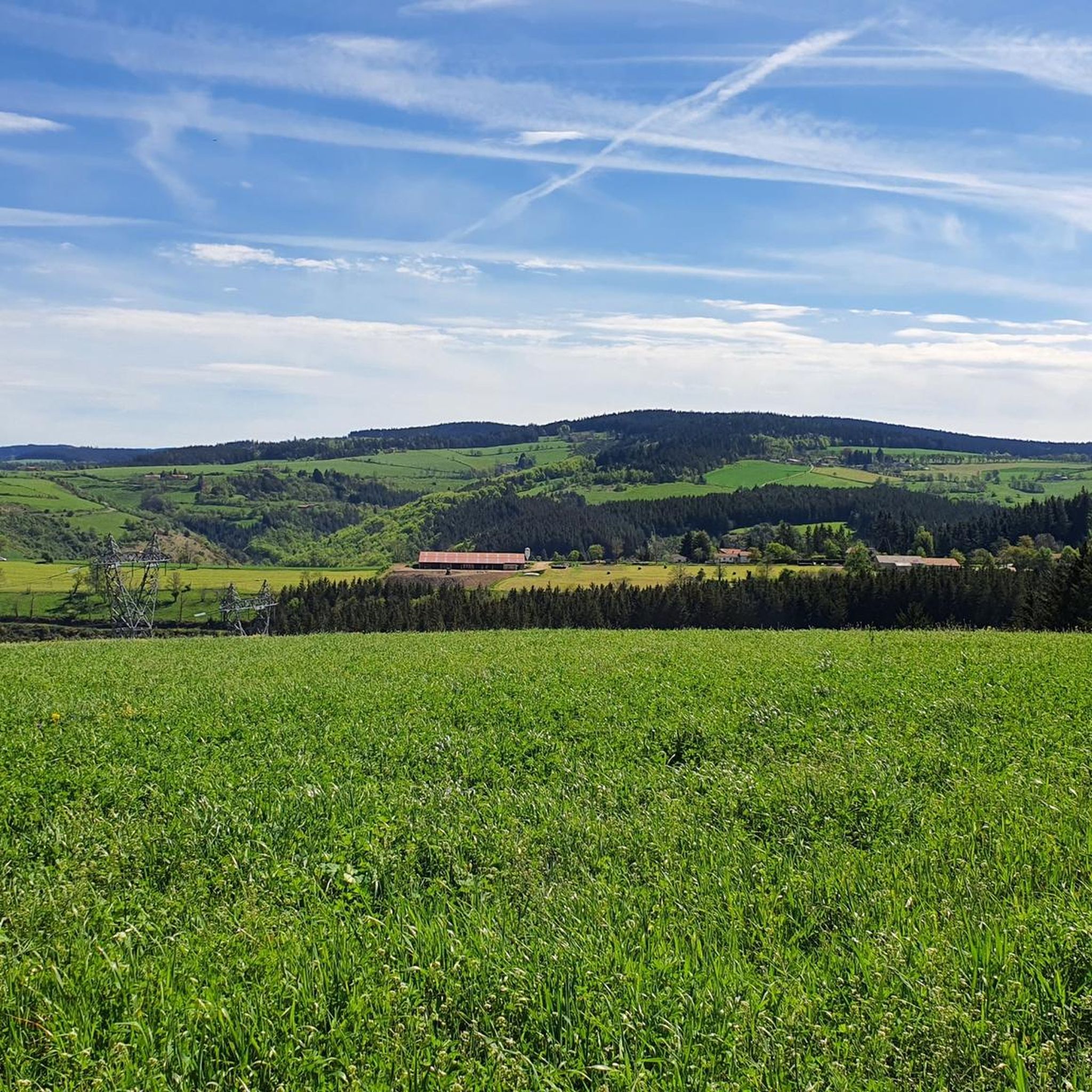
Crêt de Chaussître is located at the southern end of Pilat. It offers a beautiful panorama of the Monts du Velay, Mont Mezenc, the Yssingeaux juices and the high plateaus of Forez.
0
0

Do not miss the waterfall at the foot of the dam to take a cool break
0
0

Nice example of a dam where you can walk under the structure that overlooks you. Impressive.
2
0
By mountain bike, the northern accesses are difficult, large stones, very technical. Access by chemin du Teil easier but steep and partly paved. My favorite access is through the east in the woods from Prélager (before arriving at the picnic area, take the small grassy path on the left which descends slightly)
0
0
access by the southwest path is steep with some stones. Access by the northwest path under the road is pleasant and not too steep with views over the Cotatay valley.
0
0

Frequently Asked Questions
How many running routes are available in Saint-Romain-Les-Atheux?
Saint-Romain-Les-Atheux offers a wide selection of running routes, with over 450 trails available. These routes cater to various fitness levels, ranging from easy jogs to more challenging runs.
What kind of terrain can I expect on jogging trails in Saint-Romain-Les-Atheux?
The region boasts diverse terrain, perfect for varied running experiences. You'll find trails traversing high plateaus, lush valleys like the Cotatay and Valchérie, and extensive forests. Altitudes range from 635 to 983 meters, ensuring a mix of gradients suitable for different fitness levels. Expect a blend of deciduous and coniferous woodlands, often crisscrossed by small streams.
Are there easy running routes for beginners in Saint-Romain-Les-Atheux?
Yes, there are several easy running routes suitable for beginners. You can find 24 routes classified as easy, offering gentler gradients and shorter distances to help you get started or enjoy a relaxed run.
Are there challenging running trails for experienced runners?
Absolutely. For experienced runners seeking a challenge, Saint-Romain-Les-Atheux offers 124 difficult routes. These trails often feature significant elevation changes and cover longer distances, such as the Crêt de Chaussître – Sapt Dam loop from Saint-Genest-Malifaux, which includes substantial climbs and descents.
What do other runners say about the trails in Saint-Romain-Les-Atheux?
The running trails in Saint-Romain-Les-Atheux are highly regarded by the komoot community, with an average rating of 4.4 stars from over 220 reviews. Runners often praise the beautiful natural scenery, the well-maintained paths, and the variety of terrain that makes each run unique.
Are there any circular jogging routes in the area?
Yes, many of the running routes in Saint-Romain-Les-Atheux are circular, allowing you to start and finish at the same point. Examples include the Sapt Dam loop from Saint-Genest-Malifaux, which offers scenic views around the dam, and the Chaussitre Cross loop from Magnoloux, leading through high plateaus and forests.
Can I find long-distance running trails in Saint-Romain-Les-Atheux?
Yes, the region offers several longer routes for endurance training. For instance, the Crêt de Chaussître – Sapt Dam loop from Saint-Genest-Malifaux is an 18.3 km (11.3 miles) trail, providing a substantial distance for a challenging run through varied landscapes.
Are there jogging routes with scenic views or viewpoints?
Absolutely. Many trails offer impressive vistas. You can enjoy panoramic views from plateaus like Montamoger and Fournel, overlooking the Ondaine valley, the Forez plain, and Saint-Romain-les-Atheux itself. The Crêt de Chaussître is a notable summit offering expansive views, and the Crêt des 6 Soleils is another excellent viewpoint.
Can I combine my run with seeing historical elements?
Yes, some routes pass by historical points of interest. For example, trails in the Cotatay valley might lead you past the ruins of an old milling factory, offering a glimpse into the area's industrial past. You might also encounter ancient crosses, such as a Calvary dating back to 1779, along various paths.
Are there any natural features to look out for while running?
The area is rich in natural beauty. You can run alongside the Valchérie river, known for trout fishing, or explore trails around the Gouffre d'Enfer Dam and Sapt Dam. The extensive forests, a mix of deciduous and coniferous trees, provide shaded and varied terrain, often with small streams crisscrossing the paths. Don't miss the Le Gnaorou natural monument.
Are the running trails well-marked in Saint-Romain-Les-Atheux?
Yes, Saint-Romain-les-Atheux is known for its well-marked trails, often referred to as "San Roumi" loops. These trails are designed to guide you through the commune's preserved landscapes, making navigation straightforward and enjoyable for runners.
Are there any routes that pass by dams or water features?
Yes, the region is characterized by its valleys and water features. You can find routes that explore the Cotatay Dam area, offering serene lake views, or trails around the Sapt Dam. The Valchérie river also provides pleasant routes through its valley.
Are the jogging routes in Saint-Romain-Les-Atheux dog-friendly?
While specific regulations for dogs on trails can vary, generally, dogs are welcome on many outdoor trails in France, especially when kept on a leash. It's always recommended to check local signage or park rules, particularly within the Pilat Regional Natural Park, to ensure a pleasant experience for both you and your canine companion.
Most popular routes around Saint-Romain-Les-Atheux
Most popular attractions around Saint-Romain-Les-Atheux

Get inspired with the komoot mobile app


Explore more
Browse the best Running Trails & Routes in other regions.
