The best gravel rides around Niederassel
4.6
(17)
164
riders
19
rides
Gravel biking around Niederassel offers a variety of routes for different skill levels. The region features diverse terrain, including forested paths and ascents that challenge riders. These routes provide opportunities to explore varied landscapes suitable for gravel bikes.
Best gravel bike trails around Niederassel
- The most popular gravel bike trail is Ballon d'Alsace – Col du Ballon d'Alsace loop from Giromagny, a 34.8 miles (55.9 km) trail that takes 4 hours 6 minutes to complete. This route features significant…
Last updated: October 6, 2026
4.3
(3)
27
riders
55.9km
04:06
1,390m
1,390m
Hard gravel ride. Very good fitness required. You may need to push your bike for some segments of this route.
5.0
(1)
23
riders
45.7km
03:11
1,070m
1,070m
Hard gravel ride. Very good fitness required. Mostly paved surfaces. Suitable for all skill levels.

4.0
(1)
17
riders
64.2km
03:53
530m
530m
Hard gravel ride. Very good fitness required. Mostly paved surfaces. Suitable for all skill levels.
16
riders
Hard gravel ride. Very good fitness required. Mostly paved surfaces. Suitable for all skill levels.
5
riders
40.4km
02:49
570m
570m
Hard gravel ride. Very good fitness required. Mostly paved surfaces. Suitable for all skill levels.
Get access to more routes and recommendations from other explorers.
Already have an account?
Our route recommendations are based on thousands of hikes, rides, and runs completed by other people on komoot.
Start today with a free account
Your next adventure awaits.
Tips from the Community

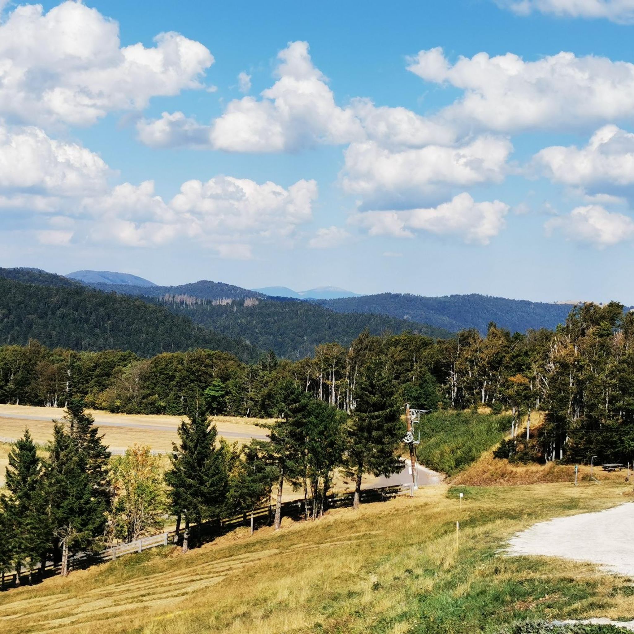
From the dam, you can enjoy a wide view over the reservoir. The striking reddish-brown banks contrast beautifully with the water and the wooded hills of the Vosges in the background.
6
0
This large lake is a popular stop along the cycling routes around Belfort, with beautiful views over the water and the surrounding nature.
6
0
The Étang du Malsaucy (often also called Lac du Malsaucy) is, with an area of 55 hectares, the largest lake in the French department of Territoire de Belfort. It is nestled in the Parc naturel régional des Ballons des Vosges, spread across the municipalities of Évette-Salbert, Lachapelle-sous-Chaux, and Sermamagny. Originally built at the end of the 15th century for fish farming, it is now one of the most important recreational and natural areas in the region.
6
0
A comfortable, car-free and beautiful cycle path to Lac du Malsaucy, one of the most beautiful recreational areas of the Territoire de Belfort.
1
0
La Planche des Belles Filles is a 5.8 kilometer climb. It is a category 1 climb. It is located in Plancher Les Mines, Franche-Comté, France. The average gradient of this climb is 8.6% with a maximum of 13.6%. La Planche des Belles Filles climbs from 527 meters at the start to 1,033 meters at the summit, for a total elevation gain of 506 meters.
7
0
This 5.9-kilometer climb from the village of Plancher-les-Mines in Haute-Saône is one of the most difficult in the Vosges. Indeed, cyclists who want to try it will need to be at least somewhat trained. With a gradient of 24% towards the end of the route, it's better to be well-attached. The gradient never seems to ease, with its hairpin bends and, upon reaching the resort, the last 2 kilometers rise like a wall. However, you'll be able to say that you've done it, so come and try the climb of La Planche too!
8
0

Super tough to get there...
0
0
If you like to hurt and question gravity, this is the right place.
0
0
Frequently Asked Questions
How many gravel bike trails are available around Niederassel?
There are over 20 gravel biking routes in the Niederassel region, offering a diverse range of experiences for riders. These trails vary in length and elevation, providing options for different skill levels.
What is the general difficulty level of gravel biking routes in Niederassel?
The gravel biking routes around Niederassel are generally challenging. While there are a couple of easier options, the majority of the 22 available routes are classified as moderate to difficult, featuring significant elevation gains and varied terrain.
Are there any family-friendly or beginner gravel bike routes in Niederassel?
While many routes in Niederassel are challenging, there are a few options suitable for beginners or families looking for a less strenuous ride. For instance, the Malsaucy cycling link – Lac du Malsaucy loop from Lachapelle-sous-Chaux offers a more accessible experience with less elevation gain compared to other routes in the area.
What kind of terrain can I expect on gravel bike trails in Niederassel?
Gravel biking in Niederassel is characterized by diverse terrain, including forested paths, challenging ascents, and varied landscapes. You'll encounter a mix of gravel roads, forest tracks, and some paved sections, often leading to panoramic views.
What are some scenic viewpoints or natural attractions along the gravel bike routes?
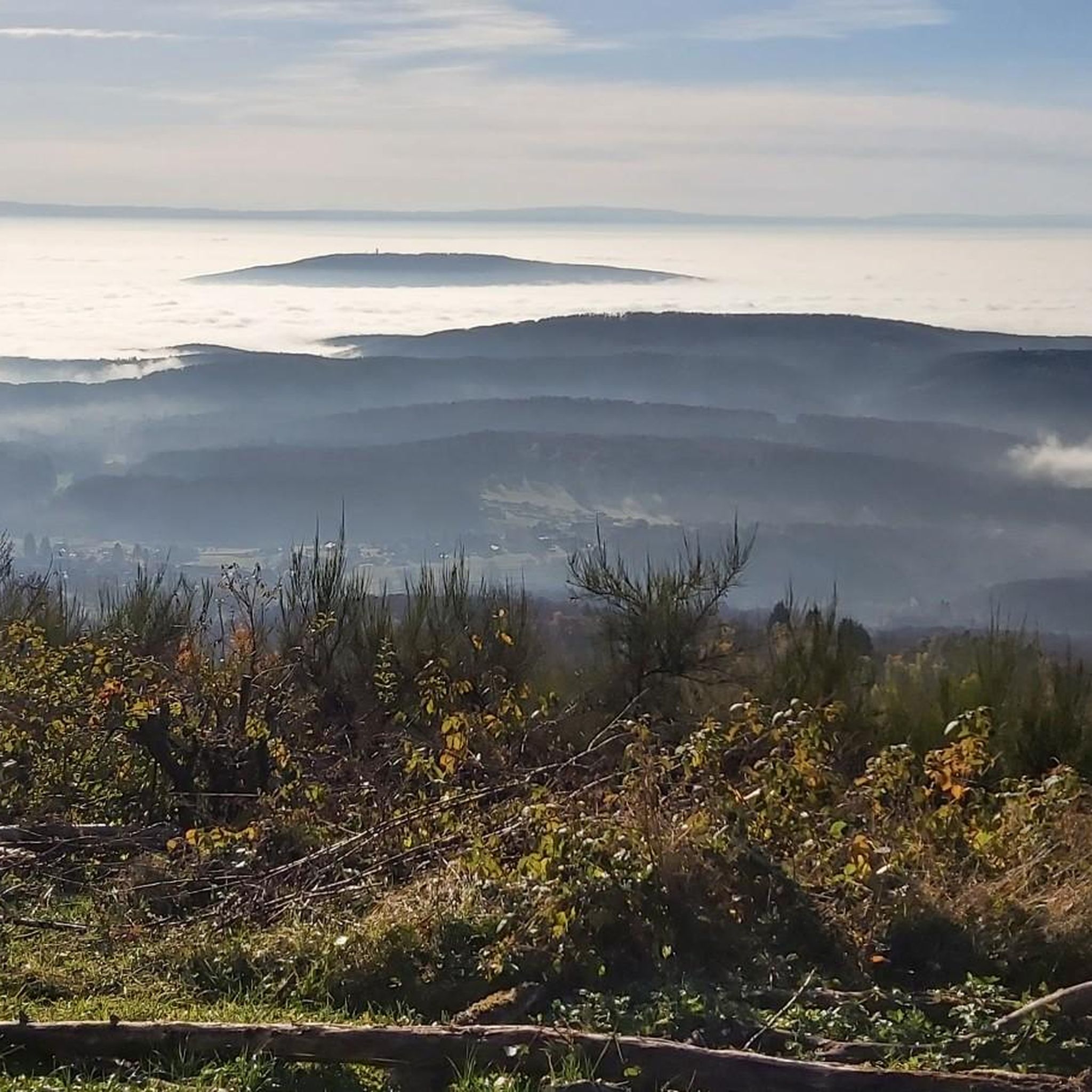
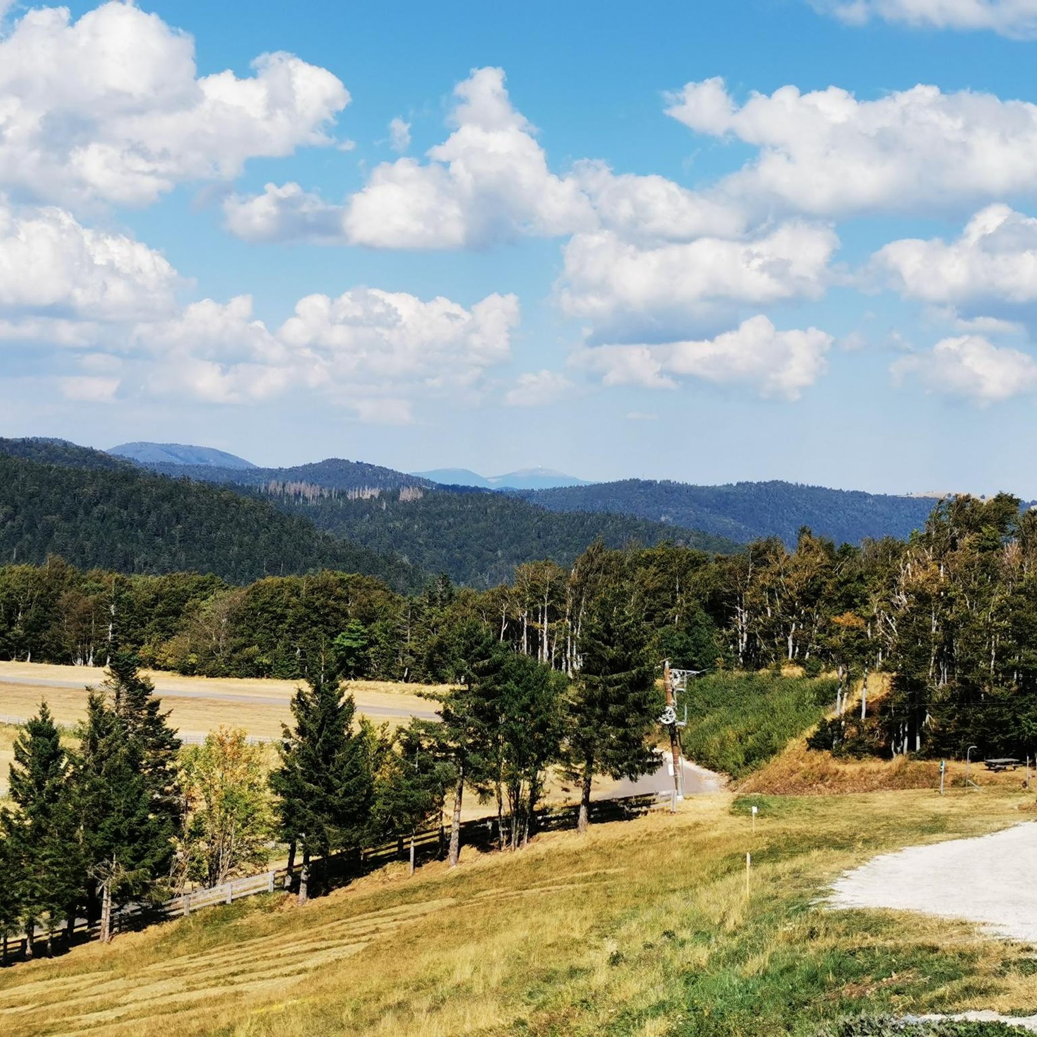
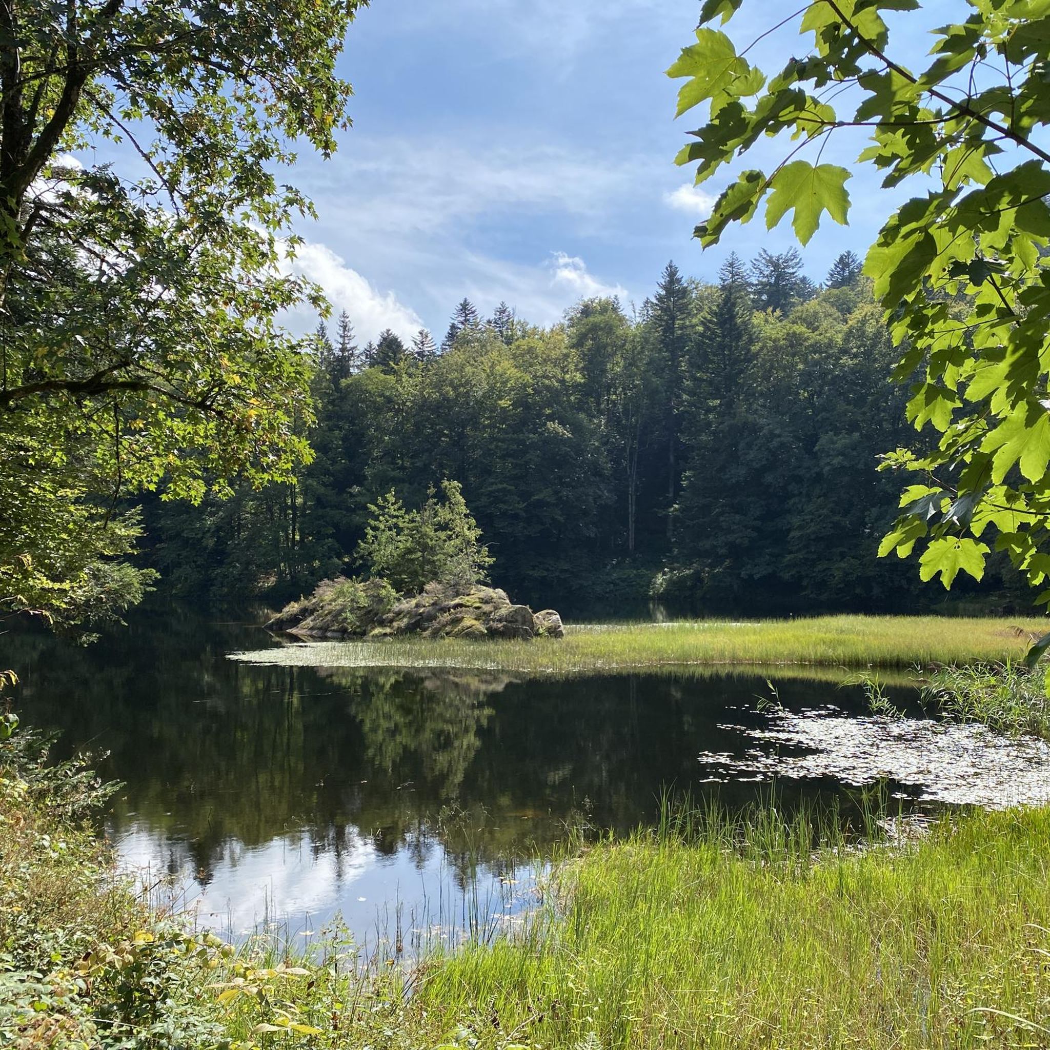
The region around Niederassel offers several scenic highlights. You can find stunning views from peaks like Ballon d'Alsace and La Planche des Belles Filles. Additionally, routes often pass by beautiful lakes such as Véronne Pond and offer a Viewpoint overlooking Lake Malsaucy.
Are there any circular gravel biking routes available in Niederassel?
Yes, many of the gravel biking routes in Niederassel are designed as circular loops. Examples include the challenging La Planche des Belles Filles – Ballon de Servance loop from Giromagny and the shorter Pinot Ramp – La Planche des Belles Filles loop from Réserve naturelle des Ballons Comtois, which leads through forested areas.
What do other gravel bikers enjoy most about the routes in Niederassel?
The gravel biking routes in Niederassel are highly rated by the komoot community, with an average score of 4.1 stars. Riders frequently praise the challenging climbs, the diverse forested paths, and the rewarding panoramic views from the region's peaks.
What is the best time of year for gravel biking in Niederassel?
The best time for gravel biking in Niederassel is generally from spring through autumn. During these seasons, the weather is more favorable, and the trails are typically in good condition. Winter riding can be possible but may involve colder temperatures and potentially snow or ice at higher elevations.
Are there any routes that pass by places to eat or cafes?
While specific cafes directly on every route are not detailed, many routes in the Niederassel region start or pass through towns like Giromagny or Champagney, where you can typically find options for refreshments and meals. It's always a good idea to check local amenities before you set out.
What should I wear for gravel biking in Niederassel?
Given the varied terrain and potential for significant elevation changes, it's advisable to wear appropriate cycling gear, including layers that can be adjusted to changing temperatures. A helmet is essential, and sturdy gravel biking shoes are recommended for comfort and efficiency on mixed surfaces.
How long do gravel bike routes typically take to complete in Niederassel?
Route durations vary significantly based on length and difficulty. For example, the Ballon d'Alsace – Col du Ballon d'Alsace loop from Giromagny, at 34.8 miles (55.9 km), typically takes around 4 hours, while the shorter Pinot Ramp – La Planche des Belles Filles loop (11.1 miles / 17.8 km) can be completed in about 1 hour 30 minutes.
Most popular routes around Niederassel
Most popular attractions around Niederassel

Get inspired with the komoot mobile app


Explore more
Browse the best Gravel rides in other regions.
