The best running trails around Niederassel
4.4
(89)
6,203
runners
226
runs
Jogging routes around Niederassel benefit from its location along the Rhine River, featuring expansive floodplains and numerous green spaces. The landscape offers a mix of paved and softer paths, suitable for various running preferences. This region is characterized by its riverine environment and well-developed network of footpaths.
Best jogging routes around Niederassel
- The most popular jogging route is La Planche des Belles Filles – Split Rock loop from Auxelles-Haut, a 13.6 miles (21.9 km) trail that takes 3 hours…
Last updated: July 5, 2026
5
runners
5.10km
00:35
90m
90m
This difficult 3.2-mile jogging loop around Fort de Giromagny offers historical views and varied terrain in the Vosges.
58
runners
12.3km
01:38
540m
540m
Hard run. Very good fitness required. Sure-footedness, sturdy shoes and alpine experience required.

Sign up for free
202
runners
27.3km
03:59
1,290m
1,290m
Hard run. Very good fitness required. Sure-footedness, sturdy shoes and alpine experience required.
17
runners
19.2km
02:32
760m
760m
Hard run. Very good fitness required. Sure-footedness, sturdy shoes and alpine experience required.
17
runners
12.1km
01:41
570m
570m
Hard run. Very good fitness required. Sure-footedness, sturdy shoes and alpine experience required.
Get access to more routes and recommendations from other explorers.
Sign up for free
Already have an account?
Our route recommendations are based on thousands of hikes, rides, and runs completed by other people on komoot.
Start today with a free account
Your next adventure awaits.
Login or Signup
Tips from the Community


The opening times are published online and it's worth investing the €4 for entry. The complex is huge, although not all rooms are accessible. We visited without a guide, but were provided with detailed information material - in German! A very interesting complex that is maintained by a club. Respect!!!
0
0

Carried out after several days of rain, this hike offers beautiful views of numerous waterfalls. The climb is steep, good shoes are necessary. About an hour to reach the small lake at the summit. However, be careful when going down, the rocks can be slippery. Supervision of children recommended.
1
0
Steep but very pleasant path along the Rummel and thus allowing you to discover the different waterfalls. We followed it after heavy rains which really offered beautiful waterfalls!
2
0

This fort was built between 1875 and 1879. The fort forms the southern end of the defensive curtain of the Haute Moselle region, adjoining the fortified region of Belfort, which extends to the south. The fort was built as part of the French Séré de Rivières system of fortifications to defend France against a recurrence of the Prussian invasion of the Franco-Prussian War of 1870–1871. The fort was one of the most heavily armed forts in the northeast during the late 19th and early 20th centuries. Entrance 3€/pers. (free for accompanied children under 12). OPENING EVERY SUNDAY and public holidays from July 3 to September 18 (inclusive): from 2 p.m. to 6 p.m. (entrances close at 5:15 p.m.) Possibility of guided tour from April to October (Reservation required).
0
0

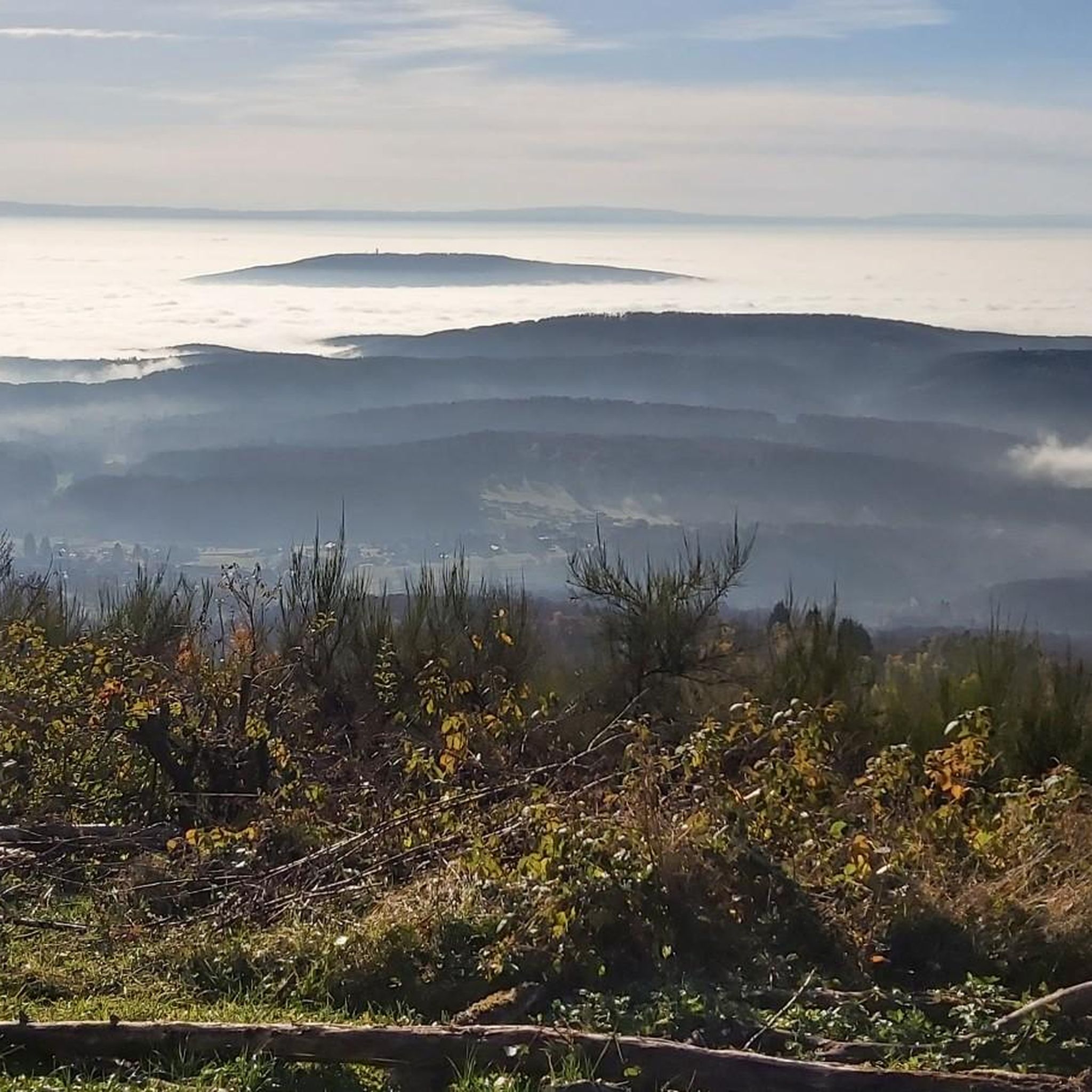
The Wissgrut is a large peak in the Vosges which culminates at 1124 meters above sea level. From this height, you benefit from a magnificent panorama over the entire Vosges mountains. On a clear day, the alpine reliefs appear on the southern horizon.
1
0
Frequently Asked Questions
How many running routes are available in Niederassel?
There are over 220 running routes around Niederassel, offering a wide variety of options for different preferences and fitness levels. This includes paths along the Rhine River and through expansive green spaces.
What kind of terrain can I expect on the jogging trails in Niederassel?
Jogging routes in Niederassel feature a mix of terrain. You'll find well-developed paths, including paved sections, as well as softer surfaces within parks and along the Rhine meadows. The region's riverside setting and floodplains contribute to a diverse running experience.
Are there easy running paths suitable for beginners in Niederassel?
Yes, Niederassel offers several easy running paths. There are 6 routes specifically categorized as easy, perfect for beginners or those looking for a relaxed run. Many paths along the Rhine are relatively flat and accessible.
Are there challenging running routes for experienced runners?
Absolutely. For experienced runners seeking a challenge, Niederassel has 96 routes categorized as difficult. These often feature significant elevation gains and varied terrain. An example is the La Planche des Belles Filles – Split Rock loop from Auxelles-Haut, which is 21.9 km long with substantial elevation.
What do other runners say about the trails in Niederassel?
The running routes in Niederassel are highly regarded by the komoot community, with an average rating of 4.3 stars from over 70 reviews. Runners often praise the scenic Rhine River landscapes, the variety of paths, and the peaceful green spaces.
Are there any circular running routes in Niederassel?
Yes, many of the running routes in Niederassel are designed as circular loops, allowing you to start and finish at the same point. For example, the Running loop from Auxelles-Haut is a moderate 8.0 km circular trail.
Can I find running routes with interesting sights or viewpoints?
While jogging in Niederassel, you'll enjoy scenic views of the Rhine River and its floodplains. For specific points of interest, consider exploring areas near the Ballon d'Alsace or La Planche des Belles Filles, which are prominent peaks in the wider region and offer expansive vistas.
Are there dog-friendly running trails in Niederassel?
Many of the paths and green spaces along the Rhine River and within the floodplains are suitable for running with dogs. It's always advisable to keep your dog on a leash, especially in nature reserve areas like the Rheidter Werth, and to respect local regulations.
Are there family-friendly jogging paths in Niederassel?
Yes, the region offers several family-friendly jogging paths, particularly those with flatter, well-maintained surfaces. The extensive network of footpaths through green spaces and along the Rhine provides safe and enjoyable options for families to run together.
Is public transport available to access the running trails in Niederassel?
Niederkassel (Niederassel) is well-connected, and public transport options are available to reach various starting points for running trails. Its proximity to urban centers like Bonn and Cologne means good bus and train links, allowing access to different parts of the region.
Are there parking facilities near the running routes in Niederassel?
Yes, parking is generally available at various access points to the running routes, especially in and around the town centers and near popular recreational areas. Specific parking information can often be found on individual route descriptions on komoot.
What is the best time of year for running in Niederassel?
The spring and autumn months are particularly pleasant for running in Niederassel, with mild temperatures and beautiful natural scenery. Summer offers longer daylight hours, but it can be warmer, while winter running is possible, though some paths might be affected by weather conditions.
Most popular routes around Niederassel
Most popular attractions around Niederassel

Get inspired with the komoot mobile app


Explore more
Browse the best Running Trails & Routes in other regions.
