The best gravel rides around Marpiré
4.4
(46)
161
riders
16
rides
Gravel biking around Marpiré offers a diverse landscape characterized by wooded areas, quiet country roads, and agricultural lands. The commune is situated amidst forests like the Forêt de Chevré and the Bois de la Lisière, providing numerous unpaved paths ideal for gravel cycling. The terrain features modest elevation changes, with altitudes ranging from 69m to 119m, indicating a generally rolling landscape. "Chemins creux" (holloways) are also present, adding varied sections to the routes.
Best gravel bike trails around Marpiré
- The most popular gravel bike trail is Cantache dam – Cantache Pond loop from Châteaubourg, a 38.5 miles (61.9 km) trail that takes 4 hours 38 minutes to complete. This moderate route circles the Cantache dam and pond, offering varied scenery.
- Another top favourite among local gravel bikers is Cantache Pond – Cantache dam loop from La Motte, an easy 10.5 miles (16.8 km) path. This route provides a shorter loop around the Cantache Pond and dam, suitable for a quicker ride.
- Local gravel bikers also love the Cantache Pond – Cantache dam loop from Taillis, a 16.5 miles (26.5 km) trail leading through the area surrounding the Cantache Pond and dam, often completed in about 2 hours 6 minutes.
- Gravel biking around Marpiré is defined by wooded areas, country roads, and "chemins creux". The network offers options for easy, moderate, and difficult routes, catering to various skill levels.
- The routes in Marpiré are highly rated by the komoot community with an average score of 4.4 stars from over 40 reviews. More than 140 gravel bikers have used komoot to explore Marpiré's varied terrain.
Last updated: July 3, 2026
5.0
(2)
12
riders
Easy gravel ride. Great for any fitness level. Mostly paved surfaces. Suitable for all skill levels.
5.0
(1)
11
riders
60.1km
03:23
380m
380m
Moderate gravel ride. Good fitness required. Mostly paved surfaces. Suitable for all skill levels.

Sign up for free
10
riders
27.3km
01:27
160m
160m
Moderate gravel ride. Good fitness required. Mostly paved surfaces. Suitable for all skill levels.
5.0
(1)
7
riders
16.8km
00:55
70m
70m
Easy gravel ride. Great for any fitness level. Mostly paved surfaces. Suitable for all skill levels.
3.3
(4)
10
riders
45.0km
02:47
420m
420m
Moderate gravel ride. Good fitness required. Mostly paved surfaces. Suitable for all skill levels.
Get access to more routes and recommendations from other explorers.
Sign up for free
Already have an account?
Our route recommendations are based on thousands of hikes, rides, and runs completed by other people on komoot.
Start today with a free account
Your next adventure awaits.
Login or Signup

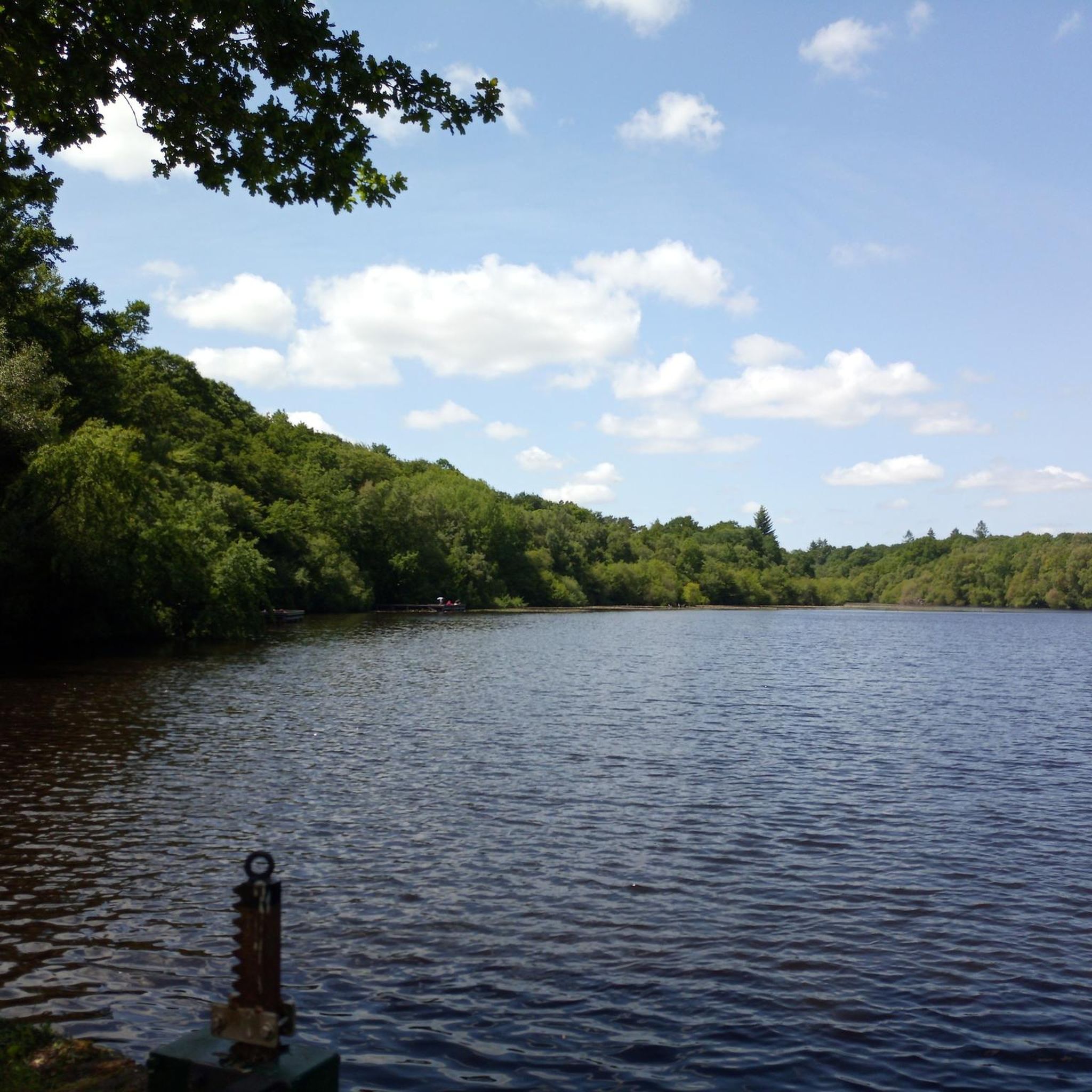
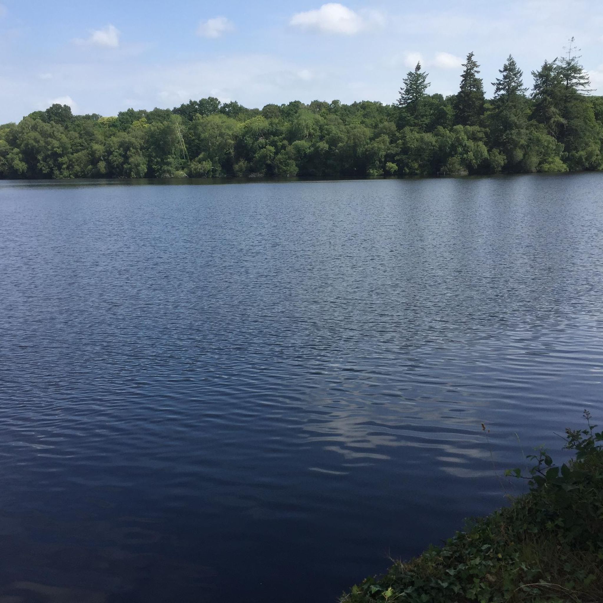
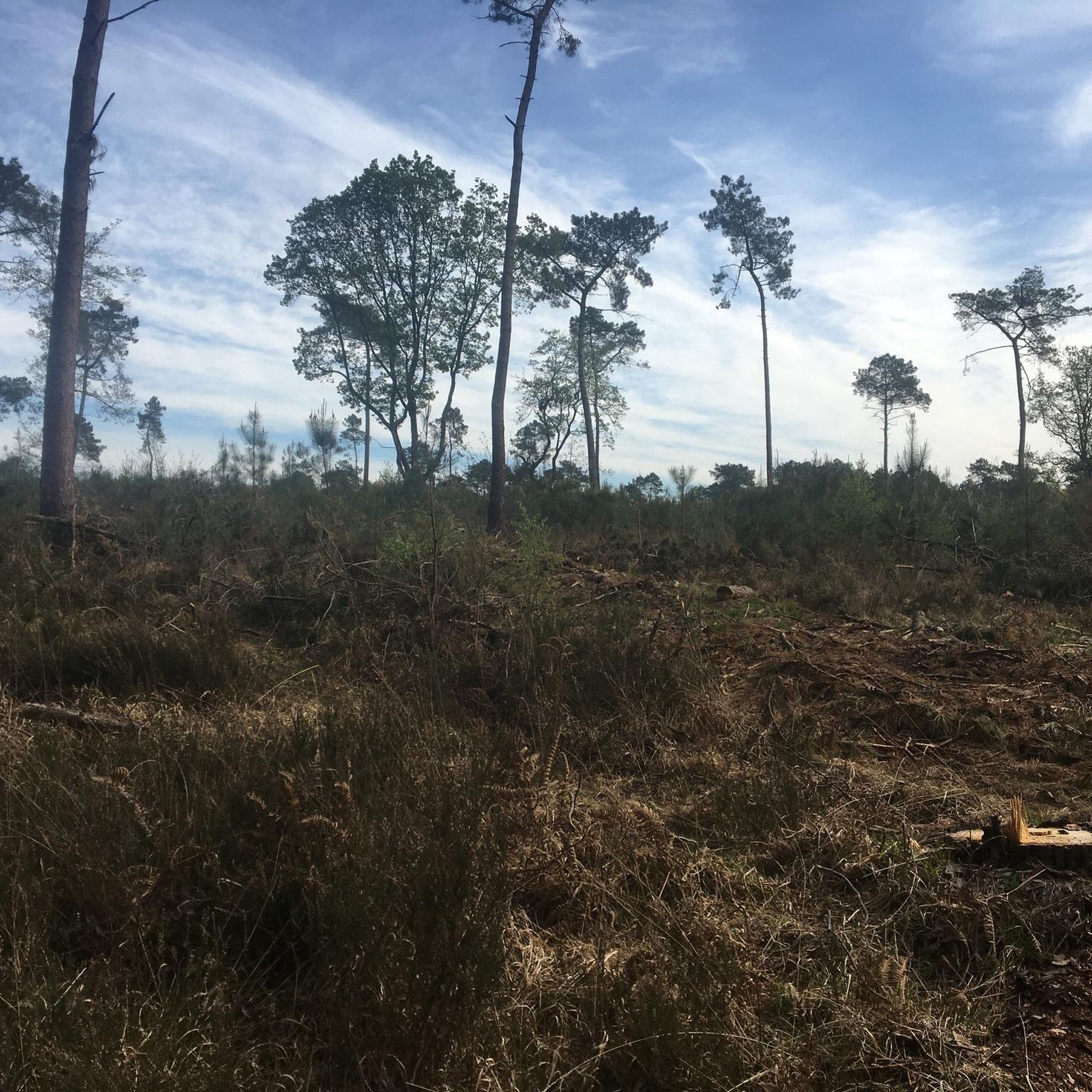

Tips from the Community

A prosperous trading town since the Middle Ages, Vitré has preserved its well-preserved heritage. With its fortified castle, cobbled streets, and half-timbered houses, the town offers plenty to see and do, making it perfect for a stroll. It's the perfect place to soak up the Breton atmosphere.
0
0

Bird watching possible!
0
0

Château de Vitré is a castle worth seeing in this small, beautiful town.
0
0

An absolute highlight.😃 If you are in the area, you shouldn't miss this pretty town and the castle complex!
0
0

superb castle to see.
0
0

This Guinguette de Villanfray is a superb spot for a break in the shade, a drink or a snack, and even a game of pétanque. I recommend this relaxing spot with a view of the Château de Villanfray.
0
0


Frequently Asked Questions
How many gravel bike trails are available around Marpiré?
There are 15 gravel bike routes around Marpiré, offering a diverse range of experiences. These include 1 easy route, 12 moderate routes, and 2 difficult routes, catering to various skill levels.
What kind of terrain can I expect on gravel bike trails in Marpiré?
Gravel biking around Marpiré features a mix of wooded areas, quiet country roads, and agricultural lands. You'll encounter unpaved paths, including 'chemins creux' (holloways), which add varied sections to the routes. The terrain is generally rolling, with modest elevation changes between 69m and 119m.
Are there any easy gravel bike routes suitable for beginners or families?
Yes, there is one easy gravel bike route available. The Cantache Pond – Cantache dam loop from La Motte is an easy 16.8 km path, perfect for a quicker ride or those looking for a less challenging experience.
What are some notable landmarks or attractions I can see along the gravel bike trails?
Many routes offer scenic views and pass by interesting points. You can find highlights such as the Cantache Pond, the Chevré Mill and Pond, and a beautiful viewpoint over the Étang de la Corbière. Some routes also lead near historical sites like Vitré Castle and Notre-Dame Church.
Are there any circular gravel bike routes around Marpiré?
Yes, many of the gravel bike routes in the area are circular. For example, the popular Cantache dam – Cantache Pond loop from Châteaubourg is a 61.9 km moderate trail that circles the dam and pond. Another option is the Cantache Pond – Cantache dam loop from Taillis, which is 26.5 km.
What do other gravel bikers say about the trails in Marpiré?
The gravel bike routes around Marpiré are highly rated by the komoot community, with an average score of 4.4 stars from over 40 reviews. Many users appreciate the varied terrain, the tranquility of the wooded sections, and the open vistas of the countryside.
What is the best time of year for gravel biking in Marpiré?
Marpiré's rural setting and forested areas make it enjoyable for gravel biking across multiple seasons. Spring and autumn offer pleasant temperatures and vibrant scenery. While some 'chemins creux' might be wet or muddy in winter, the generally rolling terrain is accessible for much of the year.
Are there any longer, more challenging gravel bike routes for experienced riders?
Yes, for experienced riders looking for a longer challenge, the Cantache dam – Cantache Pond loop from Châteaubourg is a moderate 61.9 km route. Another option is the Cantache Dam – Cantache dam loop from Servon, which covers 49 km and offers a substantial ride.
Can I find routes that combine natural landscapes with historical sites?
Absolutely. The region around Marpiré is known for its rich built heritage. For instance, the Vitré Castle – Plan d'Eau de la Cantache loop from Châteaubourg is a 45.1 km route that allows you to experience both the natural beauty of the Plan d'Eau de la Cantache and the historical significance of Vitré Castle.
What kind of natural features define the gravel biking experience in Marpiré?
The gravel biking experience in Marpiré is defined by its picturesque rural setting, characterized by a mix of wooded areas, quiet country roads, and agricultural lands. You'll ride through areas near forests like the Forêt de Chevré and the Bois de la Lisière, offering numerous unpaved paths and scenic surroundings.
Are there options for different difficulty levels among the gravel trails?
Yes, the routes around Marpiré cater to various skill levels. You'll find 1 easy route, 12 moderate routes, and 2 difficult routes, ensuring there's something for everyone from beginners to advanced gravel bikers.
Most popular attractions around Marpiré

Get inspired with the komoot mobile app


Explore more
Browse the best Gravel rides in other regions.
