The best gravel rides around Ban-De-Laveline
4.4
(14)
70
riders
24
rides
Gravel biking around Ban-De-Laveline offers routes through the mountainous terrain of the Vosges region. The area is characterized by significant elevation changes, dense forests, and scenic passes, providing varied surfaces for gravel cycling. Riders can expect a landscape shaped by valleys and ridges, supporting routes with sustained climbs and descents. The region's topography includes forest tracks, rural roads, and high-altitude meadows, ideal for gravel cycling.
Best gravel bike trails around Ban-De-Laveline
- The most popular gravel bike trail is Bikepark Lac…
Last updated: October 6, 2026
4.0
(3)
7
riders
23.1km
02:18
720m
720m
Hard gravel ride. Very good fitness required. You may need to push your bike for some segments of this route.
5
riders
Hard gravel ride. Very good fitness required. Mostly paved surfaces. Suitable for all skill levels.

4.3
(3)
6
riders
13.7km
00:53
160m
160m
Moderate gravel ride. Good fitness required. Mostly paved surfaces. Suitable for all skill levels.
4.5
(2)
8
riders
48.9km
03:46
810m
810m
Hard gravel ride. Very good fitness required. Mostly paved surfaces. Suitable for all skill levels.
3
riders
25.5km
02:15
650m
650m
Hard gravel ride. Very good fitness required. Mostly paved surfaces. Suitable for all skill levels.
Get access to more routes and recommendations from other explorers.
Already have an account?
Our route recommendations are based on thousands of hikes, rides, and runs completed by other people on komoot.
Start today with a free account
Your next adventure awaits.

Tips from the Community

very rocky and bumpy, slippery when wet
0
0

The Col du Calvaire (1144 m) is a mountain pass in the Vosges that connects Le Valtin to Orbey in Alsace. Situated on the Route des Crêtes, between the Col du Bonhomme and the Col de la Schlucht, this pass offers magnificent views of Lac Blanc and the surrounding peaks. The name refers to an old Calvary that once stood above the lake. During the First World War, the German front line ran along this pass, which also gives the place a historical charge. In winter, the pass is part of the Lac Blanc ski area and is partly closed to traffic.
7
0


This inn is located at an altitude of 950 meters in the middle of the Vosges mountains and offers, from its terrace, a magnificent view of the valleys. You will find all types of beds ranging from dormitories to private rooms. Their table d'hôtes should also bring you comfort after a good day of walking.
1
0

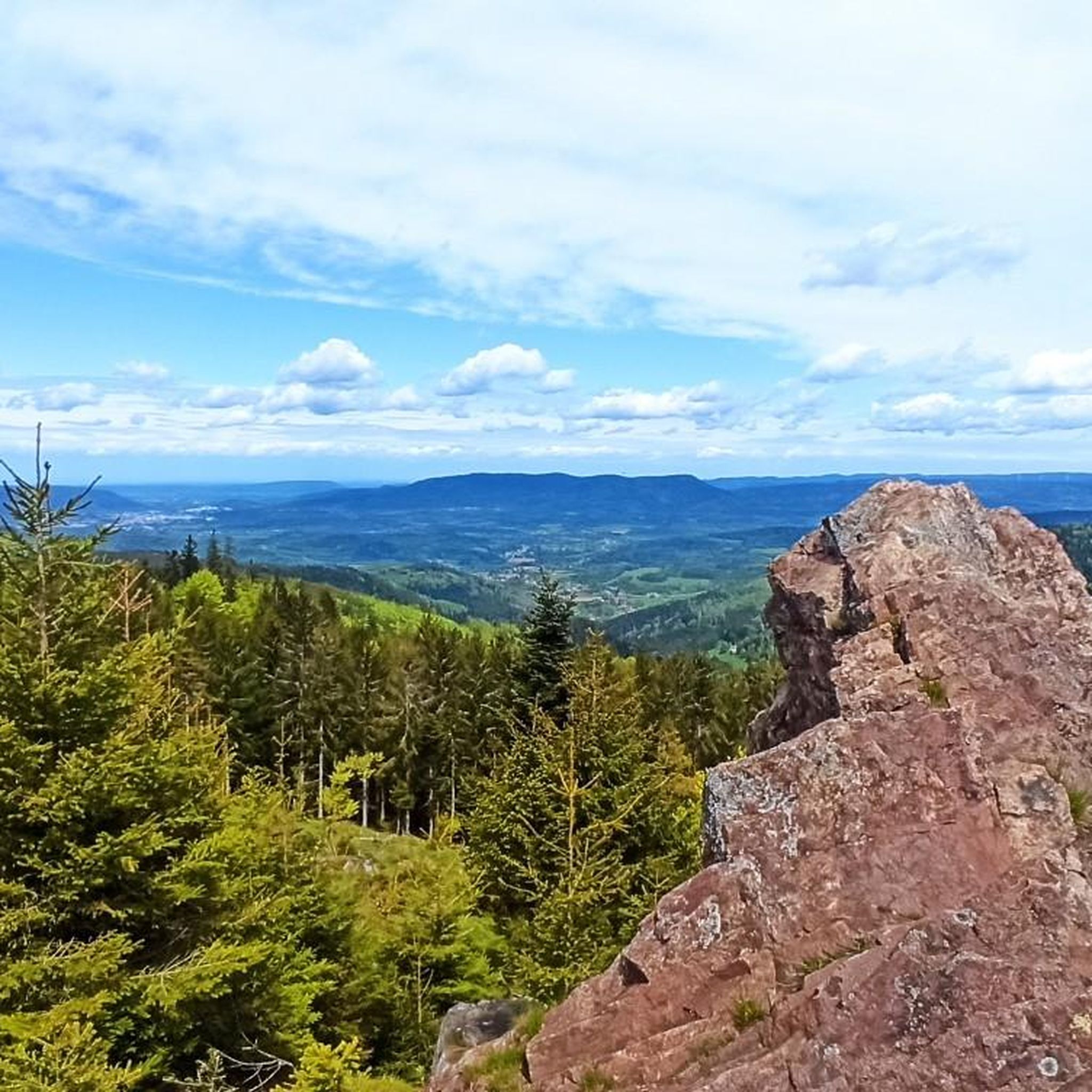
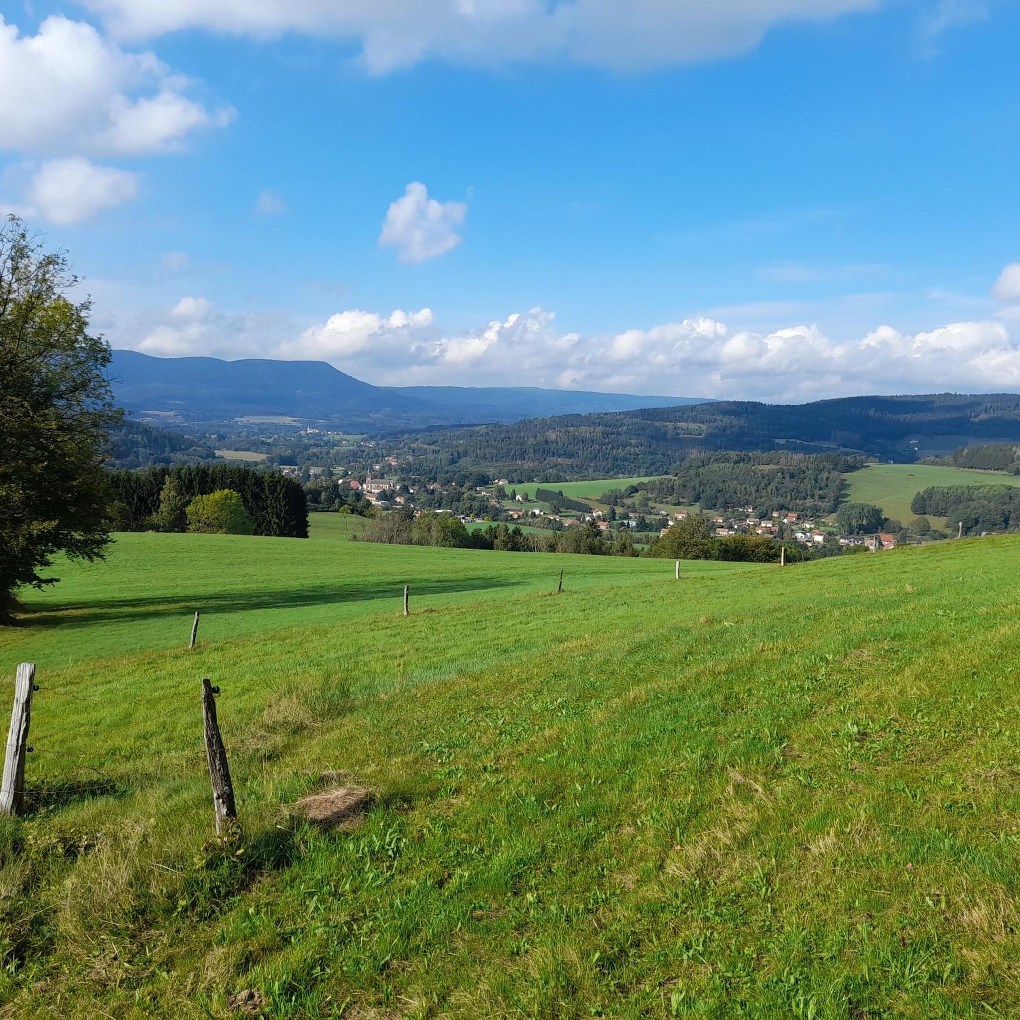
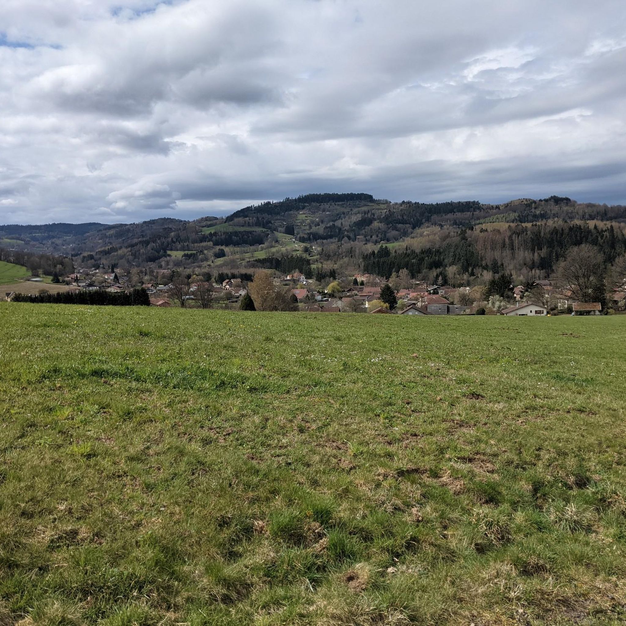
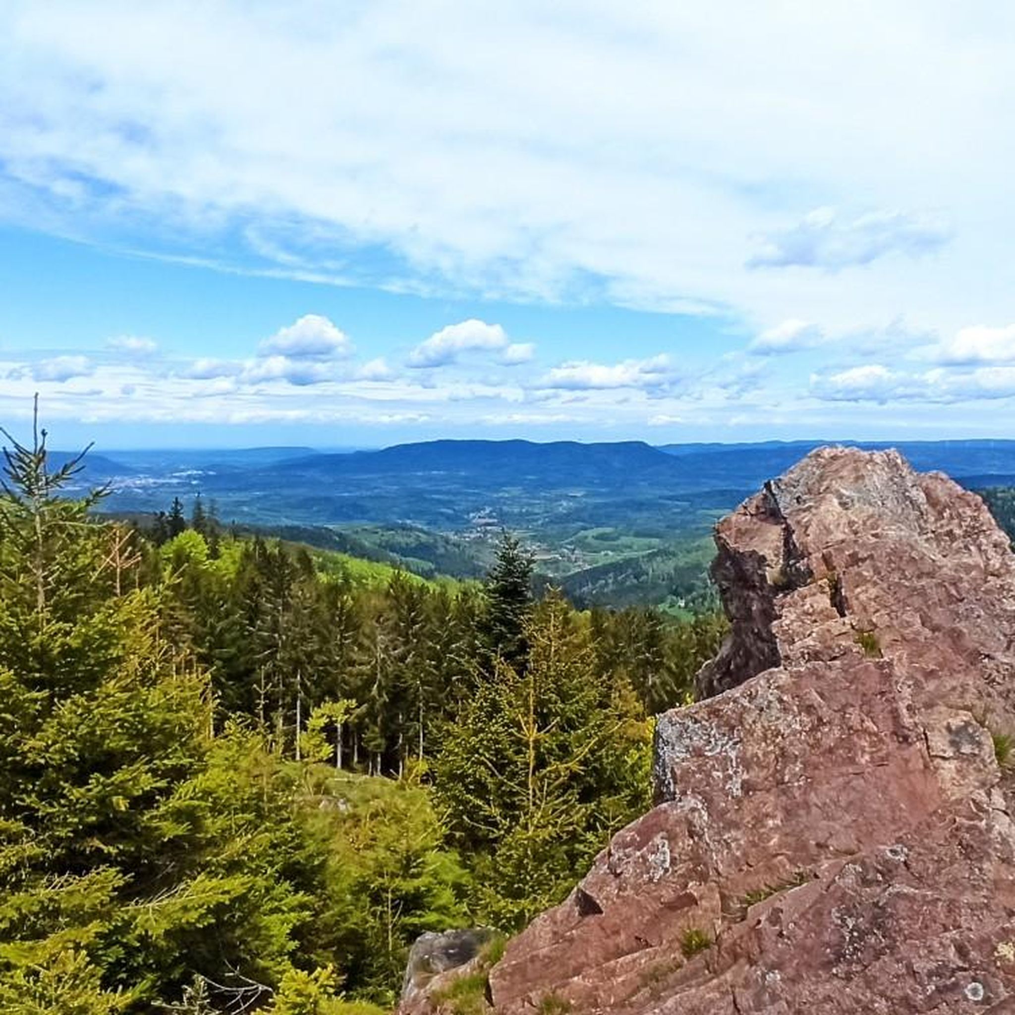
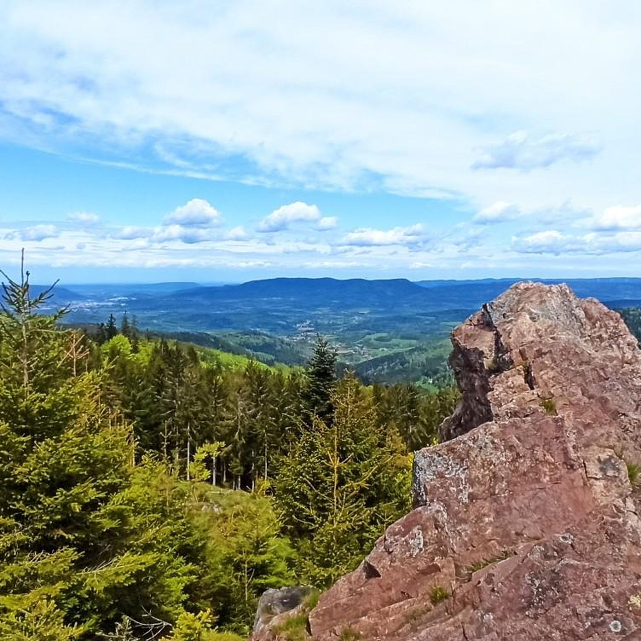
The foothills of the Vosges offer perfect terrain for mountain biking. In addition to the hilly terrain dotted with paths and trails, there are beautiful views, such as here over the Meurthe Valley.
0
0

There are no cars here early in the morning. Perfect peace and quiet and a long but moderate climb in both directions with a correspondingly fun descent
2
0

3rd category pass from Sainte Marie aux Mines: 7.3 km at 5.4% average.
1
0
Frequently Asked Questions
What is the typical difficulty level of gravel bike trails around Ban-De-Laveline?
The region primarily offers challenging routes due to its mountainous Vosges terrain. There are 14 difficult routes and 5 moderate routes, making it more suitable for experienced riders seeking significant elevation changes and varied surfaces.
Are there any long-distance or circular gravel bike routes available?
Yes, many routes are designed as loops. For a longer, challenging ride, consider the Bikepark Lac Blanc – Route des Crêtes loop from Col du Bonhomme, which covers 27.6 miles (44.4 km) through mountain passes. Another option is the Riquewihr Vineyards – Bagenelles Pass loop from Le Bonhomme, spanning 48.2 km with significant elevation.
Are there any family-friendly gravel biking options in the area?
While most routes are rated moderate to difficult due to the mountainous terrain, some sections might be suitable for families with older, experienced children. The area is characterized by sustained climbs and descents, so riders should be prepared for physical exertion. Always check the route details for elevation profiles before heading out with family.
What kind of natural attractions can I expect to see along the gravel bike trails?
The routes often pass by beautiful natural landmarks. You might encounter the serene Lac Blanc or the mysterious Black Lake. For stunning panoramic views, look out for spots like Hautes Chaumes Near Lac Blanc or the summit of Gazon du Faing.
What is the best time of year for gravel biking around Ban-De-Laveline?
The mountainous terrain of the Vosges means that spring through autumn generally offers the most favorable conditions. Summers provide pleasant temperatures for riding through dense forests and along passes. Winters can bring snow and ice, making many trails challenging or impassable for gravel biking, especially at higher elevations.
Are there any routes that offer vineyard views?
Yes, the region is known for its diverse landscapes, including vineyards. The Riquewihr Vineyards – Bagenelles Pass loop from Le Bonhomme is one such route that will take you through or near the picturesque vineyards, offering a different scenic experience compared to the dense forests and mountain passes.
What do other gravel bikers enjoy the most about gravel biking in Ban-De-Laveline?
The area is highly rated by the komoot community, with an average score of 5.0 stars from more than 4 reviews. Riders often praise the varied terrain, the challenge of the mountain passes, and the scenic beauty of the Vosges forests and lakes. The network offers a good mix for both moderate and advanced gravel cyclists.
Are there any routes that specifically feature the Route des Crêtes?
Yes, the Bikepark Lac Blanc – Route des Crêtes loop from Col du Bonhomme is a notable route that leads through mountain passes and along sections of the famous Route des Crêtes, offering spectacular views and a challenging ride.
Can I find routes that explore the area around Lac Blanc?
Absolutely. The Bikepark Lac Blanc – Lac Blanc loop from Rocher Hans is a popular difficult route that features significant elevation gain around the beautiful Lac Blanc, providing both a physical challenge and stunning scenery.
Are there any routes that offer views from the Haut de Ribeauvillé Pass?
Yes, the Haut de Ribeauvillé Pass – Haut de Ribeauvillé Pass loop from Zillardhof is a difficult 15.8-mile (25.5 km) path that navigates through forests and provides excellent views from the Haut de Ribeauvillé Pass itself.
How many gravel bike trails are available in total around Ban-De-Laveline?
There are 19 gravel bike trails available around Ban-De-Laveline, offering a wide range of options for different skill levels, though the majority are rated as difficult.
Most popular routes around Ban-De-Laveline
Most popular attractions around Ban-De-Laveline

Get inspired with the komoot mobile app


Explore more
Browse the best Gravel rides in other regions.
