The best walks and hikes around Ban-De-Laveline
4.5
(1213)
5,693
hikers
24
hikes
Hiking around Ban-De-Laveline offers access to the mountainous environment of the Vosges, characterized by forests, valleys, and significant elevation changes. The commune is situated within the Ballons des Vosges Regional Natural Park, with altitudes ranging from 403 meters to 1,031 meters. The Morte River flows through the area, contributing to the picturesque scenery. This region provides varied terrain suitable for different skill levels.
Best hiking trails around Ban-De-Laveline
- The most popular hiking route is Birch Forest loop from Coinches,…
Last updated: July 1, 2026
4.6
(9)
34
hikers
5.56km
01:36
140m
140m
Easy hike. Great for any fitness level. Easily-accessible paths. Suitable for all skill levels.
4.6
(9)
35
hikers
5.21km
01:30
130m
130m
Easy hike. Great for any fitness level. Easily-accessible paths. Suitable for all skill levels.

Sign up for free
4.4
(10)
24
hikers
12.0km
03:35
360m
360m
Moderate hike. Good fitness required. Easily-accessible paths. Suitable for all skill levels.
3.0
(1)
9
hikers
7.63km
02:17
230m
230m
Moderate hike. Good fitness required. Easily-accessible paths. Suitable for all skill levels.
5.0
(3)
15
hikers
9.09km
02:32
170m
170m
Moderate hike. Good fitness required. Easily-accessible paths. Suitable for all skill levels.
Get access to more routes and recommendations from other explorers.
Sign up for free
Already have an account?
Our route recommendations are based on thousands of hikes, rides, and runs completed by other people on komoot.
Start today with a free account
Your next adventure awaits.
Login or Signup


Tips from the Community

Nestled in a valley between wooded hills, this peaceful village is a gateway to the Vosges. During the First World War, it was close to the front, which is still visible in the area via bunkers, trenches and memorials. Today, Ban-de-Laveline is a popular base for hikers and cyclists, with routes to the Col d’Hermanpaire, the Spitzemberg and the nature reserve around the Tête de Raves. In the village itself, you will find a sober Église Saint-Laurent, a classic Monument aux Morts, and a peaceful atmosphere that invites you to explore.
9
0

An alignment of granite bollards runs along the path.
0
0

The Quiche Lorraine is great. Last visited: Saales, Hohneck 2019_07_12 Vosges Tour 2019 E03 https://www.komoot.de/tour/78472517
1
1
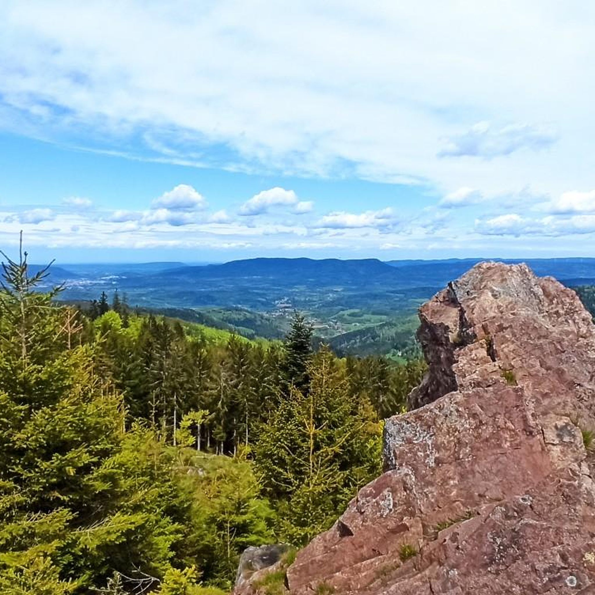
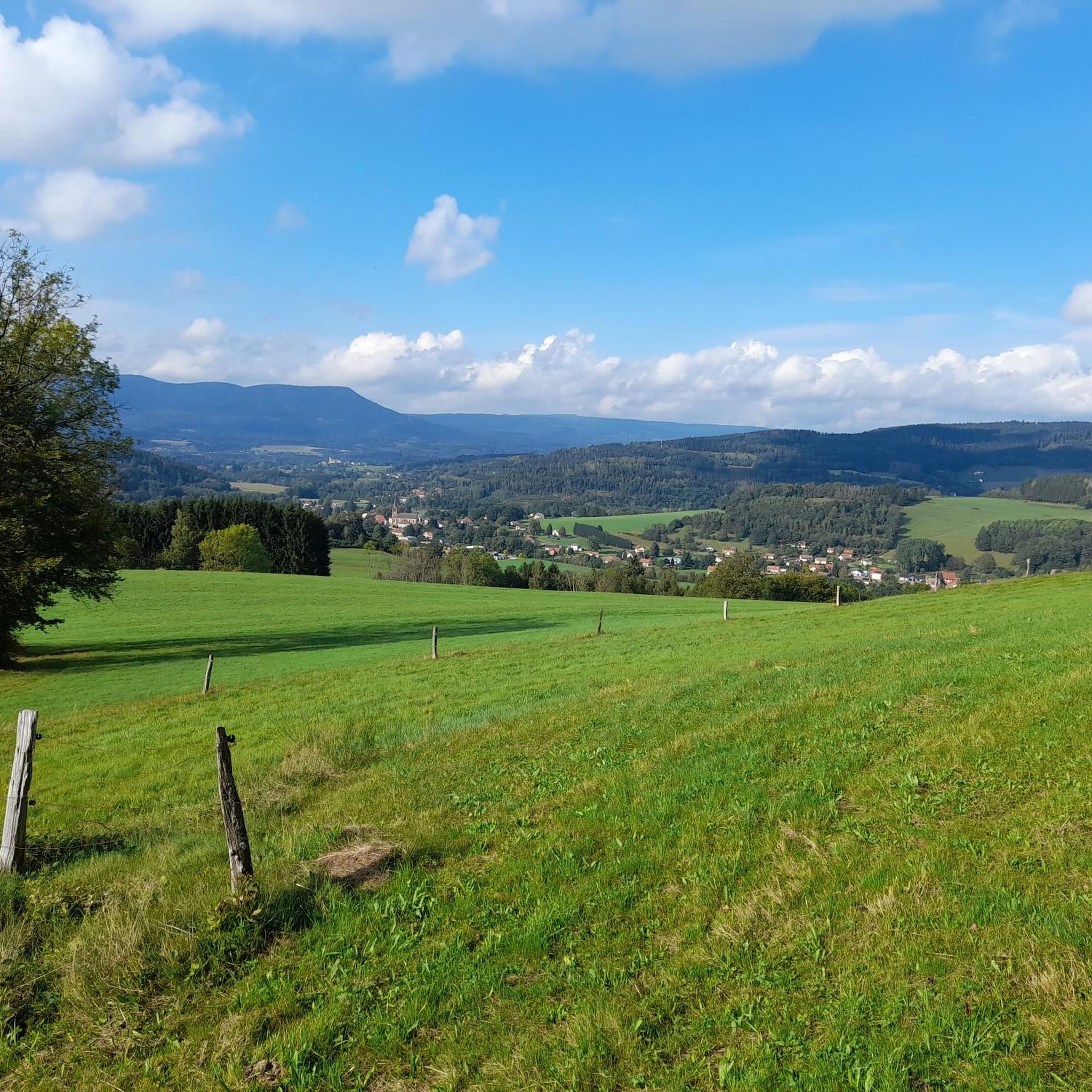
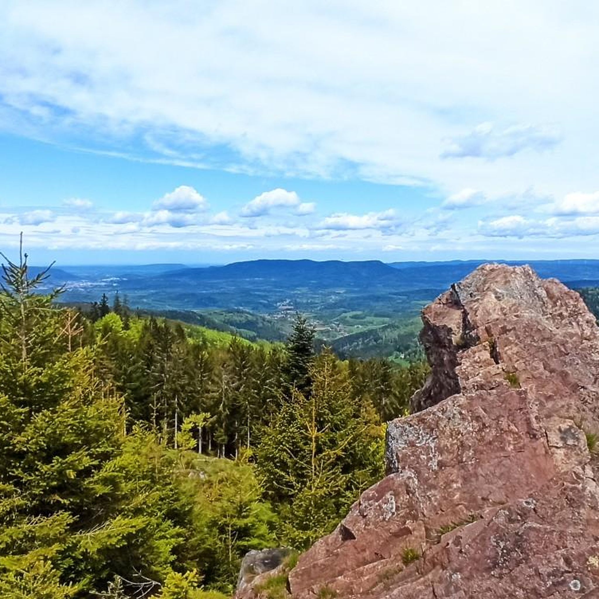
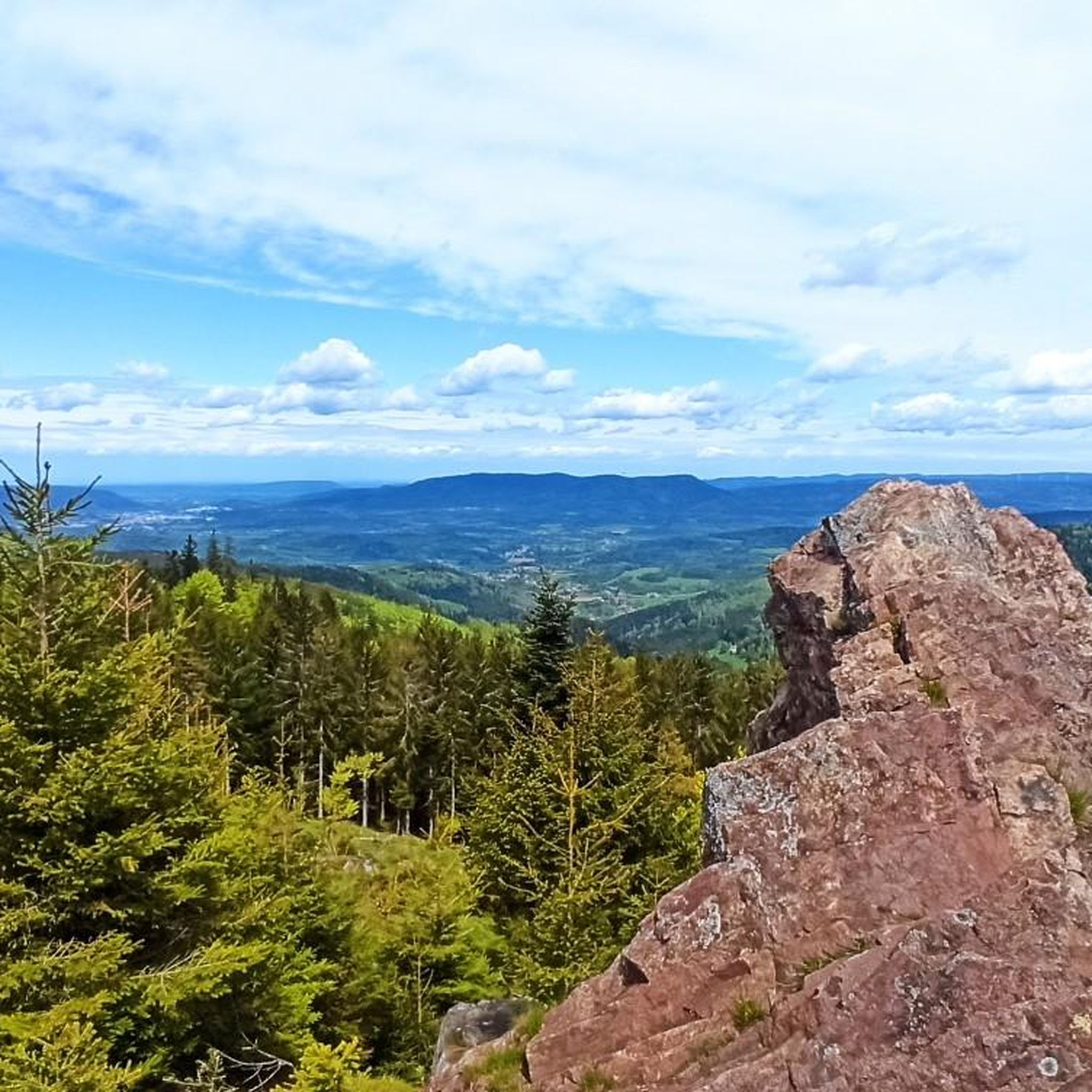
After crossing the meadows, and before entering the forest, a magnificent view of the valley and Ban de Laveline, with the occasional presence of game.
0
0
Frequently Asked Questions
How many hiking trails are available in Ban-de-Laveline?
There are over 20 hiking routes around Ban-de-Laveline, catering to various skill levels. You'll find 13 easy routes, 10 moderate trails, and 1 challenging hike for experienced adventurers.
Are there any easy, family-friendly walks in Ban-de-Laveline?
Yes, Ban-de-Laveline offers several easy trails suitable for families. The Birch Forest loop from Coinches is a pleasant 5.6 km walk through the birch forest, taking about 1 hour 36 minutes. Another option is the Birch Forest loop from Ban-de-Laveline, which is 5.2 km long and takes around 1 hour 30 minutes.
Where can I find trails with panoramic viewpoints in the area?
For stunning views, consider the View of Ban de Laveline – Ban-de-Laveline loop from Ban-de-Laveline. This moderate 12 km path offers panoramic vistas of the valley and the Saint-Dié basin. The Sorémont Plateau also features various hiking itineraries with viewpoints overlooking Saint-Dié.
What are some notable natural attractions or landmarks to see while hiking?
The region is rich in natural beauty. You can explore nearby mountain lakes like Lac Blanc and Black Lake. The Gazon du Faing, a magnificent plateau with peat bogs, offers 360-degree views. The Belmont observatorium Viewpoint and the Roche des Abris are also significant natural landmarks.
Are there any long-distance or challenging hikes for experienced hikers?
Yes, for a more challenging experience, the Liberty's tree – Cabane loop from Sorémont is a difficult 18.9 km trail that leads through the Sorémont Plateau and typically takes around 5 hours 48 minutes to complete. The region is also part of the GR® de Pays de La Ligne Bleue des Vosges, a 177 km route for multi-day treks.
What is the best time of year for hiking in Ban-de-Laveline?
The summer months are ideal for hiking in Ban-de-Laveline, especially for trails at higher altitudes like the Tanet-Gazon du Faing Nature Reserve, where cooler temperatures provide a pleasant experience. The diverse landscapes of forests and valleys are beautiful throughout spring, summer, and autumn.
Can I find circular hiking routes in Ban-de-Laveline?
Many of the trails in Ban-de-Laveline are designed as loops, offering convenient circular walks. Examples include the Birch Forest loop from Coinches and the View of Ban de Laveline – Ban-de-Laveline loop. The Sorémont Plateau also features a 'circuit des quatre fontaines' which is a circular route.
What do other hikers say about the trails in Ban-de-Laveline?
The hiking routes in Ban-de-Laveline are highly rated by the komoot community, with an average score of 4.5 stars from over 1,100 reviews. Hikers often praise the diverse terrain, from dense forests to scenic valleys, and the well-maintained paths that offer options for all ability levels.
Are there any historical sites or cultural excursions near the hiking trails?
Beyond hiking, the region offers historical sites related to the Great War. You can also visit nearby Alsatian villages like Colmar, Riquewihr, and Eguisheim, or explore the old silver mine of La Croix-aux-Mines for a cultural experience.
What kind of terrain can I expect on the hikes around Ban-de-Laveline?
Hiking around Ban-de-Laveline means immersing yourself in the mountainous environment of the Vosges. You can expect a mix of dense forests, picturesque valleys, and significant elevation changes, with altitudes ranging from 403 meters to 1,031 meters. The Morte River also adds to the scenic beauty.
Are there any trails that pass by lakes or offer views of water?
Yes, the region is known for its beautiful mountain lakes. While hiking, you might encounter views of Lac Blanc or Black Lake. There are also dedicated walking trails on the shores of Lac Blanc, offering pleasant strolls by the water.
Most popular routes around Ban-De-Laveline
Most popular attractions around Ban-De-Laveline

Get inspired with the komoot mobile app


Explore more
Browse the best Hikes in other regions.
