The best road cycling routes around Ban-De-Laveline
4.2
(389)
5,901
riders
198
rides
Road cycling routes around Ban-De-Laveline are characterized by varied elevation, featuring numerous passes and climbs through a landscape of hills and valleys. The region offers a mix of challenging ascents and more moderate paths, often winding through forested areas and open terrain. Road cyclists can expect routes that navigate significant elevation changes, providing diverse experiences.
Best road cycling routes around Ban-De-Laveline
- The most popular road cycling route is Col de Mandray – Bagenelles Pass loop from Échery, a 31.9…
Last updated: July 5, 2026
73
riders
51.3km
03:03
1,300m
1,300m
Hard road ride. Very good fitness required. Mostly well-paved surfaces and easy to ride.
5.0
(2)
41
riders
53.8km
02:30
650m
650m
Moderate road ride. Good fitness required. Mostly well-paved surfaces and easy to ride.

Sign up for free
4.5
(4)
31
riders
30.0km
01:16
200m
200m
Easy road ride. Great for any fitness level. Mostly well-paved surfaces and easy to ride.
5.0
(1)
27
riders
43.6km
02:37
990m
990m
Hard road ride. Very good fitness required. Mostly well-paved surfaces and easy to ride.
17
riders
109km
06:07
2,380m
2,380m
Hard road ride. Very good fitness required. Mostly well-paved surfaces and easy to ride.
Get access to more routes and recommendations from other explorers.
Sign up for free
Already have an account?
Our route recommendations are based on thousands of hikes, rides, and runs completed by other people on komoot.
Start today with a free account
Your next adventure awaits.
Login or Signup


Tips from the Community


If you take the climb from Mandray village - and follow the - rusty - sign to the Col - that is different kind of cookie! 2, 9 km , averages at 11% with peaks up to 17%, and tough road conditions. Descend to Fraize is a blast!
0
0

Not that the road surface is perfect now, but the potholes have all been repaired in the meantime, so the Joseph Valentin route is now pothole-free. Status: April 2026
1
0

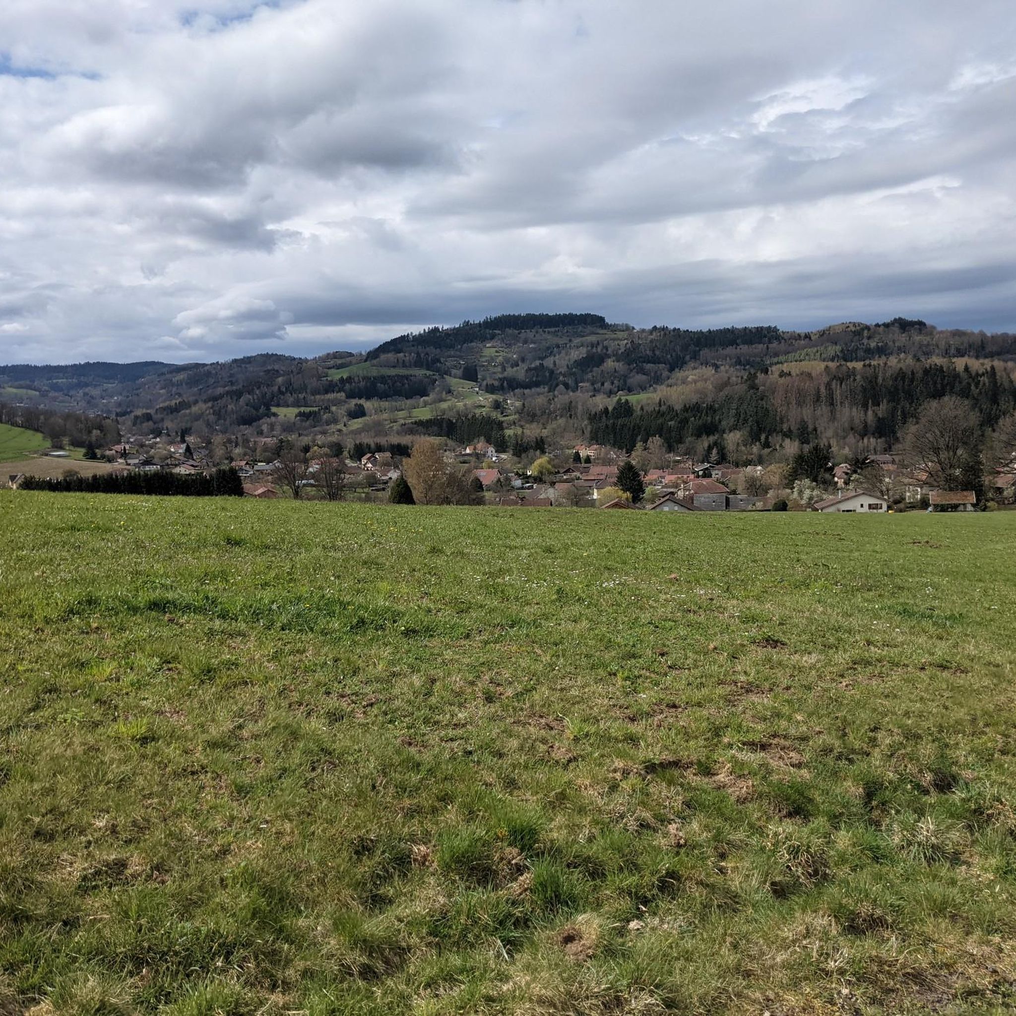
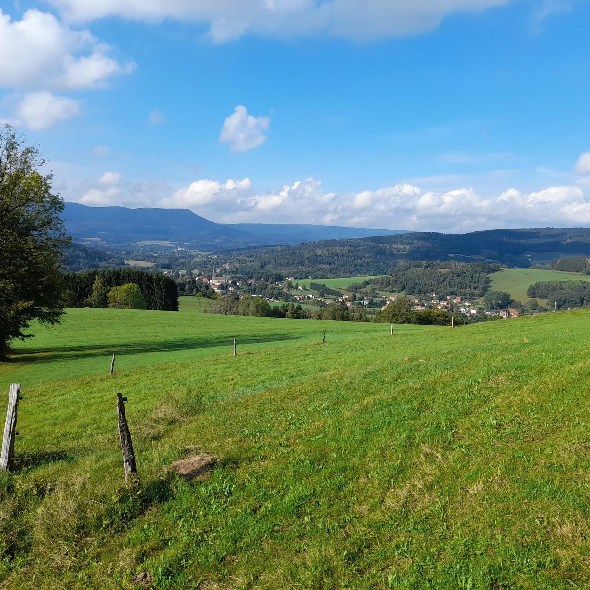
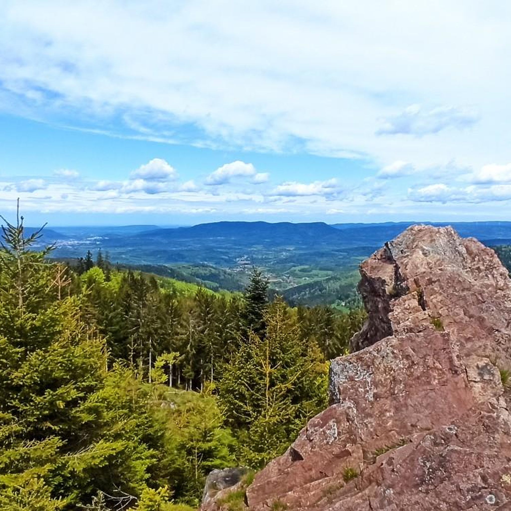
yes up there you have a good view
2
0


A charming Alsatian village with approximately 4,700 inhabitants. The old town is well worth seeing with its colorful houses. Ribeauvillé is also very popular because of the hike to its three castle ruins that overlook the town.
9
0

The church on the town hall square formerly belonged to an Augustinian monastery, but today to the convent of the Divine Providence, with a sundial visible at the corner of the sacristy leading to Rue des Frères Mertain.
6
0
Everything written about the road surface and gradient of this small forest road is correct. It is unsuitable for a fast descent with a road bike. However, it is very suitable for riding up, provided you have the fitness and leg strength, as towards the end, just below the Col de Bonhomme, it has a gradient of 15%. The potholes on this asphalt stretch can be easily avoided when riding uphill. It therefore represents a real alternative to the D415, the Route d'Alsace, as this is very busy. I therefore advise against the D415 and recommend taking this beautiful, very quiet small forest road, the Route Joseph Valentin, where you really meet no one - and certainly no cars. Date: July 2025
0
0
Frequently Asked Questions
How many road cycling routes are available in Ban-De-Laveline?
There are nearly 200 road cycling routes around Ban-De-Laveline, offering a wide variety of options for different skill levels and preferences. You'll find everything from easy loops to challenging mountain passes.
Are there easy road cycling routes suitable for beginners in Ban-De-Laveline?
Yes, Ban-De-Laveline offers 24 easy road cycling routes perfect for beginners or those looking for a relaxed ride. One example is the Anozel Pass – Saint Martin Church loop from Mandray, an 18.6-mile (30.0 km) trail with an easy difficulty, often completed in about 1 hour 15 minutes.
What are the most challenging road cycling routes in Ban-De-Laveline?
For experienced cyclists seeking a challenge, Ban-De-Laveline features 52 difficult routes. A notable one is the Haut de Ribeauvillé Pass – White Lake loop from Raves, which spans over 67 miles (109 km) and includes more than 2,300 meters of elevation gain, traversing multiple significant passes.
Are there any circular road cycling routes in the Ban-De-Laveline area?
Yes, many of the routes in Ban-De-Laveline are designed as circular loops, allowing you to start and end at the same point. For instance, the Liberty Tower – Bertrimoutier church loop from Wisembach is a moderate 33.4-mile (53.8 km) circular path offering a mix of rolling terrain and climbs.
What kind of scenery can I expect on road cycling routes around Ban-De-Laveline?
The region is characterized by varied elevation, with routes winding through forested areas, open terrain, and scenic valleys. You'll encounter numerous passes and climbs, offering diverse landscapes. Many routes provide stunning views, especially from higher elevations.
What can I see along the road cycling routes in Ban-De-Laveline?
Many routes pass by beautiful natural attractions. You might encounter stunning lakes like Lac Blanc or Black Lake, or enjoy panoramic views from summits such as Gazon du Faing. Some trails also lead through the Tanet–Gazon du Faing Nature Reserve.
What do other road cyclists enjoy most about road cycling in Ban-De-Laveline?
The area is highly rated by the komoot community, with an average score of 4.1 stars from over 300 reviews. Cyclists often praise the varied terrain, the challenging climbs through scenic passes, and the well-maintained paths that cater to different ability levels.
When is the best time of year for road biking in Ban-De-Laveline?
The best time for road biking in Ban-De-Laveline is typically from spring through autumn. Spring offers lush greenery, while autumn provides beautiful fall foliage. Summer is also popular, but be prepared for potentially warmer temperatures on climbs. Always check local weather conditions before heading out, especially for higher passes which might still have snow early in the spring.
Are there any moderate road cycling routes for intermediate cyclists?
Absolutely. Ban-De-Laveline boasts 115 moderate routes, perfect for intermediate cyclists. An example is the Haut de Ribeauvillé Pass – Haut de Ribeauvillé Pass loop from Échery, a 35.7 km route with over 840 meters of elevation gain, offering a good balance of challenge and enjoyment.
Are there road cycling routes that offer viewpoints or scenic overlooks?
Yes, many routes in the Ban-De-Laveline region feature stunning viewpoints. The mountainous terrain naturally provides numerous opportunities for panoramic vistas. For example, the Hautes Chaumes Near Lac Blanc is a popular viewpoint that can be incorporated into longer rides, offering expansive views of the landscape.
Are there options for less crowded road cycling routes in Ban-De-Laveline?
While some popular routes can see more traffic, the extensive network of nearly 200 routes means you can often find quieter paths, especially on weekdays or by exploring some of the less-trafficked local roads and smaller passes. Focusing on routes slightly off the main tourist trails can lead to a more serene cycling experience.
Most popular routes around Ban-De-Laveline
Most popular attractions around Ban-De-Laveline

Get inspired with the komoot mobile app


Explore more
Browse the best Road cycling routes in other regions.
