The best gravel rides around Saint-Jeoire
4.3
(55)
395
riders
48
rides
Gravel biking around Saint-Jeoire offers a diverse landscape characterized by river valleys, notably along the Arve and Borne, and ascents to cols. The region features a mix of forested paths, open areas with ponds, and routes that traverse varying elevations. This terrain provides a range of conditions suitable for different gravel biking experiences.
Best gravel bike trails around Saint-Jeoire
- The most popular gravel bike trail is Gorges du Borne – Footbridge over the Arve loop from Bonneville, a 37.4…
Last updated: July 3, 2026
4.5
(2)
30
riders
48.8km
03:13
470m
470m
Hard gravel ride. Very good fitness required. Mostly paved surfaces. Suitable for all skill levels.
5.0
(1)
15
riders
60.2km
04:51
1,750m
1,750m
Hard gravel ride. Very good fitness required. Mostly paved surfaces. Suitable for all skill levels.

Sign up for free
5
riders
32.6km
02:43
700m
710m
Hard gravel ride. Very good fitness required. You may need to push your bike for some segments of this route.
12
riders
37.2km
02:22
360m
360m
Moderate gravel ride. Good fitness required. Mostly paved surfaces. Suitable for all skill levels.
5.0
(1)
13
riders
54.4km
03:20
370m
370m
Moderate gravel ride. Good fitness required. Mostly paved surfaces. Suitable for all skill levels.
Get access to more routes and recommendations from other explorers.
Sign up for free
Already have an account?
Our route recommendations are based on thousands of hikes, rides, and runs completed by other people on komoot.
Start today with a free account
Your next adventure awaits.
Login or Signup
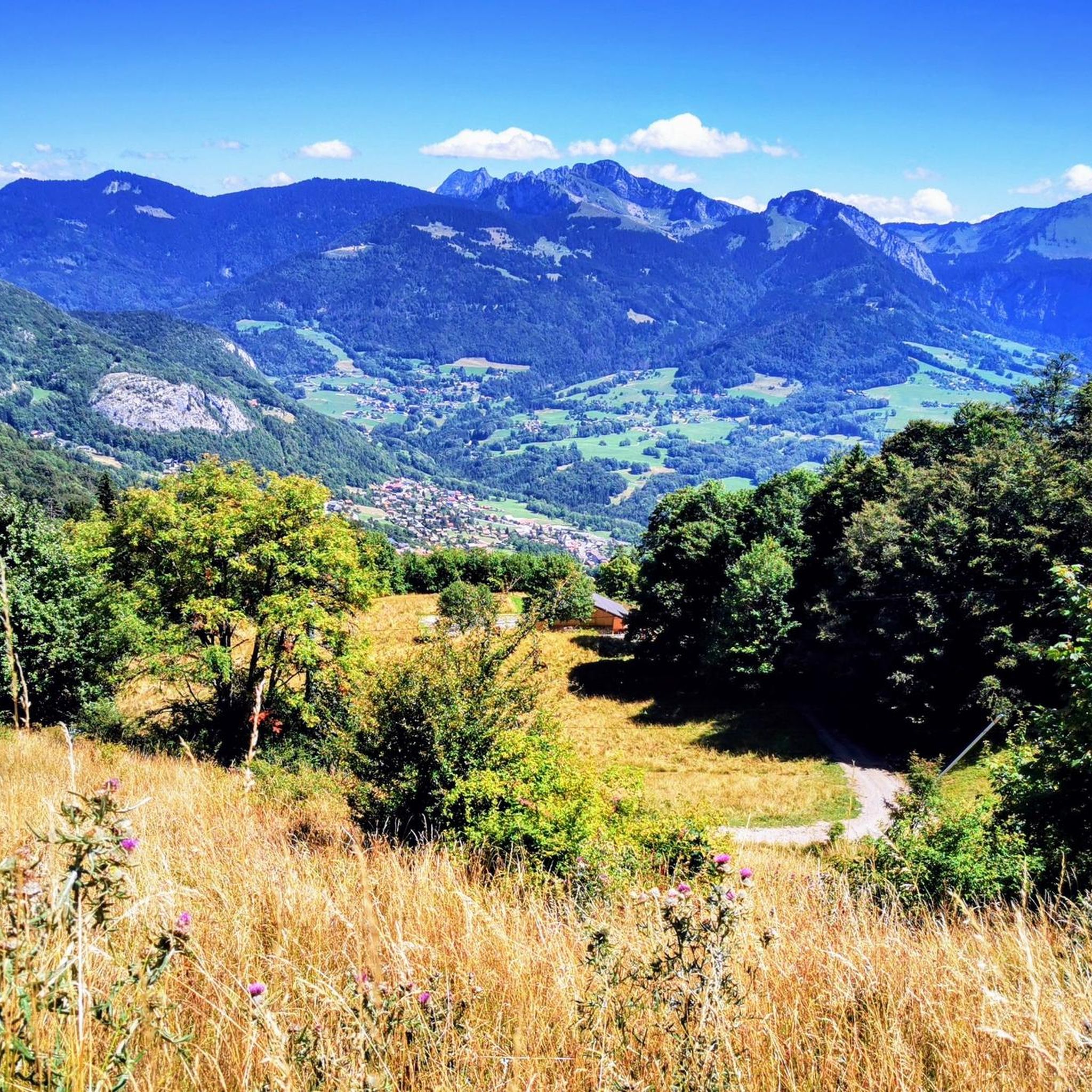
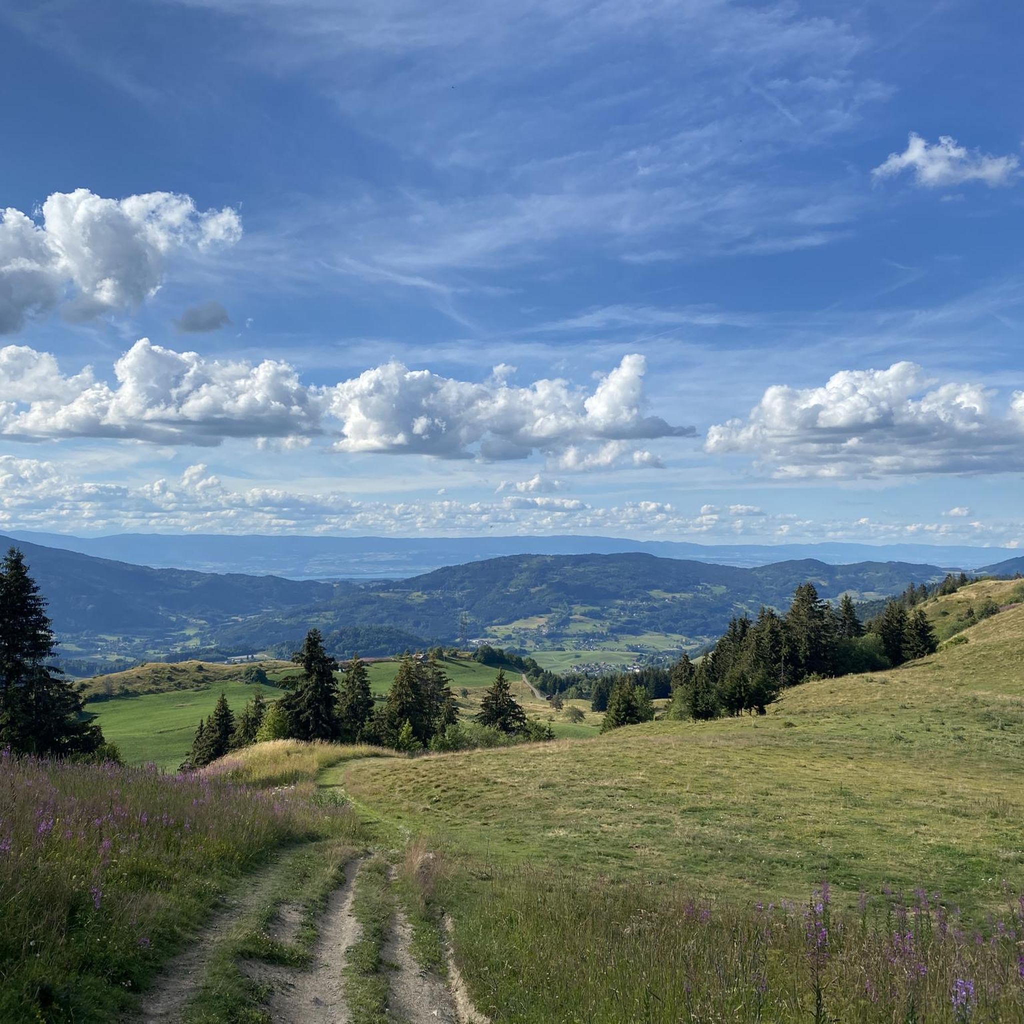
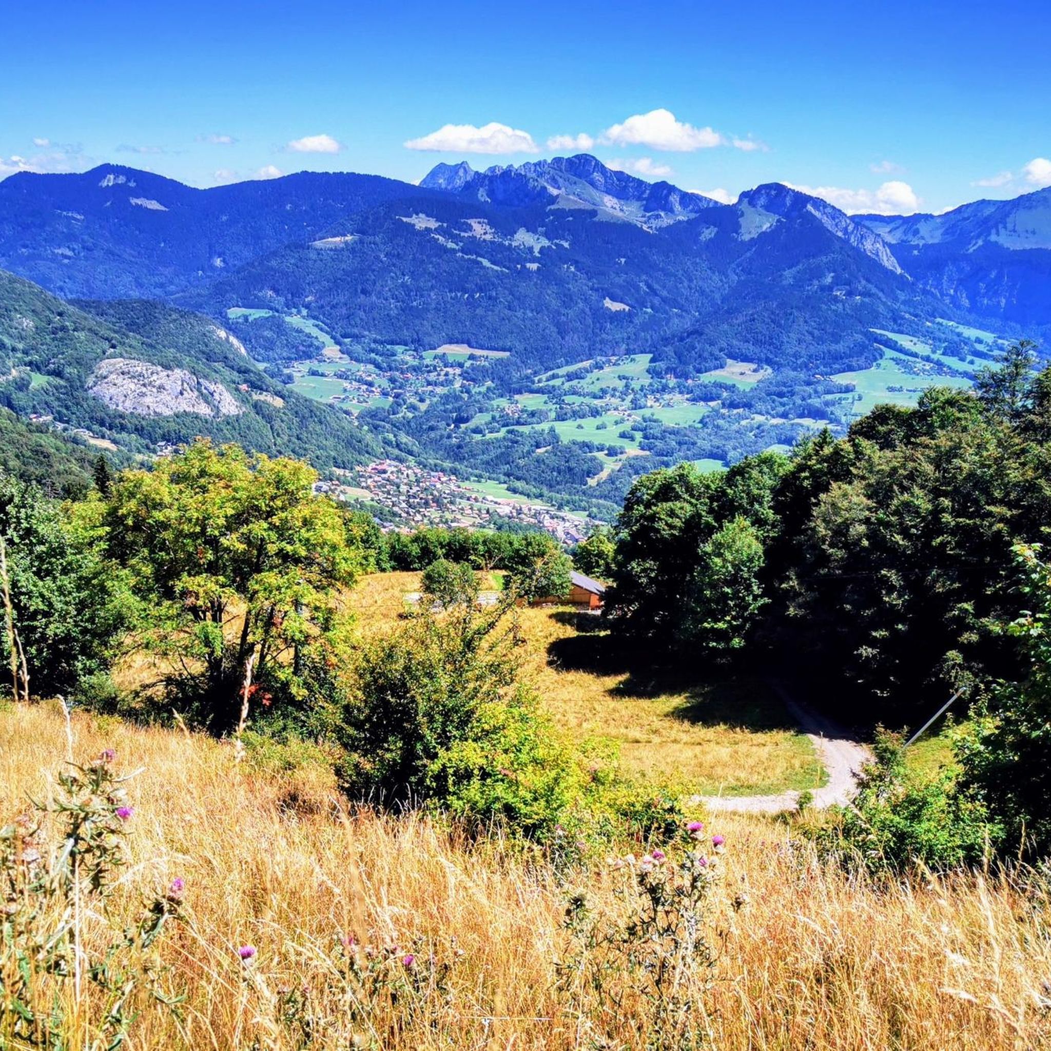
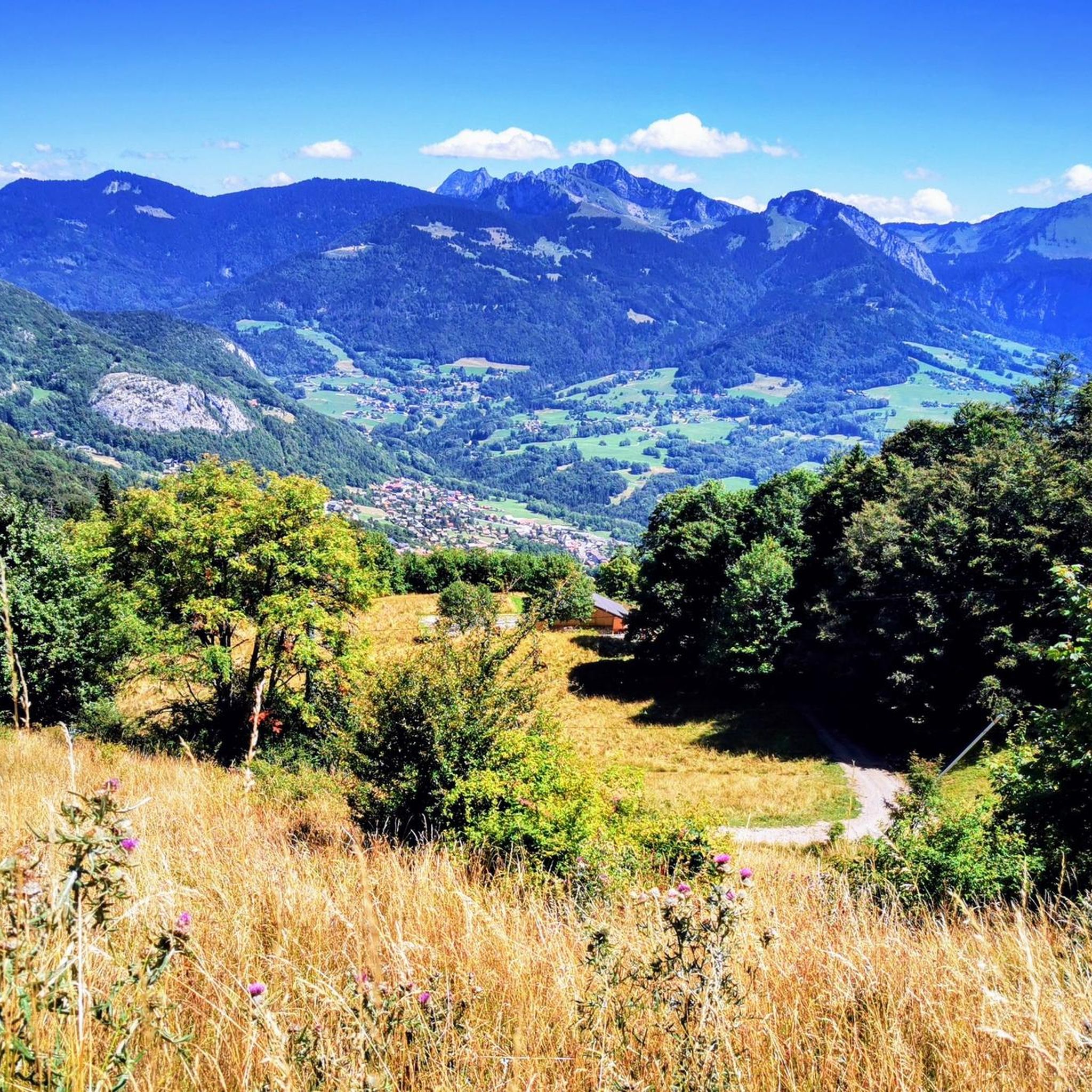
Tips from the Community

Intersection point Bucquigny (Roman Road) Altitude 650m
1
0


Beautiful view from the restaurant of the same name
0
0

The structure is an asymmetrical cable-stayed bridge made of pre-stressed concrete, approximately 75 metres long. The pylon inclined at 15° to the vertical has the shape of an inverted V; the deck crosses this pylon without resting on it.
1
0
The bridge is an element of the birth of the city, built from 1225. It was initially made of wood resting on the islands of the Arve to connect the two banks. In 1661, the Regent Marie-Jeanne-Baptiste of Savoy-Nemours had a stone bridge with five arches built. Between 1862 and 1866, it was replaced by the current bridge, built by the engineers Deglin and Vivenot. It was named "Pont de l'Europe" when Valérie Giscard d'Estaing passed through Bonneville in 1989, during the campaign for the European elections. Downstream, it was doubled in 2010 by a second asymmetrical cable-stayed bridge whose elegant silhouette is already part of Bonneville's architectural heritage.
1
0
Point of intersection The Islands of Clermont Altitude 436m
1
0
Frequently Asked Questions
How many gravel bike trails are available around Saint-Jeoire?
There are over 50 gravel bike trails to explore around Saint-Jeoire, offering a wide range of experiences for different skill levels. The komoot community has used these routes more than 300 times.
What are the typical trail conditions for gravel biking in Saint-Jeoire?
The gravel trails around Saint-Jeoire feature a diverse landscape, including river valleys along the Arve and Borne, forested paths, and open areas with ponds. You'll encounter varying elevations, from gentle ascents to more challenging climbs towards cols, providing a mix of surfaces suitable for gravel biking.
What do other gravel bikers say about the trails in Saint-Jeoire?
The gravel biking routes in Saint-Jeoire are highly rated by the komoot community, with an average score of 4.3 stars from over 40 reviews. Riders often praise the diverse terrain, from river paths to mountain passes, and the scenic beauty of the region.
Are there easy gravel bike trails suitable for beginners in Saint-Jeoire?
Yes, Saint-Jeoire offers a few easy gravel bike trails perfect for beginners. These routes typically feature less elevation gain and smoother surfaces, allowing for a more relaxed ride. You can find 3 easy routes in the area.
Can I find challenging gravel bike routes around Saint-Jeoire?
Absolutely. For experienced gravel bikers seeking a challenge, Saint-Jeoire has 39 difficult routes. These often involve significant elevation changes and cover longer distances, such as the Gorges du Borne – Footbridge over the Arve loop from Bonneville, which features over 1,700 meters of elevation gain.
Are there any circular gravel bike routes in the Saint-Jeoire area?
Many of the gravel bike routes around Saint-Jeoire are designed as loops, allowing you to start and finish at the same point. For example, the Arve Path – Ponds on the banks of the Arve loop from Bonneville is a popular circular option that follows the Arve river.
Which gravel routes offer scenic views or pass by notable natural features?
Several routes provide scenic experiences. The Gorges du Borne – Footbridge over the Arve loop from Bonneville takes you through the dramatic Gorges du Borne. Another option is the Col de Réray – Ponds on the banks of the Arve loop from Saint-Jean-de-Tholome, which offers views from the Col de Réray and passes by tranquil ponds.
Are there gravel bike trails that pass by lakes or other natural monuments?
Yes, some routes will lead you past beautiful natural features. For instance, the Lac des Vernays – Verney footbridge loop from Bonneville passes by Lac des Vernays. You can also explore highlights like La Gouille aux Morts or Lac Bénit, which are natural monuments in the region.
What is the best time of year for gravel biking around Saint-Jeoire?
The region is generally enjoyable for gravel biking from spring through autumn. During these seasons, the weather is typically milder, and trails are more accessible. While winter riding is possible, some higher elevation paths might be affected by snow or ice, so checking local conditions is advisable.
Are there any gravel bike routes that are shorter in duration for a quick ride?
For a quicker ride, consider routes like the Footbridge over the Arve – Bridge in Bonneville loop from Bonneville. This moderate trail is about 37 km long and can typically be completed in under 3 hours, making it suitable for a shorter outing.
Where can I find parking for gravel biking trails near Saint-Jeoire?
Many routes around Saint-Jeoire start from towns like Bonneville or Saint-Jean-de-Tholome, where public parking is generally available. It's recommended to check the specific starting point of your chosen route on komoot for detailed parking information.
Most popular routes around Saint-Jeoire
Most popular attractions around Saint-Jeoire

Get inspired with the komoot mobile app


Explore more
Browse the best Gravel rides in other regions.
