The best walks and hikes around Saint-Jeoire
4.6
(1217)
13,350
hikers
12
hikes
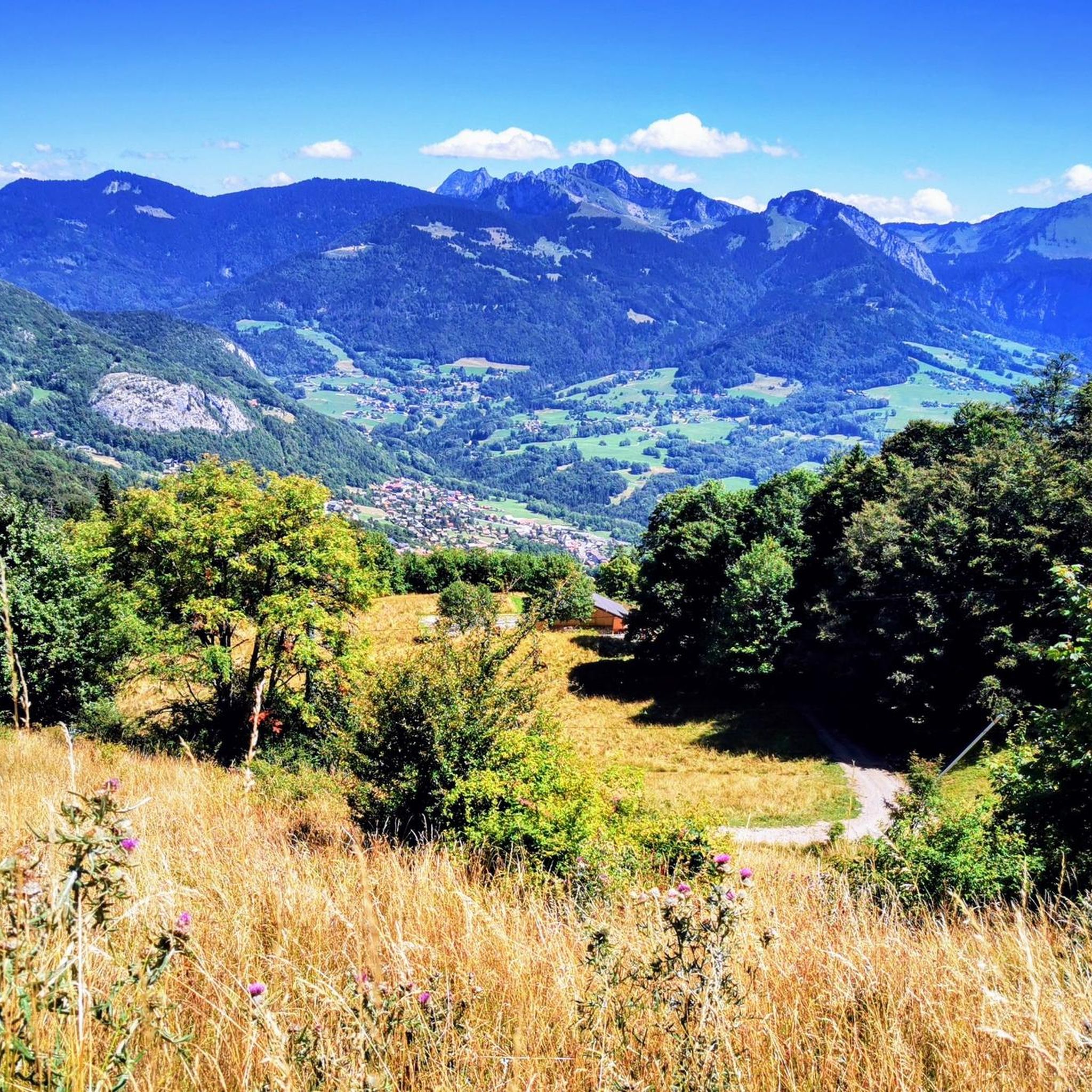
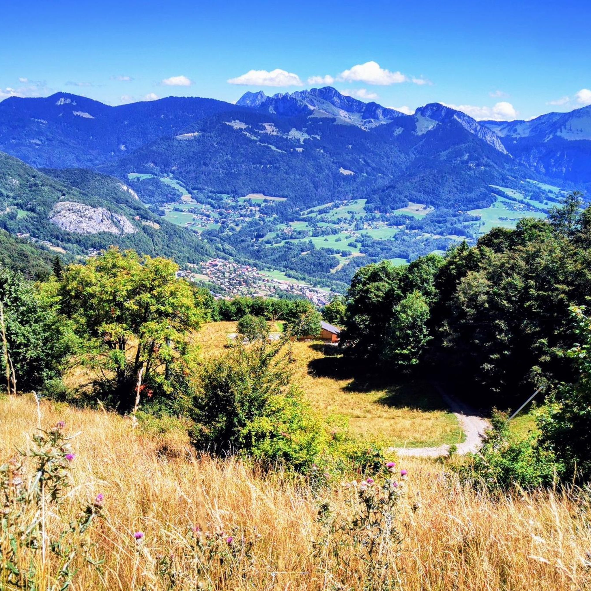
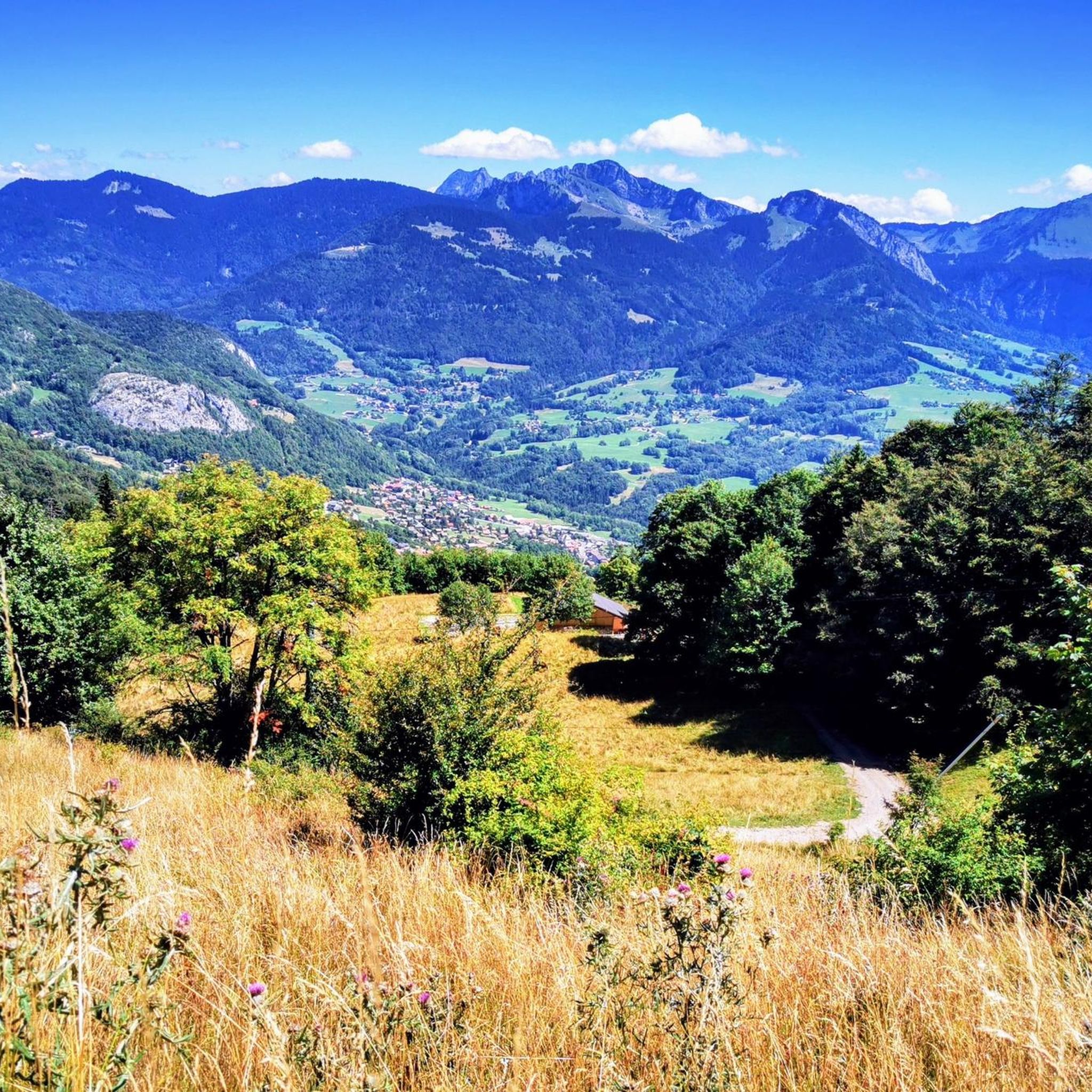
Hiking around Saint-Jeoire, nestled in the Haute-Savoie department, offers diverse terrain for outdoor enthusiasts. The region is characterized by verdant valleys, dense fir forests, and its proximity to the Chablais massif. Hikers can explore impressive mountains such as Le Môle, Pointe des Brasses, and Pointe de Miribel, which provide extensive panoramic views.
Best hiking trails around Saint-Jeoire
- The most popular hiking route is Pointe des Brasses loop from Pointe des Brasses, a 4.8 miles (7.7 km) trail that takes…
Last updated: May 16, 2026
5.0
(1)
34
hikers
4.79km
01:36
250m
250m
Easy hike. Great for any fitness level. Easily-accessible paths. Suitable for all skill levels.
4.8
(8)
42
hikers
6.13km
01:58
270m
270m
Easy hike. Great for any fitness level. Easily-accessible paths. Suitable for all skill levels.

Sign up for free
16
hikers
7.90km
02:07
90m
90m
Moderate hike. Good fitness required. Mostly accessible paths. Sure-footedness required.
5.0
(2)
20
hikers
14.8km
06:35
1,110m
1,110m
Hard hike. Very good fitness required. Sure-footedness, sturdy shoes and alpine experience required.
8
hikers
10.8km
04:38
930m
930m
Hard hike. Very good fitness required. Easily-accessible paths. Suitable for all skill levels.
Get access to more routes and recommendations from other explorers.
Sign up for free
Already have an account?
Our route recommendations are based on thousands of hikes, rides, and runs completed by other people on komoot.
Start today with a free account
Your next adventure awaits.
Login or Signup
Tips from the Community


This lowland lake lies quietly in the middle of a protected and peaceful nature. A path goes around it for walkers. The lake is also an idyllic place for fishermen as well as flora and fauna enthusiasts.
1
0

It can blow hard up there! I recommend the path that goes down to La Tour from the east
0
1

to see her
0
0

The cross means summit of the Brasse mountain
1
0

Pointe des Brasses is a summit of Haute-Savoie located in the Chablais massif, straddling the municipalities of Saint-Jeoire and Viuz-en-Sallaz, and culminating at 1,503 meters above sea level. Les Brasses is a toponym from a mountain pasture located above Viuz-en-Sallaz2. It could derive from the German Brache, which designates fallow or fallow land2,3, or from the Old German braka meaning “clearing”3. It is possible that it also derives from the Latin bracchium3 (“arm”), referring to the arms of the river, three of which have their source in Brasses: the Menoge, the Entreverges and Airets streams. In June 2013, a cross made by students from the Viuz-en-Sallaz Catholic Automobile School was erected on its summit. Six meters high, it is made up of 33 metal cubes measuring 30 centimeters on each side, assembled on site and arranged in a spiral by the students themselves. She was blessed on July 7, 2013 by Mgr Boivineau, Bishop of Annecy.
1
0

In the morning you come out of the shade of the slope and forest and then you see this sub-summit of La Môle... but you have to hike to the left.
0
0

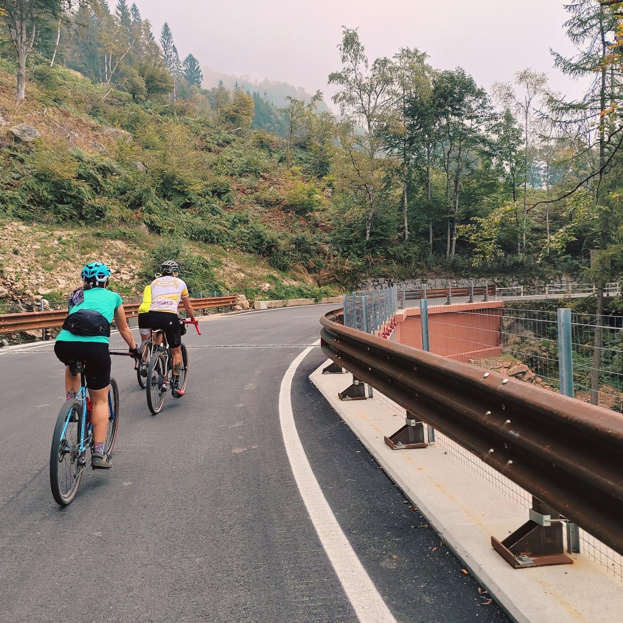
Narrow, quiet cul-de-sac above the base station of the Les Brasses ski area.
1
0
Frequently Asked Questions
How many hiking trails are available in Saint-Jeoire?
Saint-Jeoire offers a diverse network of over 10 hiking trails. These routes cater to various preferences, ranging from easy walks to more challenging ascents through the region's impressive mountains and verdant valleys.
Are there hiking trails suitable for beginners or families in Saint-Jeoire?
Yes, Saint-Jeoire provides options for all skill levels. For beginners and families, the area features easy walks, such as the Lac du Môle loop from Saint-Jeoire. This route is known for its tranquil setting and is suitable for picnics and relaxation.
Which hikes offer the best panoramic views in Saint-Jeoire?
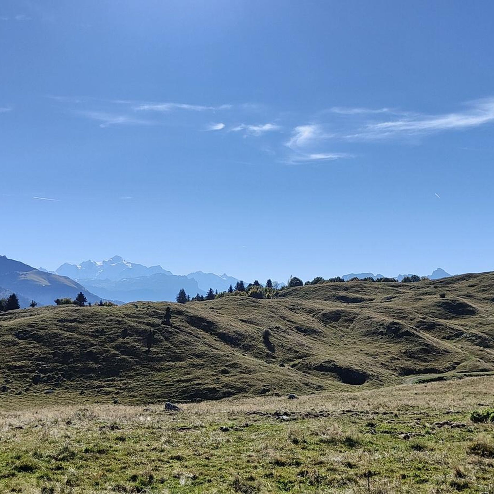
For breathtaking panoramas, consider hikes to Le Môle, Pointe des Brasses, or Pointe de Miribel. The Pointe des Brasses loop from Pointe des Brasses offers extensive views of Mont Blanc, the Aravis mountains, and the Geneva basin. Similarly, the Pointe de Miribel – Pointe de Miribel loop from Onnion provides a 360-degree panorama overlooking the Lake Geneva basin.
Are there any circular hiking routes in Saint-Jeoire?
Yes, many of the trails in Saint-Jeoire are designed as circular routes, allowing you to start and end at the same point. Examples include the Pointe des Brasses loop, the Pointe de Miribel loop, and the Blick auf Le Môle loop.
What kind of terrain can I expect on hikes around Saint-Jeoire?
The terrain around Saint-Jeoire is highly varied. You can expect everything from shaded paths through dense fir forests, such as those found in the Môle forest, to more open mountain pastures and challenging ascents to peaks like Le Môle, Pointe des Brasses, and Pointe de Miribel. Paths are generally well-maintained, but higher elevations require good fitness.
What natural features or landmarks can I explore while hiking in Saint-Jeoire?
Hikers can discover a range of natural features and landmarks. Notable peaks include Le Môle, Pointe des Brasses, and Pointe de Miribel. You can also visit tranquil spots like Lac de Vallon, visible from Saint Bruno Chapel, or the peaceful Lac du Môle. Other natural highlights in the wider area include La Gouille aux Morts and Lac Bénit.
What is the best time of year to go hiking in Saint-Jeoire?
The best time to hike in Saint-Jeoire is generally from spring through autumn when the weather is mild, and trails are clear of snow. Summer offers lush green landscapes, while autumn brings vibrant colors. Some higher elevation routes may have snow well into spring, so checking local conditions is advisable for specific trails.
Are there any challenging hikes for experienced hikers in Saint-Jeoire?
Yes, experienced hikers will find challenging routes in Saint-Jeoire. The Blick auf Le Môle loop from Saint-Jeoire is a difficult 9.2-mile (14.8 km) trail with significant elevation gain, leading through varied mountain terrain and offering rewarding views from Le Môle.
What do other hikers say about the trails in Saint-Jeoire?
The hiking trails in Saint-Jeoire are highly regarded by the komoot community, with an average rating of 4.6 stars from over 1100 reviews. Hikers often praise the diverse landscapes, from dense forests to panoramic mountain views, and the variety of routes available for different fitness levels.
Is there parking available at the trailheads in Saint-Jeoire?
While specific parking details vary by trailhead, many popular starting points for hikes in Saint-Jeoire, especially those leading to well-known peaks or passes like Pointe des Brasses or Col de Cou, typically have designated parking areas. It's always recommended to check specific route information for precise parking locations.
Can I reach hiking trails in Saint-Jeoire using public transport?
Saint-Jeoire is a regional hub, and while public transport options exist within the Haute-Savoie department, direct access to all trailheads might be limited. Some routes may be accessible via local bus services to villages near starting points, but for more remote trails, a car is often more convenient.
Are there any cultural or historical sites to see while hiking?
Beyond natural beauty, you can encounter cultural elements like the Saint Bruno Chapel, which offers a serene atmosphere and panoramic views, particularly of Lac de Vallon. This adds a historical dimension to your hiking experience in the region.
Most popular routes around Saint-Jeoire
Most popular attractions around Saint-Jeoire

Get inspired with the komoot mobile app


Explore more
Browse the best Hikes in other regions.
