The best MTB trails around Saint-Jeoire
4.3
(767)
4,340
riders
213
rides
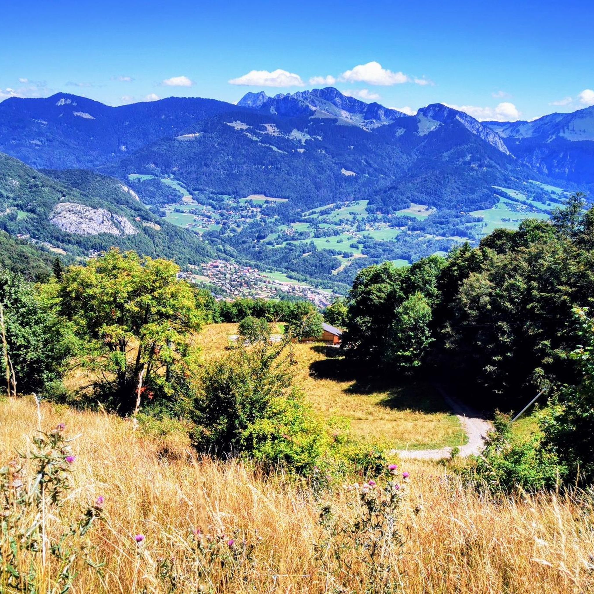
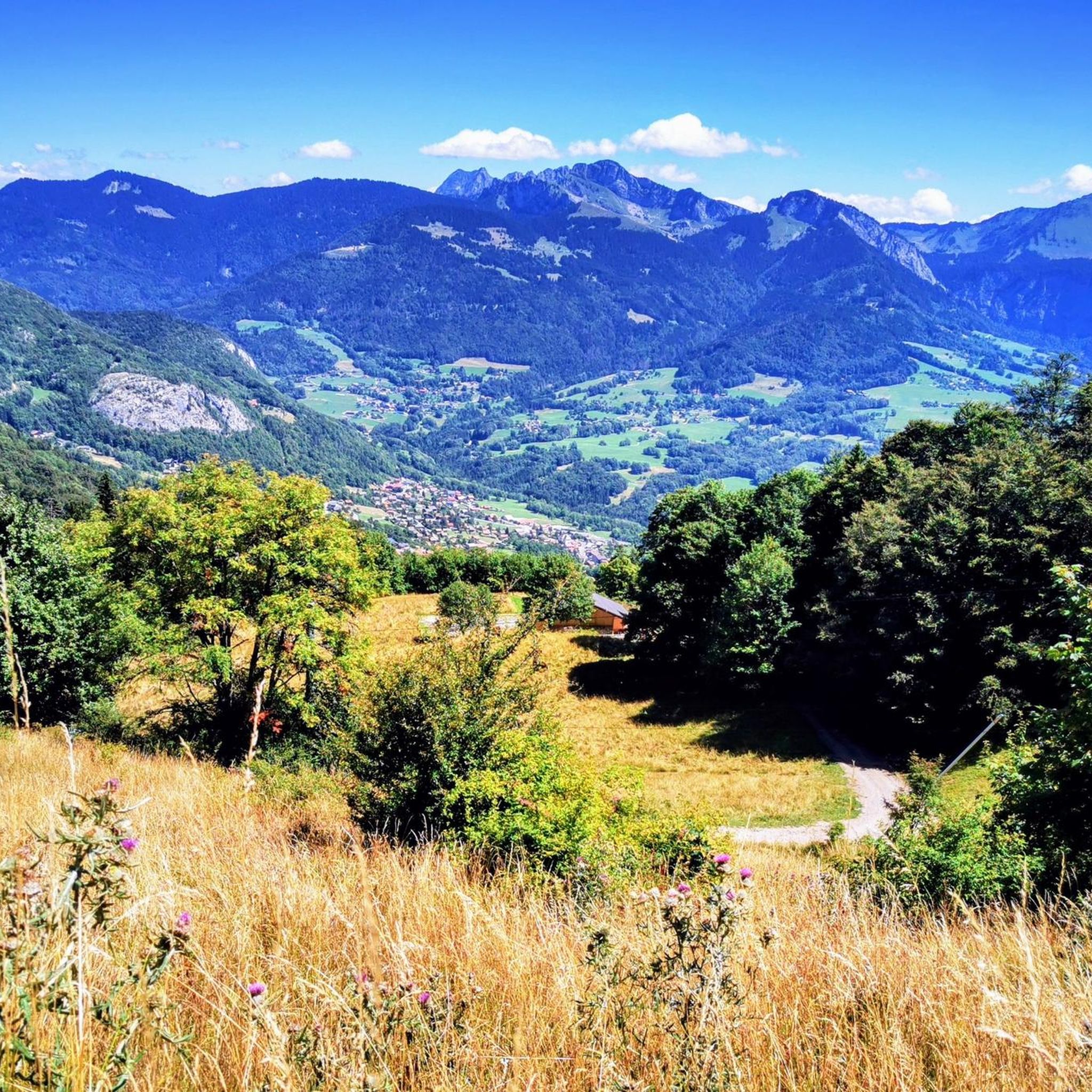
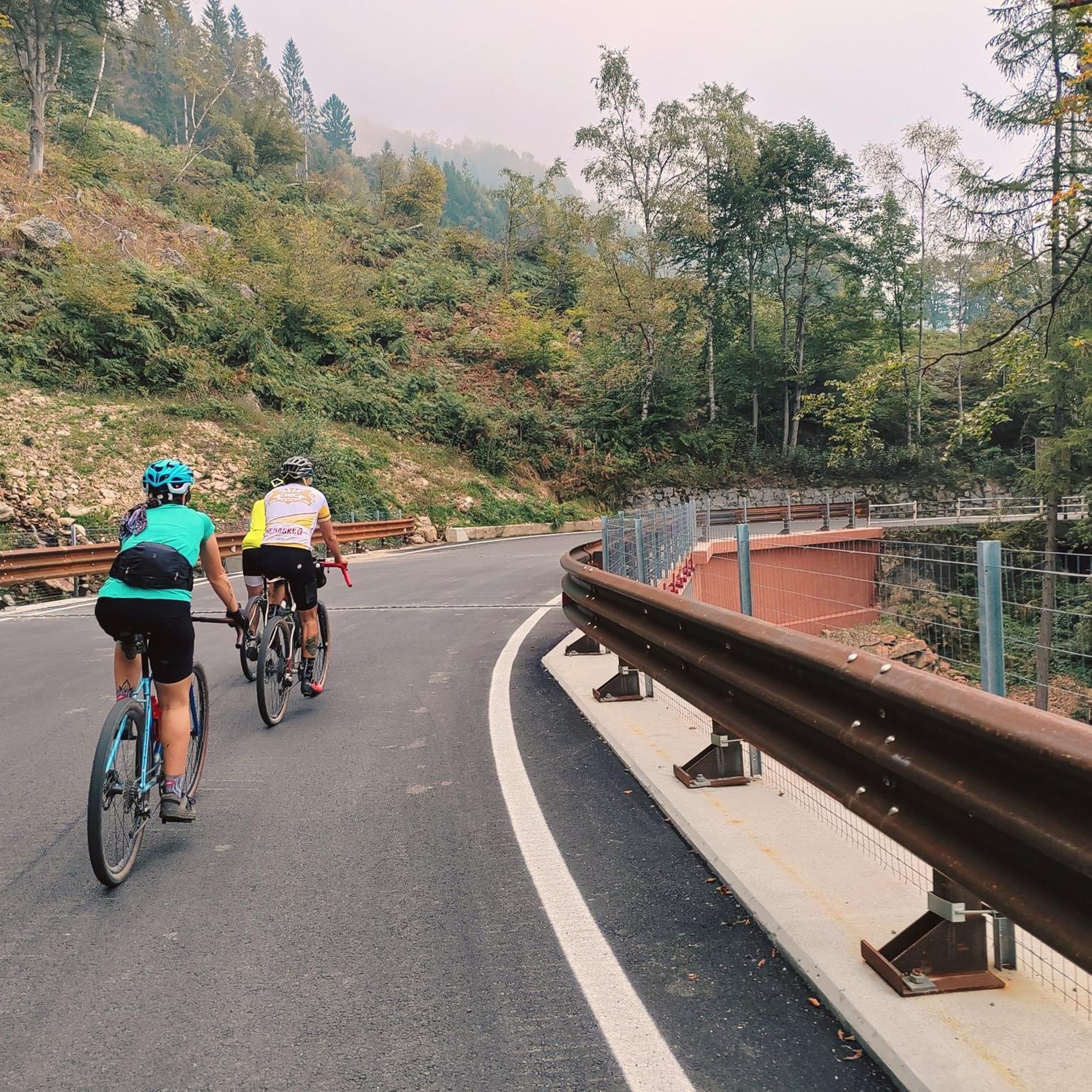
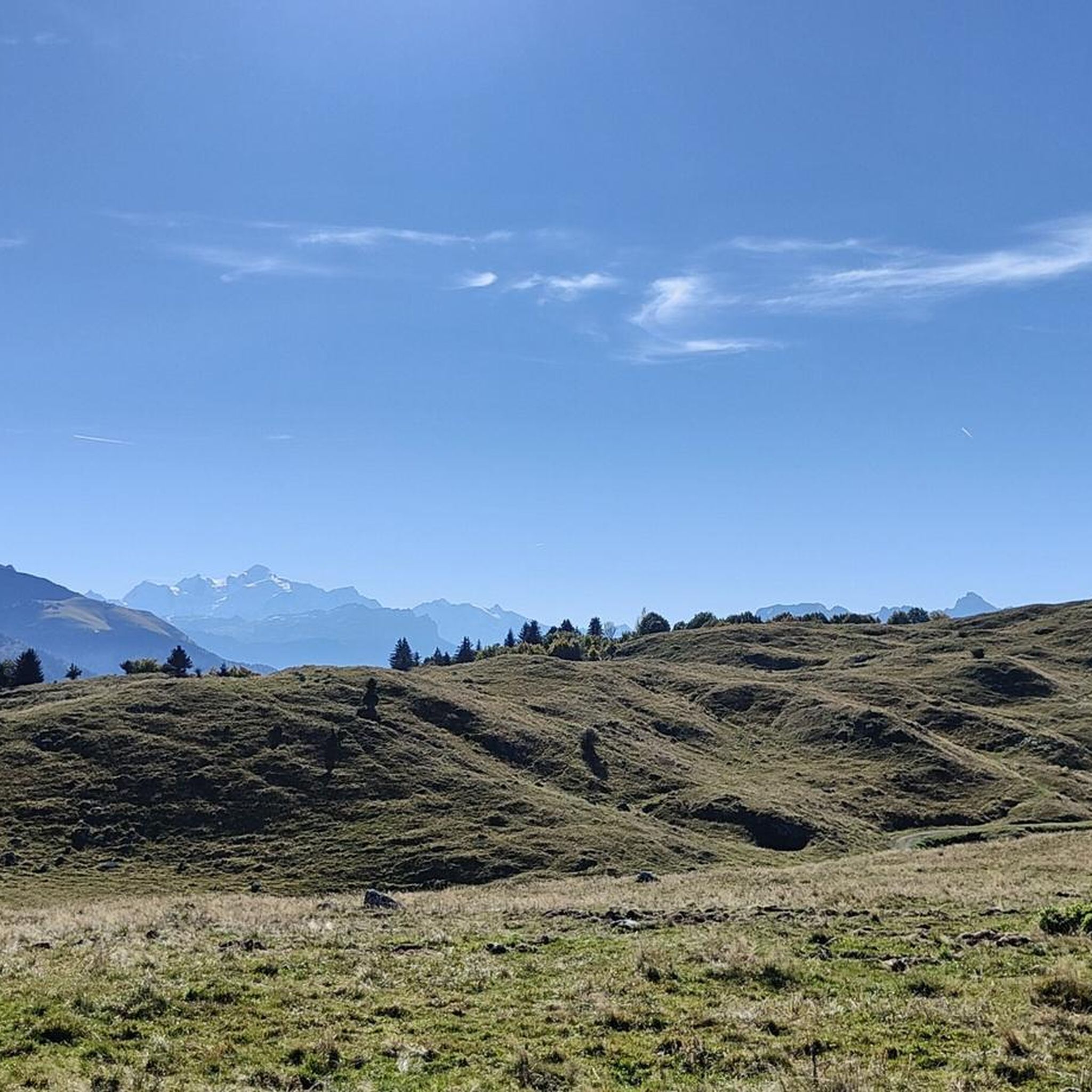
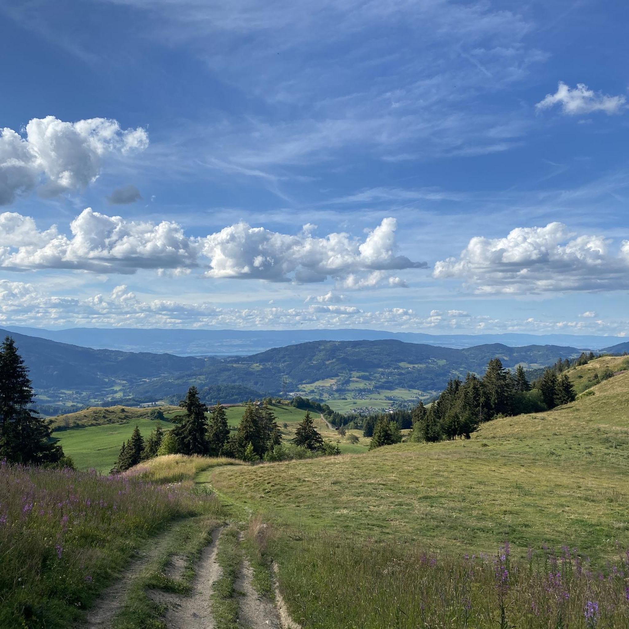
Mountain biking around Saint-Jeoire offers diverse landscapes with challenging terrain. The region features verdant valleys, dense fir forests, and notable mountain passes like Col de Cou and Jambaz Pass. Its location near the Chablais massif provides varied elevation and views of the Mont-Blanc range, catering to different skill levels. The Plaine-Joux Plateau also offers marked circuits for mountain biking.
Best mountain bike trails around Saint-Jeoire
- The most popular mountain bike trail is Gorges du Pont du Diable – Pont du…
Last updated: October 1, 2026
4.6
(7)
34
riders
49.1km
04:12
1,050m
1,050m
Hard mountain bike ride. Very good fitness required. Advanced riding skills necessary.
3.8
(5)
28
riders
Moderate mountain bike ride. Good fitness required. Suitable for all skill levels.

4.0
(3)
12
riders
18.6km
02:21
920m
920m
Hard mountain bike ride. Very good fitness required. Advanced riding skills necessary.
17
riders
16.7km
01:46
590m
590m
Hard mountain bike ride. Good fitness required. Advanced riding skills necessary. Some portions of the route may require you to push your bike.
4.7
(3)
12
riders
25.3km
02:13
760m
760m
Moderate mountain bike ride. Good fitness required. Suitable for all skill levels.
Get access to more routes and recommendations from other explorers.
Already have an account?
Our route recommendations are based on thousands of hikes, rides, and runs completed by other people on komoot.
Start today with a free account
Your next adventure awaits.
Tips from the Community

The Church of Saint Andrew in Saint-André-de-Boëge is a French Catholic church located in the Haute-Savoie department, in the commune of Saint-André-de-Boëge. An earlier church is documented dating back to around the 12th century. The church was built between 1855 and 1858[1]. It was constructed in a Sardinian Neoclassical style. In 1987, the building was completely renovated and the paintings were redone.
0
0
Intersection point of the Vouan Forest Road, Altitude 664m
1
0
Intersection Point: La Gouille aux Morts (Pond of the Dead) Altitude 650m Gouille aux Morts: What an ugly name for this charming little pond. Beavers, mallards, herons, and especially frogs take shelter in its tall grass and breed there. The place is calm and peaceful, far from the road to the Vallée Verte (Green Valley), although you can still hear the sounds of traffic. Above it, the Molière à Vachat stream is mirrored in its waters. Its reflection blends with the water lilies scattered there, creating perfect harmony. A delight for the eye of the walker. It's impossible not to think of Monet's "Water Lilies." It is said that, long ago, two stonemasons working at the "Molière," located about fifty meters above, fell to their deaths there on a Sunday (yes, a Sunday...the Lord's Day). See: H. Savoie: Les Molières du Mont Vouan. Or perhaps the pond got its name because a peasant was swallowed up there with his cart...
1
0
Born on September 6, 1799, in Sévillon, a hamlet of Onnion, son of Marin Jacquard de Sévillon and Marie Monge de Mégevette, he studied at the minor seminary of Mélan, located in the former Mélan charterhouse in Taninges, then at the major seminary of Chambéry. He completed his theological studies at the Seminary of Foreign Missions in Paris, where he was ordained a priest on March 15, 1823. His journey to Cochinchina (Vietnam) lasted two and a half years, arriving in Cochinchina, where he landed clandestinely on January 5, 1826. He took the name Kinh Gan Lam and participated in the life of the Church in this region of the world, where, along with two other missionaries and thirty priests from Cochinchina, he accompanied 70,000 Christians on their journey. King Minh Mang persecuted Christians. He wanted to deprive the Church of its leaders by keeping them under surveillance. Thus, as early as 1829, he detained François near Hué, his capital, asking him to act as his interpreter and explain recent European history; François was thus able to continue his missionary work to a minimum. In 1833, after the king's decree of general persecution, he was held prisoner in the Ai Lao penal colony for nearly two years, then in prison near the capital, where he was nevertheless asked to teach French to nine young men. He stated: "I have not stopped and will not stop preaching when I can." In 1838, he was sentenced to death, chained and given the "cangue" (a type of ladder around the head). On September 21, 1838, he was tortured and strangled, along with an 18-year-old Christian, Thomas Thien. In 1840, two years after his death, Pope Gregory XVI opened the beatification process and declared him Venerable. The Seville Oratory, near the chapel, commemorates this event. In 1900, Pope Leo XIII declared him Blessed. On June 19, 1988, Pope John Paul II canonized him along with 116 other martyrs of Vietnam. Annual pilgrimage to Seville in June and liturgical feast on September 23.
1
0
Intersection point Le Marquisat Altitude 875m
1
0


Frequently Asked Questions
How many mountain bike trails are available in Saint-Jeoire?
There are over 10 mountain bike trails around Saint-Jeoire documented on komoot, catering to various skill levels from moderate to difficult.
What kind of terrain can I expect on mountain bike trails in Saint-Jeoire?
Mountain biking in Saint-Jeoire offers diverse terrain, including verdant valleys, dense fir forests, and challenging mountain passes such as the Col de Cou and Jambaz Pass. You'll encounter routes with significant elevation changes and varied surfaces.
Are there any easy mountain bike trails suitable for beginners or families in Saint-Jeoire?
While many trails in Saint-Jeoire are rated moderate to difficult, the region offers options for leisurely rides. The Plaine-Joux Plateau, for instance, features marked circuits that include gentler sections, providing a good starting point for less experienced riders or families. Always check the route details for specific difficulty ratings.
What are some scenic viewpoints or natural attractions accessible by mountain bike in Saint-Jeoire?
The Saint-Jeoire area is rich in natural beauty. You can enjoy panoramic views of the Mont-Blanc mountain range and the Geneva basin from the Plaine-Joux Plateau. Other notable natural attractions include the stunning Gorges du Pont du Diable, the serene La Gouille aux Morts, and the picturesque Lac Bénit. The summit of Le Môle also offers sweeping mountain vistas.
Are there any circular mountain bike routes in Saint-Jeoire?
Yes, many of the mountain bike trails in Saint-Jeoire are designed as loops. For example, the Gorges du Pont du Diable – Pont du Diable Cave loop from Saint-Jeoire is a popular moderate circular route. Another option is the more challenging Pont du Diable Cave – Gorges du Pont du Diable loop from Place du 1er Avril 1944.
What is the typical duration and distance for mountain bike trails in this region?
Trail durations and distances vary significantly. Moderate routes like the Gorges du Pont du Diable – Pont du Diable Cave loop from Saint-Jeoire can be around 23 miles (37 km) and take nearly 3 hours. More difficult trails, such as the Pointe des Brasses – La Joux Alpine Pasture loop from Saint-Jeoire, cover about 11 miles (18 km) but involve significant elevation gain, taking over 2 hours.
What do other mountain bikers say about the trails in Saint-Jeoire?
The mountain bike trails in Saint-Jeoire are highly rated by the komoot community, with an average score of 4.3 stars from over 500 reviews. Riders often praise the diverse landscapes, the challenge of the mountain passes, and the stunning views of the Mont-Blanc range.
What is the best season for mountain biking in Saint-Jeoire?
The best season for mountain biking in Saint-Jeoire is generally from spring through autumn. During these months, the weather is more favorable, and the trails are typically clear of snow, allowing for full access to the verdant valleys and mountain passes. Always check local weather conditions before heading out.
Are there any historical sites or cultural landmarks near the mountain bike routes?
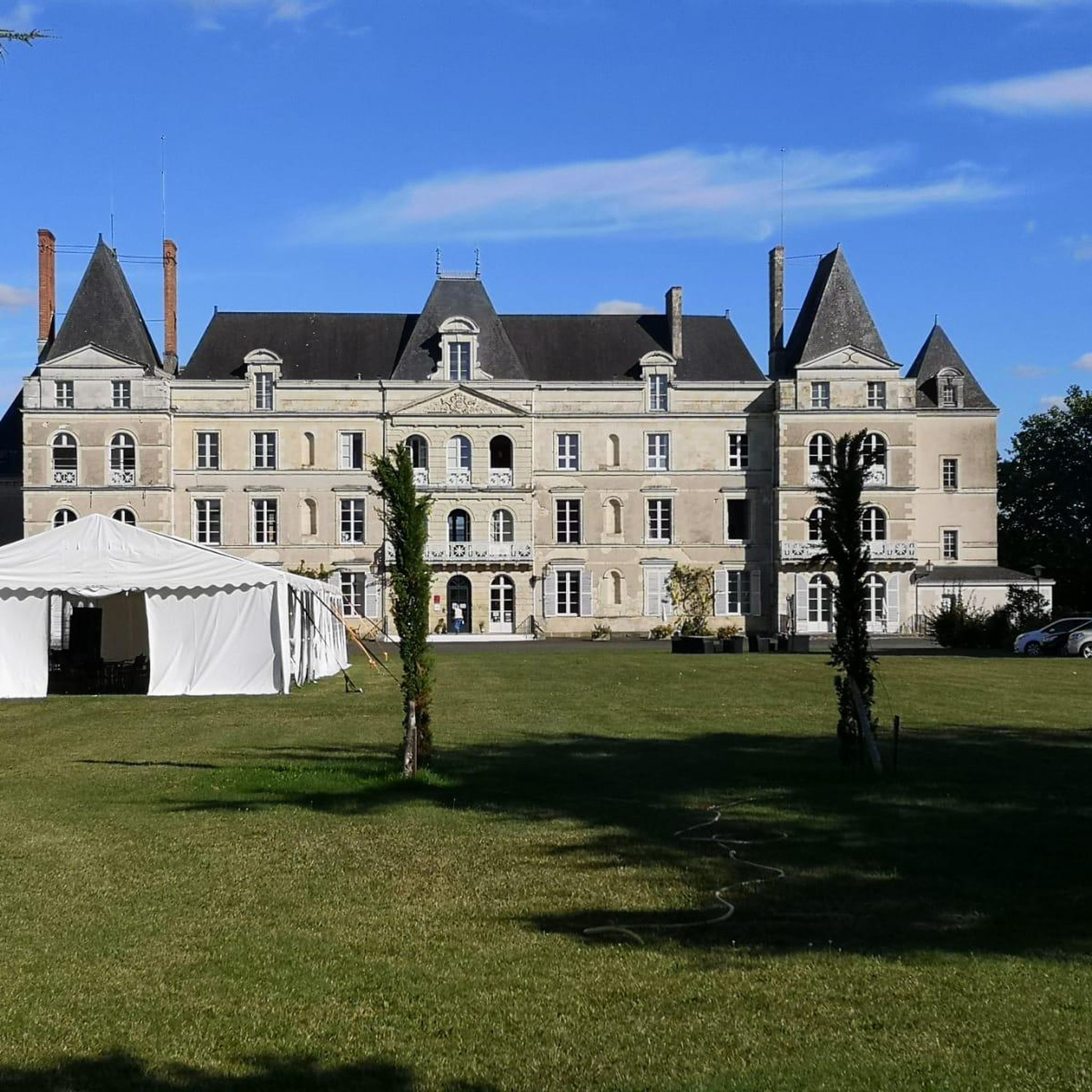
Yes, the region around Saint-Jeoire also features historical sites. You can find the 13th-century Château de Beauregard and the ruins of the feudal castle of Turchon, adding a cultural dimension to your outdoor exploration.
Are there any advanced or challenging mountain bike routes in Saint-Jeoire?
Absolutely. Saint-Jeoire is known for its challenging terrain and significant elevation changes, making it ideal for advanced riders. Trails like the Pont du Diable Cave – Gorges du Pont du Diable loop from École Giffre, which is 18 miles (29 km) with substantial climbing, are rated as difficult and offer a demanding experience.
What are the elevation gains typically found on mountain bike trails in Saint-Jeoire?
Mountain bike trails in Saint-Jeoire often feature significant elevation gains due to the region's mountainous landscape. For example, the Pont du Diable Cave – Gorges du Pont du Diable loop from Place du 1er Avril 1944 includes over 1150 meters (3770 feet) of ascent, providing a challenging workout and rewarding views.
Most popular routes around Saint-Jeoire
Most popular attractions around Saint-Jeoire

Get inspired with the komoot mobile app


Explore more
Browse the best MTB trails in other regions.
