The best gravel rides around Niedermorschweiler
4.5
(40)
301
riders
72
rides
Gravel biking around Niedermorschweiler offers diverse terrain within the Alsace region of France. The area is characterized by extensive vineyards, including the Grand Cru Sommerberg, and extends into the foothills of the Vosges mountains. Cyclists will find a mix of forests, hills, dirt tracks, and meadow paths, with varied topography ranging from gentle climbs to challenging ascents. The region provides routes with views of the Alsatian plain and the Black Forest.
Best gravel bike trails around Niedermorschweiler
- The most popular…
Last updated: November 2, 2026
10.9km
00:47
40m
40m
Easy gravel ride. Mostly paved surfaces.
4.5
(6)
22
riders
70.9km
04:18
580m
580m
Hard gravel ride. Very good fitness required. Mostly paved surfaces.

4.7
(6)
15
riders
Moderate gravel ride. Good fitness required. Mostly paved surfaces.
4.3
(3)
7
riders
31.0km
02:06
430m
430m
Moderate gravel ride. Good fitness required. Mostly paved surfaces.
12
riders
32.4km
02:21
120m
120m
Moderate gravel ride. Good fitness required. Mostly paved surfaces.
Get access to more routes and recommendations from other explorers.
Already have an account?
Our route recommendations are based on thousands of hikes, rides, and runs completed by other people on komoot.
Start today with a free account
Your next adventure awaits.
Tips from the Community

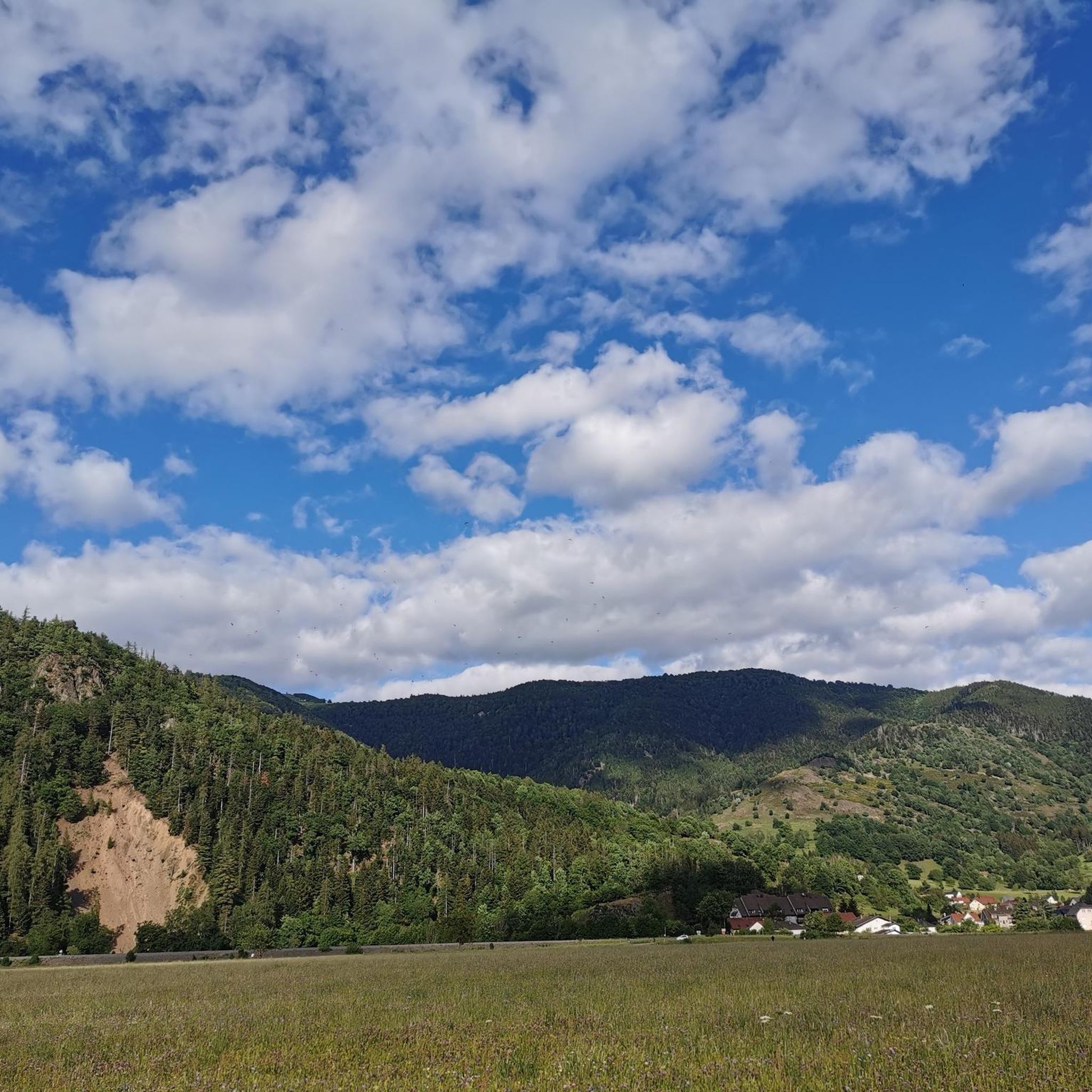
Magnificent multi-stemmed, centuries-old lime tree
0
0

Ammertzwiller – destroyed front village and mine warfare Ammertzwiller was one of the particularly contested locations on the Sundgau front during World War I. From September 1914, the front line ran immediately west of the village. German troops held Ammertzwiller, while French positions were located near Gildwiller-le-Mont, among other places. On January 1, 1915, the entire population was evacuated. Shortly thereafter, the abandoned village itself became a combat zone. The church was destroyed on January 8, 1915. By the end of the war, Ammertzwiller was almost completely devastated. The place became particularly known for mine warfare. From May 1915, French sappers and German pioneers dug tunnels under the enemy positions and detonated them. The underground warfare lasted until early 1916 and left numerous explosion craters. A striking event was the German mine detonation on July 11, 1915. The explosion under the German outpost Sautter created a massive crater. The mine crater, now filled with water, is preserved as the "Entonnoir" and serves as a reminder of this form of warfare. German troops also built an extensive system of bunkers, shelters, and underground facilities. Today, the approximately 10.5 km long "Circuit de la mémoire d’Ammertzwiller" leads through this former front landscape. Around 15 information boards explain the local history. After the war, the residents returned to a largely destroyed village. Reconstruction left a lasting mark on Ammertzwiller. Today's Saint-Étienne church, with its depictions, preserves the memory of evacuation, war, and return. Particularly worth seeing: the water-filled mine crater and the Circuit de la mémoire d’Ammertzwiller.
0
0
Anyone who wants to know more about this should visit this page: https://sundgaufront.pharmafix.com/index.php/interaktive-frontkarte
1
0

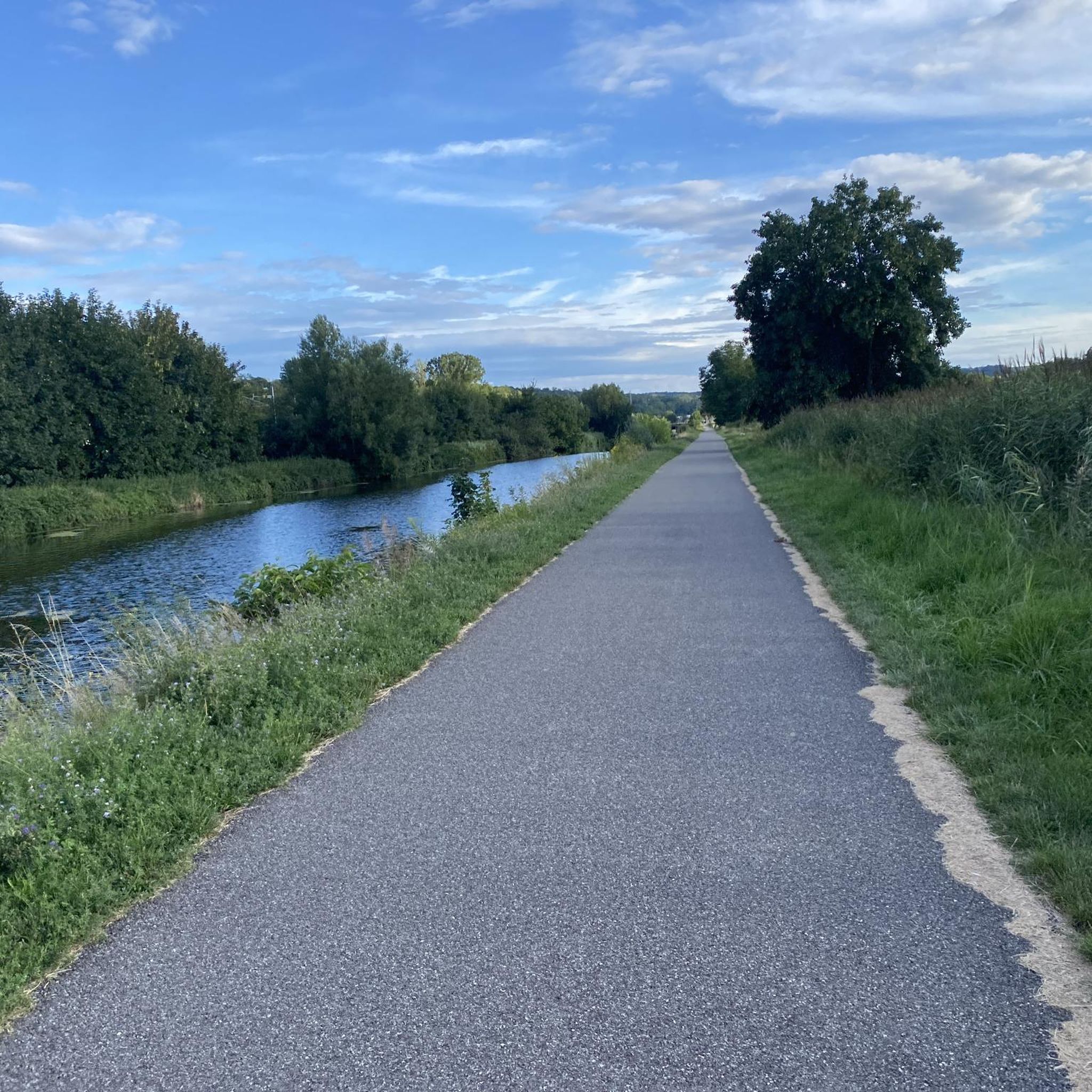
Cyclists completely sheltered from cars. Bleak landscape.
0
0

sights again and again towards Cernay
0
0

The oldest surviving mention of Lutterbach dates back to 735. It already had a church at that time. The village was dependent on the Murbach Abbey. From the beginning of the 14th century until the French Revolution, Lutterbach belonged to the Cistercian monastery of Lützel.
0
0

The World War I Bunker Trail in Burnhaupt-le-Bas On the Bunker Trail, you can discover World War I fortifications built by the German army. After the fighting in the summer and autumn of 1914, the front in Upper Alsace stabilized on the Cernay-Dannemarie line. The municipal district of Burnhaupt-le-Bas remained on the German side. In December 1914 and January 1915, French offensives in this sector regularly clashed with the German lines. Numerous bunkers, command posts, and artillery posts. The tour can be done by mountain bike or on foot (hiking boots).
0
0

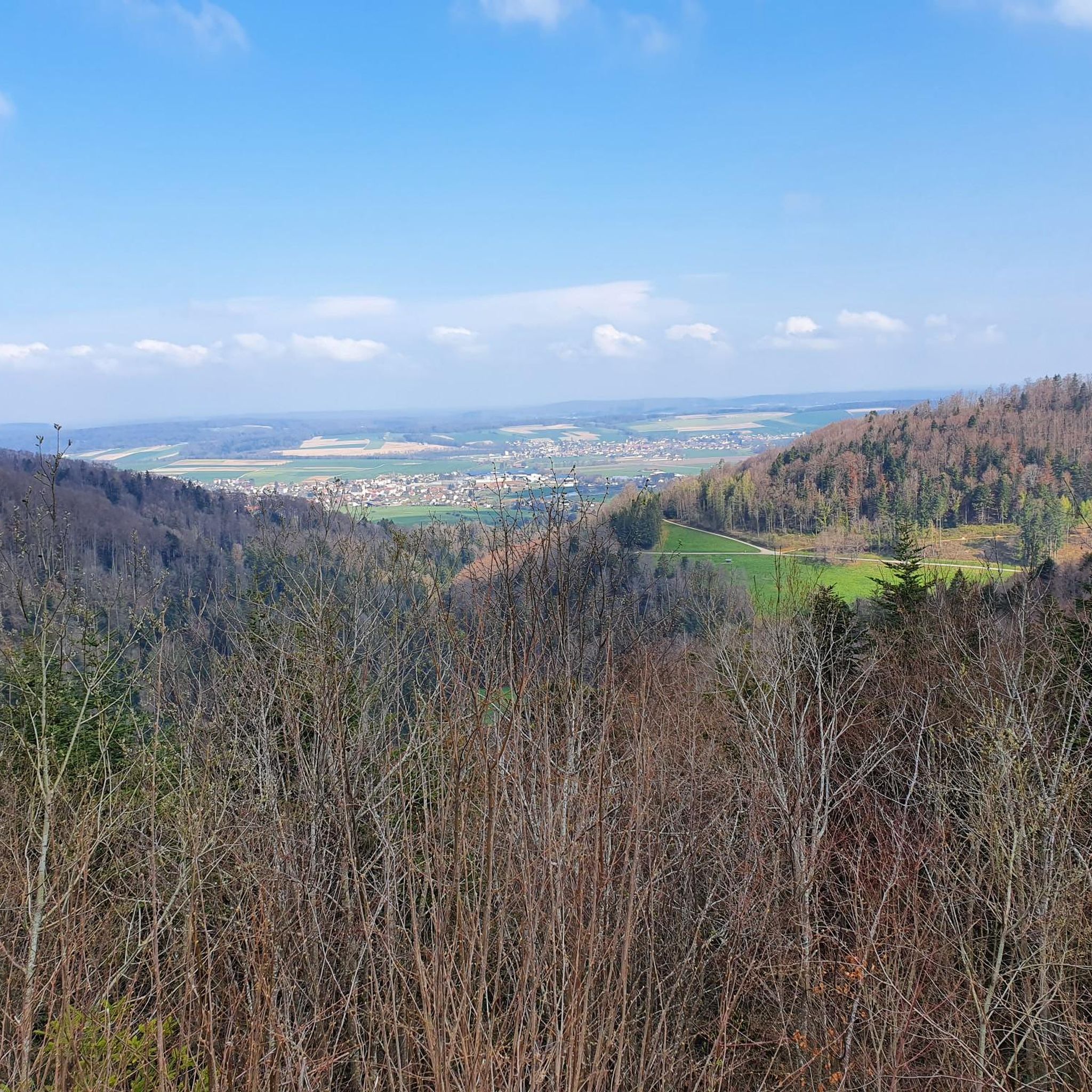
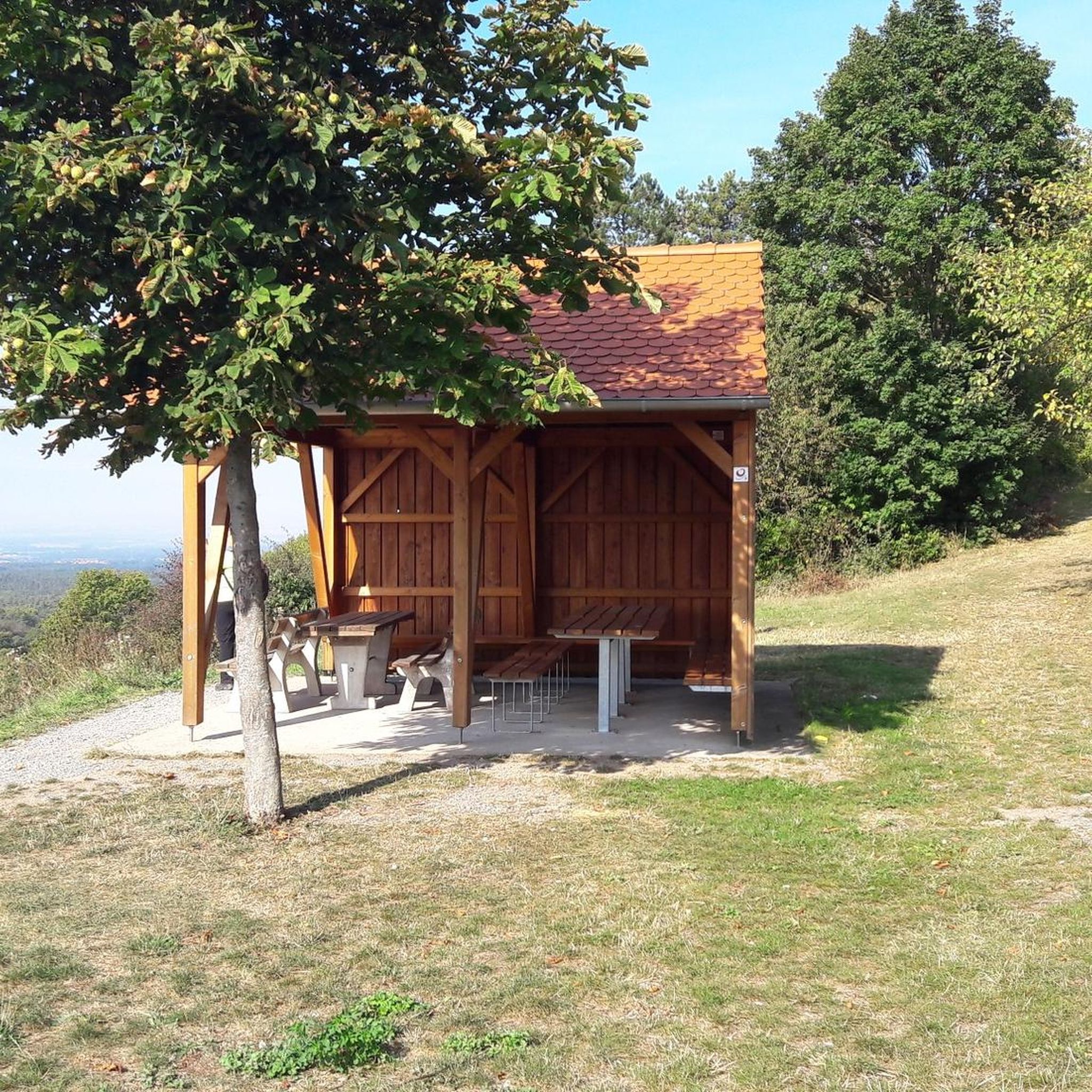
The castle fits nicely into the panorama. But I didn't go there.
0
0
Frequently Asked Questions
How many gravel bike trails are available around Niedermorschwihr?
There are over 90 gravel bike routes available around Niedermorschwihr, offering a wide variety of options for different skill levels and preferences. The komoot community has explored these trails over 280 times.
What kind of terrain can I expect on gravel bike trails near Niedermorschwihr?
The terrain around Niedermorschwihr is quite diverse, ranging from picturesque gravel paths winding through extensive vineyards, including the steep Grand Cru Sommerberg, to dirt tracks, meadow paths, and forest trails in the foothills of the Vosges mountains. You'll encounter a mix of gentle climbs and more challenging ascents, often with bumpy asphalt passages.
What are the difficulty levels of gravel bike routes in this area?
The routes around Niedermorschwihr cater to various abilities. You'll find 10 easy routes, 54 moderate paths, and 32 more challenging, difficult ascents. This variety ensures there's something for every gravel biker, from beginners to experienced riders.
What do other gravel bikers say about the trails in Niedermorschwihr?
The gravel biking routes in Niedermorschwihr are highly rated by the komoot community, with an average score of 4.5 stars from over 30 reviews. Cyclists often praise the varied terrain, stunning views of the Alsatian plain, and the unique experience of riding through vineyards and forests.
Are there any scenic viewpoints or natural features to look out for on the trails?
Absolutely! Many routes offer breathtaking views of the Alsatian plain, the Black Forest in Germany, and the surrounding valleys. Keep an eye out for vantage points like the Galtz promontory near Les Trois-Épis. The extensive vineyards, especially around Grand Cru Sommerberg, and the forested Vosges foothills are natural highlights themselves.
Can I combine gravel biking with cultural experiences like wine tasting?
Yes, Niedermorschwihr is nestled along the Alsace Wine Route, making it perfect for combining your rides with cultural stops. Many routes pass through charming villages with half-timbered houses, offering opportunities to visit local wineries for wine tasting and to experience the region's culinary delights.
Are there any circular gravel bike routes available?
Yes, many of the gravel routes around Niedermorschwihr are designed as loops. For example, the difficult route Ascent to Col Amic – Col Amic Pass loop from Graffenwald offers a challenging 32.5-mile (52.4 km) circular journey with significant elevation gain.
What interesting landmarks or attractions can I see near the gravel bike trails?
While exploring the gravel trails, you can discover several interesting landmarks. Consider visiting the Zillisheim Drawbridge and Lock No. 35 or the Eglingen Lock. For history enthusiasts, the Mulhouse Historical Museum and the Grand Cannon of Zillisheim are also nearby.
Is it possible to rent gravel bikes in the area?
Yes, if you don't have your own gravel bike, an agency called Alsace Gravel Bike is located near Colmar, which is a short distance from Niedermorschwihr. They offer high-performance gravel bikes for rent and can assist with personalized itinerary planning.
Are there opportunities for bike-packing in the region?
The diverse mix of terrain, from idyllic valleys to challenging low mountain ranges, makes the area around Niedermorschwihr suitable for bike-packing tours. You can explore scenic areas like the Rhine-Westerwald Nature Park, which offers a great backdrop for multi-day adventures.
Are there any routes that follow rivers or canals?
Yes, you can find routes that incorporate riverine landscapes. A popular option is the moderate Water crossing – Singletrack Along the Water loop from Lutterbach, which offers a 19.1-mile (30.7 km) ride along the water. Additionally, the Thur River Cycle Path is a notable highlight in the area.
What is the best time of year for gravel biking in Niedermorschwihr?
The Alsace region generally offers pleasant conditions for gravel biking from spring through autumn. Spring brings blooming vineyards, while autumn provides stunning fall foliage. Summer is also popular, but it's advisable to start earlier in the day to avoid the midday heat. Always check local weather forecasts before heading out.
Most popular routes around Niedermorschweiler
Most popular attractions around Niedermorschweiler

Get inspired with the komoot mobile app


Explore more
Browse the best Gravel rides in other regions.
