The best road cycling routes around Niedermorschweiler
4.4
(492)
12,260
riders
354
rides
Road cycling around Niedermorschweiler offers a diverse landscape for cyclists, characterized by a mix of riverside paths, rolling hills, and challenging ascents. The region features varied topography, from gentle, flat sections ideal for leisurely rides to significant climbs towards higher elevations. Cyclists can explore areas with impressive vineyards, natural parks, and numerous passes. This area provides a range of road cycling experiences across its varied terrain.
Best road cycling routes around Niedermorschweiler
- The most popular road cycling route is Ballon…
Last updated: July 3, 2026
5.0
(1)
121
riders
110km
05:12
1,280m
1,280m
Hard road ride. Very good fitness required. Some segments of this route may be unpaved and difficult to ride.
4.7
(3)
92
riders
59.8km
02:37
510m
510m
Moderate road ride. Good fitness required. Mostly well-paved surfaces and easy to ride.

Sign up for free
99
riders
79.9km
03:44
940m
940m
Hard road ride. Very good fitness required. Mostly well-paved surfaces and easy to ride.
5.0
(2)
78
riders
44.1km
01:44
130m
130m
Easy road ride. Great for any fitness level. Mostly well-paved surfaces and easy to ride.
4.4
(8)
68
riders
43.3km
01:44
100m
100m
Easy road ride. Great for any fitness level. Mostly well-paved surfaces and easy to ride.
Get access to more routes and recommendations from other explorers.
Sign up for free
Already have an account?
Our route recommendations are based on thousands of hikes, rides, and runs completed by other people on komoot.
Start today with a free account
Your next adventure awaits.
Login or Signup
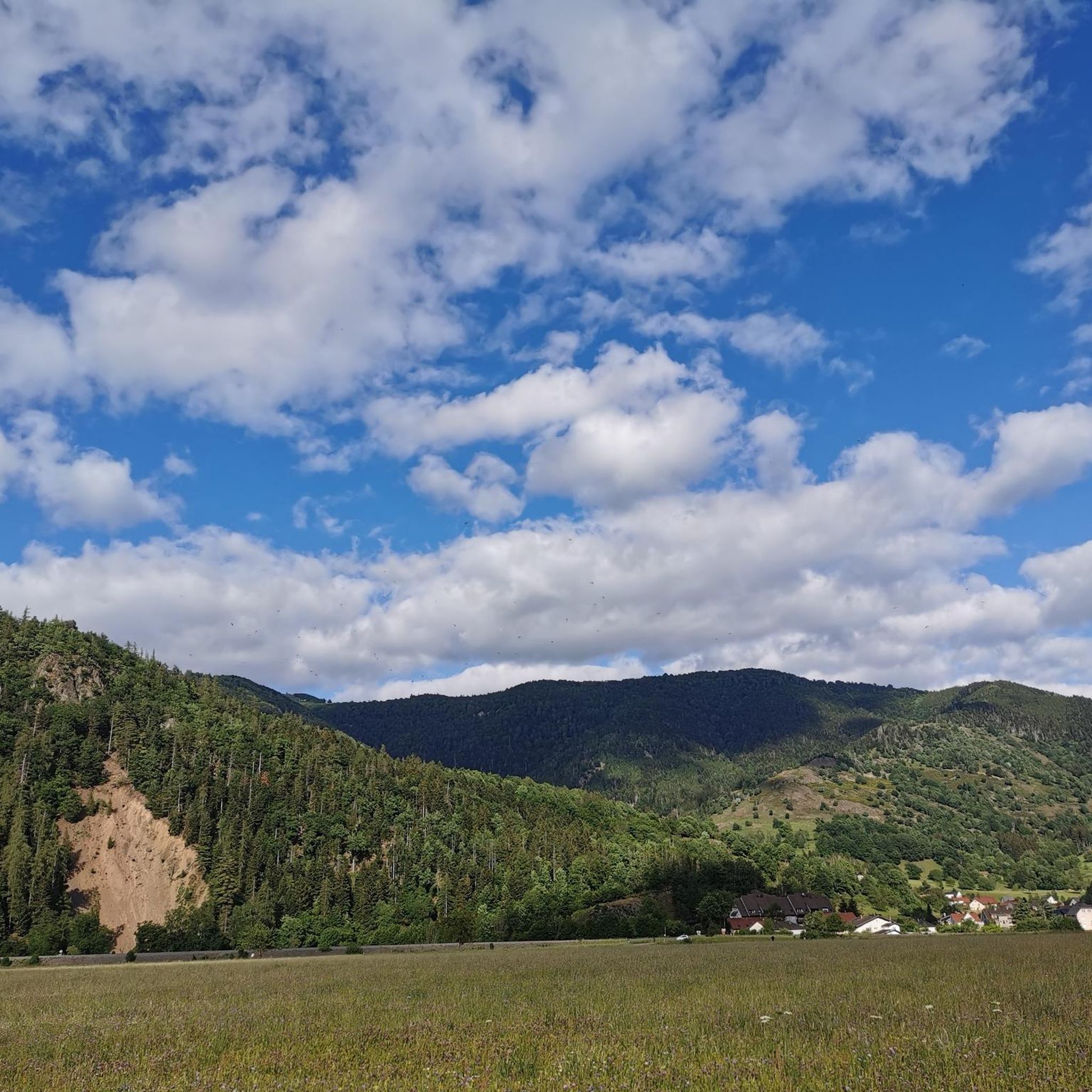
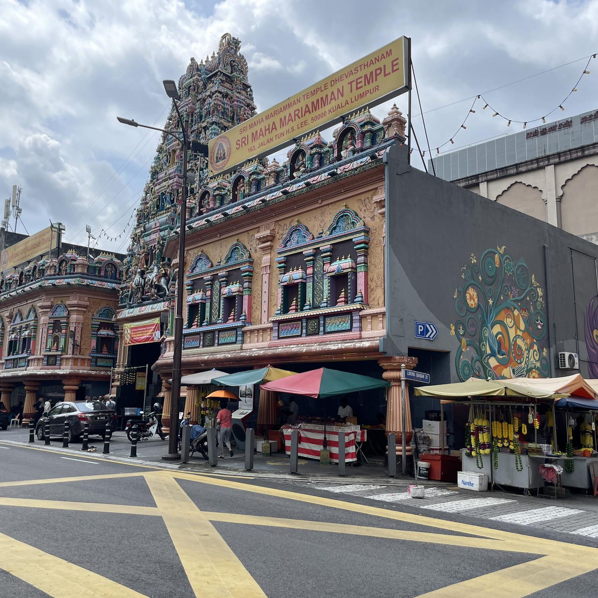
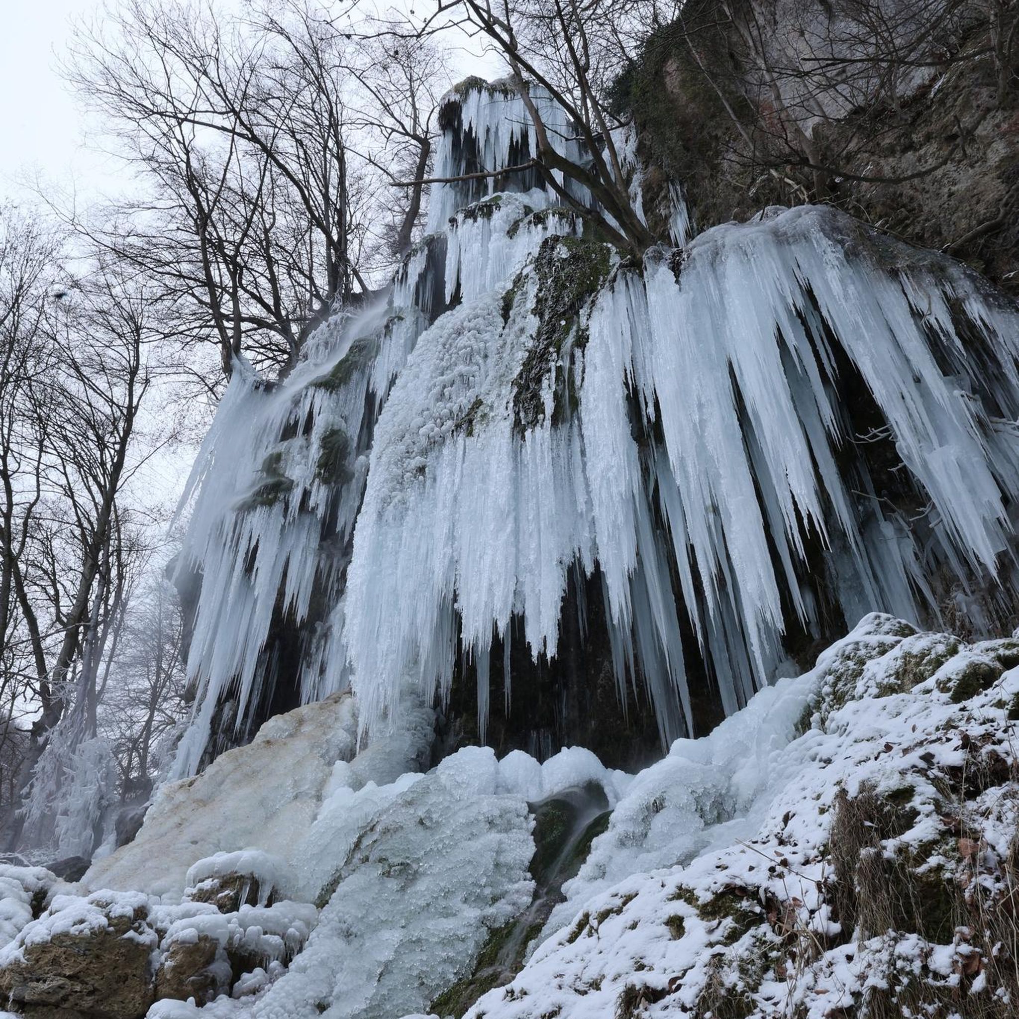
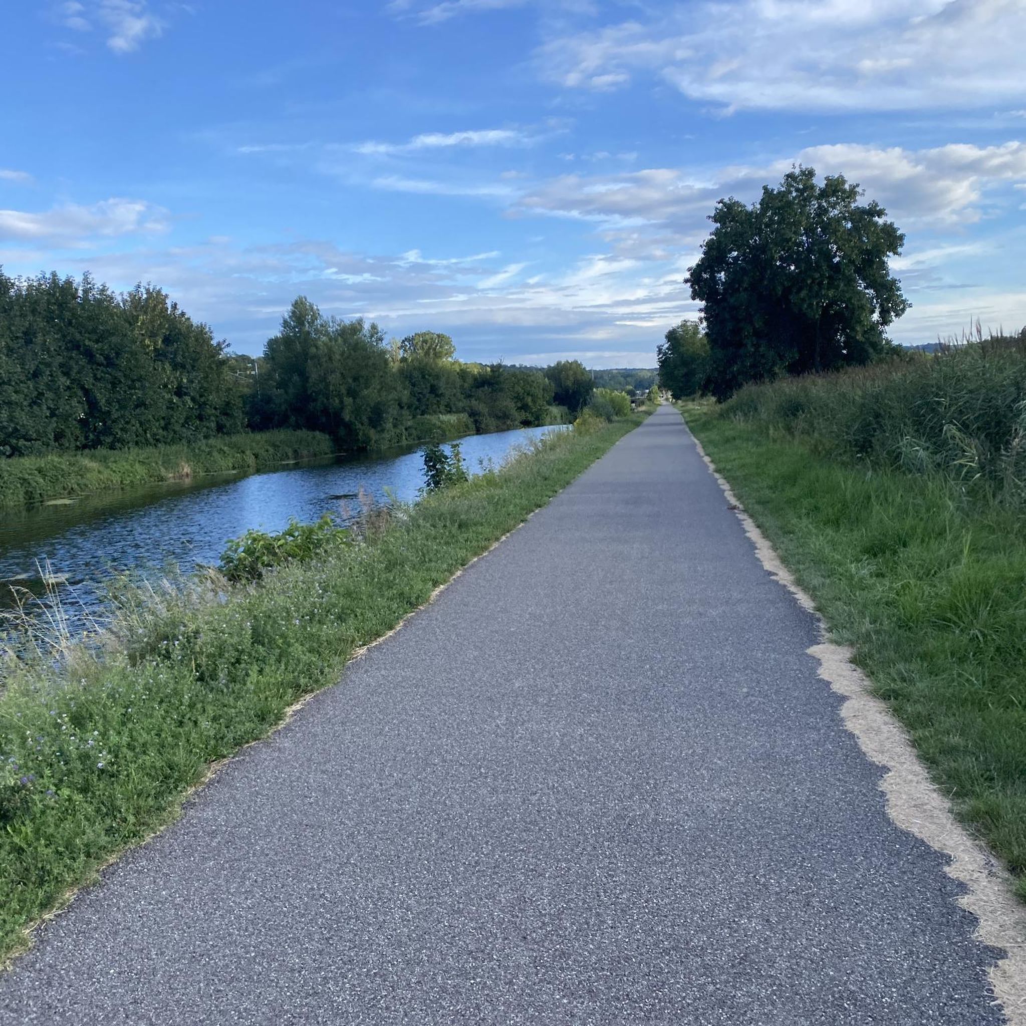
Tips from the Community

The VV221 cycle route is part of the EuroVélo 5 network and begins in Ensisheim at the Thur bridge and ends in Cernay after about 17 km. The route initially runs alongside the road, then past ponds and finally through a wooded area. It runs alongside the Thur and passes the Alsatian Ecomuseum (another route leads to Ungersheim via the Petit Prince Park). The Green Route then winds along the Thur, passing Pulversheim, Staffelfelden, and Wittelsheim, and finally reaches Cernay, still along the Thur.
0
0
The VV221 cycle route is part of the EuroVélo 5 network and begins in Ensisheim at the Thur bridge and ends in Cernay after about 17 km. The route initially runs alongside the road, then past ponds and finally through a wooded area. It runs alongside the Thur and passes the Alsatian Ecomuseum (another route leads to Ungersheim via the Petit Prince Park). The Green Route then winds along the Thur, passing Pulversheim, Staffelfelden, and Wittelsheim, and finally reaches Cernay, still along the Thur.
0
0

April '25, now in poor condition, holes, potholes and many tree roots, unsafe.
0
0

Nice track with a good surface for rollerblading overall.
0
0

A photogenic place, otherwise it's just a simple bridge.
1
0

Every kilometer a sign shows the remaining distance to the summit as well as the current altitude.
0
0

Small, friendly towns and good everything.
1
0

beautiful, well-maintained cycle path on old railway tracks
2
0
Frequently Asked Questions
How many road cycling routes are available around Niedermorschweiler?
There are over 350 road cycling routes around Niedermorschweiler, offering a wide variety of experiences for all skill levels. This includes 93 easy routes, 206 moderate routes, and 55 difficult routes.
What types of terrain can I expect on road cycling routes in Niedermorschweiler?
The region around Niedermorschweiler features a diverse landscape, from flat riverside paths ideal for leisurely rides to rolling hills and more challenging ascents towards higher elevations like the Ballon d'Alsace. You'll find routes with significant elevation gains, as well as gentler sections.
Are there any family-friendly or beginner road cycling routes in Niedermorschweiler?
Yes, Niedermorschweiler offers numerous easy routes suitable for beginners or family outings. An example is the Sun Pub – Riverside café loop from Mulhouse Musées, an easy 38.9 km path that follows scenic riverside areas and passes by local cafes.
Where can I find challenging road cycling routes with significant climbs?
For experienced cyclists seeking a challenge, routes like the Ballon d'Alsace – Rue du Ballon d'Alsace. loop from Lutterbach offer significant elevation gain, reaching up to 1298 meters over 110.8 km. Another difficult option is the Chapel of Rammersmatt – Hundsruck loop from Lutterbach, covering 79.9 km with 938 meters of ascent.
Are there any loop road cycling trails around Niedermorschweiler?
Yes, many road cycling routes in the area are designed as loops, allowing you to start and end at the same point. Examples include the Morschwiller Path – Riverside open-air tavern loop from Dornach and the Chapel of Rammersmatt – Rammersmatt - Bourbach-le-Bas loop from Dornach.
What can I see along the road cycling routes in Niedermorschweiler?
Many routes pass by interesting landmarks and natural features. You might encounter historical sites like the Mulhouse Historical Museum or the Grand Cannon of Zillisheim. Riverside routes often feature structures like the Zillisheim Drawbridge and Lock No. 35 or the Eglingen Lock along the Rhône–Rhine Canal.
What do other road cyclists say about the routes in Niedermorschweiler?
The road cycling routes around Niedermorschweiler are highly rated by the komoot community, with an average score of 4.4 stars from over 400 reviews. Cyclists often praise the varied terrain, from scenic riverside paths to challenging mountain ascents, and the well-maintained network of routes.
Are there cafes or places to stop for refreshments along the road cycling routes?
Yes, several routes are known to pass by local cafes and taverns. For instance, the Sun Pub – Riverside café loop from Mulhouse Musées is specifically highlighted for its riverside scenery and local cafes, and the Morschwiller Path – Riverside open-air tavern loop from Dornach also offers opportunities for refreshment.
What is the best time of year for road biking in Niedermorschweiler?
While road cycling is possible year-round, the spring, summer, and early autumn months generally offer the most pleasant weather conditions for exploring the diverse landscapes around Niedermorschweiler. During winter, higher elevation routes, especially towards the Ballon d'Alsace, may be affected by snow or colder temperatures.
Are there any viewpoints on the Niedermorschweiler road bike routes?
Given the region's mix of rolling hills and mountain ascents, many routes naturally offer scenic viewpoints. Routes climbing towards higher elevations, such as those in the direction of the Ballon d'Alsace, are particularly known for providing expansive vistas of the surrounding landscape.
How long do road cycling routes typically take to complete in Niedermorschweiler?
Route durations vary significantly based on distance and elevation gain. Easy routes like the Sun Pub – Riverside café loop from Mulhouse Musées (38.9 km) can take around 1 hour 35 minutes, while more challenging routes such as the Ballon d'Alsace – Rue du Ballon d'Alsace. loop from Lutterbach (110.8 km with significant climbing) can take over 5 hours.
Most popular routes around Niedermorschweiler
Most popular attractions around Niedermorschweiler

Get inspired with the komoot mobile app


Explore more
Browse the best Road cycling routes in other regions.
