The best walks and hikes around Niedermorschweiler
4.6
(662)
4,994
hikers
504
hikes
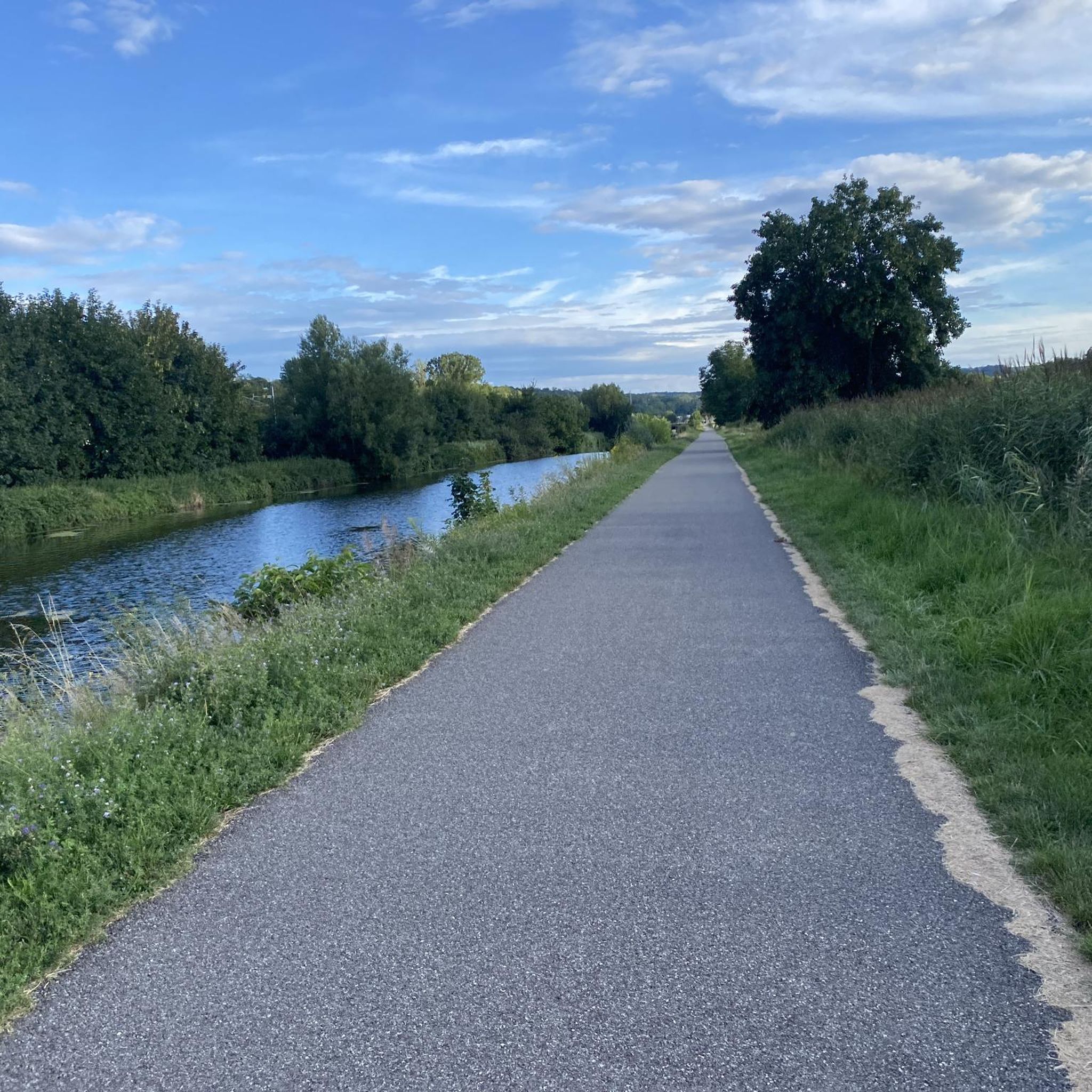
Hiking trails around Niedermorschweiler are largely characterized by their proximity to the Rhône-Rhein-Kanal, offering accessible paths along its towpaths. The region features a generally flat landscape with minimal elevation changes, providing opportunities for walks alongside waterways and views of 19th-century civil engineering structures like the Zillisheimer Klappbrücke. While extensive natural features are limited directly within Niedermorschweiler, the area provides a peaceful setting for outdoor activity.
Best hiking trails around Niedermorschweiler
- The most popular hiking route is Graffiti on the canal…
Last updated: July 5, 2026
19
hikers
3.61km
00:56
20m
10m
Easy hike. Great for any fitness level. Easily-accessible paths. Suitable for all skill levels.
5.0
(2)
13
hikers
11.2km
02:52
40m
40m
Moderate hike. Good fitness required. Easily-accessible paths. Suitable for all skill levels.

Sign up for free
4.8
(4)
11
hikers
6.30km
01:37
30m
30m
Easy hike. Great for any fitness level. Easily-accessible paths. Suitable for all skill levels.
10
hikers
9.37km
02:23
30m
30m
Moderate hike. Good fitness required. Easily-accessible paths. Suitable for all skill levels.
5.0
(1)
11
hikers
5.04km
01:17
10m
10m
Easy hike. Great for any fitness level. Easily-accessible paths. Suitable for all skill levels.
Get access to more routes and recommendations from other explorers.
Sign up for free
Already have an account?
Our route recommendations are based on thousands of hikes, rides, and runs completed by other people on komoot.
Start today with a free account
Your next adventure awaits.
Login or Signup
Tips from the Community

Allows crossing the Ill at height, behind the Olympic ice rink, between the swimming pool, mini-golf and campsite.
0
0
12/03/2026: Footbridge open to pedestrians and cyclists. No (more?) works in progress.
0
0

A beautiful abbey situated in the middle of fields, offering a shop selling monastic products.
0
0

So many locks, absolutely insane. Beautiful cycle path EV6.
0
0

Very nice campsite, with its own bicycle shelter and repair facilities. Very nice receptionist. They also have their own house beer here.
4
0

Lake Reiningue is a picturesque reservoir in Alsace. Surrounded by scenic landscapes, the lake offers a peaceful setting for swimming and fishing. Its banks offer walking and cycling paths, although it is compact gravel, so not ideal for a road bike.
3
1

Frequently Asked Questions
How many hiking trails are available around Niedermorschweiler?
There are over 470 hiking routes available in and around Niedermorschweiler. These include a wide range of options, with more than 240 easy trails, over 200 moderate routes, and about 20 more challenging hikes.
What is the typical terrain and elevation like for hikes in Niedermorschweiler?
The hiking trails around Niedermorschweiler are generally characterized by a flat landscape with minimal elevation changes. Many routes follow the towpaths along the Rhône-Rhein-Kanal, offering accessible walks alongside waterways. You'll find the terrain to be mostly level, making it suitable for various fitness levels.
What do other hikers say about the trails in Niedermorschweiler?
The trails in Niedermorschweiler are highly rated by the komoot community, with an average score of 4.6 stars from over 560 reviews. Hikers often appreciate the peaceful canal-side paths and the views of 19th-century civil engineering structures.
Are there any easy hiking trails suitable for beginners or casual walkers?
Yes, Niedermorschweiler offers many easy trails. For example, the Ill Municipal Campsite – Lock 38 loop from Brunstatt-Didenheim is an easy 5.2 km route that follows the canal, perfect for a relaxed walk.
Can I find any circular hiking routes in the area?
Yes, many routes in the area are circular. A popular option is the Reiningue Pond loop from Reiningue, which is a moderate 9.4 km trail offering scenic views around the pond.
What natural features or landmarks can I expect to see on hikes near Niedermorschweiler?
Hikes near Niedermorschweiler often feature the Rhône-Rhein-Kanal and its historical engineering structures. You can see landmarks like the Zillisheim Drawbridge and Lock No. 35, and the Eglingen Lock. These provide a glimpse into the region's industrial heritage amidst peaceful waterside settings.
Are there any family-friendly hiking options in Niedermorschweiler?
Given the generally flat terrain and canal-side paths, many routes are suitable for families. Easy, shorter loops like the Oelenberg Abbey loop from Reiningue (3.9 miles) are great for walks with children, offering accessible and enjoyable outdoor experiences.
Are dogs allowed on the hiking trails in Niedermorschweiler?
Most trails along the Rhône-Rhein-Kanal and in the surrounding areas are generally dog-friendly. It's always recommended to keep your dog on a leash, especially near waterways or in more populated areas, and to carry waste bags to maintain the cleanliness of the paths.
What is the best time of year to go hiking in Niedermorschweiler?
The best time for hiking in Niedermorschweiler is typically from spring through autumn (April to October). During these months, the weather is generally mild and pleasant, making the canal-side walks and exploration of the surrounding areas most enjoyable. Summer can be warm, so early mornings or late afternoons are ideal.
Are there any longer or more challenging hikes available?
While the region is known for its flat terrain, there are moderate options for those seeking a bit more distance. The Oelenberg Abbey – Reiningue - Reiningue Lake loop from Reiningue is a moderate 11.2 km path that explores a mix of open and waterside scenery, offering a longer outing.
Where can I find parking for hiking trails in Niedermorschweiler?
Parking is generally available in the villages and towns near the trailheads, especially in areas like Brunstatt-Didenheim or Reiningue, which serve as starting points for many routes. Look for designated parking areas near canal access points or local attractions.
Can I access hiking trails in Niedermorschweiler using public transport?
Access to trails via public transport depends on the specific starting point. Many routes begin in or near towns that have local bus services. It's advisable to check local public transport schedules for connections to villages like Brunstatt-Didenheim or Reiningue, which are common starting points for hikes.
Most popular routes around Niedermorschweiler
Most popular attractions around Niedermorschweiler

Get inspired with the komoot mobile app


Explore more
Browse the best Hikes in other regions.
