The best gravel rides around Torralba De Calatrava
3.5
(2)
14
riders
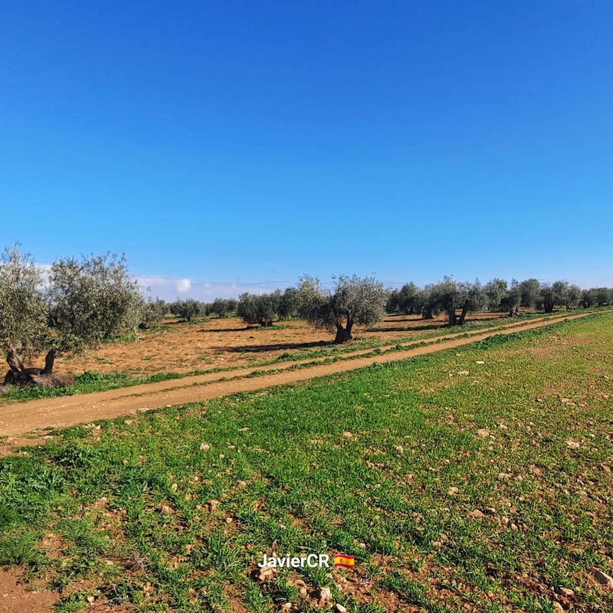
Gravel biking around Torralba De Calatrava features routes through the flat to gently rolling plains of La Mancha, characterized by agricultural landscapes, scattered vineyards, and the occasional water body. The region's geological origins include the volcanoes of Campo de Calatrava, which have sculpted a landscape of moorlands and undulating roads. The Guadiana River and its tributaries traverse the area, contributing to wetlands like the Tablas de Daimiel National Park and the saline Laguna del Prado. Terrain primarily consists of unpaved rural roads and tracks, offering a mix of surfaces suitable for gravel bikes.
Best gravel bike trails around Torralba De Calatrava
- The most popular gravel bike trail is Vicario Dam – Bridge of Peralvillo loop from Miguelturra, a 40.6 miles (65.4 km) trail that takes 5 hours 6 minutes to complete. This difficult route explores the area around the Vicario Dam and the Peralvillo Bridge, traversing varied terrain.
- Another top favourite among local gravel bikers is Navaseca Lagoon – Navaseca Lagoon (Daimiel) loop from Daimiel, a moderate 21.6 miles (34.7 km) path. This route offers views of the Navaseca Lagoon and its surrounding natural environment, characterized by open plains.
- Local gravel bikers also love the Church of Peace (Daimiel) – Camino de Griñón loop from Daimiel, a 27.7 miles (44.6 km) trail leading through agricultural fields and rural roads, often completed in about 2 hours 55 minutes.
- Gravel biking around Torralba De Calatrava is defined by open plains, agricultural land, and the presence of lagoons and dams. The network offers options for various ability levels, from moderate paths to more difficult routes.
- The guide includes highly-rated routes that showcase the best of the region's landscape. More than 20 gravel bikers have used komoot to explore Torralba De Calatrava's varied terrain.
Last updated: July 2, 2026
2
riders
44.9km
03:11
160m
160m
Moderate gravel ride. Good fitness required. Mostly paved surfaces. Suitable for all skill levels.
4.0
(1)
3
riders
Moderate gravel ride. Good fitness required. Mostly paved surfaces. Suitable for all skill levels.

Sign up for free
3.0
(1)
3
riders
33.7km
02:27
130m
130m
Moderate gravel ride. Good fitness required. Mostly paved surfaces. Suitable for all skill levels.
1
riders
39.2km
02:37
140m
140m
Moderate gravel ride. Good fitness required. Mostly paved surfaces. Suitable for all skill levels.
1
riders
44.0km
02:53
160m
160m
Moderate gravel ride. Good fitness required. Mostly paved surfaces. Suitable for all skill levels.
Our route recommendations are based on thousands of hikes, rides, and runs completed by other people on komoot.
Start today with a free account
Your next adventure awaits.
Login or Signup
Popular around Torralba De Calatrava
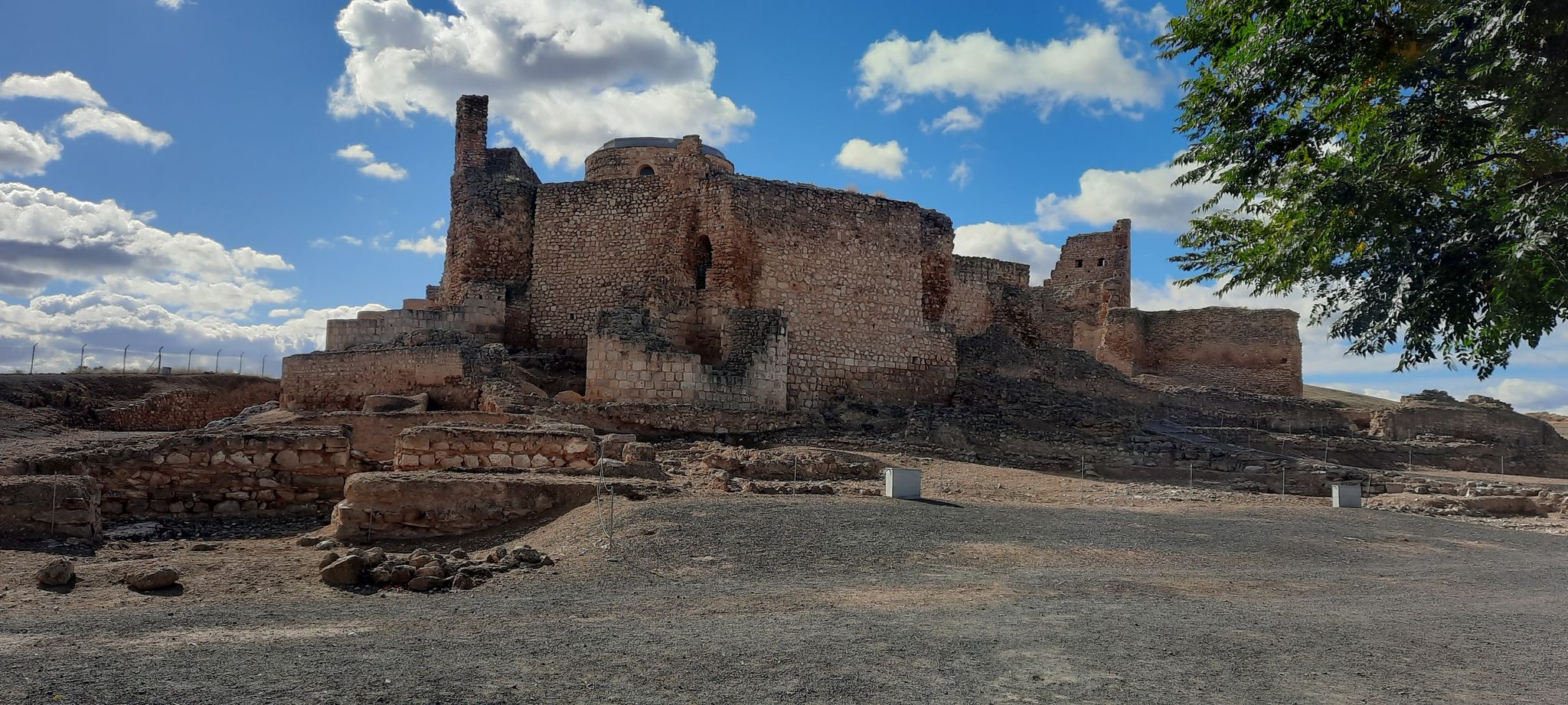
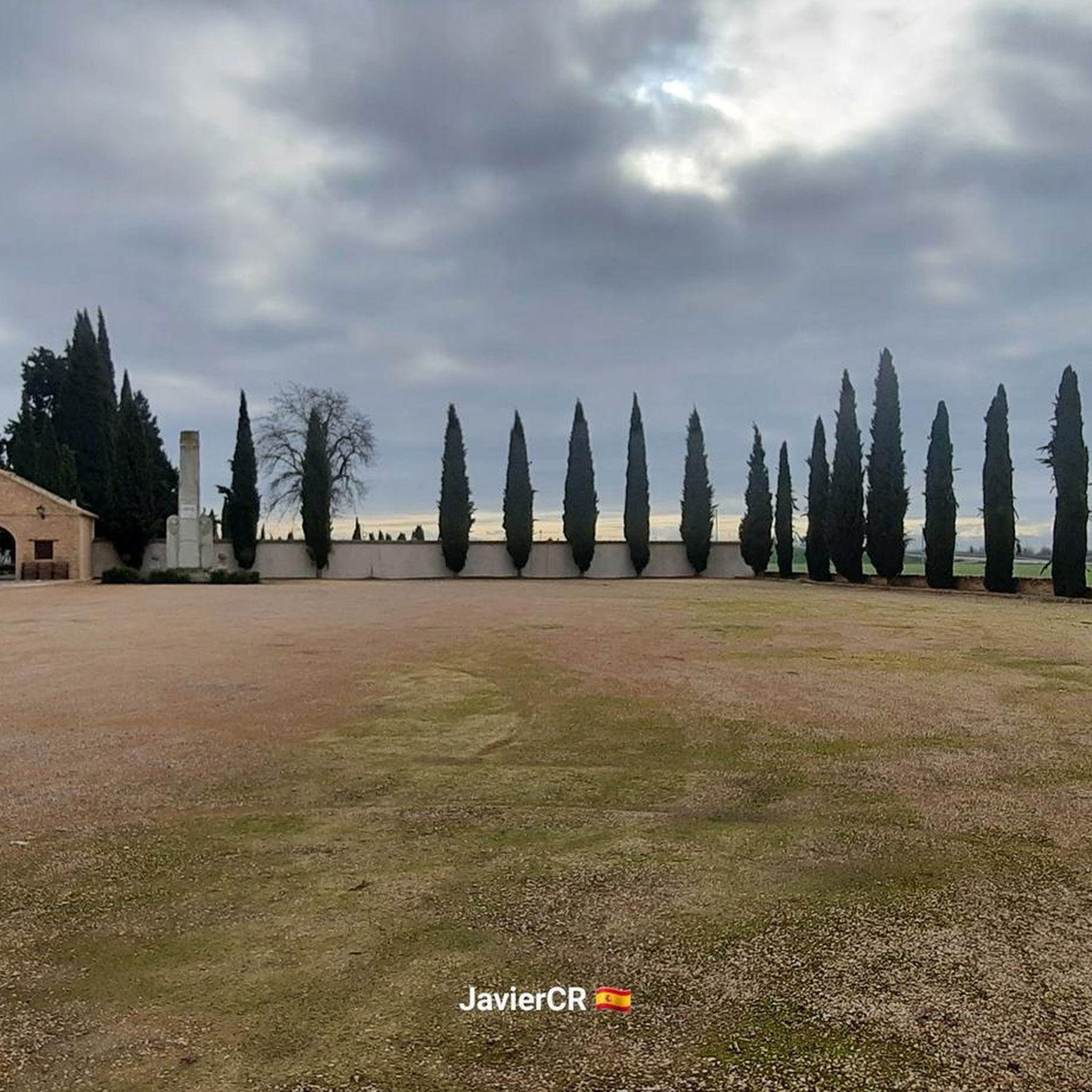
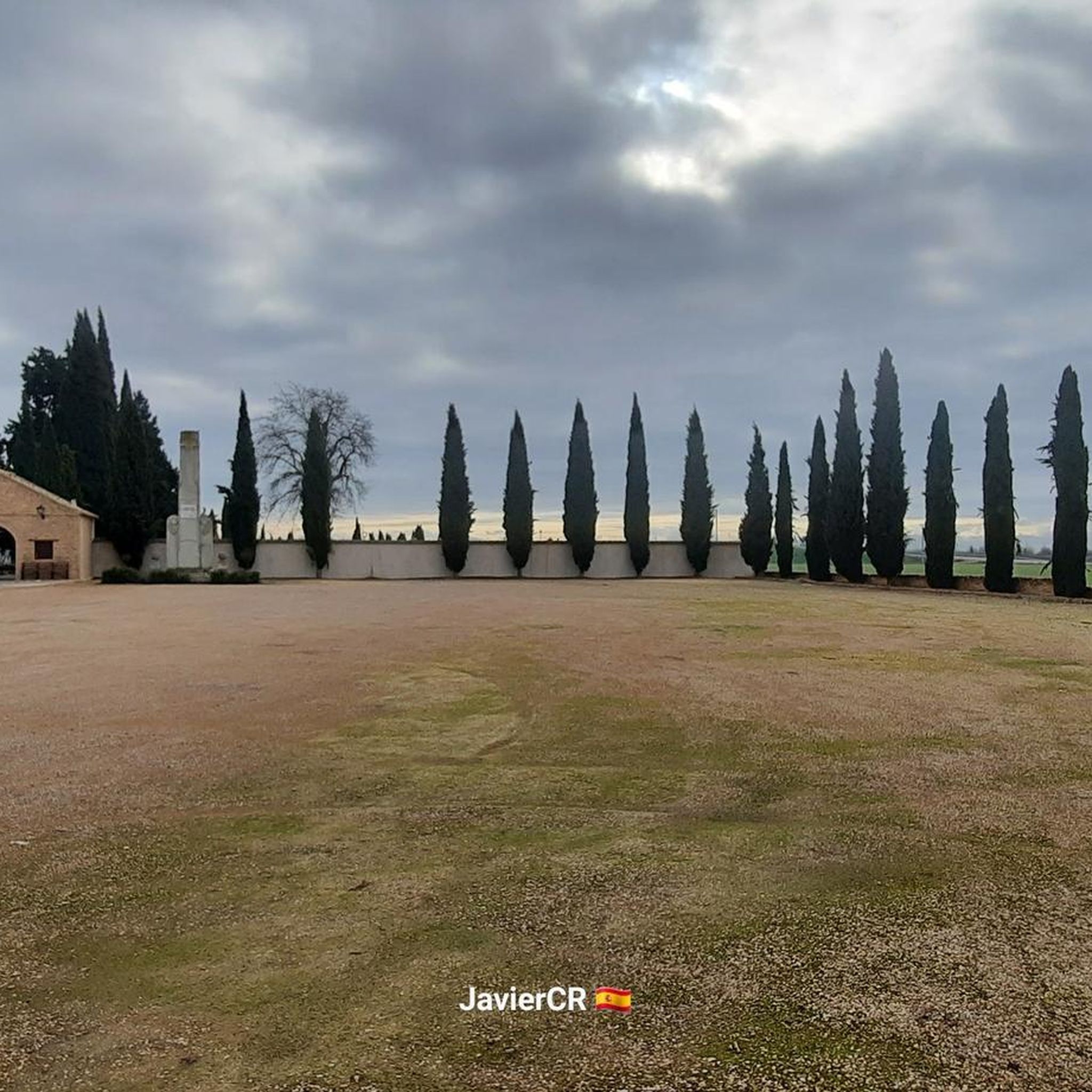
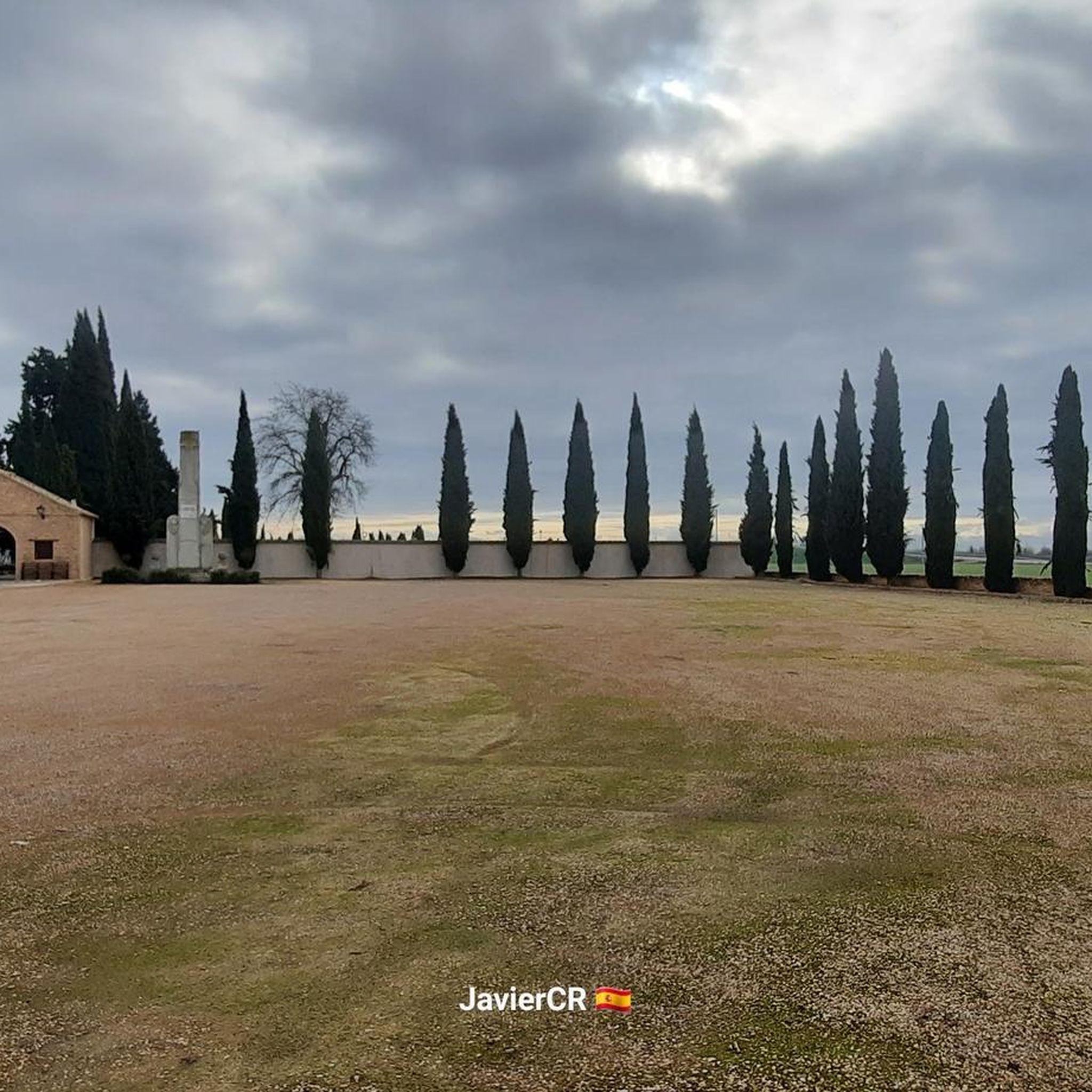
Other adventures around Torralba De Calatrava

Tips from the Community

The Camino de Ciudad Real in Daimiel is a very important rural road that connects the town center with the exit to the N-430 and A-43 highways, heading toward Ciudad Real. It has recently undergone a complete renovation to improve its accessibility and safety.
21
0
The intersection of the A-43 and the Camino de Manzanares in Daimiel is located in a rural area southeast of the town, very close to the Azuer River and the surroundings of Motilla del Azuer.
19
0
The area known as Argamasilla (not to be confused with Argamasilla de Calatrava) is located southeast of the town center, near the Camino del Carrerón, the Azuer River, and the Motilla del Azuer. This level crossing crosses the Ciudad Real–Manzanares railway line and connects rural roads running south to north, particularly the Camino del Carrerón. It is used by agricultural vehicles and hikers accessing the Motilla del Azuer or nearby farms.
19
0
The Camino del Carrerón crosses the Ciudad Real–Manzanares railway line. This crossing connects the agricultural areas south of the Azuer River with those north of it, allowing the passage of agricultural vehicles and access to the Motilla del Azuer.
19
0
The intersection of the Camino del Carrerón and the road to Manzanares is located in the municipality of Daimiel, in the province of Ciudad Real, Castilla-La Mancha. This point is located in a rural area southeast of the urban center of Daimiel, very close to the Azuer River and the Motilla del Azuer.
19
0

The Cigüela River is curious because of the vegetation that populates it.
1
0
La Venta de Borondo is a historic inn located between Bolaños de Calatrava and Manzanares, in the province of Ciudad Real, Castilla-La Mancha. Built in the 16th century, this inn is known for its typical period architecture, with a rectangular floor plan, two floors, a turret on one corner, and a central courtyard. It is believed that La Venta de Borondo may have inspired Miguel de Cervantes in his work "Don Quixote de la Mancha," as these inns were common during long voyages of the time. Currently, the inn is used as a farmhouse and second home.
12
0
The Teletubbies roundabout in Daimiel is quite famous! It's a roundabout decorated with figures of characters from the famous children's series "Teletubbies." It's located near the motorhome area and the Plaza de Almagro park.
26
0
Frequently Asked Questions
What is the general terrain like for gravel biking around Torralba De Calatrava?
The region offers routes through flat to gently rolling plains, characterized by agricultural landscapes, scattered vineyards, and water bodies like the Vicario Dam or Navaseca Lagoon. The terrain primarily consists of unpaved rural roads and tracks, with modest elevation changes.
Are there any beginner-friendly gravel bike trails in the area?
Yes, while some routes are more challenging, there are options suitable for beginners. For instance, the Pozuelo de Calatrava – CM-45 crossing loop from Pozuelo de Calatrava is a moderate 18.7-mile (30.0 km) trail that takes about 2 hours 5 minutes, offering a good introduction to the local terrain.
What are some longer or more challenging gravel routes available?
For a more challenging ride, consider the Vicario Dam – Bridge of Peralvillo loop from Miguelturra. This difficult route spans 40.6 miles (65.4 km) and explores the area around the Vicario Dam and the Peralvillo Bridge, typically taking around 5 hours 49 minutes to complete.
Are there any circular gravel bike routes around Torralba De Calatrava?
Yes, many of the gravel routes in the region are designed as loops. Examples include the Navaseca Lagoon – Navaseca Lagoon (Daimiel) loop from Daimiel and the Hermitage of San Isidro (Daimiel) – Venta de Borondo loop from Daimiel, both offering scenic circular journeys.
What kind of natural attractions can I see along the gravel bike trails?
The routes often pass by significant natural features. You can explore areas around the Laguna del Prado, the Tablas de Daimiel National Park, and the Gasset Reservoir Dam. There are also various viewpoints, such as this Observation point, offering panoramic views.
What is the best season for gravel biking in Torralba De Calatrava?
The best seasons for gravel biking in this region are typically spring and autumn. During these times, temperatures are milder, making for more comfortable riding conditions. Summers can be very hot, and winters can be chilly, though riding is possible year-round with appropriate gear.
Are there any less crowded gravel bike routes for a quieter experience?
While popular routes like the Vicario Dam loop attract riders, you can often find quieter experiences on routes that traverse more agricultural fields and rural roads. Exploring routes starting from smaller towns or those slightly off the main attractions, such as the Church of Peace (Daimiel) – Molino de Melocho loop from Daimiel, might offer a more serene ride.
What should I expect regarding gravel bike conditions in the area?
The gravel bike conditions primarily involve unpaved rural roads and tracks. Surfaces can vary from compacted dirt to looser gravel, and some sections may be muddy after rain. It's advisable to check local weather conditions before heading out, especially during wetter periods.
What do other gravel bikers enjoy most about the routes in Torralba De Calatrava?
Gravel bikers often appreciate the open plains and agricultural landscapes, which provide a sense of space and tranquility. The presence of lagoons and dams adds scenic variety, and the routes are generally well-suited for exploring the rural heart of La Mancha.
Are there any routes suitable for families with children?
For families, moderate routes with less elevation gain and shorter distances are recommended. The Navaseca Lagoon – Navaseca Lagoon (Daimiel) loop from Daimiel, at 21.6 miles (34.7 km) and moderate difficulty, could be a good option, offering views of the lagoon in a relatively flat setting.
Where can I find parking for gravel bike routes in Torralba De Calatrava?
Many routes start from towns or villages like Miguelturra, Daimiel, or Pozuelo de Calatrava. You can typically find public parking in these starting points, often near town centers or designated areas. It's recommended to check specific starting locations for available parking facilities.
Most popular routes around Torralba De Calatrava
Most popular attractions around Torralba De Calatrava

Get inspired with the komoot mobile app


Explore more
Browse the best Gravel rides in other regions.
