The best gravel rides around Valle De Abdalajís
4.0
(2)
25
riders
4
rides
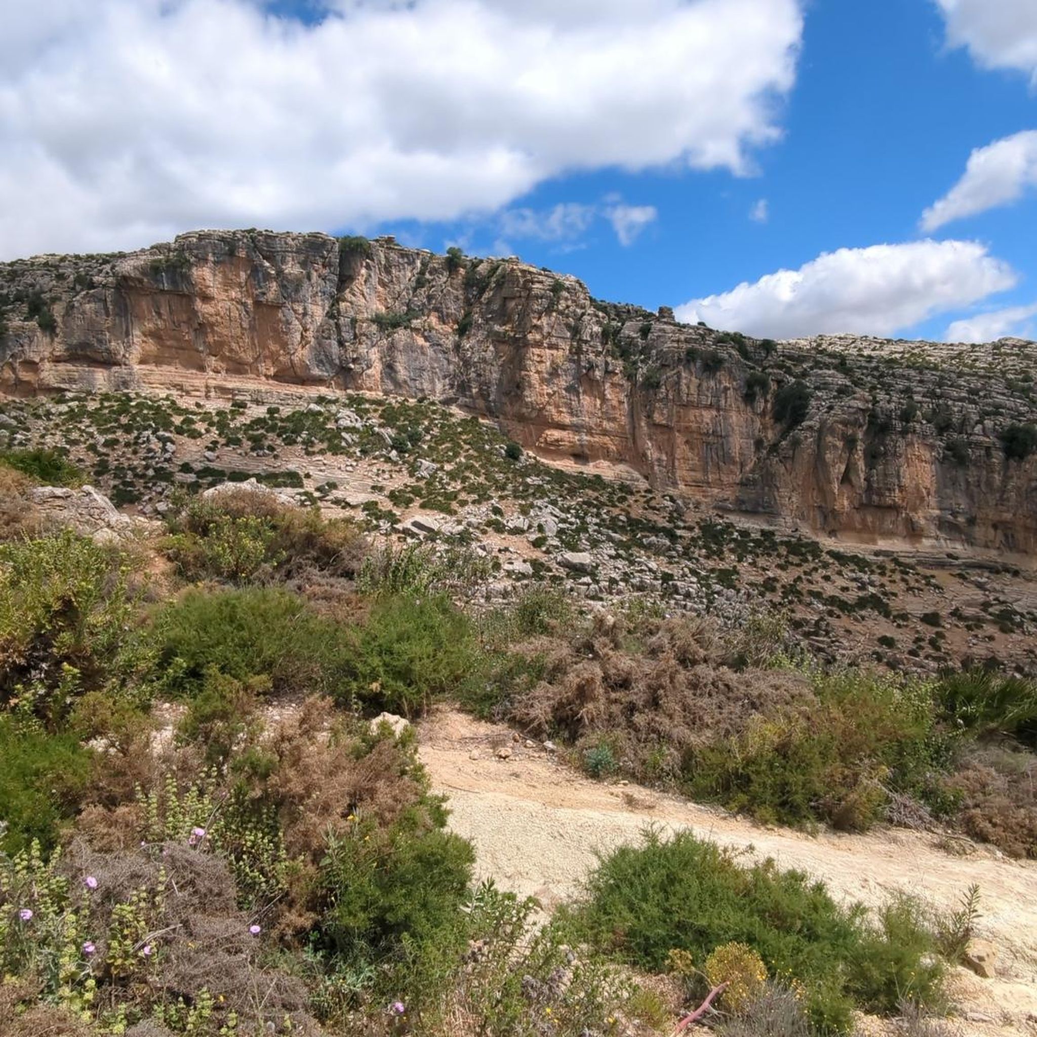
Gravel biking around Valle De Abdalajís offers routes through a landscape characterized by varied terrain, including hilly sections and views of significant natural features. The region features a mix of open areas and paths that traverse the local topography. Riders can expect routes that navigate through the area's distinct geological formations and river valleys. These trails provide opportunities to explore the natural environment of Valle De Abdalajís.
Best gravel bike trails around Valle De Abdalajís
- The most popular gravel bike trail is View of Caminito del Rey – Caminito del Rey loop from El Chorro-Caminito del Rey, a 20.2 miles (32.6 km) trail that takes 2 hours 49 minutes to complete. This route features significant elevation gain and views of the Caminito del Rey area.
- Another top favourite among local gravel bikers is Guadalhorce Reservoir – View of Valle de Abdalajís loop from Las Mellizas, a difficult 43.3 miles (69.7 km) path. This route offers extensive views of the Valle de Abdalajís and passes by the Guadalhorce Reservoir.
- Local gravel bikers also love the Álora Castle – View of Valle de Abdalajís loop from El Chorro-Caminito del Rey, a 26.0 miles (41.8 km) trail leading through hilly terrain with views towards Álora Castle, often completed in about 3 hours 19 minutes.
- Gravel biking around Valle De Abdalajís is defined by challenging climbs, reservoir views, and paths through the local hills. The network offers options primarily for experienced riders seeking more demanding routes.
- The routes in Valle De Abdalajís are highly rated by the komoot community with an average score of 4.3 stars from a few reviews. More than 30 gravel bikers have used komoot to explore Valle De Abdalajís's varied terrain.
Last updated: August 26, 2026
5.0
(1)
12
riders
Hard gravel ride. Very good fitness required. Mostly paved surfaces. Suitable for all skill levels.
6
riders
47.8km
03:39
1,170m
1,170m
Hard gravel ride. Very good fitness required. Mostly paved surfaces. Suitable for all skill levels.

Sign up for free
3.0
(1)
1
riders
Moderate gravel ride. Good fitness required. Mostly paved surfaces. Suitable for all skill levels.
4
riders
Hard gravel ride. Very good fitness required. Mostly paved surfaces. Suitable for all skill levels.
2
riders
59.4km
04:22
1,160m
1,160m
Hard gravel ride. Very good fitness required. Mostly paved surfaces. Suitable for all skill levels.
Our route recommendations are based on thousands of hikes, rides, and runs completed by other people on komoot.
Start today with a free account
Your next adventure awaits.
Login or Signup

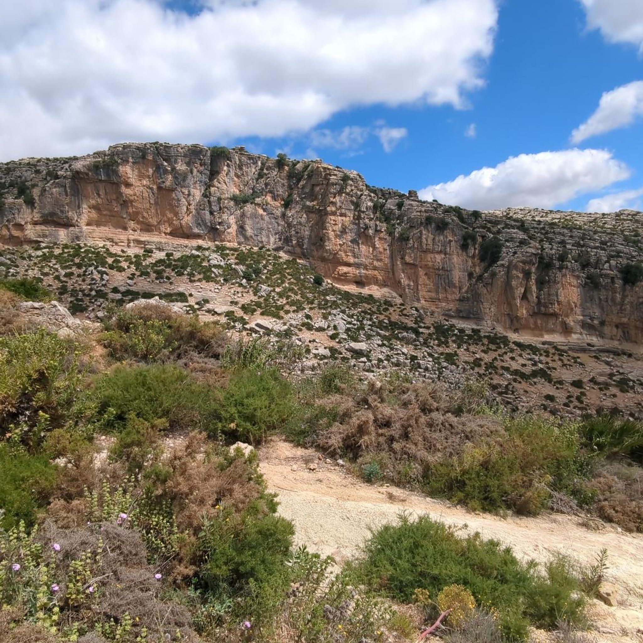
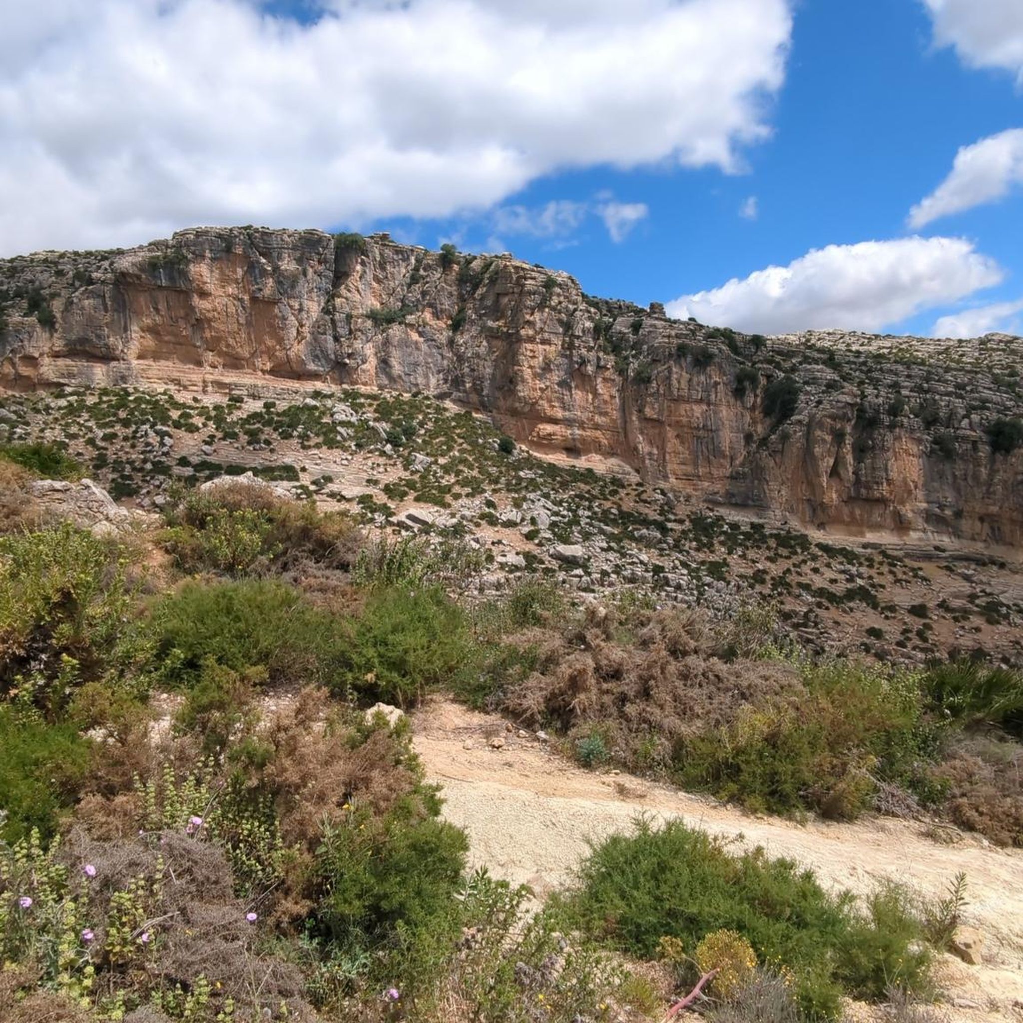
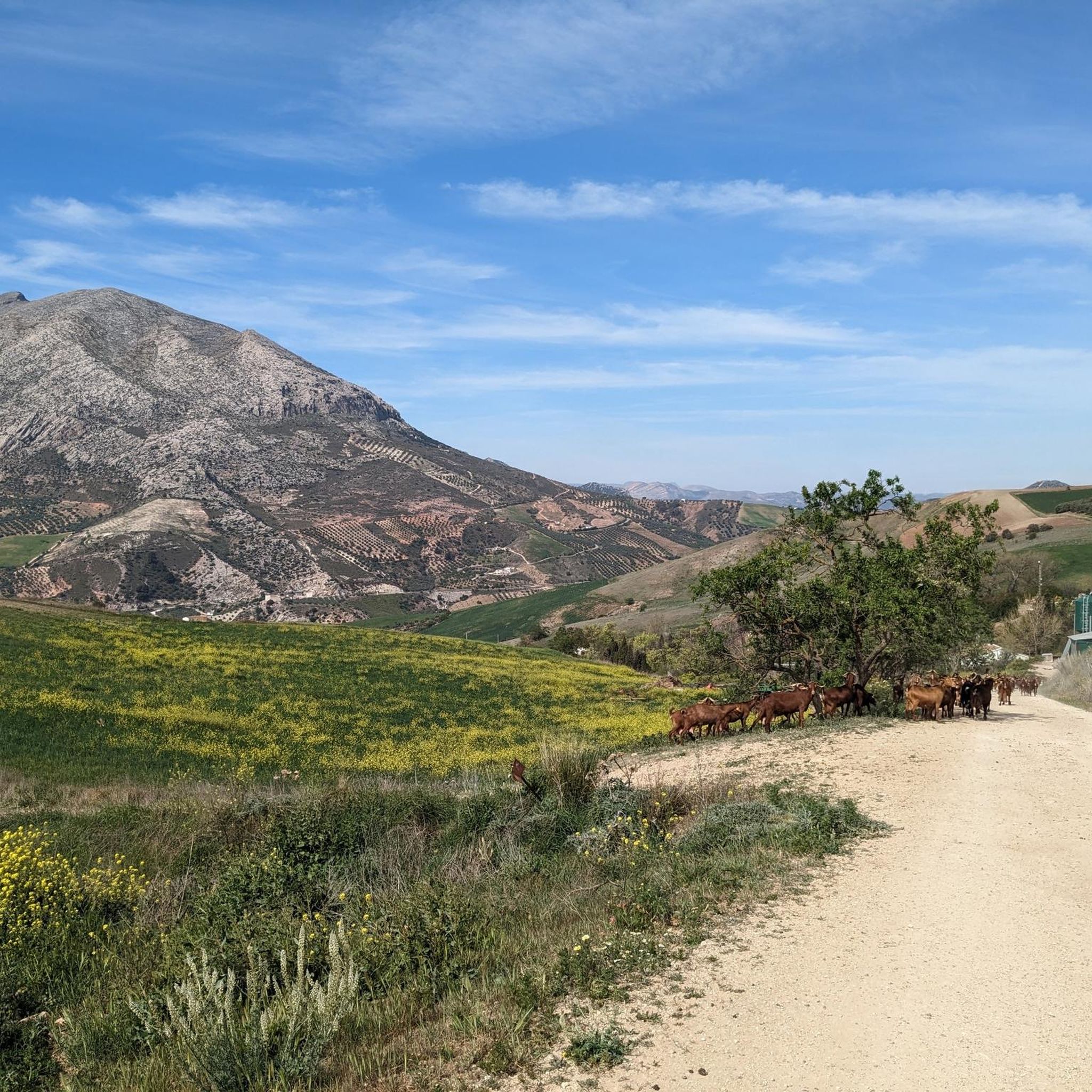
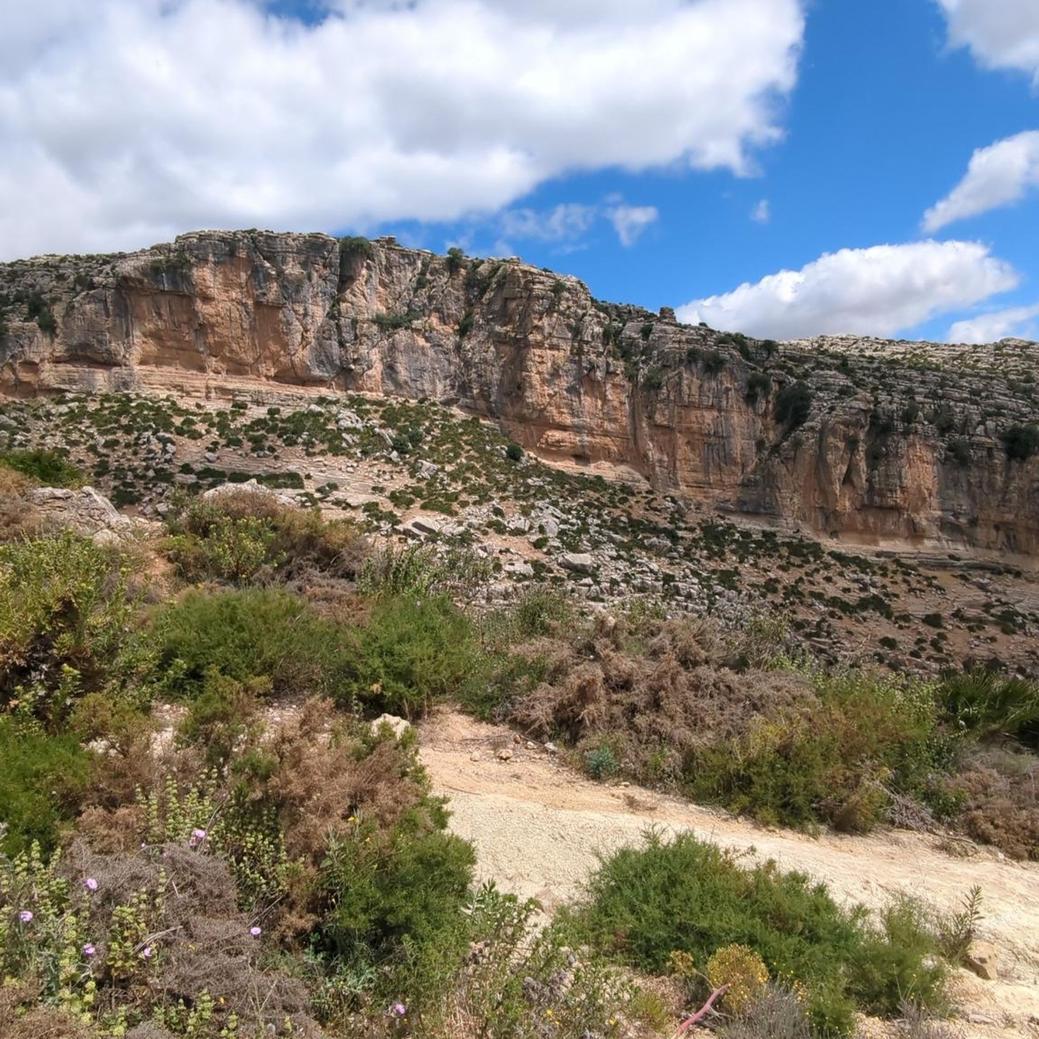
Other adventures around Valle De Abdalajís

Tips from the Community

Rewarding hike through the Guadalhorce gorge
0
0

Well-lit tunnel as a shortcut to the start of the Caminito del Rey. A bit low for people 1.90m and taller, otherwise another highlight around the Caminito del Rey. The tunnel is approx. 500m long and you can see the end of the tunnel right from the beginning.
4
0

The Conde de Guadalhorce reservoir is nestled in a picturesque mountain landscape near El Chorro and impresses with turquoise water, steep rock faces and tranquil nature, making it a particularly idyllic destination for tours.
1
0
The climb is noticeable and requires fitness, but the effort is rewarded with a magnificent view of the landscape.
0
0

You can cycle right up to the viewpoint, it's worth it! ;)
1
0

Great view of the reservoir
4
0
You can't get enough of it.
5
0

It is the beginning of the gorge
0
0
Frequently Asked Questions
How many gravel bike trails are available in Valle De Abdalajís?
There are 5 gravel bike trails documented in Valle De Abdalajís on komoot. These routes primarily cater to experienced riders due to their challenging nature.
Are there any easy or family-friendly gravel bike routes in Valle De Abdalajís?
The gravel biking routes in Valle De Abdalajís are generally considered difficult, with no easy or moderate trails listed. They are primarily suited for experienced riders looking for challenging climbs and demanding terrain, making them less ideal for beginners or families with young children.
What is the typical duration for gravel bike routes in Valle De Abdalajís?
The duration of gravel bike routes in Valle De Abdalajís varies depending on the specific trail and your pace. For example, the View of Caminito del Rey – Caminito del Rey loop from El Chorro-Caminito del Rey typically takes around 2 hours 49 minutes, while the longer Guadalhorce Reservoir – View of Valle de Abdalajís loop from Las Mellizas can take over 5 hours 40 minutes.
What kind of terrain can I expect on gravel bike trails in Valle De Abdalajís?
Gravel bike trails in Valle De Abdalajís feature varied terrain, including hilly sections, significant elevation gains, and paths that traverse distinct geological formations and river valleys. Riders can expect challenging climbs and routes through local hills, often with views of reservoirs and natural landmarks.
Are there any circular gravel bike routes in Valle De Abdalajís?
Yes, many of the gravel bike routes in Valle De Abdalajís are designed as loops. Examples include the Guadalhorce Reservoir – View of Valle de Abdalajís loop from Las Mellizas and the Álora Castle – View of Valle de Abdalajís loop from El Chorro-Caminito del Rey, offering riders the convenience of starting and ending at the same point.
What are some notable viewpoints or attractions along the gravel bike routes?
Many routes offer scenic viewpoints. You can enjoy views of the Caminito del Rey area on routes like the View of Caminito del Rey – Caminito del Rey loop from El Chorro-Caminito del Rey. Other trails provide extensive views of the Valle de Abdalajís and pass by the Guadalhorce Reservoir, or offer glimpses of historical sites like Álora Castle.
What natural attractions can I explore near the gravel bike trails?
Beyond the trails themselves, the region is rich in natural and historical sites. You can find impressive natural monuments such as the famous Caminito del Rey and its northern entrance, or the unique rock formations of The Torcal of Antequera. There are also various caves and historical cliff dwellings to discover, like Túnel de los Tafonis.
What do other gravel bikers say about the trails in Valle De Abdalajís?
The gravel biking routes in Valle De Abdalajís are highly rated by the komoot community, with an average score of 4.3 stars. Riders often praise the challenging nature of the trails, the stunning reservoir views, and the unique experience of cycling through the local hills and geological formations.
What is the best time of year for gravel biking in Valle De Abdalajís?
While specific conditions vary, the region generally experiences hot summers. Spring and autumn typically offer more moderate temperatures, making them ideal for tackling the demanding routes. Winter can also be suitable, but it's always advisable to check local weather forecasts for rain or cooler conditions, especially in higher elevations.
Are there any routes that pass by the Guadalhorce Reservoir?
Yes, several routes offer views of or pass directly by the Guadalhorce Reservoir. The Guadalhorce Reservoir – View of Valle de Abdalajís loop from Las Mellizas is a prime example, providing extensive views of the reservoir and the surrounding landscape. Another option is the Guadalhorce Reservoir – Caminito del Rey loop from Puerto de las Atalayas.
What should I wear for gravel biking in Valle De Abdalajís?
Given the varied terrain and potential for significant elevation changes, it's recommended to wear appropriate cycling gear suitable for challenging conditions. Layers are advisable to adapt to temperature fluctuations, especially during ascents and descents. Always bring enough water, sun protection, and consider padded shorts for comfort on longer rides.
Most popular routes around Valle De Abdalajís
Most popular attractions around Valle De Abdalajís

Get inspired with the komoot mobile app


Explore more
Browse the best Gravel rides in other regions.
