The best running trails around Valle De Abdalajís
4.6
(12)
484
runners
25
runs
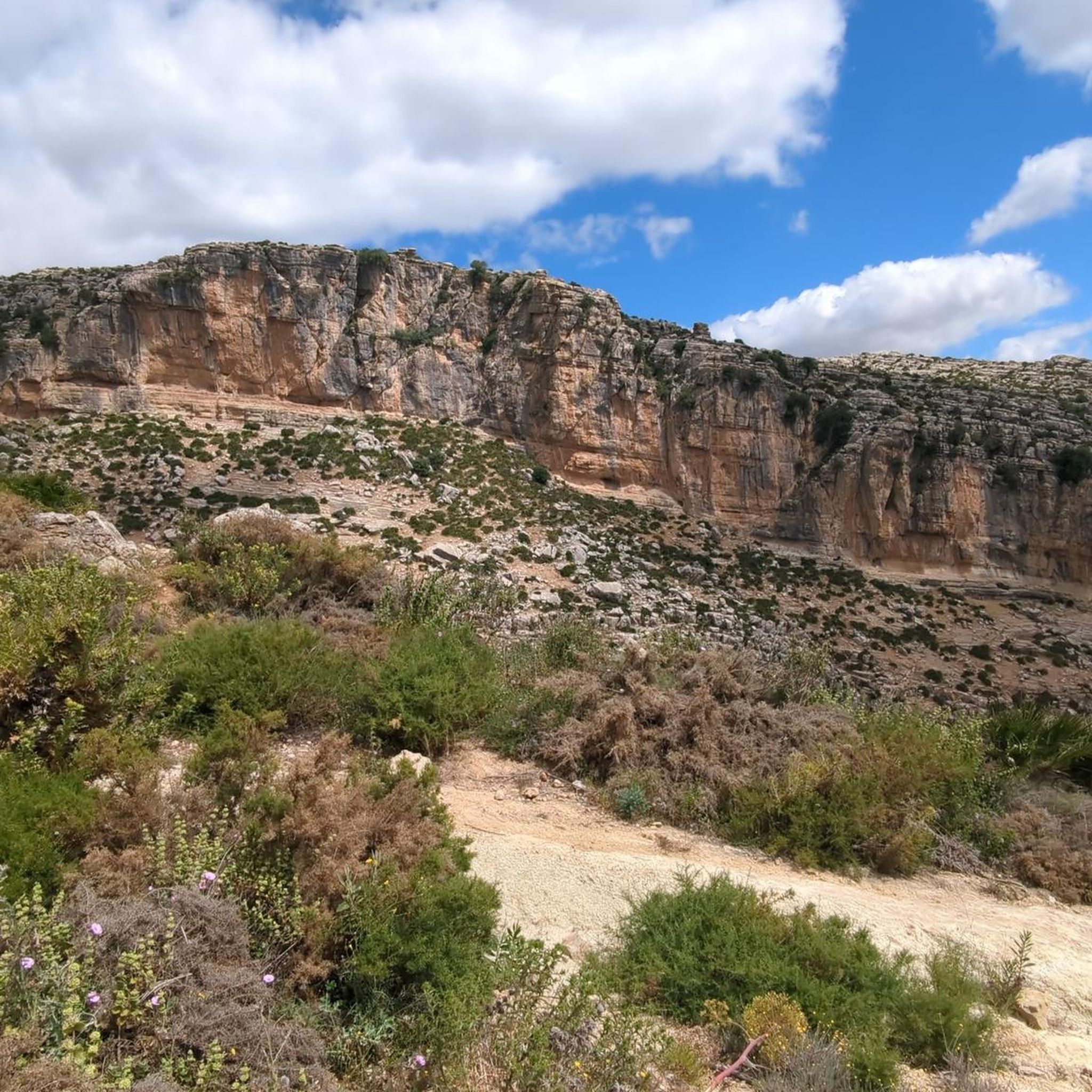
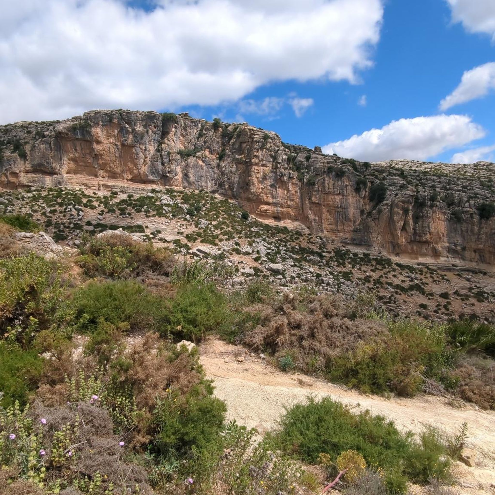
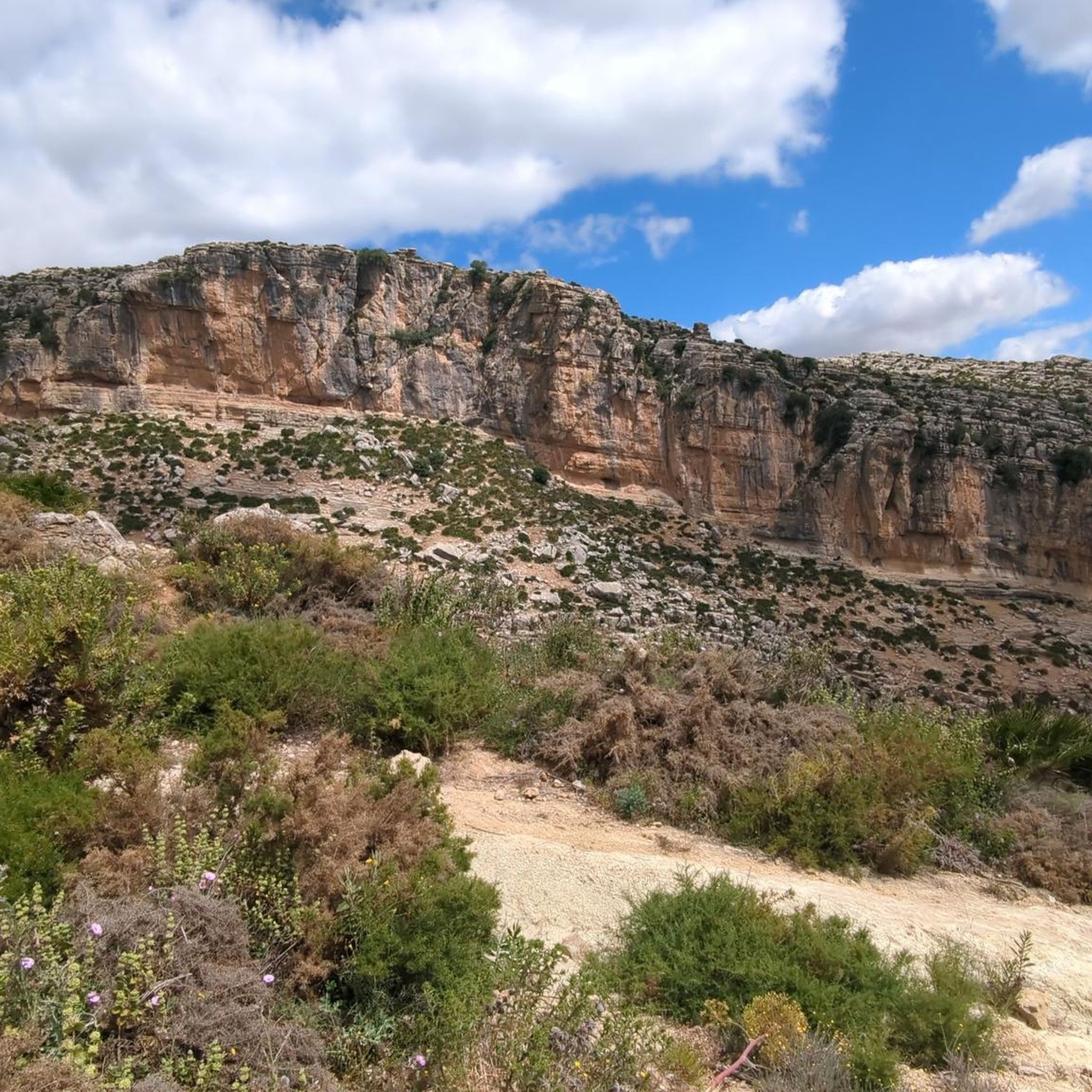
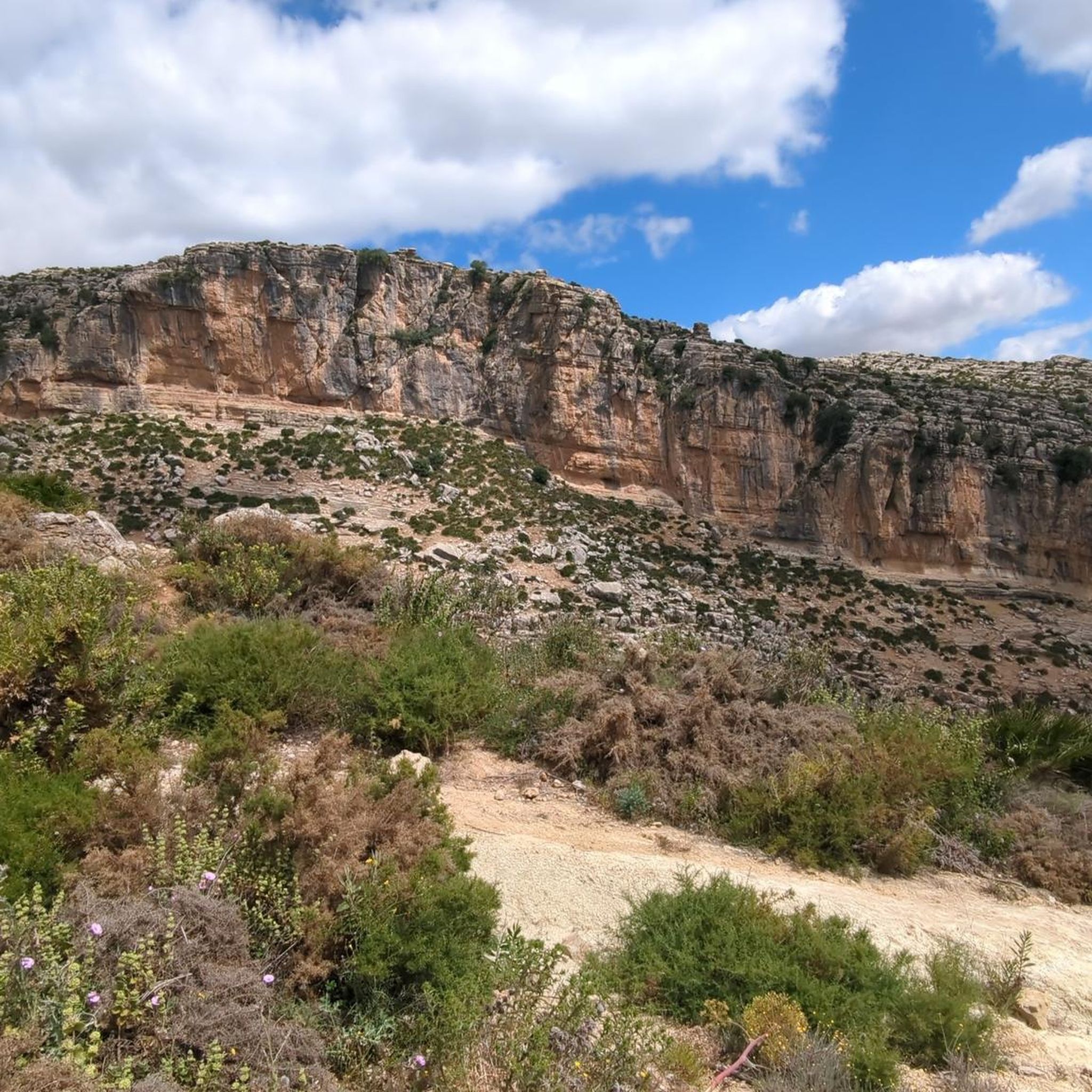
Jogging around Valle De Abdalajís offers routes through a landscape characterized by deep gorges, limestone formations, and reservoirs. The region features significant elevation changes, with many trails ascending into the surrounding hills of the Sierra de Abdalajís. Running routes often traverse varied terrain, including paths near the El Chorro Gorge and the Tajo de la Encantada Reservoir. This area provides diverse experiences, from challenging mountain ascents to valley runs, set against a backdrop of rugged mountains and agricultural lands.
Best jogging routes around Valle De Abdalajís
- The most popular jogging route is El Chorro Gorge – Arabic Steps loop from El Chorro-Caminito del Rey, a 14.5 miles (23.4 km) trail that takes 3 hours 49 minutes to complete. This difficult route features substantial climbs through the gorge area.
- Another top favourite among local runners is El Chorro – Tajo de la Encantada Reservoir loop from El Chorro-Caminito del Rey, a difficult 5.4 miles (8.7 km) path. This route leads through dramatic gorge scenery and past the reservoir.
- Local runners also love the El Chorro Gorge – Caminito del Rey loop from El Chorro-Caminito del Rey, a 9.9 miles (16.0 km) trail leading through the El Chorro Gorge, often completed in about 1 hour 53 minutes.
- Jogging around Valle De Abdalajís is defined by dramatic gorges, challenging hill climbs, and reservoir-side paths. The network offers options for both moderate and difficult ability levels.
- The routes in Valle De Abdalajís are highly rated by the komoot community with an average score of 4.6 stars from over 10 reviews. More than 400 runners have used komoot to explore Valle De Abdalajís's varied terrain.
Last updated: July 4, 2026
41
runners
23.4km
03:49
1,600m
1,600m
Hard run. Very good fitness required. Sure-footedness, sturdy shoes and alpine experience required.
5.0
(1)
8
runners
Hard run. Very good fitness required. Mostly paved surfaces. Suitable for all skill levels.

Sign up for free
13
runners
16.0km
01:54
490m
490m
Hard run. Very good fitness required. Mostly paved surfaces. Suitable for all skill levels.
5.0
(1)
10
runners
6.77km
00:50
300m
310m
Hard run. Very good fitness required. Mostly paved surfaces. Suitable for all skill levels.
5.0
(1)
12
runners
Hard run. Very good fitness required. Mostly paved surfaces. Suitable for all skill levels.
Get access to more routes and recommendations from other explorers.
Sign up for free
Already have an account?
Our route recommendations are based on thousands of hikes, rides, and runs completed by other people on komoot.
Start today with a free account
Your next adventure awaits.
Login or Signup

Other adventures around Valle De Abdalajís

Tips from the Community

Don't miss the view down towards Caminito del Rey!
0
0

Arabian Stairs: The name is misleading. The stairs are not historical, but probably no more than 100 years old, and serve to avoid a massive detour over the later saddle. They were presumably built to facilitate other projects in the region behind the mountain. A local guide reported that the pine forests at the beginning of the tour used to be villages. You can see ruins and threshing floors. During the Franco dictatorship, the villages were destroyed, the inhabitants relocated, and the pines were planted to prevent their return (formerly grain fields): subsistence farmers were difficult to control, and workers were needed for industry.
2
0

It's amazing what has been created here
0
1

Construction site again
1
0

Short video about hiking in this area could be found on my YouTUBE Channel under the following https://www.youtube.com/watch?v=O9pw2RlrLgA
0
1
Short video about hiking in this area could be found on my YouTUBE Channel under the following https://www.youtube.com/watch?v=O9pw2RlrLgA
0
0

The Garganta del Chorro is an impressive rock gorge in the region of Málaga. Also known as the Desfiladero de los Gaitanes, this gorge is over 5 kilometres long and 10 metres wide, with rock walls that are sometimes 400 metres high. The Guadalhorce River winds through it and ends in the Tajo de la Encantada reservoir. It is a popular spot for nature lovers and hikers, especially since the reopening of the Caminito del Rey in 2015
7
0
View of part of the Caminito del Rey. The Caminito del Rey is a spectacular and world-famous hiking trail in the province of Málaga. Originally built in the early 20th century as a path for workers to access hydroelectric power stations, it became notorious as one of the most dangerous hiking trails in the world due to its narrow paths and steep drop-offs. In 2015, the trail underwent extensive renovations to improve safety, making it accessible to a wider range of visitors while maintaining the dramatic views. The trail is approximately 7.7 kilometres long, with sections suspended approximately 100 metres above the river, offering breathtaking views of the Desfiladero de los Gaitanes. The route offers stunning views of the natural landscape, including rugged cliffs, green valleys and the turquoise waters of the Guadalhorce River.
10
0
Frequently Asked Questions
How many running routes are available in Valle De Abdalajís?
There are over 25 running routes around Valle De Abdalajís, offering a variety of options for different preferences and fitness levels. These routes are highly rated by the komoot community, with an average score of 4.6 stars.
Are there any easy or beginner-friendly running routes in Valle De Abdalajís?
While many routes in Valle De Abdalajís feature significant elevation changes and are rated as moderate to difficult, there are options that might be more suitable for beginners looking for less strenuous paths. It's best to check individual route profiles for detailed elevation and distance information to find one that matches your comfort level.
What are some longer running trails in the Valle De Abdalajís region?
For runners seeking a longer challenge, the El Chorro Gorge – Arabic Steps loop from El Chorro-Caminito del Rey is a difficult 12.9-mile (20.7 km) trail that takes approximately 3 hours 26 minutes to complete. Another substantial option is the El Chorro Gorge – Caminito del Rey loop from El Chorro-Caminito del Rey, which spans 10 miles (16 km).
Are there circular running routes around Valle De Abdalajís?
Yes, many of the running routes in Valle De Abdalajís are circular, allowing you to start and finish at the same point. Examples include the El Chorro Gorge – Arabic Steps loop and the El Chorro – Tajo de la Encantada Reservoir loop, both offering diverse scenery.
Can I bring my dog on the running trails in Valle De Abdalajís?
Many outdoor trails in Spain are dog-friendly, but it's always recommended to check specific regulations for each route or protected area. Generally, dogs should be kept on a leash, especially in areas with wildlife or other visitors. Please ensure you clean up after your pet.
What kind of scenery can I expect on the running trails?
Running routes in Valle De Abdalajís are known for their dramatic and varied scenery. You can expect to traverse deep gorges, admire impressive limestone formations, and run alongside reservoirs like the Tajo de la Encantada. Many trails also offer panoramic views of the surrounding mountainous terrain, particularly on routes with significant ascents.
What do other runners enjoy the most about jogging in Valle De Abdalajís?
The area is highly rated by the komoot community, with an average score of 4.6 stars from over 10 reviews. Runners often praise the challenging hill climbs, the dramatic gorge scenery, and the unique experience of running near landmarks like the El Chorro Gorge and the Caminito del Rey area.
Are there any running routes that pass by water features?
Yes, several routes in the region incorporate water features. The El Chorro – Tajo de la Encantada Reservoir loop from El Chorro-Caminito del Rey is a great example, leading you through gorge scenery and directly past the Tajo de la Encantada Reservoir, offering refreshing views.
Is there parking available near the running trailheads?
For routes starting near El Chorro-Caminito del Rey, there are typically designated parking areas. However, availability can vary, especially during peak seasons. It's advisable to arrive early or research specific parking options for your chosen trailhead in advance.
What is the best time of year to go running in Valle De Abdalajís?
The best time to go running in Valle De Abdalajís is generally during the cooler months, from autumn through spring (October to May). Summers can be very hot, making early morning or late evening runs more comfortable. Spring offers pleasant temperatures and often lush landscapes, while autumn provides cooler weather ideal for longer distances.
Are there any running routes that offer challenging ascents?
Absolutely. Valle De Abdalajís is characterized by significant elevation changes. Routes like the Huma loop from El Chorro-Caminito del Rey feature challenging ascents, providing a demanding workout and rewarding panoramic views from higher elevations.
Are there any permits required for running on trails in Valle De Abdalajís?
Generally, no specific permits are required for running on the public trails in Valle De Abdalajís. However, if your route includes sections of the Caminito del Rey, separate tickets or reservations are required for access to that specific pathway. Always check local regulations for any protected areas you plan to enter.
Most popular attractions around Valle De Abdalajís

Get inspired with the komoot mobile app


Explore more
Browse the best Running Trails & Routes in other regions.
