The best MTB trails around Valle De Abdalajís
4.7
(46)
364
riders
17
rides
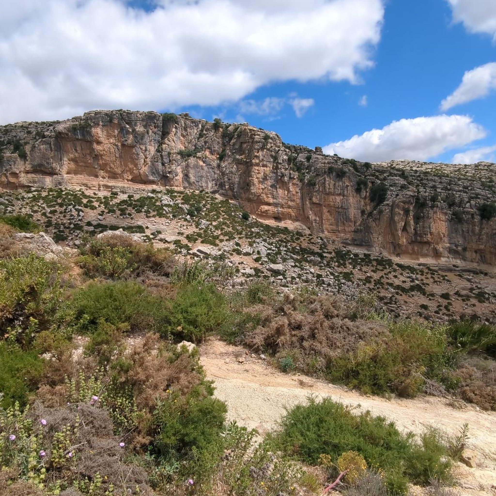
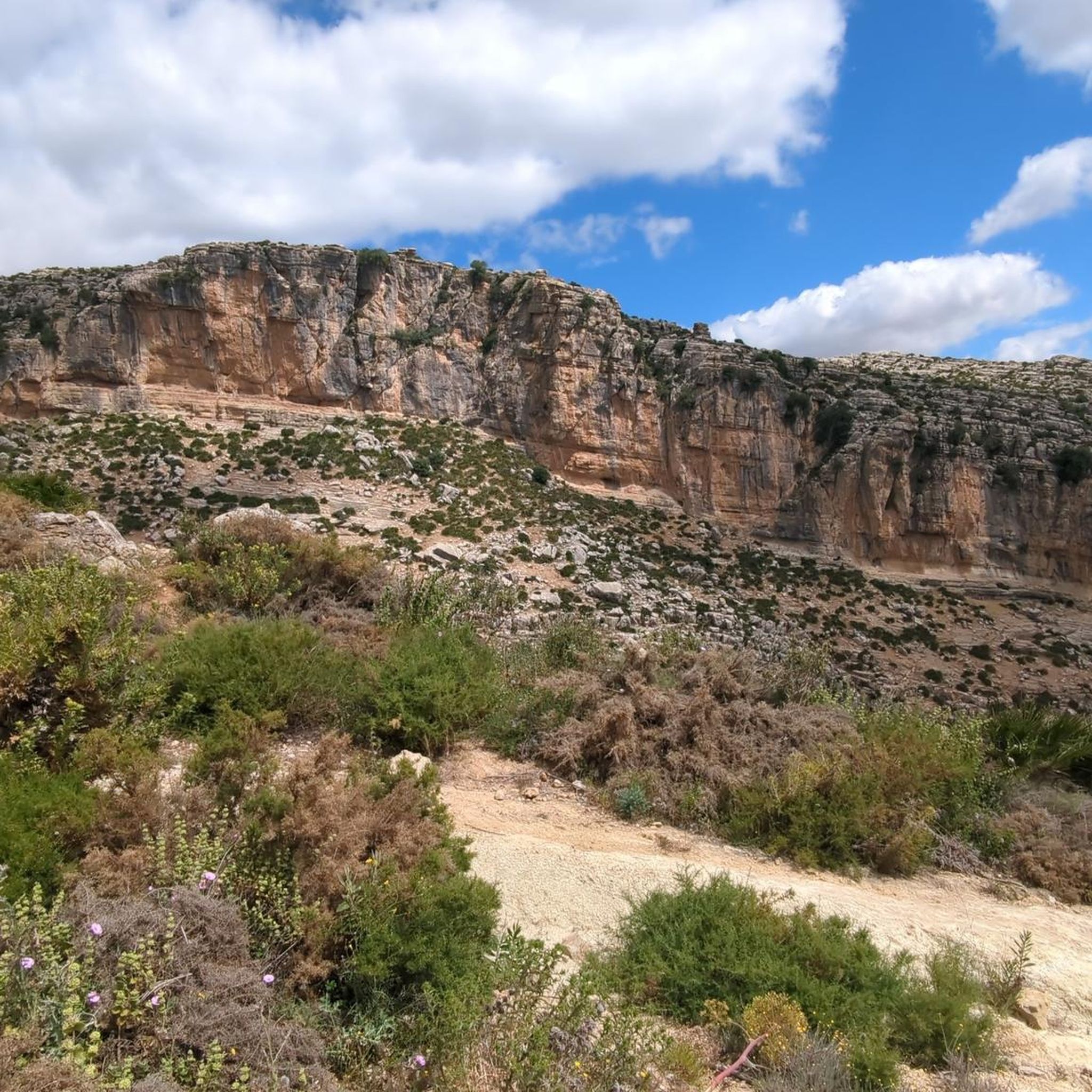
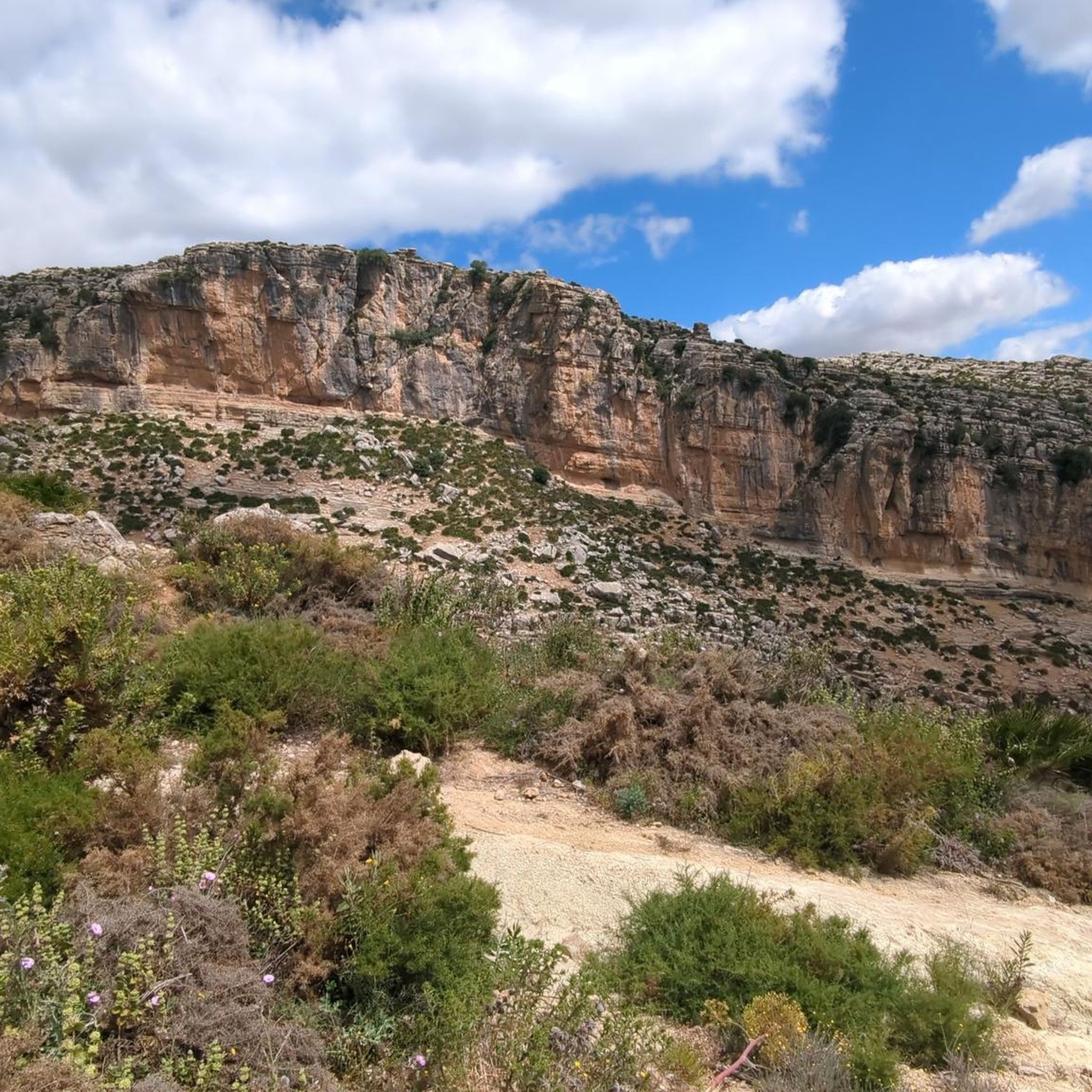
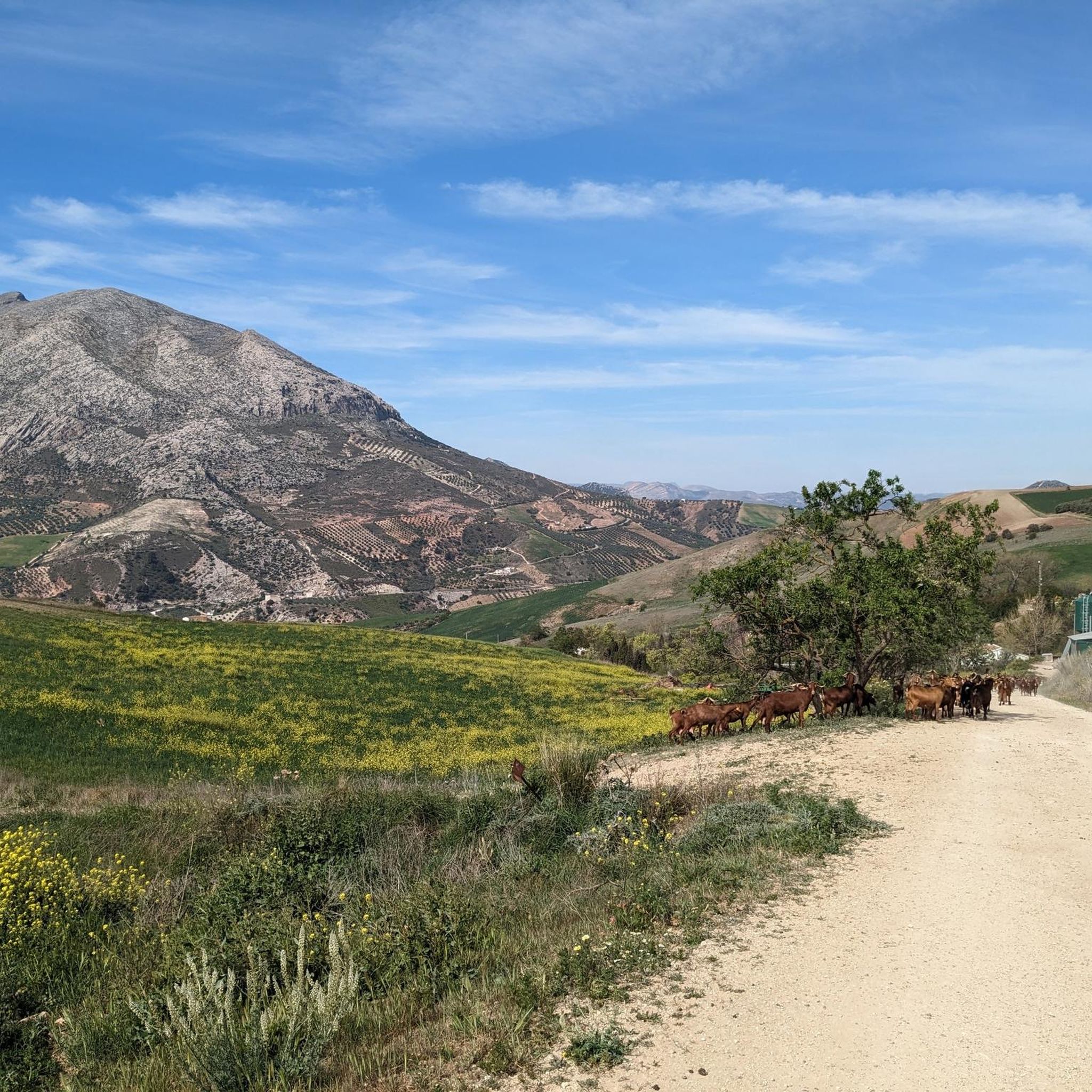
Mountain biking around Valle De Abdalajís features a landscape characterized by deep gorges, rocky paths, and the presence of significant water features like the Tajo de la Encantada Dam. The terrain often includes challenging ascents and descents, typical of mountainous regions in Andalusia. Riders can expect a mix of open views and sections winding through more enclosed, rugged environments. The area provides a diverse setting for various mountain biking experiences.
Best mountain bike trails around Valle De Abdalajís
- The most…
Last updated: July 4, 2026
5.0
(7)
122
riders
Moderate mountain bike ride. Good fitness required. Suitable for all skill levels.
5.0
(3)
17
riders
54.1km
03:57
1,050m
1,050m
Hard mountain bike ride. Very good fitness required. Suitable for all skill levels.

Sign up for free
5.0
(2)
12
riders
8.40km
01:03
410m
410m
Moderate mountain bike ride. Good fitness required. Suitable for all skill levels.
10
riders
42.9km
03:58
1,070m
1,070m
Hard mountain bike ride. Very good fitness required. Suitable for all skill levels.
5.0
(1)
19
riders
Moderate mountain bike ride. Good fitness required. Suitable for all skill levels.
Get access to more routes and recommendations from other explorers.
Sign up for free
Already have an account?
Our route recommendations are based on thousands of hikes, rides, and runs completed by other people on komoot.
Start today with a free account
Your next adventure awaits.
Login or Signup

Other adventures around Valle De Abdalajís

Tips from the Community

Well-lit tunnel as a shortcut to the start of the Caminito del Rey. A bit low for people 1.90m and taller, otherwise another highlight around the Caminito del Rey. The tunnel is approx. 500m long and you can see the end of the tunnel right from the beginning.
4
0

Don't miss the view down towards Caminito del Rey!
0
0
You can cycle right up to the viewpoint, it's worth it! ;)
1
0
The descent is very technical but really fun (S2)!
0
0

Arabian Stairs: The name is misleading. The stairs are not historical, but probably no more than 100 years old, and serve to avoid a massive detour over the later saddle. They were presumably built to facilitate other projects in the region behind the mountain. A local guide reported that the pine forests at the beginning of the tour used to be villages. You can see ruins and threshing floors. During the Franco dictatorship, the villages were destroyed, the inhabitants relocated, and the pines were planted to prevent their return (formerly grain fields): subsistence farmers were difficult to control, and workers were needed for industry.
2
0

It is the beginning of the gorge
0
0
It's amazing what has been created here
0
1
Frequently Asked Questions
What is the range of difficulty for mountain bike trails in Valle De Abdalajís?
Valle De Abdalajís offers a diverse range of mountain bike trails. You'll find 1 easy route, 9 moderate routes, and 5 difficult routes, catering to various skill levels from beginners to experienced riders.
Are there any beginner-friendly mountain bike trails in Valle De Abdalajís?
Yes, there is at least one easy mountain bike trail available. While specific details for an easy route aren't provided in the top list, the region does offer options suitable for those new to mountain biking or looking for a less strenuous ride.
What are some challenging mountain bike routes in Valle De Abdalajís?
For experienced riders seeking a challenge, consider the Tajo de la Encantada Dam – Caminito del Rey loop from El Chorro-Caminito del Rey. This difficult route spans 27.1 miles (43.6 km) with significant elevation changes, offering a demanding ride through the rugged landscape.
How long do mountain bike trails typically take in Valle De Abdalajís?
Trail durations vary significantly based on difficulty and length. For example, the moderate El Chorro Gorge – Arabic Steps loop from El Chorro-Caminito del Rey can be completed in about 1 hour 2 minutes, while the difficult Tajo de la Encantada Dam loop from El Chorro-Caminito del Rey typically takes around 4 hours.
Are there family-friendly mountain bike trails in Valle De Abdalajís?
While many routes feature challenging terrain, the presence of an easy route suggests there are options suitable for families or those looking for a more relaxed ride. It's advisable to check the specific trail descriptions for elevation and technical sections to ensure it matches your family's ability.
Can I find circular mountain bike routes in Valle De Abdalajís?
Yes, many of the mountain bike routes in Valle De Abdalajís are designed as loops, allowing you to start and finish at the same point. Examples include the Tajo de la Encantada Dam – Caminito del Rey loop from El Chorro-Caminito del Rey and the Tajo de la Encantada Dam – Caminito del Rey loop from Las Mellizas.
What is the best time of year for mountain biking in Valle De Abdalajís?
The best time for mountain biking in Valle De Abdalajís is typically during spring (March to May) and autumn (September to November). During these seasons, the weather is mild and pleasant, avoiding the intense heat of summer and the occasional cooler, wetter days of winter.
Is winter mountain biking possible in Valle De Abdalajís?
Winter mountain biking is generally possible in Valle De Abdalajís, as the region experiences mild winters compared to more northern areas. However, be prepared for cooler temperatures and potentially wetter conditions, especially after rainfall. Always check local weather forecasts before heading out.
What interesting landmarks can I see along the mountain bike trails?
The trails often pass by impressive natural and man-made landmarks. You can expect views of the Tajo de la Encantada Reservoir, the dramatic Desfiladero de los Gaitanes Gorge, and even sections near the famous Caminito del Rey. Don't miss viewpoints like the Three Reservoirs Viewpoint.
What do other mountain bikers enjoy most about mountain biking in Valle De Abdalajís?
The area is highly rated by the komoot community, with an average score of 4.8 stars from more than 30 reviews. Reviewers often praise the dramatic gorges, reservoir views, and the challenging yet rewarding rocky, technical paths that define the region's mountain biking experience.
Is there parking available for mountain bikers in Valle De Abdalajís?
Parking is generally available near the main trailheads and villages such as El Chorro-Caminito del Rey and Las Mellizas, which serve as common starting points for many routes. It's advisable to check specific starting points for designated parking areas.
How can I reach the mountain bike trails in Valle De Abdalajís using public transport?
Public transport options to the more remote trailheads in Valle De Abdalajís can be limited. However, the village of El Chorro, a popular starting point for many routes, has a train station with connections to major cities like Málaga and Seville. From there, you might need to cycle or arrange local transport to specific trail access points.
Most popular attractions around Valle De Abdalajís

Get inspired with the komoot mobile app


Explore more
Browse the best MTB trails in other regions.
