The best gravel rides around Gargantilla Del Lozoya Y Pinilla De Buitrago
3.5
(4)
114
riders
19
rides
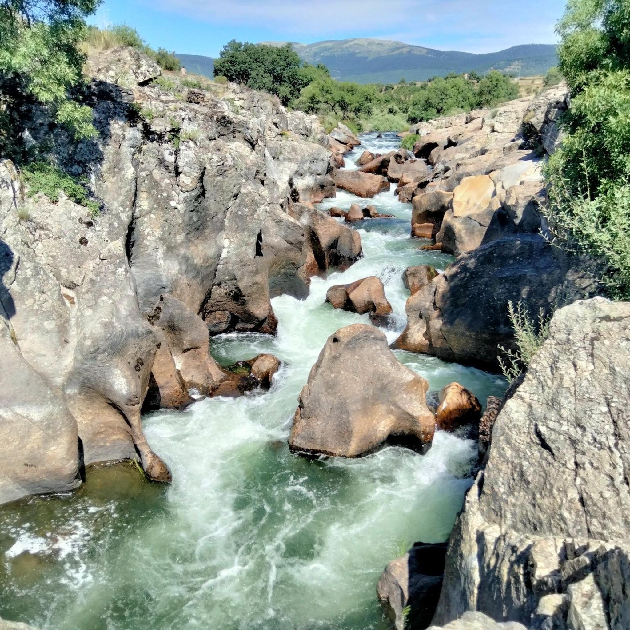
Gravel biking around Gargantilla Del Lozoya Y Pinilla De Buitrago offers routes through the Lozoya River valley and surrounding hills. The terrain includes varied surfaces suitable for gravel bikes, often featuring views of reservoirs and mountain passes. This region provides a mix of forested sections and open landscapes, characteristic of the Sierra de Guadarrama foothills.
Best gravel bike trails around Gargantilla Del Lozoya Y Pinilla De Buitrago
- The most popular gravel bike trail is Plaza de España, Rascafría – La…
Last updated: July 8, 2026
35
riders
61.0km
05:00
960m
960m
Hard gravel ride. Very good fitness required. Mostly paved surfaces. Suitable for all skill levels.
3.0
(1)
18
riders
46.2km
02:53
280m
280m
Moderate gravel ride. Good fitness required. Mostly paved surfaces. Suitable for all skill levels.

Sign up for free
7
riders
66.2km
06:14
1,660m
1,650m
Hard gravel ride. Very good fitness required. Mostly paved surfaces. Suitable for all skill levels.
2.0
(1)
12
riders
34.8km
02:47
470m
470m
Hard gravel ride. Very good fitness required. Mostly paved surfaces. Suitable for all skill levels.
7
riders
43.6km
03:37
570m
570m
Hard gravel ride. Very good fitness required. Mostly paved surfaces. Suitable for all skill levels.
Get access to more routes and recommendations from other explorers.
Sign up for free
Already have an account?
Our route recommendations are based on thousands of hikes, rides, and runs completed by other people on komoot.
Start today with a free account
Your next adventure awaits.
Login or Signup
Popular around Gargantilla Del Lozoya Y Pinilla De Buitrago
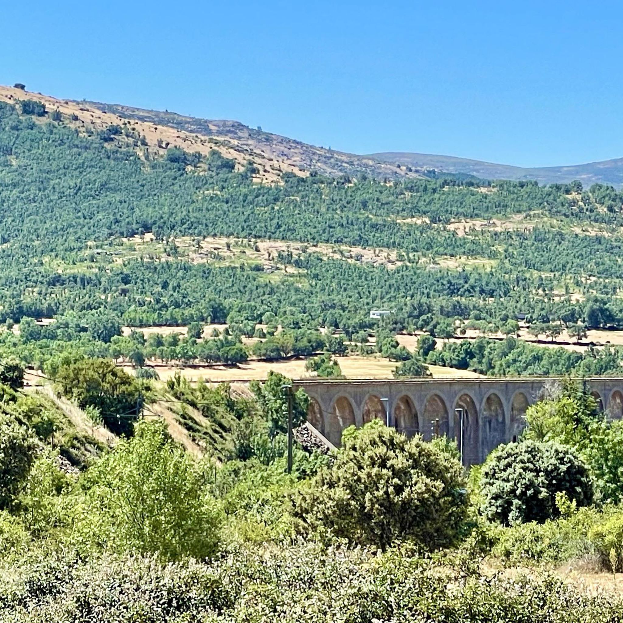
Road Cycling Routes around Gargantilla Del Lozoya Y Pinilla De Buitrago
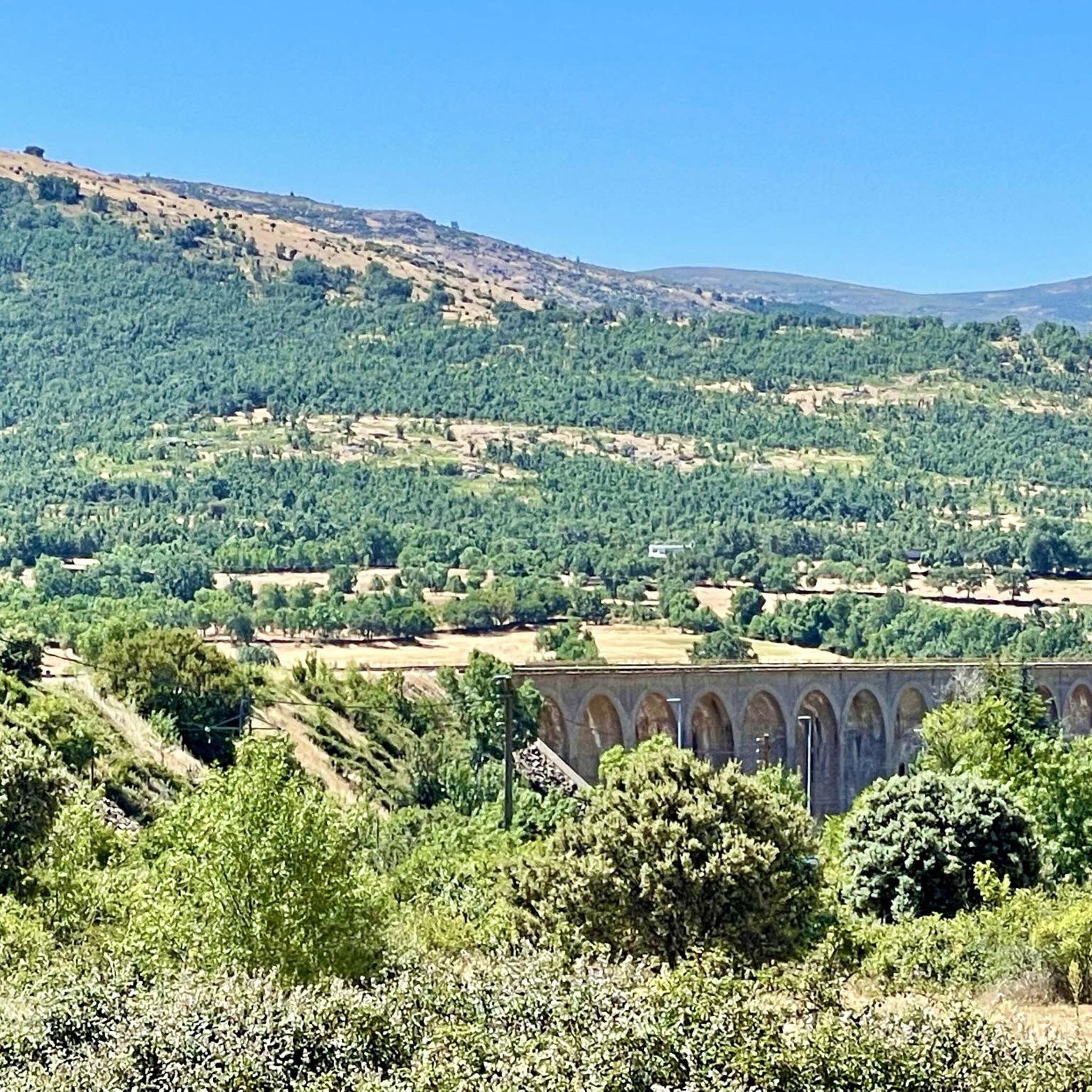
Cycling around Gargantilla Del Lozoya Y Pinilla De Buitrago
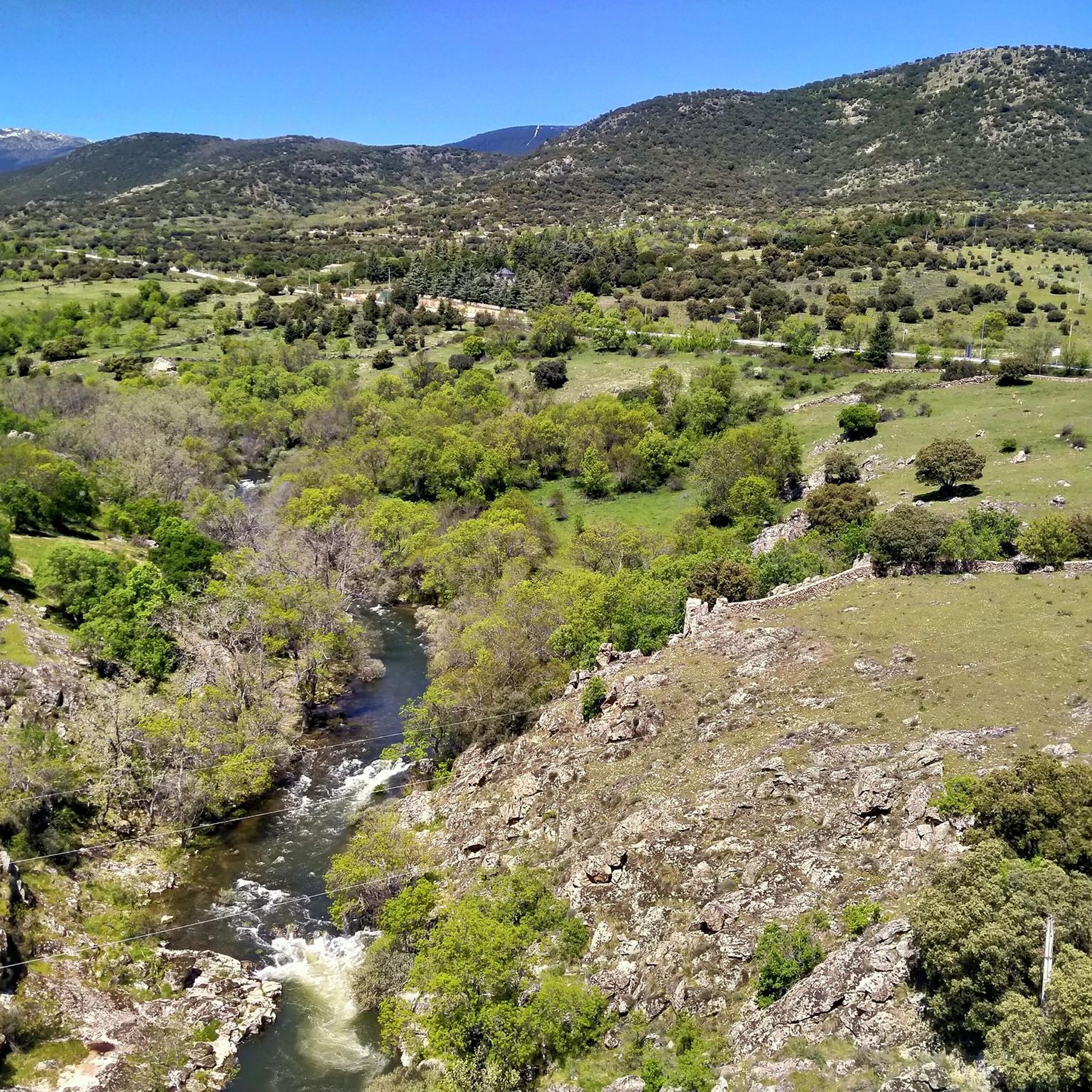
Hiking around Gargantilla Del Lozoya Y Pinilla De Buitrago
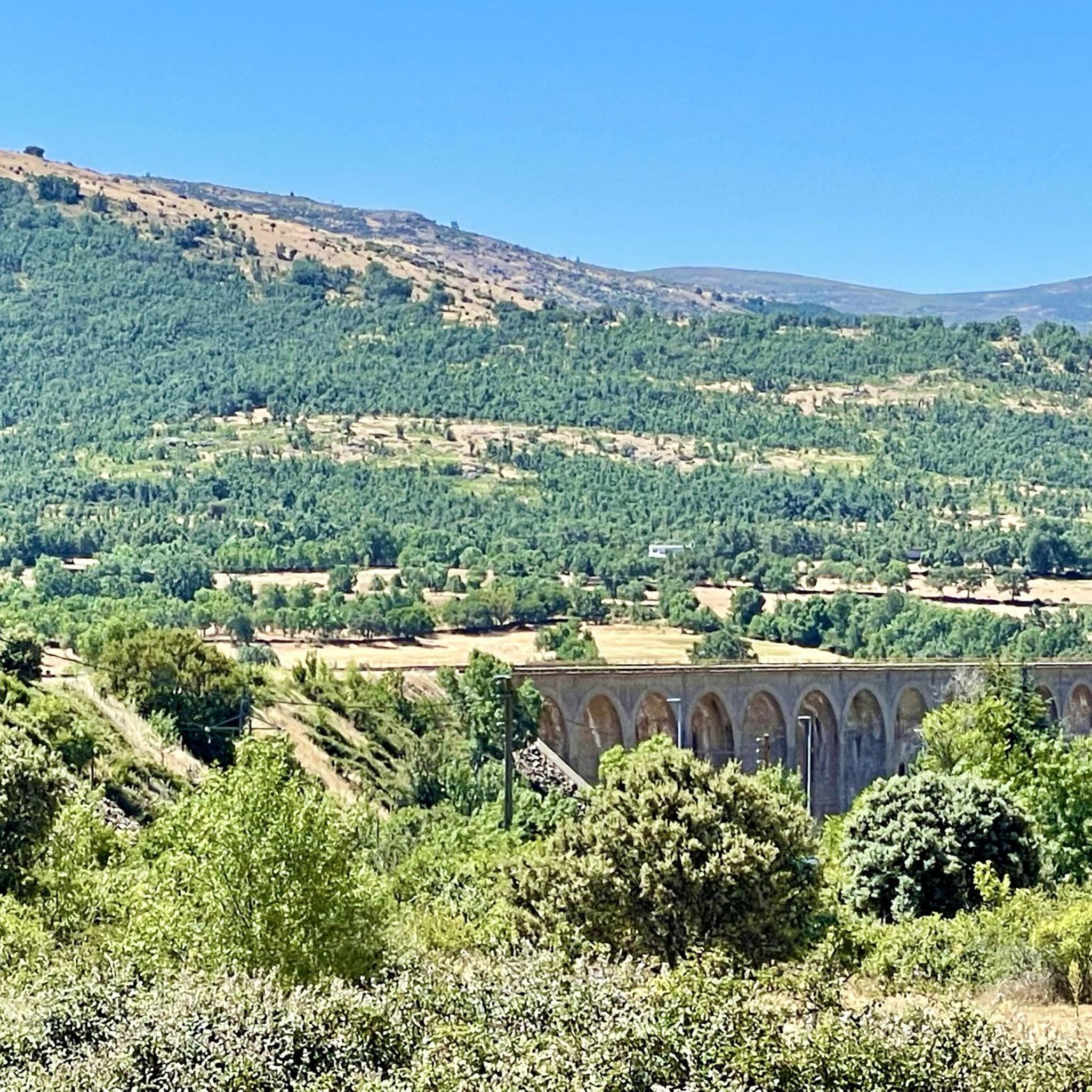
MTB Trails around Gargantilla Del Lozoya Y Pinilla De Buitrago
Running Trails around Gargantilla Del Lozoya Y Pinilla De Buitrago
Tips from the Community

This section of the Cañada Real Soriana Occidental retains its pastoral character. Grass grows in the surroundings and cows graze at will; the views of the Sierra de Guadarrama complete a beautiful bucolic scene.
0
0

It is located in the Sierra de Guadarrama mountain range, between the municipalities of Miraflores de la Sierra and Rascafría, in the Community of Madrid. From Miraflores de la Sierra (1200m), the route ascends approximately 600m over 10km (average gradient 4–6%), and after reaching the summit, it descends 13km to Rascafría (1150m) with a gradient of 4.5–7%.
6
0

A comfortable trail with incredible views. As an added bonus, you can descend to the Mojonavalle waterfall. A truly beautiful cascade.
1
0
The Castle and Walls of Buitrago del Lozoya, one of the most important medieval sites in the Community of Madrid: The town has pre-Roman roots and was mentioned by Livy as a Celtiberian fortress (Litabrum). Muslim Fortification: Between the 8th and 11th centuries, the Muslims built the wall to protect the territory. Reconquest: Alfonso VI conquered it in 1085, and it passed into Christian hands. Current Castle: Built in the 15th century by the Mendoza family, during the reign of John II of Castile. Historical Uses: Noble residence, defensive stronghold, and setting for events such as the imprisonment of Juana la Beltraneja.
3
0

A beautiful bridge leads to the Finca de los Batanes, where the hostel is located. Opposite is the El Paular Monastery. From this bridge, there's a path that leads to the village of Rascafría, where I could see people walking and exercising.
0
0

nice corner to enjoy the views
0
0

Segovia hillside, near Navafría, with beautiful landscapes.
0
0

Beautiful walled town located in the mountains north of Madrid.
0
0
Frequently Asked Questions
How many gravel bike trails are available in Gargantilla Del Lozoya Y Pinilla De Buitrago?
There are over 19 gravel bike trails documented in the Gargantilla Del Lozoya Y Pinilla De Buitrago region, offering a variety of experiences for different skill levels.
What is the general difficulty level of gravel biking routes in this area?
The region offers a mix of difficulties. While there is 1 easy route and 4 moderate routes, the majority, 14 out of 19, are classified as difficult, featuring significant elevation changes and challenging terrain. For a challenging ride, consider the Plaza de España, Rascafría – La Morcuera Pass loop from Estación Gargantilla-Lozoya.
Are there any beginner-friendly gravel bike trails in Gargantilla Del Lozoya Y Pinilla De Buitrago?
Yes, while many routes are challenging, there are options suitable for beginners. These typically feature less elevation gain and smoother surfaces. You can find one easy route and four moderate routes that might be more suitable for those new to gravel biking.
What kind of scenic viewpoints can I expect along the gravel bike trails?
The trails often provide stunning views of the Lozoya River valley, surrounding hills, and reservoirs. You can also find routes that offer glimpses of historic towns like Buitrago del Lozoya. Highlights in the area include the Pinilla Reservoir Viewpoint and various mountain passes like Canencia Pass.
Are there any circular gravel bike routes or loops available?
Yes, many of the gravel bike routes in the region are designed as loops, allowing you to start and finish in the same location. An example is the Plaza de España, Rascafría – Las Presillas del Lozoya loop from El Tomillar, which follows the Lozoya River.
What are some notable natural attractions or landmarks to see while gravel biking?
The region is rich in natural beauty and historical points. Along your rides, you might encounter reservoirs such as El Villar Reservoir and the Puentes Viejas Reservoir. Mountain passes like Puerto de Linera and Navafría Pass also offer impressive landscapes.
What do other gravel bikers say about the trails in Gargantilla Del Lozoya Y Pinilla De Buitrago?
The gravel biking routes in Gargantilla Del Lozoya Y Pinilla De Buitrago are highly rated by the komoot community, with an average score of 3.3 stars from over 4 reviews. More than 100 gravel bikers have explored the varied terrain, often praising the scenic views of river valleys, reservoirs, and mountain passes.
Are there any routes that pass through or near historic towns?
Yes, some routes offer views of historic towns. For instance, the Taboada Viaduct – View of Buitrago del Lozoya loop from Gargantilla del Lozoya y Pinilla de Buitrago leads through varied terrain with views of the historic town of Buitrago del Lozoya.
What is the typical length of gravel bike routes in this area?
Route lengths vary significantly. You can find shorter loops, like the 22.0-mile (35.5 km) route near Buitrago del Lozoya, to longer, more challenging rides such as the 39.1-mile (62.9 km) loop towards La Morcuera Pass. The longest route listed is the Puerto de Linera – Navafría Pass loop from Lozoya, at 66.6 km.
Are there any routes that offer views of reservoirs?
Absolutely. The region is known for its reservoirs. The Views of the Lozoya River – El Atazar Reservoir loop from Lozoyuela is a great option for reservoir views. You'll also find highlights like the Pinilla Reservoir Viewpoint and Puentes Viejas Reservoir.
What kind of terrain can I expect on these gravel bike trails?
The terrain is varied, characteristic of the Sierra de Guadarrama foothills. You'll encounter a mix of forested sections and open landscapes, often featuring gravel paths, dirt roads, and some paved sections, all suitable for gravel bikes. Expect both flat river valley sections and significant climbs towards mountain passes.
Most popular routes around Gargantilla Del Lozoya Y Pinilla De Buitrago
Most popular attractions around Gargantilla Del Lozoya Y Pinilla De Buitrago

Get inspired with the komoot mobile app


Explore more
Browse the best Gravel rides in other regions.
