The best running trails around Gargantilla Del Lozoya Y Pinilla De Buitrago
4.8
(10)
809
runners
41
runs
Jogging around Gargantilla Del Lozoya Y Pinilla De Buitrago offers access to the diverse landscapes of the Sierra Norte de Madrid and the Lozoya Valley. The region features riparian paths along the Lozoya River and crystal-clear streams, alongside varied terrains within diverse forests of ash, oak, and holm oak. Situated on the southern slopes of the Sierra de Guadarrama, the area includes both open meadows and more challenging mountain trails. Joggers can also find routes around the Riosequillo reservoir and…
Last updated: July 11, 2026
11
runners
13.9km
01:40
180m
180m
Moderate run. Good fitness required. Mostly paved surfaces. Suitable for all skill levels.
8
runners
11.4km
01:15
150m
150m
Moderate run. Good fitness required. Mostly paved surfaces. Suitable for all skill levels.

Sign up for free
5
runners
13.3km
01:34
270m
270m
Moderate run. Good fitness required. Mostly paved surfaces. Suitable for all skill levels.
4
runners
8.39km
00:58
120m
120m
Moderate run. Good fitness required. Mostly paved surfaces. Suitable for all skill levels.
7
runners
Moderate run. Good fitness required. Mostly paved surfaces. Suitable for all skill levels.
Get access to more routes and recommendations from other explorers.
Sign up for free
Already have an account?
Our route recommendations are based on thousands of hikes, rides, and runs completed by other people on komoot.
Start today with a free account
Your next adventure awaits.
Login or Signup
Popular around Gargantilla Del Lozoya Y Pinilla De Buitrago
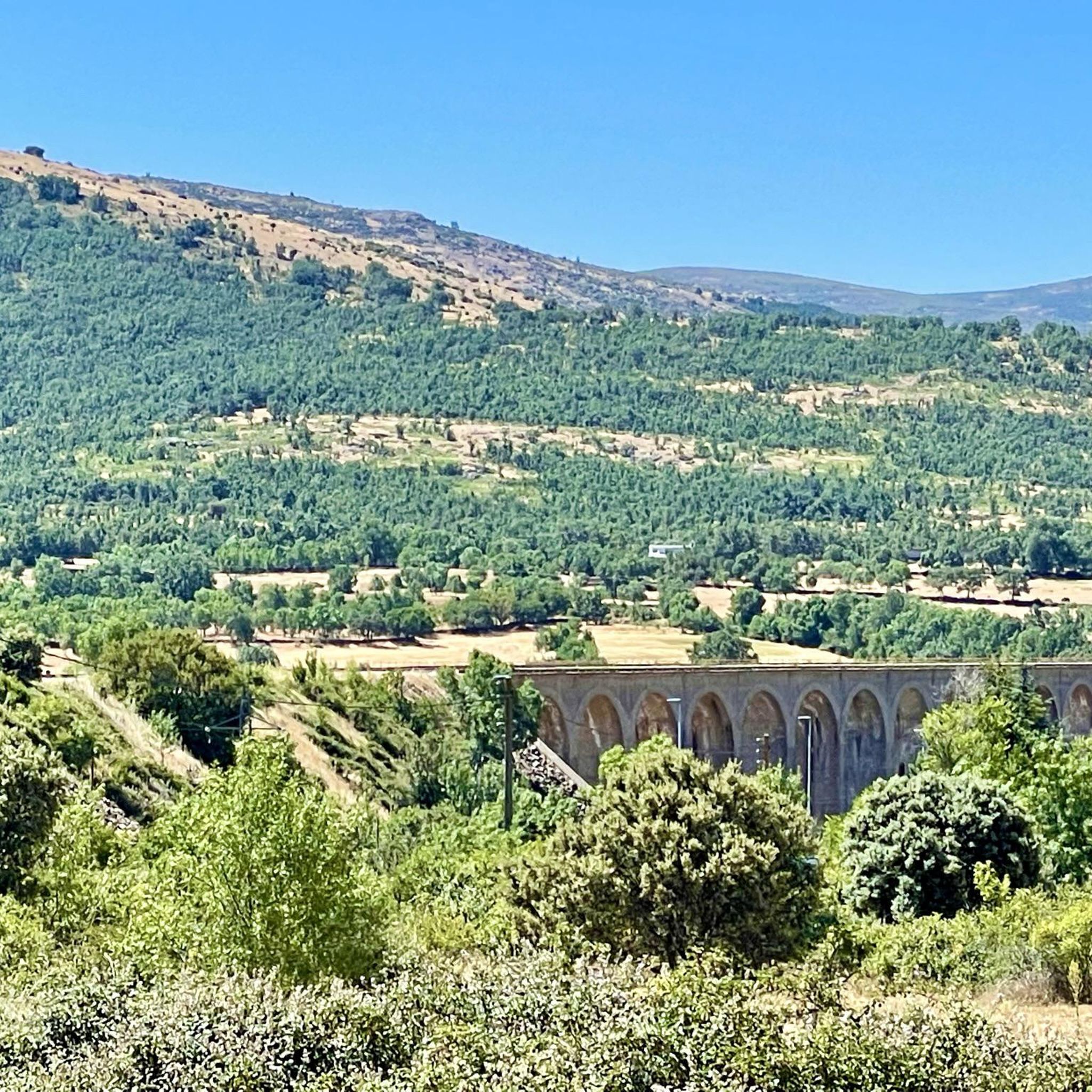
Road Cycling Routes around Gargantilla Del Lozoya Y Pinilla De Buitrago
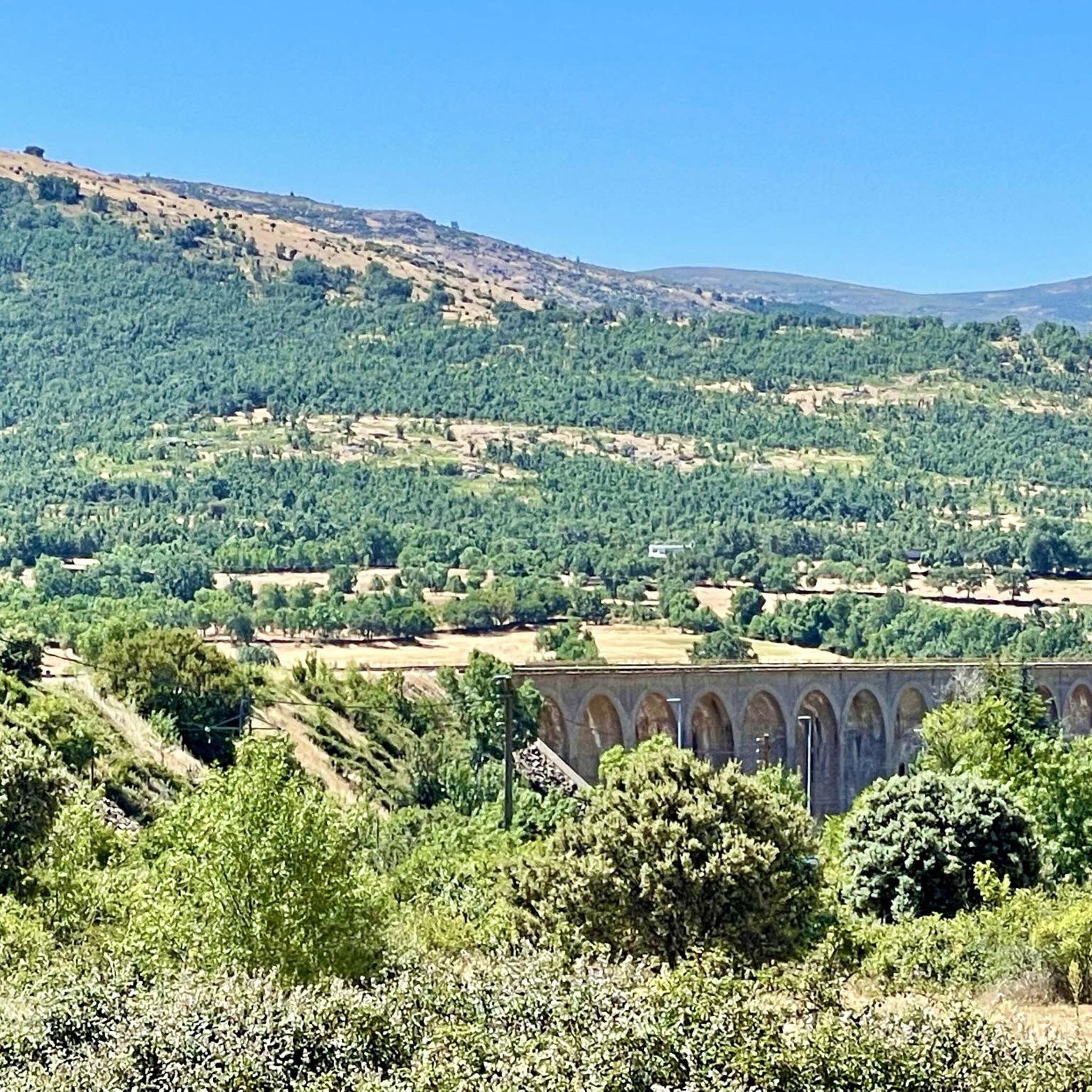
Cycling around Gargantilla Del Lozoya Y Pinilla De Buitrago
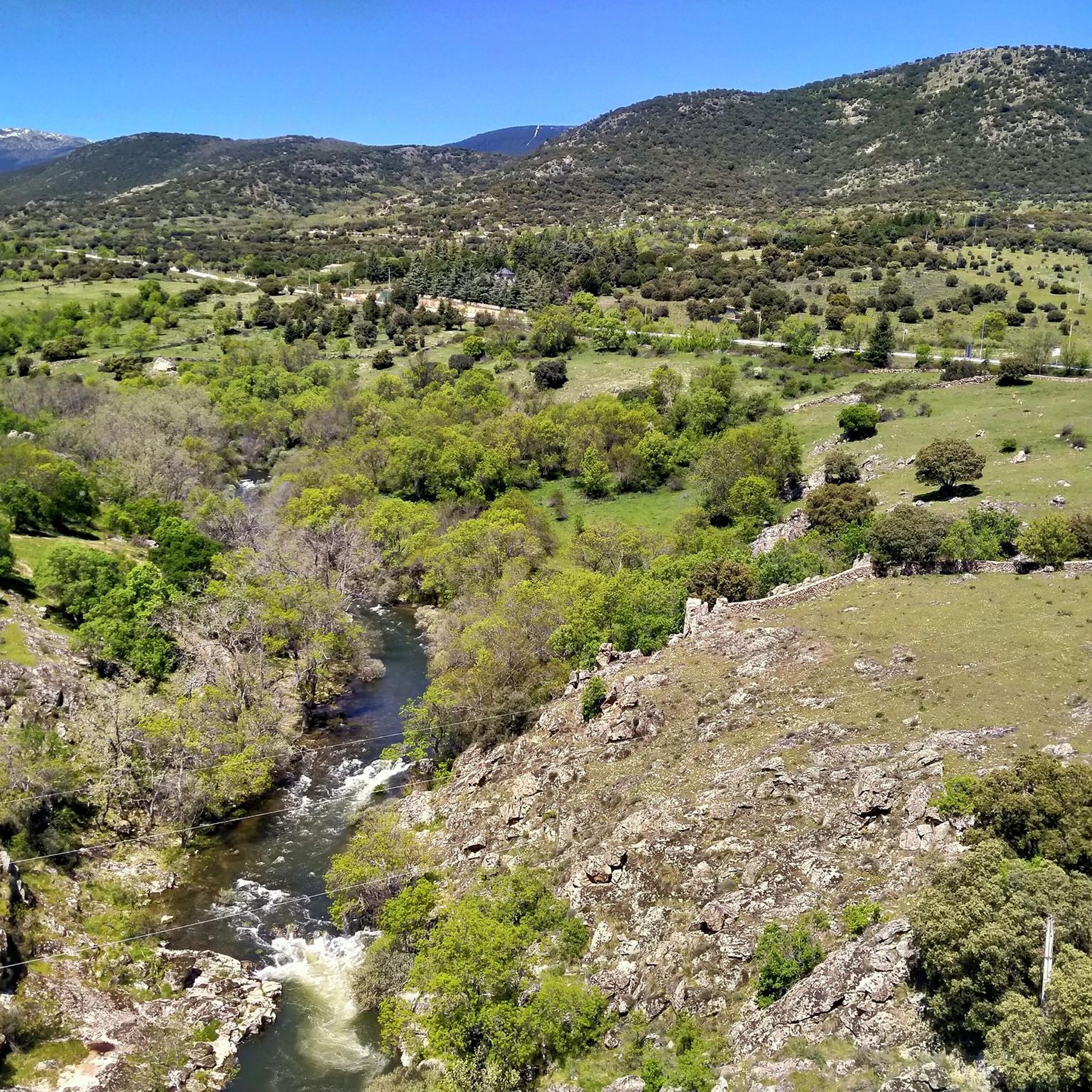
Hiking around Gargantilla Del Lozoya Y Pinilla De Buitrago
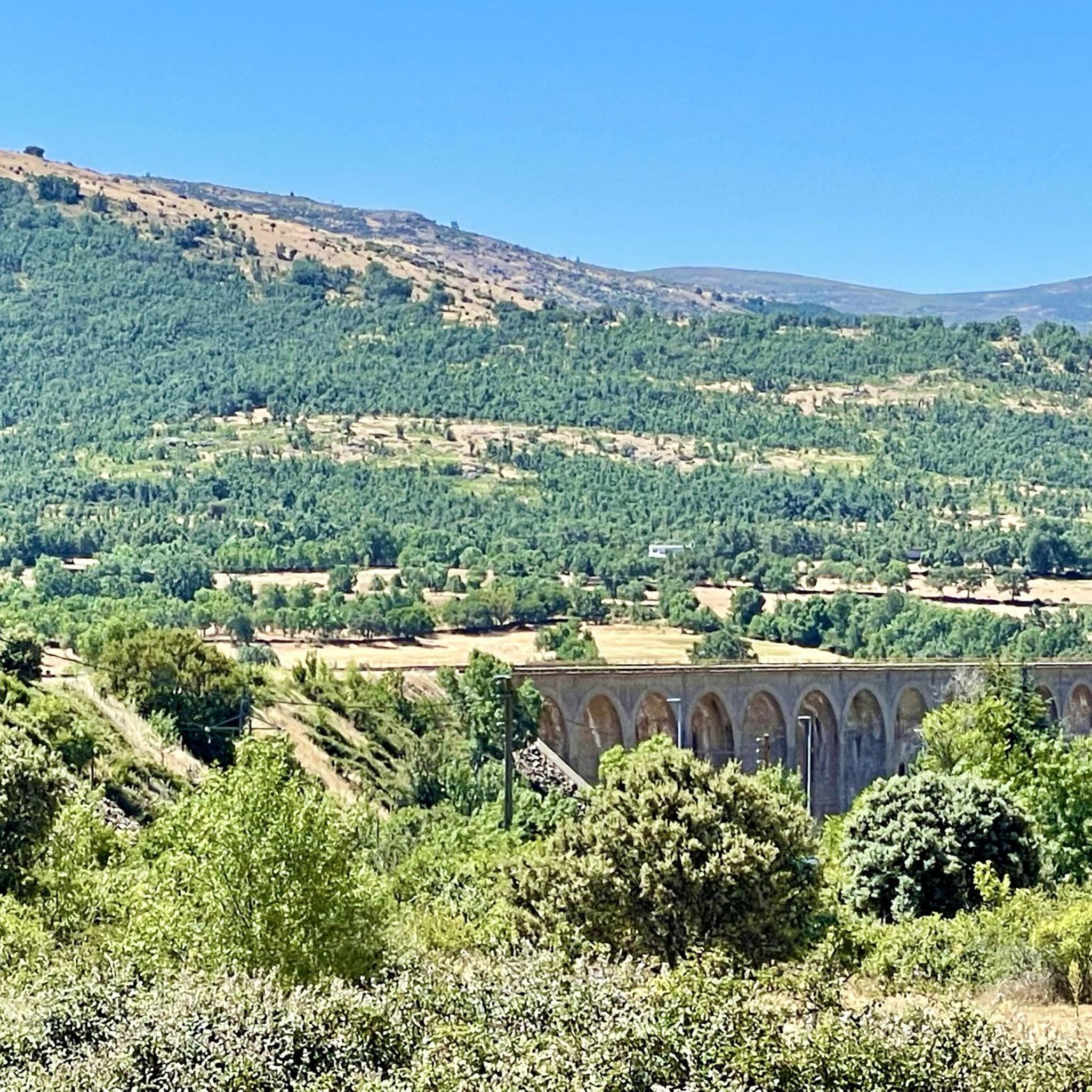
MTB Trails around Gargantilla Del Lozoya Y Pinilla De Buitrago

Gravel biking around Gargantilla Del Lozoya Y Pinilla De Buitrago
Tips from the Community

Beautiful viewpoint of the Pinilla reservoir
0
0
A beautiful stone bridge. The climb afterward is quite rocky, and you'll have to walk for a bit.
0
0
Viewpoint with wonderful views
0
0

nice easy route, to repeat!
0
0
The hill that separates Canencia from Garganta de los Montes
0
0

beautiful walking area with beautiful views
0
0

Wonderful views and surroundings
0
0

It is a very old bridge, Romanesque, over the Arroyo de Canencia, very close to the Town. The place is a recreation area with tables and seats to rest and talk.
1
0
Frequently Asked Questions
What kind of terrain and difficulty levels can I expect on the running routes in Gargantilla Del Lozoya y Pinilla De Buitrago?
The region offers a diverse range of terrains, from tranquil riparian paths along the Lozoya River to more challenging mountain trails in the Sierra de Guadarrama foothills. You'll find routes through varied forests of ash, oak, and holm oak, as well as open meadows. Komoot lists options for easy, moderate, and difficult running, catering to various ability levels. There are over 30 difficult routes for experienced runners, alongside many moderate options and at least one easy trail.
Are there any easy running routes suitable for beginners or a relaxed jog?
Yes, there are routes suitable for beginners. While many trails are moderate or difficult, you can find easier options that allow for a relaxed jog through the beautiful landscapes. For example, the Running loop from Camping Monte Holiday is a moderate 8.4 km route with manageable elevation, offering a pleasant experience.
What natural features or landmarks can I see while running in the area?
The running routes in Gargantilla Del Lozoya y Pinilla De Buitrago are rich in natural beauty. You can expect to see the picturesque Lozoya River, diverse forests, and the foothills of the Sierra de Guadarrama. Notable natural attractions include the Mojonavalle Forest, the stunning El Villar Reservoir and Gorge, and various mountain passes like Puerto de Linera. The Viewpoint of the Pinilla Reservoir loop from Canencia offers scenic vistas of the reservoir.
Are there any circular running routes available?
Absolutely. Many of the popular running routes in the area are circular, allowing you to start and end at the same point. Examples include the popular Gariñas Forest loop from Buitrago del Lozoya, the Palacio del Bosque loop from Buitrago del Lozoya, and the El Colladillo loop from Canencia.
What do other runners enjoy most about the trails in Gargantilla Del Lozoya y Pinilla De Buitrago?
The running routes in Gargantilla Del Lozoya y Pinilla De Buitrago are highly rated by the komoot community, with an average score of 4.7 stars from over 10 reviews. More than 900 runners have used komoot to explore the varied terrain, often praising the incomparable natural environment, the beauty of the Lozoya Valley, and the diverse landscapes that make for an exceptional outdoor experience.
Can I find running routes that offer panoramic views?
Yes, being situated on the southern slopes of the Sierra de Guadarrama, the region offers access to mountainous terrain with routes that provide breathtaking panoramic views. The Viewpoint of the Pinilla Reservoir loop from Canencia is a great option for scenic vistas, and higher elevation routes often lead to spectacular outlooks over the Lozoya Valley.
Are there any specific routes that pass by reservoirs or bodies of water?
Yes, the region is known for its beautiful water features. The Lozoya River and numerous crystal-clear streams provide tranquil riparian landscapes for running. The Viewpoint of the Pinilla Reservoir loop from Canencia directly features views of the Pinilla Reservoir, and the Riosequillo reservoir is also a prominent feature in the area, offering additional scenic routes.
What is the best time of year to go running in Gargantilla Del Lozoya y Pinilla De Buitrago?
The 'incomparable natural environment' of the Lozoya Valley makes it suitable for outdoor activities throughout much of the year. Spring and autumn generally offer pleasant temperatures and vibrant scenery, ideal for running. Summer mornings or evenings can also be enjoyable, especially on shaded forest trails. Winter running is possible, but it's advisable to check local weather conditions, especially for higher mountain routes in the Sierra de Guadarrama.
How many running routes are available in the Gargantilla Del Lozoya y Pinilla De Buitrago area?
There are nearly 50 running routes available in the Gargantilla Del Lozoya y Pinilla De Buitrago area, as listed on Komoot. This includes a wide variety of trails ranging from easy to difficult, ensuring options for every runner.
Are there any routes that explore forested areas?
Yes, the region is characterized by diverse forests, making it excellent for shaded runs. The Gariñas Forest loop from Buitrago del Lozoya is a prime example, taking you directly through the beautiful Gariñas Forest. You'll find large ash trees interspersed with oaks and holm oaks, providing appealing scenery and natural cover.
Can I find routes that are suitable for a longer distance run?
Certainly. Many routes in the area offer substantial distances for longer runs. For instance, the Gariñas Forest loop from Buitrago del Lozoya is 13.9 km (8.6 miles) long, and the El Colladillo loop from Canencia covers 13.3 km (8.3 miles), providing excellent options for those looking to cover more ground.
Most popular routes around Gargantilla Del Lozoya Y Pinilla De Buitrago
Most popular attractions around Gargantilla Del Lozoya Y Pinilla De Buitrago

Get inspired with the komoot mobile app


Explore more
Browse the best Running Trails & Routes in other regions.
