The best gravel rides around Galindo Y Perahuy
29
riders
8
rides
Gravel biking around Galindo Y Perahuy features routes that traverse the varied landscape of the Salamanca province. The terrain often includes paths alongside the Tormes River, passing through agricultural areas and offering views of historic towns like Alba de Tormes and Salamanca. Elevations are generally moderate, with some routes incorporating rolling hills and gentle climbs. The region provides a mix of open country and paths that connect smaller villages.
Best gravel bike trails around Galindo Y Perahuy
- The most popular gravel bike trail is Views over Alba de Tormes – Southeast Route loop from Tejares - Chamberí, a 34.9 miles (56.1 km) trail that takes 5 hours to complete. This difficult route features significant elevation gain and expansive views over the surrounding countryside.
- Another top favourite among local gravel bikers is Roman Bridge of Salamanca – View of Salamanca Cathedral loop from Villamayor, a moderate 25.8 miles (41.5 km) path. This route follows the Tormes River and offers scenic perspectives of Salamanca's historic architecture.
- Local gravel bikers also love the Cañada de Miranda – Southeast Route loop from Río Tormes, a 28.4 miles (45.7 km) trail leading through river valleys and open fields, often completed in about 3 hours 50 minutes.
- Gravel biking around Galindo Y Perahuy is defined by river paths, historic viewpoints, and rolling agricultural lands. The network offers options for easy, moderate, and difficult ability levels.
- The routes in Galindo Y Perahuy are highly rated by the komoot community with an average score of 1.0 stars from 1 review. More than 50 gravel bikers have used komoot to explore Galindo Y Perahuy's varied terrain.
Last updated: July 3, 2026
9
riders
Moderate gravel ride. Good fitness required. Mostly paved surfaces. Suitable for all skill levels.
4
riders
45.7km
03:13
400m
400m
Moderate gravel ride. Good fitness required. Mostly paved surfaces. Suitable for all skill levels.

Sign up for free
5
riders
Moderate gravel ride. Good fitness required. Mostly paved surfaces. Suitable for all skill levels.
3
riders
Moderate gravel ride. Good fitness required. Mostly paved surfaces. Suitable for all skill levels.
3
riders
Moderate gravel ride. Good fitness required. Mostly paved surfaces. Suitable for all skill levels.
Get access to more routes and recommendations from other explorers.
Sign up for free
Already have an account?
Our route recommendations are based on thousands of hikes, rides, and runs completed by other people on komoot.
Start today with a free account
Your next adventure awaits.
Login or Signup
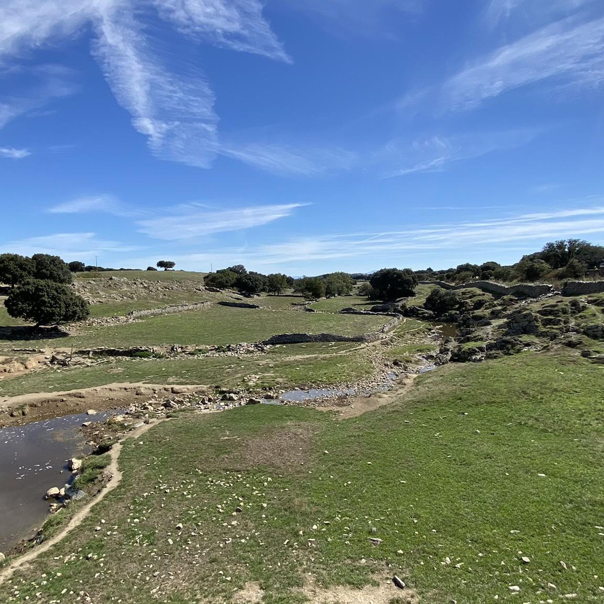
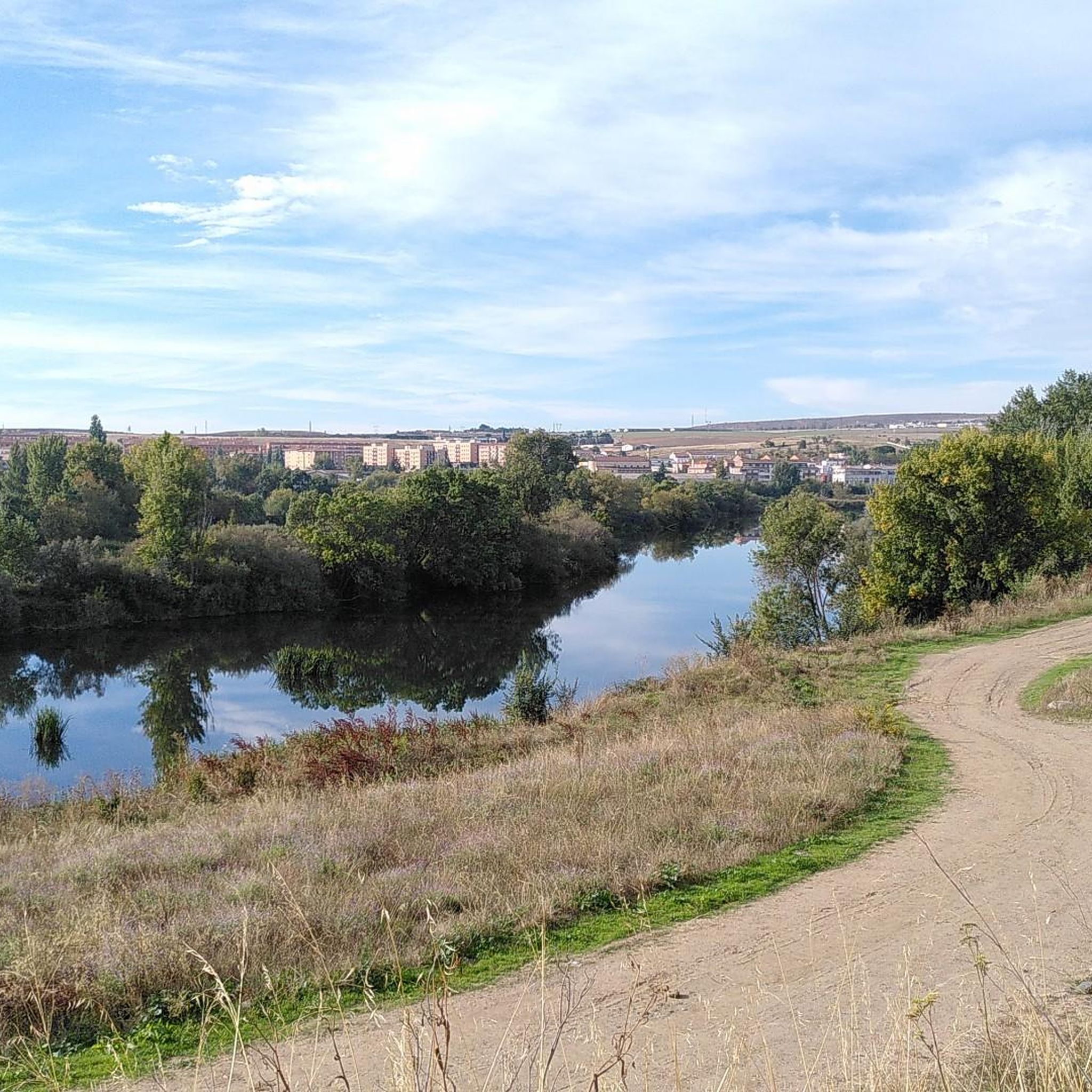

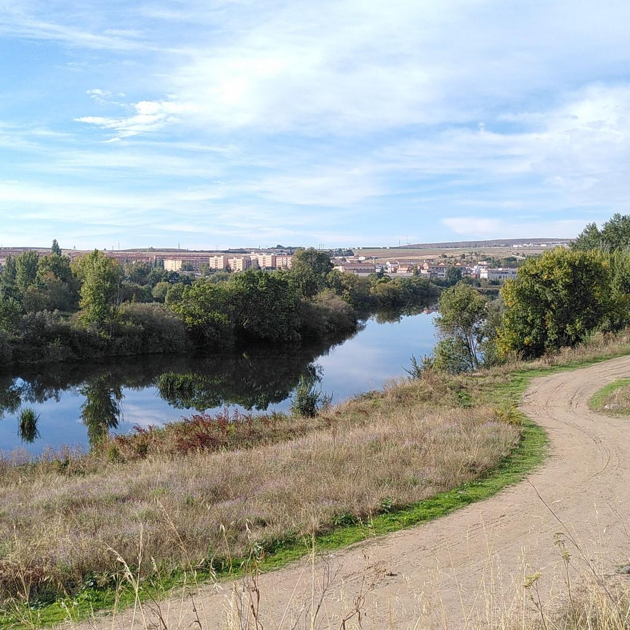
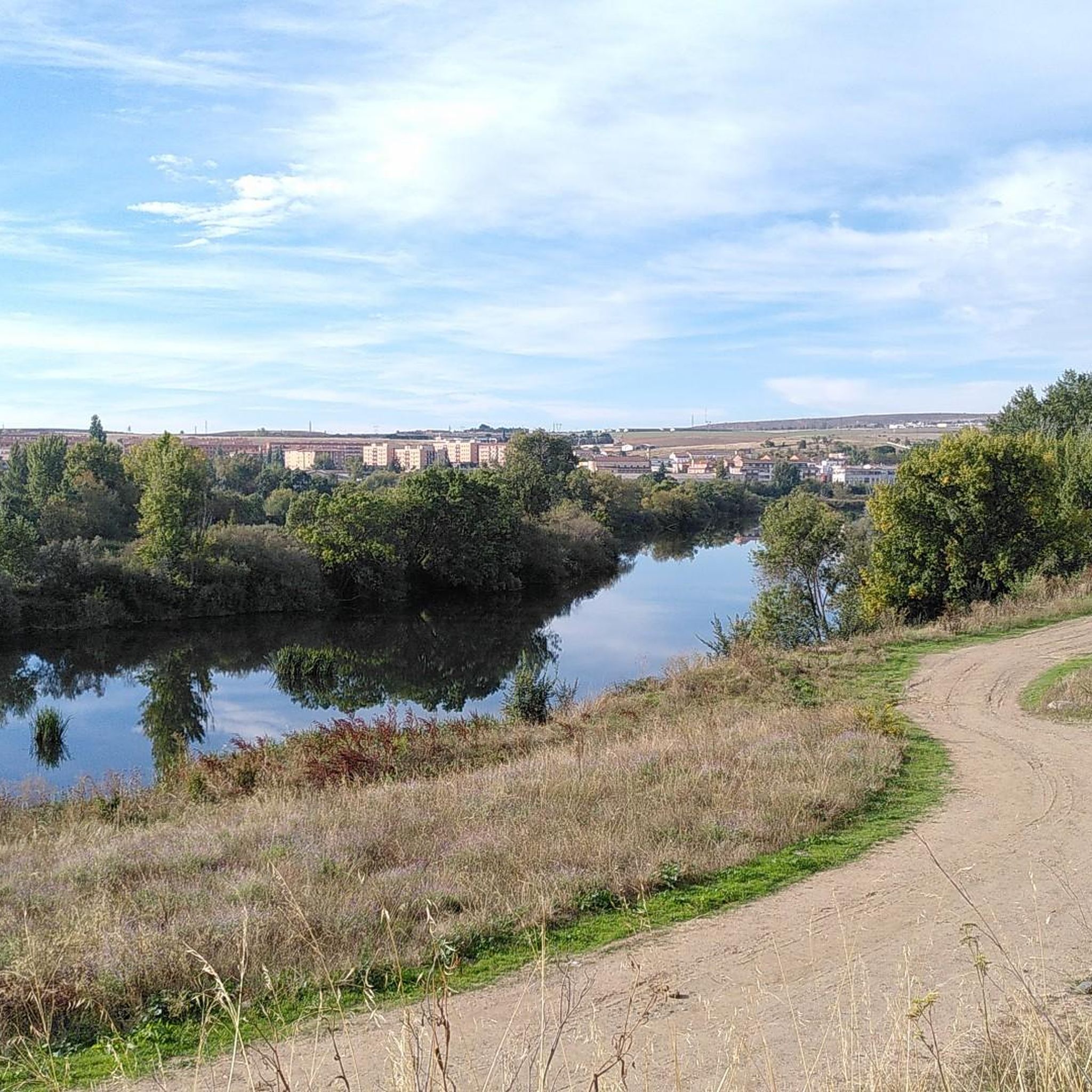
Tips from the Community

Beautiful bridge and view
13
0

The history of Salamanca's Roman bridge is intertwined with that of the city itself, and it has been one of its defining features for centuries. Located in a position that facilitated human settlement and the development of economic activity, its proximity to the three hills and the Tormes River made it a strategic location. It is a solid bridge, resistant to the passage of time. For centuries it served as the main access point to the city, until a new bridge was completed over the Tormes River in 1913, allowing the passage of vehicles.
10
0
Dirt/gravel path, multi-use (hiking, mountain biking, trail running). Easy to follow, suitable for e-bikes, not a busy route.
2
0
The Ledesma Bridge over the Tormes River, in the province of Salamanca, is a historic structure that forms part of the rich heritage of this medieval town. Old Ledesma Bridge Location: It crosses the Tormes River at the entrance to the town of Ledesma. Construction: Although it is believed to have existed in Roman times, the current bridge was built in the 15th century, during the reign of Beltrán de la Cueva. New Bridge Construction: Inaugurated on July 24, 1954, after decades of planning interrupted by the Spanish Civil War. Material: Cyclopean concrete.
9
0

great view back over Salamanca
3
0
The Tormes is a river, a tributary of the Duero on its left bank, which runs through the provinces of Ávila, Salamanca and Zamora, in the autonomous community of Castilla y León,
3
0
The Roman Bridge of Salamanca, also known as Puente Mayor del Tormes, is an ancient bridge that crosses the Tormes River in the city of Salamanca, Spain. This bridge has a rich history and is a testament to Roman and medieval architecture.
9
0
The Roman Bridge, or Puente Romano. This magnificent granite structure with 26 arches crosses the Tormes River. The 15 arches on the city side are of Roman origin, while the rest date from the 18th century, when a restoration took place. It is such a great symbol for Salamanca that it is included in the city's coat of arms.
8
2
Frequently Asked Questions
What are the typical difficulty levels for gravel biking in Galindo Y Perahuy?
The gravel bike trails around Galindo Y Perahuy offer a range of difficulties. You'll find 1 easy route, 6 moderate routes, and 3 difficult routes. For instance, the Views over Alba de Tormes – Southeast Route loop from Tejares - Chamberí is considered difficult, while the Roman Bridge of Salamanca – View of Salamanca Cathedral loop from Villamayor is a moderate option.
How long are the gravel bike trails in the Galindo Y Perahuy area?
The gravel bike trails in Galindo Y Perahuy vary in length. You can find routes ranging from approximately 22.6 km (14 miles) like the Church of Saint James the Apostle – Rocky Path of Doñinos loop from Peñasolana, up to 56.1 km (34.9 miles) for more challenging rides such as the Views over Alba de Tormes – Southeast Route loop from Tejares - Chamberí. Most routes fall in the moderate range of 40-50 km.
Are there any family-friendly gravel bike routes in Galindo Y Perahuy?
Yes, there is at least one easy gravel bike route suitable for families or beginners. While specific family-focused amenities aren't detailed, the easier routes generally feature gentler terrain. For a moderate option that might suit active families, consider the Church of Saint James the Apostle – Rocky Path of Doñinos loop from Peñasolana, which is shorter at 22.6 km.
What are some good gravel bike trails for beginners in Galindo Y Perahuy?
For beginners, look for the easy-rated routes. There is one easy route available, and several moderate options that could be suitable depending on your fitness level. The region's terrain often includes rolling hills and gentle climbs, making many paths accessible. The Church of Saint James the Apostle – Rocky Path of Doñinos loop from Peñasolana is a moderate, shorter option at 22.6 km that might be a good starting point.
Where do the gravel bike trails in Galindo Y Perahuy typically start?
Many gravel bike trails in the area are loops that start and end in nearby towns or villages. For example, routes often begin from locations like Tejares - Chamberí, Villamayor, Río Tormes, Cancha de Prácticas, or Peñasolana. These starting points usually offer access to the varied landscapes of the Salamanca province.
What kind of views can I expect on gravel bike routes around Galindo Y Perahuy?
Gravel bike routes in Galindo Y Perahuy offer diverse views, including paths alongside the Tormes River, agricultural areas, and scenic perspectives of historic towns. The Views over Alba de Tormes – Southeast Route loop from Tejares - Chamberí provides expansive views over the countryside, while the Roman Bridge of Salamanca – View of Salamanca Cathedral loop from Villamayor offers scenic perspectives of Salamanca's historic architecture.
Are there any loop gravel bike trails in Galindo Y Perahuy?
Yes, all the featured gravel bike routes in Galindo Y Perahuy are designed as loops. This allows you to start and finish your ride in the same location. Examples include the Cañada de Miranda – Southeast Route loop from Río Tormes and the Almenara de Tormes – Tormes River – Ledesma Bridge loop from Cancha de Prácticas.
What can I see along the gravel bike trails in Galindo Y Perahuy?
Many routes offer glimpses of significant landmarks and natural beauty. Along the trails, you might encounter historic sites like the Roman Bridge of Salamanca, or enjoy views of the impressive Salamanca Cathedral. The routes often follow the Tormes River, providing picturesque riverine landscapes.
What is the best time of year for gravel biking in Galindo Y Perahuy?
The region generally experiences a Mediterranean climate with hot, dry summers and mild winters. Spring and autumn are typically ideal for gravel biking, offering pleasant temperatures and less extreme weather. While winter can be mild, always check local weather forecasts before heading out.
What do other gravel bikers enjoy most about gravel biking in Galindo Y Perahuy?
The area is highly rated by the komoot community, with an average score of 1.0 stars from 1 review. Riders often praise the varied landscape, which includes river paths, historic viewpoints, and rolling agricultural lands, providing a diverse and engaging experience.
Are there any advanced gravel bike trails in Galindo Y Perahuy?
Yes, there are 3 difficult-rated gravel bike trails for experienced riders. These routes typically feature significant elevation gain and longer distances. An example is the Views over Alba de Tormes – Southeast Route loop from Tejares - Chamberí, which covers 56.1 km with considerable climbing.
Is parking generally available near the gravel bike trailheads?
While specific parking details for each trailhead are not provided, many routes originate from villages or towns. In these locations, you can typically find street parking or small public parking areas, especially in the less urbanized parts of the region.
Most popular routes around Galindo Y Perahuy
Most popular attractions around Galindo Y Perahuy

Get inspired with the komoot mobile app


Explore more
Browse the best Gravel rides in other regions.
