The best road cycling routes around Galindo Y Perahuy
4.6
(8)
511
riders
17
rides
Road cycling routes around Galindo Y Perahuy traverse a tranquil rural setting within the "Campo Charro" region, characterized by its distinctive dehesa ecosystem of oak and cork forests with pastures. The terrain offers varied topography, with the municipality itself ranging from 790 to 843 meters above sea level, providing both flat sections and rewarding climbs. The area is also influenced by the Valmuza and Ribera streams, contributing to the scenic backdrop for cycling.
Best road cycling routes around Galindo Y…
Last updated: June 28, 2026
4.0
(1)
24
riders
48.0km
01:59
280m
280m
Enjoy an easy 29.8-mile road cycling route around the scenic banks of the River Tormes, starting and ending in Villamayor.
18
riders
64.4km
02:41
380m
380m
This moderate 40.0-mile (64.4 km) road cycling route from Salamanca follows the Rio Tormes, offering pleasant views and well-paved surfaces.

Sign up for free
18
riders
80.1km
03:25
640m
640m
Cycle 49.8 miles through Campo Charro's cereal fields and dehesas to the historic Castillo de los Duques de Alba, starting from Salamanca.
9
riders
96.5km
03:56
560m
560m
Moderate road ride. Good fitness required. Mostly well-paved surfaces and easy to ride.
151
riders
Moderate road ride. Good fitness required. Mostly well-paved surfaces and easy to ride.
Get access to more routes and recommendations from other explorers.
Sign up for free
Already have an account?
Our route recommendations are based on thousands of hikes, rides, and runs completed by other people on komoot.
Start today with a free account
Your next adventure awaits.
Login or Signup

Tips from the Community

Enormous square that comes alive in the evening when it is illuminated.
7
0

The history of Salamanca's Roman bridge is intertwined with that of the city itself, and it has been one of its defining features for centuries. Located in a position that facilitated human settlement and the development of economic activity, its proximity to the three hills and the Tormes River made it a strategic location. It is a solid bridge, resistant to the passage of time. For centuries it served as the main access point to the city, until a new bridge was completed over the Tormes River in 1913, allowing the passage of vehicles.
10
0
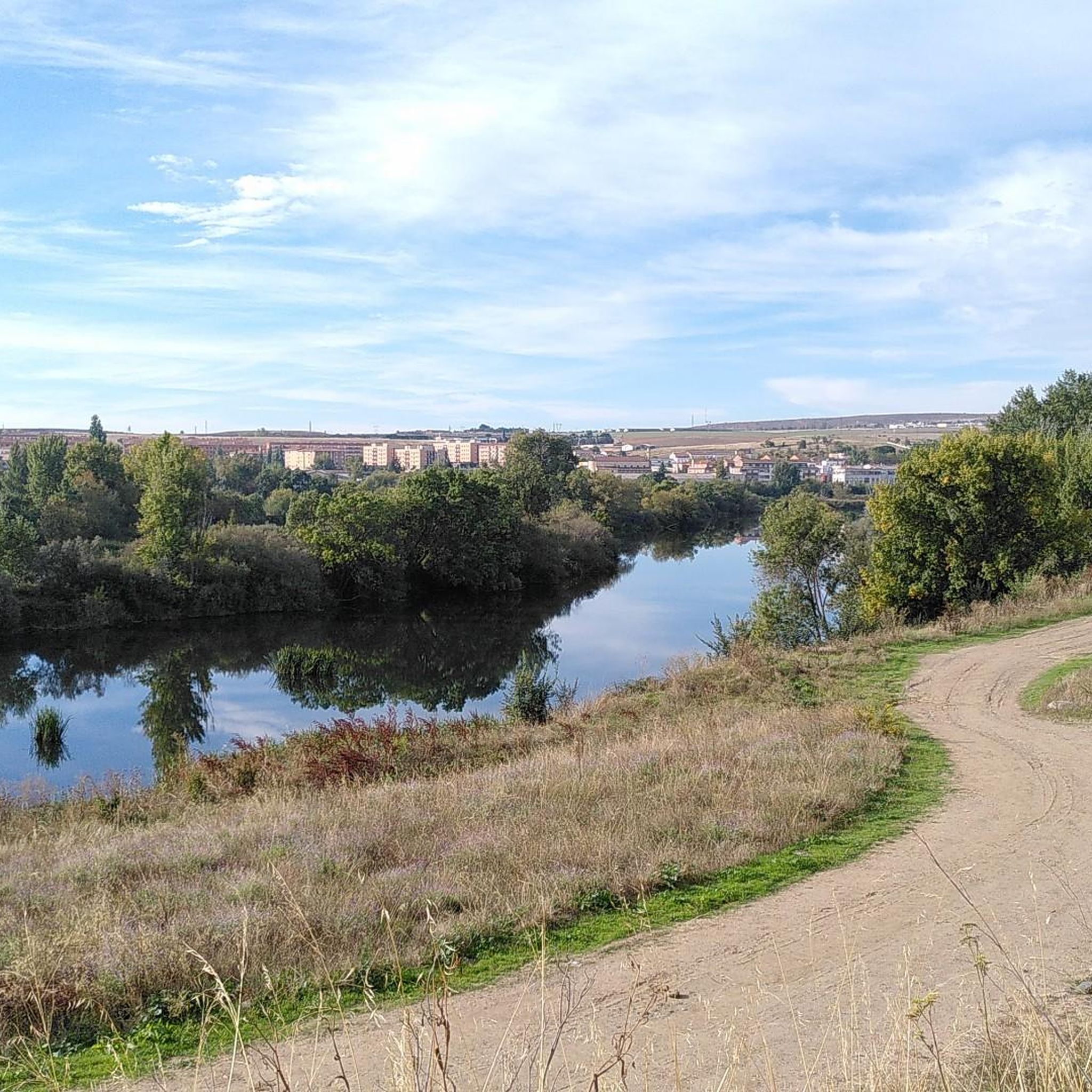
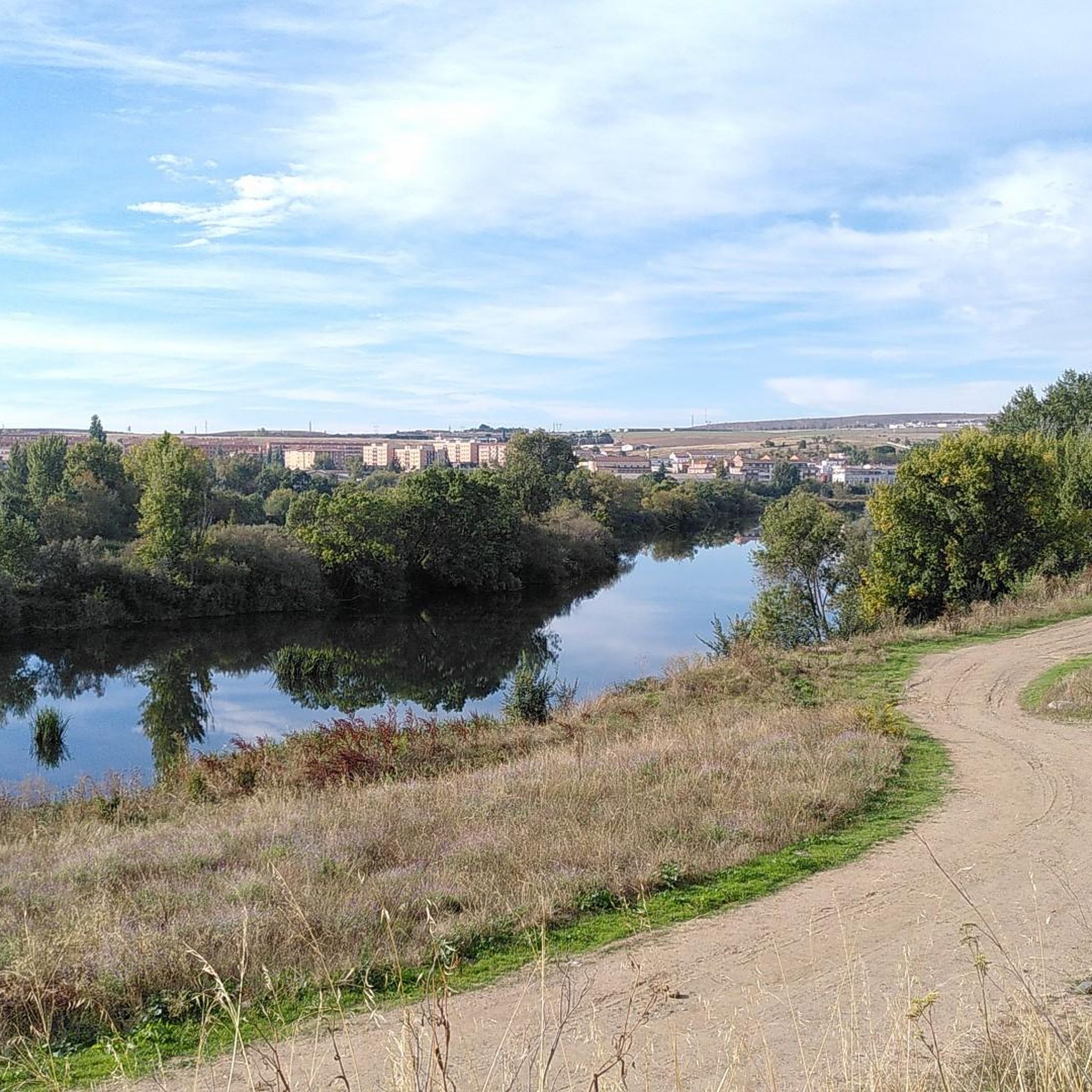
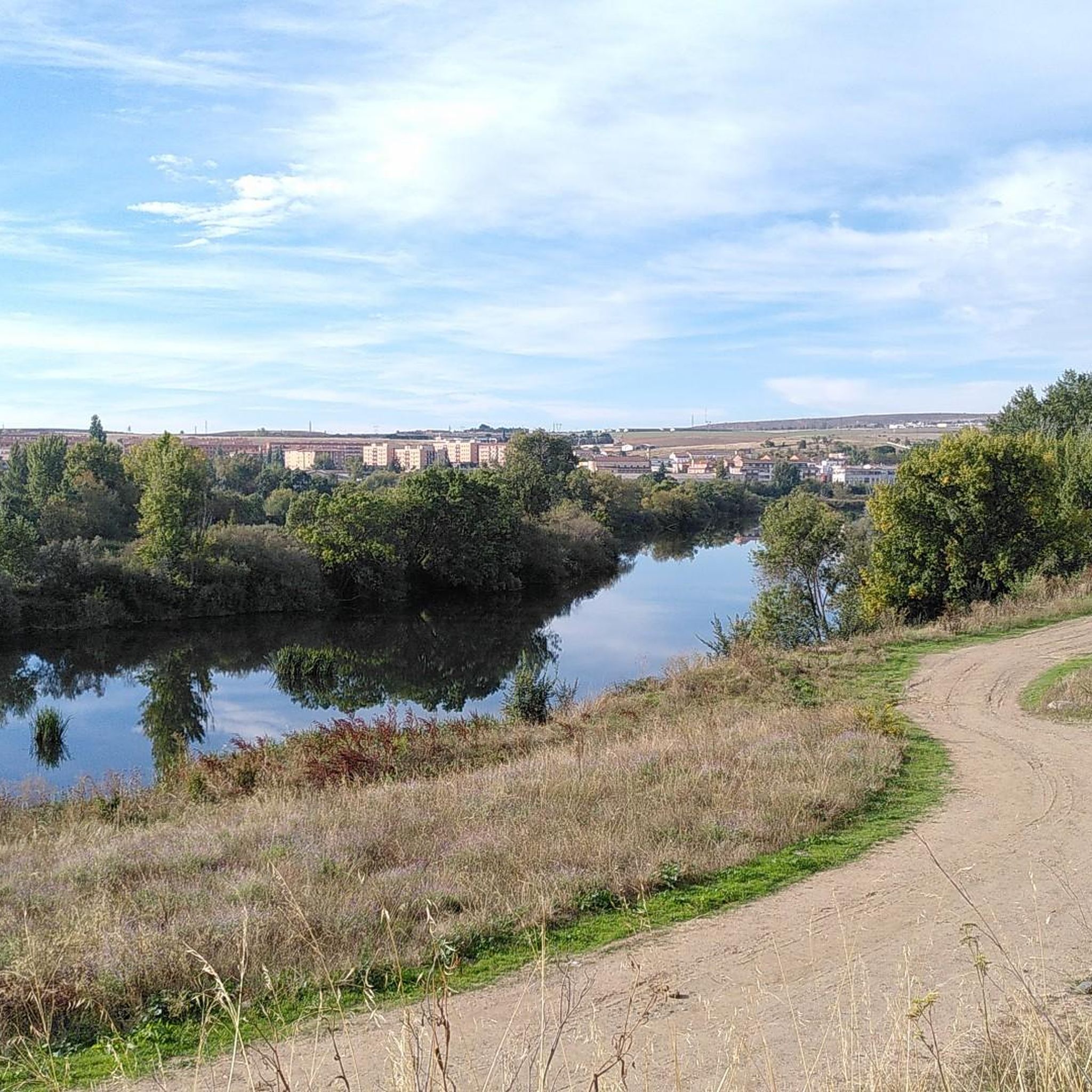
The Tormes is a river, a tributary of the Duero on its left bank, which runs through the provinces of Ávila, Salamanca and Zamora, in the autonomous community of Castilla y León,
3
0
Popular place to stroll and enjoy the tranquil atmosphere and architectural beauty of Salamanca.
21
0
The Salamanca Tourist Information Office is located in the Plaza Mayor and offers a wide range of services for visitors.
16
0
The Roman Bridge of Salamanca, also known as Puente Mayor del Tormes, is an ancient bridge that crosses the Tormes River in the city of Salamanca, Spain. This bridge has a rich history and is a testament to Roman and medieval architecture.
22
0

The well-known main square of Salamanca, always special.
3
0

Galindo y Perahuy conserves its Parish Church of Santo Tomás Apóstol in a good state of conservation: It is a construction that dates from the year 1835. Inside we can contemplate a painting of the Most Pure Virgin and that it is said that it could have previously been in an Augustinian convent in the town of Miranda de Pericalvo.
0
1
Frequently Asked Questions
How many road cycling routes are available in Galindo y Perahuy?
There are over 30 road cycling routes around Galindo y Perahuy, offering a wide range of options for different skill levels. This includes 5 easy routes, 17 moderate routes, and 8 more challenging options.
What kind of terrain can I expect on road cycling routes around Galindo y Perahuy?
The terrain around Galindo y Perahuy is quite varied. You'll primarily experience the unique 'dehesa' ecosystem, characterized by oak and cork forests with pastures. Routes can range from easy, short, and flat sections, often along traffic-free paths, to more challenging rides with significant elevation gains, as the area's altitude varies from 790 to 843 meters above sea level. The Valmuza and Ribera streams also add to the scenic backdrop.
Are there road cycling routes suitable for beginners in Galindo y Perahuy?
Yes, Galindo y Perahuy offers several beginner-friendly road cycling routes. These are typically easy, short, and flat, often utilizing traffic-free paths through charming small villages. An example of an easy route is the Tormes River Route, which is 29.8 miles long with moderate elevation gain.
Are there challenging road cycling routes for experienced cyclists?
Absolutely. For experienced cyclists seeking a challenge, there are 8 difficult routes available. These routes feature more significant elevation gains and longer distances. For instance, the Roman Bridge of Salamanca – View of Salamanca Cathedral loop from Tejares - Chamberí is a demanding 66.6-mile route with over 1000 meters of ascent.
What landmarks or points of interest can I see along road cycling routes in Galindo y Perahuy?
While cycling, you can explore several points of interest. Within Galindo y Perahuy itself, you might visit the Church of Santo Tomás Apóstol, which houses an 11th-century Romanesque baptismal font, or the Museo de Labranza at El Corralón, showcasing traditional crafts. Routes extending towards Salamanca can lead you past iconic sites like the Plaza Mayor of Salamanca, the Salamanca Cathedral, or the historic Roman Bridge of Salamanca.
Are the road cycling routes in Galindo y Perahuy generally safe and traffic-free?
Yes, many road cycling routes in the Galindo y Perahuy area are known for being safe and largely free of heavy traffic. The rural setting and prevalence of paved surfaces contribute to a tranquil cycling experience, especially on routes that traverse smaller villages and the dehesa landscape.
Are there options for circular road cycling routes?
Yes, many of the road cycling routes around Galindo y Perahuy are designed as loops, allowing you to start and finish at the same point. An example is the Plaza Mayor of Salamanca – Colegio Arzobispo Fonseca loop from Parada de Arriba, which offers a comprehensive tour through the broader Salamanca province.
What is the best time of year for road cycling in Galindo y Perahuy?
The best time for road cycling in Galindo y Perahuy is typically during spring (April-May) and autumn (September-October). During these seasons, the weather is generally mild and pleasant, making for comfortable riding conditions. Summers can be quite hot, while winters might bring colder temperatures, though the region generally experiences a Mediterranean climate with dry summers.
Is public transport available to access road cycling routes in Galindo y Perahuy?
Galindo y Perahuy is a rural municipality, and while direct public transport options to specific route starting points might be limited, its proximity to Salamanca (approximately 22 kilometers) means you can often use public transport to reach Salamanca and then cycle from there. Some routes, like the Plaza Mayor of Salamanca – Colegio Arzobispo Fonseca loop from Parada de Arriba, start from areas easily accessible from the city.
Are there parking options near the road cycling routes?
Given the rural nature of Galindo y Perahuy and its surrounding villages, finding parking is generally straightforward. You can often find suitable parking in the centers of the small towns or near the starting points of routes, especially in less congested areas. Always check local signage for any restrictions.
Can I find cafes or places to stop along the road cycling routes?
Yes, as you cycle through the villages and rural areas around Galindo y Perahuy, you will find opportunities to stop at local cafes, bars, or small shops. These provide excellent spots to refuel, grab a drink, or experience local hospitality. Larger towns like Salamanca, which many routes connect to, offer a wider array of dining and refreshment options.
What do other road cyclists enjoy most about road cycling in Galindo y Perahuy?
The road cycling experience in Galindo y Perahuy is highly rated by the komoot community, with an average score of 4.6 stars from over 10 reviews. Cyclists often praise the tranquil rural setting, the largely traffic-free paved roads, and the scenic beauty of the dehesa landscape. The variety of routes, from easy riverside rides to more challenging climbs, is also a significant draw.
Most popular routes around Galindo Y Perahuy
Most popular attractions around Galindo Y Perahuy

Get inspired with the komoot mobile app


Explore more
Browse the best Road cycling routes in other regions.
