The best gravel rides around Mühlwald - Selva Dei Molini
4.5
(157)
1,552
riders
48
rides
Gravel biking around Mühlwald - Selva Dei Molini offers diverse alpine terrain within South Tyrol's Ahrntal. The region features high mountain peaks, verdant valleys, and a network of rivers and streams. Terrain includes forest paths, alpine meadows, and unpaved roads, providing varied elevations for gravel cyclists. These natural trails and forest tracks offer routes away from main traffic.
Best gravel bike trails around Mühlwald - Selva Dei Molini
- The most popular gravel bike trail is Sand in Taufers village center…
Last updated: October 11, 2026
4.8
(5)
96
riders
91.8km
05:28
1,070m
1,070m
Hard gravel ride. Very good fitness required. Mostly paved surfaces. Suitable for all skill levels.
4.3
(11)
82
riders
Moderate gravel ride. Good fitness required. Mostly paved surfaces. Suitable for all skill levels.

4.4
(7)
46
riders
45.3km
03:21
1,140m
1,140m
Hard gravel ride. Very good fitness required. Mostly paved surfaces. Suitable for all skill levels.
4.7
(3)
17
riders
44.8km
03:42
1,450m
1,450m
Hard gravel ride. Very good fitness required. Mostly paved surfaces. Suitable for all skill levels.
5.0
(2)
11
riders
22.5km
02:28
1,080m
1,080m
Hard gravel ride. Very good fitness required. Mostly paved surfaces. Suitable for all skill levels.
Get access to more routes and recommendations from other explorers.
Already have an account?
Our route recommendations are based on thousands of hikes, rides, and runs completed by other people on komoot.
Start today with a free account
Your next adventure awaits.
Popular around Mühlwald - Selva Dei Molini
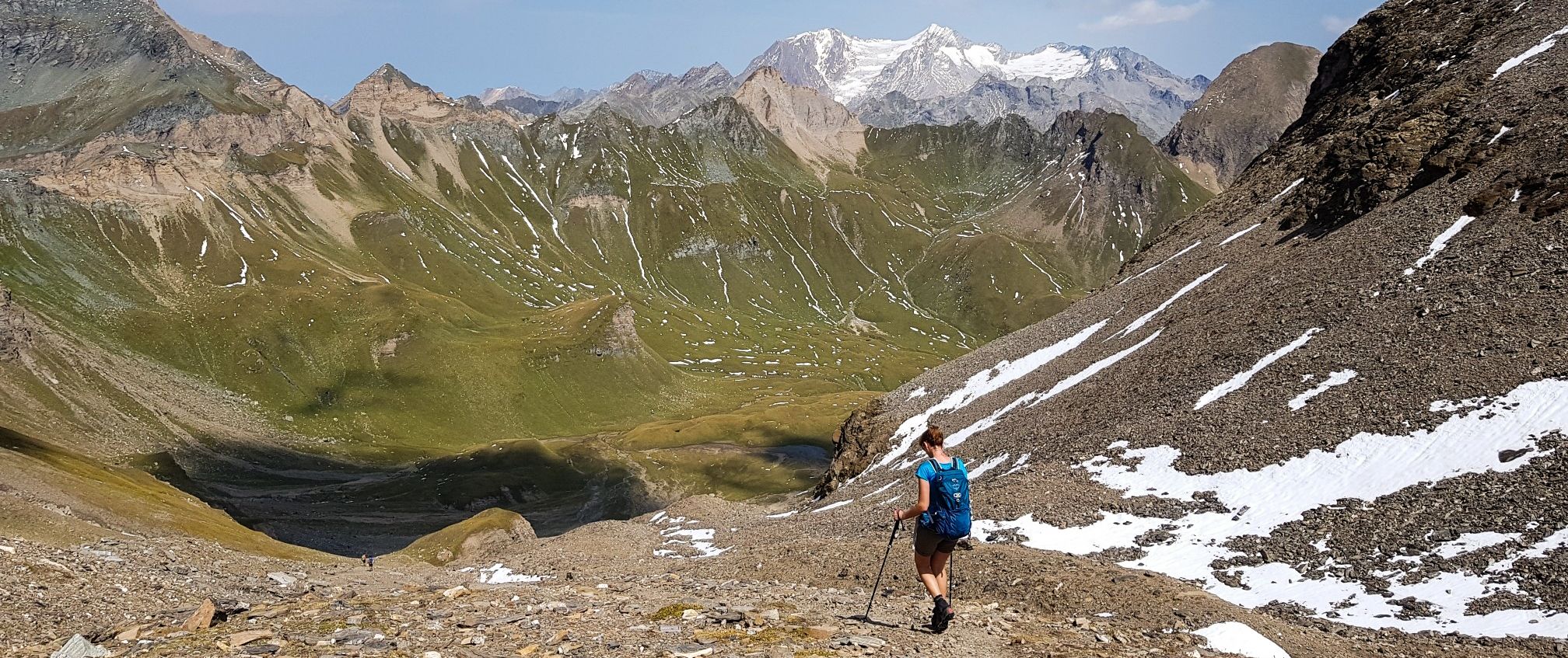
The Pfunderer High Route – Alpine. Solitary. Breathtaking.
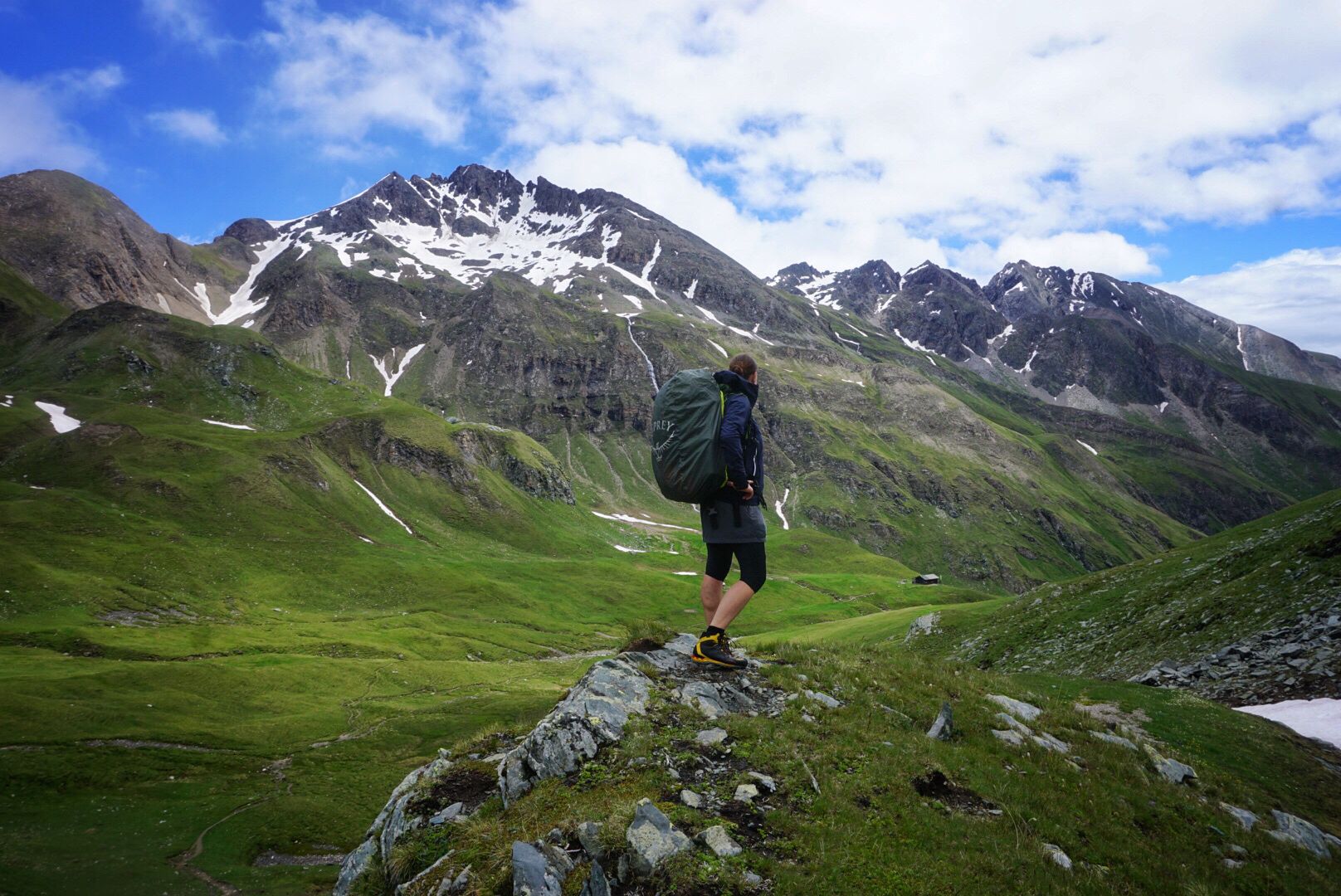
Pfunderer Mountain Trail in South Tyrol – high alpine hiking
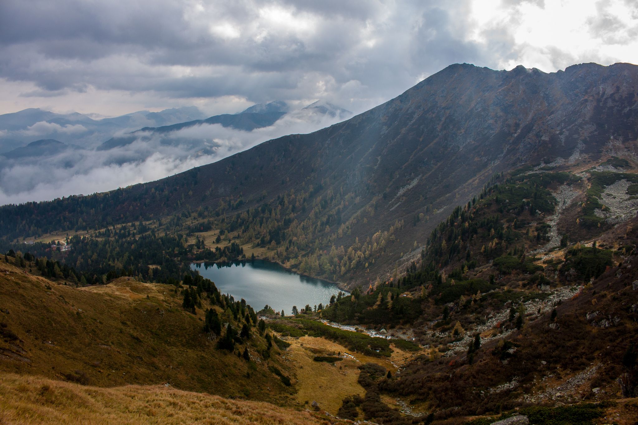
Berge mit unglaublichen Namen
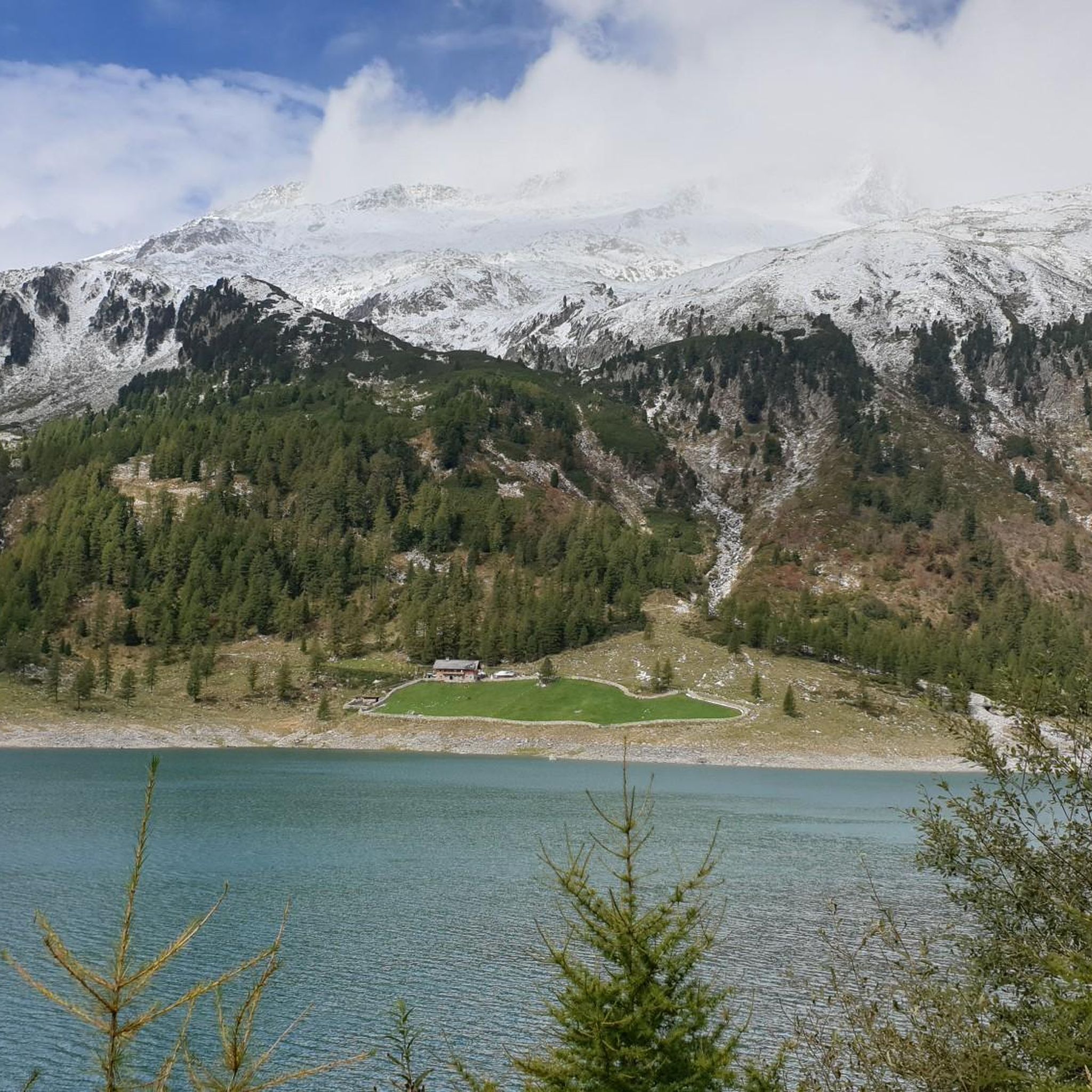
Hiking around Mühlwald - Selva Dei Molini
Road Cycling Routes around Mühlwald - Selva Dei Molini
Cycling around Mühlwald - Selva Dei Molini
Running Trails around Mühlwald - Selva Dei Molini
MTB Trails around Mühlwald - Selva Dei Molini

Mountain Hikes around Mühlwald - Selva Dei Molini


Tips from the Community

Great little town, definitely recommended
0
0
Beautiful cycle path with a lot of variety
0
0

Very nice cycling route, also good to ride on very hot days as there is always some shade.
0
0

You can walk around the lake on a path approximately 3.5 km long, with about 90m of elevation gain to overcome. During the hike, you always have a great view of the lake with its magnificent colors.
1
0

Church of Saint Wolfgang
0
0

Schnaidaleachn is a restaurant located above Rio Bianco, in a secluded location surrounded by nature. A true gateway to the Trattenbachtal, it's an excellent place to stop at the end of the day. https://www.schnaidaleachn.com/it
1
0

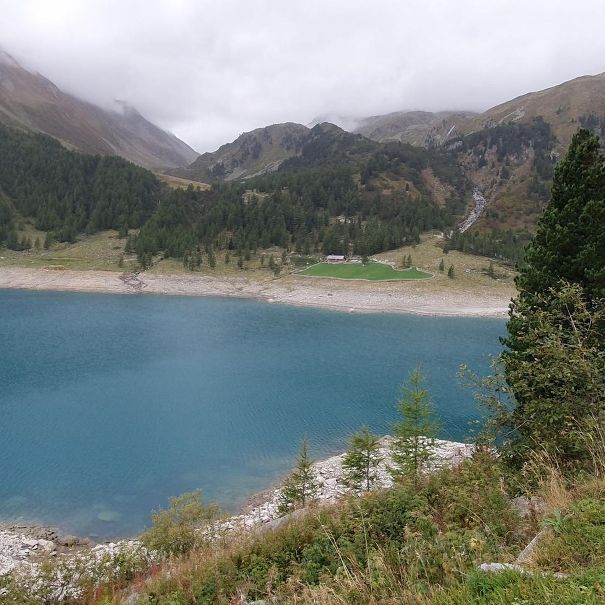
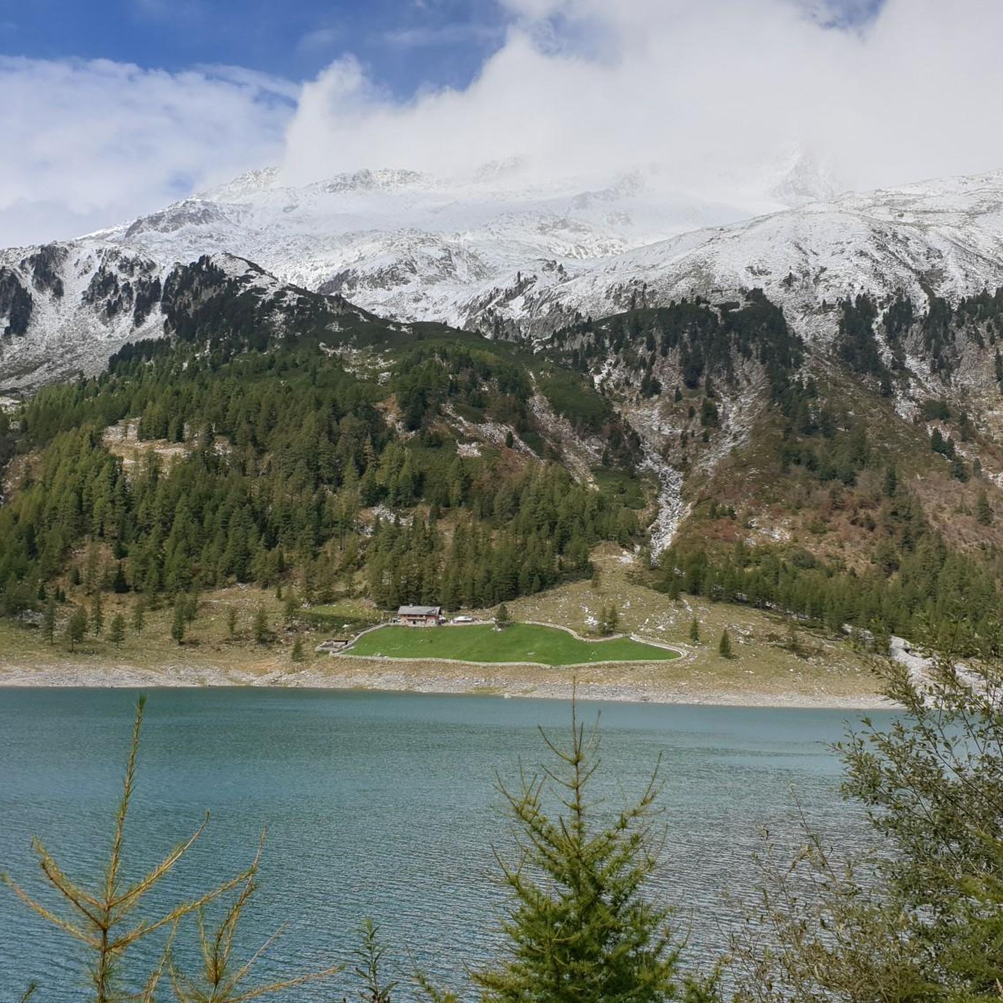
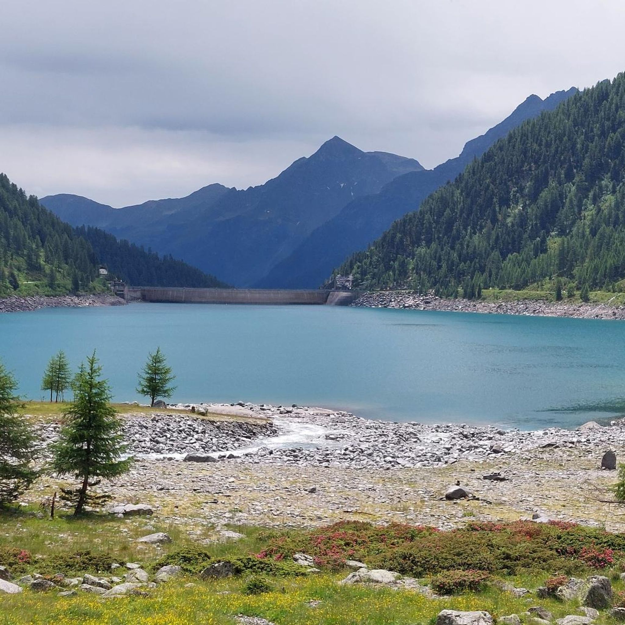
Nice lake with reflective mountains and a great panorama.
0
0

It's a very beautiful place with magnificent views of the Rieserferner mountain range. Above all, the highest peak, the Hochgall, is truly impressive.
0
0
Frequently Asked Questions
What kind of terrain can I expect on gravel bike trails in Mühlwald - Selva Dei Molini?
The region offers a diverse alpine landscape with a mix of forest paths, alpine meadows, and unpaved roads. You'll find varied elevations, from moderate valley routes to more challenging climbs, all set against the backdrop of the Zillertal Alps.
Are there any family-friendly gravel biking options in Mühlwald - Selva Dei Molini?
Yes, the region offers routes suitable for families. While specific 'family-friendly' routes are not explicitly tagged, many valley paths and sections of the Pusterbike Cycle Path, which includes gravel surfaces, provide accessible and enjoyable rides for various skill levels. Look for routes with lower elevation gain for a more relaxed experience.
Can I bring my dog on the gravel bike trails in Mühlwald - Selva Dei Molini?
Many trails in the Mühlwald - Selva Dei Molini region are dog-friendly, especially forest paths and unpaved roads. However, it's always recommended to keep your dog on a leash, especially in areas with wildlife or near livestock, and to check local regulations for specific trails or protected areas.
What are some notable natural attractions or viewpoints I can see while gravel biking?
Mühlwald - Selva Dei Molini is known as the 'Valley of Water,' so you'll encounter numerous waterfalls, including the impressive Riva waterfalls. You can also ride past picturesque lakes like Lake Mühlwald and the stunning Lake Neves (Lappago Reservoir), which offers panoramic views of the Zillertal Alps. The Schlegeis Reservoir and Klaussee are also beautiful spots to discover.
What is the best season for gravel biking in Mühlwald - Selva Dei Molini?
The best season for gravel biking in Mühlwald - Selva Dei Molini is typically from late spring to early autumn (May to October). During these months, the weather is generally mild, and trails are clear of snow. Early spring and late autumn can also be pleasant, but higher elevation routes might still have snow or be subject to colder temperatures.
Are there any circular gravel bike routes in the area?
Yes, many routes in the region are designed as loops, allowing you to start and end at the same point. For example, the Sand in Taufers village center – Ahrntal Valley Cycle Path loop from Kematen - Caminata di Tures is a popular moderate option, and the more challenging Nevesalm – Lake Neves and Dam loop from Sand in Taufers - Campo Tures offers stunning alpine scenery.
Where can I find parking for gravel biking trails in Mühlwald - Selva Dei Molini?
Parking is generally available in the main villages and at popular trailheads throughout the region. Many routes, especially those starting from larger towns like Sand in Taufers or Campo Tures, offer designated parking areas. It's advisable to check the starting point of your chosen route on komoot for specific parking information.
What do other gravel bikers enjoy most about the trails in Mühlwald - Selva Dei Molini?
The komoot community highly rates the gravel biking experience here, with an average score of 4.5 stars from over 160 reviews. Riders often praise the stunning alpine scenery, the variety of terrain from valley paths to challenging climbs, and the opportunity to explore quiet forest tracks and unpaved roads away from traffic.
Are there any cafes or restaurants along the gravel bike routes for a break?
Yes, you'll find various opportunities for refreshment. Many routes pass through or near villages where cafes and restaurants are available. Additionally, some alpine pastures and mountain huts, like the Weizgruber Mountain Hut, offer places for rest and local refreshments during longer excursions, especially on higher-altitude trails.
Are there any specific permits required for gravel biking in South Tyrol or Mühlwald - Selva Dei Molini?
Generally, no specific permits are required for gravel biking on public roads, forest paths, or designated cycle paths in South Tyrol. However, always respect private property signs and any local regulations regarding access to specific areas, especially nature reserves or protected zones.
How can I access the gravel biking trails using public transport in Mühlwald - Selva Dei Molini?
The Ahrntal (Valle Aurina) region, where Mühlwald - Selva Dei Molini is located, has a public transport network, primarily buses. Many bus lines allow the transport of bicycles, though space might be limited, especially during peak season. It's recommended to check the local bus schedules and bike transport policies in advance to plan your journey effectively.
What is a good gravel bike route for someone looking for a challenging ride with significant elevation?
For a challenging ride with substantial elevation gain and stunning alpine views, consider the Sand in Taufers village center – Knuttenalm loop from Kematen - Caminata di Tures. This route covers over 44 km with more than 1400 meters of elevation gain, taking you through demanding terrain to rewarding high-altitude spots.
Most popular routes around Mühlwald - Selva Dei Molini
Most popular attractions around Mühlwald - Selva Dei Molini

Get inspired with the komoot mobile app


Explore more
Browse the best Gravel rides in other regions.
