The best gravel rides around Subiaco
5.0
(2)
37
riders
7
rides
Gravel bike trails around Subiaco are situated in the Aniene Valley within the Monti Simbruini Natural Park, offering diverse terrain for cycling. The region is characterized by the Apennine mountains, featuring consistently hilly, quiet, and winding roads. Routes often include challenging gravel sections through dense beech forests and along the Aniene River, alongside historical sites.
Best gravel bike trails around Subiaco
- The most popular gravel bike trail is Old Mill of Jenne – Border of the Papal State loop from…
Last updated: August 28, 2026
9
riders
24.4km
02:00
560m
560m
Hard gravel ride. Very good fitness required. Mostly paved surfaces. Suitable for all skill levels.
5
riders
41.9km
03:39
1,070m
1,070m
Hard gravel ride. Very good fitness required. Mostly paved surfaces. Suitable for all skill levels.

Sign up for free
1
riders
19.9km
01:54
410m
410m
Moderate gravel ride. Good fitness required. Mostly paved surfaces. Suitable for all skill levels.
5.0
(1)
5
riders
19.0km
01:59
640m
640m
Hard gravel ride. Very good fitness required. Mostly paved surfaces. Suitable for all skill levels.
5
riders
99.2km
07:39
2,570m
2,570m
Hard gravel ride. Very good fitness required. Mostly paved surfaces. Suitable for all skill levels.
Get access to more routes and recommendations from other explorers.
Sign up for free
Already have an account?
Our route recommendations are based on thousands of hikes, rides, and runs completed by other people on komoot.
Start today with a free account
Your next adventure awaits.
Login or Signup
Popular around Subiaco
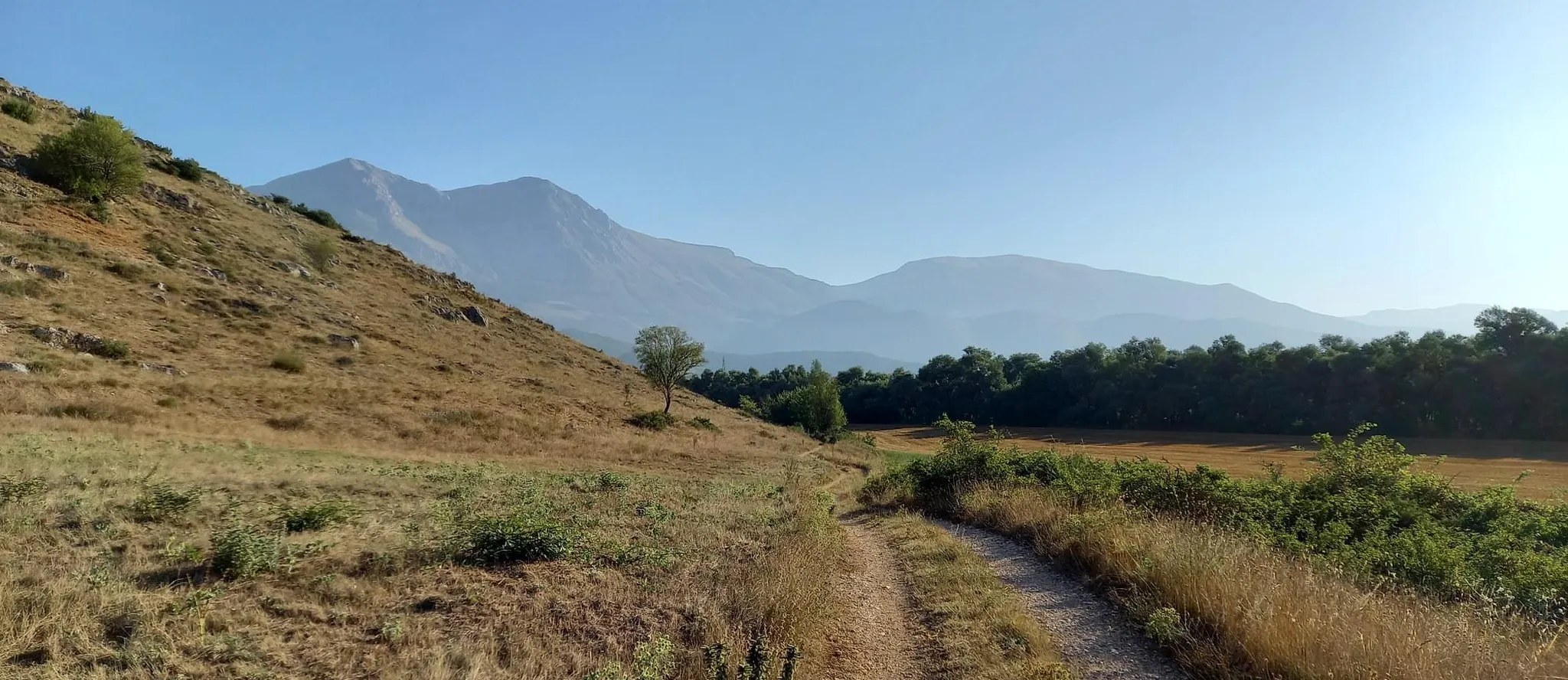
Hike from Rome to the Adriatic Sea – Way of St. Thomas
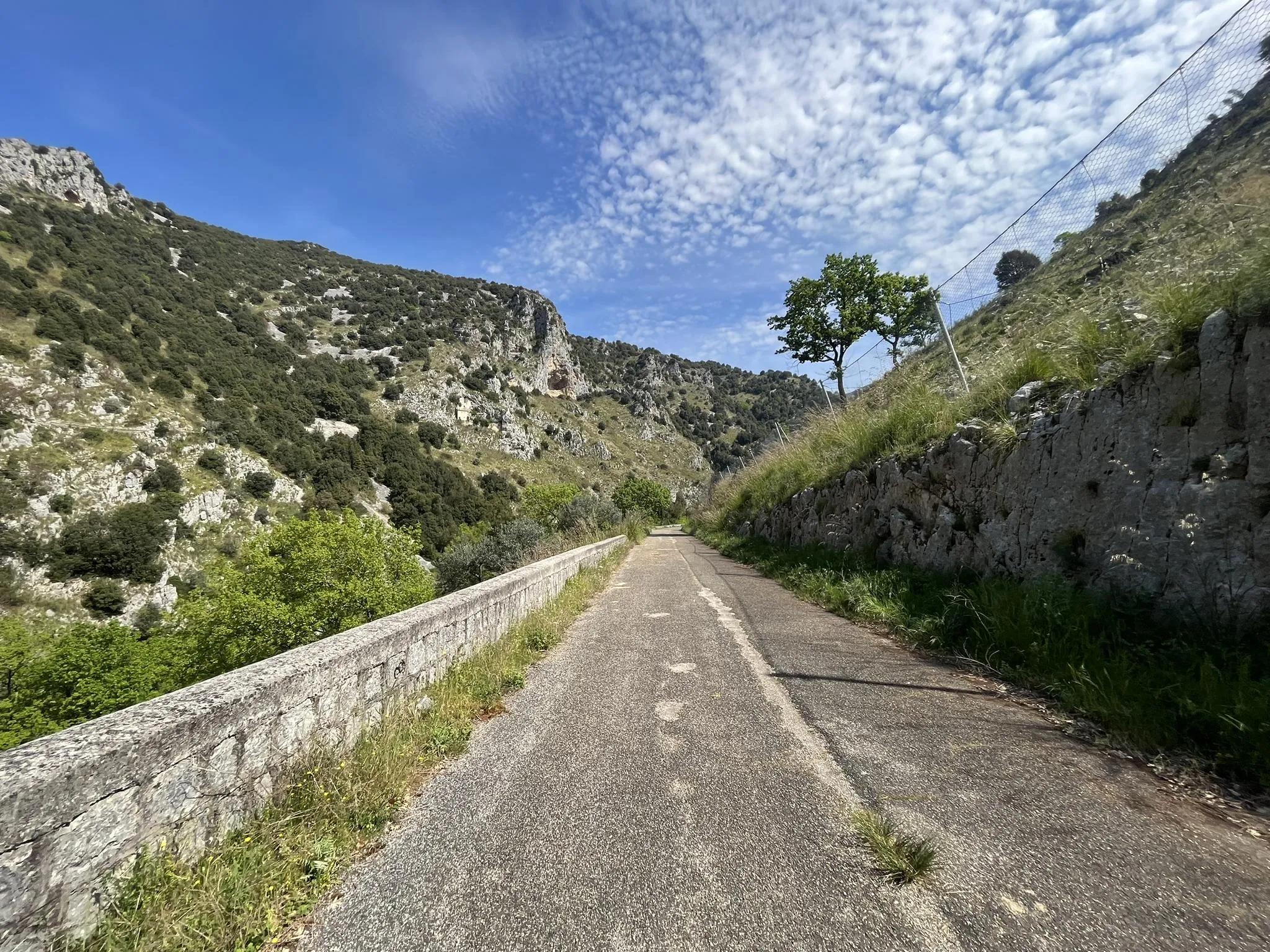
Between abbeys and quiet valleys – Saint Benedict's Way by bike
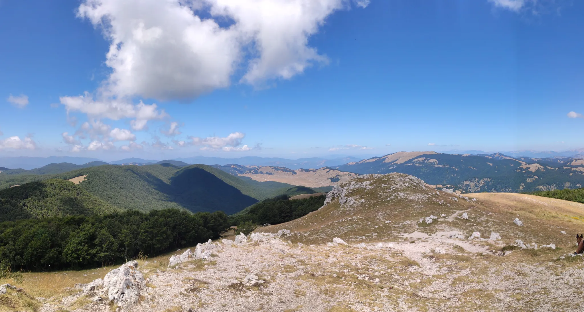
Cammino Naturale dei Parchi – Part 2 Livata to Corvaro
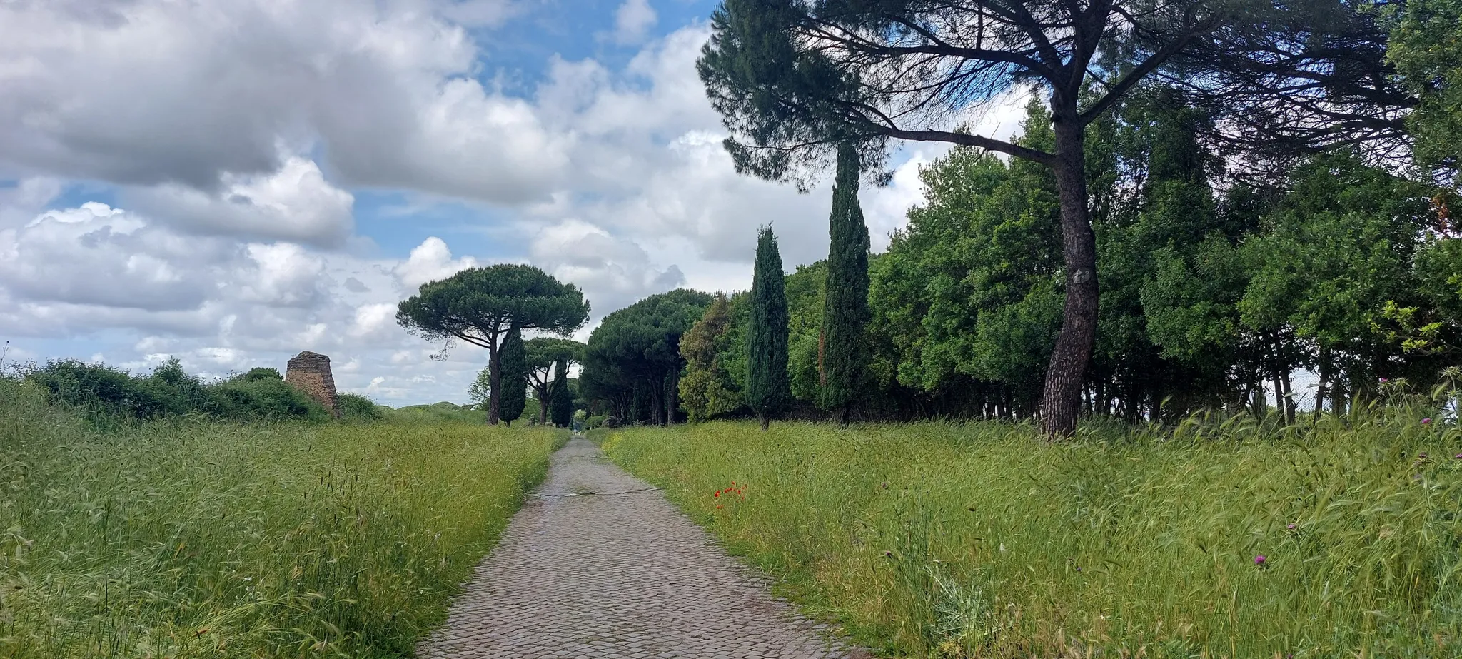
Cammino Naturale dei Parchi – Part 1 Rome to Livata
In the Footsteps of Saint Benedict - The Benedict Way
Hiking around Subiaco
Road Cycling Routes around Subiaco
Cycling around Subiaco
MTB Trails around Subiaco
Running Trails around Subiaco
Other adventures around Subiaco


Tips from the Community

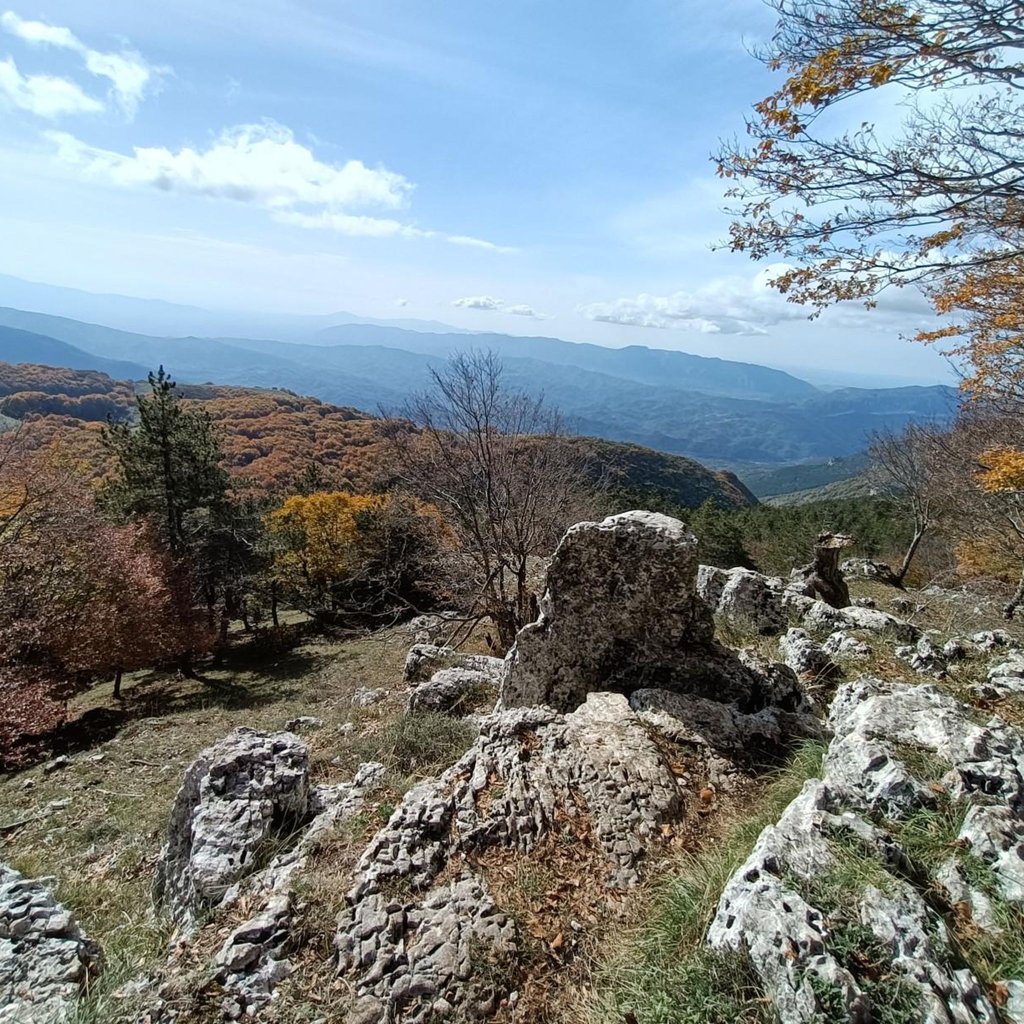
Panoramic point at about 1750 meters above sea level, important crossroads for singletrack
0
0

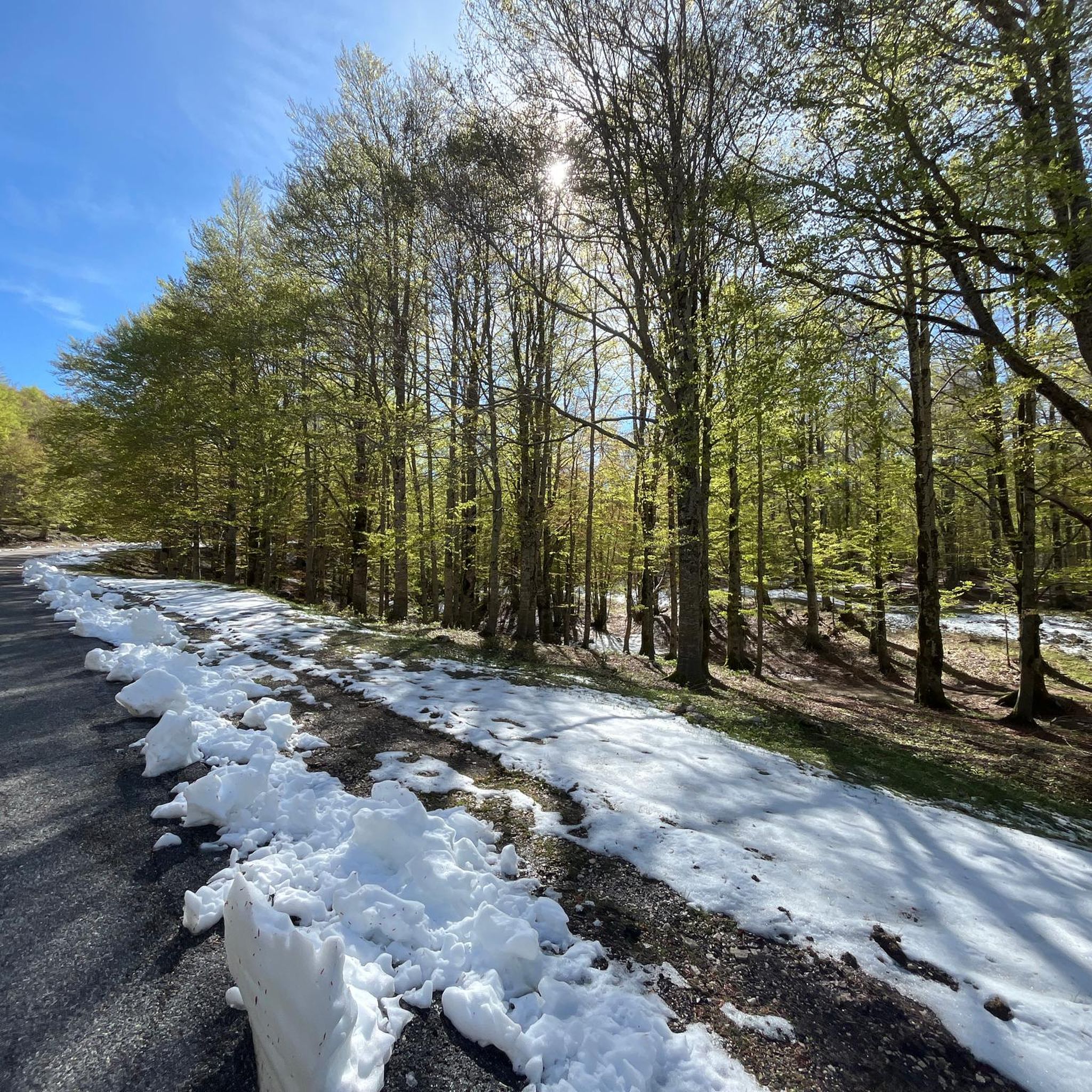
Starting from Campo dell'Osso, at an altitude of 1,750 meters, amid cool beech forests and silence broken only by the sound of tires on the ground. After a short initial stretch on a mixed trail, we immediately enter the heart of Cannavacciari, one of the most evocative trails in the Simbruini Mountains Natural Park. The trail winds steadily downhill, technical yet fluid, for 6.2 km, reaching Campo Secco at 1,340 meters. The elevation gain is significant—about 410 meters—but the varied terrain makes it fun and never boring. Fast sections alternate with tight curves, passages over roots, rocks, and some counter-slopes of up to 19%, reminding us that even on descents, you need to be strong. Every curve offers glimpses of the forest, shady sections, and the scent of pristine nature. The Cannavacciari trail has a touch of the ancient past: it's said to have been a link once used by charcoal burners and shepherds, and today it's beloved by mountain bike enthusiasts for its wild and authentic feel. The trail isn't always marked, so GPS is strongly recommended. Once you reach Campo Secco, an intense experience comes to an end, where every meter has been earned with technique and attention. A must for those who love natural, uncontrived enduro.
0
0

Reaching the parking lot of the Sanctuary of the Holy Trinity requires a challenging climb. The view from up here, however, makes all the effort worthwhile.
0
0
Descending through a beautiful beech forest from the SS Trinità parking lot, you reach the Cippi Papalini. Two centuries ago, they were the border between the Kingdom of the Two Sicilies and the Papal States, now Abruzzo and Lazio. We are also at the intersection of the three provinces of Rome, L'Aquila, and Frosinone.
0
0
The Simbruini Mountains plateau is a crossroads for interesting and varied trails. Cycling on this plateau, you can take advantage of its connection to a wide variety of destinations, including Livata, Campaegli, Vedute, Cervara, and Fioio. The only drawback is the lack of fountains.
0
0
Refreshment on the Trail Pereto Campo Rotondo
1
0

suggestive sanctuary nestled under a rock face, reachable by bike👍
0
0

This mill, built by Benedictine monks around the year 1000, was a fundamental point of reference for the inhabitants of the town and the surrounding areas. For centuries, people brought grain here to be ground, relying on the power of the water that, even today, flows clear and abundant. Today, all that remains of the Mola are the sturdy walls and the room where the milling took place, immersed in an almost fairy-tale landscape. All around, the river makes its way through moss and waterfalls, creating water games and reflections of light that make the atmosphere magical, especially in the early hours of the morning or at sunset. It is easy to let your imagination run wild and think about what life here must have been like once upon a time, with the noise of the millstones and the smell of freshly baked bread that spread through the houses of Jenne. The Vecchia Mola is not only a place of historical memory, but also an oasis of uncontaminated nature. In the surrounding area there are crystalline springs, such as that of the Cardellino, and paths that invite you to explore woods, caves and small waterfalls. Traveling along these routes, you often meet hikers, families and nature lovers, all attracted by the simple and authentic beauty of this corner of Lazio.
0
0
Frequently Asked Questions
How many gravel bike trails are available around Subiaco?
There are 6 gravel bike trails documented around Subiaco on komoot, offering a range of experiences from moderate to difficult. These routes are primarily located within the Aniene Valley and the Monti Simbruini Natural Park.
What are the typical difficulty levels for gravel biking in Subiaco?
Gravel biking routes in Subiaco range from moderate to difficult, requiring good to very good fitness. The terrain is consistently hilly, characteristic of the Apennine mountains, with challenging gravel sections through dense beech forests and along the Aniene River.
Are there any family-friendly gravel bike routes in the Subiaco area?
While many routes in Subiaco are rated moderate to difficult due to the hilly terrain and challenging gravel sections, the region offers diverse landscapes. For families, it's best to look for shorter, less elevated sections within the Aniene Valley or consider routes with less technical demands. Always check the route details for elevation and surface type before heading out.
Can I find circular gravel bike routes around Subiaco?
Yes, many of the gravel bike trails around Subiaco are designed as circular routes, allowing you to start and end in the same location. An example is the Observation Tower – Ristorante I Bucaneve loop from Campo Rotondo, a moderate 19.9 km path.
What natural attractions can I expect to see along the gravel bike trails?
The gravel trails often lead through the scenic Monti Simbruini Natural Park, offering views of dense beech forests and the emerald waters of the Aniene River. You might also encounter natural highlights like the Trevi Waterfalls in Lazio or the Cardellino Spring.
Are there historical sites or landmarks along the gravel routes?
Absolutely. Many routes weave through areas rich in history. You can explore ancient Benedictine monasteries like the Monastery of San Benedetto (Sacro Speco) and the Monastery of Santa Scolastica. The Old Mill of Jenne is another historical point of interest you might encounter on a ride like the Old Mill of Jenne – Border of the Papal State loop from Subiaco.
What is the best time of year for gravel biking in Subiaco?
The Monti Simbruini Natural Park, where many trails are located, offers cool beech forests, making summer a pleasant time for cycling. However, the region's diverse terrain can be enjoyed in spring and autumn as well, with vibrant foliage and comfortable temperatures. Winter might offer unique experiences, but some higher elevation trails could be affected by snow, especially around Monte Livata.
Are there options for longer, more challenging gravel rides?
Yes, for experienced gravel bikers seeking a challenge, Subiaco offers longer routes. The Prato di Camposecco – Monte Autore Viewpoints loop from Cervara di Roma is a difficult 39.7 km trail with significant elevation gain, perfect for a longer adventure.
Where can I find food or refreshments along the gravel trails?
Some routes pass by local eateries. For instance, the Observation Tower – Ristorante I Bucaneve loop from Campo Rotondo features a local restaurant. It's always a good idea to research specific routes for refreshment stops or carry your own provisions, especially on longer or more remote trails.
How can I reach the gravel trailheads in Subiaco?
Subiaco is accessible by car, and many trailheads offer parking. For public transport, local bus services connect Subiaco to surrounding towns. However, direct public transport access to specific remote trailheads within the Monti Simbruini Natural Park might be limited, so planning ahead is recommended.
What makes gravel biking in Subiaco unique?
Gravel biking in Subiaco is unique due to its integration of challenging Apennine mountain terrain with rich historical and natural landscapes. You'll experience consistently hilly, quiet, and winding roads, dense beech forests, and the picturesque Aniene River Valley, all while potentially passing ancient monasteries and charming villages.
Are there any specific viewpoints worth visiting on a gravel ride?
Yes, the region offers several stunning viewpoints. The Campaegli scenic viewpoint – Ascent to Monte Livata loop from Jenne is a popular route that leads to a fantastic vista. Additionally, the Monte Autore Summit offers panoramic views and can be reached via routes like the Campo Minio – Monte Autore Viewpoints loop from Campaegli.
What do other komoot users enjoy most about gravel biking in Subiaco?
The komoot community frequently praises the varied terrain and the immersive experience of gravel biking in Subiaco. Users often highlight the beautiful natural scenery of the Monti Simbruini Natural Park, the challenging yet rewarding climbs, and the opportunity to explore historical sites integrated into the routes.
Most popular attractions around Subiaco

Get inspired with the komoot mobile app


Explore more
Browse the best Gravel rides in other regions.
