The best gravel rides around Río Guadalete
4.8
(9)
113
riders
9
rides
Gravel biking around Río Guadalete features a landscape characterized by river valleys, historic railway lines, and elevated terrain. The region includes sections of the Vía Verde de la Sierra, offering routes through converted railway tunnels and over viaducts. Riders can expect a mix of riverine paths and routes ascending towards villages and viewpoints in the surrounding hills. This area provides diverse conditions for gravel biking, from former rail trails to more challenging climbs.
Best gravel bike trails around Río Guadalete
…Last updated: May 21, 2026
4.8
(4)
72
riders
59.4km
03:49
860m
860m
Hard gravel ride. Very good fitness required. Mostly paved surfaces. Suitable for all skill levels.
9
riders
55.6km
04:24
1,460m
1,460m
Hard gravel ride. Very good fitness required. Mostly paved surfaces. Suitable for all skill levels.

Sign up for free
4.8
(4)
14
riders
45.4km
02:45
580m
580m
Hard gravel ride. Very good fitness required. Mostly paved surfaces. Suitable for all skill levels.
4.0
(1)
13
riders
35.2km
02:10
470m
470m
Hard gravel ride. Very good fitness required. Mostly paved surfaces. Suitable for all skill levels.
2
riders
Moderate gravel ride. Good fitness required. Mostly paved surfaces. Suitable for all skill levels.
4
riders
45.2km
02:56
580m
580m
Hard gravel ride. Very good fitness required. Mostly paved surfaces. Suitable for all skill levels.
5.0
(1)
4
riders
48.2km
03:30
1,060m
1,050m
Hard gravel ride. Very good fitness required. Mostly paved surfaces. Suitable for all skill levels.
2
riders
77.9km
05:30
760m
750m
Hard gravel ride. Very good fitness required. Mostly paved surfaces. Suitable for all skill levels.
2
riders
15.2km
01:21
370m
370m
Moderate gravel ride. Good fitness required. Mostly paved surfaces. Suitable for all skill levels.
Our route recommendations are based on thousands of hikes, rides, and runs completed by other people on komoot.
Start today with a free account
Your next adventure awaits.
Login or Signup
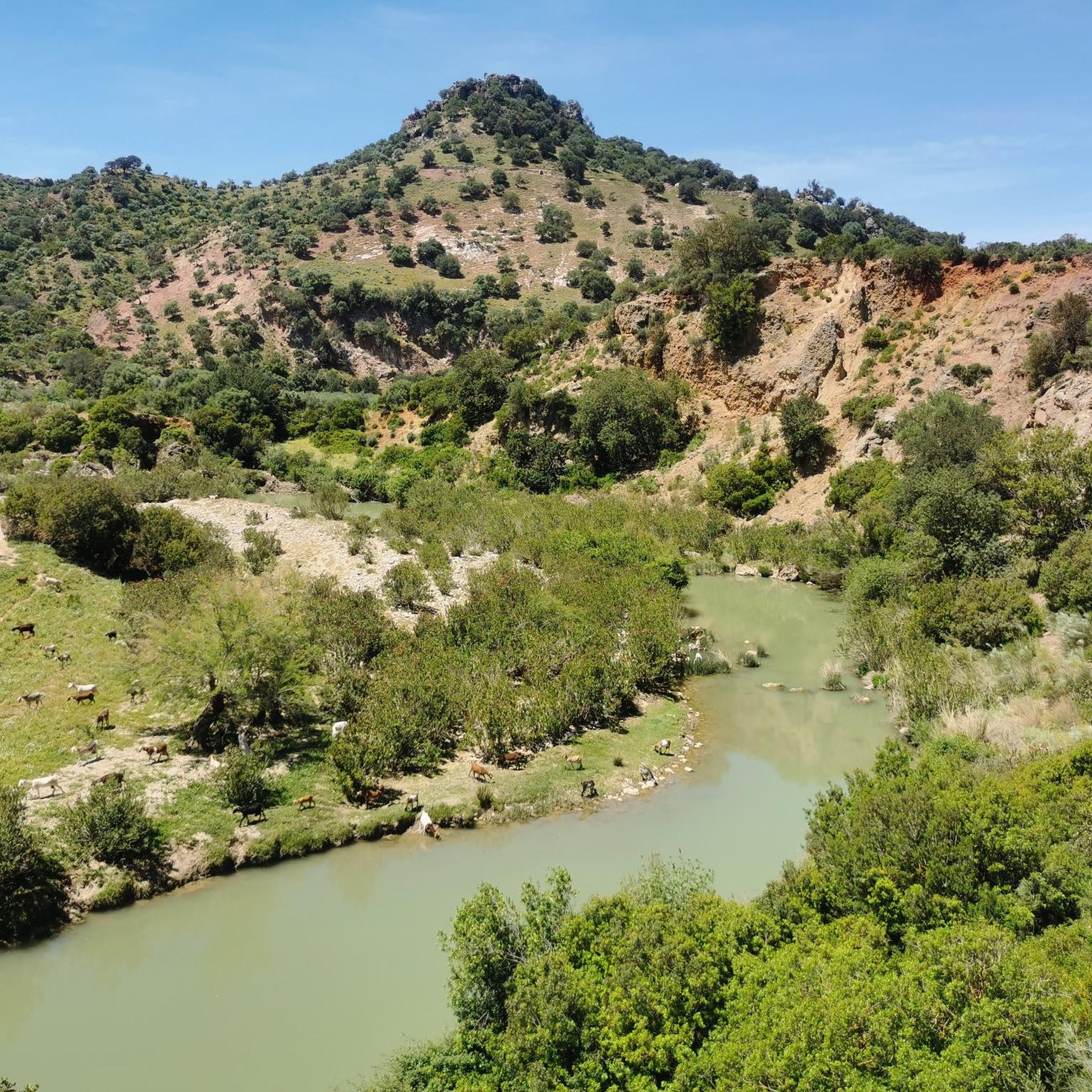
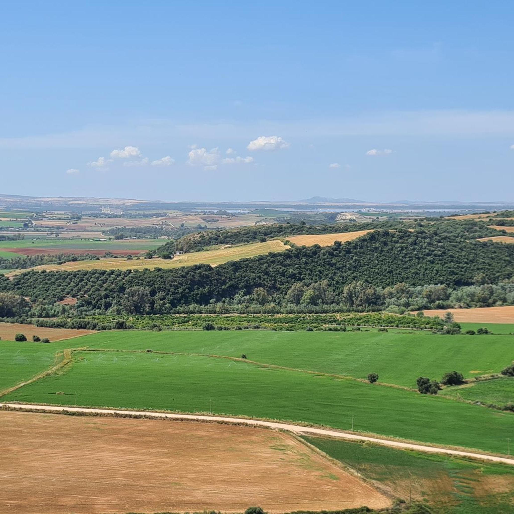
Other adventures around Río Guadalete

Tips from the Community


So it's totally impossible to get through with mountain bikes. After miles through brambles, thistles, holes, pits, stopped by an impassable pond so U-turn for miles
0
0

A 135-meter-long viaduct, built using rectangular truncated pyramidal pilasters with mortared ashlars, is formed by the repetition of seven identical arches. It was built to span the Guadalporcún River crossing before it meets the Guadamanil River. The latter originates in the Sierra de la Lebrona mountain range in the municipality of Pruna (Seville) and flows into the Guadalporcún River just a few meters from the viaduct. The confluence of the rivers has created a wide floodplain. From this railway infrastructure, there is a privileged view of the Estrechón Canyon, a natural passage carved by the Guadalporcún River to traverse the foothills of the Zaframagón Rock. Just below, on the left bank of the Guadalporcún, we find the ruined building of what was once the Zaframagón mill. A little further west, other ruins can be seen. It is a small town built for workers on the railway line construction site.
8
0
One of the most beautiful cycle paths in Europe!
9
0
Viaduct of 237 meters long, built by means of truncated pyramidal pilasters with a rectangular plan with mortared bluestones. It consists of 9 openings, eight of which are the same, and the fourth (counting from the station) with a larger arch. It is the longest viaduct of the nature trail, built to cross the junction with the Guadalporcún River.
7
0
Viaduct of 83 meters long, built by means of truncated pyramidal pilasters with a rectangular plan with mortared bluestones. Formed by the repetition of 5 equal openings. It was designed and built to save a deep ravine dug by a tributary of the Guadalporcún River.
8
0
Railway tunnel no. 23 of the Sierra Greenway Nature Trail. Located 923 meters from the previous tunnel, it is 125 meters long and has no artificial lighting, so a flashlight is recommended. This tunnel is excavated into the side of a clay hill.
8
0
Frequently Asked Questions
How many gravel bike trails are available around Río Guadalete?
There are over 10 gravel bike routes available in the Río Guadalete region, catering to various skill levels. The network offers a mix of riverine paths, former rail trails, and ascents into the surrounding hills.
Are there any moderate or beginner-friendly gravel bike routes in Río Guadalete?
While many routes are challenging, there are options suitable for those looking for a moderate experience. For example, the Castillo Tunnel loop from Puerto Serrano is a moderate 32.4 km route that offers a good introduction to the region's gravel biking.
What kind of terrain can I expect on the gravel bike trails in Río Guadalete?
The terrain around Río Guadalete is diverse, featuring river valleys, sections of the Vía Verde de la Sierra (converted railway lines), and elevated routes leading to villages and viewpoints. You'll encounter a mix of well-maintained gravel paths and more challenging climbs.
Are there any circular gravel bike routes in the Río Guadalete area?
Yes, many of the gravel bike routes in Río Guadalete are designed as loops. For instance, the Fox Pass – Pancorbo Viewpoint loop from Montellano is a moderate 15.2 km circular route, perfect for exploring the local scenery.
What are some notable landmarks or attractions I can see along the gravel bike trails?
The region offers several points of interest. You can ride along the historic Vía Verde de la Sierra, cross the impressive Viaducto de Los Azares, or enjoy panoramic views from the Mirador de Abades. Some routes also pass by historical sites like Puerta Matrera.
How long do the gravel bike trails typically take to complete?
The duration varies significantly depending on the route's length and difficulty. Shorter, moderate routes like the Fox Pass – Pancorbo Viewpoint loop from Montellano can take around 1 hour 35 minutes, while longer, difficult routes such as the Grazalema – Pass of the Doves loop from Levante might require over 9 hours.
Are there any challenging gravel bike routes for experienced riders?
Absolutely. The Río Guadalete area is known for its challenging routes. The Views of the old town – Roman Saltworks of Iptuci loop from Marqués de Mérito - Complejo Deportivo is a difficult 34.6 km route with significant elevation changes, offering a demanding ride for seasoned gravel bikers.
What do other gravel bikers enjoy most about the trails in Río Guadalete?
The area is highly rated by the komoot community, with an average score of 4.9 stars. Reviewers often praise the diverse terrain, the scenic beauty of the river valleys, and the unique experience of riding along the Vía Verde de la Sierra, including its tunnels and viaducts.
Can I find routes that follow the Guadalete River itself?
Yes, some routes incorporate sections along the Guadalete River. The Fuente del Algarrobo – Guadalete River Trail loop from Zahara is a 48.2 km difficult route that allows you to experience the riverine landscape firsthand.
Are there any routes that connect different villages or towns?
Many routes are designed to connect local villages and offer a glimpse into the region's culture. For example, the Castillo Tunnel – Vía Verde de la Sierra loop from Montellano is a difficult 53.7 km route that links different points of interest and towns.
What are the general trail conditions like, especially on the Vía Verde de la Sierra sections?
The Vía Verde de la Sierra sections are generally well-maintained, offering a smooth gravel surface suitable for biking. Other parts of the region, especially those ascending into the hills, may feature more varied and rugged terrain, typical of gravel biking.
Most popular routes around Río Guadalete
Most popular attractions around Río Guadalete

Get inspired with the komoot mobile app


Explore more
Browse the best Gravel rides in other regions.
