The best gravel rides around Tunstall Reservoir
4.3
(8)
104
riders
5
rides
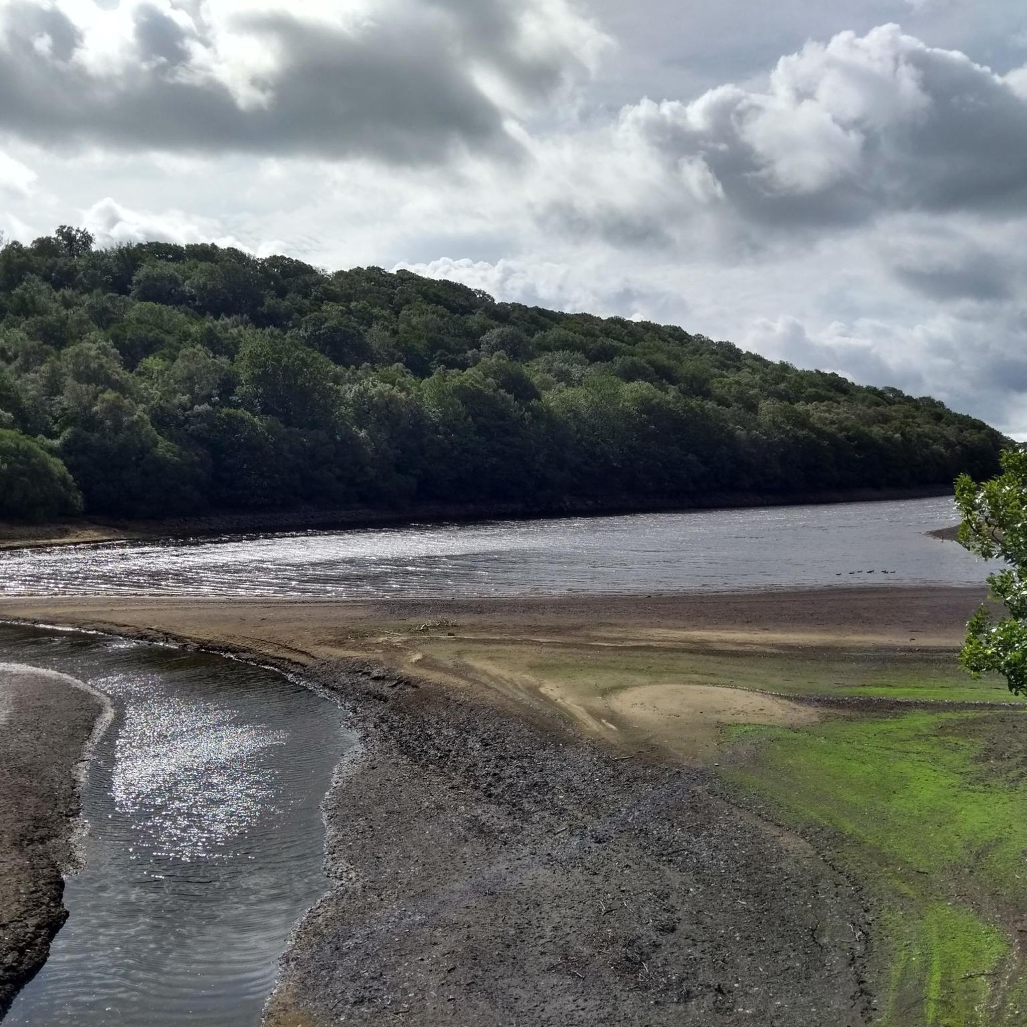
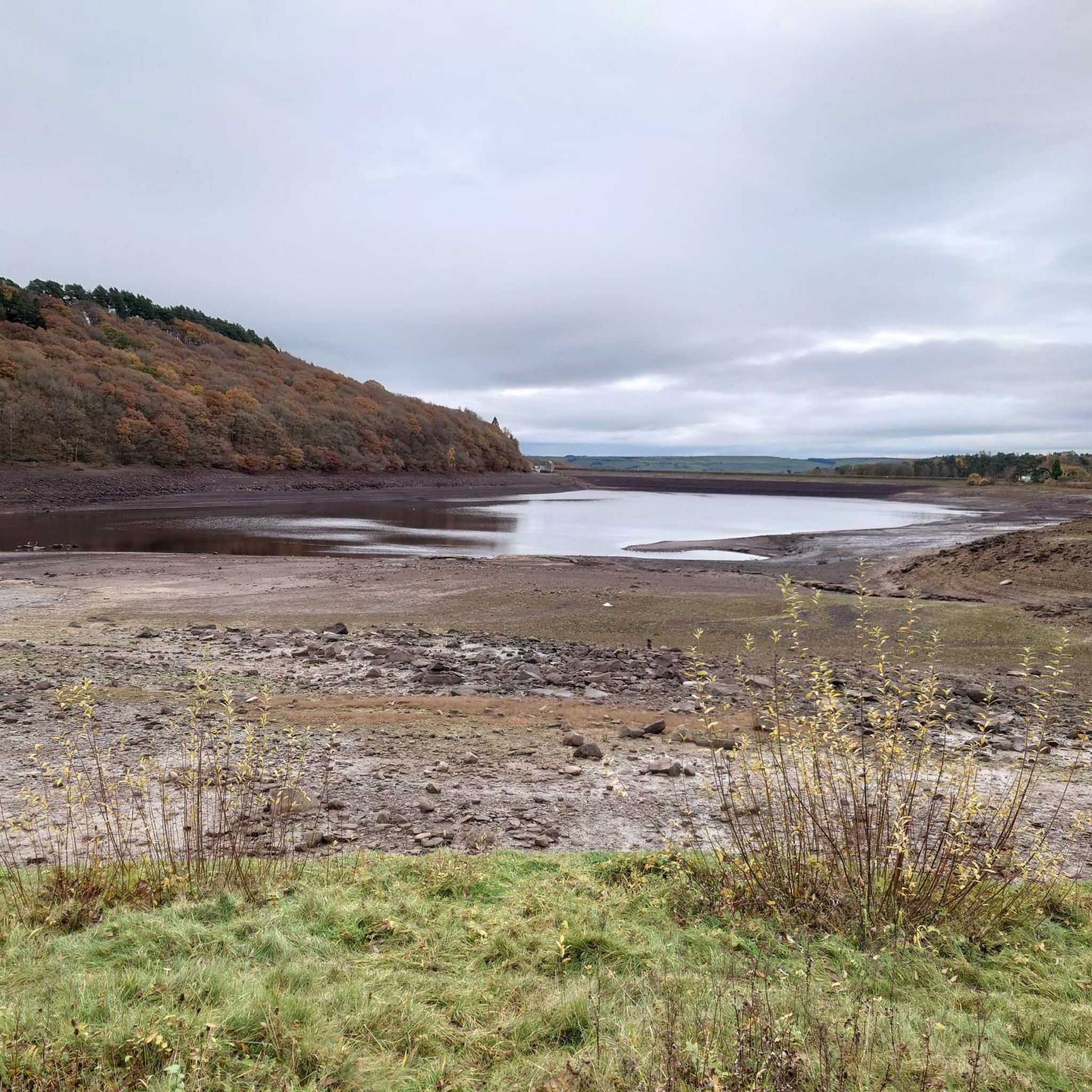
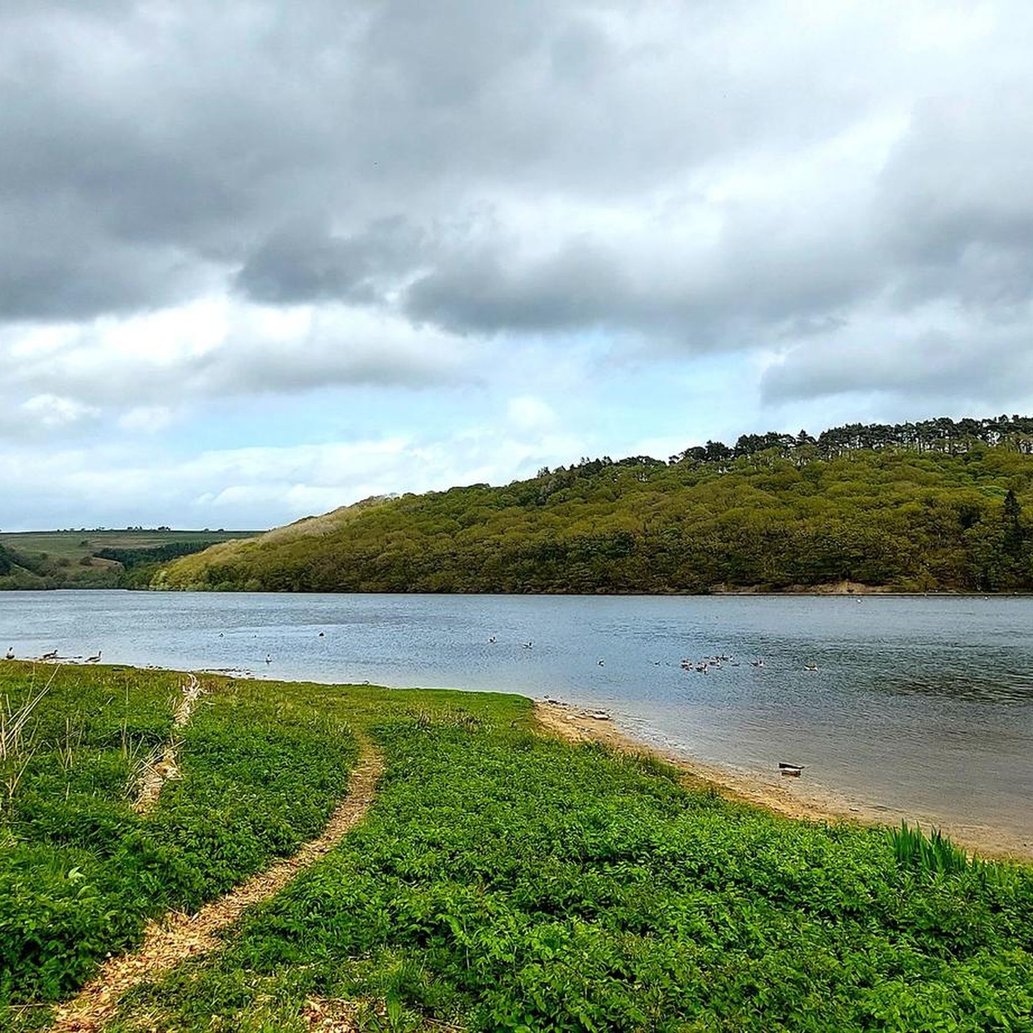
Gravel biking around Tunstall Reservoir offers routes through varied terrain, characterized by rolling hills, woodlands, and open moorland. The area features established paths that often follow former railway lines or forest tracks, providing a mix of surfaces suitable for gravel bikes. These routes provide views of the reservoir itself and the surrounding landscapes.
Best gravel bike trails around Tunstall Reservoir
- The most popular gravel bike trail is Climb to Polty's Last Blast – Hamsterley Forest Car Park loop from Wolsingham…
Last updated: July 2, 2026
23
riders
52.8km
04:01
1,110m
1,110m
Hard gravel ride. Very good fitness required. Mostly paved surfaces. Suitable for all skill levels.
3.0
(4)
51
riders
43.4km
02:22
370m
370m
Moderate gravel ride. Good fitness required. Mostly paved surfaces. Suitable for all skill levels.

Sign up for free
5.0
(1)
8
riders
38.9km
02:08
380m
380m
Moderate gravel ride. Good fitness required. Mostly paved surfaces. Suitable for all skill levels.
3
riders
61.5km
04:20
1,240m
1,240m
Hard gravel ride. Very good fitness required. Mostly paved surfaces. Suitable for all skill levels.
1
riders
30.4km
02:00
600m
600m
Hard gravel ride. Very good fitness required. Mostly paved surfaces. Suitable for all skill levels.
Our route recommendations are based on thousands of hikes, rides, and runs completed by other people on komoot.
Start today with a free account
Your next adventure awaits.
Login or Signup
Tips from the Community


Pikes teeth is a black section with (berm,drop,jump rock) can be very slippery
1
0
Start of the reds from Poltys
0
0

An easy track with techy bits like roots, sloping sides and a decent climb needing a bit of speed.
0
0

Rookhope is really interesting- but slowly dying. The arch is almost emblematic of that.
0
0


For fourteen years, in the mid-19th century, this building served as the railway station for the village of Waskerley. It was used for goods traffic for a little longer but eventually closed altogether in 1965.
1
0
Frequently Asked Questions
How many gravel bike trails are available around Tunstall Reservoir?
There are 7 gravel bike trails available around Tunstall Reservoir, offering a variety of experiences for different skill levels.
Are there any easy or beginner-friendly gravel bike routes in the area?
While many routes around Tunstall Reservoir are rated moderate to difficult, there are options that can be approached by beginners with some caution. The area's trails are generally characterized by rolling hills and varied surfaces, so even moderate routes require a reasonable fitness level. Currently, there are no routes explicitly listed as 'easy' in the provided data, but some moderate routes might be suitable for beginners looking for a challenge, such as View of Lanchester Valley – Deerness path loop from Consett or Deerness path – River Deerness loop from Tow Law.
What kind of terrain can I expect on gravel bike trails near Tunstall Reservoir?
The gravel bike trails around Tunstall Reservoir feature a diverse landscape, including woodlands, open moorland, and paths alongside the reservoir itself. You'll encounter rolling hills and a mix of surfaces, often following former railway lines or forest tracks.
Are there any family-friendly gravel biking options around Tunstall Reservoir?
For families, it's important to consider the difficulty and length of the routes. Many trails in this area are rated moderate to difficult, with significant elevation gain. If cycling with younger children, it's advisable to choose shorter sections of trails or look for routes specifically marked as easy or traffic-free, which may require local knowledge beyond the provided routes.
What is the best time of year to go gravel biking in Tunstall Reservoir?
The best time for gravel biking around Tunstall Reservoir is generally during the spring, summer, and early autumn months. During these seasons, the weather is typically milder, and the trails are less likely to be muddy or icy, making for more enjoyable riding conditions. Winter riding is possible but can be challenging due to colder temperatures and potentially wet or icy surfaces.
Are there any circular gravel bike routes available?
Yes, several routes around Tunstall Reservoir are designed as loops, allowing you to start and finish in the same location. Examples include Climb to Polty's Last Blast – Hamsterley Forest Car Park loop from Wolsingham and Road Into Rookhope – Blanchland Village loop from Healeyfield.
What are the typical lengths and durations of gravel bike trails in this region?
The gravel bike trails around Tunstall Reservoir vary in length and duration. You can expect routes ranging from approximately 24 miles (39 km) to over 38 miles (61 km). Durations can range from around 3 hours for moderate routes to nearly 5 hours for more difficult and longer trails, depending on your pace and fitness level.
What do other gravel bikers enjoy most about the trails around Tunstall Reservoir?
The area is highly rated by the komoot community, with an average score of 4.3 stars from more than 8 reviews. Reviewers often praise the varied terrain, which includes woodlands and open moorland, and the challenging nature of the routes with their significant elevation gains.
Are there any advanced or challenging gravel bike routes for experienced riders?
Yes, experienced gravel bikers will find several challenging routes around Tunstall Reservoir. Many of the trails are rated 'difficult' and feature substantial elevation gain. For example, Waskerley Station – Waskerley Way loop from Tow Law is a 38-mile route with over 1200 meters of climbing, offering a significant test for advanced riders.
Where can I find parking for gravel biking near Tunstall Reservoir?
While specific parking locations are not detailed for every route, many trails start from or pass through areas with public parking facilities, such as Hamsterley Forest Car Park (as mentioned in the route Climb to Polty's Last Blast – Hamsterley Forest Car Park loop from Wolsingham) or near villages like Wolsingham, Healeyfield, or Consett. It's always recommended to check local parking information for your chosen starting point before your ride.
Are there opportunities for cafe stops or refreshments along the gravel bike trails?
The routes often pass through or near small villages and towns, which may offer opportunities for cafe stops or places to refill water bottles. For instance, routes starting from or passing through Wolsingham, Blanchland Village, or Consett are likely to have amenities. Planning your route in advance and checking for services in these locations is advisable.
What makes gravel biking around Tunstall Reservoir unique compared to other areas like Kielder Forest?
Gravel biking around Tunstall Reservoir offers a distinct experience characterized by its blend of woodlands, open moorland, and reservoir views, often utilizing former railway lines. While Kielder Forest is known for its extensive network of forest trails, Tunstall Reservoir provides a more varied landscape with rolling hills and a mix of surfaces that can feel more remote and rugged in places, offering a different kind of challenge and scenic beauty.
Most popular routes around Tunstall Reservoir

Get inspired with the komoot mobile app


Explore more
Browse the best Gravel rides in other regions.
