The best cycling routes around Tunstall Reservoir
4.6
(52)
910
riders
42
rides
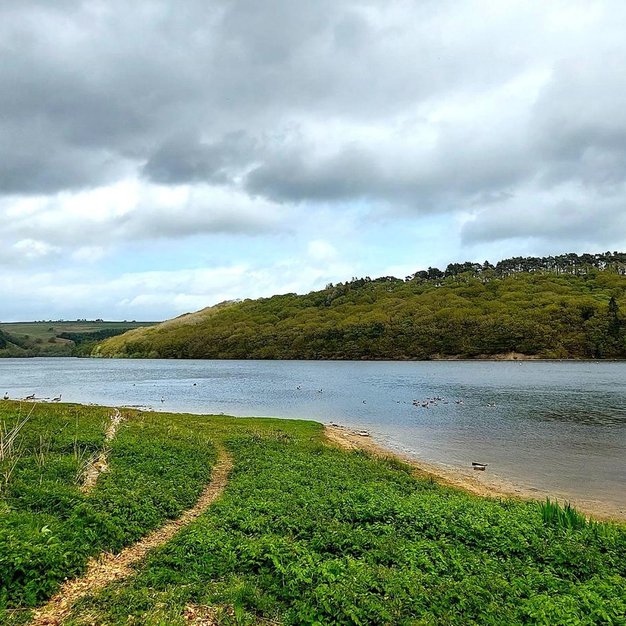
Touring cycling routes around Tunstall Reservoir navigate a landscape characterized by the reservoir itself, surrounded by fields, woodlands, and rolling countryside. The area features a mix of tranquil waterside paths and trails that connect to wider cycling networks, including former railway trackbeds. Elevations are generally moderate, with some routes offering more challenging climbs. The region provides diverse natural features, including species-rich woodlands and a dedicated nature reserve.
Best touring cycling routes around Tunstall Reservoir
- The most popular touring cycling route…
Last updated: June 26, 2026
5.0
(3)
4
riders
Moderate bike ride. Good fitness required. Mostly paved surfaces. Suitable for all skill levels.
4.5
(2)
158
riders
36.7km
03:27
870m
870m
Hard bike ride. Very good fitness required. Mostly paved surfaces. Suitable for all skill levels.

Sign up for free
51
riders
36.0km
03:25
750m
750m
Hard bike ride. Very good fitness required. Mostly paved surfaces. Suitable for all skill levels.
5.0
(4)
19
riders
54.1km
03:18
450m
450m
Moderate bike ride. Good fitness required. Mostly paved surfaces. Suitable for all skill levels.
5.0
(1)
10
riders
62.8km
04:10
860m
860m
Hard bike ride. Very good fitness required. Mostly paved surfaces. Suitable for all skill levels.
Get access to more routes and recommendations from other explorers.
Sign up for free
Already have an account?
Our route recommendations are based on thousands of hikes, rides, and runs completed by other people on komoot.
Start today with a free account
Your next adventure awaits.
Login or Signup
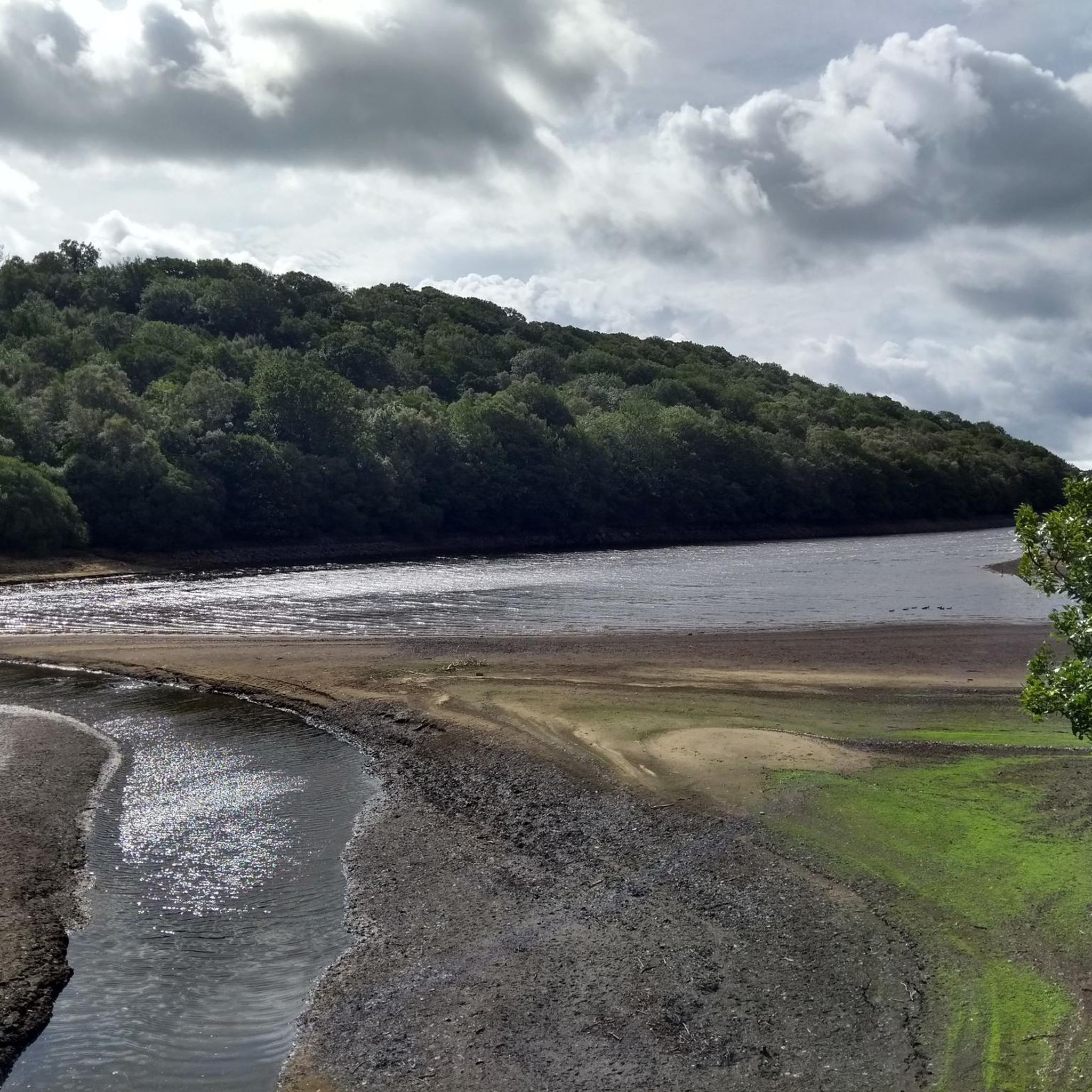
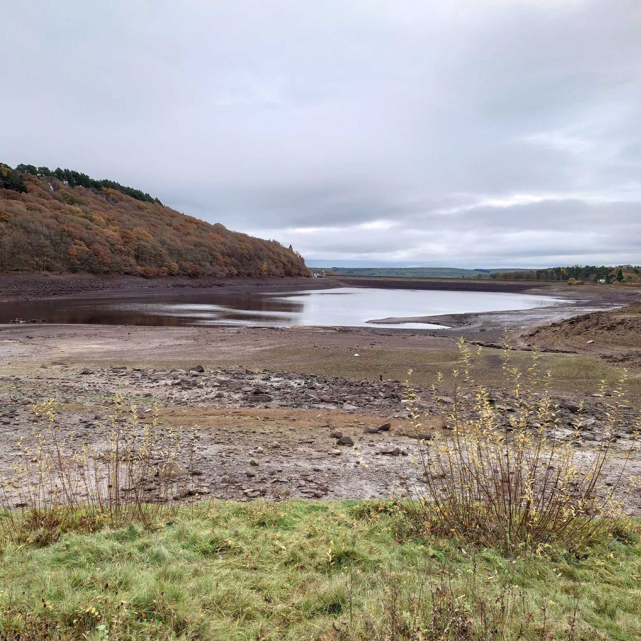
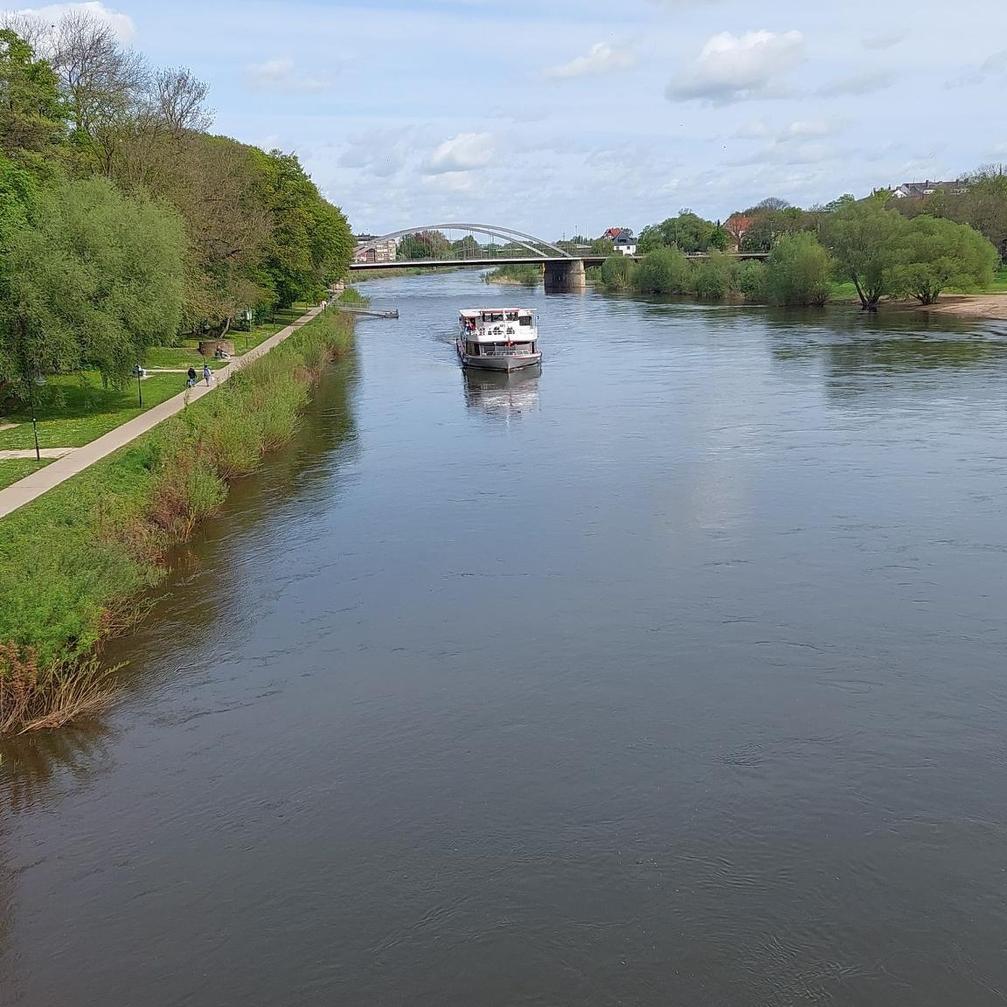
Tips from the Community


From Hownsgill Viaduct you can see for miles around whilst standing on the old railway bridge. The actual bridge has elevated side wall protector barriers, this to stop anything going over the side, the drop below is considerably higher than a house. There were high winds on the bridge on the day I rode over, the barriers also protect from the weather. You get very good views over both sides of the bridge.
0
0

Viaduct is now open, the paving is slightly bumpy though!
0
0


Pikes teeth is a black section with (berm,drop,jump rock) can be very slippery
1
0


For fourteen years, in the mid-19th century, this building served as the railway station for the village of Waskerley. It was used for goods traffic for a little longer but eventually closed altogether in 1965.
1
0

I drove down this former railway line from the top with the wind at my back. What a great experience and easy way to move quickly through the landscape.
1
0
Frequently Asked Questions
How many touring cycling routes are available around Tunstall Reservoir?
There are over 40 touring cycling routes around Tunstall Reservoir, offering a diverse range of experiences. These routes are highly rated by the komoot community, with an average score of 4.6 stars.
What kind of terrain can I expect on touring cycling routes in the Tunstall Reservoir area?
The terrain around Tunstall Reservoir varies, featuring tranquil waterside paths, species-rich woodlands, and rolling countryside. Many routes utilize former railway trackbeds, such as sections of the Waskerley Way, which offer relatively flat and accessible cycling. For those seeking more challenge, some routes include significant climbs, like those found on the wider Coast to Coast (C2C) network.
Are there easy touring cycling routes suitable for families or beginners?
Yes, there are easy touring cycling routes around Tunstall Reservoir, with 3 routes specifically categorized as easy. These often feature mostly paved surfaces and gentler gradients, making them suitable for families and beginners. The path directly around the reservoir is also a pleasant, shorter option.
What are some challenging touring cycling routes for experienced cyclists?
For experienced cyclists seeking a challenge, there are 27 difficult routes in the area. One such route is the Cragg Wood Singletrack – Pooh Stick Bridge loop from Wolsingham, which covers 36.7 km with significant elevation changes. Another demanding option is the Waskerley Way – Consett to Waskerley Cycleway loop from Wolsingham, a 62.8 km trail that includes sections of former railway trackbeds and challenging terrain.
What natural features and landmarks can I see while cycling around Tunstall Reservoir?
While cycling, you can enjoy views of the reservoir itself, surrounded by fields and woodlands. The area is known for its species-rich woodland, especially on the eastern side, and a dedicated nature reserve at the northern end, offering opportunities for wildlife spotting. You might also see the historic dam, an engineering marvel from the 1870s, and enjoy panoramic views from higher points like Salter's Gate.
Are there circular touring cycling routes around Tunstall Reservoir?
Yes, there are several circular touring cycling routes available. The path directly around Tunstall Reservoir offers a pleasant, shorter loop. More extensive circular options, such as the Lanchester Valley Way – View of Lanchester Valley loop from Sand Edge Common, provide varied terrain through farmland, forest tracks, and quiet roads, allowing you to start and finish in the same location.
What is the best time of year to go touring cycling in Tunstall Reservoir?
The Tunstall Reservoir area is enjoyable for touring cycling throughout much of the year. Spring and autumn offer pleasant temperatures and beautiful scenery with changing foliage. Summer provides longer daylight hours, while winter can be picturesque but may require more caution due to potential ice or snow on higher routes. Always check local weather conditions before heading out.
Are there places to eat or drink near the cycling routes?
Yes, the nearby village of Wolsingham provides amenities such as pubs and cafes, which are convenient for post-ride refreshments or meals. There are also picnic areas available near the car park and around the reservoir for those who prefer to bring their own food.
Is there parking available for cyclists at Tunstall Reservoir?
Yes, parking facilities are available at Tunstall Reservoir, often with convenient access to the cycling routes and picnic areas. It's advisable to check specific car park locations and any potential fees before your visit.
What do other touring cyclists enjoy most about the Tunstall Reservoir area?
The area is highly rated by the komoot community, with an average score of 4.6 stars from over 40 reviews. Reviewers often praise the tranquil reservoir paths, the species-rich woodlands, and the accessibility of former railway trackbeds like the Waskerley Way, which offer varied and enjoyable cycling experiences.
Can I combine cycling with other activities in the Tunstall Reservoir area?
Absolutely. Beyond cycling, the Tunstall Reservoir area is excellent for wildlife observation, with opportunities to spot various bird species and butterflies. The reservoir also supports fishing activities. The surrounding natural beauty makes it ideal for picnics and enjoying the outdoors.
Are there any routes that connect to wider cycling networks?
Yes, Tunstall Reservoir is well-integrated into broader cycling networks. The Waskerley Way, which is part of the Coast to Coast (C2C) cycle route (Sustrans Route 7), passes near the reservoir, offering connections to a wider range of cycling adventures. The Cross Keys – Brotherlee loop from Wolsingham is another route that explores the wider area.
Most popular routes around Tunstall Reservoir

Get inspired with the komoot mobile app


Explore more
Browse the best Cycling routes in other regions.
