The best gravel rides around Nationalpark Hohe Tauern
4.6
(42)
511
riders
22
rides
Gravel biking around Nationalpark Hohe Tauern offers routes through Austria's largest national park, characterized by a dramatic Alpine landscape. The region features extensive glacial areas, numerous peaks exceeding three thousand meters, and a network of rivers, glacial streams, and mountain lakes. Riders encounter diverse ecosystems ranging from thick forests in lower elevations to alpine meadows and high-altitude terrain. The varied topography provides a mix of valley routes and challenging climbs on well-maintained gravel roads.
Best gravel bike trails around Nationalpark Hohe Tauern
- The most popular gravel bike trail is Mallnitz Village Center – Jamnigalm (1,748 m) loop from Mallnitz-Obervellach, a 12.2 miles (19.6 km) trail that takes 1 hour 57 minutes to complete. This difficult route features significant elevation gain through alpine terrain.
- Another top favourite among local gravel bikers is Magnificent view – Hochtor loop from Fusch an der Großglocknerstraße, a difficult 28.4 miles (45.8 km) path. This route traverses high alpine passes, offering expansive panoramic views.
- Local gravel bikers also love the Bad Gastein Waterfall – Scenic view of Bad Gastein loop from Böckstein, a 20.9 miles (33.7 km) trail leading through valleys and past waterfalls, often completed in about 2 hours 11 minutes.
- Gravel biking around Nationalpark Hohe Tauern is defined by towering peaks, glacial valleys, and diverse forests. The network offers options for different ability levels, from valley routes to demanding alpine climbs.
- The routes in Nationalpark Hohe Tauern are highly rated by the komoot community with an average score of 4.7 stars from more than 50 reviews. More than 500 gravel bikers have used komoot to explore Nationalpark Hohe Tauern's varied terrain.
Last updated: July 2, 2026
6
riders
26.4km
02:19
1,040m
1,040m
Hard gravel ride. Very good fitness required. Mostly paved surfaces. Suitable for all skill levels.
4.8
(13)
133
riders
45.8km
05:11
2,070m
2,070m
Hard gravel ride. Very good fitness required. You may need to push your bike for some segments of this route.

Sign up for free
3.5
(2)
25
riders
33.4km
02:09
570m
570m
Hard gravel ride. Very good fitness required. Mostly paved surfaces. Suitable for all skill levels.
5.0
(1)
50
riders
Hard gravel ride. Very good fitness required. Mostly paved surfaces. Suitable for all skill levels.
5.0
(5)
16
riders
33.0km
02:30
880m
880m
Hard gravel ride. Very good fitness required. Mostly paved surfaces. Suitable for all skill levels.
Get access to more routes and recommendations from other explorers.
Sign up for free
Already have an account?
Our route recommendations are based on thousands of hikes, rides, and runs completed by other people on komoot.
Start today with a free account
Your next adventure awaits.
Login or Signup
Popular around Nationalpark Hohe Tauern
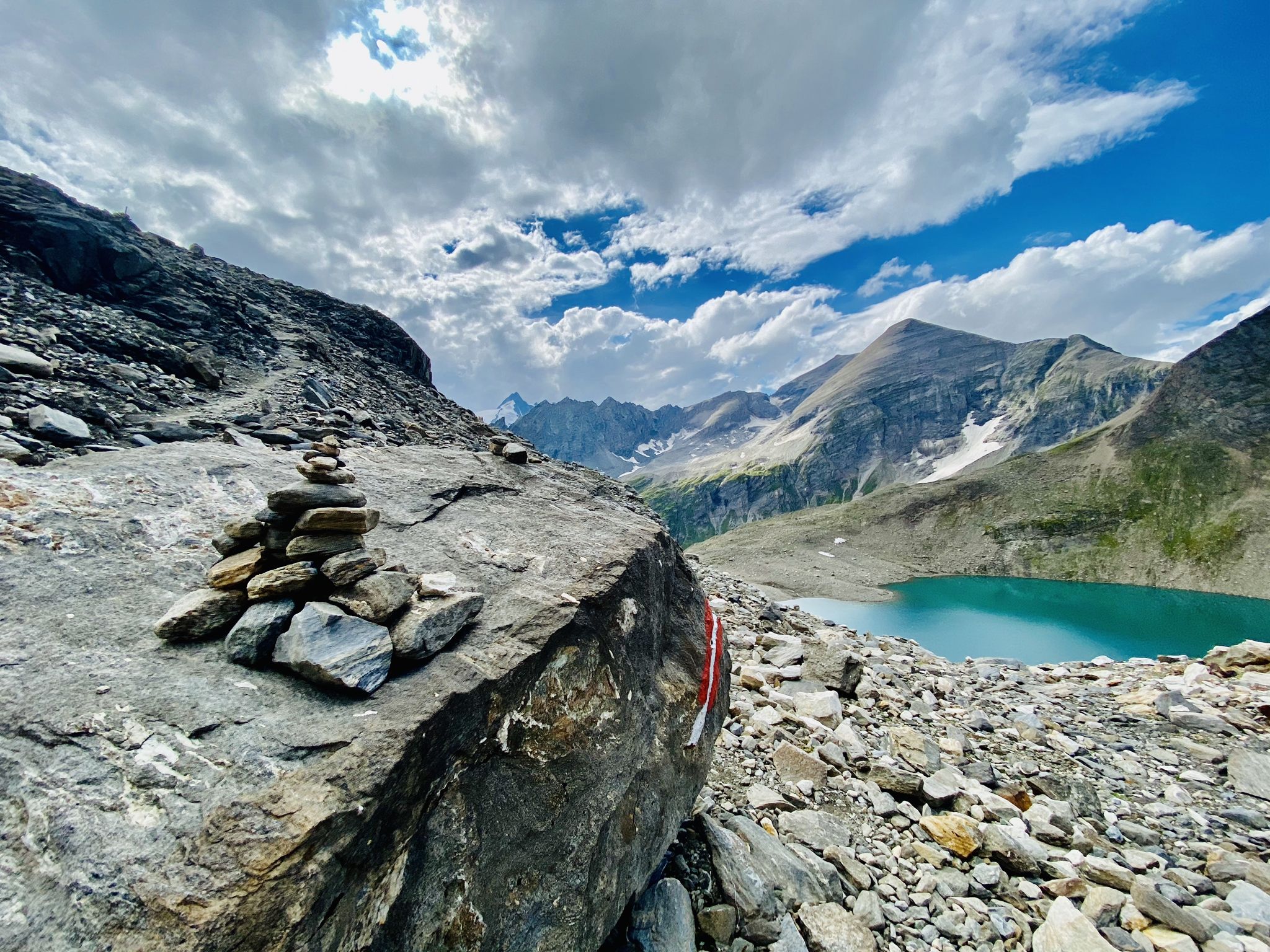
The Tauernhöhenweg – Once across the Hohe Tauern

Ruperti Trail – Hike from Austria's Bohemian Forest to the Carnic Alps
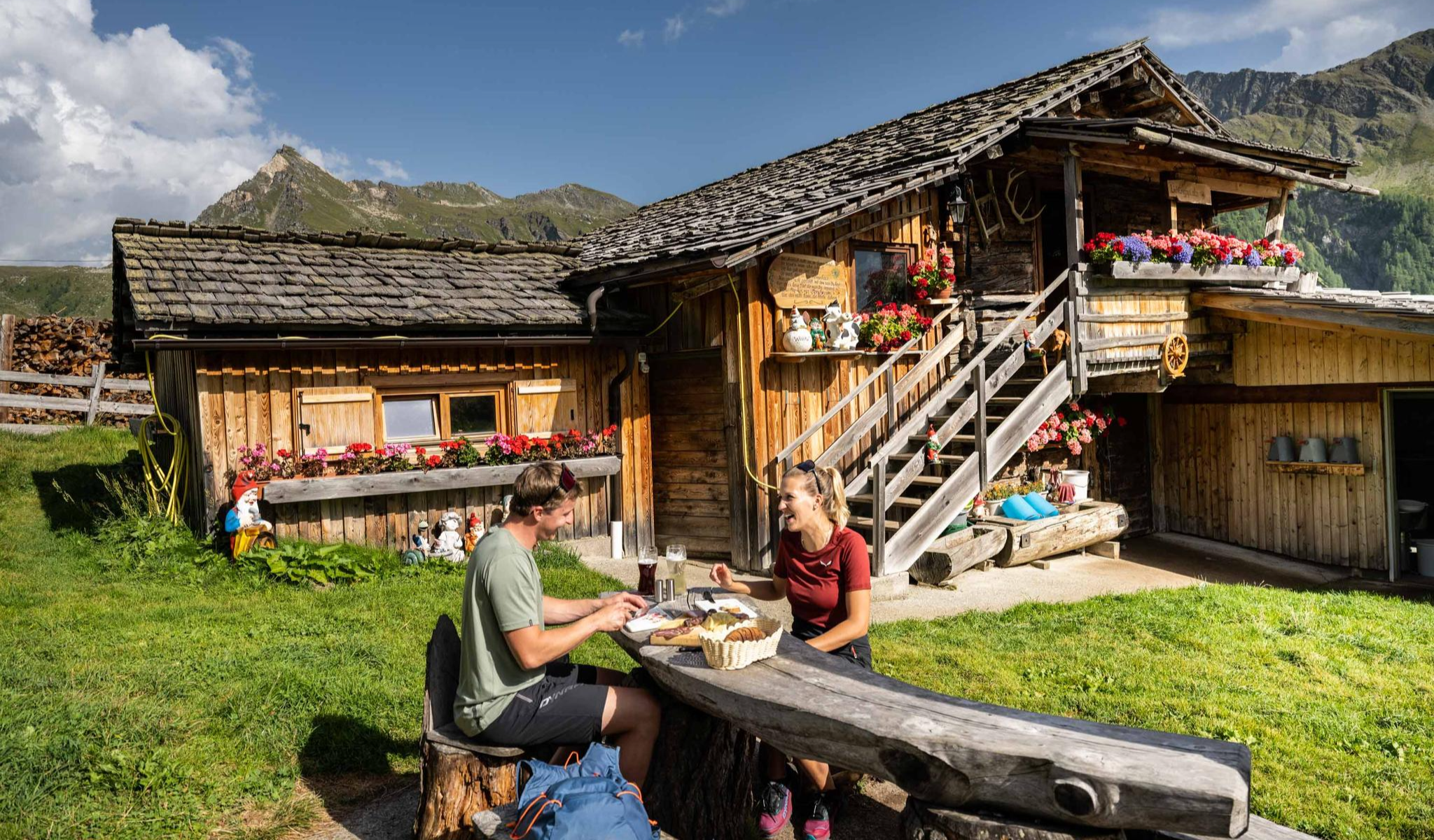
Peak happiness – hut hikes in the High Tauern
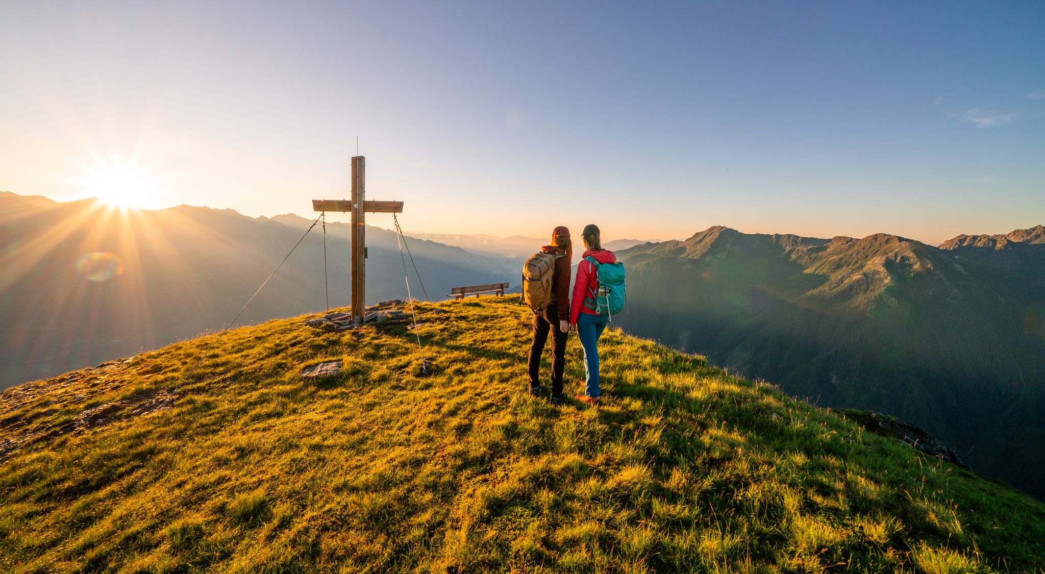
Your time out – long-distance hiking trails in the High Tauern
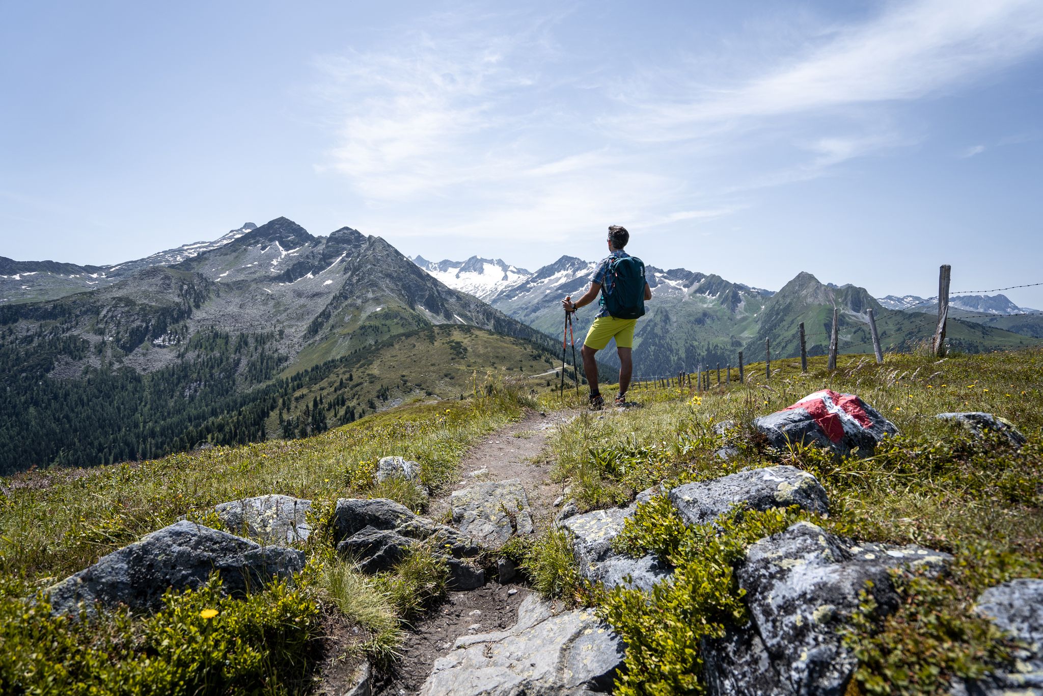
Best views of the highest mountains — Hohe Tauern Panorama Trail

An alpine adventure – from east to west through Austria
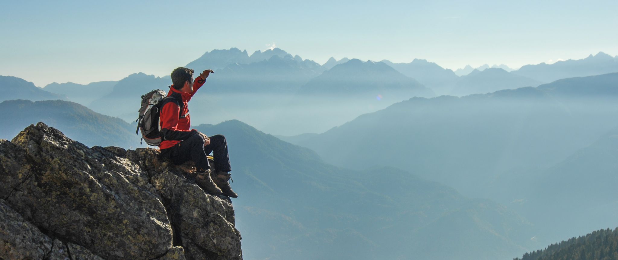
Peaks and gorges in the Hohe Tauern
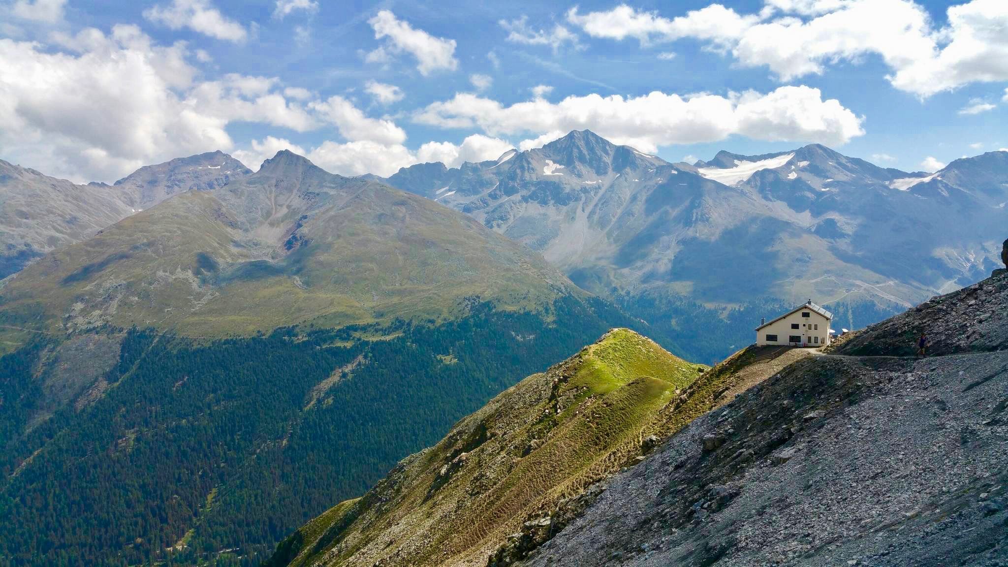
Huts with fantastic views
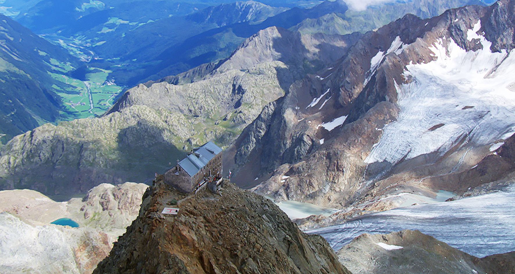
Sleep above 3000 meters
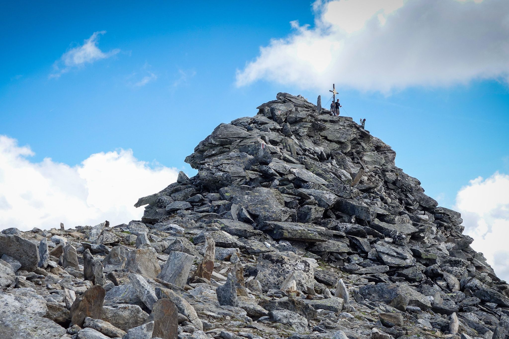
Your first 3000m peak
Other adventures around Nationalpark Hohe Tauern


Tips from the Community

Sporty climb, definitely an extra 80m altitude in the village.
3
0
Bad Gastein combines a glamorous character with morbid building substance, somehow interestingly combined. You can see that some buildings are being renovated, no comparison to 10-15 years ago.
2
0
Tosender waterfall, very impressive, and right in the middle of town.
2
0

The first 5.5 km from Bad Hofgastein Thermenzentrum go along the promenade on a nice and flat gravel path.
0
0

Ok the reel deal here it’s ! You only can buy ticket the same day in person . There’s a little box with people who sell the ticket for the car , you go there with your bike ! And for the off season people like myself ! You can take your buy any time of the year. It’s 12€ as today November 2025. So: no need to do the climb the day before to be sure to have a ticket like myself 😅
1
0

The views here are beautiful, and it's truly a fantastic region for biking.
0
0

The bike path from Mallnitz to Möllbrücke is well signposted! Some sections require chunkier tires! 🚵♂️
2
0

Frequently Asked Questions
What kind of terrain can I expect on gravel bike trails in Nationalpark Hohe Tauern?
The Nationalpark Hohe Tauern offers a diverse Alpine landscape for gravel biking. You'll find a mix of well-maintained gravel roads, some single trails, and routes ranging from leisurely valley rides to demanding climbs over high plateaus and alpine passes. Expect varied topography with extensive glacial areas, towering peaks, and diverse ecosystems from forests to alpine meadows.
Are there any easy or beginner-friendly gravel routes in the Nationalpark Hohe Tauern?
While many routes in the Nationalpark Hohe Tauern are classified as difficult, there are options for varying skill levels. The region's extensive trail network includes family-friendly routes through valleys, such as sections of the Tauern Cycle Path. For a challenging but rewarding experience, consider routes like the Mallnitz Village Center – Jamnigalm loop, which offers significant elevation gain in alpine terrain.
What natural features or landmarks can I see while gravel biking in the Nationalpark Hohe Tauern?
The park is rich in natural beauty. You can encounter impressive waterfalls, such as the Valley of Waterfalls or the Schleier Waterfall. Other notable features include secluded mountain lakes like Stappitzer Lake and Palfnersee, as well as majestic summits like Ankogel Summit and Hüttenkogel Summit. Routes often follow roaring glacial streams and pass through diverse forests.
Are there any circular gravel bike routes available?
Yes, many of the gravel bike routes in Nationalpark Hohe Tauern are designed as loops. For example, the Magnificent view – Hochtor loop from Fusch an der Großglocknerstraße offers a challenging circular path traversing high alpine passes. Another option is the Bad Gastein Waterfall – Scenic view of Bad Gastein loop from Böckstein, which leads through valleys and past waterfalls.
What is the best time of year for gravel biking in Nationalpark Hohe Tauern?
The best time for gravel biking in Nationalpark Hohe Tauern is generally from late spring to early autumn. During these months, the weather is more stable, and most trails, especially those at higher altitudes, are free of snow. Always check local weather forecasts and trail conditions before heading out, as alpine weather can change rapidly.
How many gravel bike trails are there in Nationalpark Hohe Tauern?
There are over 25 gravel bike trails documented in the Nationalpark Hohe Tauern region on komoot, with the majority being classified as difficult. This extensive network provides numerous options for exploration across its diverse landscapes.
What do other gravel bikers enjoy most about gravel biking in Nationalpark Hohe Tauern?
The area is highly rated by the komoot community, with an average score of 4.7 stars from more than 50 reviews. Reviewers often praise the breathtaking panoramic views, the challenging yet rewarding alpine terrain, and the opportunity to experience the pristine natural environment of Austria's largest national park. Many appreciate the well-maintained gravel roads and the diverse ecosystems encountered along the way.
Can I bring my dog on the gravel bike trails?
While the Nationalpark Hohe Tauern is a protected area, specific regulations regarding dogs on trails can vary. It's generally advisable to keep dogs on a leash to protect wildlife and ensure the safety of other trail users. Always check local signage and park rules for the specific trail you plan to ride. Some areas may have restrictions during certain seasons, especially near sensitive wildlife habitats.
Are there any routes that pass by waterfalls?
Yes, several routes offer views of impressive waterfalls. The Bad Gastein Waterfall – Scenic view of Bad Gastein loop from Böckstein is a prime example, leading directly past the Bad Gastein Waterfall. You can also explore highlights like the Valley of Waterfalls or the Schleier Waterfall, which are accessible from various points within the park.
What are the typical durations for gravel bike tours in this region?
Tour durations vary significantly based on distance, elevation, and your fitness level. For instance, the Mallnitz Village Center – Jamnigalm loop typically takes around 2 hours, while the more extensive Magnificent view – Hochtor loop can take over 5 hours due to its significant elevation gain and distance. It's always best to check the estimated duration for each specific route on komoot and factor in your own pace.
Is public transport available to access gravel bike trails in Nationalpark Hohe Tauern?
Yes, public transport options are available to reach various starting points for trails within the Nationalpark Hohe Tauern region. Many valleys and towns, such as Mallnitz-Obervellach or Fusch an der Großglocknerstraße, are served by regional buses or trains. For detailed information on routes and schedules, it's recommended to consult local transport providers or the official National Park website: nationalpark.at.
Are there specific routes known for wildlife viewing opportunities?
The Nationalpark Hohe Tauern is home to diverse wildlife, including the 'Big 5' (ibex, chamois, marmot, golden eagle, and bearded vulture). While wildlife sightings are never guaranteed, routes that traverse varied ecosystems, from forests to alpine meadows, offer the best chances. Early morning or late afternoon rides often increase the likelihood of encountering animals. Remember to maintain a respectful distance and observe from afar.
Most popular routes around Nationalpark Hohe Tauern
Most popular attractions around Nationalpark Hohe Tauern

Get inspired with the komoot mobile app


Explore more
Browse the best Gravel rides in other regions.
