The best MTB trails around Nationalpark Hohe Tauern
4.6
(3465)
17,236
riders
217
rides
Mountain biking around Nationalpark Hohe Tauern offers diverse terrain within Austria's largest national park, spanning Salzburg, Tyrol, and Carinthia. The region features extensive high-mountain scenery, including over 300 peaks exceeding 3,000 meters, and significant glacial areas. Mountain bikers can navigate through alpine grasslands, dense mountain forests, and along roaring glacial streams. The landscape provides a varied network of routes suitable for different skill levels.
Best mountain bike trails around Nationalpark Hohe Tauern
- The most popular mountain bike trail is To…
Last updated: July 8, 2026
4.0
(1)
15
riders
7.55km
01:45
450m
450m
Moderate mountain bike ride. Good fitness required. Suitable for all skill levels.
5.0
(19)
110
riders
69.0km
06:59
2,870m
2,870m
Hard mountain bike ride. Very good fitness required. Advanced riding skills necessary. Some portions of the route may require you to push your bike.

Sign up for free
4.9
(24)
136
riders
31.9km
02:46
550m
550m
Moderate mountain bike ride. Good fitness required. Suitable for all skill levels.
4.0
(1)
10
riders
Easy mountain bike ride. Great for any fitness level. Suitable for all skill levels.
4.5
(4)
57
riders
80.5km
07:16
2,000m
2,000m
Hard mountain bike ride. Very good fitness required. Advanced riding skills necessary. Some portions of the route may require you to push your bike.
Get access to more routes and recommendations from other explorers.
Sign up for free
Already have an account?
Our route recommendations are based on thousands of hikes, rides, and runs completed by other people on komoot.
Start today with a free account
Your next adventure awaits.
Login or Signup
Popular around Nationalpark Hohe Tauern
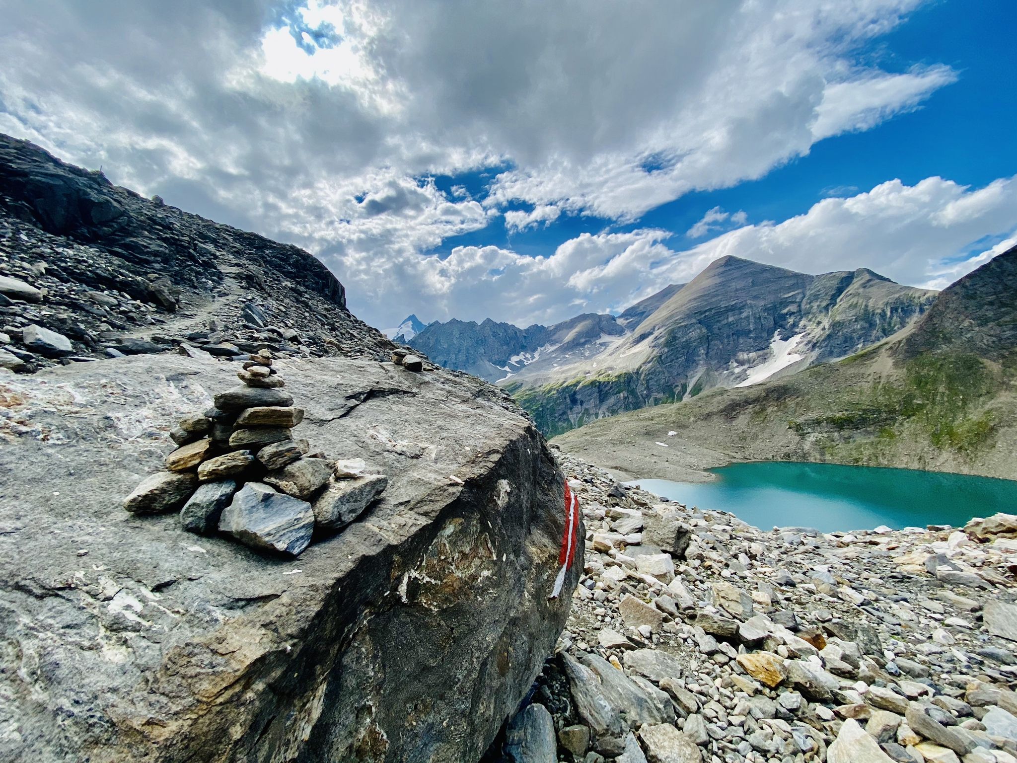
The Tauernhöhenweg – Once across the Hohe Tauern

Ruperti Trail – Hike from Austria's Bohemian Forest to the Carnic Alps
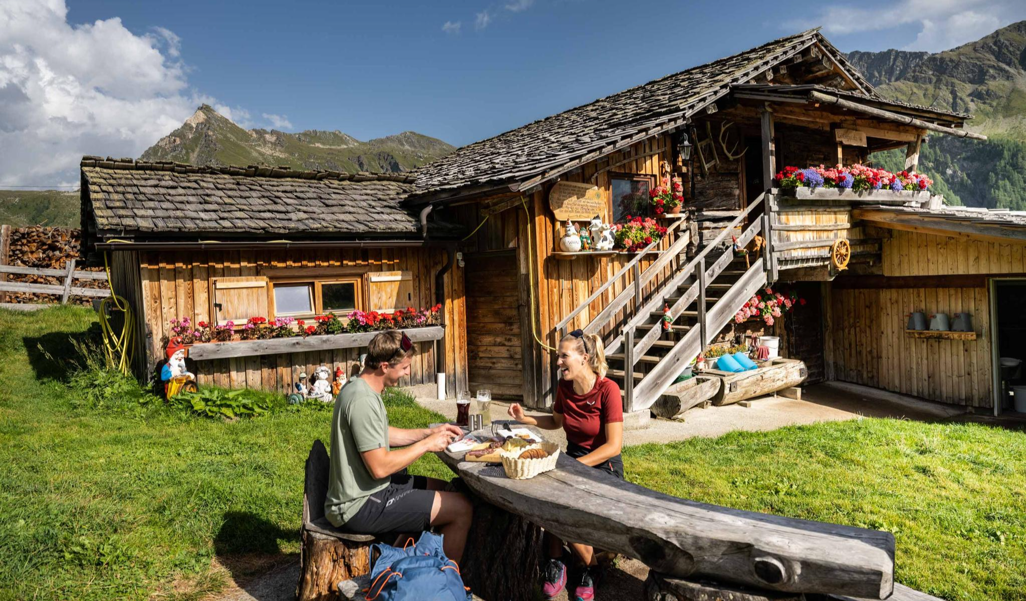
Peak happiness – hut hikes in the High Tauern
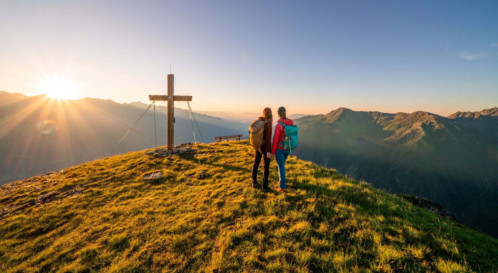
Your time out – long-distance hiking trails in the High Tauern
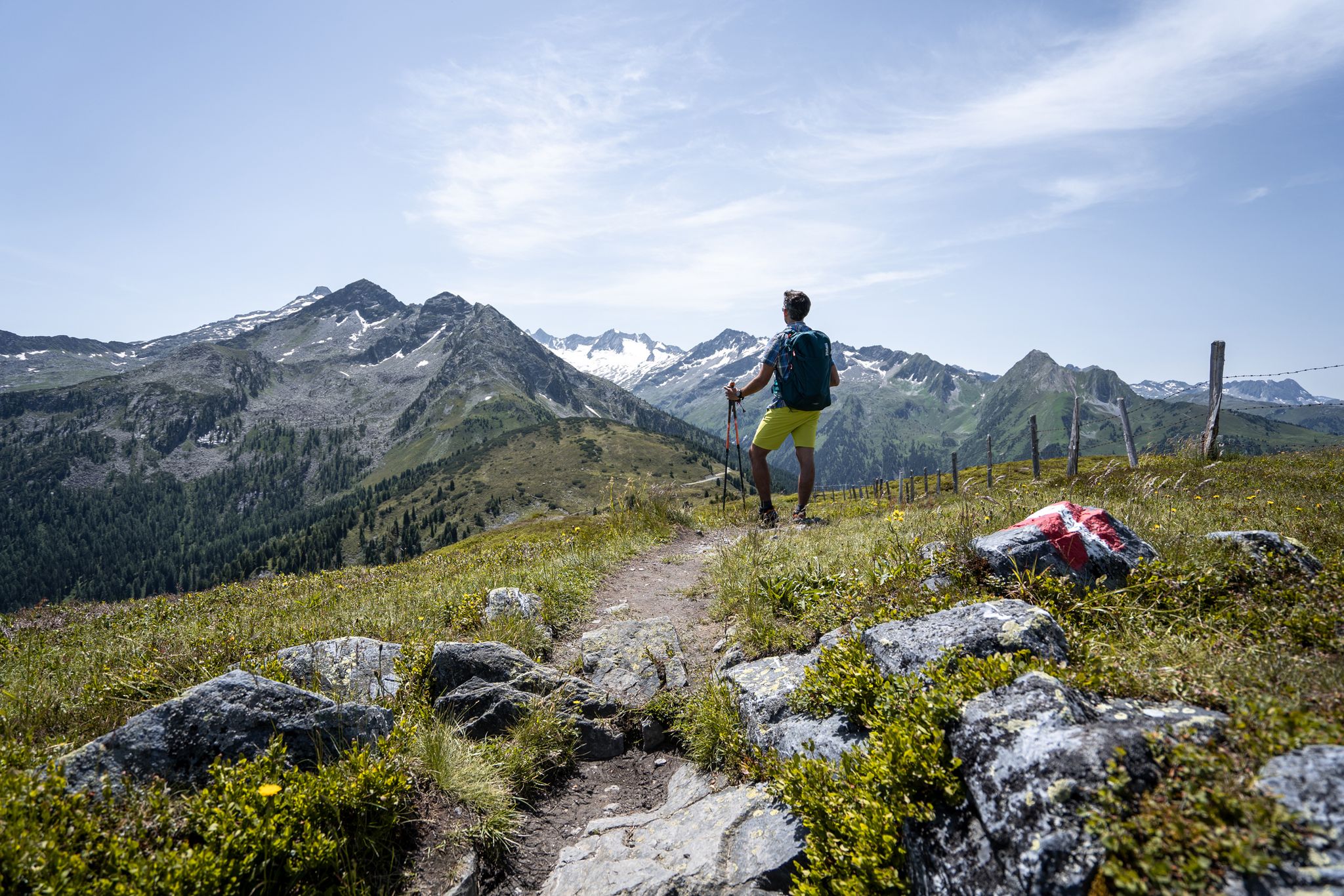
Best views of the highest mountains — Hohe Tauern Panorama Trail

An alpine adventure – from east to west through Austria
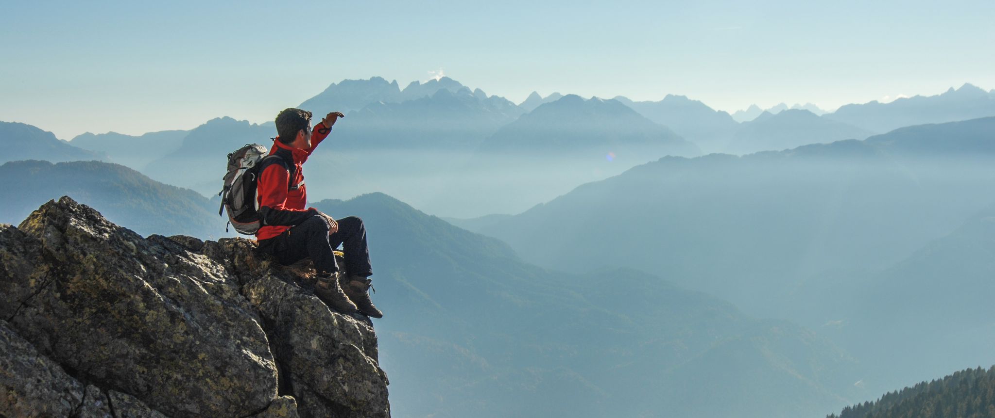
Peaks and gorges in the Hohe Tauern
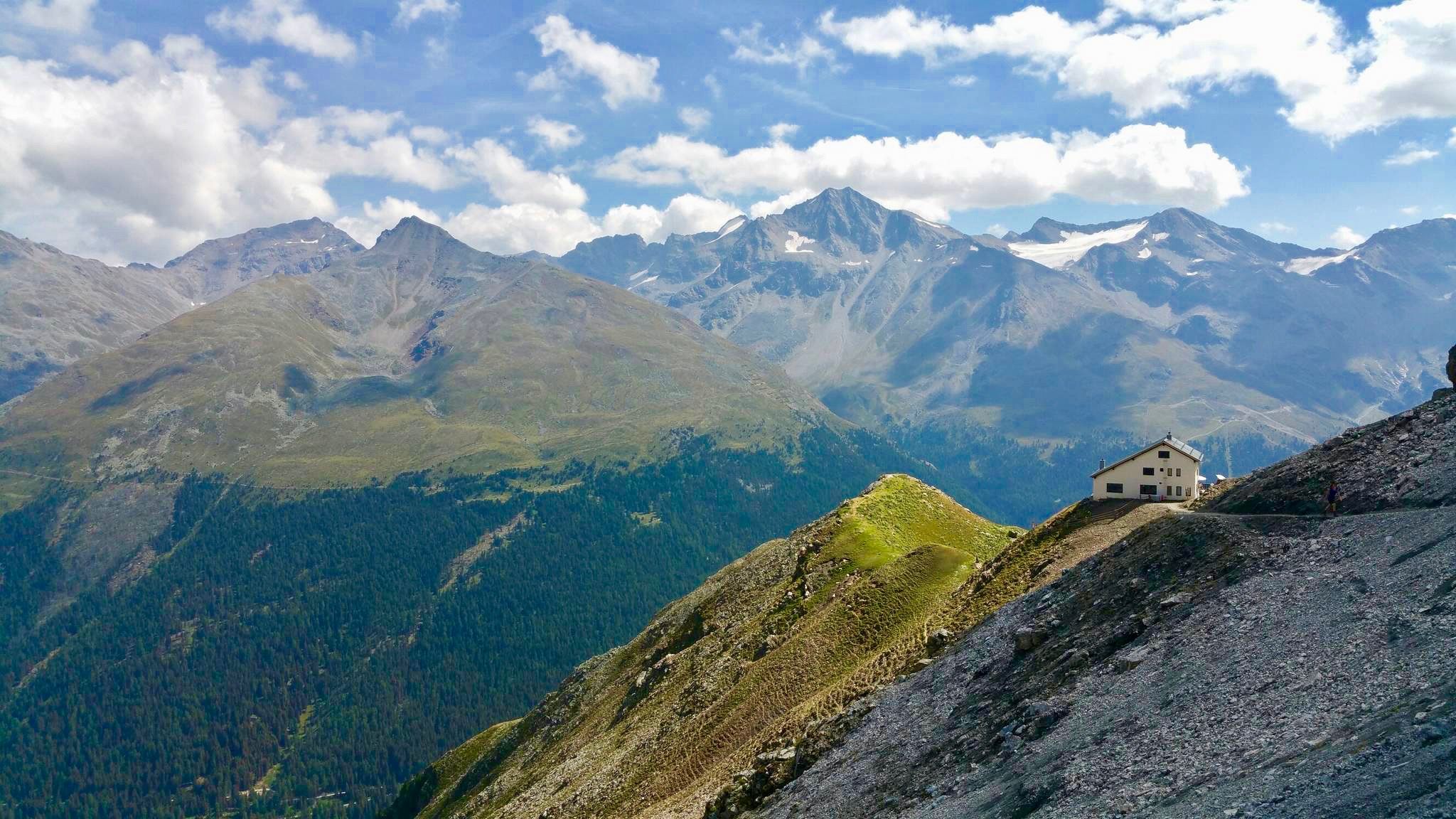
Huts with fantastic views
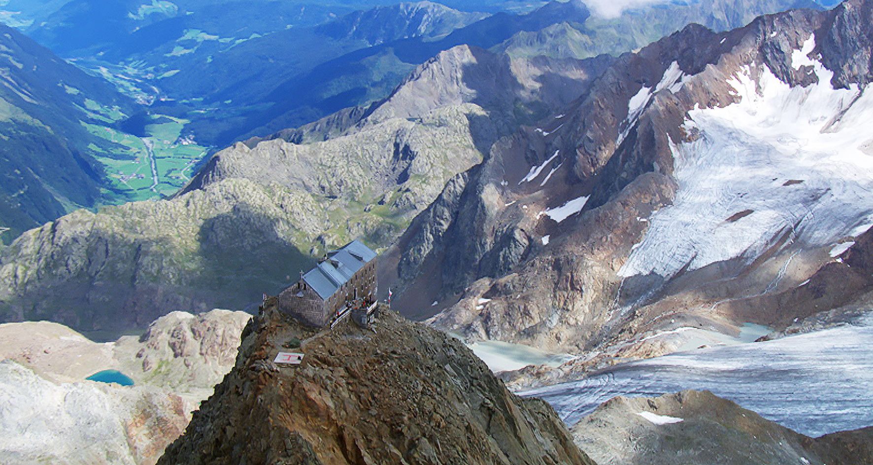
Sleep above 3000 meters
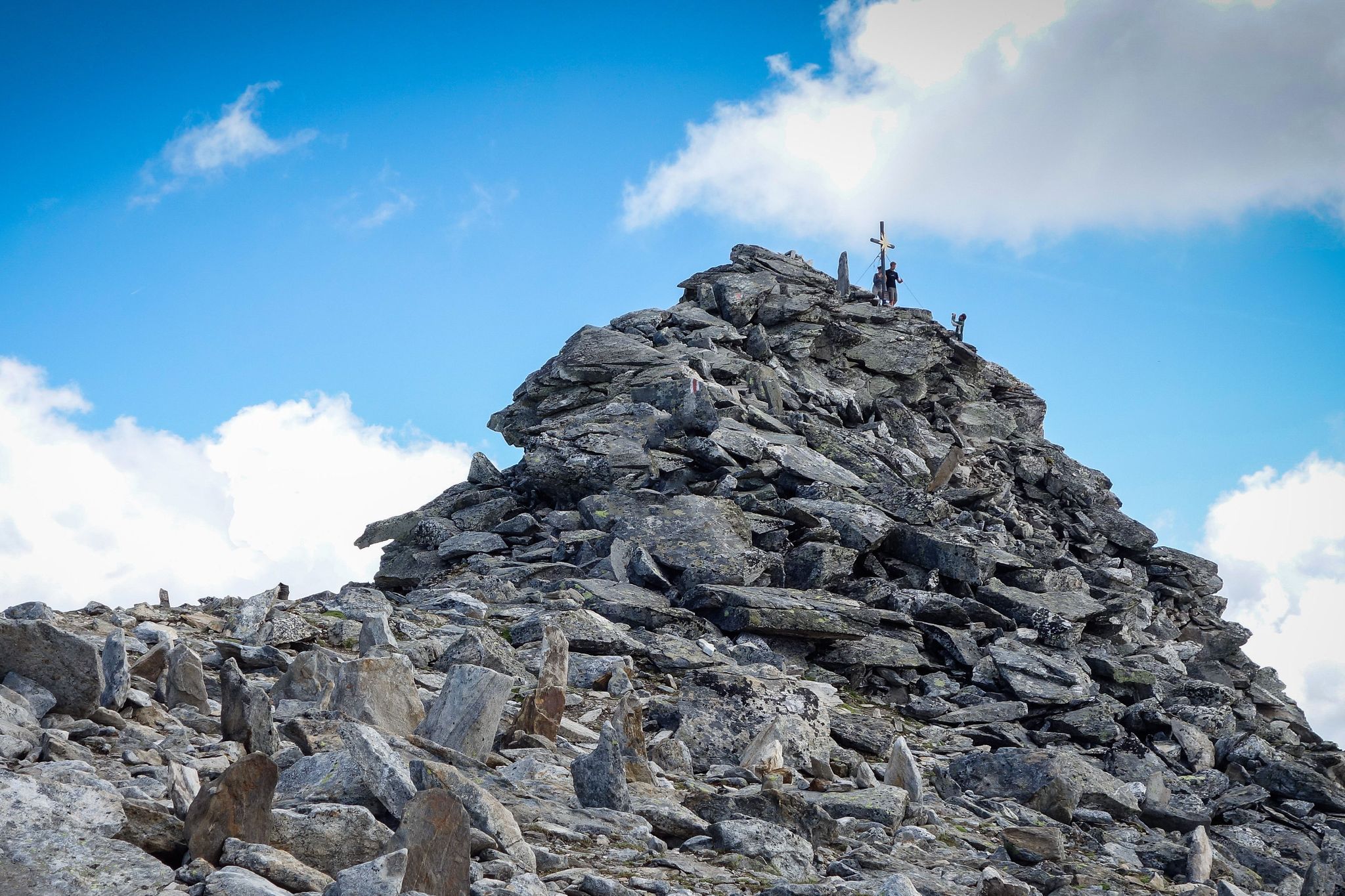
Your first 3000m peak
Other adventures around Nationalpark Hohe Tauern


Tips from the Community

If there's a waterfall nearby, it attracts us, and this time it was a highlight too, absolutely beautiful.
2
0


Ok the reel deal here it’s ! You only can buy ticket the same day in person . There’s a little box with people who sell the ticket for the car , you go there with your bike ! And for the off season people like myself ! You can take your buy any time of the year. It’s 12€ as today November 2025. So: no need to do the climb the day before to be sure to have a ticket like myself 😅
1
0


The bike path from Mallnitz to Möllbrücke is well signposted! Some sections require chunkier tires! 🚵♂️
2
0

A very beautiful, traditional alpine hut (see photos) with friendly hosts. Very picturesque, with a small playground for the kids. I was there very early (with the gravel bike) and still managed to get a coffee and the freshly baked apricot cake 🍽
0
0

Very irregular opening hours. Almost completely closed in July. Parking in front of the building is not permitted.
0
0

Frequently Asked Questions
How many mountain bike trails are available in Nationalpark Hohe Tauern, and what are their difficulty levels?
Nationalpark Hohe Tauern offers an extensive network of over 200 mountain bike routes. These are categorized into three difficulty levels: approximately 40 easy (blue) routes, nearly 100 moderate (red) routes, and around 80 difficult (black) routes, ensuring options for all skill levels.
Are there mountain bike trails suitable for beginners or families in Nationalpark Hohe Tauern?
Yes, the region provides numerous easy (blue) routes, which are less demanding and ideal for beginners or families. These trails typically feature wide paths with good conditions and gradients up to 11%. An example of a moderate route that families might enjoy is To the Kreealmen in Hüttschlag – MTB in the Grossarl Valley, which climbs through the scenic Grossarl Valley.
What options are available for experienced mountain bikers seeking a challenge?
Experienced mountain bikers will find around 80 difficult (black) routes in Nationalpark Hohe Tauern. These trails are designed for excellent riding technique, featuring very rough ground, technical sections, tight curves, and gradients exceeding 15%. A challenging option is the Hochtor Pass Summit (2,504 m) – Trauneralm loop from Ferleiten, which includes significant elevation gain and panoramic views.
What natural features can I expect to see while mountain biking in Nationalpark Hohe Tauern?
The park is renowned for its high-mountain scenery, featuring the largest glacial areas of the Eastern Alps, over 300 peaks exceeding 3,000 meters (including the Grossglockner), and breathtaking waterfalls like the Krimml Waterfalls. You'll also encounter secluded mountain lakes, roaring glacial streams, and diverse ecosystems from mountain forests to alpine grasslands.
Are there any notable attractions or landmarks along the mountain bike trails?
Yes, the region is rich in natural and cultural landmarks. You might encounter the Krumltal – Valley of Vultures and Eagles, the picturesque Seidlwinkl Valley, or the serene Stappitzer Lake. The Jagdhausalm in the Defereggen Valley, with its ancient alpine huts, and Innergschlöss in East Tyrol, known for its stunning views of the Grossvenediger glacier, are also significant points of interest.
Are there circular mountain bike routes in Nationalpark Hohe Tauern?
Yes, many routes in the Nationalpark Hohe Tauern are designed as loops, allowing you to start and end at the same point. An example is the Gollehenalm – Palfner Alm loop from Bucheben, which leads through alpine pastures and valleys. Another option is the Hochoben Campsite, Mallnitz – Jamnigalm (1,748 m) loop from Mallnitz-Obervellach.
What do other mountain bikers enjoy most about mountain biking in Nationalpark Hohe Tauern?
The area is highly rated by the komoot community, with an average score of 4.6 stars from over 3,300 reviews. Mountain bikers often praise the diverse terrain, the stunning high-mountain scenery, and the well-maintained network of trails that cater to various skill levels, from leisurely rides to challenging ascents.
Is it possible to reach mountain bike trails using public transport?
Many areas within and around Nationalpark Hohe Tauern are accessible by public transport, especially during peak season. It's advisable to check local bus and train schedules for specific trailheads, as some routes might start in more remote locations. Information on public transport options can often be found on the official National Park website or local tourism sites.
Are there mountain bike trails that pass by cafes or alpine huts?
Yes, many mountain bike routes in Nationalpark Hohe Tauern are designed to pass by traditional alpine huts and mountain restaurants. These offer opportunities to rest, refuel with local culinary delights, and enjoy the views. While specific routes vary, you'll often find such establishments along popular trails and in valleys like the Grossarl Valley.
What is the best time of year for mountain biking in Nationalpark Hohe Tauern?
The best time for mountain biking in Nationalpark Hohe Tauern is typically from late spring to early autumn (May to October), when the trails are free of snow and the weather is most favorable. Summer months offer the warmest temperatures, but spring and autumn provide cooler rides and often fewer crowds, with stunning seasonal foliage.
Are there any less crowded mountain biking options in the Nationalpark Hohe Tauern?
To find less crowded options, consider exploring trails during the shoulder seasons (late spring or early autumn) or venturing into lesser-known valleys. While popular routes can see more traffic, the vast network of trails means it's often possible to find quieter paths, especially on weekdays. The Gollehenalm – Palfner Alm loop from Bucheben Wintergaßl, for example, offers a longer, more immersive experience away from the busiest spots.
Most popular routes around Nationalpark Hohe Tauern
Most popular attractions around Nationalpark Hohe Tauern

Get inspired with the komoot mobile app


Explore more
Browse the best MTB trails in other regions.
