The best road cycling routes around Nationalpark Hohe Tauern
4.4
(207)
8,167
riders
61
rides
Road cycling around Nationalpark Hohe Tauern offers routes through Austria's largest national park, characterized by a high alpine environment. The region features majestic mountains, expansive glaciers, and alpine meadows, providing a diverse terrain for road cyclists. Routes often include significant elevation gains, winding through valleys and ascending to high mountain passes. The landscape is defined by its dramatic natural features, including numerous peaks exceeding 3,000 meters.
Best road cycling routes around Nationalpark Hohe Tauern
- The most popular road cycling route is Fuscherkarkopf – Grossglockner High Alpine Road loop from Pockhorn, a 29.7 miles (47.7 km) trail that takes 3 hours 36 minutes to complete. This difficult route navigates the iconic Grossglockner High Alpine Road, featuring challenging hairpin bends and high alpine scenery.
- Another top favourite among local road cyclists is Puch – Drau Bridge Sachsenburg loop from Mallnitz-Obervellach, a difficult 88.0 miles (141.6 km) path. This long-distance route includes substantial elevation gain, traversing varied terrain across the region.
- Local road cyclists also love the Hochtor Pass Summit – Heiligenblut from above loop from Pockhorn, a 18.9 miles (30.5 km) trail leading through high alpine passes, often completed in about 2 hours 23 minutes.
- Road cycling around Nationalpark Hohe Tauern is defined by majestic mountains, expansive glaciers, and alpine meadows. The network offers options for easy, moderate, and difficult routes, catering to various ability levels.
- The routes in Nationalpark Hohe Tauern are highly rated by the komoot community with an average score of 4.4 stars from over 200 reviews. More than 8,500 road cyclists have used komoot to explore Nationalpark Hohe Tauern's varied terrain.
Last updated: July 8, 2026
4.8
(41)
1,602
riders
47.8km
03:37
1,970m
1,970m
Hard road ride. Very good fitness required. Mostly well-paved surfaces and easy to ride.
4.5
(4)
263
riders
142km
06:22
1,390m
1,390m
Hard road ride. Very good fitness required. Some segments of this route may be unpaved and difficult to ride.

Sign up for free
4.8
(6)
203
riders
33.7km
02:33
1,380m
1,380m
Hard road ride. Very good fitness required. Mostly well-paved surfaces and easy to ride.
4.7
(3)
53
riders
Moderate road ride. Good fitness required. Mostly well-paved surfaces and easy to ride.
3.5
(4)
52
riders
Hard road ride. Very good fitness required. Some segments of this route may be unpaved and difficult to ride.
Get access to more routes and recommendations from other explorers.
Sign up for free
Already have an account?
Our route recommendations are based on thousands of hikes, rides, and runs completed by other people on komoot.
Start today with a free account
Your next adventure awaits.
Login or Signup
Popular around Nationalpark Hohe Tauern
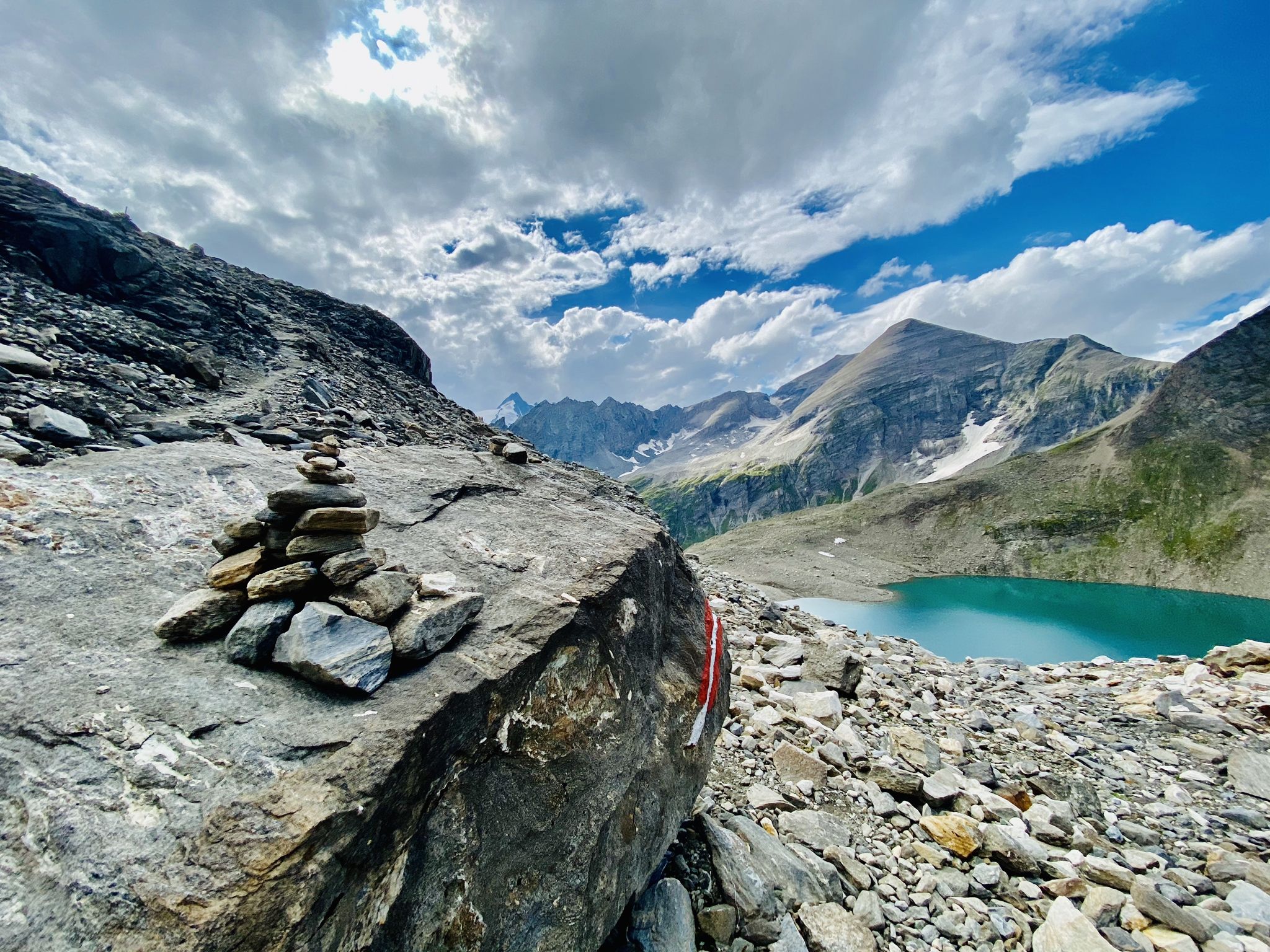
The Tauernhöhenweg – Once across the Hohe Tauern

Ruperti Trail – Hike from Austria's Bohemian Forest to the Carnic Alps
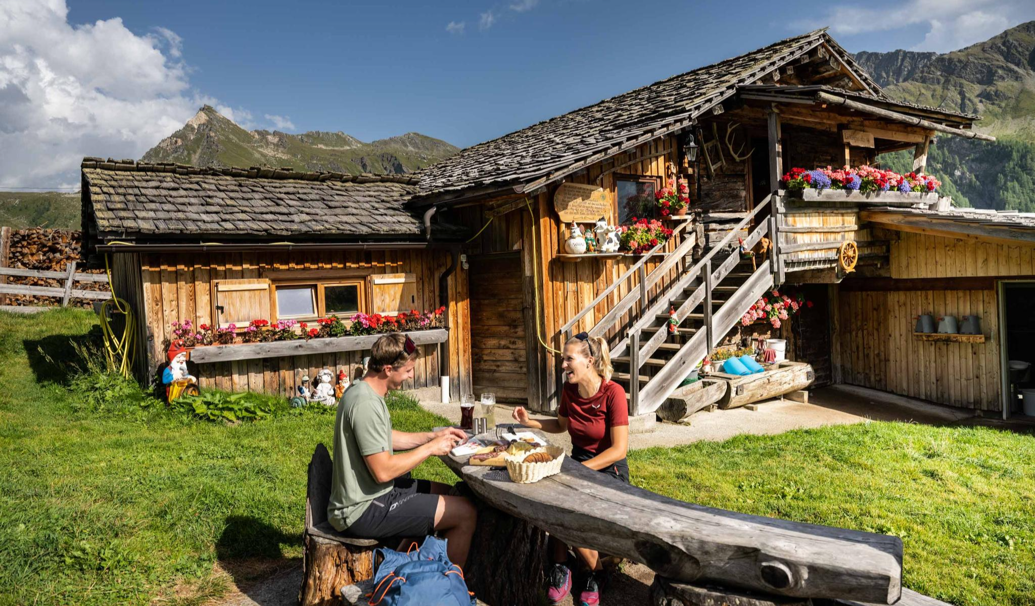
Peak happiness – hut hikes in the High Tauern
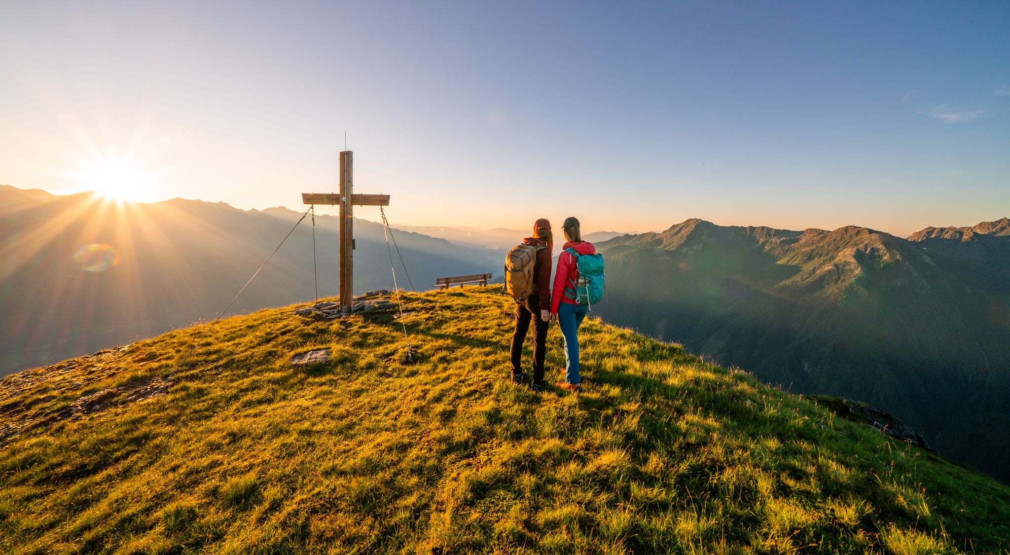
Your time out – long-distance hiking trails in the High Tauern
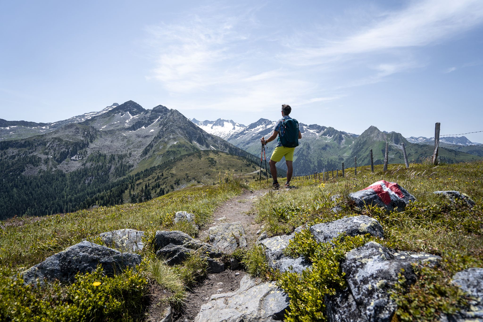
Best views of the highest mountains — Hohe Tauern Panorama Trail

An alpine adventure – from east to west through Austria
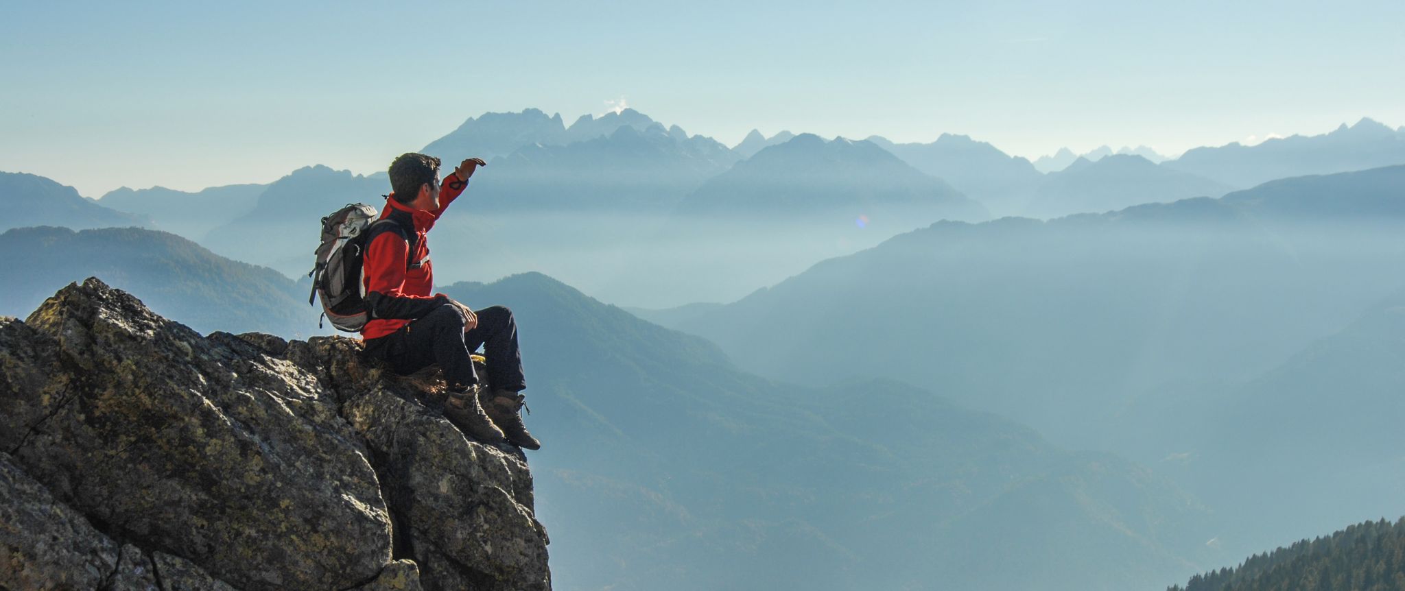
Peaks and gorges in the Hohe Tauern
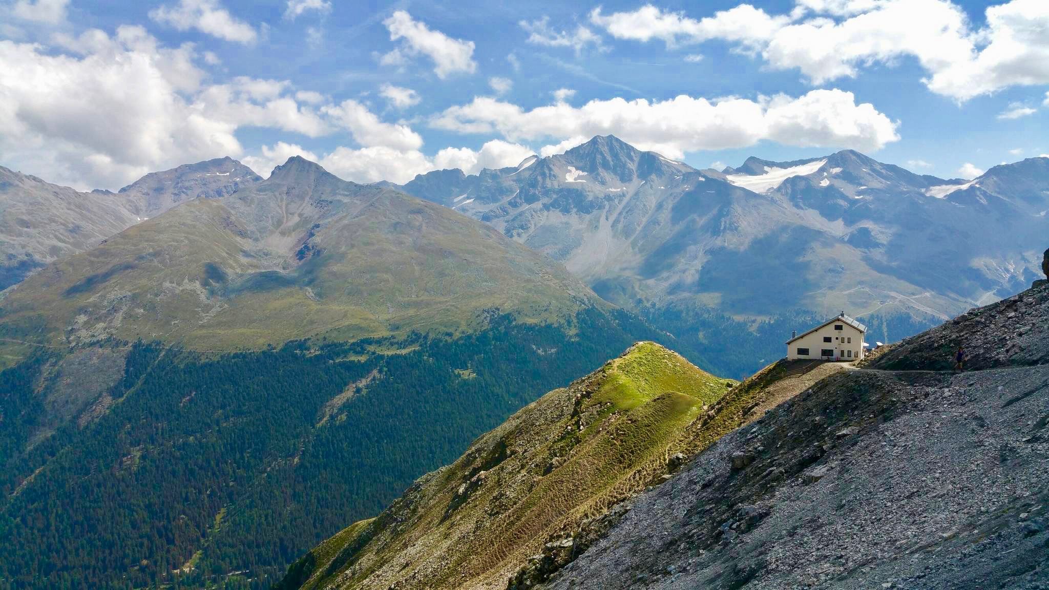
Huts with fantastic views
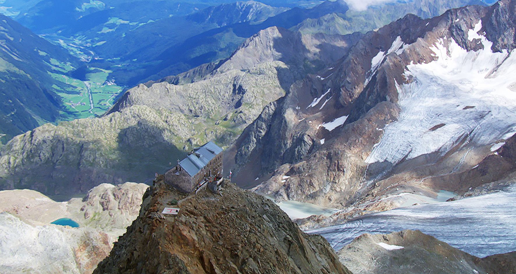
Sleep above 3000 meters
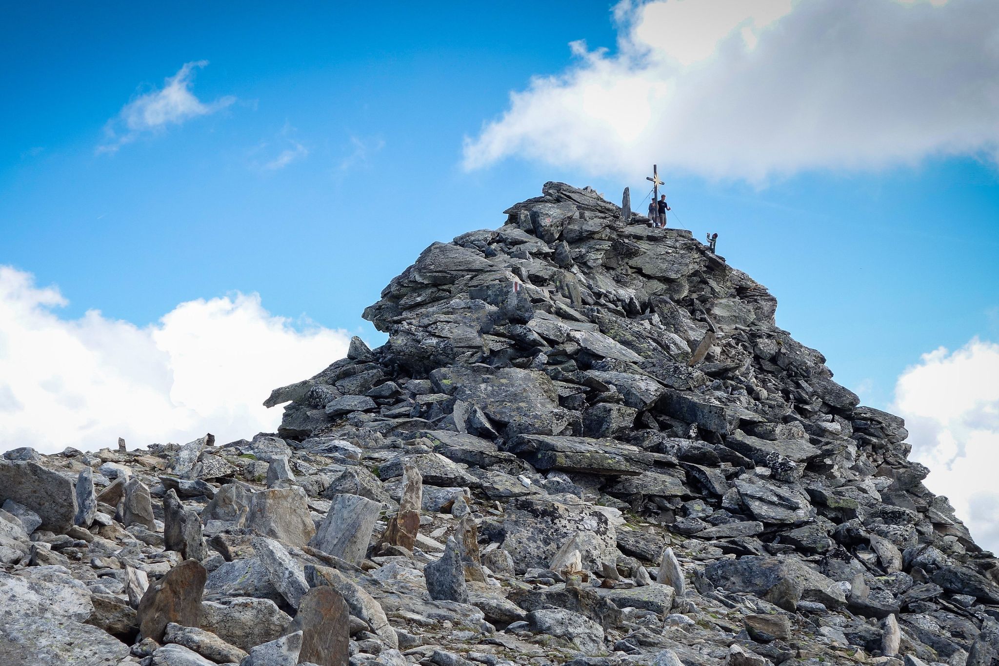
Your first 3000m peak
Other adventures around Nationalpark Hohe Tauern


Tips from the Community

great road for all types of bikes and still quite quiet in May
0
0

What a panorama and sense of accomplishment to have made it over the pass by bike.
0
0

A beautiful view of the bridge
0
0

A nice view up, no idea what that is.
0
1

The bike path from Mallnitz to Spittal is well signposted! Some sections require chunkier tires! 🚵♂️ There's plenty of interesting things to see and some great places to stop for a break!
2
0
The bike path from Mallnitz to Möllbrücke is well signposted! Some sections require chunkier tires! 🚵♂️
2
0

The Möll, the main river of the valley, which rises above Heiligenblut!
0
0

Be careful of fire extinguishers in this area
0
0
Frequently Asked Questions
How many road cycling routes are available in Nationalpark Hohe Tauern?
Nationalpark Hohe Tauern offers a wide selection of road cycling routes, with over 60 tours available. These range from easy to difficult, catering to various skill levels.
What kind of terrain can I expect on road cycling routes in Nationalpark Hohe Tauern?
The terrain in Nationalpark Hohe Tauern is characterized by a high alpine environment, featuring majestic mountains, expansive glaciers, and alpine meadows. You'll encounter significant elevation gains, winding roads through valleys, and ascents to high mountain passes, offering a diverse and challenging experience.
Are there challenging road cycling routes for experienced cyclists?
Absolutely. The region is renowned for its challenging routes, including the iconic Grossglockner High Alpine Road. Routes like the Fuscherkarkopf – Grossglockner High Alpine Road loop from Pockhorn, with its 36 demanding hairpin bends and significant elevation, are designed for experienced riders. Overall, there are 20 difficult routes in the area.
Are there easier road cycling options for beginners or less experienced riders?
Yes, while the region is known for its challenging climbs, there are also easier road cycling options. You can find 9 routes classified as easy, providing a gentler introduction to road cycling in the Nationalpark Hohe Tauern area.
What natural features or landmarks can I see along the road cycling routes?
Road cycling routes in Nationalpark Hohe Tauern offer breathtaking views of Austria's highest peak, the Grossglockner. You can also encounter impressive natural features such as the Valley of Waterfalls, the Schleier Waterfall, and various gorges like the Krumltal – Valley of Vultures and Eagles. The region is also home to numerous glaciers and over 300 peaks exceeding 3,000 meters.
Are there circular road cycling routes available?
Yes, many road cycling routes in Nationalpark Hohe Tauern are designed as loops, allowing you to start and finish at the same point. Examples include the Puch – Drau Bridge Sachsenburg loop from Mallnitz-Obervellach and the Hochtor Pass Summit – Heiligenblut from above loop from Pockhorn.
What is the best time of year for road cycling in Nationalpark Hohe Tauern?
The optimal time for road cycling in Nationalpark Hohe Tauern is typically from late spring to early autumn, when mountain passes are clear of snow and weather conditions are more stable. For routes like the Grossglockner High Alpine Road, starting early in the morning (by 8:00 AM) or later in the afternoon (after 3:00 PM) is recommended to avoid heavy traffic.
What do other cyclists say about road cycling in Nationalpark Hohe Tauern?
The road cycling experience in Nationalpark Hohe Tauern is highly rated by the komoot community, with an average score of 4.4 stars from over 200 reviews. Cyclists often praise the spectacular scenery, the challenge of the high alpine roads, and the diverse natural features encountered along the way.
Are there places to stop for refreshments or food along the routes?
Given the popularity of the region for outdoor activities, you will find various opportunities for refreshments. Along major routes and in villages, there are cafes, restaurants, and alpine huts where you can stop for food and drinks. It's always advisable to check opening times, especially in off-peak seasons.
Can I access road cycling routes using public transport?
While specific public transport options vary by route and starting point, many areas within and around Nationalpark Hohe Tauern are accessible by regional buses or trains. Some services may offer bike transport, but it's best to check schedules and availability with local transport providers in advance, especially for longer journeys or specific routes.
What are the options for parking when starting a road cycling tour?
Parking is generally available in the towns and villages that serve as common starting points for road cycling tours. For popular routes like the Grossglockner High Alpine Road, designated parking areas are provided. Always look for official parking signs and be mindful of any fees or restrictions.
Are there any less crowded road cycling routes in the Nationalpark Hohe Tauern?
While the Grossglockner High Alpine Road can be busy, especially during peak hours, the Nationalpark Hohe Tauern offers many other routes. Exploring some of the less-known valleys or starting your ride early in the morning or late afternoon can help you find quieter roads. Routes like the Rauriser Höhe Near Embach – Rauriserhöhe Pass (978 m) loop from Wörth might offer a more serene experience.
Most popular routes around Nationalpark Hohe Tauern
Most popular attractions around Nationalpark Hohe Tauern

Get inspired with the komoot mobile app


Explore more
Browse the best Road cycling routes in other regions.
