The best gravel rides around Réserve naturelle des Aiguilles rouges
4.3
(27)
226
riders
15
rides
Gravel biking around Réserve naturelle des Aiguilles rouges offers routes through a mountainous landscape characterized by significant elevation changes and alpine scenery. The region features numerous cols and valleys, providing varied terrain for gravel cyclists, with elevations ranging from approximately 1,200 meters to 2,965 meters. Routes often include views of the Mont Blanc massif and traverse diverse ecosystems, including forests, alpine pastures, and areas with scree, springs, and peat bogs. The landscape is defined by the distinctive reddish gneiss rock…
Last updated: August 26, 2026
3.2
(5)
35
riders
51.2km
04:15
1,630m
1,630m
Hard gravel ride. Very good fitness required. Mostly paved surfaces. Suitable for all skill levels.
4.0
(4)
44
riders
18.8km
01:08
110m
110m
Easy gravel ride. Great for any fitness level. Mostly paved surfaces. Suitable for all skill levels.

Sign up for free
20
riders
14.4km
01:03
160m
160m
Moderate gravel ride. Good fitness required. Mostly paved surfaces. Suitable for all skill levels.
6
riders
8.70km
00:38
80m
80m
Easy gravel ride. Great for any fitness level. Mostly paved surfaces. Suitable for all skill levels.
9
riders
29.7km
02:14
780m
780m
Hard gravel ride. Very good fitness required. Mostly paved surfaces. Suitable for all skill levels.
Get access to more routes and recommendations from other explorers.
Sign up for free
Already have an account?
Our route recommendations are based on thousands of hikes, rides, and runs completed by other people on komoot.
Start today with a free account
Your next adventure awaits.
Login or Signup
Popular around Réserve naturelle des Aiguilles rouges

Hiking to the summits – France's highest points

Hike from Savoie to Vanoise – Hexatrek in France’s Northern Alps
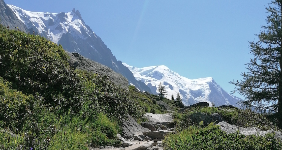
Running on ridges — 10 unforgettable trails near Chamonix
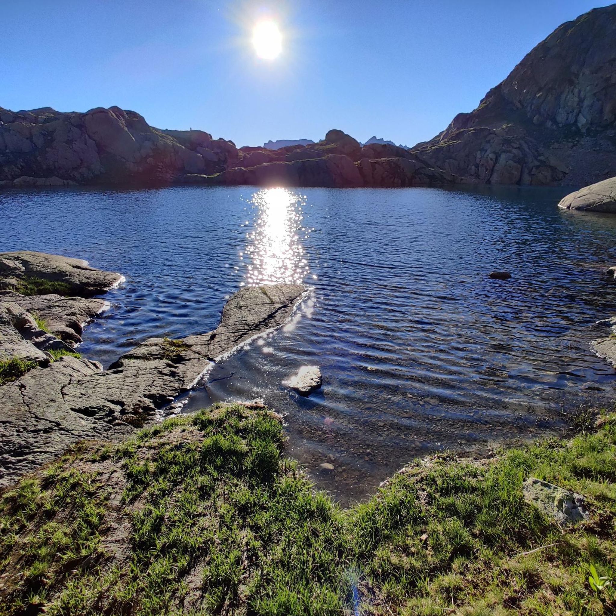
MTB Trails around Réserve naturelle des Aiguilles rouges
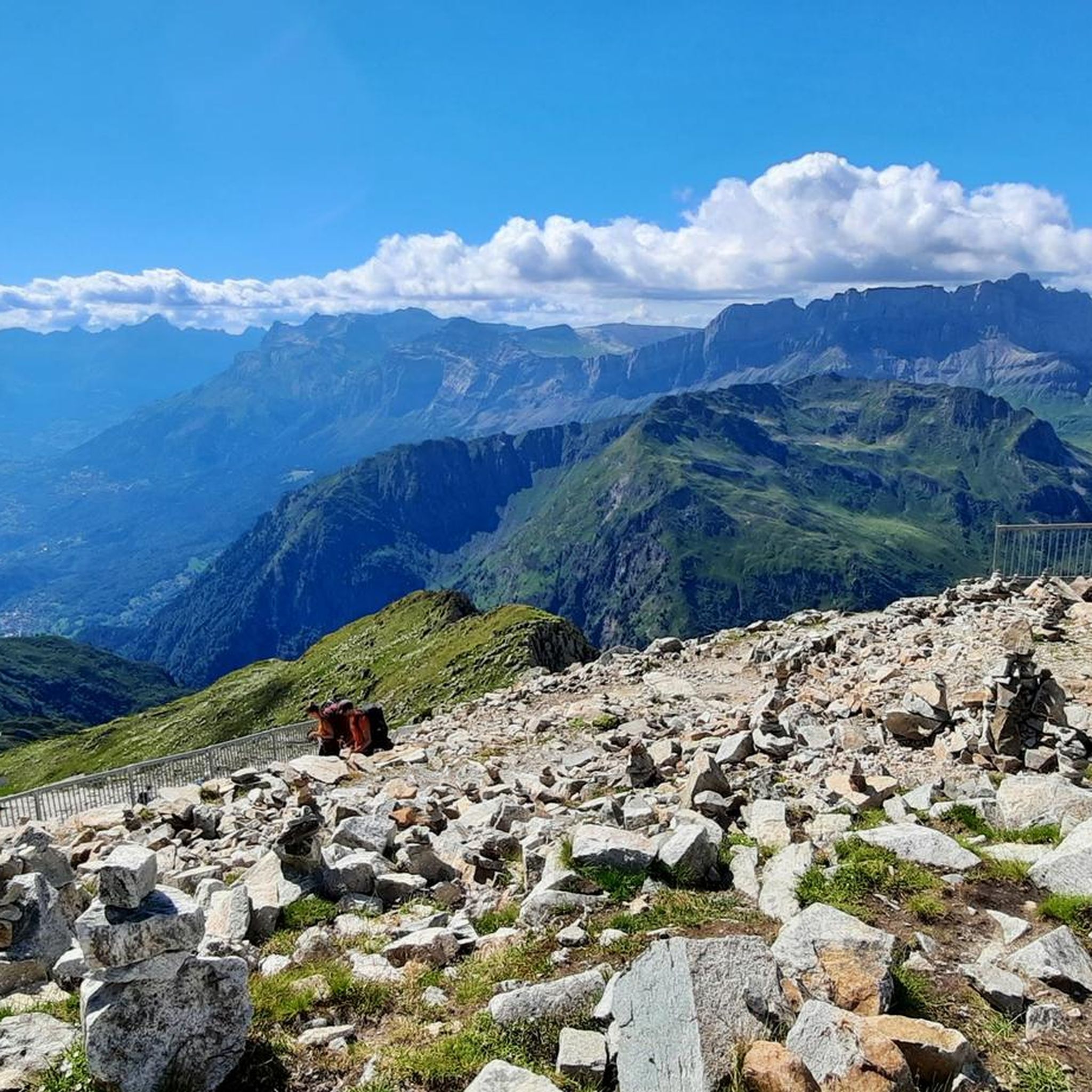
Running Trails around Réserve naturelle des Aiguilles rouges
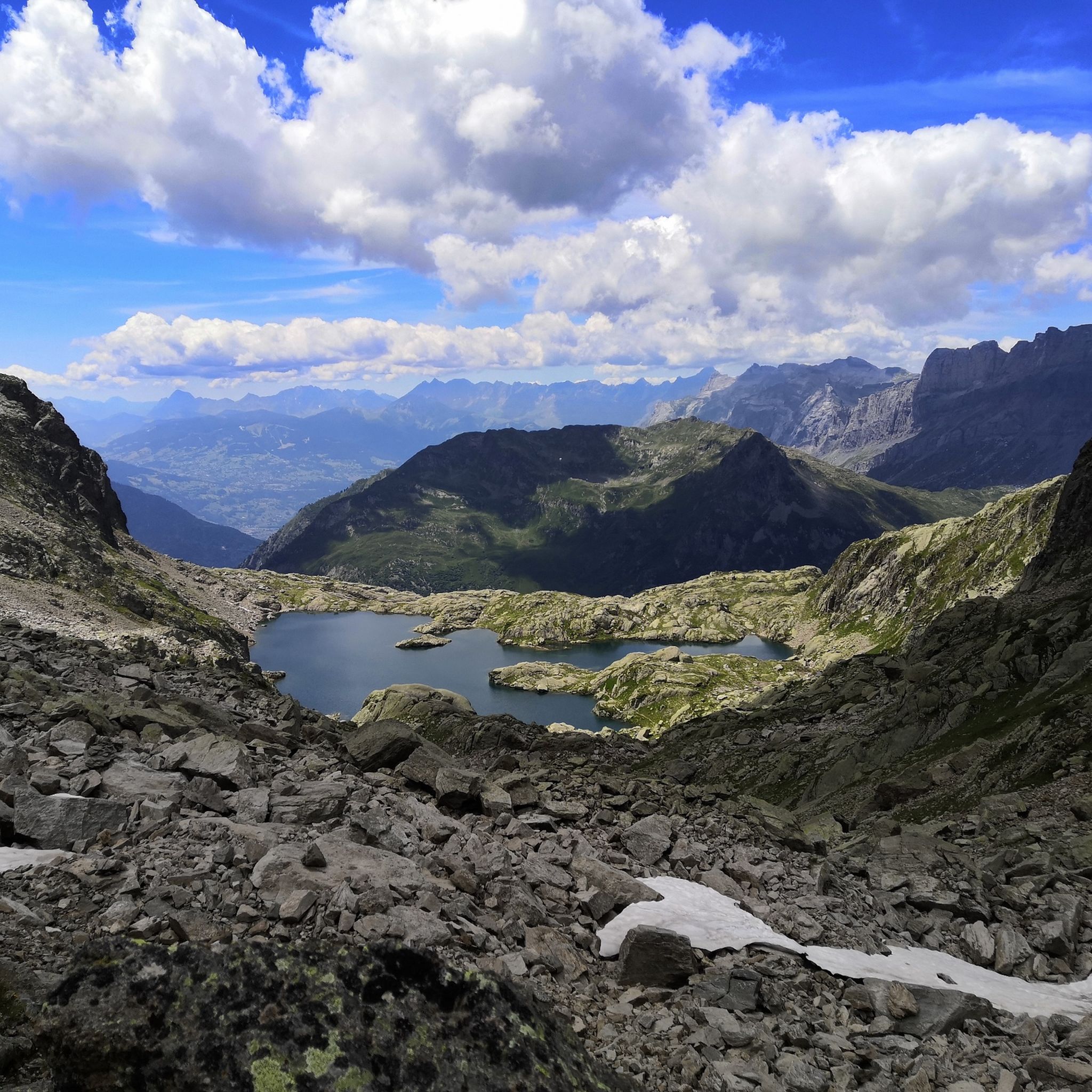
Hiking around Réserve naturelle des Aiguilles rouges
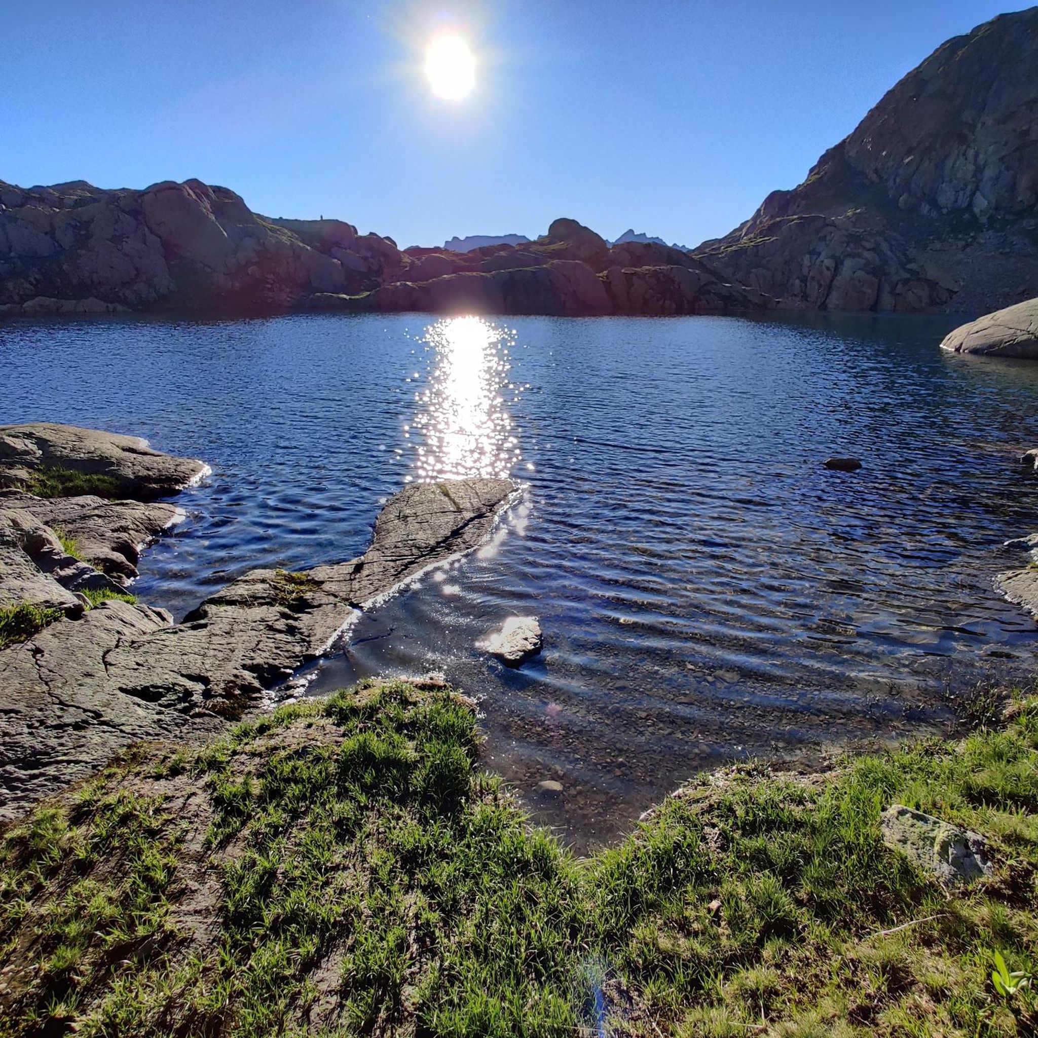
Road Cycling Routes around Réserve naturelle des Aiguilles rouges
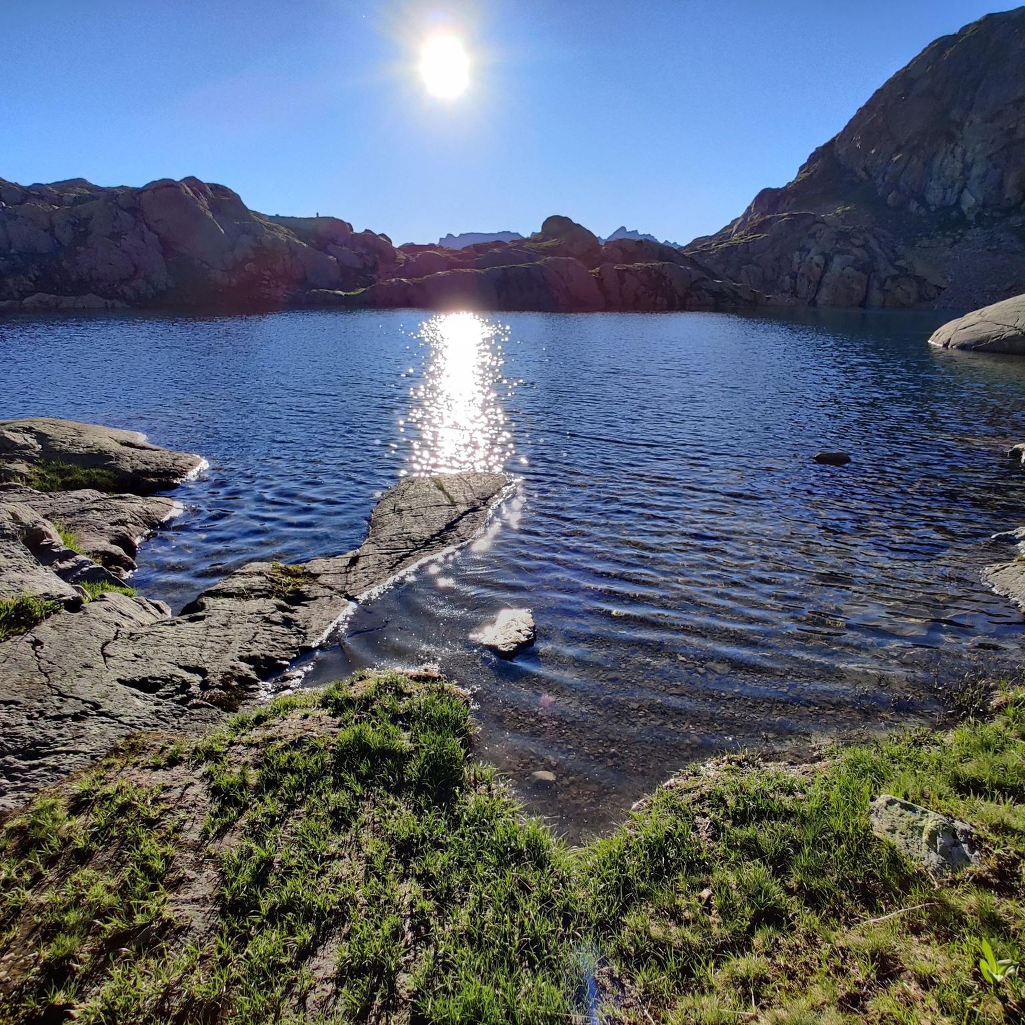
Cycling around Réserve naturelle des Aiguilles rouges

Mountain Hikes around Réserve naturelle des Aiguilles rouges
Other adventures around Réserve naturelle des Aiguilles rouges


Tips from the Community

This is a delightful stretch along the Arve from the centre of Chamonix. It makes for a lovely walk or run, with spectacular views towards Mont Blanc and its famous aiguilles. You can follow the Arve all the way to the Flégère lift station, where you can ride up to the trails of the Tour du Mont Blanc.
0
0

Chamonix is disarmingly beautiful, an open-air theatre in front of her with spectacular mountains and glaciers, an absolute must-see 🇨🇵❤️👊
0
0

The snack bar at Col de Voza has a lovely terrace in the summer. Delicious ice cream, a BBQ, and even live music. A very relaxed atmosphere.
2
0

Unique site in France with a succession of exceptional visuals.
1
0

From Les Houches, the exceptional panorama of the Aiguilles de Chamonix is captivating. The Mont-Blanc tramway, one of the last cogwheel railways in France, passes over the town. Its final station in summer, Nid d’Aigle, located at an altitude of 2,372 metres, is the starting point for the “usual” route for the ascent of Mont Blanc. In this small town there are several places to stay overnight if you are doing the Tour du Mont Blanc.
4
0

The Col de la Gueulaz, which peaks at 1,965 metres, hosted the 2016 Tour de France. The views of the Emosson dam and Mont Blanc are breathtaking.
1
0

Viewing the Mont Blanc massif is actually always beautiful from anywhere!
4
0
Frequently Asked Questions
How many gravel bike trails are available in Réserve naturelle des Aiguilles rouges?
There are over 30 gravel bike trails in Réserve naturelle des Aiguilles rouges. The region offers a diverse network, including 3 easy, 10 moderate, and 20 difficult routes, catering to various skill levels.
Are there any family-friendly or beginner gravel bike trails in Réserve naturelle des Aiguilles rouges?
Yes, while many routes are challenging, there are 3 easy and 10 moderate gravel bike trails suitable for beginners or families. A good option to consider is the View of Mont Blanc – Chamonix loop from Les Tines, which is a moderate 24.8 km path offering scenic views without extreme difficulty.
What kind of challenges can advanced gravel bikers expect in Réserve naturelle des Aiguilles rouges?
Advanced gravel bikers will find plenty of challenges in Réserve naturelle des Aiguilles rouges, with 20 difficult routes available. These trails often feature significant elevation changes, steep ascents to mountain passes, and technical descents. For instance, the Col des Montets (1,461 m) – Chamonix loop from Chamonix-Mont-Blanc is a demanding 53.2 km route with over 1,100 meters of elevation gain.
What scenic viewpoints or natural attractions can I find along gravel bike routes in Réserve naturelle des Aiguilles rouges?
Many gravel routes offer stunning views and pass by notable natural attractions. You can encounter breathtaking vistas like the View of Mont Blanc from Le Brévent, or serene alpine lakes such as Lac Blanc and Lacs des Chéserys. Mountain passes like Montets Pass are also frequently part of the routes, offering panoramic scenery.
Are there any circular gravel bike trails in the region?
Yes, many of the gravel bike trails in Réserve naturelle des Aiguilles rouges are designed as circular routes, allowing you to start and end at the same point. This includes popular options like the Emosson Dam – Col des Montets (1,461 m) loop from Montroc - Le Planet, which is a challenging 43.7 km loop.
What is the best time of year for gravel biking in Réserve naturelle des Aiguilles rouges?
The best time for gravel biking in Réserve naturelle des Aiguilles rouges is typically from late spring to early autumn (June to September). During these months, the weather is generally more stable, and mountain passes are clear of snow, offering optimal conditions for exploring the high-altitude trails.
Are there any less crowded gravel trails near Réserve naturelle des Aiguilles rouges?
While popular routes can see more traffic, exploring some of the less-traveled paths or visiting during off-peak hours (early mornings or weekdays) can offer a more serene experience. With 33 routes available, there are always options to discover quieter sections away from the main hubs.
What do other gravel bikers enjoy the most about gravel biking in Réserve naturelle des Aiguilles rouges?
The area is highly rated by the komoot community, with an average score of 4.4 stars from over 50 reviews. Reviewers often praise the challenging mountain passes, the stunning alpine valleys, and the panoramic views of the surrounding peaks, including glimpses of Mont Blanc.
Are there cafes or places to stop for refreshments near the gravel bike trails?
Given the popularity of the region for outdoor activities, you will find various cafes and restaurants in the towns and villages surrounding Réserve naturelle des Aiguilles rouges, such as Chamonix-Mont-Blanc. Many routes pass through or near these settlements, providing opportunities for refreshments.
What are the typical lengths of gravel bike routes in Réserve naturelle des Aiguilles rouges?
Gravel bike routes in Réserve naturelle des Aiguilles rouges vary significantly in length. You can find shorter, moderate trails around 25 km, such as the View of Mont Blanc – Chamonix loop from Les Tines. Longer, more challenging routes can extend to over 50 km, like the Col des Montets (1,461 m) – Chamonix loop from Chamonix-Mont-Blanc.
Is parking available for gravel bikers in Réserve naturelle des Aiguilles rouges?
Yes, parking is generally available in the towns and villages that serve as starting points for many gravel bike routes, such as Montroc - Le Planet, Tremplin de Saut des Bossons, and Chamonix-Mont-Blanc. It's advisable to check local parking regulations and availability, especially during peak season.
Most popular routes around Réserve naturelle des Aiguilles rouges
Most popular attractions around Réserve naturelle des Aiguilles rouges

Get inspired with the komoot mobile app


Explore more
Browse the best Gravel rides in other regions.
