The best walks and hikes around Réserve naturelle des Aiguilles rouges
4.6
(8949)
113,774
hikers
30
hikes
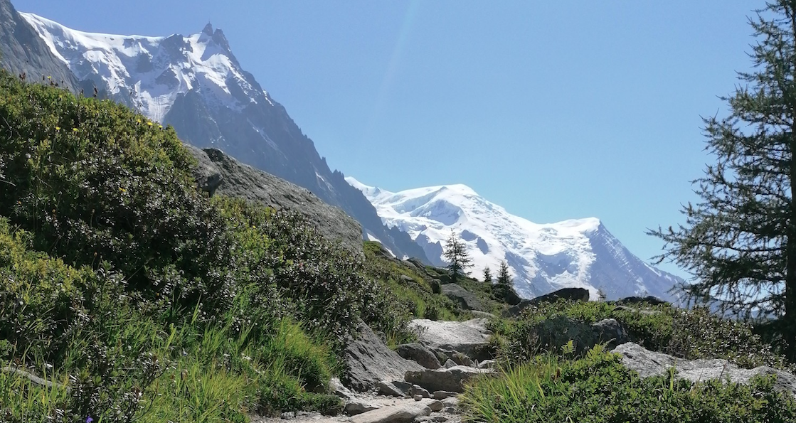
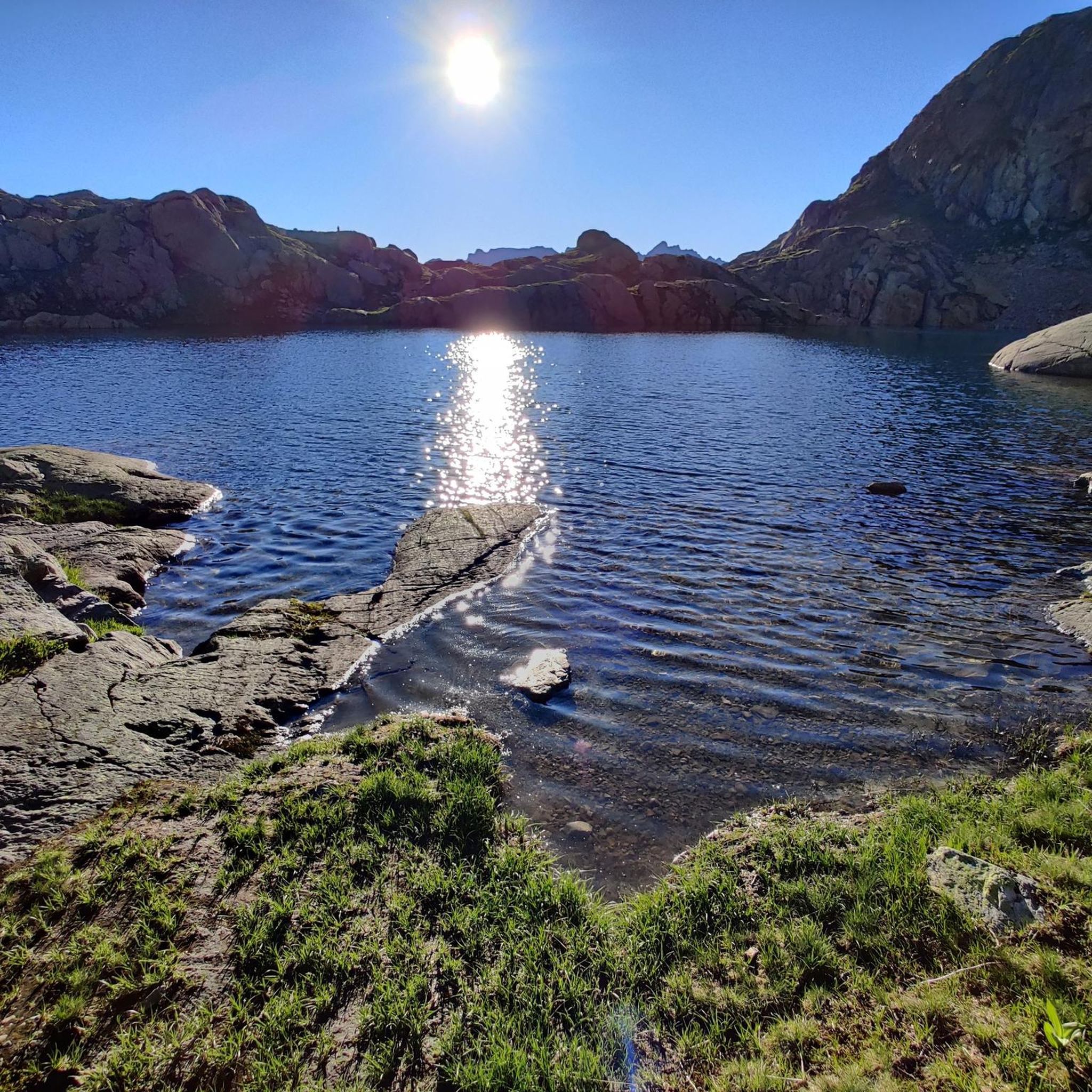
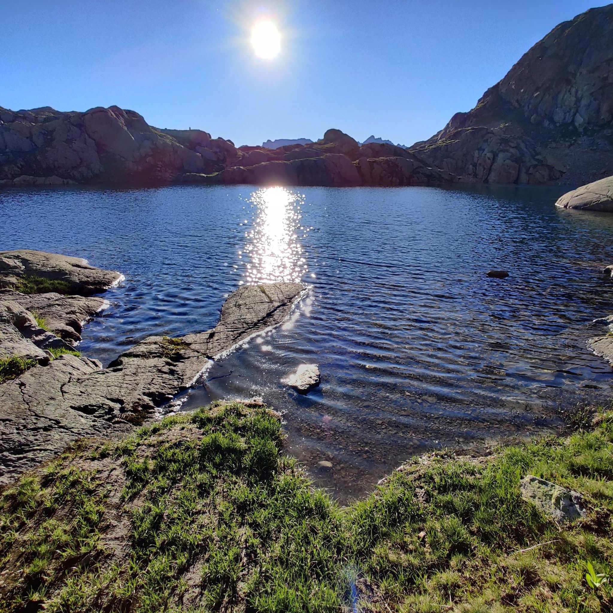
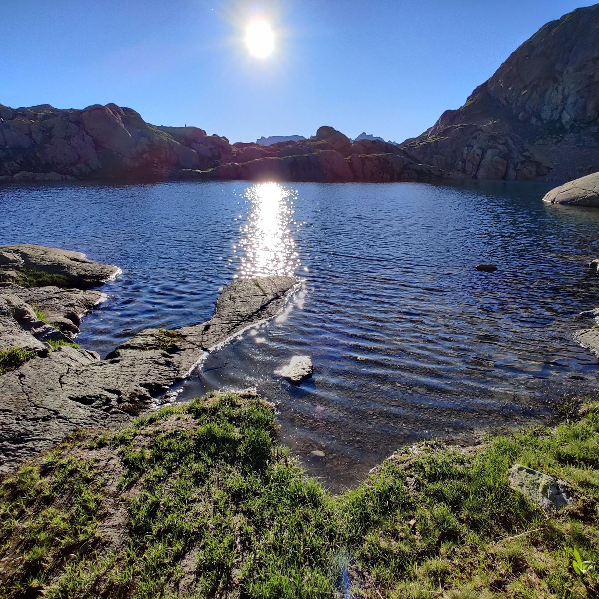
Hiking trails around Réserve naturelle des Aiguilles rouges traverse a diverse alpine landscape in the Haute-Savoie region of France, offering panoramic views of the Mont Blanc massif. The terrain is characterized by distinctive reddish rocks, known as the "Red Needles," which contrast with snow-capped peaks. Elevations range from 1,200 meters to nearly 3,000 meters, supporting ecosystems from spruce and larch forests to alpine meadows, scree, and glaciers. The reserve features numerous high-altitude lakes, including Lac Blanc, which reflect the surrounding peaks.
Best hiking trails around Réserve naturelle des Aiguilles rouges
- The most popular hiking route is Facing Mont Blanc – 4,808 metres (15,774 ft): highest point in France, a 10.4 miles (16.8 km) trail that takes 7 hours 57 minutes to complete. This difficult route offers expansive views of the Mont Blanc massif.
- Another top favourite among local hikers is Lac Blanc (White Lake) – Lac de la Flégère loop from Réserve naturelle du vallon de Bérard, a difficult 5.7 miles (9.2 km) path. This trail leads to the iconic Lac Blanc, known for its reflections of the Mont Blanc range.
- Local hikers also love the View of the Argentière Glacier – Grand Balcon Sud Trail loop from Col des Montets, a 4.9 miles (7.8 km) trail leading through varied alpine terrain, often completed in about 4 hours 5 minutes.
- Hiking around Réserve naturelle des Aiguilles rouges is defined by its distinctive red rock formations, high-altitude lakes, and extensive views of the Mont Blanc range. The network offers options for various ability levels, from moderate forest paths to challenging alpine ascents.
- The routes in Réserve naturelle des Aiguilles rouges are highly rated by the komoot community with an average score of 4.5 stars from over 1,800 reviews. More than 23,000 hikers have used komoot to explore Réserve naturelle des Aiguilles rouges's varied terrain.
Last updated: August 24, 2026
4.8
(86)
1,210
hikers
16.8km
07:57
1,200m
1,200m
Hard hike. Very good fitness required. Sure-footedness, sturdy shoes and alpine experience required.
4.7
(87)
1,548
hikers
Hard hike. Good fitness required. Sure-footedness, sturdy shoes and alpine experience required.

Sign up for free
4.8
(102)
1,474
hikers
10.2km
05:00
760m
760m
Moderate hike. Good fitness required. Mostly accessible paths. Sure-footedness required.
4.8
(31)
155
hikers
6.61km
02:57
420m
410m
Moderate hike. Good fitness required. Mostly accessible paths. Sure-footedness required.
4.6
(7)
63
hikers
9.52km
04:06
550m
540m
Moderate hike. Good fitness required. Mostly accessible paths. Sure-footedness required.
Get access to more routes and recommendations from other explorers.
Sign up for free
Already have an account?
Our route recommendations are based on thousands of hikes, rides, and runs completed by other people on komoot.
Start today with a free account
Your next adventure awaits.
Login or Signup
Popular around Réserve naturelle des Aiguilles rouges

Hiking to the summits – France's highest points

Hike from Savoie to Vanoise – Hexatrek in France’s Northern Alps
Running on ridges — 10 unforgettable trails near Chamonix
MTB Trails around Réserve naturelle des Aiguilles rouges
Running Trails around Réserve naturelle des Aiguilles rouges
Road Cycling Routes around Réserve naturelle des Aiguilles rouges
Cycling around Réserve naturelle des Aiguilles rouges

Mountain Hikes around Réserve naturelle des Aiguilles rouges

Gravel biking around Réserve naturelle des Aiguilles rouges
Other adventures around Réserve naturelle des Aiguilles rouges


Tips from the Community

The cable car 🚡 takes you to the mid-station or up to the Brévent. From both stations, you can enjoy beautiful hikes with views of Mont Blanc. Tickets can be booked online in advance or directly at the valley station. There is also a parking garage at the valley station. Further information is available at https://de.chamonix.com/tatichkeiten/praktische-informationen-zu-den-skiliften/seilbahn-le-brevent
1
0


Great location, hut flop. Hardly any food for hut guests, so you go to bed hungry, and the price is outrageously high. Absolutely not recommended for an overnight stay.
0
0


Quite a big climb and not very easy
0
0

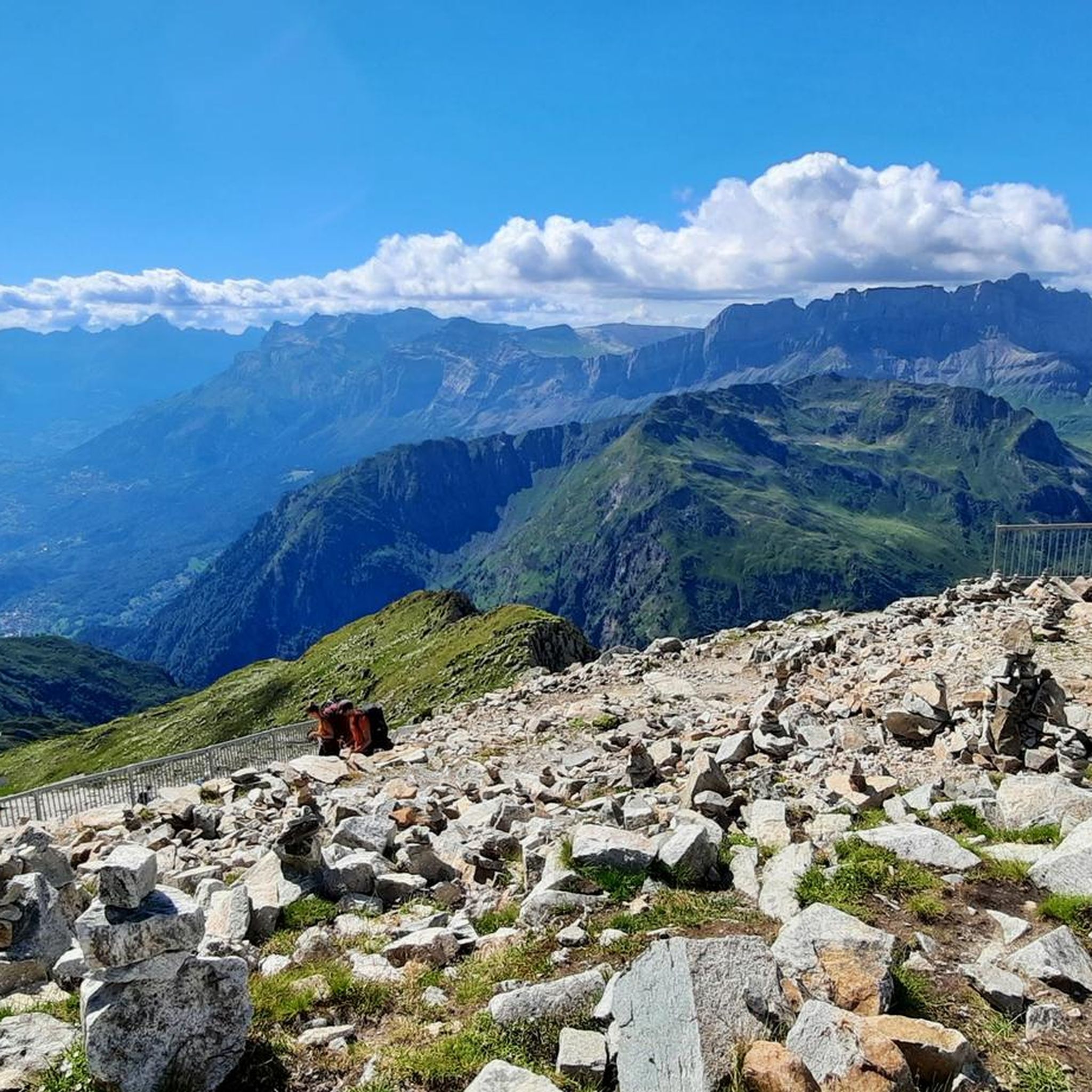
A few meters from the cable car is the summit of Le Brevent, more than 2,500 meters.
2
0
As soon as you exit the cable car you are left speechless at the massif in front of you.
1
0
Frequently Asked Questions
How many hiking trails are available in Réserve naturelle des Aiguilles rouges?
The Réserve naturelle des Aiguilles rouges offers a network of over 250 kilometers of trails, with 28 distinct hiking routes available on komoot. These range from easy walks to challenging alpine ascents, catering to various fitness levels.
What is the best time of year to hike in Réserve naturelle des Aiguilles rouges?
The best time for hiking in Réserve naturelle des Aiguilles rouges is generally from late spring to early autumn (June to September), when trails are mostly free of snow and the weather is more stable. This period allows access to higher altitudes and offers the most vibrant flora and fauna.
What kind of terrain can I expect when hiking in Réserve naturelle des Aiguilles rouges?
Hikers can expect a diverse alpine landscape, characterized by the distinctive reddish rocks of the 'Red Needles' and panoramic views of the Mont Blanc massif. The terrain varies from spruce and larch forests at lower elevations to rhododendron moors, sub-alpine meadows, and higher mineral landscapes of scree and moraines. Many routes feature significant elevation changes.
Are there easy hiking trails suitable for beginners or families?
Yes, there are easy trails suitable for beginners and families. For instance, a particularly accessible nature trail starts near the information center at Col des Montets, taking about 45 minutes at a leisurely pace. On komoot, there are 2 easy routes, and 20 moderate routes that might also be suitable for families looking for a bit more challenge.
What wildlife might I encounter in Réserve naturelle des Aiguilles rouges?
The reserve is rich in wildlife. You might frequently spot marmots, which are often unafraid of hikers. Chamois and ibex are also present, particularly in the western half of the reserve. Birdwatchers can look for species like the golden eagle, ptarmigan, and chough at higher altitudes.
Are there any notable lakes to visit during a hike?
Absolutely. The reserve is home to approximately 17 lakes. Two of the most iconic are Lac Blanc and Lacs des Chéserys, both renowned for their stunning reflections of the Mont Blanc peaks. You can experience Lac Blanc on the difficult route Lac Blanc (White Lake) – Lac de la Flégère loop from Réserve naturelle du vallon de Bérard.
What are some of the best viewpoints in the reserve?
The entire reserve offers breathtaking panoramic views of the Mont Blanc range. Notable viewpoints include View of Mont Blanc from Le Brévent, which can be accessed via routes like View from the cable car – Lake Brévent loop from Le Brévent. The high-altitude lakes also provide spectacular reflective views of the surrounding peaks.
Are there circular hiking routes available in the reserve?
Yes, several circular routes are available. For example, the moderate route View of the Argentière Glacier – Grand Balcon Sud Trail loop from Col des Montets offers varied alpine terrain. Another option is the difficult Lac Blanc (White Lake) – Lac de la Flégère loop from Réserve naturelle du vallon de Bérard.
How can I access the Réserve naturelle des Aiguilles rouges by public transport?
The reserve is accessible from Chamonix. You can reach trailheads like Col des Montets by local bus services. Additionally, lifts from Flégère or Brévent provide access to higher parts of the reserve, connecting to various hiking paths.
Is parking available for hikers at the trailheads?
Yes, parking is generally available at key access points and trailheads, such as near the Col des Montets. However, during peak season, these spots can fill up quickly, so it's advisable to arrive early or consider public transport options.
Can I bring my dog on the trails in Réserve naturelle des Aiguilles rouges?
As a protected natural reserve, specific regulations regarding dogs may apply to protect wildlife and the environment. It's always best to check local signage or the official reserve guidelines before bringing your dog, as restrictions on certain trails or requirements for leashes may be in place.
What do other hikers enjoy the most about hiking in Réserve naturelle des Aiguilles rouges?
The area is highly rated by the komoot community, with an average score of 4.5 stars from over 1,800 reviews. Hikers frequently praise the unparalleled panoramic views of the Mont Blanc massif, the distinctive red rock formations, and the serene high-altitude lakes like Lac Blanc.
Most popular routes around Réserve naturelle des Aiguilles rouges
Most popular attractions around Réserve naturelle des Aiguilles rouges

Get inspired with the komoot mobile app


Explore more
Browse the best Hikes in other regions.
